Off-Road Trails in Colorado

Discover off-road trails in Colorado

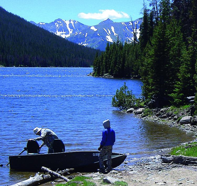
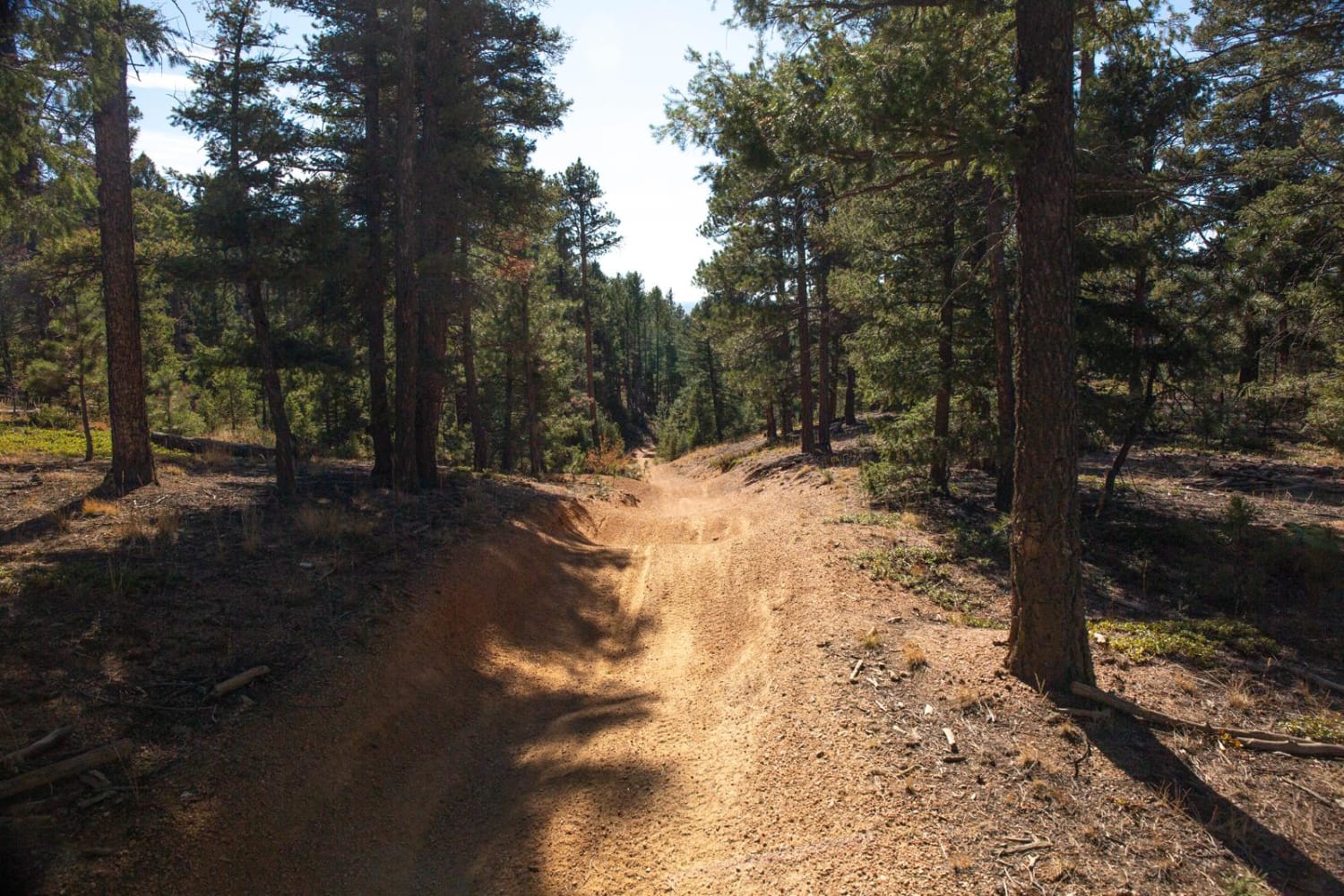
Learn more about N Clear Creek Road
N Clear Creek Road

N Clear Creek Road

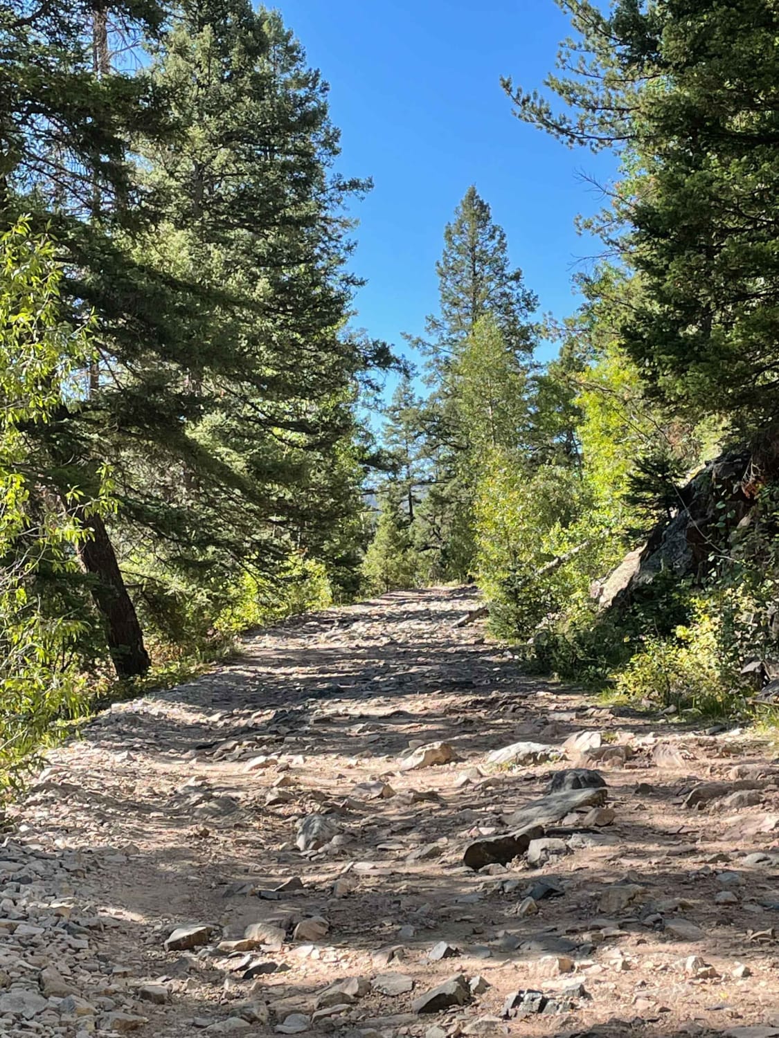
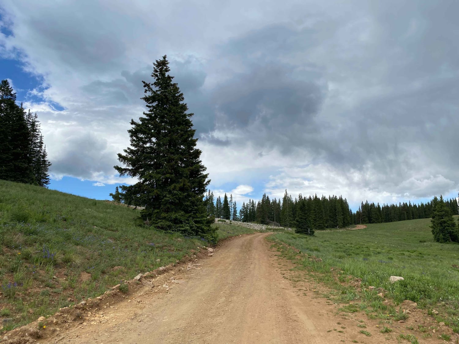
This trail is an offshoot from Apex Road. If you want something slightly more technically challenging than Apex, this is a fun alternative to explore. The trail is fairly tight. 4WD is required in a…
Learn more about N Clear Creek Road
Total Miles
3.2
Tech Rating
3 Moderate
Best Time
Summer
Learn more about Napoleon Pass
Napoleon Pass

Napoleon Pass

Climb along Continental Divide with 12,000-foot views at Napoleon Pass. You'll cross several creeks, so expect to get muddy. Take time to explore Tincup Cemetery and the old Gold Cup Mine. This route may close…
Learn more about Napoleon Pass
Total Miles
6.2
Tech Rating
5 Difficult
Best Time
Summer, Fall
Learn more about Narrow Gauge Ditch Part 1
Narrow Gauge Ditch Part 1

Narrow Gauge Ditch Part 1

This trail, part of the Flat Top Peach Valley Recreation Area, starts right by the Elephant Skin staging area in a wide grassy arroyo with dirt walls. The trail and tracks have been washed away…
Learn more about Narrow Gauge Ditch Part 1
Total Miles
1.6
Tech Rating
4 Moderate
Best Time
Fall, Spring
Learn more about Natural Arch
Natural Arch

Natural Arch

This road is a connecting road to many other roads, it will get you to hikes, camping spots, and fun areas. There is no camping along this road; it does go through private property as…
Learn more about Natural Arch
Total Miles
6.0
Tech Rating
1 Easy
Best Time
Spring, Summer, Fall
Learn more about NE Passage via Cimarron Canyon
NE Passage via Cimarron Canyon

NE Passage via Cimarron Canyon

This is a very long dirt road route connecting Clayton Lake State Park NM and Trinidad, Colorado. There is a shortcut that will eliminate approximately 20 miles (if you look at the route closely, it's…
Learn more about NE Passage via Cimarron Canyon
Total Miles
118.7
Tech Rating
2 Easy
Best Time
Spring, Fall, Summer, Winter
Learn more about Nellie Creek Road
Nellie Creek Road

Nellie Creek Road

Nellie Creek Road is a rough and extremely narrow road normally used to access the Uncompahgre Peak Trailhead. There are numerous waterfalls and creek crossings. There are a few dispersed camping sites suitable for tent…
Learn more about Nellie Creek Road
Total Miles
7.9
Tech Rating
4 Moderate
Best Time
Summer
Learn more about Nevadaville Loop
Nevadaville Loop

Nevadaville Loop

Journey through mines, old structures, buildings and cemeteries along this route to the town of Nevadaville. There are still a few people living there, so please be considerate. There is a fun kids' playground in…
Learn more about Nevadaville Loop
Total Miles
3.8
Tech Rating
2 Easy
Best Time
Summer, Fall
Learn more about NF 502-1 Phoenix Park Waterfall
NF 502-1 Phoenix Park Waterfall

NF 502-1 Phoenix Park Waterfall

This trail forks off of the upper end of East Willow Creek Road. It starts out a little rocky, but once you leave that section, the road becomes more dirt with a few fun stream…
Learn more about NF 502-1 Phoenix Park Waterfall
Total Miles
2.2
Tech Rating
3 Moderate
Best Time
Spring, Summer, Fall
Learn more about NF 517
NF 517

NF 517

This is a nice national forest road that connects Bachelor Loop with Miners Creek Road. There are some terrific views along the way. From Miners Creek you can also access Shallow Creek and Sawmill Gulch…
Learn more about NF 517
Total Miles
1.3
Tech Rating
1 Easy
Best Time
Spring, Summer, Fall
Learn more about NF 520 - Rio Grande Reservoir & Headwaters
NF 520 - Rio Grande Reservoir & Headwaters

NF 520 - Rio Grande Reservoir & Headwaters

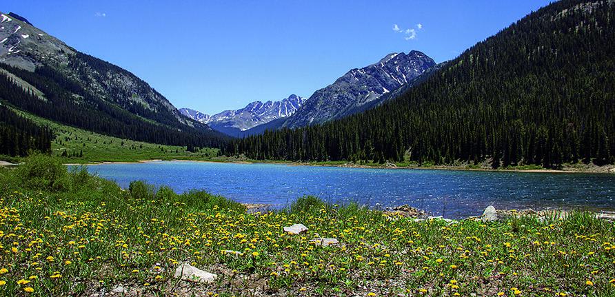
This trail takes you up along the Rio Grande past its reservoir to the headwaters. There is beautiful scenery, campsites along the river and some of the best trout fishing to be had. It runs…
Learn more about NF 520 - Rio Grande Reservoir & Headwaters
Total Miles
24.6
Tech Rating
3 Moderate
Best Time
Spring, Summer, Fall
Learn more about Nipple Peak
Nipple Peak

Nipple Peak

Nipple Peak is an intermediate 7-mile single track in the Routt National Forest north of Steamboat, Colorado that is full of beautiful meadows, shelfy sections, tight curves, rock sections, and big roots. The trail is…
Learn more about Nipple Peak
Total Miles
6.9
Tech Rating
4 Moderate
Best Time
Fall, Summer
Learn more about Nipple Peak ATV Trail
Nipple Peak ATV Trail

Nipple Peak ATV Trail

This is an easy 50-inch trail in the Hahn's Peak trail system north of Steamboat, Colorado. The trail has some loose sticks, small roots, and rocks as it goes through wide-open meadows and aspen trees.…
Learn more about Nipple Peak ATV Trail
Total Miles
4.3
Tech Rating
2 Easy
Best Time
Summer, Fall
Learn more about No Name Ridge
No Name Ridge

No Name Ridge

No Name Ridge is a fun single track near the Elephant Skin Staging Area of the Flat Tops-Peach Valley recreation area. The trail follows a ridge line atop the soft adobe clay hills that make…
Learn more about No Name Ridge
Total Miles
1.8
Tech Rating
3 Easy
Best Time
Fall, Spring
Learn more about North & Middle Fork of the Swan River
North & Middle Fork of the Swan River

North & Middle Fork of the Swan River

There are some cool ghost town ruins to see along this trail that ends up at the top of Wise Mountain. Once you clear the timberline, you'll be treated to some simply amazing views. The…
Learn more about North & Middle Fork of the Swan River
Total Miles
13.6
Tech Rating
6 Difficult
Best Time
Summer, Fall
Learn more about North Beaver Creek (FS 123A)
North Beaver Creek (FS 123A)

North Beaver Creek (FS 123A)

This is a side trail from Beaver Creek (FS 123). The trail follows a small stream back into the woods going up in elevation. It offers lots of dispersed camping opportunities which are accessible with…
Learn more about North Beaver Creek (FS 123A)
Total Miles
1.5
Tech Rating
2 Easy
Best Time
Spring, Summer, Fall
Learn more about North Fork Cattle Creek Trail
North Fork Cattle Creek Trail

North Fork Cattle Creek Trail

This fun single track in the White River National Forest is mostly a fast and flowy single track through an aspen tree forest between 8 and 9k feet in elevation. If riding north to south…
Learn more about North Fork Cattle Creek Trail
Total Miles
5.1
Tech Rating
4 Moderate
Best Time
Summer
Learn more about North Henson Creek Road
North Henson Creek Road

North Henson Creek Road

North Henson Creek Road is one of the many spurs roads off Engineer Pass on the Alpine loop and offers numerous good dispersed camping sites including some larger sites. It is accessible for medium-sized RVs…
Learn more about North Henson Creek Road
Total Miles
4.2
Tech Rating
2 Easy
Best Time
Summer
Learn more about North Porcupine Trail
North Porcupine Trail

North Porcupine Trail

This is a 2.7-mile-long easy single track that is a fun and curvy trail through sagebrush and scrub oak. It's mostly flat, with only a couple of sections of small hills with loose rocks. It…
Learn more about North Porcupine Trail
Total Miles
2.6
Tech Rating
3 Easy
Best Time
Summer, Spring, Fall
Learn more about North Sand Hills
North Sand Hills

North Sand Hills

The area has a network of challenging trails just north of the dunes. It is a long trek from the Front Range, but definitely worth it. You will find a lot of different options for…
Learn more about North Sand Hills
Total Miles
5.4
Tech Rating
3 Difficult
Best Time
Winter
Learn more about Oak Escape South Rampart
Oak Escape South Rampart

Oak Escape South Rampart

This is an easy in-and-out in a dense oak forest. It breaks out into some meadows and views of the area. There are a few turn-offs for a snack or lunch break. This trail is…
Learn more about Oak Escape South Rampart
Total Miles
4.1
Tech Rating
3 Easy
Best Time
Spring, Summer, Fall

Go Farther

Try onX Offroad Elite for free for a week — no strings attached. Get access to thousands of off-road dirt trails and snowmobile trails across the nation. View your favorite zones in 3D. Send trails to friends. Start planning the trip of a lifetime now.