Off-Road Trails in Colorado

Discover off-road trails in Colorado

Learn more about Lookout Tower & Views-USFS Rd #651A
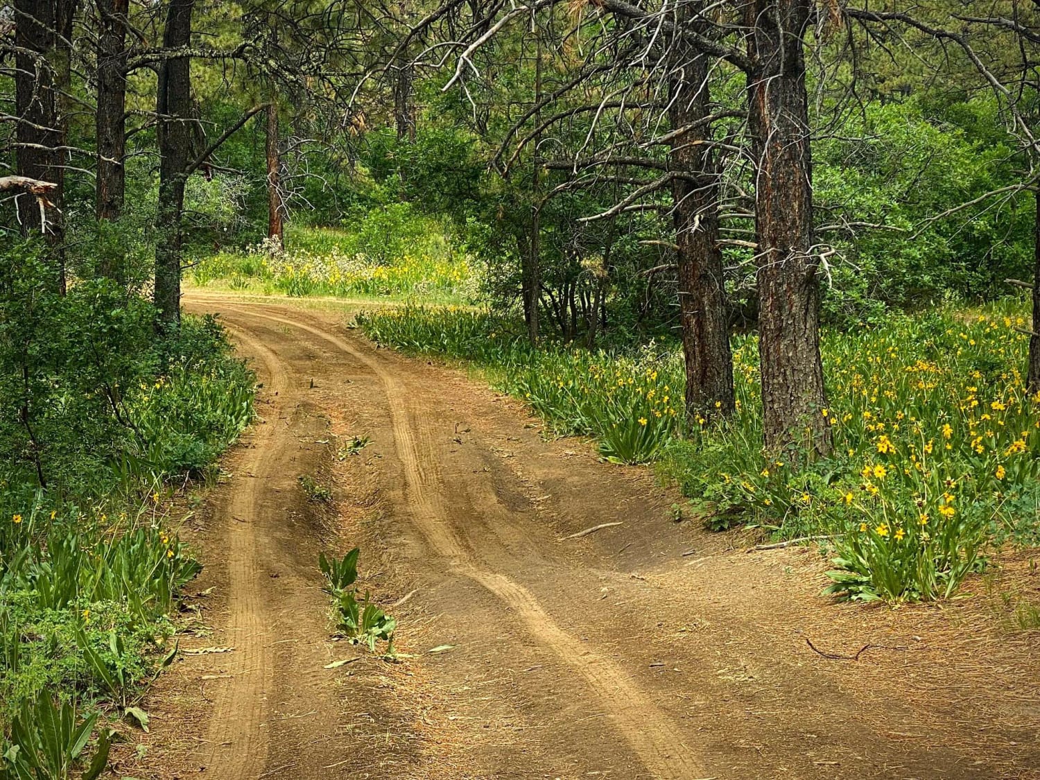
Lookout Tower & Views-USFS Rd #651A

Lookout Tower & Views-USFS Rd #651A

The Fork for Eight Mile Mesa A (#651A) is a short road to the right off of the main Eight Mile Mesa Road (#651). It leads you to the historic fire lookout tower site with…
Learn more about Lookout Tower & Views-USFS Rd #651A
Total Miles
1.2
Tech Rating
3 Easy
Best Time
Spring, Summer, Fall
Learn more about Loop 3
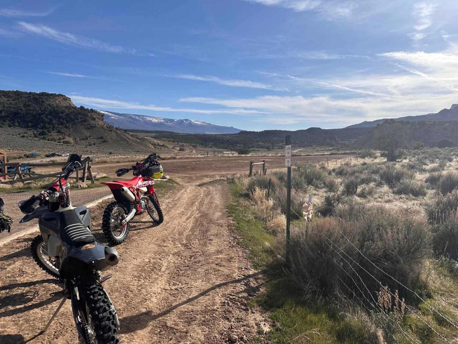
Loop 3

Loop 3

This is part of a designated OHV area often called Hubbard Mesa or JQS nestled below the Roan Plateau and north of the town of Rifle. Rifle rides most of the year save for heavy…
Learn more about Loop 3
Total Miles
15.2
Tech Rating
6 Moderate
Best Time
Spring, Summer, Fall, Winter
Learn more about Lost Canyon
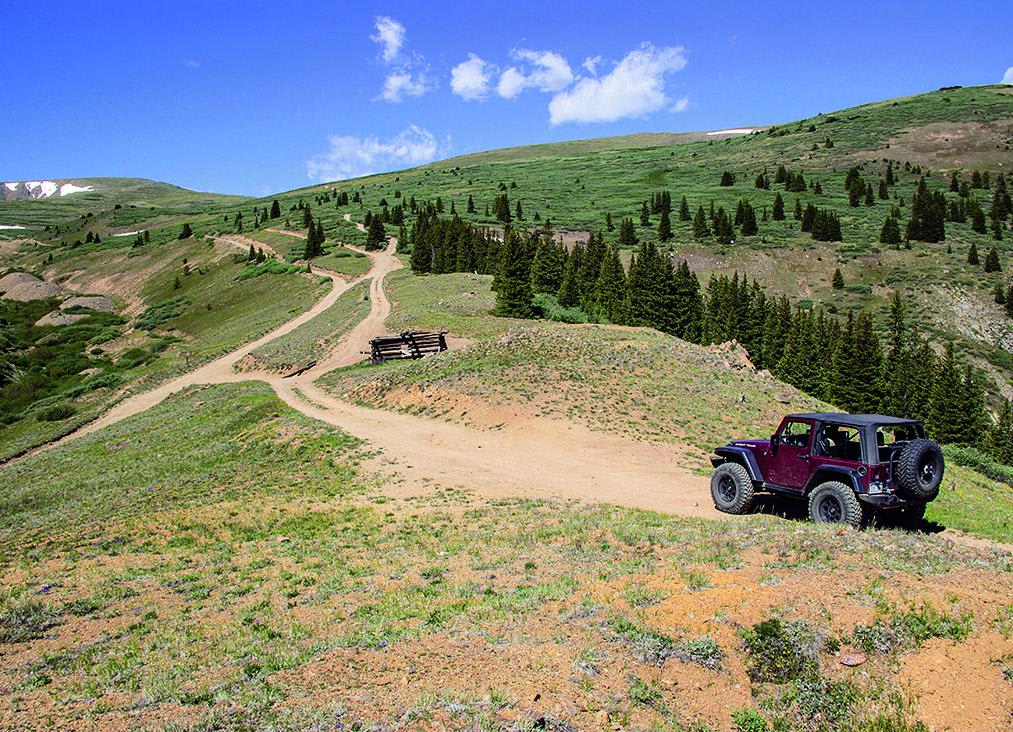
Lost Canyon

Lost Canyon

Panoramic views of Twin Lakes Reservoir, Mt. Elbert and Clear Creek Reservoir, as well as fantastic camping and gold-panning makes for a great weekend. There are some other fun side trails east of the river.…
Learn more about Lost Canyon
Total Miles
7.4
Tech Rating
4 Moderate
Best Time
Summer, Fall
Learn more about Lost Park Road
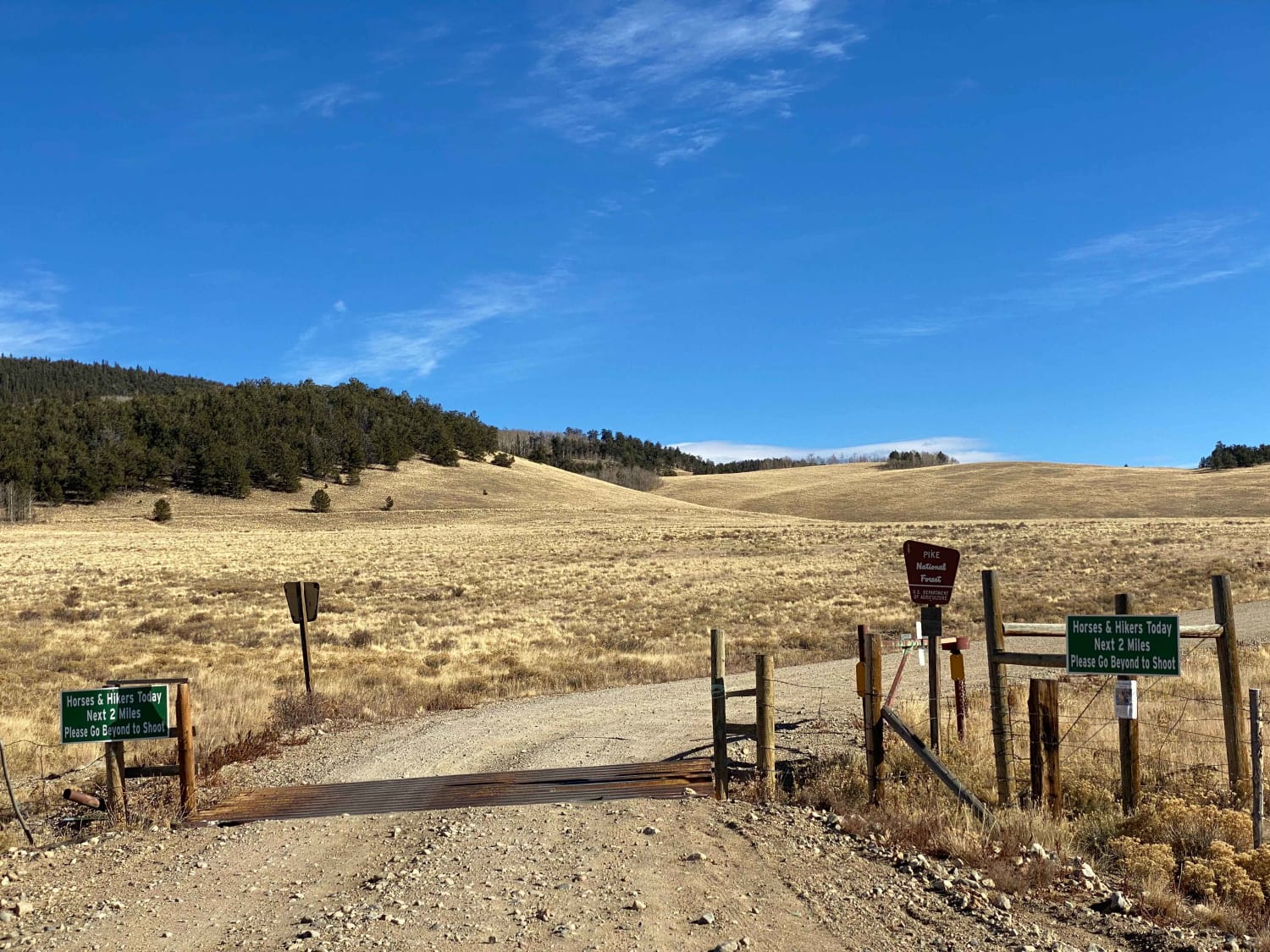
Lost Park Road

Lost Park Road

Lost Park Road begins on the east side off of HWY 285. This is a dirt road in good condition and is accessible by 2WD vehicles in dry conditions. Stretches of the road are washboard…
Learn more about Lost Park Road
Total Miles
17.5
Tech Rating
1 Easy
Best Time
Fall, Summer, Spring
Learn more about Lost Trail Road
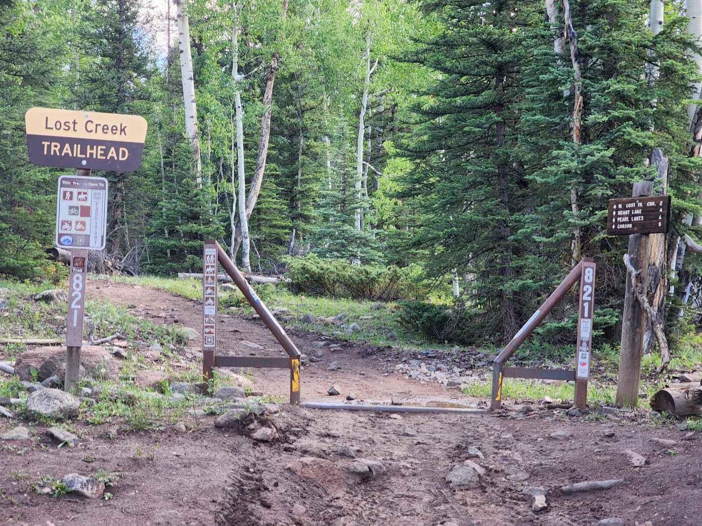
Lost Trail Road

Lost Trail Road

Lost Trail is a 50" trail more suited for dirt bikes than 50" vehicles. It is a connector between Cinnamon Pass (part of the Alpine Loop) and Stoney Pass via the interesting ghost town of…
Learn more about Lost Trail Road
Total Miles
9.2
Tech Rating
3 Easy
Best Time
Summer, Fall
Learn more about Loveland Road - FS 192/450
Loveland Road - FS 192/450

Loveland Road - FS 192/450

Starting from the Buckskin Road side is easy but will require 4-wheel drive. The road travels up through Pine Forest where the road is gravel turning into a more rocky road as you reach timberline,…
Learn more about Loveland Road - FS 192/450
Total Miles
3.9
Tech Rating
3 Easy
Best Time
Summer, Fall
Learn more about Lower Gold Camp Road
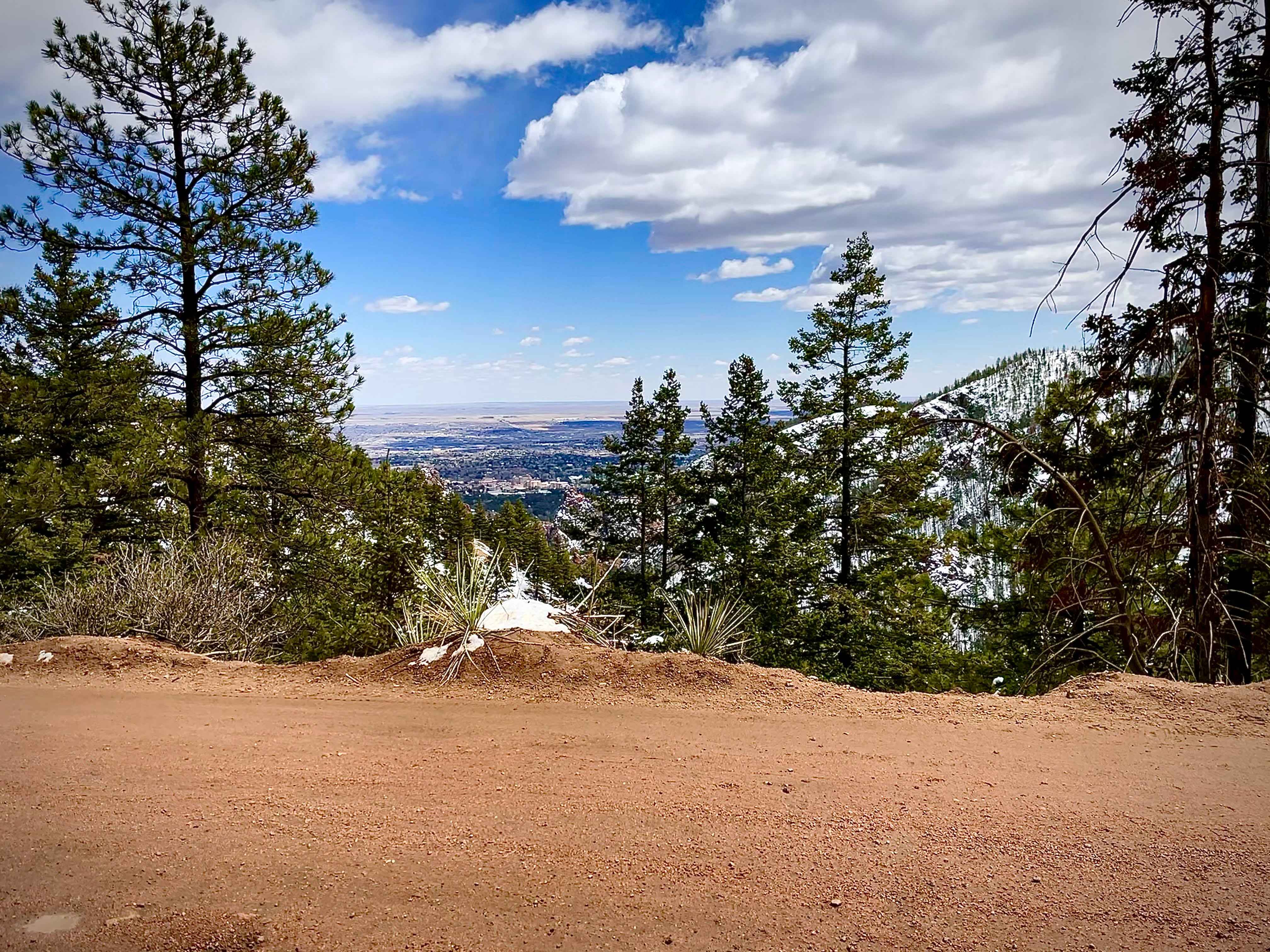
Lower Gold Camp Road

Lower Gold Camp Road

Dirt roads with some rocks scattered throughout. Good road that is easily accessible from Colorado Springs that virtually any car can handle. Multiple tunnels going through the mountains. Majority is two lane with multiple spots…
Learn more about Lower Gold Camp Road
Total Miles
5.6
Tech Rating
1 Easy
Best Time
Summer, Fall
Learn more about Lower Section of East Fork San Juan River Rd-Fr 667
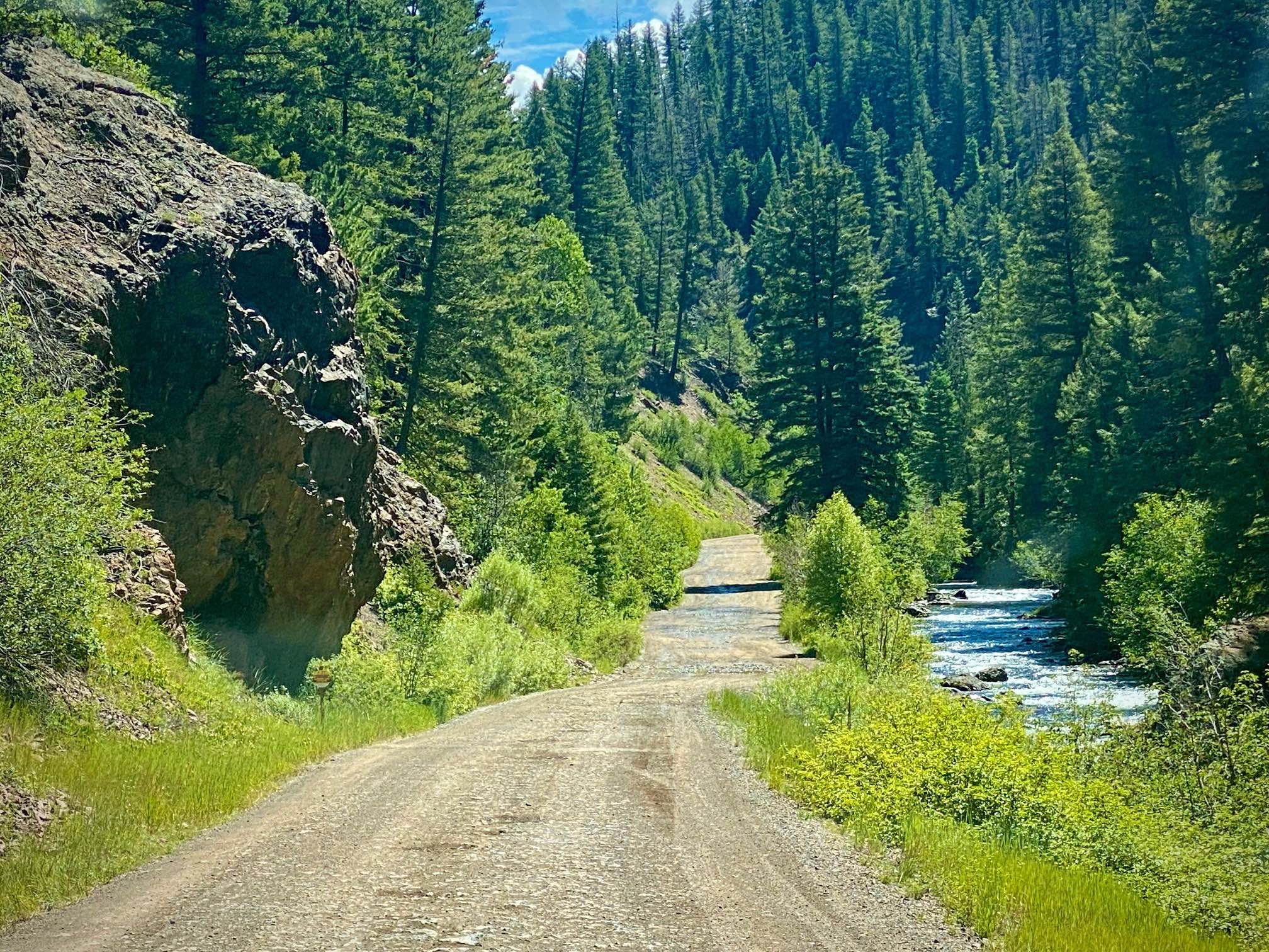
Lower Section of East Fork San Juan River Rd-Fr 667

Lower Section of East Fork San Juan River Rd-Fr 667

East Fork Road has two very different sections. This lower section is a well maintained graded road suitable for most vehicles. They recommend a higher clearance vehicle, yet compact cars were on this road as…
Learn more about Lower Section of East Fork San Juan River Rd-Fr 667
Total Miles
8.4
Tech Rating
1 Easy
Best Time
Spring, Summer, Fall
Learn more about Lower Spring Creek Trail
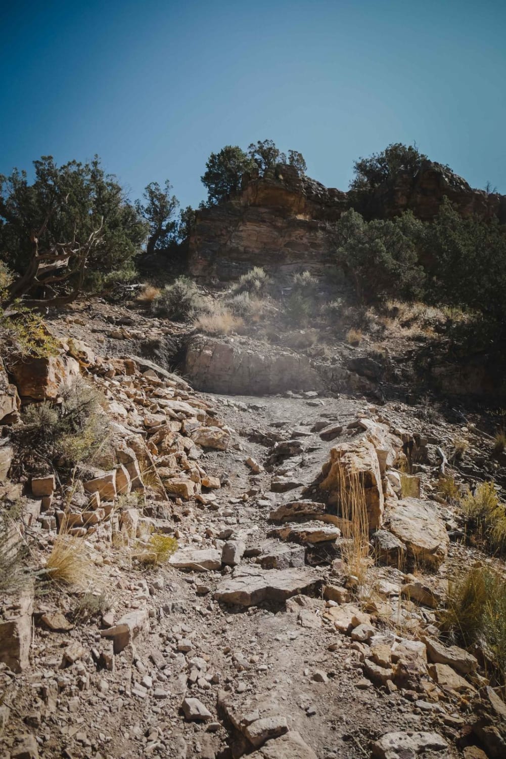
Lower Spring Creek Trail

Lower Spring Creek Trail

Lower Spring Creek is a 7-mile-long trail west of Montrose, Colorado, that starts on the south end of the Uncompahgre National Forest and heads north through BLM land. It heads straight down towards Montrose from…
Learn more about Lower Spring Creek Trail
Total Miles
7.2
Tech Rating
7 Difficult
Best Time
Summer, Fall, Spring
Learn more about Lunar Express
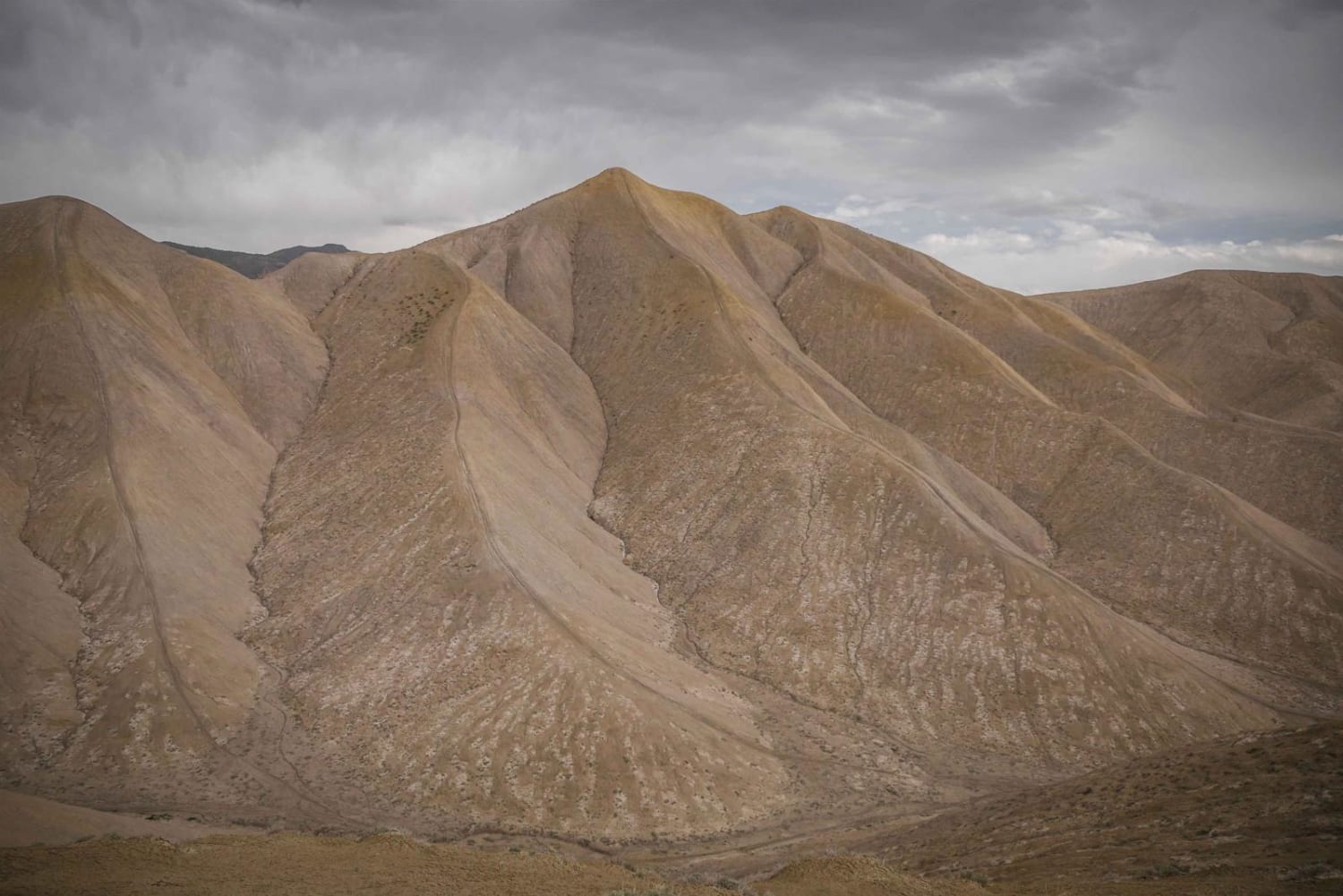
Lunar Express

Lunar Express

Lunar Express is a fun, tight, and twisty adobe trail in the Flat Top - Peach Valley Recreation Area. There are almost 100 miles of trail in this recreation area and many of the adobe…
Learn more about Lunar Express
Total Miles
2.5
Tech Rating
2 Easy
Best Time
Fall, Spring
Learn more about Lunar Ridge
Lunar Ridge

Lunar Ridge

Lunar Ridge is a narrow and steep single track through an adobe badlands landscape near Montrose, Colorado. The trail is a smooth clay surface and winds along the narrow ridge lines of the adobe hills…
Learn more about Lunar Ridge
Total Miles
1.4
Tech Rating
3 Easy
Best Time
Fall, Spring
Learn more about Lynx Pass
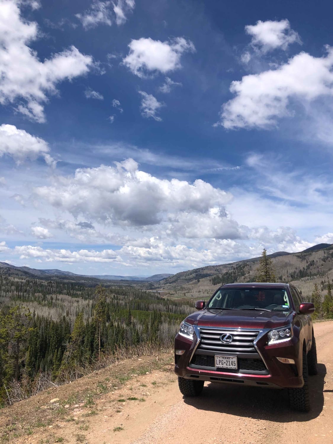
Lynx Pass

Lynx Pass

Lynx Pass (National Forest System Road (NFSR) 270) is a scenic stretch of road with an elevation range from 7,200 to 8,720 feet. The habitat varies from lodgepole pine, quaking aspen, and subalpine fir forests…
Learn more about Lynx Pass
Total Miles
12.2
Tech Rating
1 Easy
Best Time
Spring, Summer, Fall
Learn more about Mad Creek Road
Mad Creek Road

Mad Creek Road

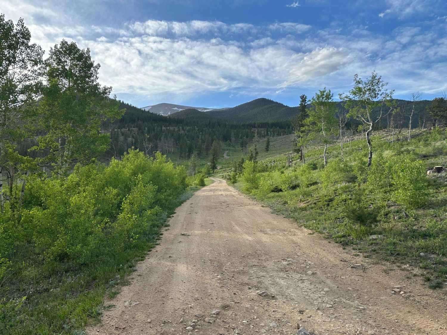
A short drive from the town of Empire and just down the road from the popular Bill Moore Lake Trail, Mad Creek is a great off-road trail that gets passed up by many off-roaders. Whether…
Learn more about Mad Creek Road
Total Miles
2.6
Tech Rating
3 Easy
Best Time
Spring, Summer, Fall
Learn more about Madden Peak Road
Madden Peak Road

Madden Peak Road

Along this out-and-back road you will have plenty of opportunities for camping specifically in the first half of the road, which is also well-maintained. The further up the mountain you go, the more uneven and…
Learn more about Madden Peak Road
Total Miles
8.2
Tech Rating
1 Easy
Best Time
Spring, Summer, Fall
Learn more about Maggie Gulch
Maggie Gulch

Maggie Gulch

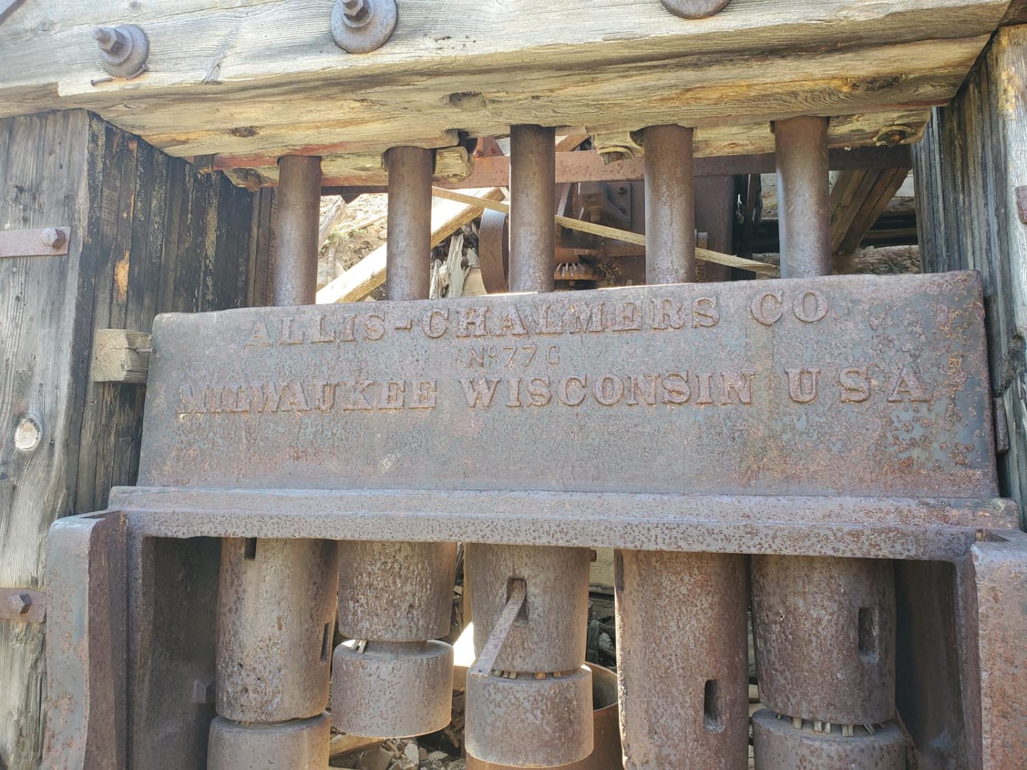
Short, easy trail that turns off from CR2 and ends at the remains of the Intersection Mill, built in the 1890s during the CO gold rush. It also connects to a network of hiking trails…
Learn more about Maggie Gulch
Total Miles
4.2
Tech Rating
3 Easy
Best Time
Spring, Summer, Fall
Learn more about Magnolia Road East
Magnolia Road East

Magnolia Road East

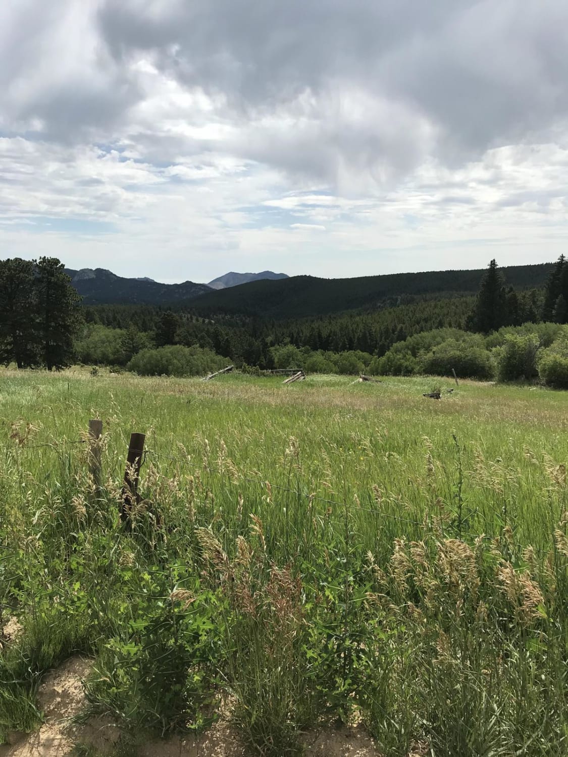
Magnolia Road East accesses the Aspen Meadows residential area but allows you to avoid the heavy traffic of Boulder Canyon. This is a smooth dirt road any vehicle can navigate, and it has beautiful scenery.…
Learn more about Magnolia Road East
Total Miles
7.0
Tech Rating
1 Easy
Best Time
Spring, Summer, Fall
Learn more about Mail Box / Massey Trail loop
Mail Box / Massey Trail loop

Mail Box / Massey Trail loop

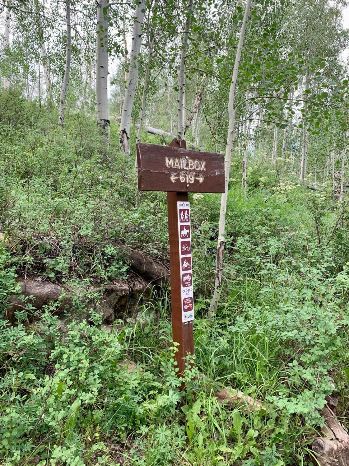
Mail Box is a 50" track that descends through Aspen glades in the Uncompahgre Plateau Wilderness. Fun and fast with several whoops. This trail is how you access Massey Trail.Massey Trail is a single-track winding…
Learn more about Mail Box / Massey Trail loop
Total Miles
8.2
Tech Rating
5 Moderate
Best Time
Spring, Summer, Fall
Learn more about Main Elk Creek
Main Elk Creek

Main Elk Creek

Road starts out traveling up the valley of Elk Creek as paved road for 6.5 miles, at that point it turns into Forest Road 603/aka Cinetop Road and is gravel road. At this point road…
Learn more about Main Elk Creek
Total Miles
18.3
Tech Rating
2 Easy
Best Time
Spring, Summer, Fall
Learn more about Marshall Pass
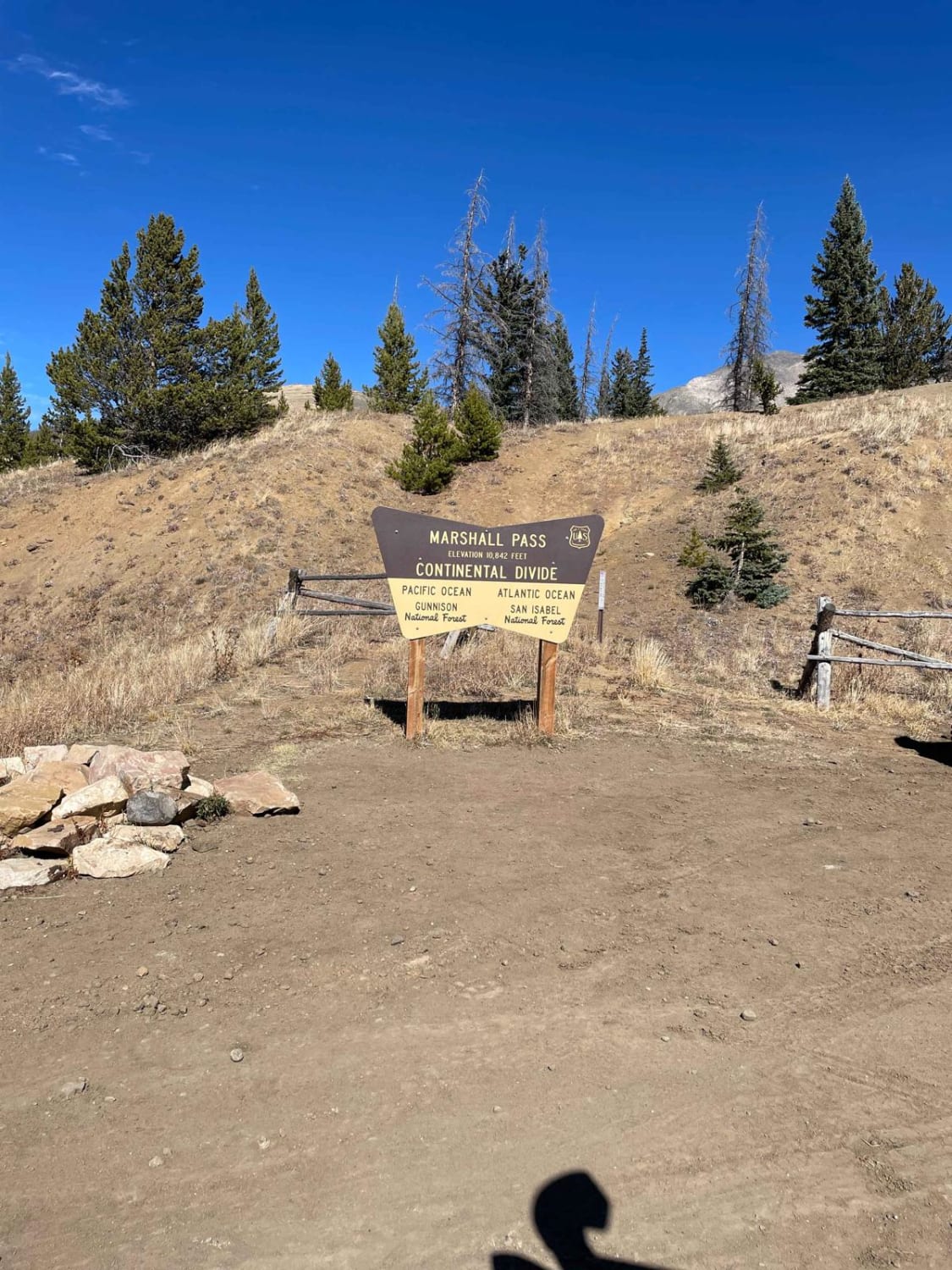
Marshall Pass

Marshall Pass

Marshall Pass is a good gravel road that can be taken by any SUV, but passenger cars should not be taken on the road. On the west side of the pass, it is rutted in…
Learn more about Marshall Pass
Total Miles
28.1
Tech Rating
1 Easy
Best Time
Spring, Summer, Fall
Learn more about Matukat Road
Matukat Road

Matukat Road

Matukat Road is a well-maintained gravel road connecting CO 77 to US 285 via Stoney Pass on the Eastern edge of the Lost Creek Wilderness and Tarryall Mountains. The vast majority of the road passes…
Learn more about Matukat Road
Total Miles
21.5
Tech Rating
1 Easy
Best Time
Summer, Fall

The onX Offroad Difference

onX Offroad combines trail photos, descriptions, difficulty ratings, width restrictions, seasonality, and more in a user-friendly interface. Available on all devices, with offline access and full compatibility with CarPlay and Android Auto. Discover what you’re missing today!