Off-Road Trails in Colorado

Discover off-road trails in Colorado

Learn more about Lunar Express
Lunar Express

Lunar Express

Lunar Express is a fun, tight, and twisty adobe trail in the Flat Top - Peach Valley Recreation Area. There are almost 100 miles of trail in this recreation area and many of the adobe…
Learn more about Lunar Express
Total Miles
2.5
Tech Rating
2 Easy
Best Time
Fall, Spring
Learn more about Lunar Ridge
Lunar Ridge

Lunar Ridge

Lunar Ridge is a narrow and steep single track through an adobe badlands landscape near Montrose, Colorado. The trail is a smooth clay surface and winds along the narrow ridge lines of the adobe hills…
Learn more about Lunar Ridge
Total Miles
1.4
Tech Rating
3 Easy
Best Time
Fall, Spring
Learn more about Lynx Pass
Lynx Pass

Lynx Pass

Lynx Pass (National Forest System Road (NFSR) 270) is a scenic stretch of road with an elevation range from 7,200 to 8,720 feet. The habitat varies from lodgepole pine, quaking aspen, and subalpine fir forests…
Learn more about Lynx Pass
Total Miles
12.2
Tech Rating
1 Easy
Best Time
Spring, Summer, Fall
Learn more about Mad Creek Road
Mad Creek Road

Mad Creek Road

A short drive from the town of Empire and just down the road from the popular Bill Moore Lake Trail, Mad Creek is a great off-road trail that gets passed up by many off-roaders. Whether…
Learn more about Mad Creek Road
Total Miles
2.6
Tech Rating
3 Easy
Best Time
Spring, Summer, Fall
Learn more about Maggie Gulch
Maggie Gulch

Maggie Gulch

Short, easy trail that turns off from CR2 and ends at the remains of the Intersection Mill, built in the 1890s during the CO gold rush. It also connects to a network of hiking trails…
Learn more about Maggie Gulch
Total Miles
4.2
Tech Rating
3 Easy
Best Time
Spring, Summer, Fall
Learn more about Magnolia Road East
Magnolia Road East

Magnolia Road East

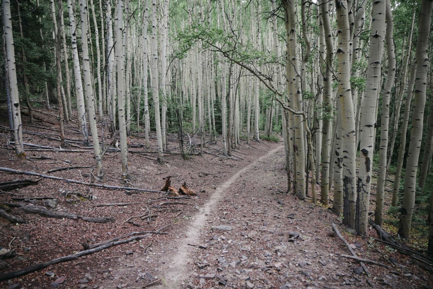
This is a smooth, dirt road any vehicle can access. The road accesses the Aspen Meadows residential area, but will allow you to avoid the heavy traffic of Boulder Canyon and has beautiful scenery. This…
Learn more about Magnolia Road East
Total Miles
7.0
Tech Rating
1 Easy
Best Time
Spring, Summer, Fall
Learn more about Mail Box / Massey Trail loop
Mail Box / Massey Trail loop

Mail Box / Massey Trail loop

Mail Box is a 50" track that descends through Aspen glades in the Uncompahgre Plateau Wilderness. Fun and fast with several whoops. This trail is how you access Massey Trail.Massey Trail is a single-track winding…
Learn more about Mail Box / Massey Trail loop
Total Miles
8.2
Tech Rating
5 Moderate
Best Time
Spring, Summer, Fall
Learn more about Marshall Pass
Marshall Pass

Marshall Pass

Marshall Pass is a good gravel road that can be taken by any SUV, but passenger cars should not be taken on the road. On the west side of the pass, it is rutted in…
Learn more about Marshall Pass
Total Miles
28.1
Tech Rating
1 Easy
Best Time
Spring, Summer, Fall
Learn more about McAllister Gulch
McAllister Gulch

McAllister Gulch

This is a fun climb through the mountains, starting at Camp Hale. Climb to the top of Resolution Mountain with incredible views of Mt. Holy Cross. Then, descend Shrine Pass Road by way of Wearyman…
Learn more about McAllister Gulch
Total Miles
12.1
Tech Rating
5 Moderate
Best Time
Summer, Fall
Learn more about McManus Road-Fr Rd 633
McManus Road-Fr Rd 633

McManus Road-Fr Rd 633

McManus road connects into and runs east from Piedra road. Plumtaw road connects into it and can make for a pleasant drive back to Pagosa Springs. When you arrive at the fork stay left for…
Learn more about McManus Road-Fr Rd 633
Total Miles
6.6
Tech Rating
2 Easy
Best Time
Spring, Summer, Fall
Learn more about Meadow Creek Reservoir CR 84
Meadow Creek Reservoir CR 84

Meadow Creek Reservoir CR 84

CR 84 begins just east of Highway 40 and is the primary access to Meadow Creek Reservoir. This route follows Meadow Creek, which provides ample dispersed camping opportunities. The reservoir is a popular summer beach…
Learn more about Meadow Creek Reservoir CR 84
Total Miles
4.9
Tech Rating
2 Easy
Best Time
Spring, Summer, Fall
Learn more about Meadow Creek Reservoir CR 848
Meadow Creek Reservoir CR 848

Meadow Creek Reservoir CR 848

The primary access to Meadow Creek Reservoir starts on County Road 84. This route takes a more off-road and scenic drive to start, meeting up with CR 84 about 2/3 of the way up to…
Learn more about Meadow Creek Reservoir CR 848
Total Miles
12.7
Tech Rating
2 Easy
Best Time
Summer, Fall
Learn more about Medano Pass
Medano Pass

Medano Pass

Great campsites are available along this beautiful trail, as well as the Pinon Flats Campground. There are phenomenal seasonal colors to be seen, especially in the fall. You'll need to pay a fee when entering…
Learn more about Medano Pass
Total Miles
20.0
Tech Rating
4 Moderate
Best Time
Summer, Fall
Learn more about Medano's Back Door
Medano's Back Door

Medano's Back Door

This is a well-maintained graded dirt road. It will be passable for any road-worthy vehicle in good weather conditions. If poor weather does occur, it could be trouble for road cars. A 4x4 with clearance…
Learn more about Medano's Back Door
Total Miles
18.0
Tech Rating
1 Easy
Best Time
Spring, Summer, Fall, Winter
Learn more about Mesa County Road 25
Mesa County Road 25

Mesa County Road 25

A good resource for dispersed camping in the Grand Junction Area. There is a vast network of offshoots and alternate routes in this BLM area. Monitoring weather conditions prior to arrival is recommended. Use previously…
Learn more about Mesa County Road 25
Total Miles
6.9
Tech Rating
3 Easy
Best Time
Fall, Summer, Spring
Learn more about Mesa County Road 27 1/4
Mesa County Road 27 1/4

Mesa County Road 27 1/4

A great route for OHV and dispersed camping access in the Grand Junction area. Mostly loose gravel, though the later portion of the trail gets slightly more demanding with larger rocks, ruts, and washes. The…
Learn more about Mesa County Road 27 1/4
Total Miles
4.8
Tech Rating
3 Easy
Best Time
Spring, Fall, Summer
Learn more about Metberry Gulch (FS 205)
Metberry Gulch (FS 205)

Metberry Gulch (FS 205)

Metberry Gulch (Forest Service Road 205) is a scenic, 9-mile out-and-back trail consisting of mixed rocky and dry soil terrain. It's a popular local offroad destination and is one of the three trails in the…
Learn more about Metberry Gulch (FS 205)
Total Miles
4.5
Tech Rating
5 Moderate
Best Time
Spring, Summer, Fall
Learn more about Metcalf Creek Road
Metcalf Creek Road

Metcalf Creek Road

The road begins near Vail, north of I-70. It starts out steep and eventually connects to the Red White Trail. There are some very narrow areas, so consider the width of your vehicle before you…
Learn more about Metcalf Creek Road
Total Miles
3.2
Tech Rating
5 Moderate
Best Time
Summer, Fall
Learn more about Michigan Creek Road
Michigan Creek Road

Michigan Creek Road

Michigan Creek is the Park County side, or south side of Georgia Pass in Pike National Forest. It is an alternative to access Breckenridge vs. Boreas Pass, although it is street legal only as well.…
Learn more about Michigan Creek Road
Total Miles
7.1
Tech Rating
2 Easy
Best Time
Summer
Learn more about Michigan Hill
Michigan Hill

Michigan Hill

The Michigan Hill trail starts from the pickle gulch campground. This trail is a relatively easy trail for most off-road vehicles, although there are some narrow points on the trail. This trail winds through mining…
Learn more about Michigan Hill
Total Miles
5.8
Tech Rating
3 Easy
Best Time
Spring, Summer, Fall

Go Farther

Try onX Offroad Elite for free for a week — no strings attached. Get access to thousands of off-road dirt trails and snowmobile trails across the nation. View your favorite zones in 3D. Send trails to friends. Start planning the trip of a lifetime now.