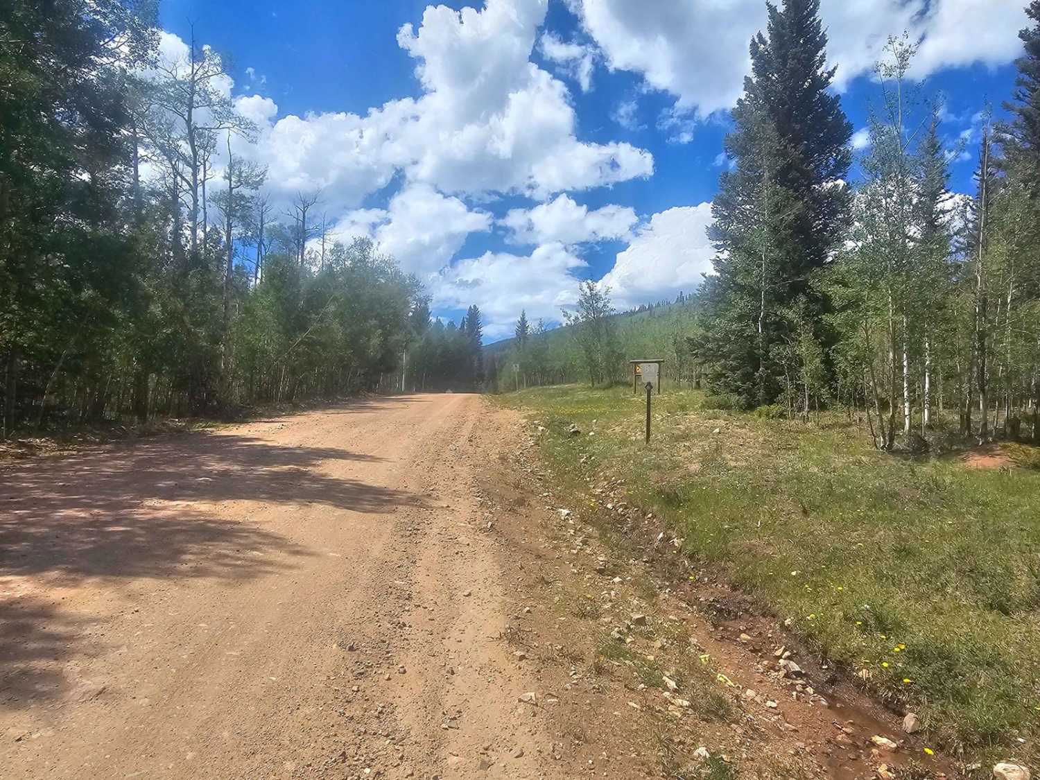
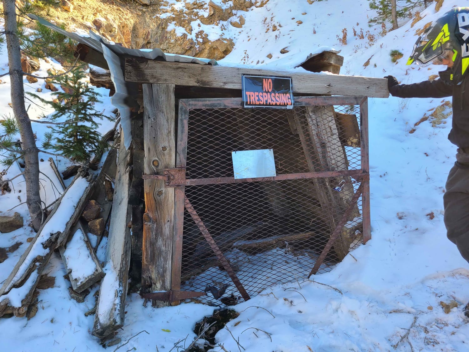
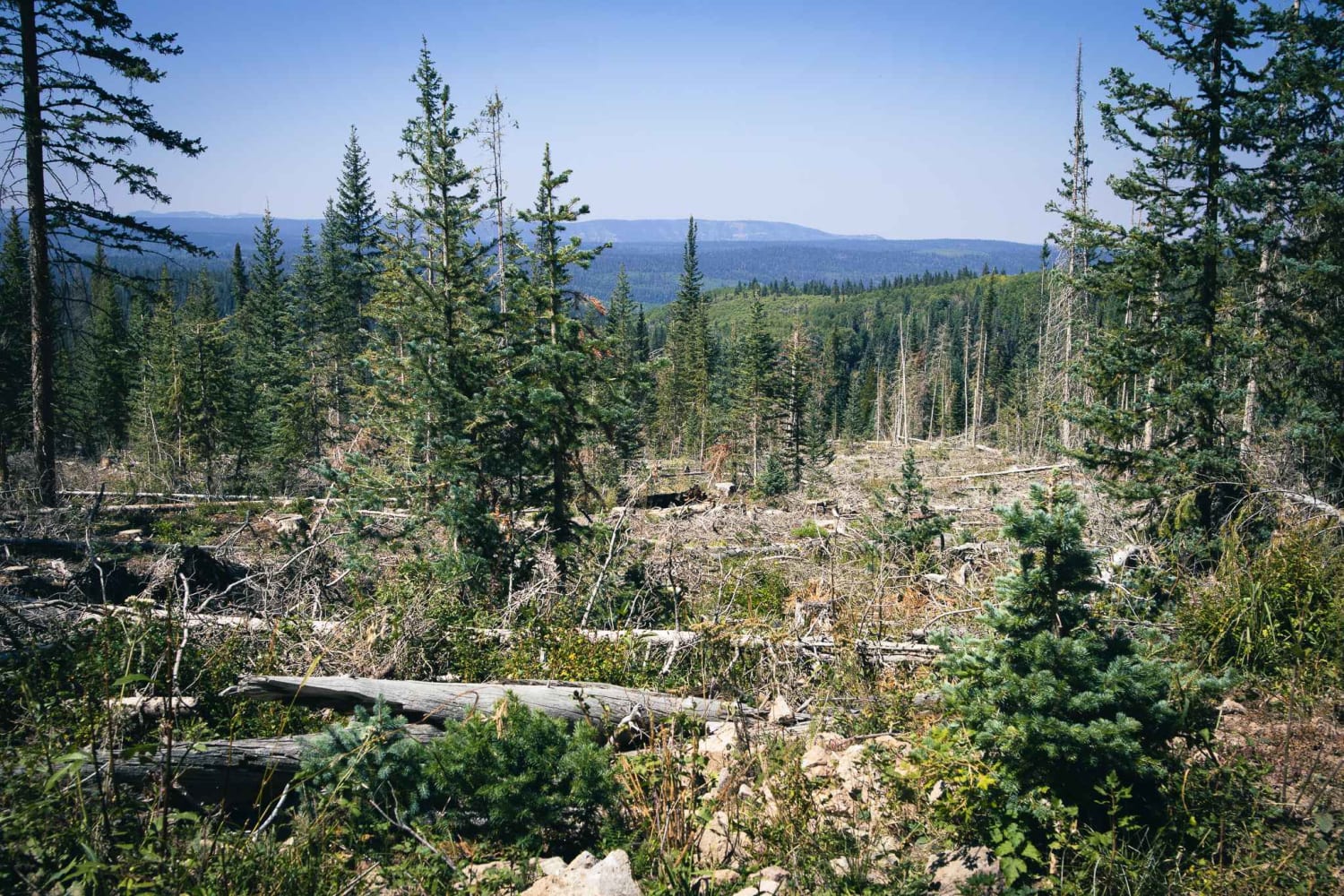
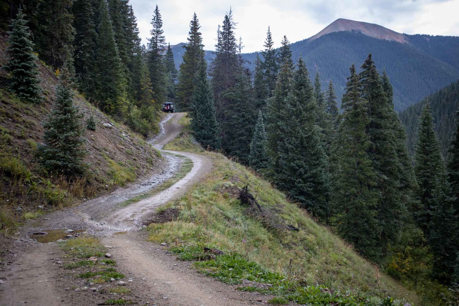
Off-Road Trails in Colorado
Discover off-road trails in Colorado
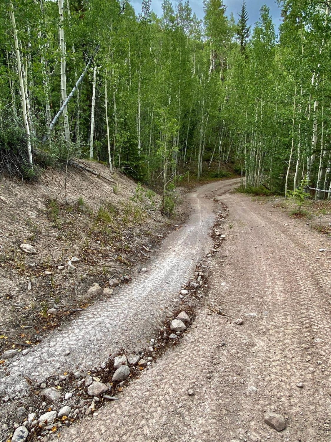
Learn more about Maverick
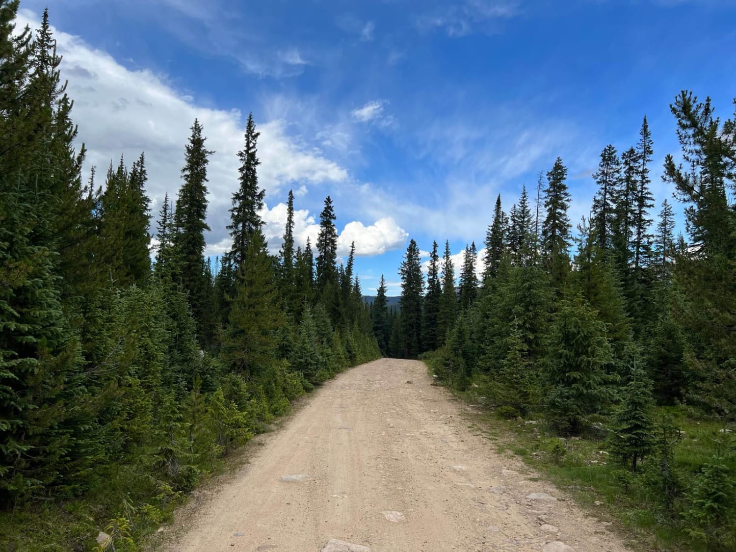
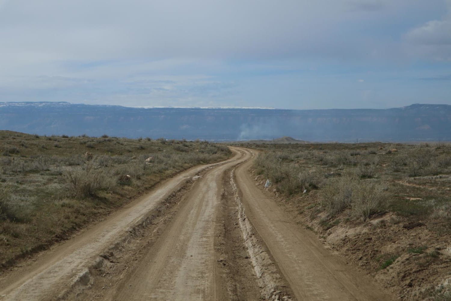
Maverick
Total Miles
1.6
Tech Rating
Easy
Best Time
Spring, Summer, Fall, Winter
Learn more about McAllister Gulch
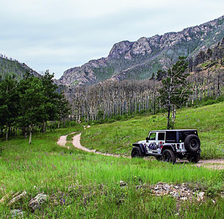
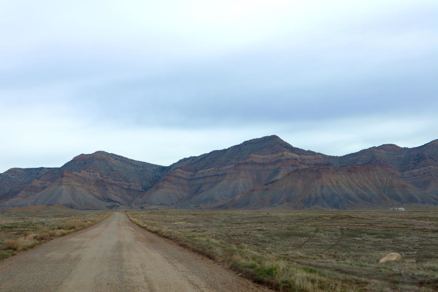
McAllister Gulch
Total Miles
12.1
Tech Rating
Moderate
Best Time
Summer, Fall
Learn more about McManus Road-Fr Rd 633
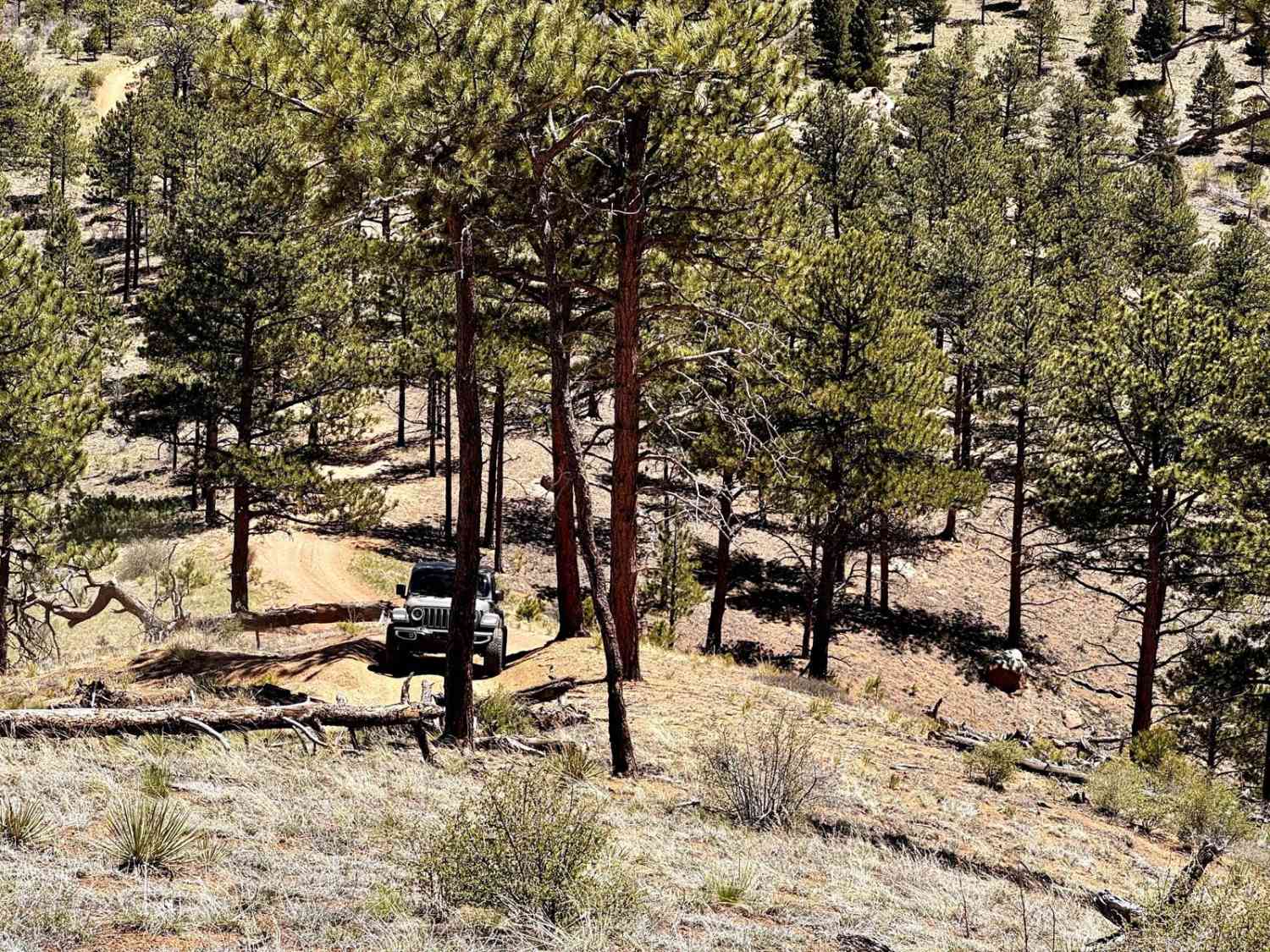
McManus Road-Fr Rd 633
Total Miles
6.6
Tech Rating
Easy
Best Time
Spring, Summer, Fall
Learn more about Meadow Creek Reservoir CR 84
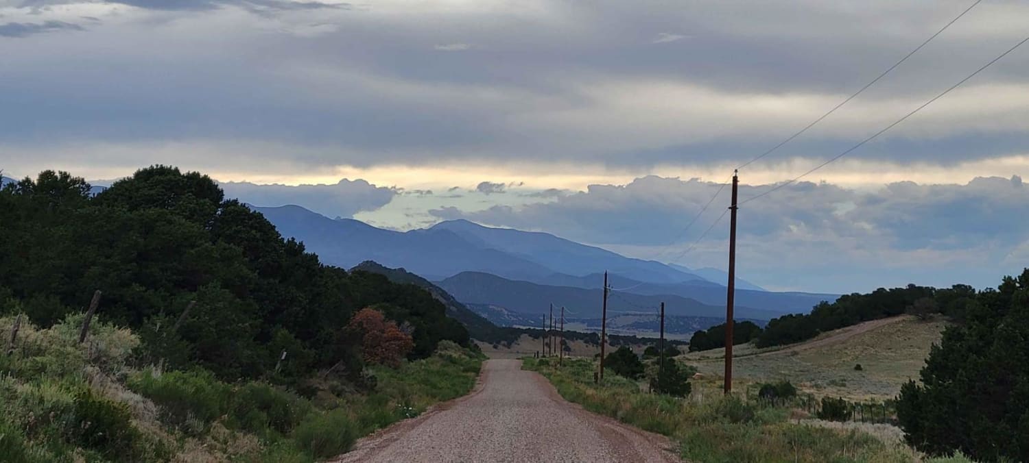
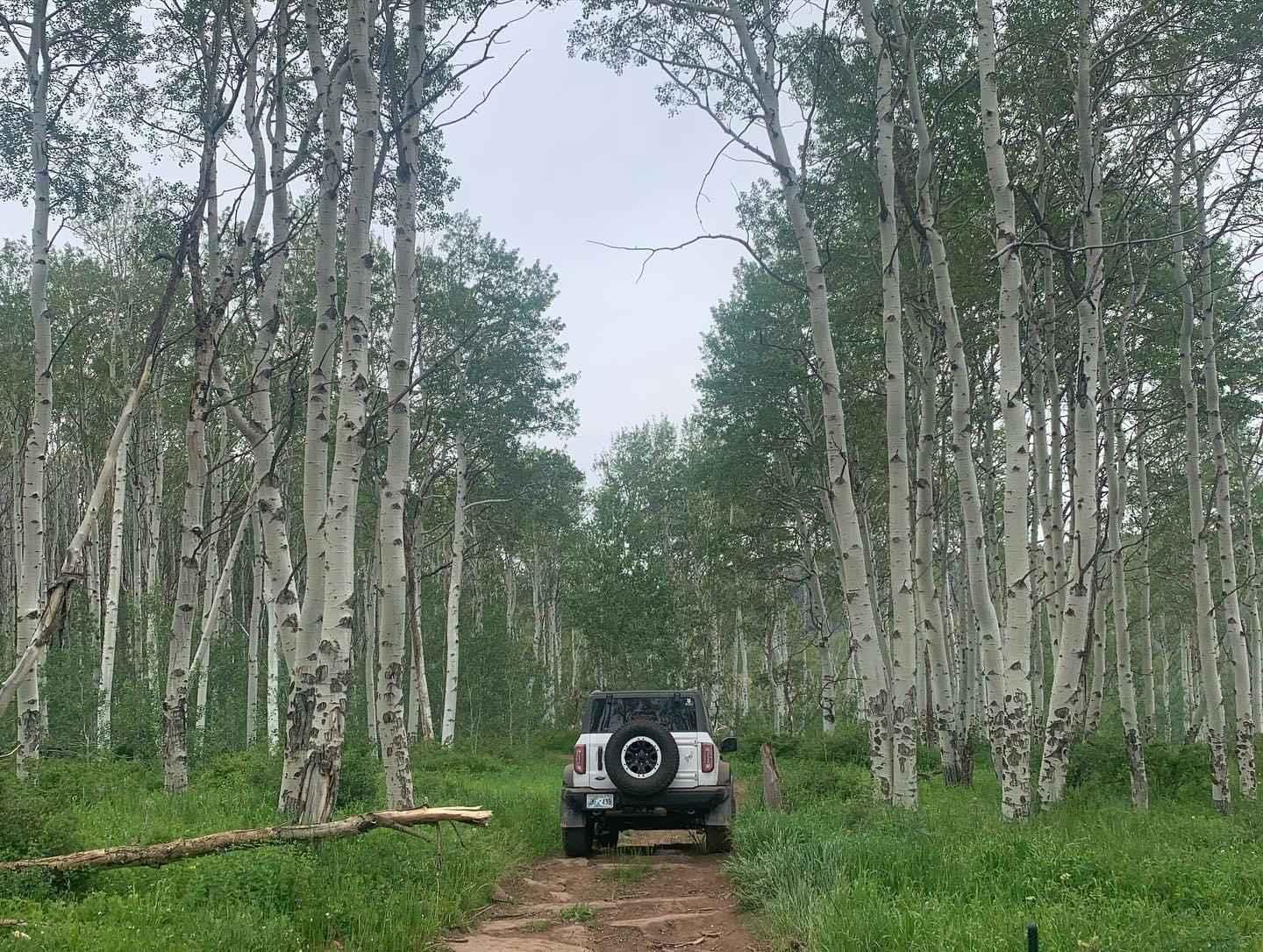
Meadow Creek Reservoir CR 84
Total Miles
4.9
Tech Rating
Easy
Best Time
Spring, Summer, Fall
Learn more about Meadow Creek Reservoir CR 848
Meadow Creek Reservoir CR 848
Total Miles
12.7
Tech Rating
Easy
Best Time
Summer, Fall
Learn more about Meadow Divide Road- FSR 325

Meadow Divide Road- FSR 325
Total Miles
10.2
Tech Rating
Easy
Best Time
Spring, Summer, Fall
Learn more about Medano Pass
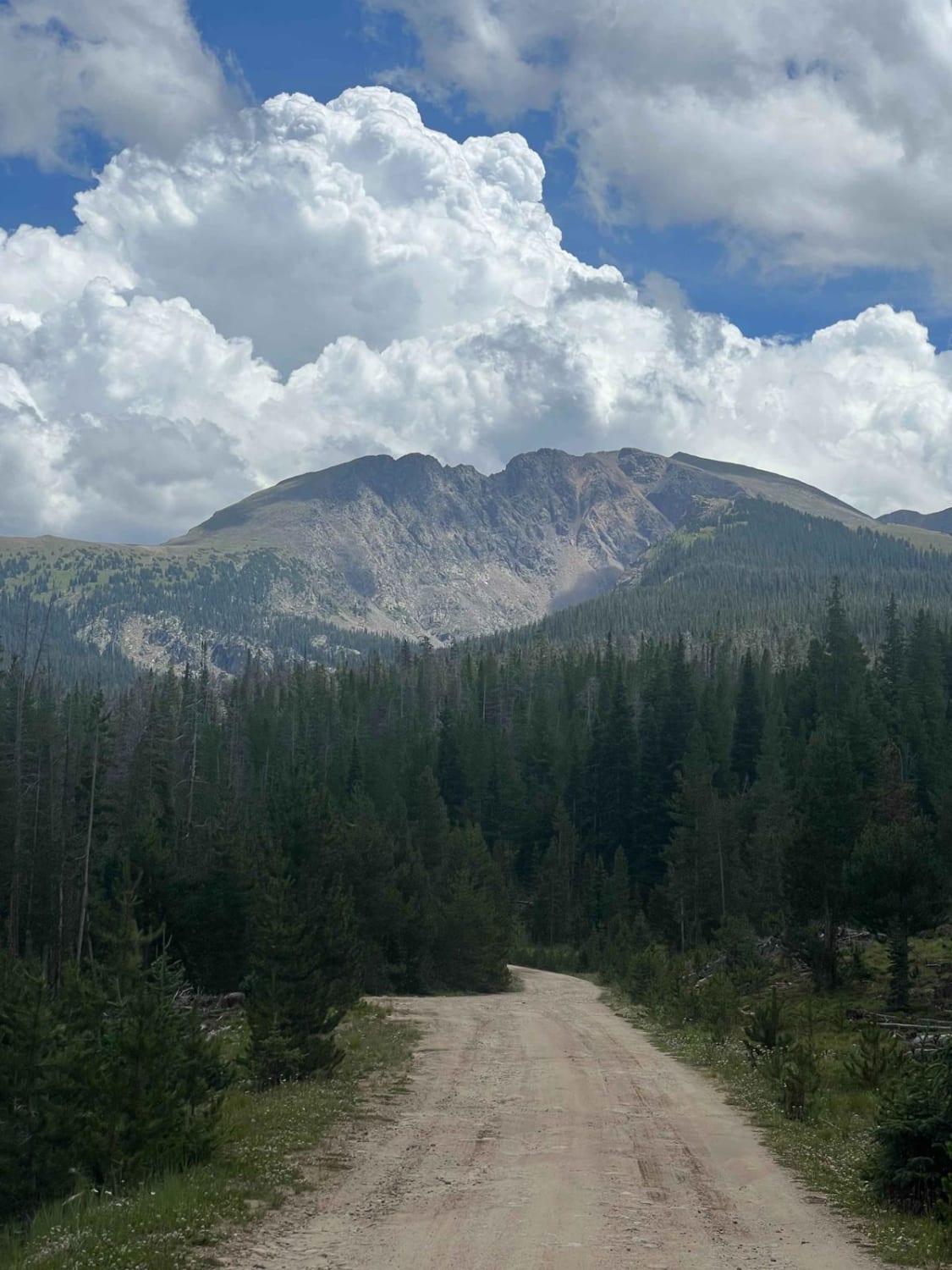
Medano Pass
Total Miles
20.0
Tech Rating
Moderate
Best Time
Summer, Fall
Learn more about Medano's Back Door
Medano's Back Door
Total Miles
18.0
Tech Rating
Easy
Best Time
Spring, Summer, Fall, Winter
Learn more about Mesa County Road 25
Mesa County Road 25
Total Miles
6.9
Tech Rating
Easy
Best Time
Fall, Summer, Spring
Learn more about Mesa County Road 27 1/4
Mesa County Road 27 1/4
Total Miles
4.8
Tech Rating
Easy
Best Time
Spring, Fall, Summer
Learn more about Metberry Gulch (FS 205)
Metberry Gulch (FS 205)
Total Miles
4.5
Tech Rating
Moderate
Best Time
Spring, Summer, Fall
Learn more about Metcalf Creek Road
Metcalf Creek Road
Total Miles
3.2
Tech Rating
Moderate
Best Time
Summer, Fall
Learn more about Michigan Creek Road
Michigan Creek Road
Total Miles
9.2
Tech Rating
Easy
Best Time
Summer
Learn more about Michigan Hill
Michigan Hill
Total Miles
5.8
Tech Rating
Easy
Best Time
Spring, Summer, Fall
Learn more about Middle Barrett ATV Trail

Middle Barrett ATV Trail
Total Miles
0.9
Tech Rating
Moderate
Best Time
Summer, Fall
Learn more about Middle Barrett Creek

Middle Barrett Creek
Total Miles
3.1
Tech Rating
Moderate
Best Time
Summer, Fall
Learn more about Middle Blue Creek
Middle Blue Creek
Total Miles
2.2
Tech Rating
Easy
Best Time
Summer, Fall
Learn more about Middle Fork Mineral Creek
Middle Fork Mineral Creek
Total Miles
0.4
Tech Rating
Easy
Best Time
Summer, Fall
Learn more about Middle Rat Creek Road - NF 504-1B
Middle Rat Creek Road - NF 504-1B
Total Miles
4.1
Tech Rating
Difficult
Best Time
Spring, Summer, Fall
The onX Offroad Difference
onX Offroad combines trail photos, descriptions, difficulty ratings, width restrictions, seasonality, and more in a user-friendly interface. Available on all devices, with offline access and full compatibility with CarPlay and Android Auto. Discover what you’re missing today!