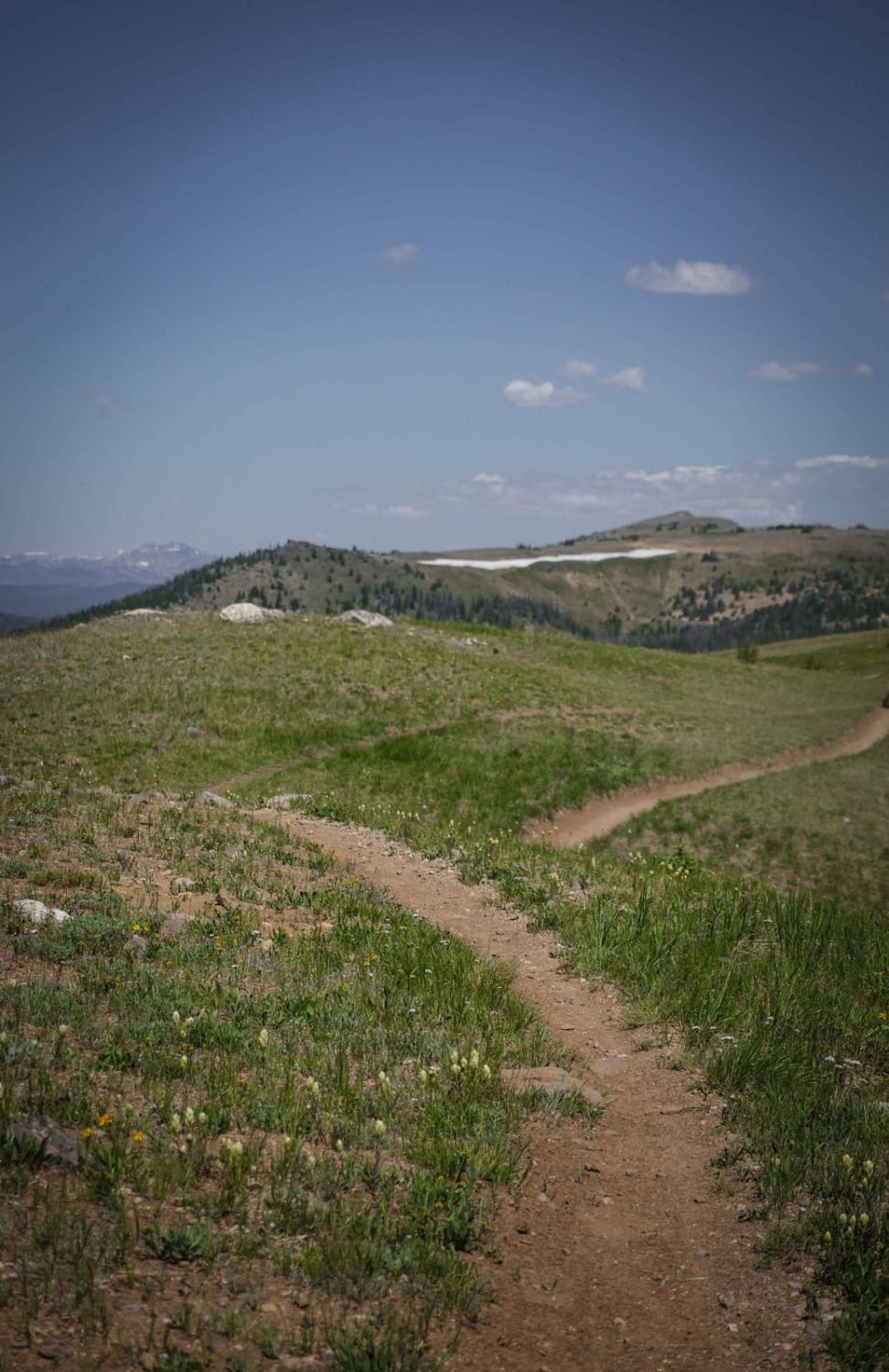
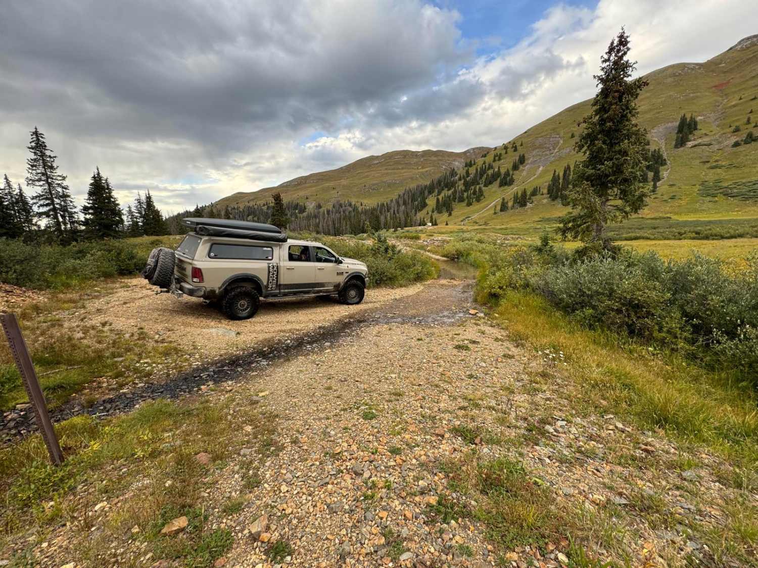
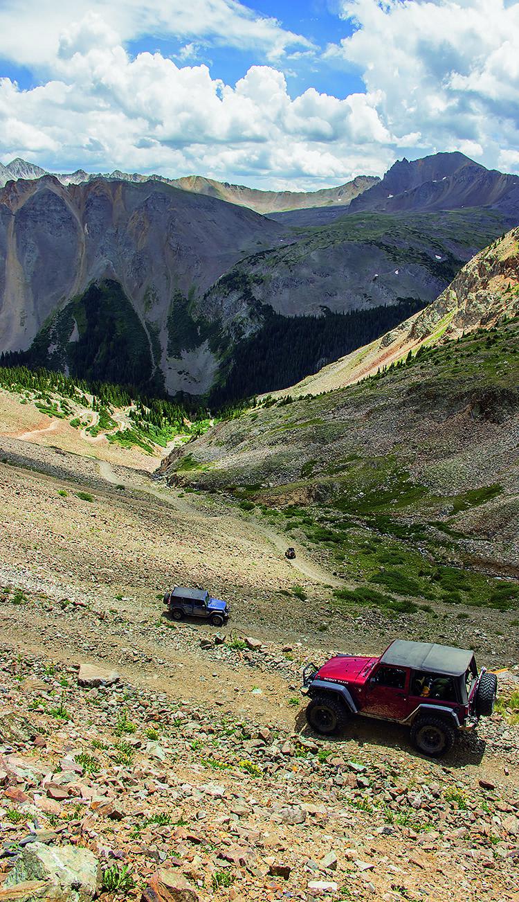
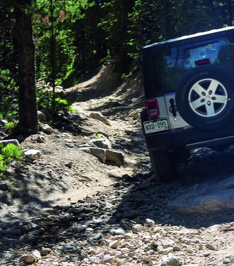
Off-Road Trails in Colorado
Discover off-road trails in Colorado
Learn more about Middle Razor
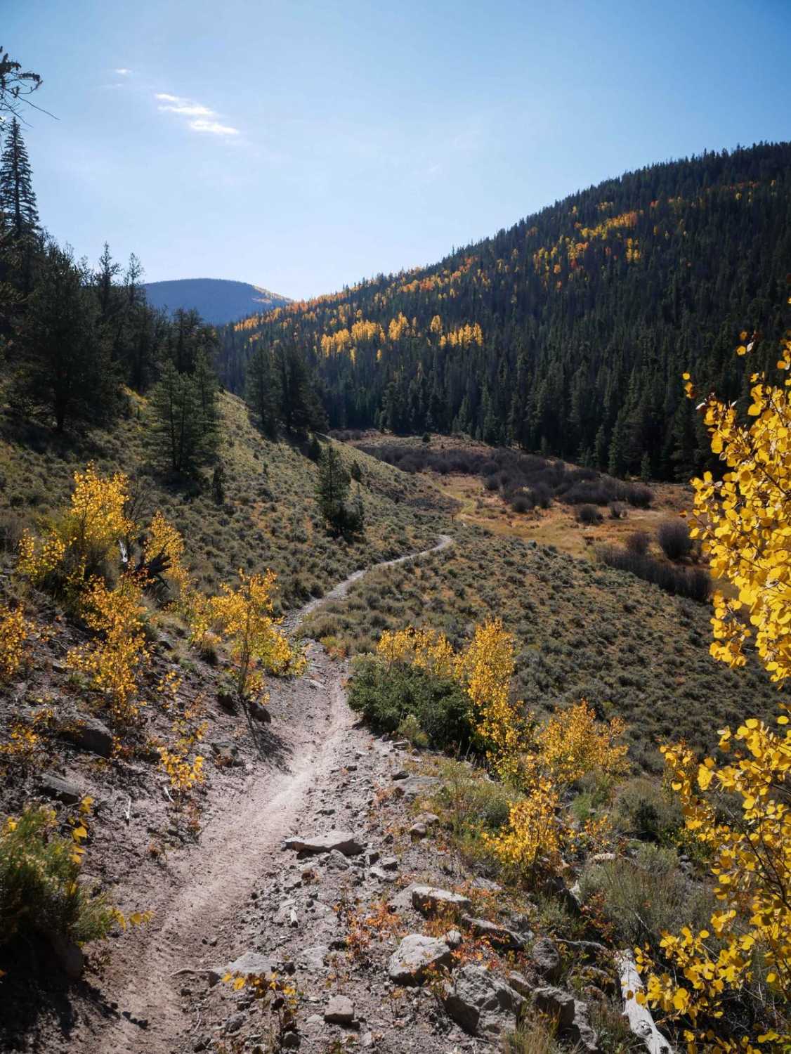
Middle Razor
Total Miles
2.5
Tech Rating
Moderate
Best Time
Summer, Fall
Learn more about Middle St. Vrain, Coney Flats
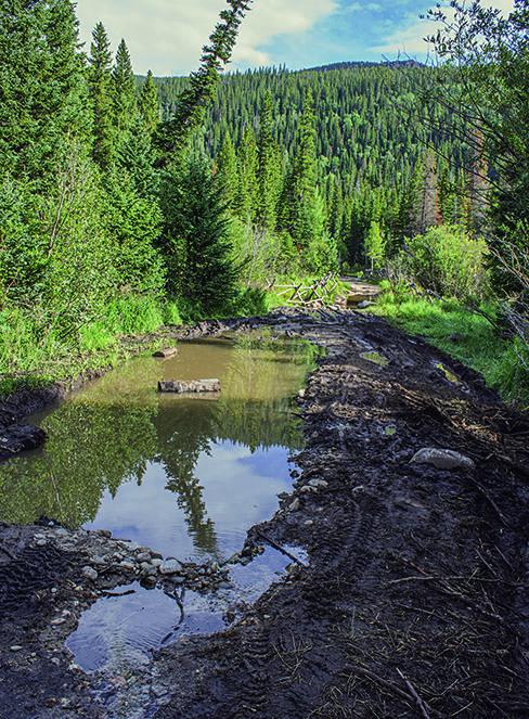
Middle St. Vrain, Coney Flats
Total Miles
11.0
Tech Rating
Difficult
Best Time
Summer, Fall
Learn more about Milepost One Trail
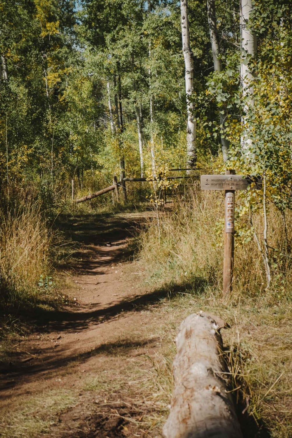
Milepost One Trail
Total Miles
1.6
Tech Rating
Easy
Best Time
Summer, Fall
Learn more about Mill Creek Road
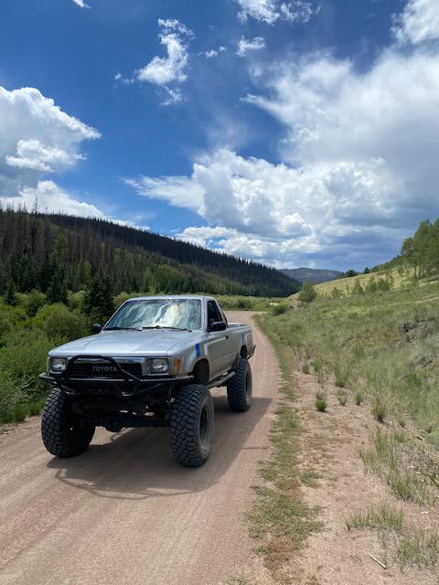
Mill Creek Road
Total Miles
15.1
Tech Rating
Easy
Best Time
Spring, Summer, Fall
Learn more about Miller Creek Loop
Miller Creek Loop
Total Miles
17.2
Tech Rating
Moderate
Best Time
Summer, Fall
Learn more about Millwood Road
Millwood Road
Total Miles
11.3
Tech Rating
Easy
Best Time
Spring, Summer, Fall
Learn more about Mineral Creek
Mineral Creek
Total Miles
7.0
Tech Rating
Difficult
Best Time
Summer, Fall
Learn more about Miners Creek Road
Miners Creek Road
Total Miles
1.7
Tech Rating
Easy
Best Time
Spring, Summer, Fall
Learn more about Miners Creek Trail
Miners Creek Trail
Total Miles
9.1
Tech Rating
Difficult
Best Time
Summer
Learn more about Minnie Gulch
Minnie Gulch
Total Miles
2.9
Tech Rating
Easy
Best Time
Spring, Summer, Fall
Learn more about Missionary Ridge Road

Missionary Ridge Road
Total Miles
24.5
Tech Rating
Easy
Best Time
Summer
Learn more about Missouri Gulch - FR 347
Missouri Gulch - FR 347
Total Miles
4.0
Tech Rating
Easy
Best Time
Spring, Summer, Fall, Winter
Learn more about Monarch Crest
Monarch Crest
Total Miles
7.5
Tech Rating
Moderate
Best Time
Fall, Summer
Learn more about Montana Mine
Montana Mine
Total Miles
0.2
Tech Rating
Moderate
Best Time
Summer, Fall
Learn more about Montezuma Basin
Montezuma Basin
Total Miles
5.2
Tech Rating
Difficult
Best Time
Summer, Fall
Learn more about Montgomery Pass
Montgomery Pass
Total Miles
9.5
Tech Rating
Moderate
Best Time
Summer, Fall
Learn more about Monument Rocks
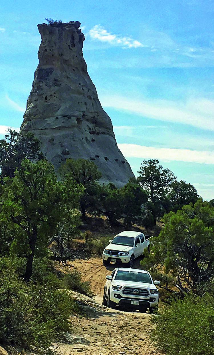
Monument Rocks
Total Miles
27.1
Tech Rating
Easy
Best Time
Spring, Fall
Learn more about Moon & Gamble Gulches
Moon & Gamble Gulches
Total Miles
7.2
Tech Rating
Moderate
Best Time
Summer, Fall
The onX Offroad Difference
onX Offroad combines trail photos, descriptions, difficulty ratings, width restrictions, seasonality, and more in a user-friendly interface. Available on all devices, with offline access and full compatibility with CarPlay and Android Auto. Discover what you’re missing today!