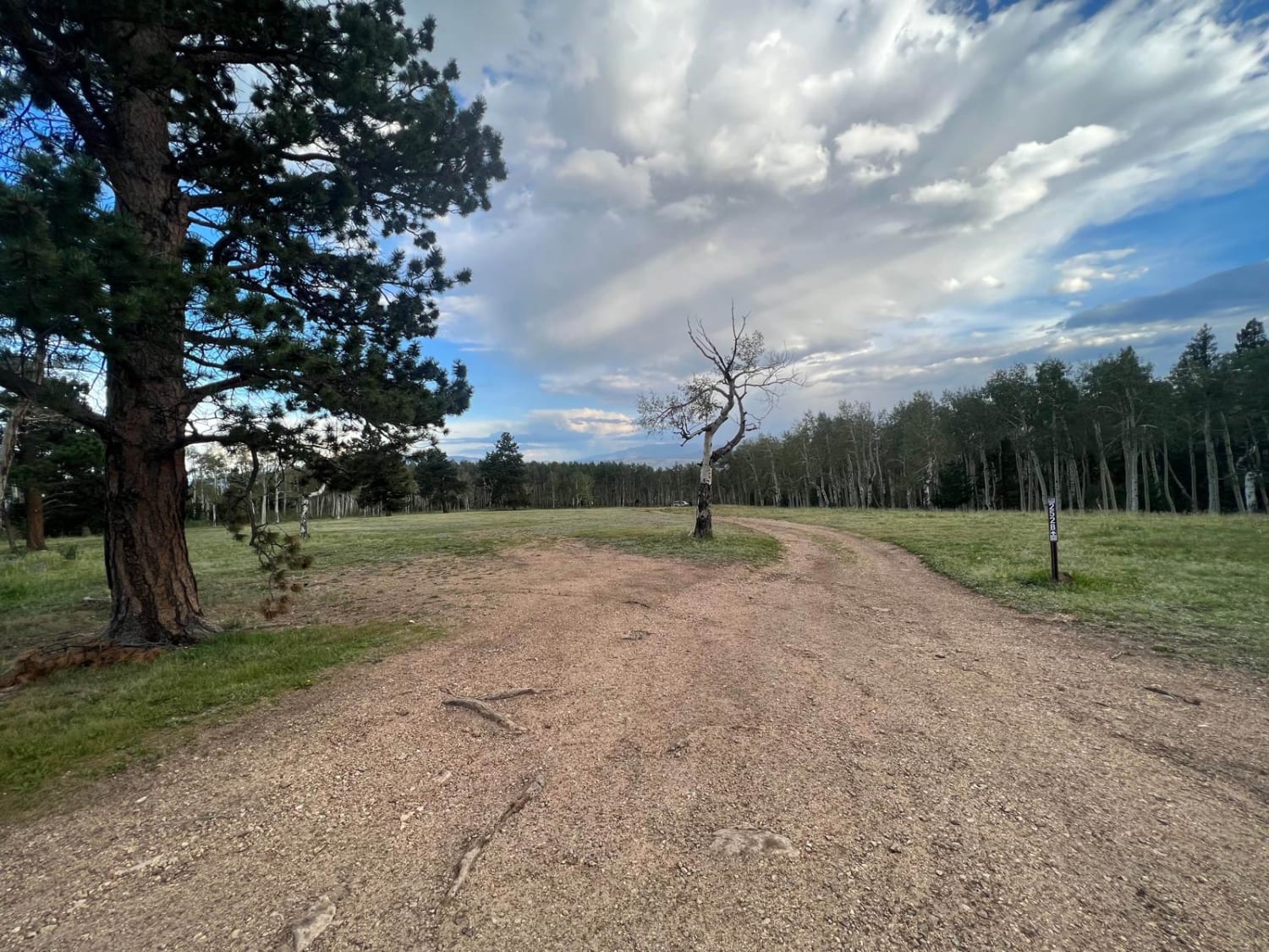
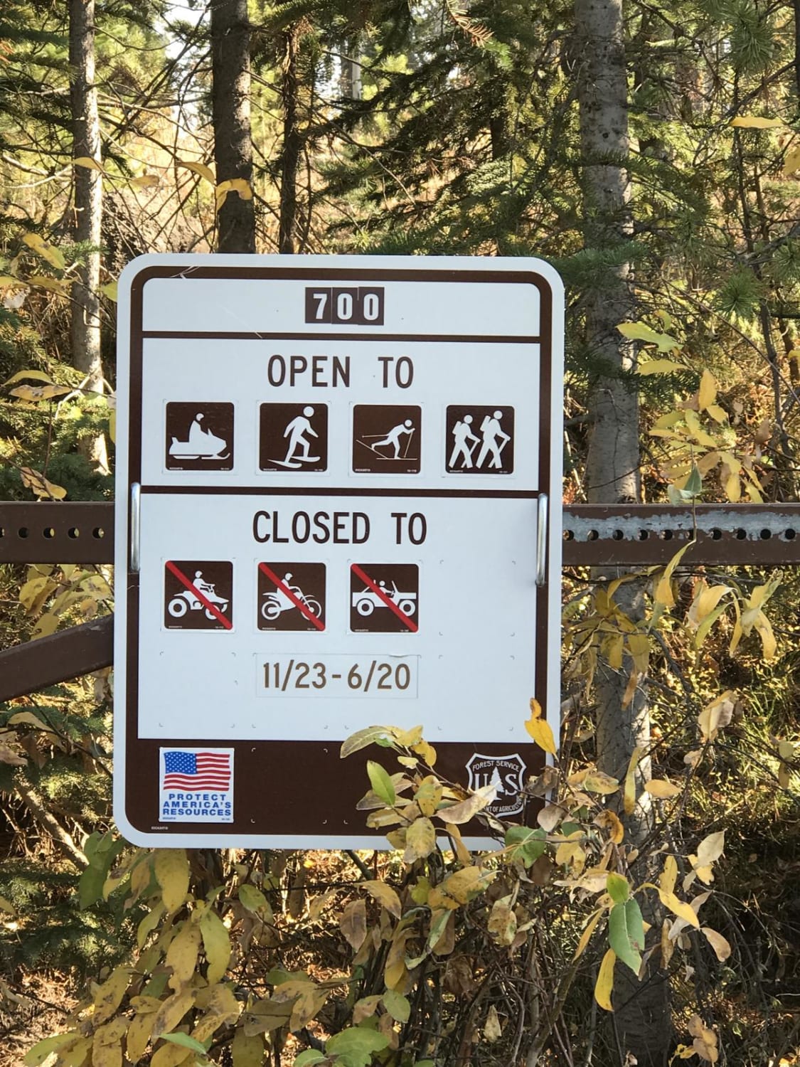
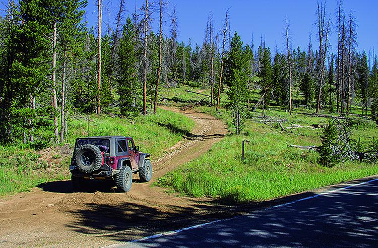
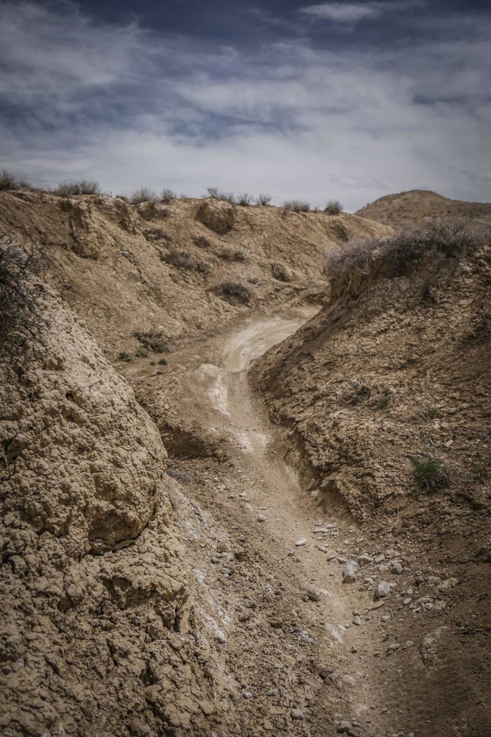
Off-Road Trails in Colorado
Discover off-road trails in Colorado
Learn more about Moonlight Mesa
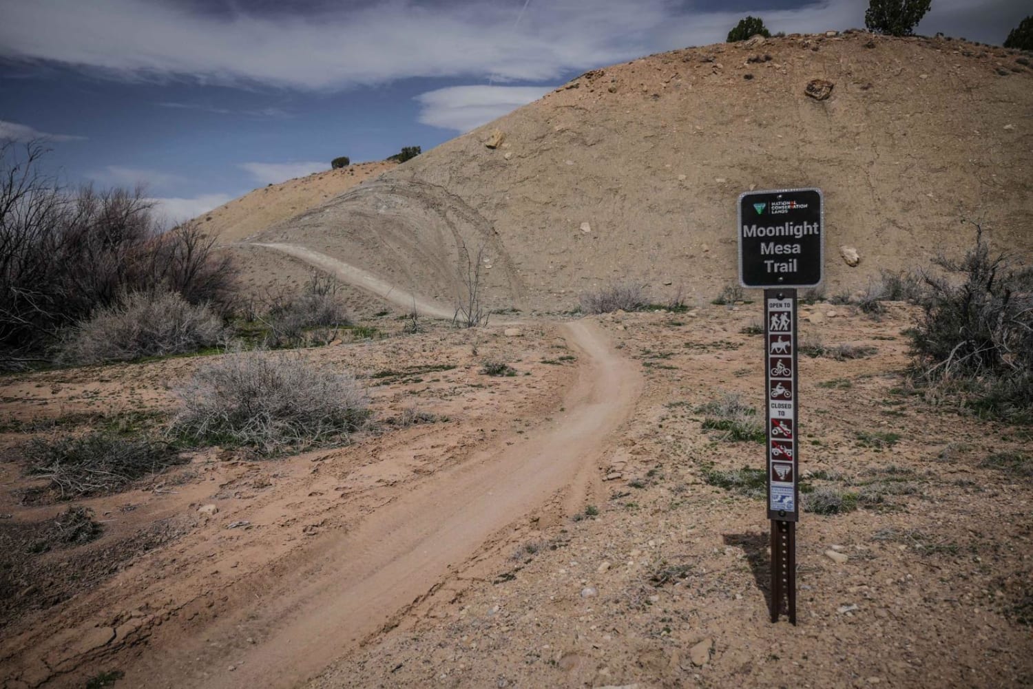
Moonlight Mesa
Total Miles
5.0
Tech Rating
Easy
Best Time
Fall, Spring
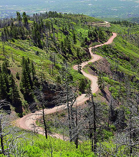
Learn more about Morrison Trail (Part 1)
Morrison Trail (Part 1)
Total Miles
4.1
Tech Rating
Moderate
Best Time
Summer
Learn more about Morrison Trail (Part 2)
Morrison Trail (Part 2)
Total Miles
1.2
Tech Rating
Easy
Best Time
Summer
Learn more about Mosquito Pass
Mosquito Pass
Total Miles
10.7
Tech Rating
Moderate
Best Time
Summer, Fall
Learn more about Mount Rosa Road - FS 381
Mount Rosa Road - FS 381
Total Miles
3.6
Tech Rating
Moderate
Best Time
Spring, Summer, Fall
Learn more about Mount Tilton Spur
Mount Tilton Spur
Total Miles
0.3
Tech Rating
Moderate
Best Time
Fall, Summer
Learn more about Mt. Herman & Rampart Range Roads
Mt. Herman & Rampart Range Roads
Total Miles
35.2
Tech Rating
Easy
Best Time
Summer, Fall
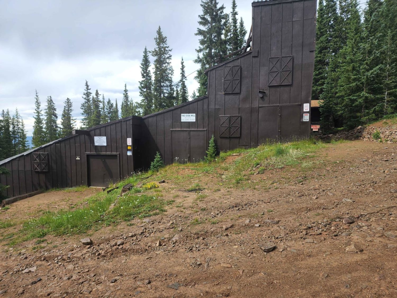
Learn more about Mt. Lincoln Road
Mt. Lincoln Road
Total Miles
3.3
Tech Rating
Moderate
Best Time
Summer, Fall
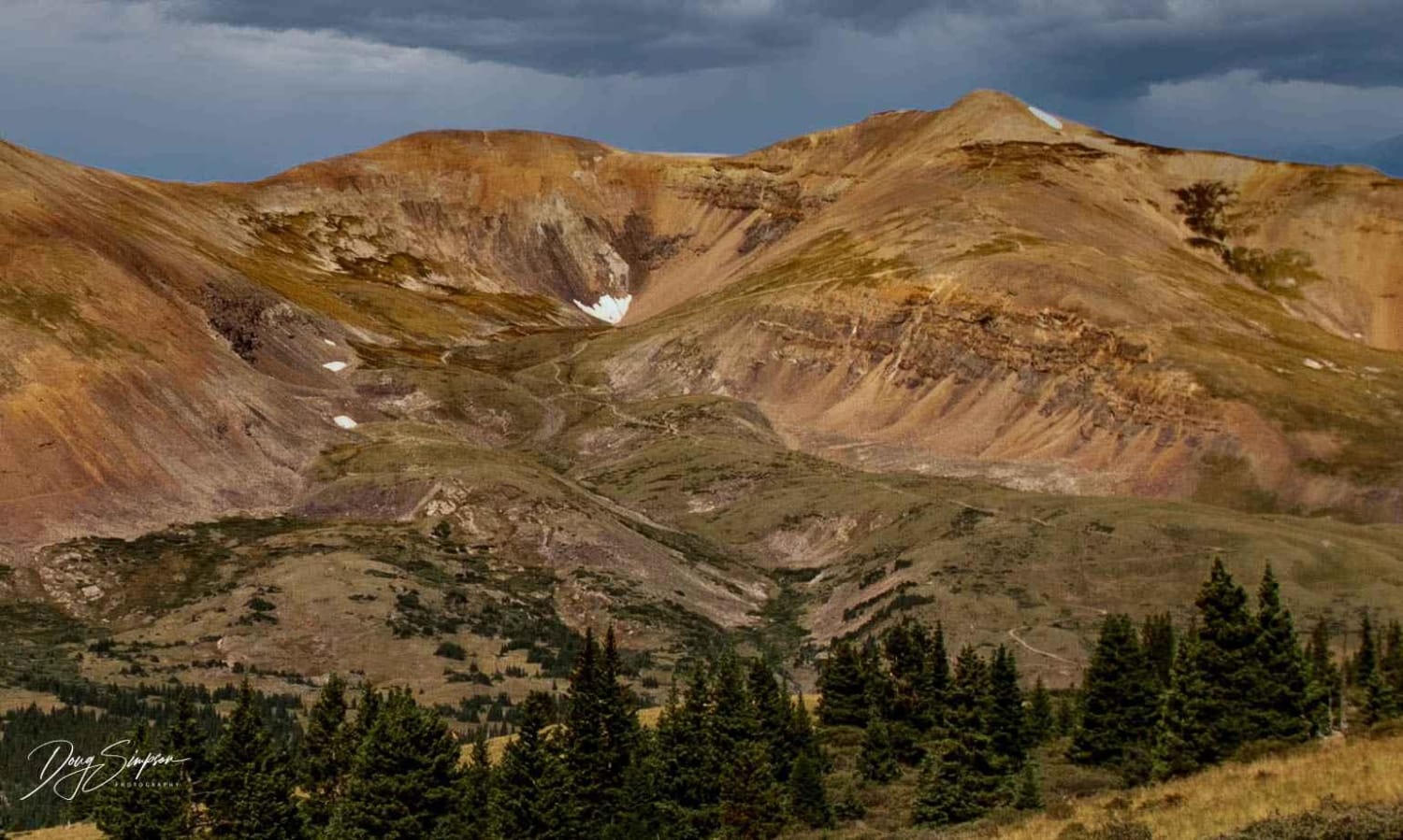
Learn more about Mt. Princeton
Mt. Princeton
Total Miles
5.4
Tech Rating
Moderate
Best Time
Summer, Fall
Learn more about Mt. Shavano
Mt. Shavano
Total Miles
6.3
Tech Rating
Easy
Best Time
Spring, Summer, Fall
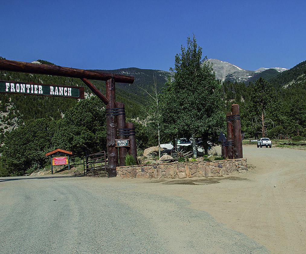
Learn more about Muddy Pass & Piney Guard Station
Muddy Pass & Piney Guard Station
Total Miles
38.5
Tech Rating
Easy
Best Time
Spring, Summer, Fall
Learn more about Mulstay Creek
Mulstay Creek
Total Miles
4.0
Tech Rating
Moderate
Best Time
Summer, Fall
Learn more about Mumford Gulch Trail

Mumford Gulch Trail
Total Miles
4.8
Tech Rating
Easy
Best Time
Summer, Fall
Learn more about Mystery Ditch
Mystery Ditch
Total Miles
0.7
Tech Rating
Easy
Best Time
Fall, Spring
Learn more about N Clear Creek Road
N Clear Creek Road
Total Miles
3.2
Tech Rating
Moderate
Best Time
Summer
Learn more about Napoleon Pass
Napoleon Pass
Total Miles
6.2
Tech Rating
Difficult
Best Time
Summer, Fall
Learn more about Narrow Gauge Ditch Part 1
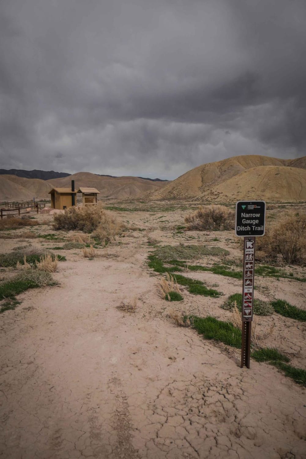
Narrow Gauge Ditch Part 1
Total Miles
1.6
Tech Rating
Moderate
Best Time
Fall, Spring
The onX Offroad Difference
onX Offroad combines trail photos, descriptions, difficulty ratings, width restrictions, seasonality, and more in a user-friendly interface. Available on all devices, with offline access and full compatibility with CarPlay and Android Auto. Discover what you’re missing today!