Off-Road Trails in Minnesota

Discover off-road trails in Minnesota

Learn more about Emily/Outing ATV Trail B (Crow Wing County)
Emily/Outing ATV Trail B (Crow Wing County)

Emily/Outing ATV Trail B (Crow Wing County)

Emily/Outing ATV Trail B (Crow Wing Cnty) is mapped from the Crow Wing County line to the Bloomquist Dr. ATV parking lot in Emily. This section is 7.4 miles long and takes about 45 minutes…
Learn more about Emily/Outing ATV Trail B (Crow Wing County)
Total Miles
5.0
Tech Rating
1 Easy
Best Time
Spring, Summer, Fall
Learn more about Finn Lake Loop
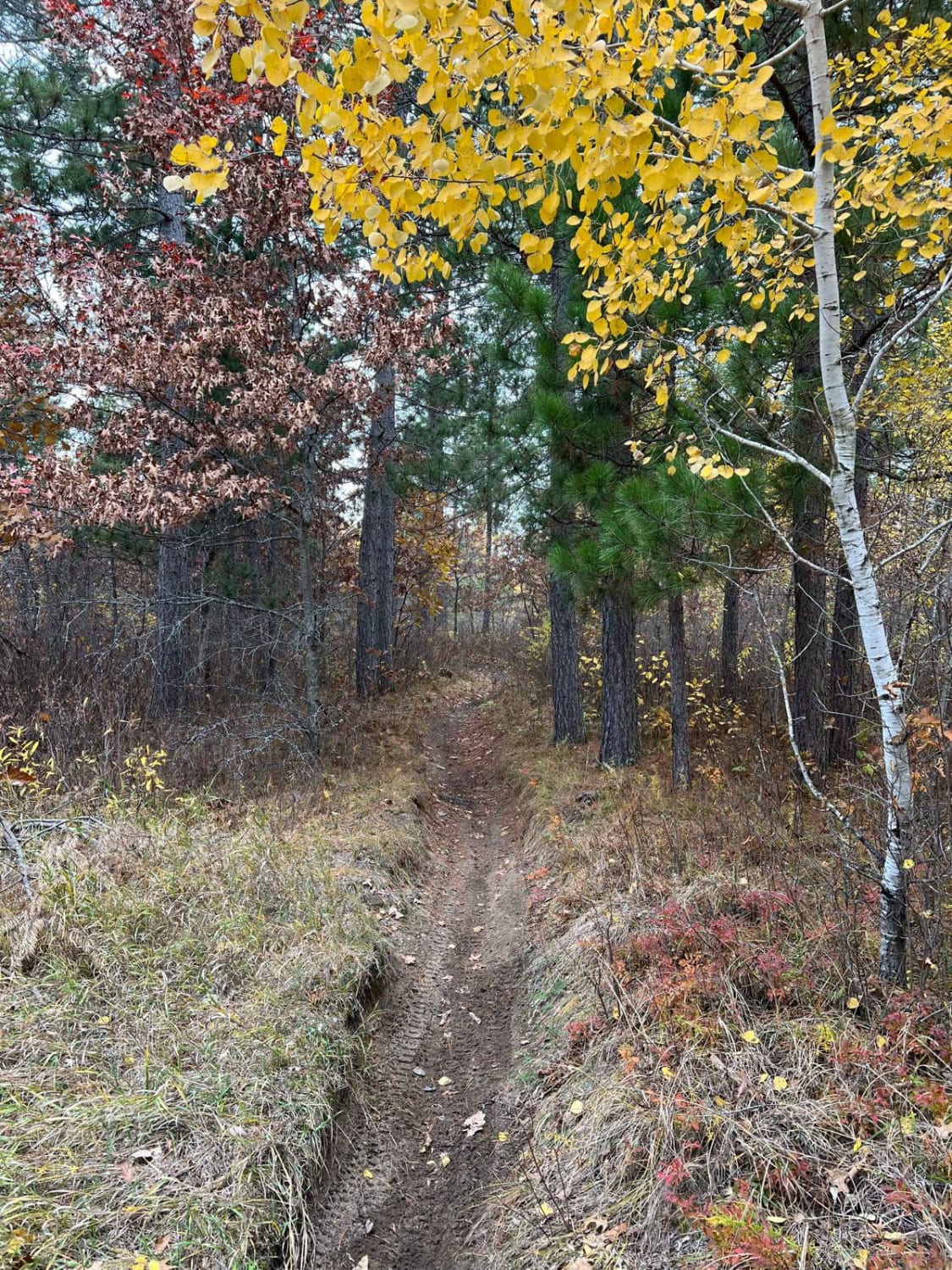
Finn Lake Loop

Finn Lake Loop

This trail parallels a pretty lake toward the western section of the Huntersville trail system. The trail has some small hills and whoops, as well as some sharper, windy sections that appear to be rutted/wet…
Learn more about Finn Lake Loop
Total Miles
0.0
Tech Rating
3 Easy
Best Time
Spring, Summer, Fall
Learn more about Foot Hills North Lake Loop
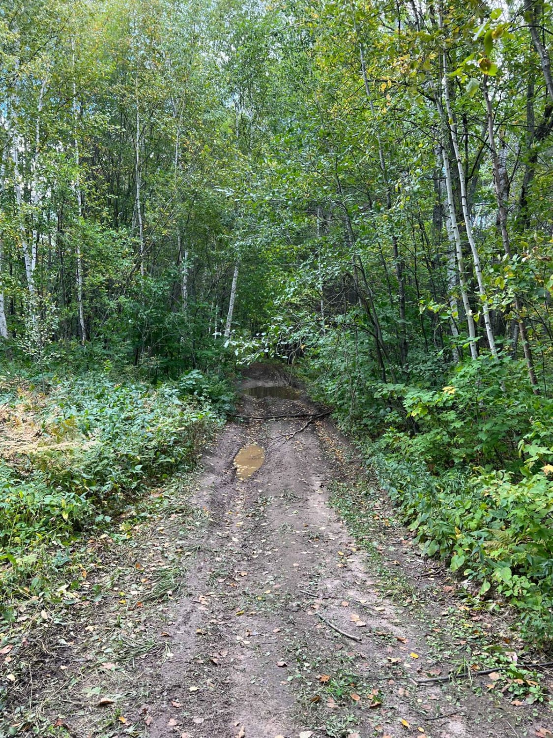
Foot Hills North Lake Loop

Foot Hills North Lake Loop

This is a narrower tame trail with views of many small lakes. This trail is not overgrown but feels natural. It's not overrun and feels like a backwoods trail. There are not any large obstacles…
Learn more about Foot Hills North Lake Loop
Total Miles
1.0
Tech Rating
3 Easy
Best Time
Spring, Summer, Fall, Winter
Learn more about Gandy Dancer Trail
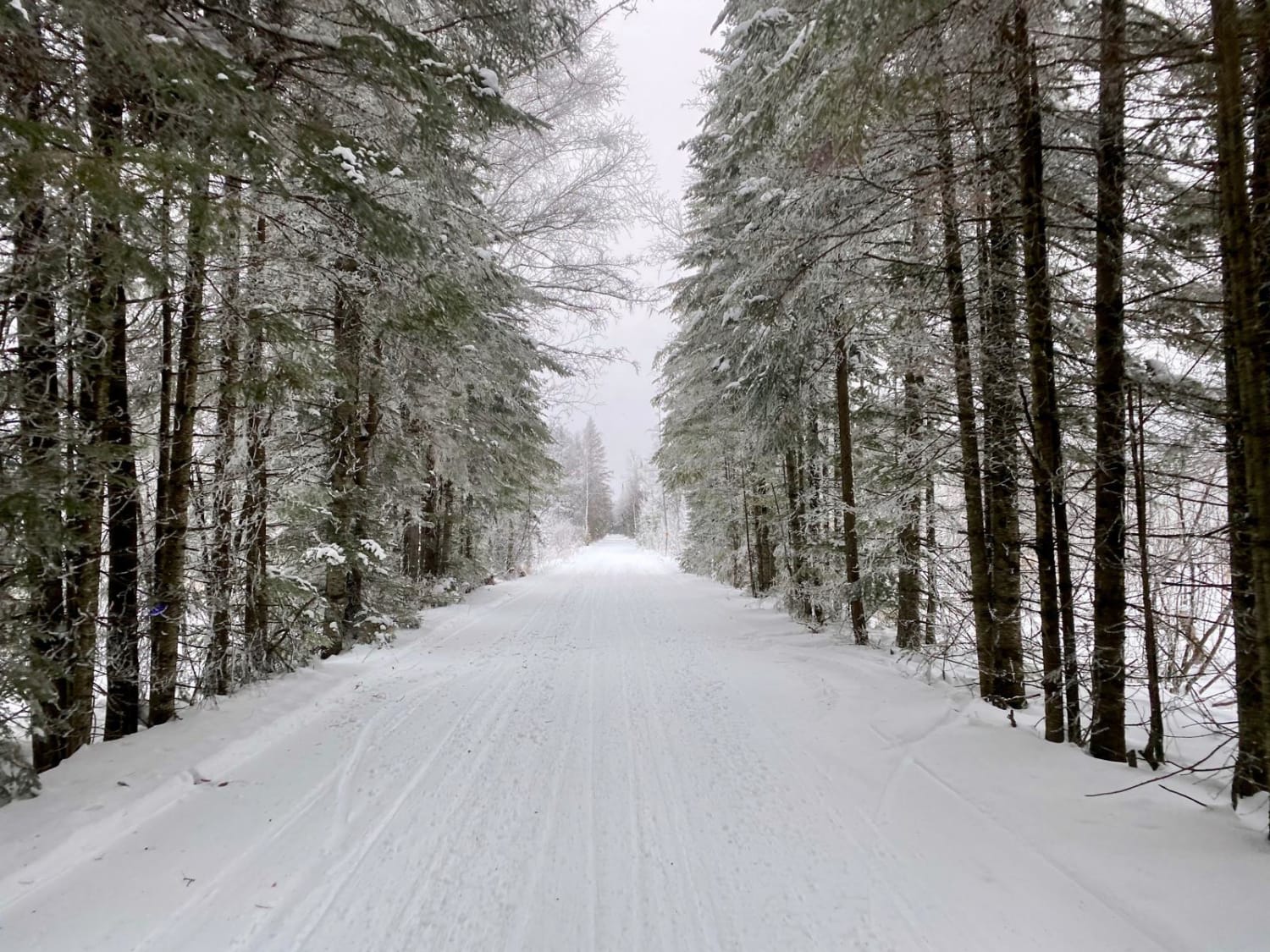
Gandy Dancer Trail

Gandy Dancer Trail

The Minnesota portion of the Gandy Dancer trail is an easy 30-mile ride. The trail is open year-round to ATV/UTV/ORV and bikes. In winter, the trail is groomed and shared with snowmobiles. The trail connects…
Learn more about Gandy Dancer Trail
Total Miles
30.4
Tech Rating
2 Easy
Best Time
Spring, Summer, Fall, Winter
Learn more about Genola to Hillman
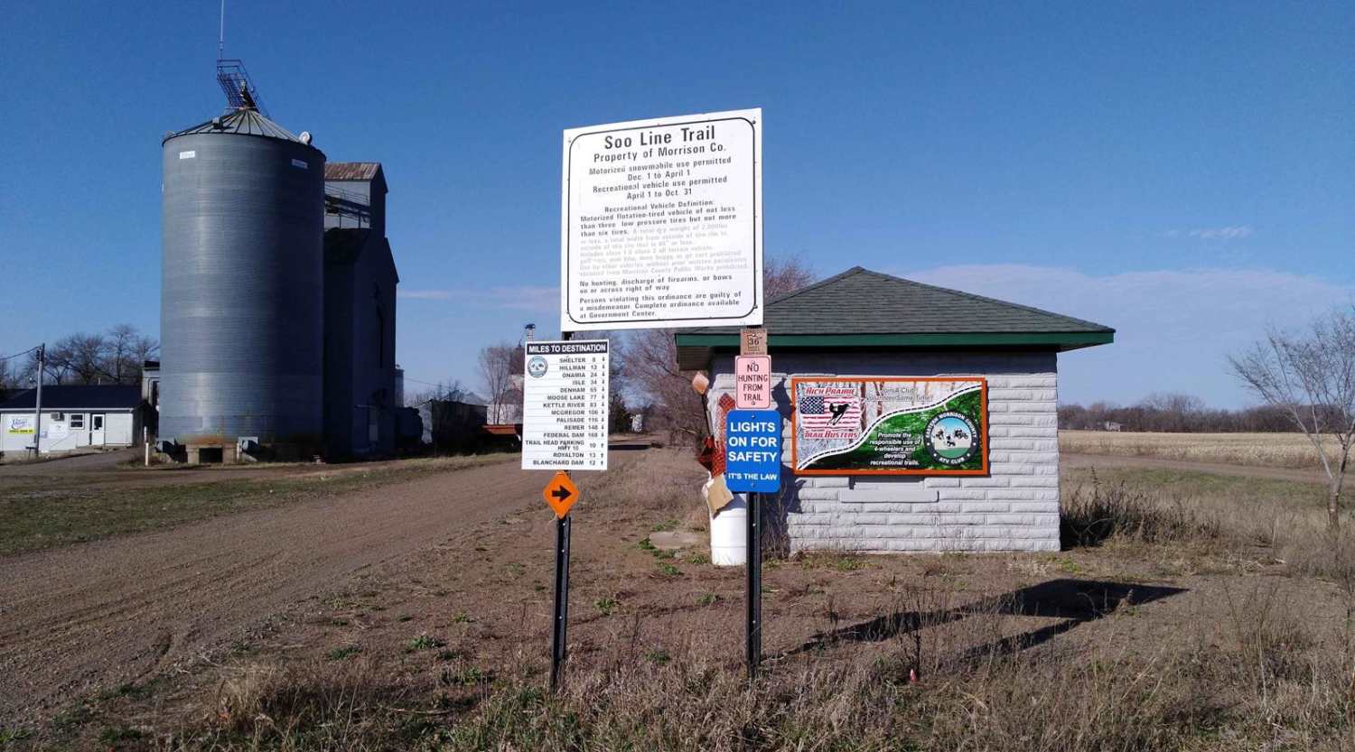
Genola to Hillman

Genola to Hillman

Genola to Hillman on the Soo Line South Trail is a section of converted rail grade that is 12 miles long and takes about 40 minutes with an average speed of 19.6 mph. This section…
Learn more about Genola to Hillman
Total Miles
11.8
Tech Rating
1 Easy
Best Time
Spring, Summer, Fall
Learn more about Hill City to Washburn Lake
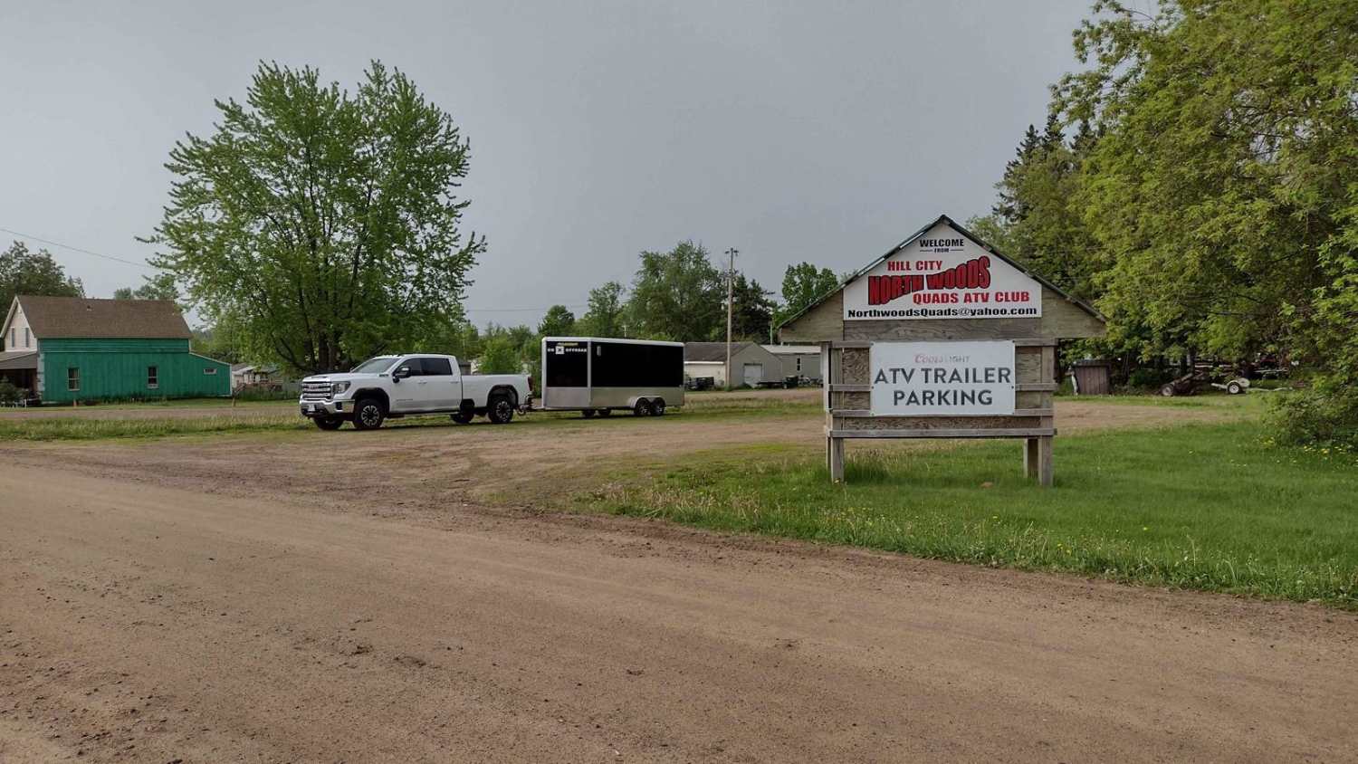
Hill City to Washburn Lake

Hill City to Washburn Lake

Hill City to Washburn Lake on the Rabey Line converted rail is a section that is 7.1 miles long and takes about 30 minutes with an average speed of 12.6 MPH. This is an easy…
Learn more about Hill City to Washburn Lake
Total Miles
7.0
Tech Rating
1 Easy
Best Time
Spring, Summer, Fall
Learn more about Hill City Trail
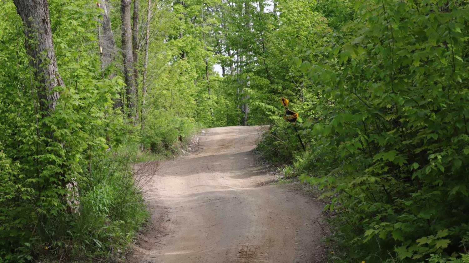
Hill City Trail

Hill City Trail

The Hill City Trail runs between the Rabey Line and Soo Line Trails, as the name suggests it takes you over, on the side of and around area hills. This trail is 14.2 miles long…
Learn more about Hill City Trail
Total Miles
14.4
Tech Rating
3 Easy
Best Time
Spring, Summer, Fall
Learn more about Hillman to Onamia
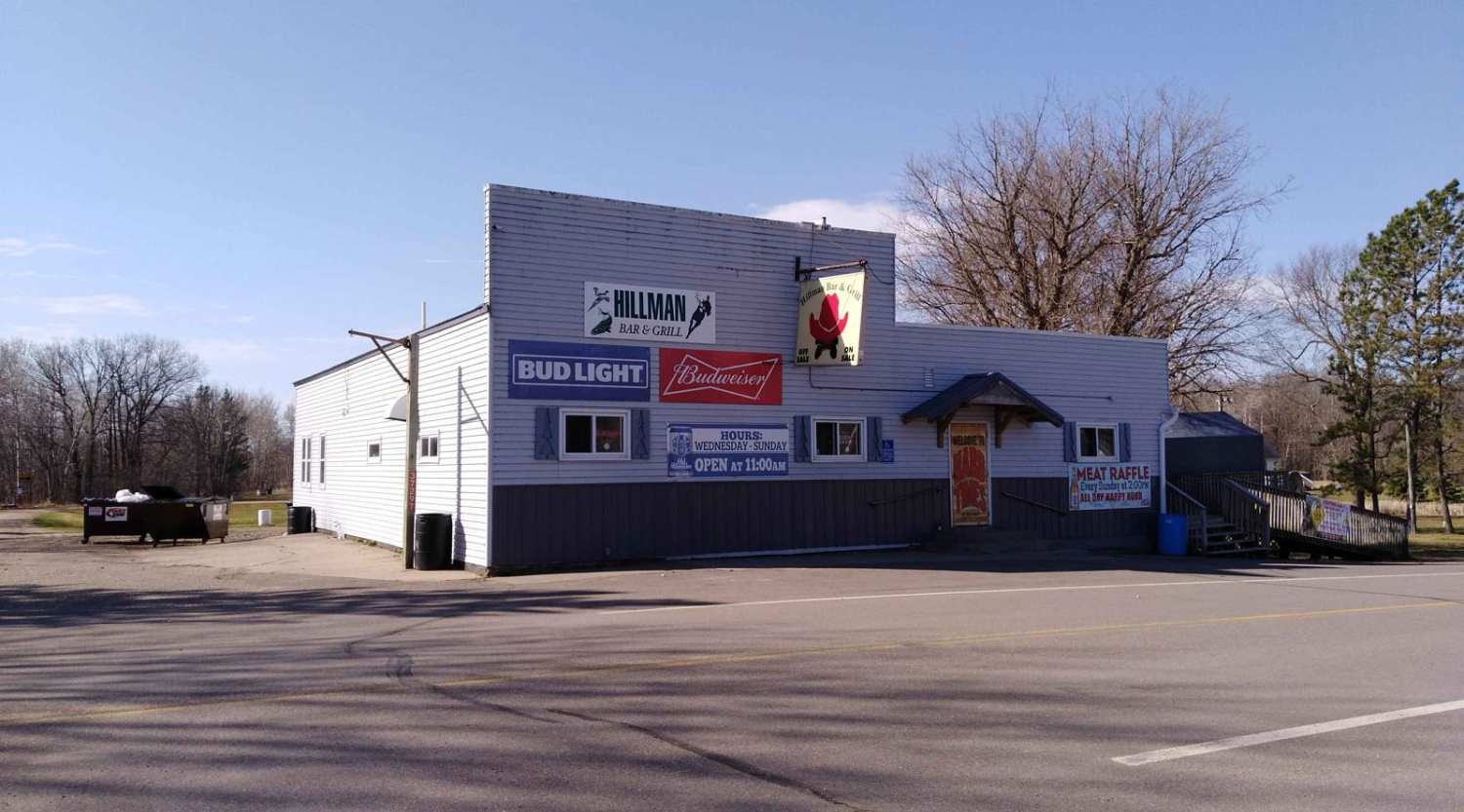
Hillman to Onamia

Hillman to Onamia

Hillman to Onamia on the Soo Line South Trail is a section of converted rail grade. At 12 miles long, it takes about 30 minutes with an average speed of 24.1 mph. This section of…
Learn more about Hillman to Onamia
Total Miles
12.1
Tech Rating
1 Easy
Best Time
Spring, Summer, Fall
Learn more about Huntersville East Central Loop
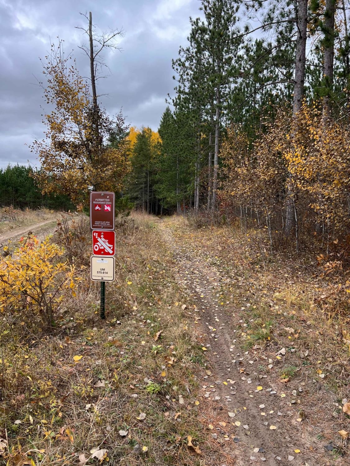
Huntersville East Central Loop

Huntersville East Central Loop

This trail is a nice continuous loop single track. There were a number of sections of roots and lots of whoops. There are no other major obstacles except one larger downed tree with a bypass.…
Learn more about Huntersville East Central Loop
Total Miles
5.2
Tech Rating
3 Easy
Best Time
Spring, Summer, Fall
Learn more about Huntersville East Wooded Free for All Trail
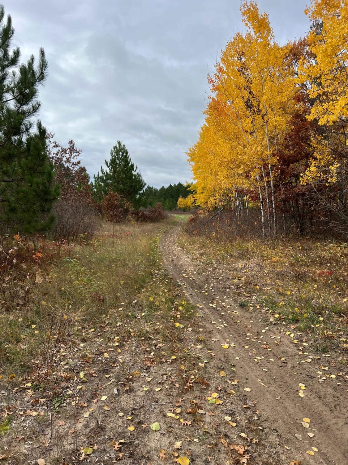
Huntersville East Wooded Free for All Trail

Huntersville East Wooded Free for All Trail

This trail is just one possible loop through the Huntersville Trail System; there are so many different sub-trails that it's hard to know which to take. These trails are all typically narrow with whoops and…
Learn more about Huntersville East Wooded Free for All Trail
Total Miles
2.7
Tech Rating
3 Easy
Best Time
Spring, Summer, Fall
Learn more about Huntersville Eastern Loop
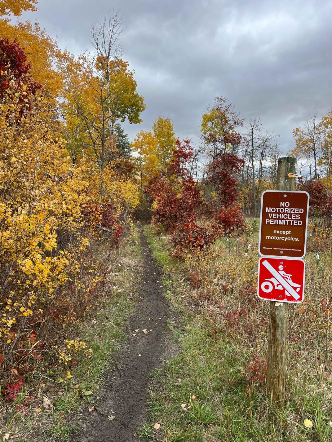
Huntersville Eastern Loop

Huntersville Eastern Loop

This trail appears relatively new to the Huntersville Trail System. There are really small, close bumps that are hard to bridge; you feel them without going fast. The trail has many tight spots throughout the…
Learn more about Huntersville Eastern Loop
Total Miles
1.3
Tech Rating
3 Easy
Best Time
Spring, Summer, Fall
Learn more about Huntersville Smooth Switch Back Start
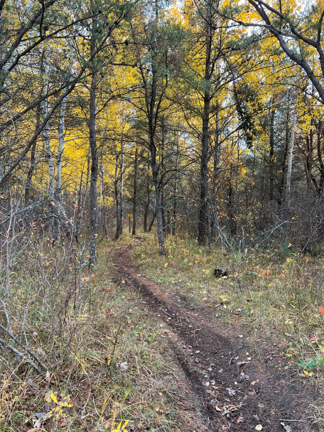
Huntersville Smooth Switch Back Start

Huntersville Smooth Switch Back Start

This trail is one of the starter sections to many trails on the western side of Huntersville State Forest trails. It is not overly narrow and really fun, zig-zagging through the trees. There are no…
Learn more about Huntersville Smooth Switch Back Start
Total Miles
1.4
Tech Rating
3 Easy
Best Time
Spring, Summer, Fall
Learn more about Huntersville Southeast Leg
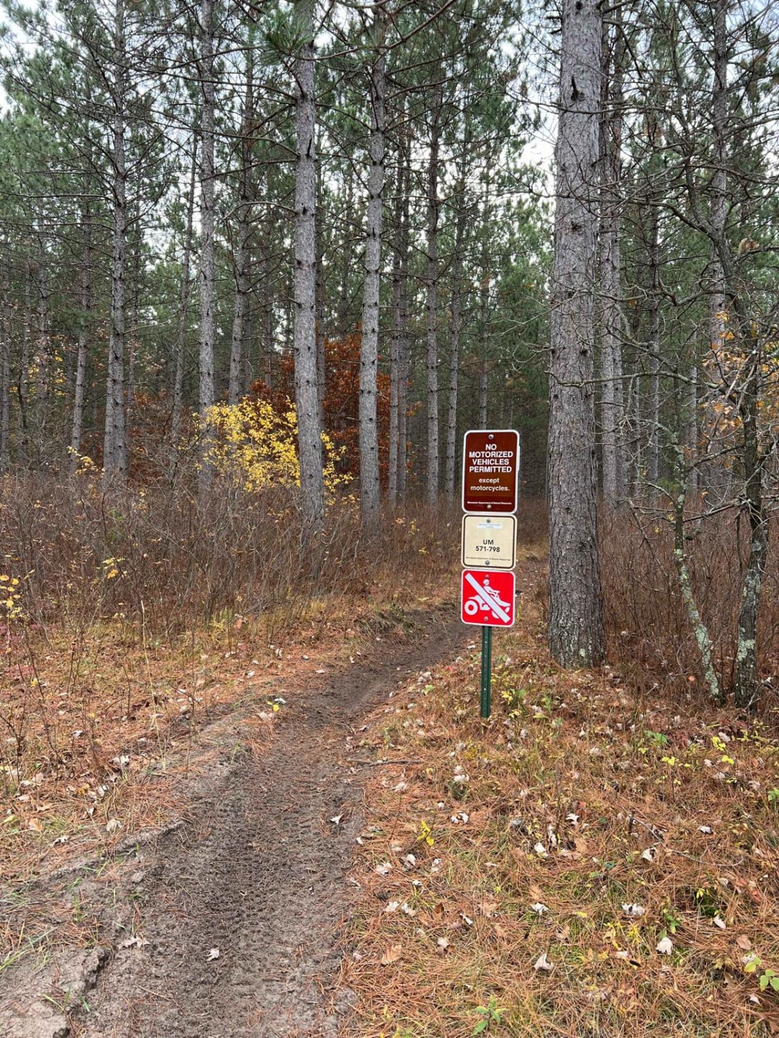
Huntersville Southeast Leg

Huntersville Southeast Leg

This trail is really nice. There are areas of open forest where you can ride faster and other areas where it winds through the trees. There were no notable obstacles. Compared to nearby Paul Bunyan…
Learn more about Huntersville Southeast Leg
Total Miles
1.4
Tech Rating
3 Easy
Best Time
Spring, Summer, Fall
Learn more about Huntersville Southwestern Trail
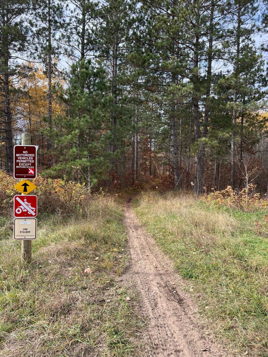
Huntersville Southwestern Trail

Huntersville Southwestern Trail

This trail is a Huntersville sampler. There are super dense forest sections where you have to slow down to thread trees, sections of many whoops, somewhat washed-out trails that are sandy, and some trail sections…
Learn more about Huntersville Southwestern Trail
Total Miles
2.9
Tech Rating
3 Easy
Best Time
Spring, Summer, Fall
Learn more about Huntersville Western Central Trail Start
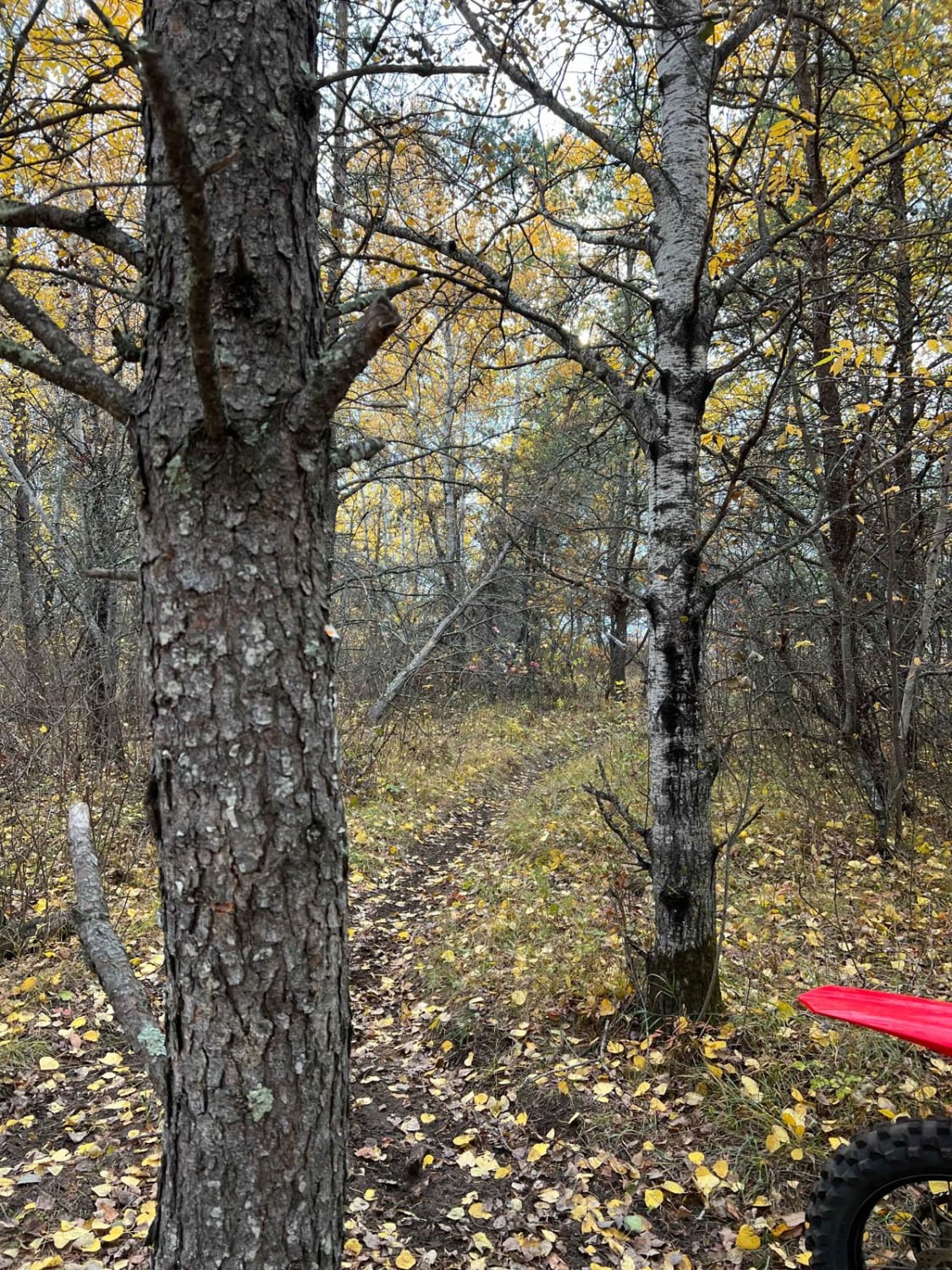
Huntersville Western Central Trail Start

Huntersville Western Central Trail Start

This trail is one of two options if starting the western central Huntersville trails directly north of the system as opposed to near the river. This trail is pretty standard as wider single track with…
Learn more about Huntersville Western Central Trail Start
Total Miles
1.8
Tech Rating
3 Easy
Best Time
Spring, Summer, Fall
Learn more about Huntersville Western Loop Parking Lot Jaunt
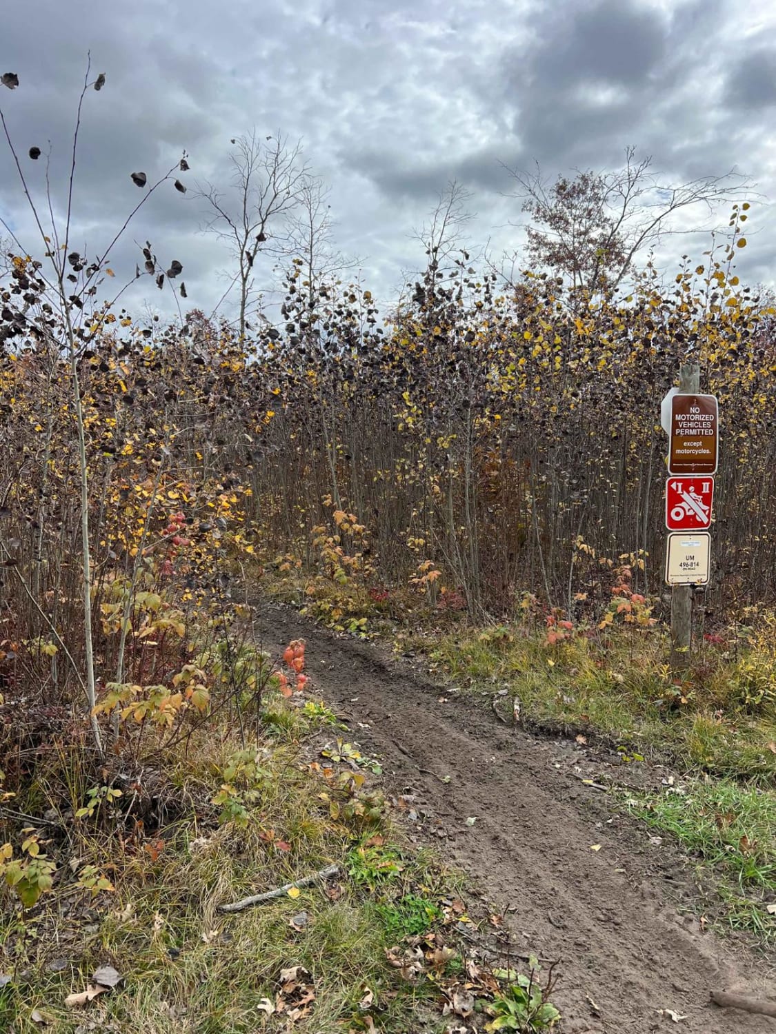
Huntersville Western Loop Parking Lot Jaunt

Huntersville Western Loop Parking Lot Jaunt

This trail is a nice connection route between the western parking area and the western dirt bike only loop. There is also a small gravel pit space near the junction in the middle. The trail…
Learn more about Huntersville Western Loop Parking Lot Jaunt
Total Miles
1.1
Tech Rating
3 Easy
Best Time
Spring, Summer, Fall
Learn more about Huntersville Western Single Track Loop
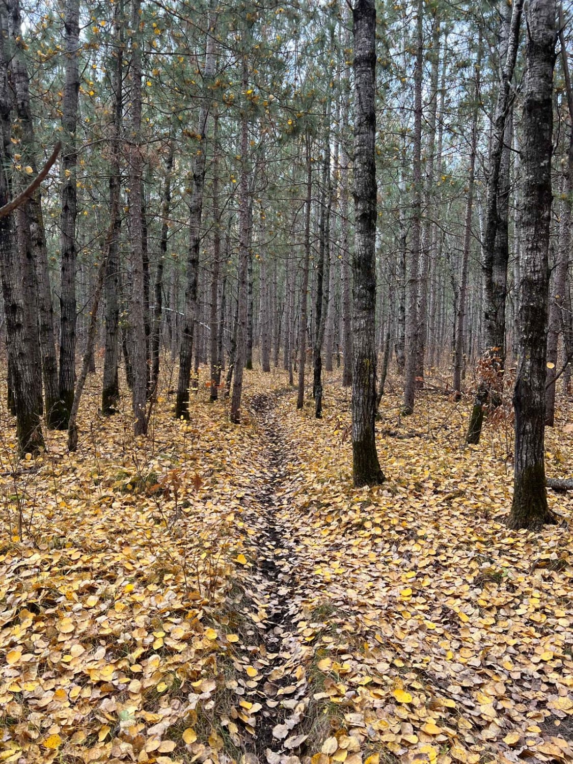
Huntersville Western Single Track Loop

Huntersville Western Single Track Loop

This trail is a really pretty route through multiple wooded region types. There are a few large logging sections and a brief section of wider forest road, in addition to some occasional rocks, but otherwise…
Learn more about Huntersville Western Single Track Loop
Total Miles
4.8
Tech Rating
3 Easy
Best Time
Summer, Fall, Spring
Learn more about Huntersville Western Trailhead - East Leg
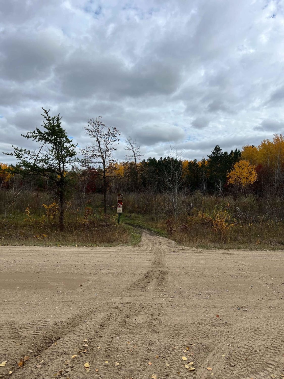
Huntersville Western Trailhead - East Leg

Huntersville Western Trailhead - East Leg

This is a nice, flowy, wooded section of trail with sections of heavy whoops but wide enough trees to keep some speed. It's a good option if you want to hit many central trails from…
Learn more about Huntersville Western Trailhead - East Leg
Total Miles
2.7
Tech Rating
3 Easy
Best Time
Spring, Fall, Summer
Learn more about Ketchum Road Northwest to Cass Lake
Ketchum Road Northwest to Cass Lake

Ketchum Road Northwest to Cass Lake

Ketchum Road Northwest to Cass Lake on the Soo Line North follows an active railroad and US Highway 2, is 12.3 miles long, and takes about 40 minutes with an average speed of 19.3 MPH.…
Learn more about Ketchum Road Northwest to Cass Lake
Total Miles
9.7
Tech Rating
2 Easy
Best Time
Spring, Summer, Fall
Learn more about Kettle River to Lawler Loop Trails
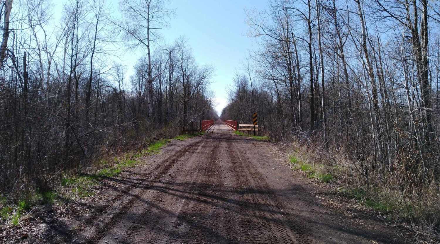
Kettle River to Lawler Loop Trails

Kettle River to Lawler Loop Trails

Kettle River to Lawler Loop Trails on the Soo Line North is a section of converted rail grade that is 9.6 miles long and takes about 25 minutes with an average speed of 23.3 MPH.…
Learn more about Kettle River to Lawler Loop Trails
Total Miles
9.3
Tech Rating
1 Easy
Best Time
Spring, Summer, Fall

The onX Offroad Difference

onX Offroad combines trail photos, descriptions, difficulty ratings, width restrictions, seasonality, and more in a user-friendly interface. Available on all devices, with offline access and full compatibility with CarPlay and Android Auto. Discover what you’re missing today!