Off-Road Trails in Montana

Discover off-road trails in Montana

Learn more about GSVA Route
GSVA Route

GSVA Route

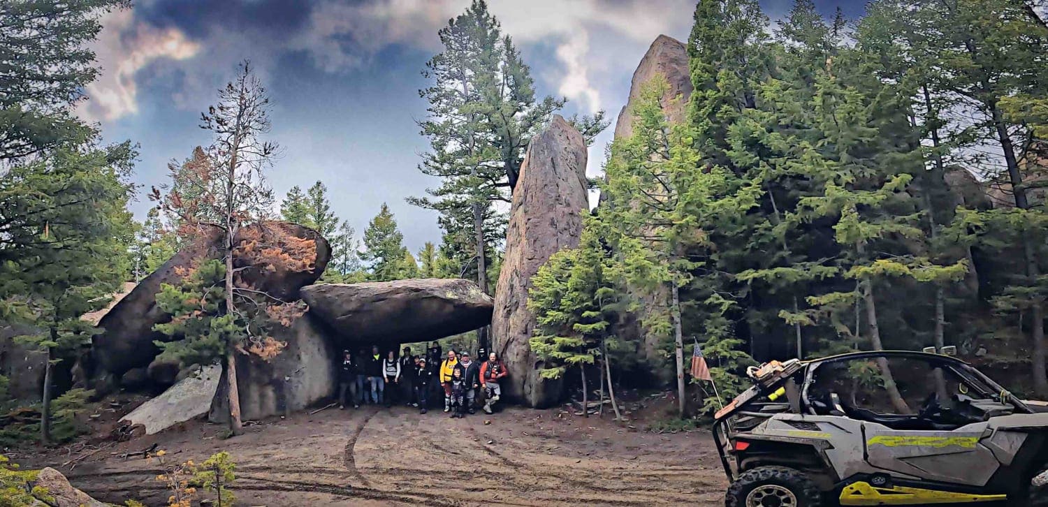
Pipestone has about 75 miles of developed ORV riding trails and is open year around. There are 5 major parking areas Pipestone Trailhead, Four Corners Staging Area, Ringing Rocks Staging Area, Whiskey Gulch Trailhead and…
Learn more about GSVA Route
Total Miles
31.8
Tech Rating
4 Moderate
Best Time
Spring, Summer, Fall, Winter
Learn more about Guide Finger Open
Guide Finger Open

Guide Finger Open

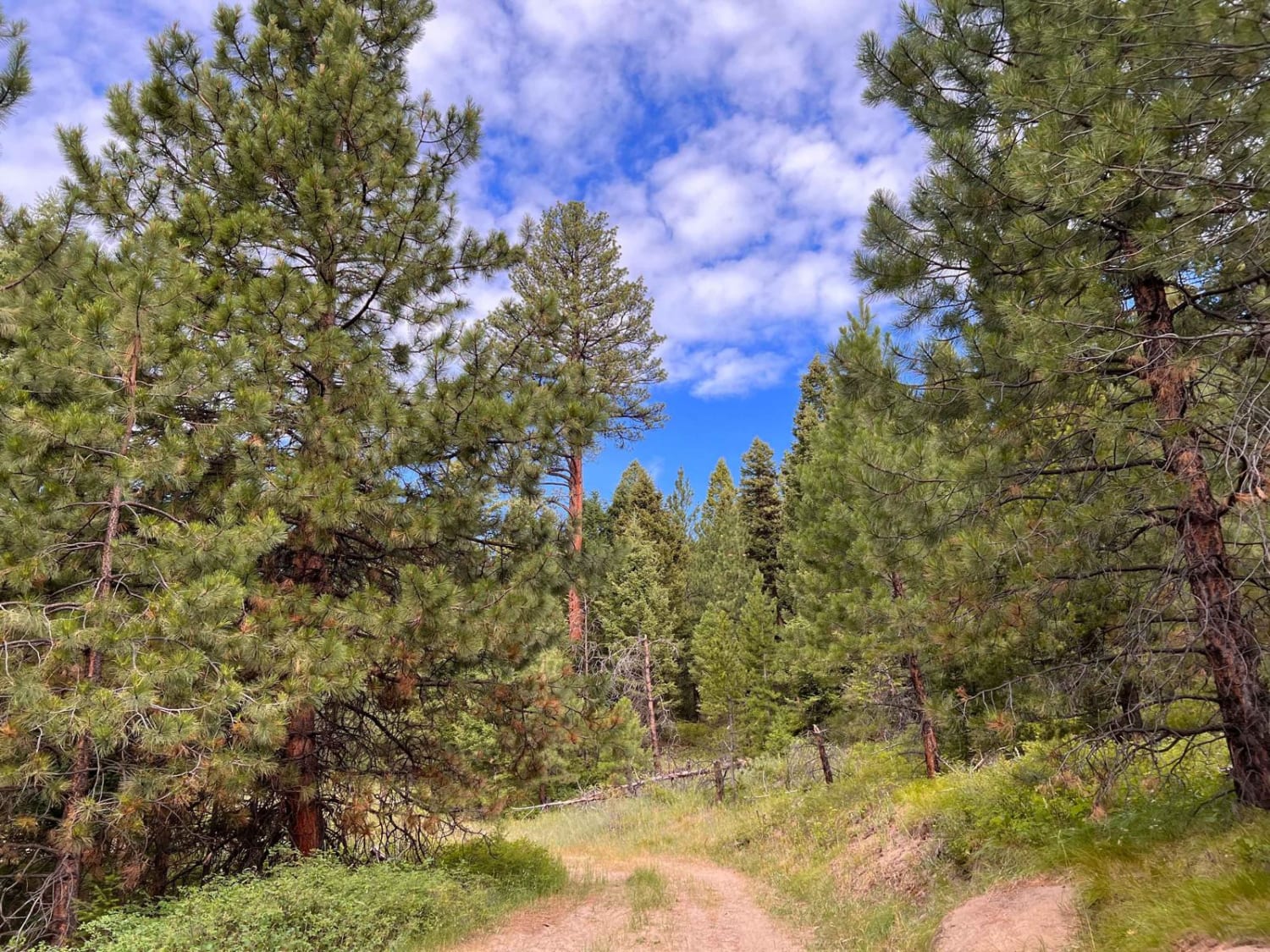
Finally, a trail with an open gate! This dirt trail is rutted in places, narrow, and shows signs of less vehicle traffic. There is a nice dispersed campsite off to the right in the trees…
Learn more about Guide Finger Open
Total Miles
1.5
Tech Rating
5 Moderate
Best Time
Fall, Summer, Spring
Learn more about Guide Saddle
Guide Saddle

Guide Saddle

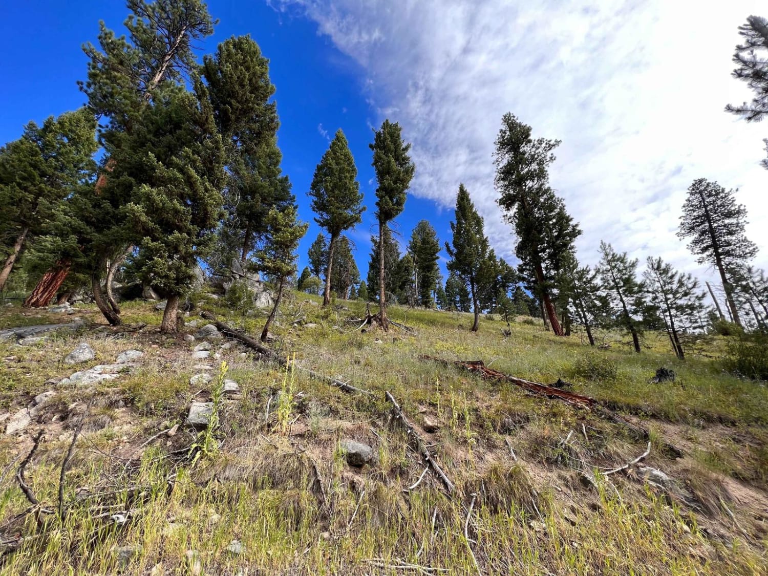
This trail is more of an access trail to other networks of trails than an exciting trail to a saddle. The trail starts as gravel and gradually transitions to dirt as it slowly gains some…
Learn more about Guide Saddle
Total Miles
2.4
Tech Rating
2 Easy
Best Time
Fall, Summer, Spring
Learn more about Gyp Springs Road
Gyp Springs Road

Gyp Springs Road

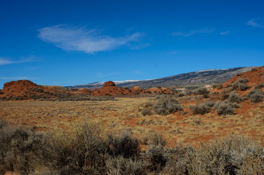
Gyp Springs Road provides a quick access between Hwy 310 at Warren, Montana to Hwy 37, northeast of Lovell, Wyoming, which leads to the southern end of the Bighorn Canyon National Recreation Area. Gyp Springs…
Learn more about Gyp Springs Road
Total Miles
8.9
Tech Rating
1 Easy
Best Time
Spring, Summer, Fall, Winter
Learn more about Hart Bench Loop
Hart Bench Loop

Hart Bench Loop

Hart Bench Loop is a really fun and easy trail. This trail has lots to look at along the way. There are great views of the surrounding mountains, the valley, and the houses down below.…
Learn more about Hart Bench Loop
Total Miles
8.7
Tech Rating
2 Easy
Best Time
Spring, Summer, Fall
Learn more about Hart Bench Loop Connector
Hart Bench Loop Connector

Hart Bench Loop Connector

Hart Bench Loop Connector is a nice trail that connects Trapper Chaffin to Hart Bench Loop. The trail is one full-size vehicle wide the entire way with room to pass in a reasonable amount of…
Learn more about Hart Bench Loop Connector
Total Miles
4.5
Tech Rating
2 Easy
Best Time
Summer, Fall
Learn more about Haskill Divide
Haskill Divide

Haskill Divide

Haskill Divide is a narrow gravel road that climbs in elevation to an incredible overlook of Lake Rogers in Flathead National Forest. From the turn off of Haskill Divide it is 6.5 miles to the…
Learn more about Haskill Divide
Total Miles
6.3
Tech Rating
2 Easy
Best Time
Summer
Learn more about Hatcher Pass
Hatcher Pass

Hatcher Pass

Hatcher Pass is an out-and-back off of Cottonwood Road. There are a couple of loose and slightly rutted sections, but nothing challenging. This trail ends at a closed gate bordering private property and you will…
Learn more about Hatcher Pass
Total Miles
2.6
Tech Rating
2 Easy
Best Time
Winter, Fall, Summer, Spring
Learn more about Hay Canyon Trail
Hay Canyon Trail

Hay Canyon Trail

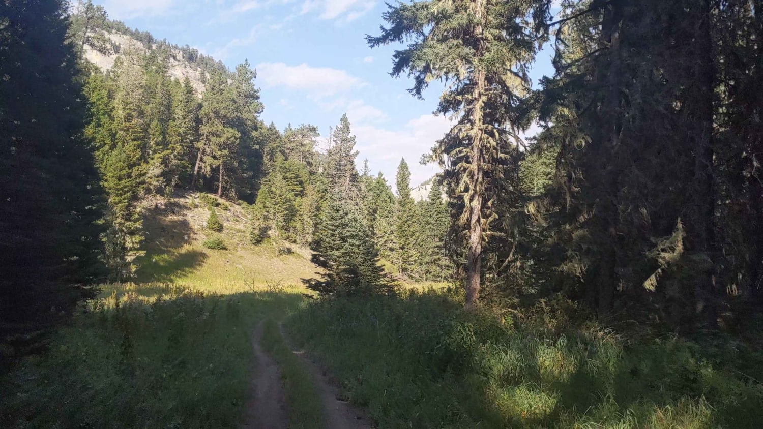
Open July 1 - Oct 14. Hay Canyon Trail is in the Little Belt Mountains, located in the Lewis and Clark National Forest, Southeast of Great Falls and Northwest of Harlowton, Montana. From Hay Canyon…
Learn more about Hay Canyon Trail
Total Miles
7.4
Tech Rating
3 Easy
Best Time
Summer
Learn more about Haymaker Narrows
Haymaker Narrows

Haymaker Narrows

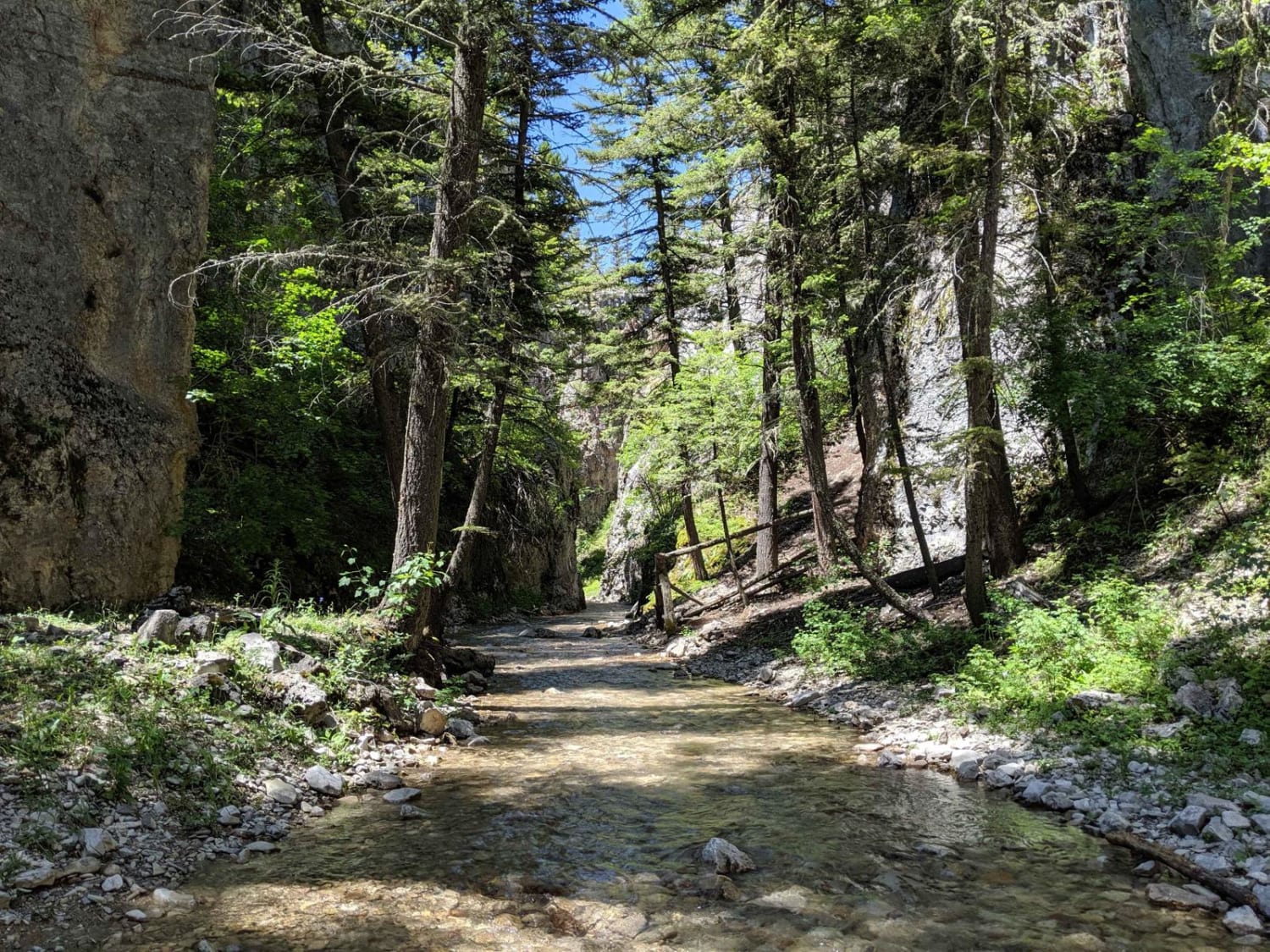
Haymaker Narrows trail is a 50 inch trail. The area referred to as "the narrows" is in the south section with multiple water crossings, high rock walls on both sides and portions of the trail…
Learn more about Haymaker Narrows
Total Miles
9.6
Tech Rating
5 Moderate
Best Time
Summer
Learn more about Hays Creek Moose Creek
Hays Creek Moose Creek

Hays Creek Moose Creek

This is a nice ridgeline connection trail that when linked up with Moose Creek/Old Mine Trail and Lost Horse Ridgeline creates a full loop. The beginning of Lost Horse Observation Point is at one end…
Learn more about Hays Creek Moose Creek
Total Miles
2.1
Tech Rating
2 Easy
Best Time
Fall, Summer, Spring
Learn more about Head of Butterfly
Head of Butterfly

Head of Butterfly

Short out and back. 2 bars LTE. Very narrow. Not Recommended to take a vehicle wider or taller than an SXS. There is a small camp spot before the end which doubles as the final…
Learn more about Head of Butterfly
Total Miles
0.4
Tech Rating
3 Easy
Best Time
Fall, Summer, Spring
Learn more about Head Of St. Clair
Head Of St. Clair

Head Of St. Clair

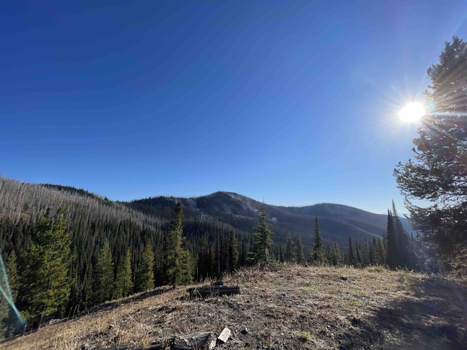
A worthwhile small offshoot trail from the main trail, especially if you are looking for camp. There are a few tiny spots along the trail and a few at the end with amazing views and…
Learn more about Head Of St. Clair
Total Miles
0.4
Tech Rating
3 Easy
Best Time
Summer, Fall, Spring
Learn more about Heather & Emerald Scramble
Heather & Emerald Scramble

Heather & Emerald Scramble

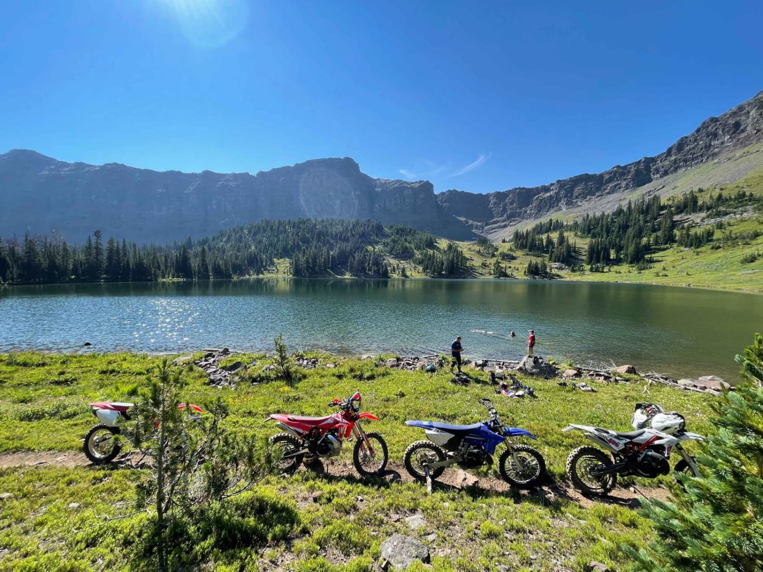
Starting from the East Fork Hyalite trailhead, you will be winding and zipping through the trees headed south until you reach Emerald lake, followed by Heather Lake. Emerald is about 5 miles, with Heather being…
Learn more about Heather & Emerald Scramble
Total Miles
5.2
Tech Rating
7 Difficult
Best Time
Fall, Summer
Learn more about Hedges Mountain
Hedges Mountain

Hedges Mountain

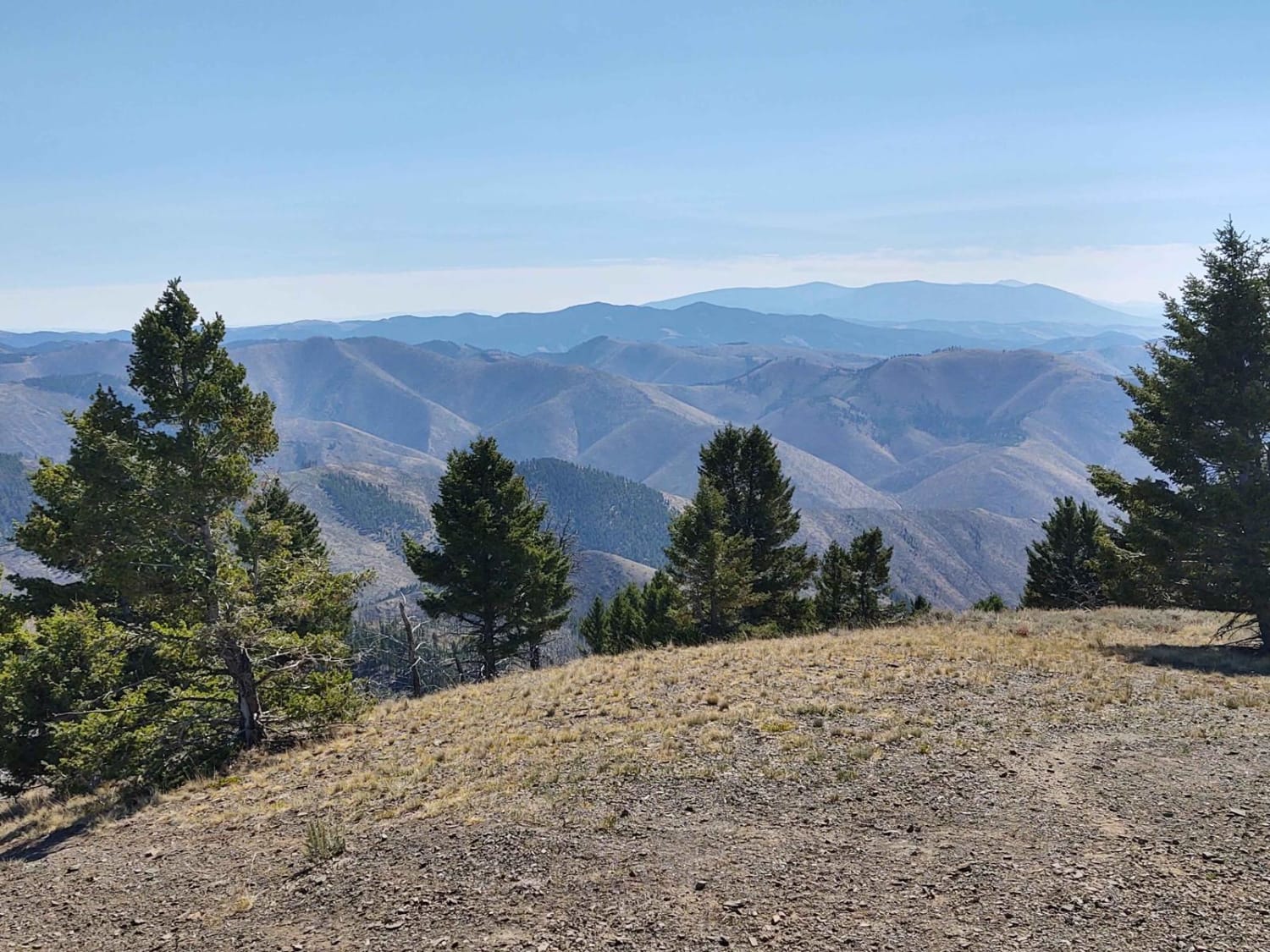
This 3-mile RT track takes you to Hedges Mountain in the Helena National Forest at an elevation of 7131 feet. The scenery is spectacular, the forest is healthy and well-maintained, and the wildlife includes deer,…
Learn more about Hedges Mountain
Total Miles
1.4
Tech Rating
2 Easy
Best Time
Spring, Summer, Fall
Learn more about Hegben Lake Trail
Hegben Lake Trail

Hegben Lake Trail

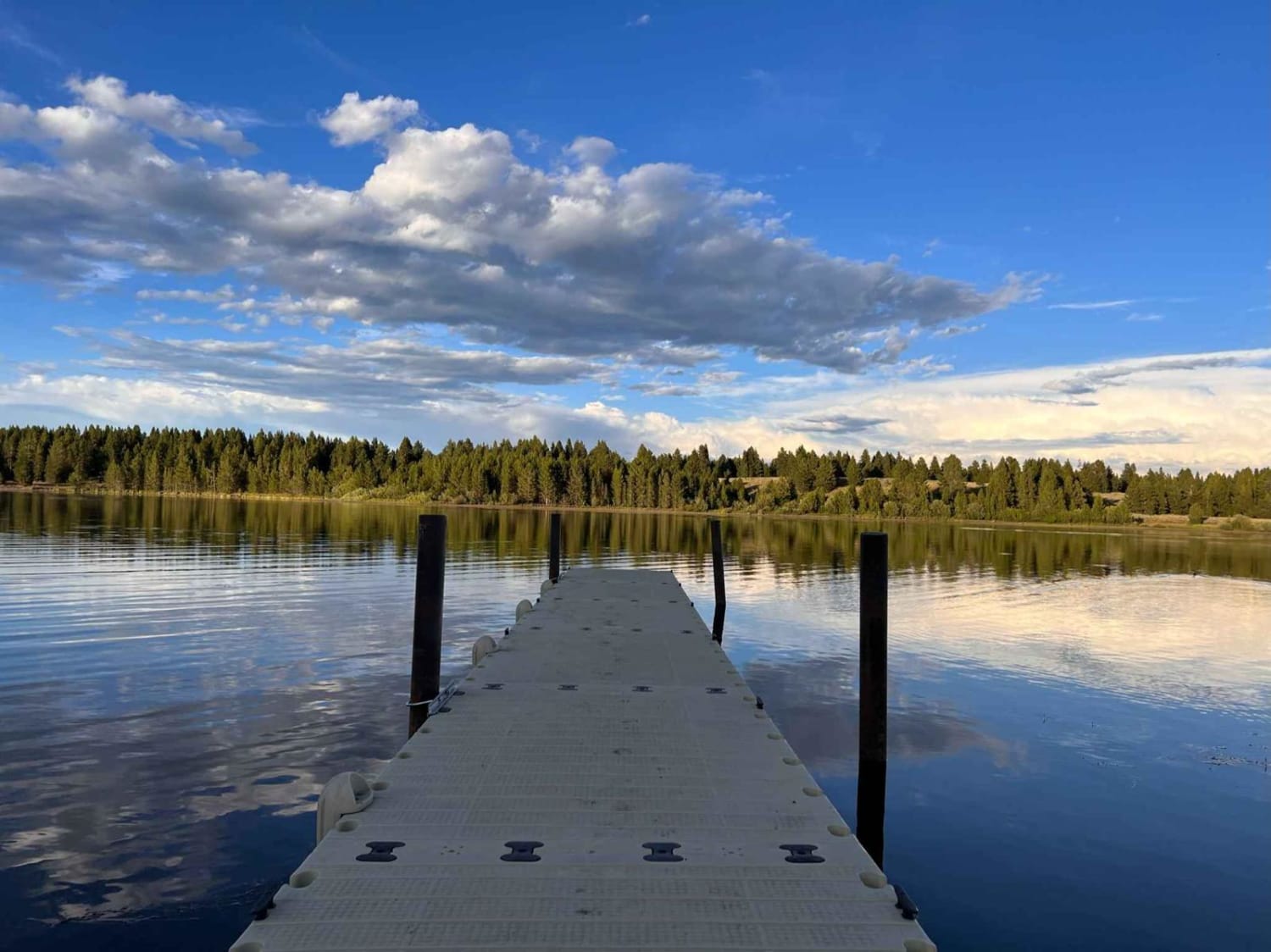
This wide, well-maintained gravel and dirt trail runs along Hegben Lake. Some sections of the trail have a bit of bumpy washboard. Most lake access is from established campgrounds and designated dispersed camping areas. Most…
Learn more about Hegben Lake Trail
Total Miles
8.6
Tech Rating
1 Easy
Best Time
Fall, Summer, Spring
Learn more about Hellroaring Plateau
Hellroaring Plateau

Hellroaring Plateau

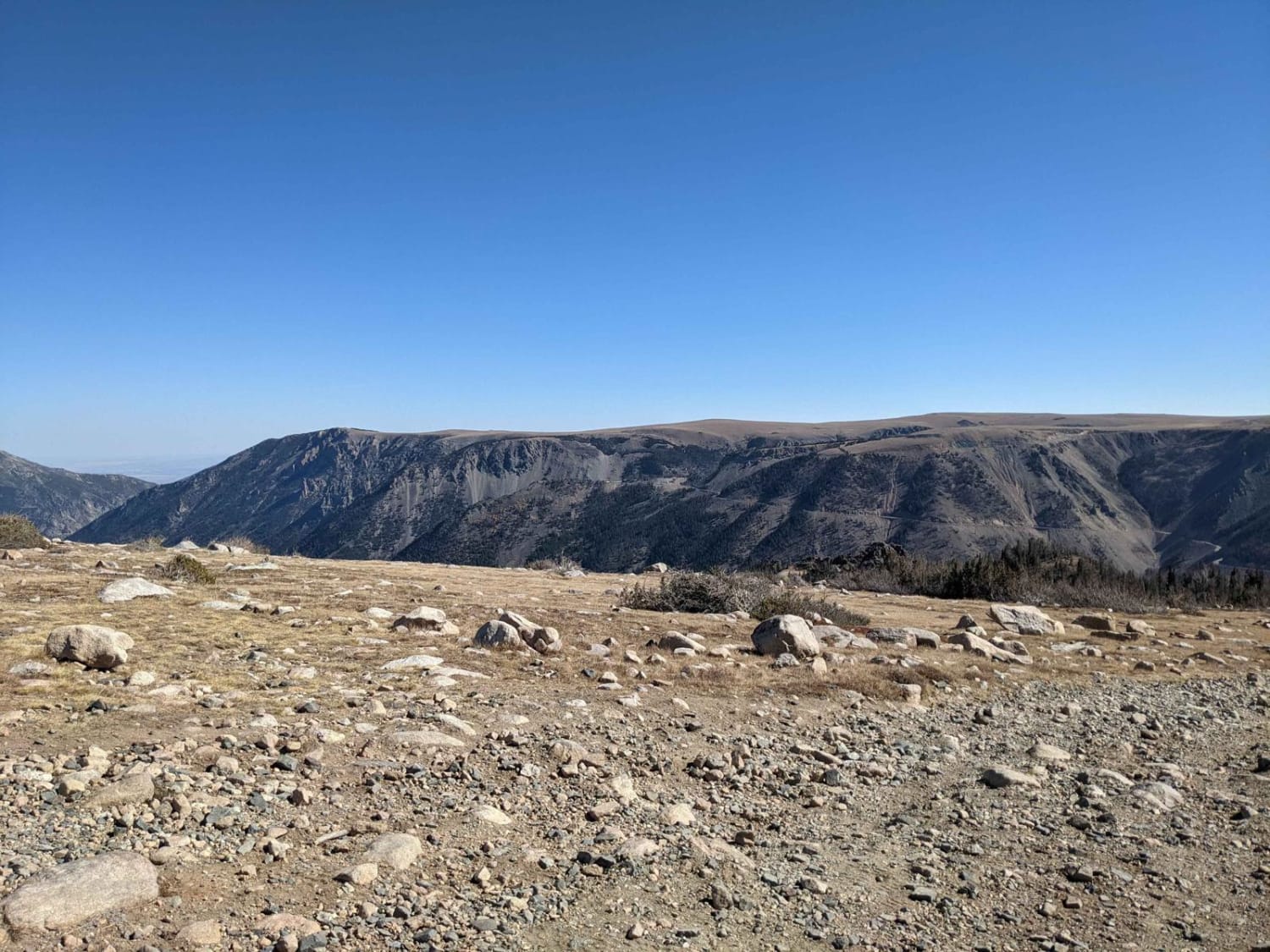
Hellroaring Road is a 4x4 trail located in the Custer Gallatin National Forest outside Red Lodge, Montana near the base of the Beartooth Highway. The trail is out and back, about 6 miles long each…
Learn more about Hellroaring Plateau
Total Miles
7.4
Tech Rating
4 Moderate
Best Time
Summer
Learn more about Helt Road
Helt Road

Helt Road

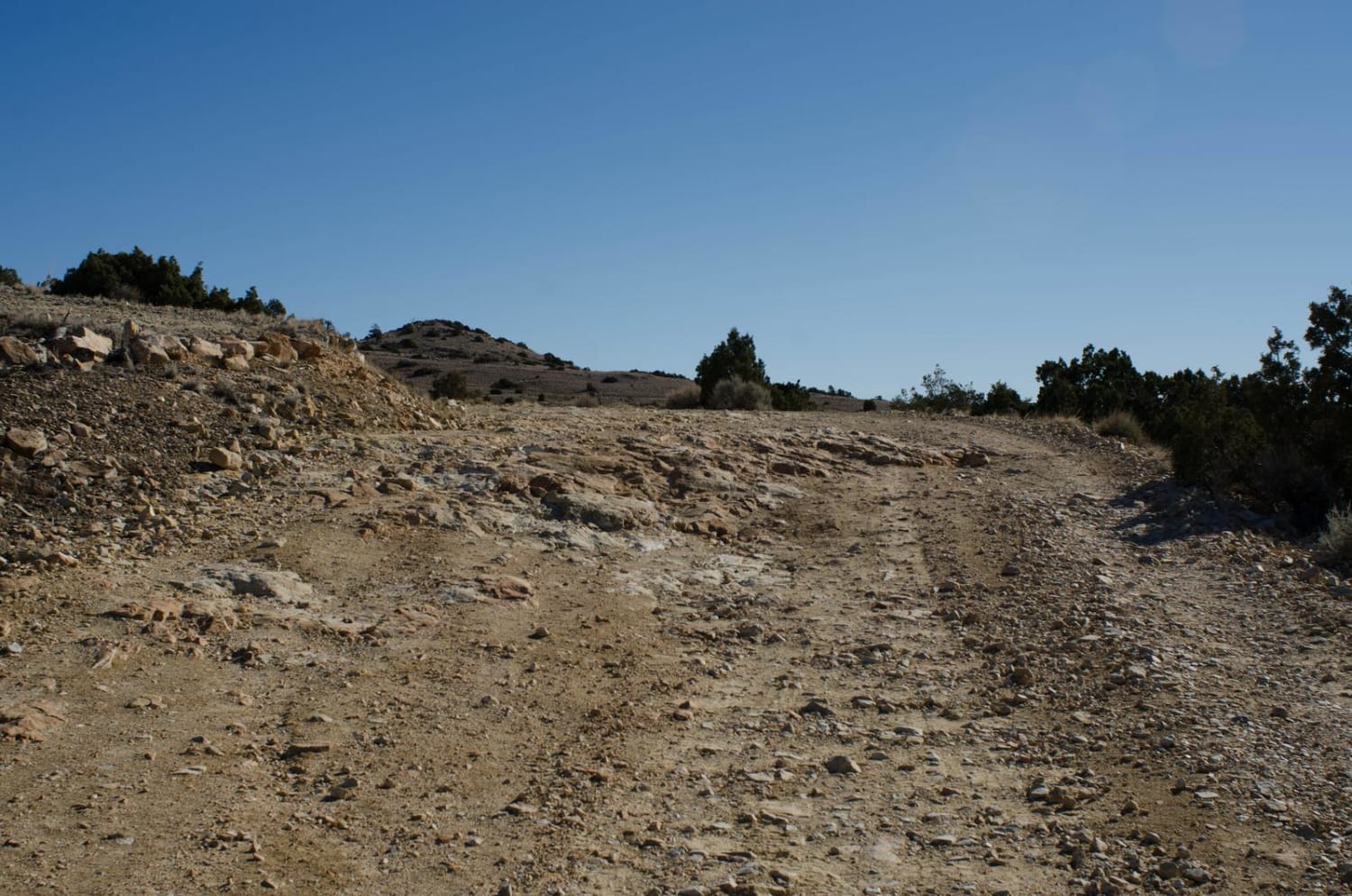
One of the many access routes to the Pryor Mountains, is Helt Road, leaving Warren, MT. Top off your tank in Bridger, MT and head south on Highway 310 to mile marker 5. Turn left…
Learn more about Helt Road
Total Miles
19.6
Tech Rating
2 Easy
Best Time
Spring, Summer, Fall
Learn more about Henderson
Henderson

Henderson

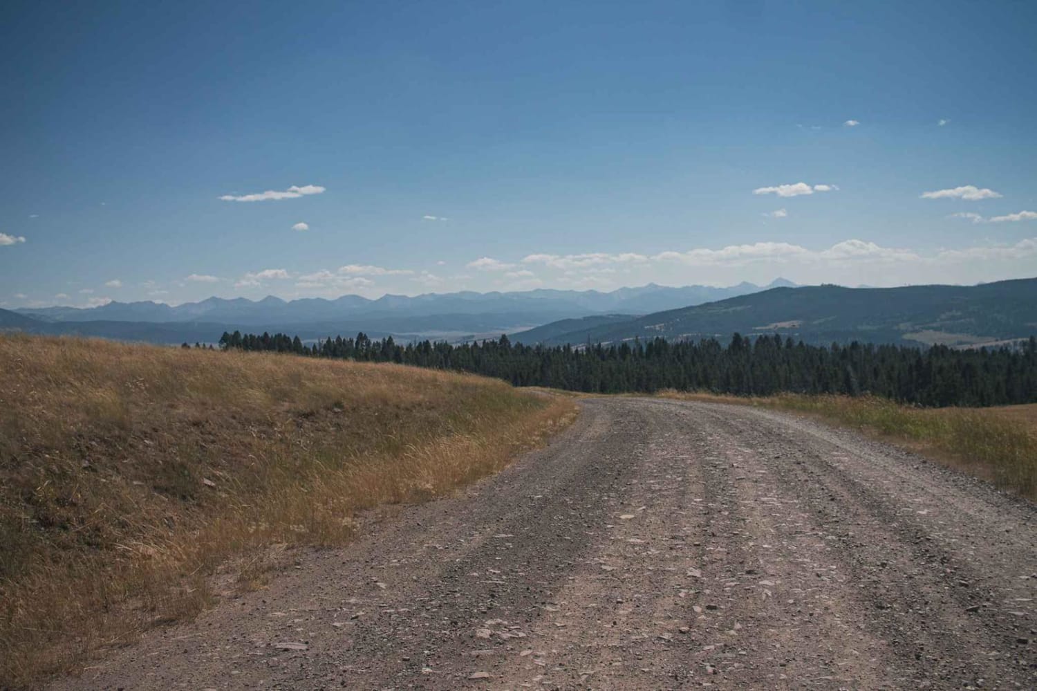
Beautiful road with amazing views to enjoy, there isn't much for camping, maybe a spot or two. Offers access to many roads, and they should provide other camp options. Dirt or rocky road with gentle…
Learn more about Henderson
Total Miles
9.9
Tech Rating
1 Easy
Best Time
Spring, Summer, Fall
Learn more about Henderson Mountain Road
Henderson Mountain Road

Henderson Mountain Road

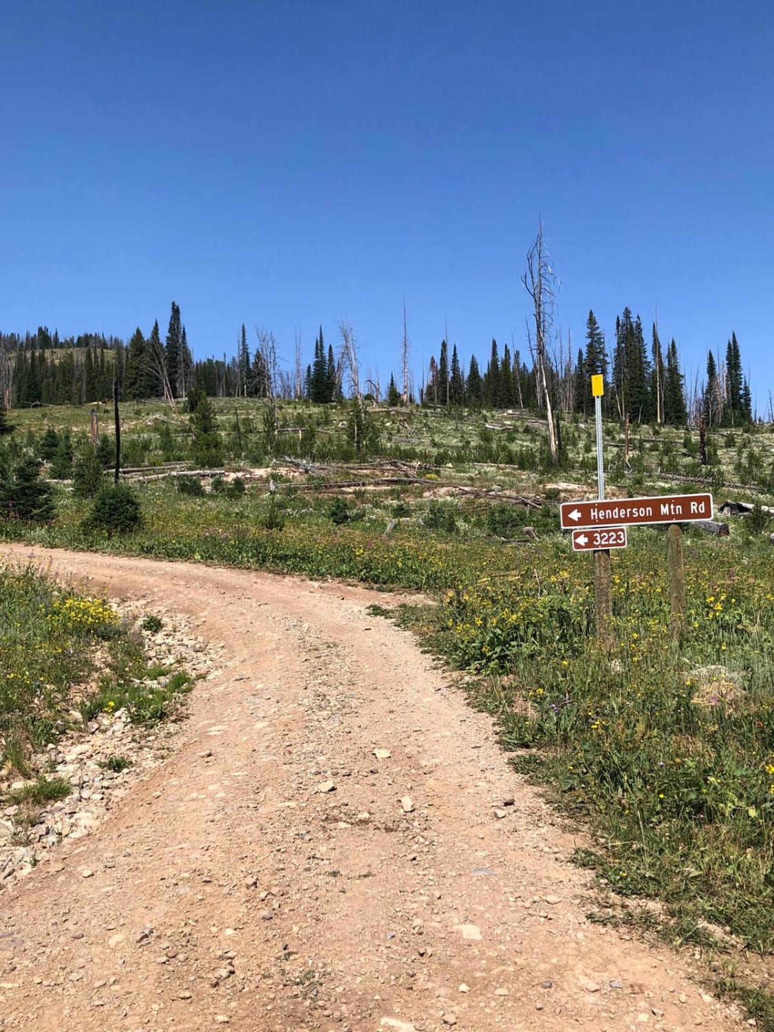
Henderson Mountain Road is accessible from Daisy Pass Road and leads to an old abandoned mine at the top of the mountain. It is a rutted, single-lane shelf road with loose gravel but is worth…
Learn more about Henderson Mountain Road
Total Miles
2.7
Tech Rating
3 Easy
Best Time
Spring, Summer, Fall
1 ... 8 9 10 11 12 13 14 15 16 17 ... 32

The onX Offroad Difference

onX Offroad combines trail photos, descriptions, difficulty ratings, width restrictions, seasonality, and more in a user-friendly interface. Available on all devices, with offline access and full compatibility with CarPlay and Android Auto. Discover what you’re missing today!