Off-Road Trails in Montana

Discover off-road trails in Montana

Learn more about East Fork Rattlesnake
East Fork Rattlesnake

East Fork Rattlesnake

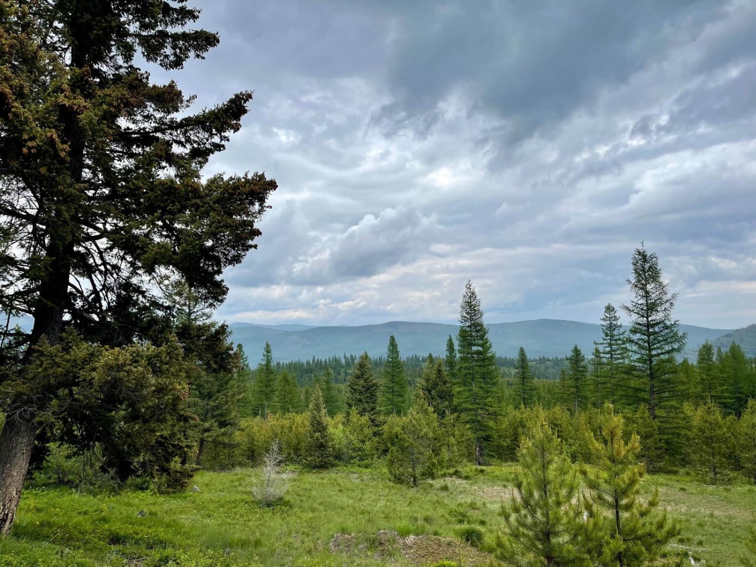
This easy trail heads straight up into the mountains from the valley below. The first mile and a half crosses through private property, so please be respectful and stick to the trail. Once past the…
Learn more about East Fork Rattlesnake
Total Miles
7.3
Tech Rating
2 Easy
Best Time
Summer, Fall
Learn more about East Fork Reservoir
East Fork Reservoir

East Fork Reservoir

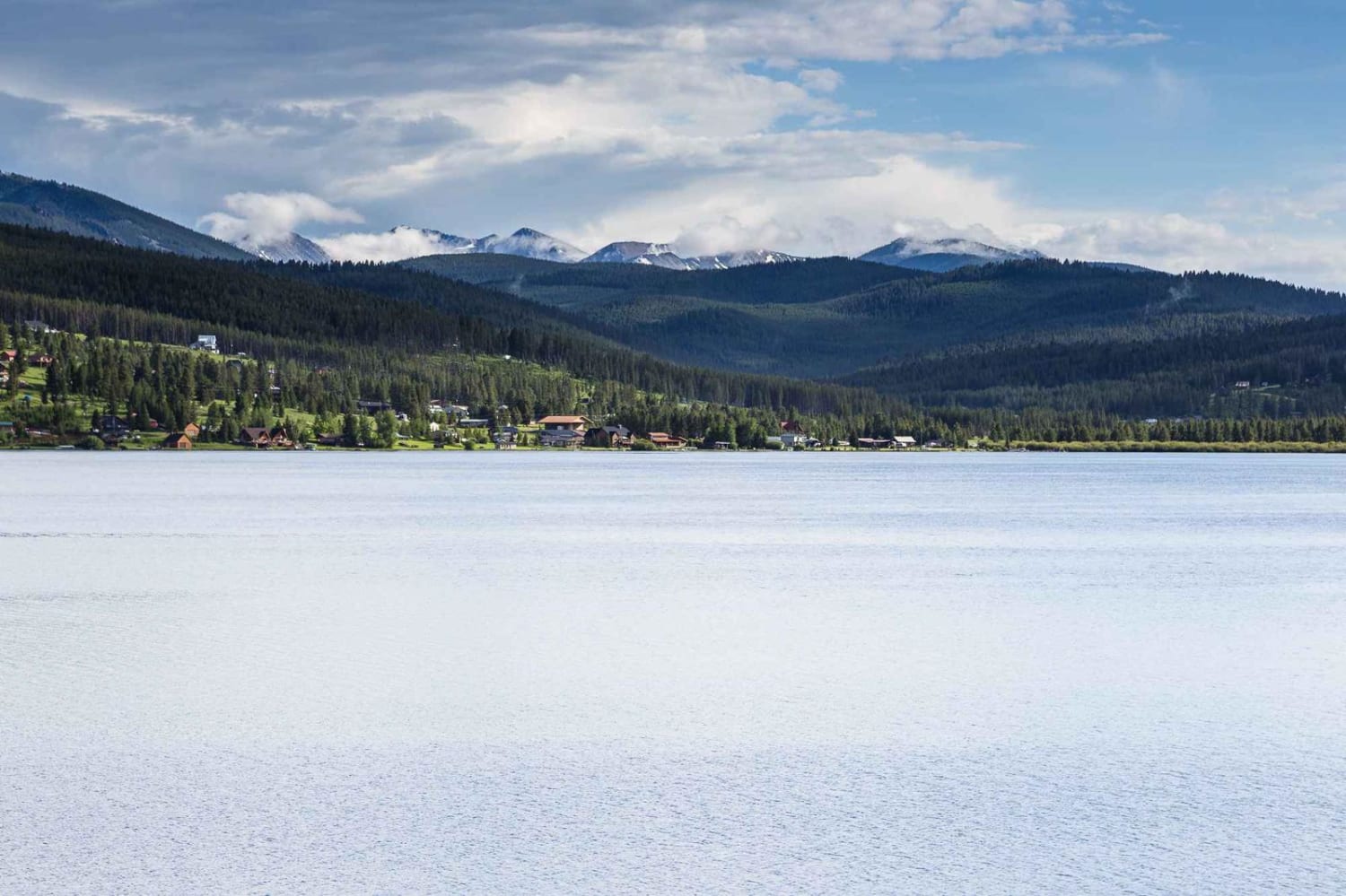
This is a scenic route from Georgetown Lake to the East Fork Reservoir. The route starts on Old Lake Road along the west side of Georgetown Lake. After turning on Georgetown Lake Road you will…
Learn more about East Fork Reservoir
Total Miles
16.2
Tech Rating
1 Easy
Best Time
Summer, Fall, Spring
Learn more about East Morrell
East Morrell

East Morrell

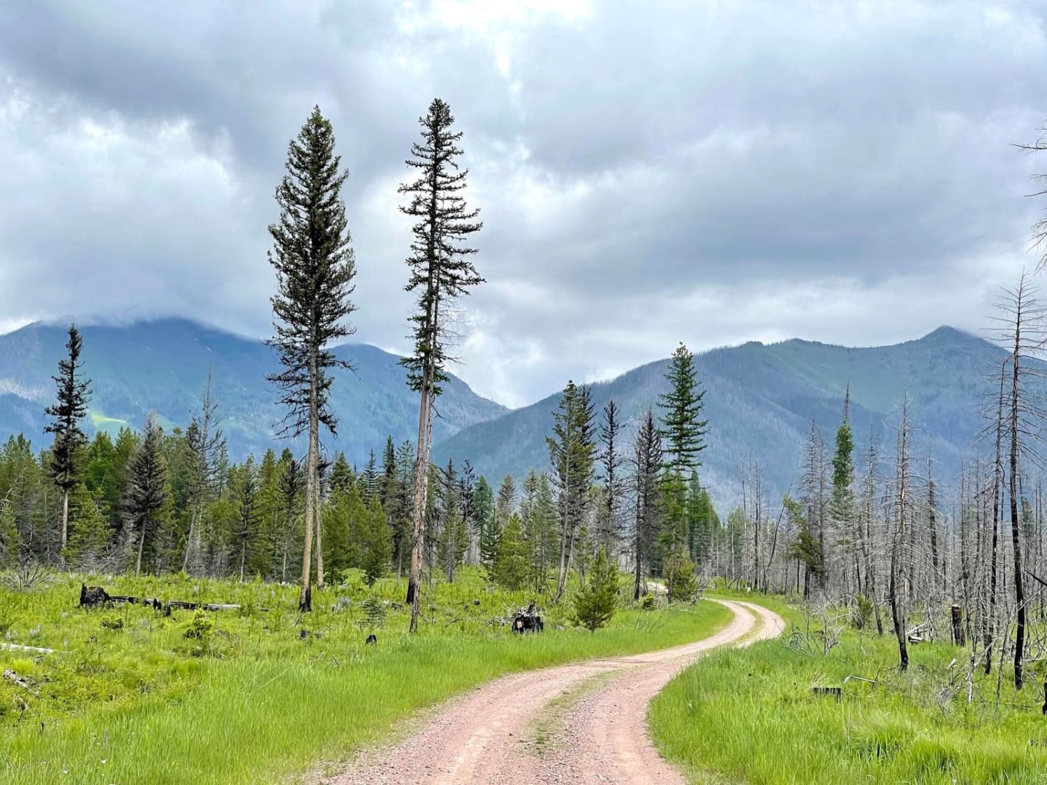
This easy out-and-back trail runs through the middle of the valley and appears to have been the fire line for the most recent big fire in the area. Burned to the South and East and…
Learn more about East Morrell
Total Miles
4.9
Tech Rating
3 Easy
Best Time
Fall, Summer, Spring
Learn more about East Twin Creek Road 2117 (To Sheep Mountain hiking Trailhead)
East Twin Creek Road 2117 (To Sheep Mountain hiking Trailhead)

East Twin Creek Road 2117 (To Sheep Mountain hiking Trailhead)

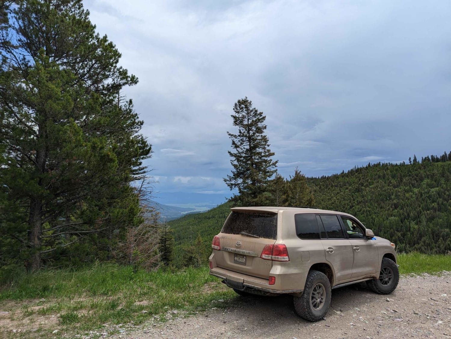
This trail is an easy track that climbs up Sheep Mountain while gaining a lot of elevation. The trail is wide until you reach the upper portion where passing becomes more difficult. There is a…
Learn more about East Twin Creek Road 2117 (To Sheep Mountain hiking Trailhead)
Total Miles
13.3
Tech Rating
1 Easy
Best Time
Spring, Summer, Fall
Learn more about Eastern Garnet Range Road
Eastern Garnet Range Road

Eastern Garnet Range Road

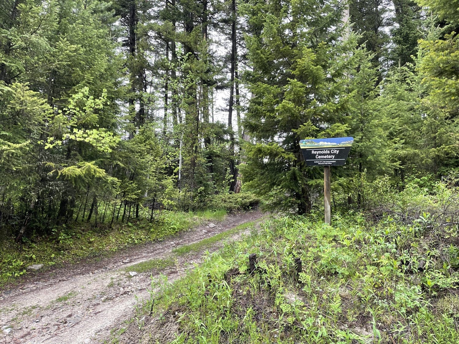
This easy section twists and turns through the hills and offers a lot of offshoots that have been blocked off with gates and a few pullouts with evidence of camping. If that is your jam,…
Learn more about Eastern Garnet Range Road
Total Miles
4.2
Tech Rating
2 Easy
Best Time
Fall, Summer, Spring
Learn more about Eddy Creek Road-Deep Creek Road
Eddy Creek Road-Deep Creek Road

Eddy Creek Road-Deep Creek Road

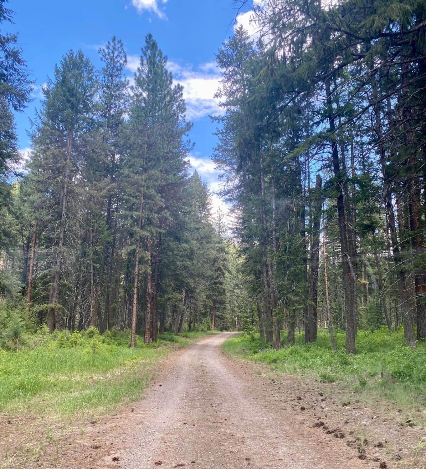
The route is dirt, loose stone, and rocky with wide and narrow roads passing through it. The route is made up of mostly forest lands on both sides with cedar groves at the start and…
Learn more about Eddy Creek Road-Deep Creek Road
Total Miles
14.5
Tech Rating
2 Easy
Best Time
Fall, Summer, Spring
Learn more about Eddy Peak Road
Eddy Peak Road

Eddy Peak Road

Eddy Peak Road is a moderately used out-and-back gravel route from Thompson Falls, Montana to the top of Eddy Peak. The route has sections that are narrow shelf roads with no passing room and up…
Learn more about Eddy Peak Road
Total Miles
10.8
Tech Rating
3 Easy
Best Time
Summer
Learn more about Edith Peak 476-1
Edith Peak 476-1

Edith Peak 476-1

Make your way up to Edith Peak and enjoy views of the valley floor below, vibrant wildflowers, and (if you're lucky) a snow-capped Ch-paa-qn Peak in spring. This road is usually buried in snow from…
Learn more about Edith Peak 476-1
Total Miles
13.4
Tech Rating
2 Easy
Best Time
Spring, Summer, Fall
Learn more about Elliston Spotted Dog
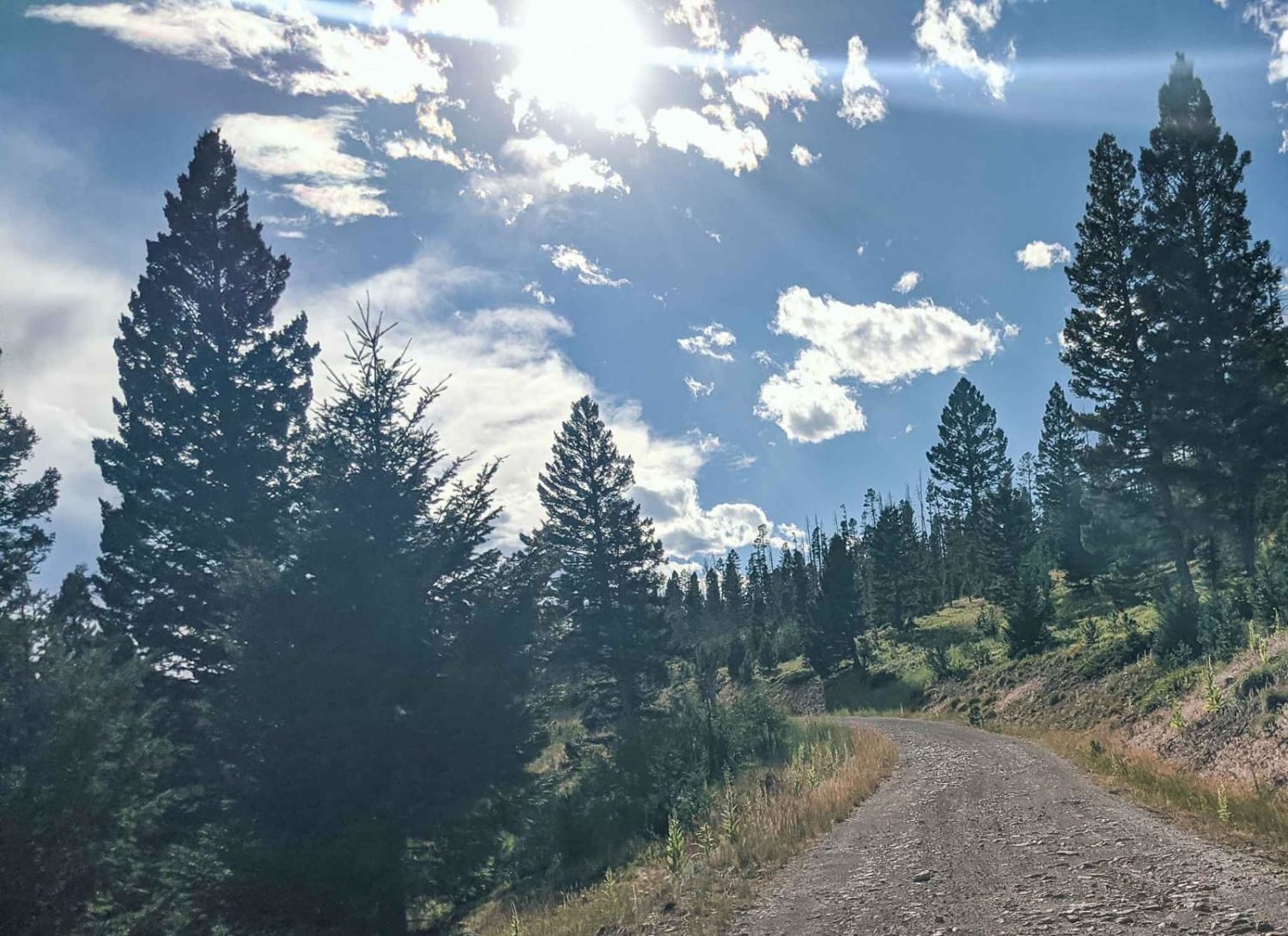
Elliston Spotted Dog

Elliston Spotted Dog

You will enjoy this road with its amazing views. There are a few spots that look like they would be good for camping. Road can be muddy when wet, with some water puddles. Dirt or…
Learn more about Elliston Spotted Dog
Total Miles
17.1
Tech Rating
2 Easy
Best Time
Spring, Summer, Fall
Learn more about Emery Creek
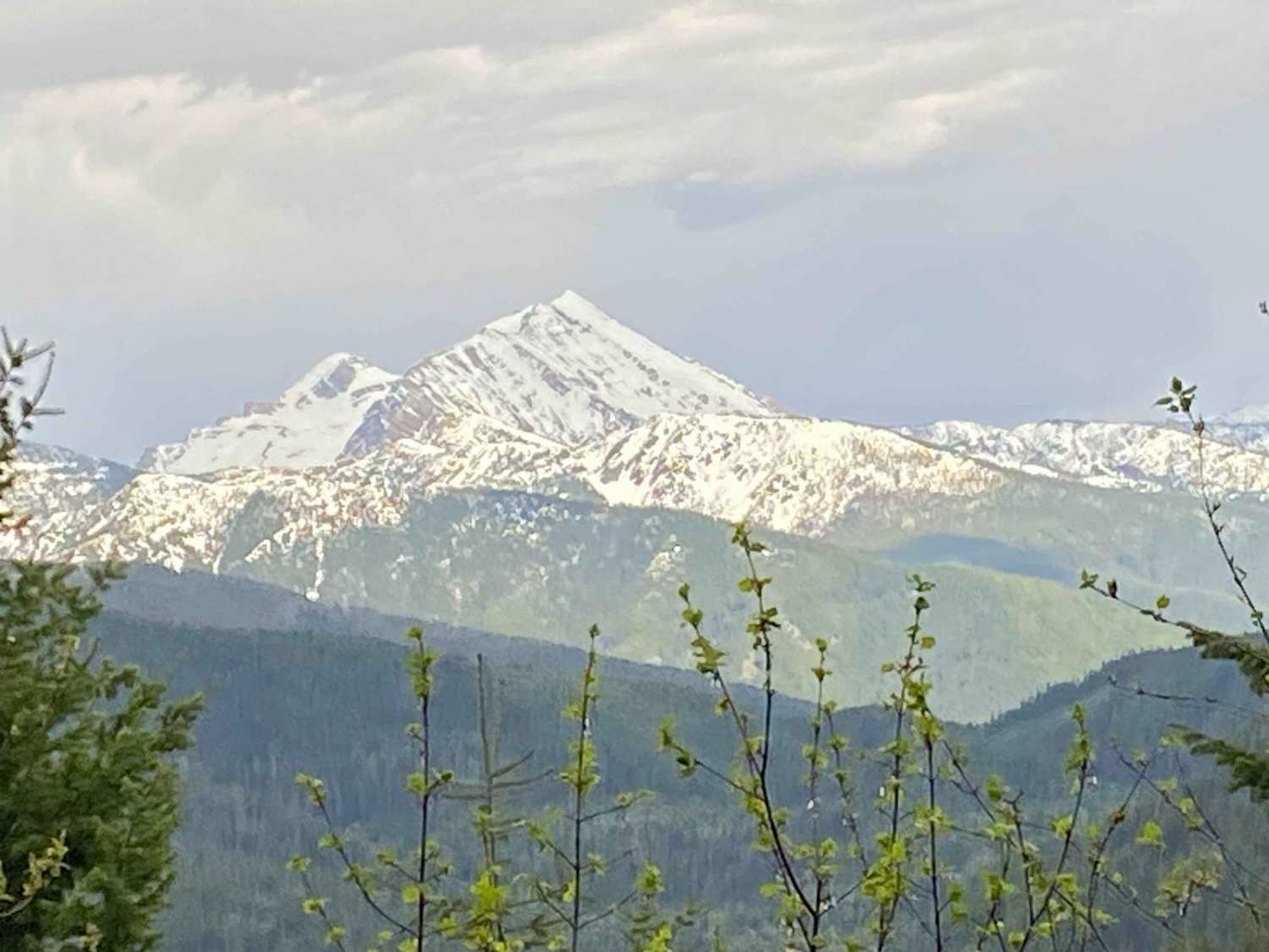
Emery Creek

Emery Creek

This is a beautiful drive into areas of dense woods, mountain creeks, and seasonal waterfalls, with up-close views of the Great Northern Mountain. In the spring, be aware of lingering snow and clay mud, as…
Learn more about Emery Creek
Total Miles
6.4
Tech Rating
2 Easy
Best Time
Summer, Spring, Fall
Learn more about Emery Creek Desert Leg
Emery Creek Desert Leg

Emery Creek Desert Leg

Take this fun cut across from Desert Mountain to Emery Creek through dense woods and you will be rewarded with up-close views of the Great Northern Mountain. In the spring, be aware of lingering snow…
Learn more about Emery Creek Desert Leg
Total Miles
3.7
Tech Rating
2 Easy
Best Time
Summer, Fall, Spring
Learn more about Erosion Excursion
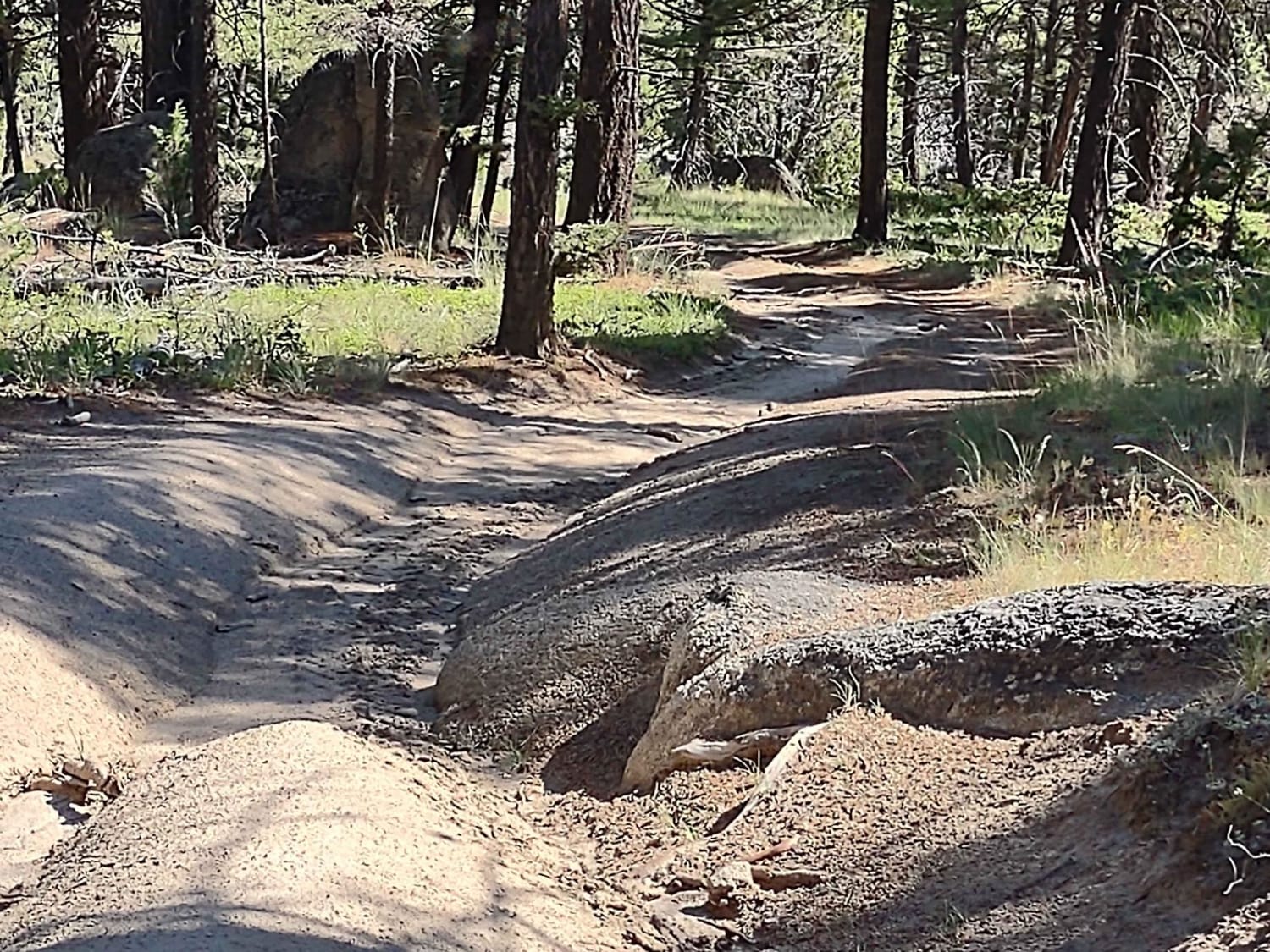
Erosion Excursion

Erosion Excursion

This trail is very accurately described in its name. Lots of erosion, off-camber, and easy inclines. It's 4.8 miles through a beautiful healthy forest. You do hit a little patch of downed timber, but 80%…
Learn more about Erosion Excursion
Total Miles
4.8
Tech Rating
4 Moderate
Best Time
Spring, Summer, Fall
Learn more about Ettien Ridge
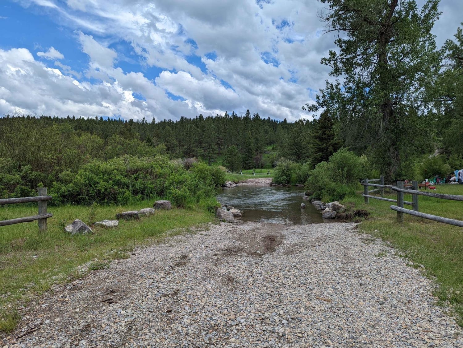
Ettien Ridge

Ettien Ridge

Open May 16 - Nov 30. The 2020 Helena-Lewis and Clark National Forest MVUM indicates the East portion of the trail is open May 16 - Nov 30, and the West portion of the trail…
Learn more about Ettien Ridge
Total Miles
12.0
Tech Rating
5 Moderate
Best Time
Summer, Fall
Learn more about Ettien Ridge Connector
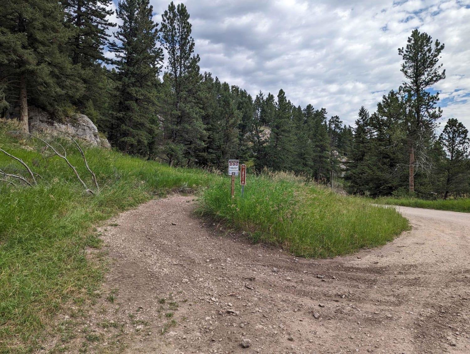
Ettien Ridge Connector

Ettien Ridge Connector

The Ettien Ridge Connector J821A runs between the main dirt road and Ettien Ridge Trail. Traveling from the dirt road to Ettien Ridge Trail, this connector trail has a few short steep uphill sections. There's…
Learn more about Ettien Ridge Connector
Total Miles
2.4
Tech Rating
4 Moderate
Best Time
Summer
Learn more about Eureka Basin Road (FS 347)
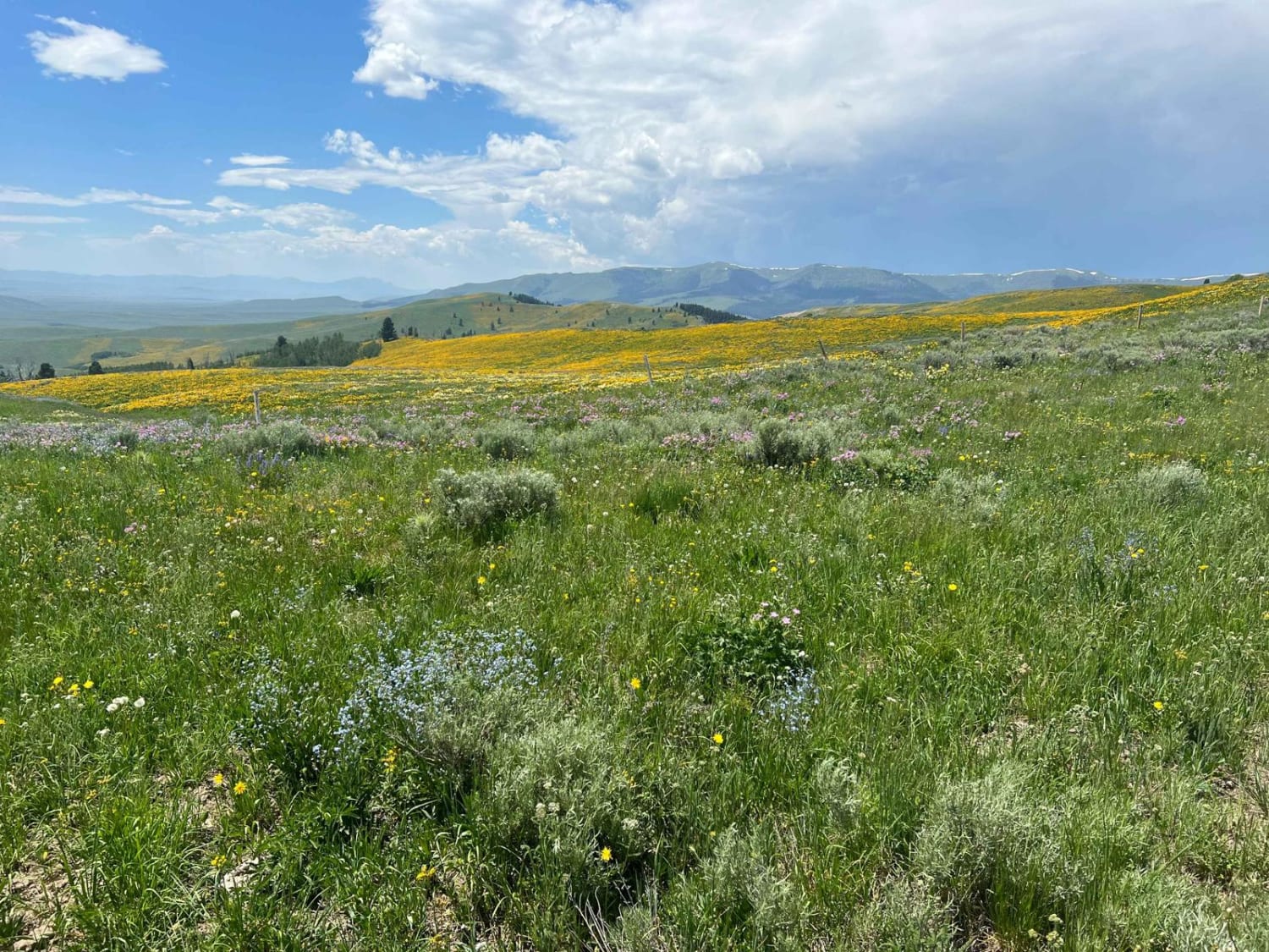
Eureka Basin Road (FS 347)

Eureka Basin Road (FS 347)

This road is actually a connector between Gravelly Range Road and Centennial Divide Road. Like Gravelly, this road has some spectacular views, and on the southern end, you will drop off the upper mesa at…
Learn more about Eureka Basin Road (FS 347)
Total Miles
5.3
Tech Rating
1 Easy
Best Time
Fall, Summer
Learn more about Fairy Creek - FS 500
Fairy Creek - FS 500

Fairy Creek - FS 500

Fairy Creek is an ATV Trail for vehicles 50" or less. It's also a snowmobile path after December 2. It leaves from the Battle Ridge dirt parking lot on the west side of Highway 86…
Learn more about Fairy Creek - FS 500
Total Miles
9.3
Tech Rating
3 Easy
Best Time
Summer, Fall
Learn more about Falling Down The Mountain
Falling Down The Mountain

Falling Down The Mountain

The trail steeply descends a narrow, windy, and rocky path through a dense pine forest towards the South Willow Creek drainage, Potosi Campground, and hot springs. The trail is narrow, windy, and rocky, with almost…
Learn more about Falling Down The Mountain
Total Miles
2.7
Tech Rating
5 Moderate
Best Time
Spring, Summer, Fall
Learn more about Ferry Basin Lookout Tower FB-3000
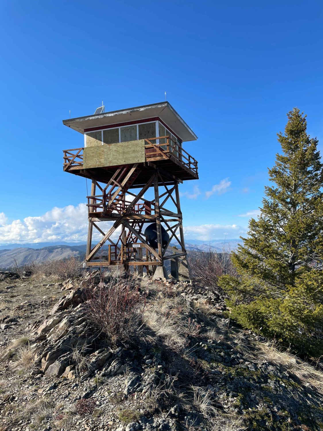
Ferry Basin Lookout Tower FB-3000

Ferry Basin Lookout Tower FB-3000

This mostly dirt road takes you to the Ferry Basin Lookout Tower from the south side of the mountain. On the way up, you will see the beautiful Mission Mountain Range with the Flathead River…
Learn more about Ferry Basin Lookout Tower FB-3000
Total Miles
6.1
Tech Rating
5 Moderate
Best Time
Summer, Fall
Learn more about Findell Creek
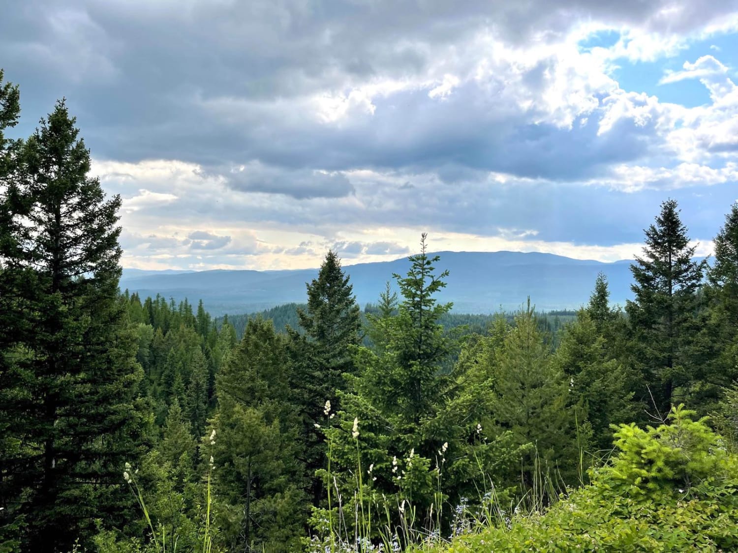
Findell Creek

Findell Creek

What a lush green way to head down the mountain. Wildflowers and green forest fly by in a blur as you head up or down this great connector trail. It's pretty narrow for a single…
Learn more about Findell Creek
Total Miles
3.8
Tech Rating
2 Easy
Best Time
Spring, Summer, Fall
Learn more about Finmore Cutover
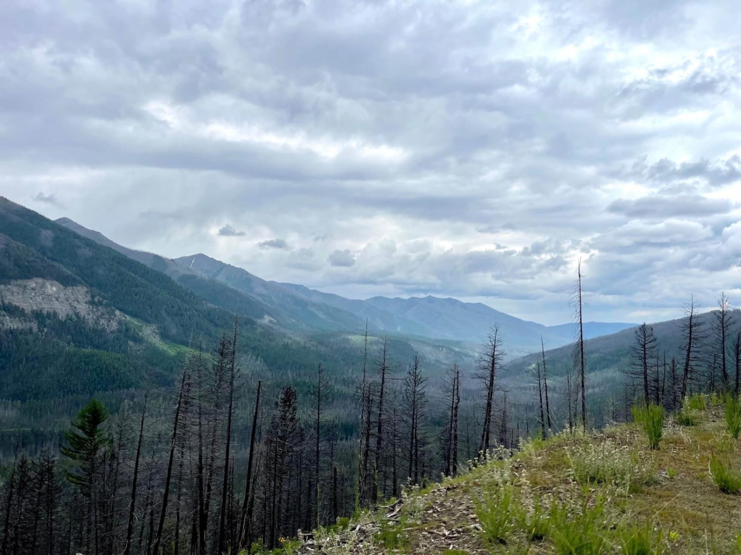
Finmore Cutover

Finmore Cutover

This trail is an excellent choice to pop over from the Valley and Morrell Clearwater side and climb to Rice Ridge. It's a short steep climb with a few switchbacks. Be sure to look across…
Learn more about Finmore Cutover
Total Miles
2.3
Tech Rating
3 Easy
Best Time
Spring, Summer, Fall
1 ... 5 6 7 8 9 10 11 12 13 14 ... 32

The onX Offroad Difference

onX Offroad combines trail photos, descriptions, difficulty ratings, width restrictions, seasonality, and more in a user-friendly interface. Available on all devices, with offline access and full compatibility with CarPlay and Android Auto. Discover what you’re missing today!