Off-Road Trails in Montana

Discover off-road trails in Montana

Learn more about Crow Creek
Crow Creek

Crow Creek

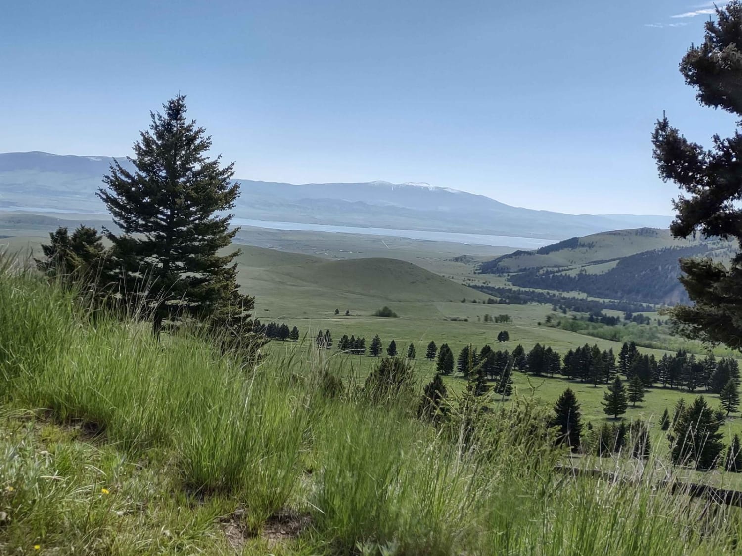
This 7-mile one-way trail cuts across the Helena National Forest by Glendale Butte and Big Mountain. It connects to Norris Gulch on the south end and Weasel Creek on the north end. You drive along…
Learn more about Crow Creek
Total Miles
6.8
Tech Rating
2 Easy
Best Time
Spring, Summer, Fall
Learn more about Daisy Creek
Daisy Creek

Daisy Creek

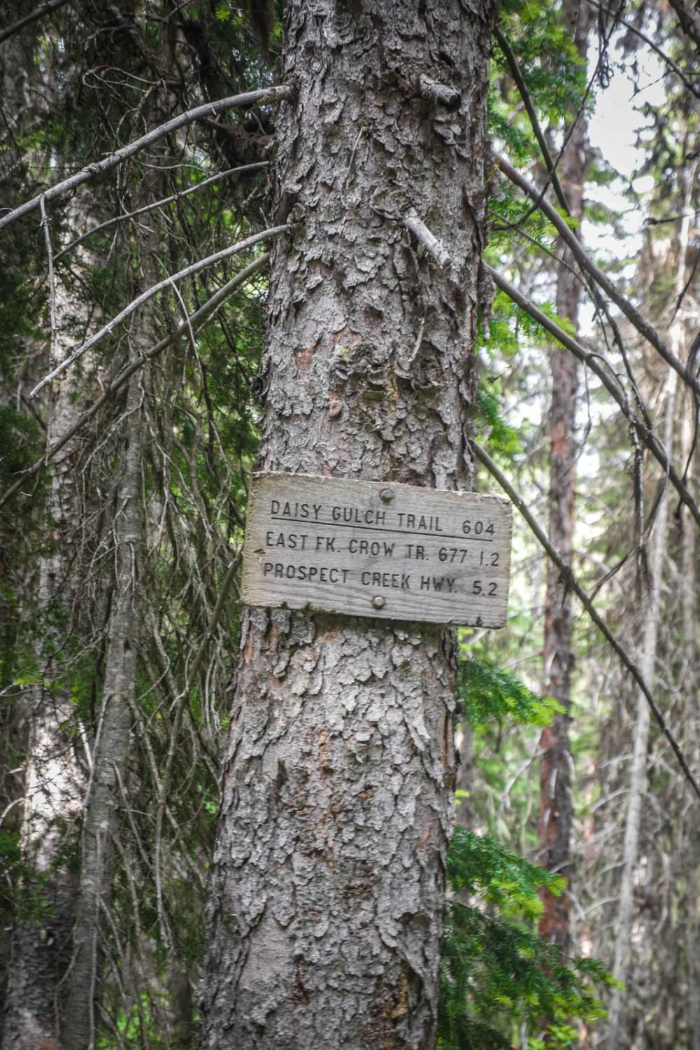
Daisy Creek is a really fun alpine single track in the Lolo National Forest in Montana. Most of its difficulty comes from really narrow sections of side-hilling with significant exposure across beautiful forested hillsides. The…
Learn more about Daisy Creek
Total Miles
5.3
Tech Rating
5 Moderate
Best Time
Fall, Summer, Spring
Learn more about Dalton Mountain Road
Dalton Mountain Road

Dalton Mountain Road

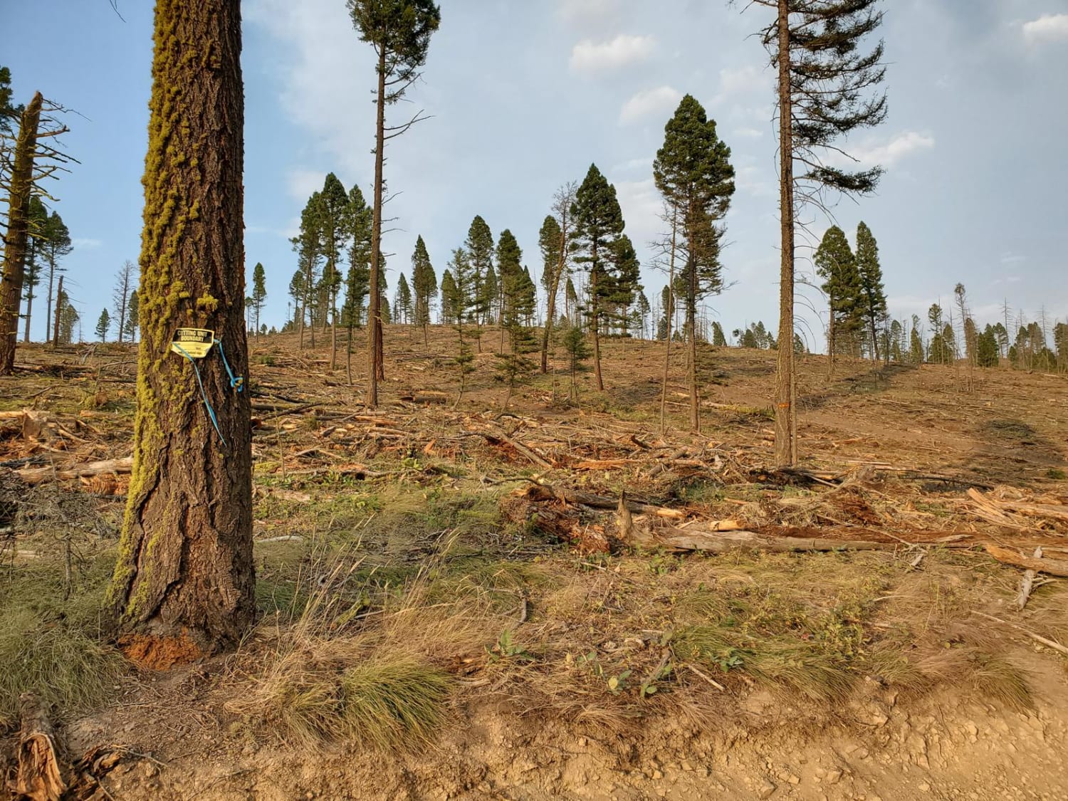
The Dalton is an especially fun and scenic logging road for all modes of travel. Most fun on a large-class ADV bike. Nothing inherently difficult, just fast and flowy, depending on the season. Depending on…
Learn more about Dalton Mountain Road
Total Miles
16.2
Tech Rating
2 Easy
Best Time
Spring, Summer, Fall
Learn more about Dead Horse Creek
Dead Horse Creek

Dead Horse Creek

The Dead Horse Creek trail is a dirt bike-only trail, but it is more like an old road for the entire route. It starts from a small dirt trailhead at the end of FS 136…
Learn more about Dead Horse Creek
Total Miles
3.2
Tech Rating
1 Easy
Best Time
Summer, Fall
Learn more about Dead Man Gulch
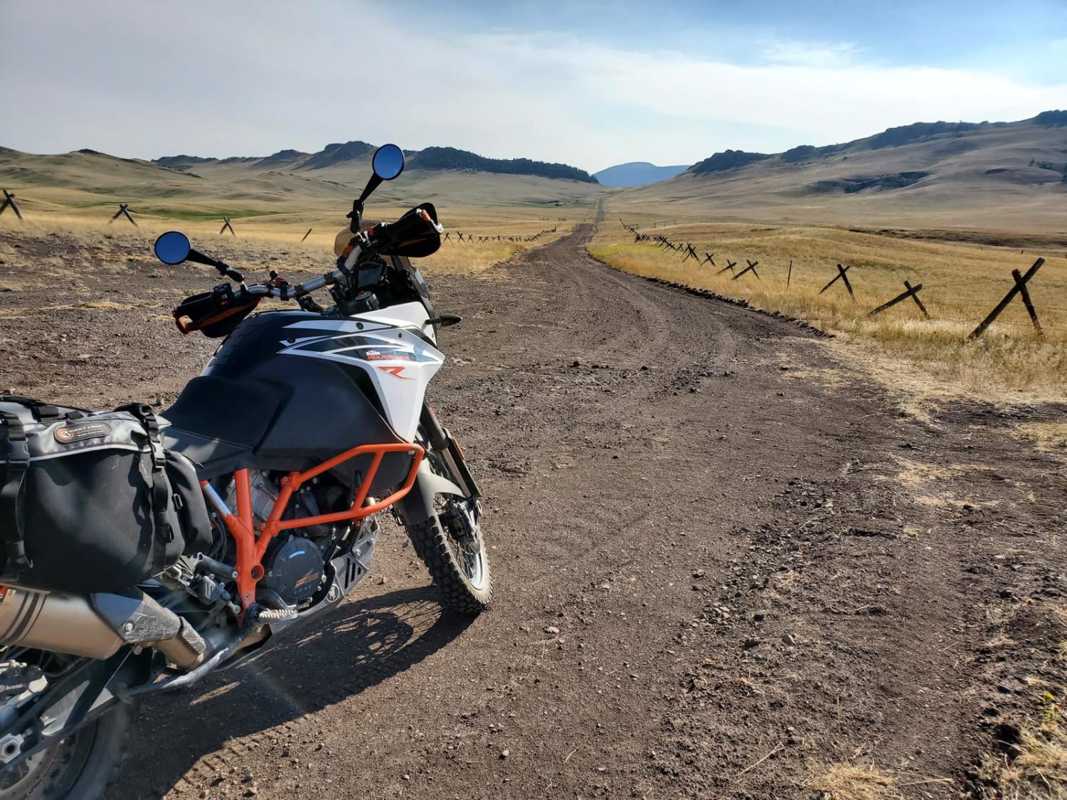
Dead Man Gulch

Dead Man Gulch

This is a fun ranch road, typically used as a connector to avoid pavement on a large ADV bike. It's a fast and flowy road on a bike, faster now that it's been recently graded.…
Learn more about Dead Man Gulch
Total Miles
5.1
Tech Rating
2 Easy
Best Time
Spring, Summer, Fall
Learn more about Deep Creek Road Spur Loop
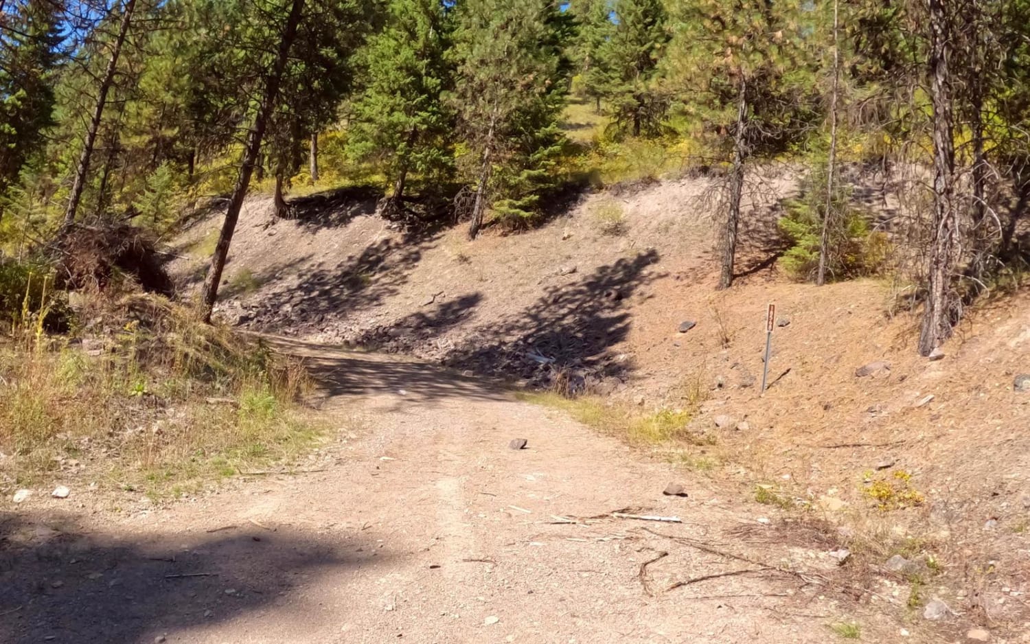
Deep Creek Road Spur Loop

Deep Creek Road Spur Loop

The route starts just off Deep Creek Road and is mainly loose gravel with quite a bit of loose rock along the way. The majority of the route is very narrow with little room to…
Learn more about Deep Creek Road Spur Loop
Total Miles
6.8
Tech Rating
4 Moderate
Best Time
Spring, Summer, Fall
Learn more about Deep Creek Road-Nemote Creek Road
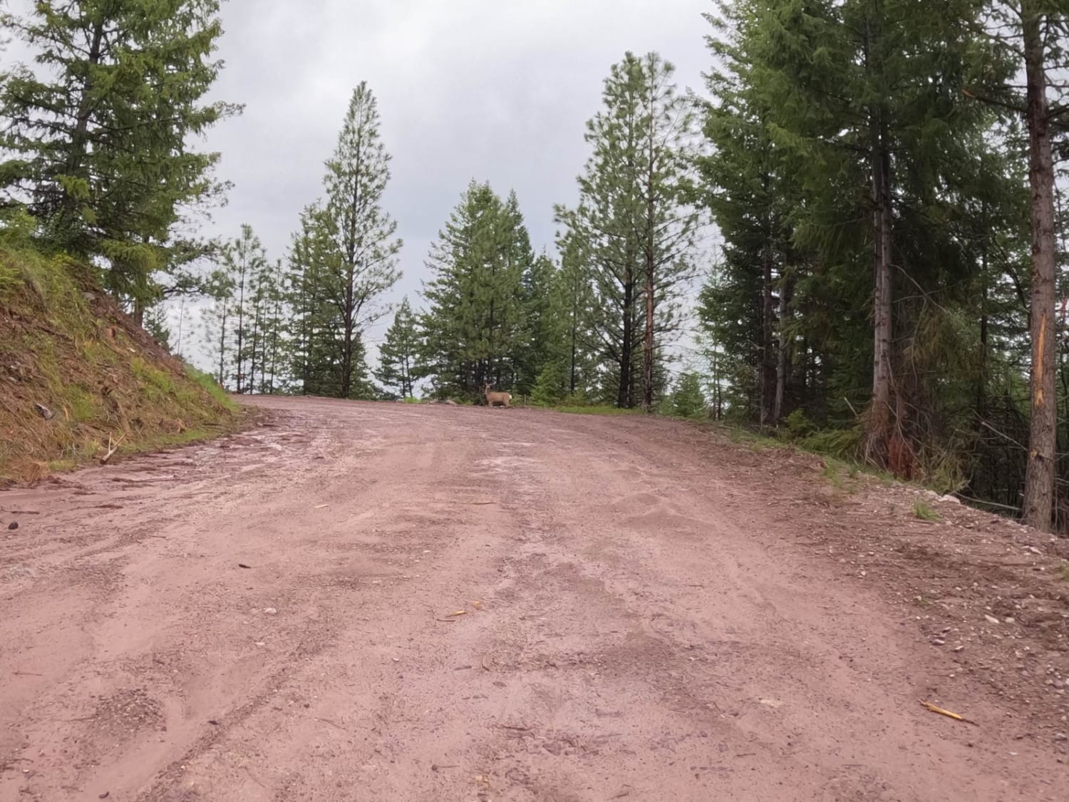
Deep Creek Road-Nemote Creek Road

Deep Creek Road-Nemote Creek Road

The route starts as a wide 2-lane road that passes mostly thru Forest land and some Cedar Groves. The road is mostly gravel, with some loose rock, and dirt. You will pass thru a small…
Learn more about Deep Creek Road-Nemote Creek Road
Total Miles
9.5
Tech Rating
2 Easy
Best Time
Spring, Summer, Fall
Learn more about Deer Mountain
Deer Mountain

Deer Mountain

This is a short offshoot of the North Fork Rye Road that almost takes you to the Deer Mountain lookout tower. Unfortunately, there is a gate about a half mile from the lookout tower, so…
Learn more about Deer Mountain
Total Miles
3.1
Tech Rating
1 Easy
Best Time
Summer, Fall
Learn more about Denver Ridge
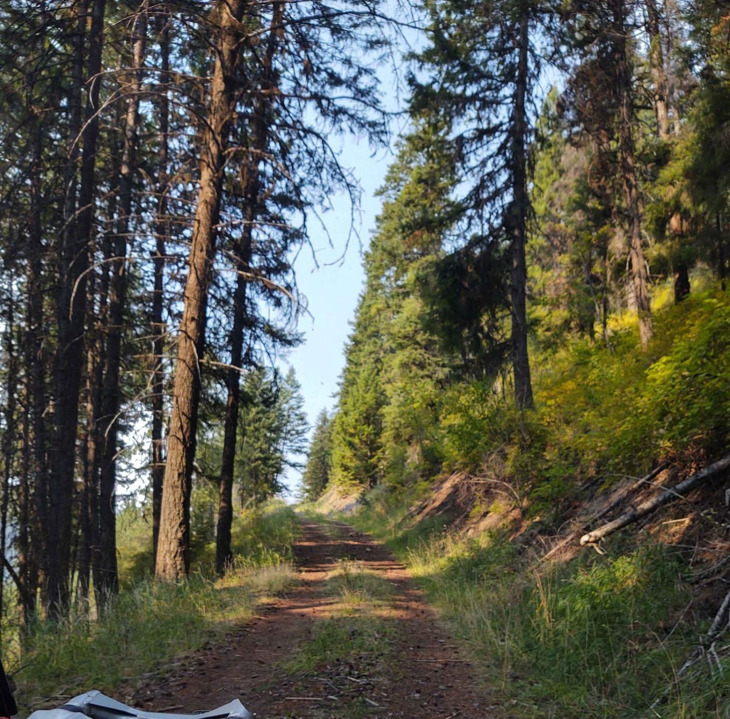
Denver Ridge

Denver Ridge

This 10-mile RT track goes from Clear Creek Trail up to just over 4000 feet in the Lolo National Forest. There is room to let another vehicle pass on some of the corners. All private…
Learn more about Denver Ridge
Total Miles
5.2
Tech Rating
2 Easy
Best Time
Spring, Summer, Fall
Learn more about Desert Mountain
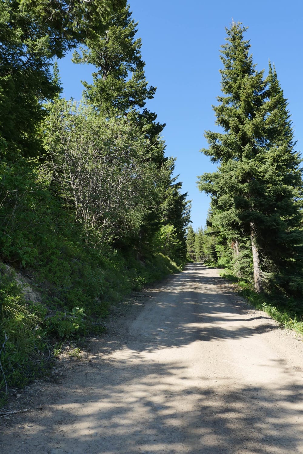
Desert Mountain

Desert Mountain

This is a scenic road that leads to the top of Desert Mountain where you can get a spectacular nearly 240 degree view of the surrounding area at an elevation of 6,415. There is also…
Learn more about Desert Mountain
Total Miles
8.8
Tech Rating
3 Easy
Best Time
Spring, Summer, Fall
Learn more about Devil's Canyon
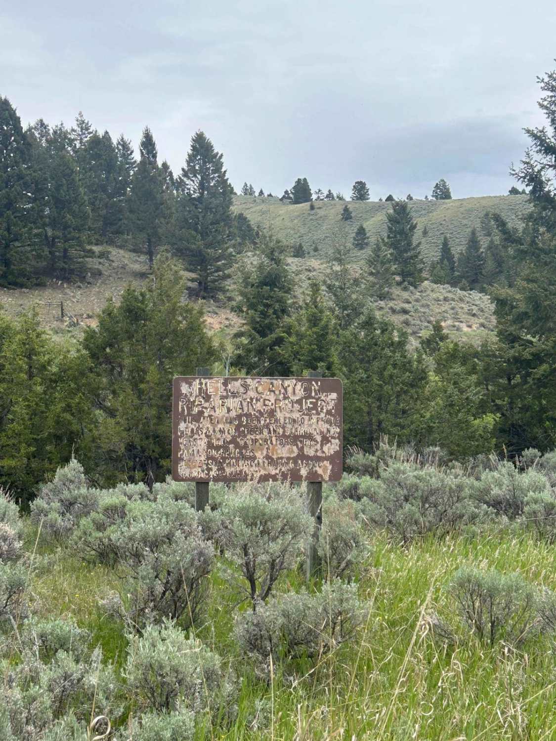
Devil's Canyon

Devil's Canyon

A popular fishing spot at the beginning of the road, it passes through many private plots of land and leads into National Forest and BLM land. There are a couple of camping spots along the…
Learn more about Devil's Canyon
Total Miles
15.6
Tech Rating
1 Easy
Best Time
Fall, Summer
Learn more about Divide Cutoff Road
Divide Cutoff Road

Divide Cutoff Road

From the Plains and Hot Springs intersection cutoff, this gravel road takes you along the high ridge running in a north/south direction. There are several offshoots from this section if one is willing to explore…
Learn more about Divide Cutoff Road
Total Miles
4.4
Tech Rating
2 Easy
Best Time
Spring, Summer, Fall
Learn more about Divide NRT (Ax Park to Butcher Knife)
Divide NRT (Ax Park to Butcher Knife)

Divide NRT (Ax Park to Butcher Knife)

This is about a 5-mile segment of the Divide NRT Single Track that goes between the Butcher Knife and Ax Park trails. This segment has steep slopes and is full of embedded cobble, making for…
Learn more about Divide NRT (Ax Park to Butcher Knife)
Total Miles
4.5
Tech Rating
5 Moderate
Best Time
Spring, Summer, Fall
Learn more about Double Arrow Lookout Tower
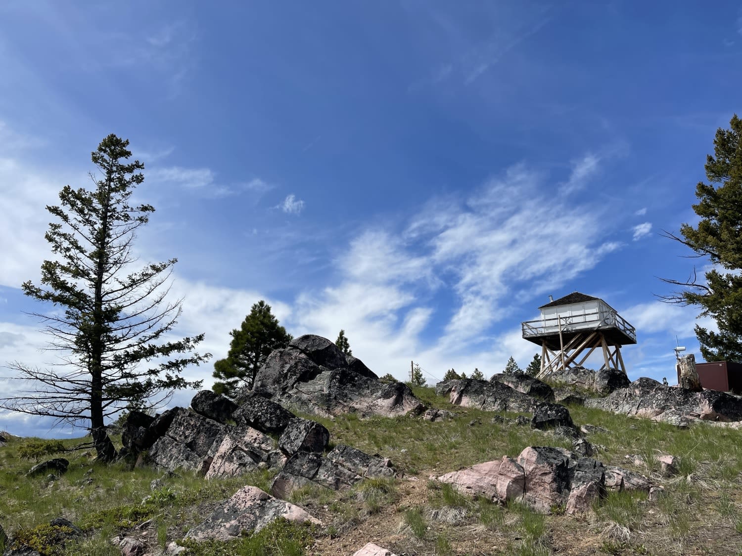
Double Arrow Lookout Tower

Double Arrow Lookout Tower

This short, scenic climb leads to a locked gate and a brief 1/4 mile hike to the lookout tower. You could take the road up, but the hiking trail offers excellent views of the surrounding…
Learn more about Double Arrow Lookout Tower
Total Miles
1.1
Tech Rating
3 Easy
Best Time
Fall, Summer, Spring
Learn more about Drop Tube Part 1
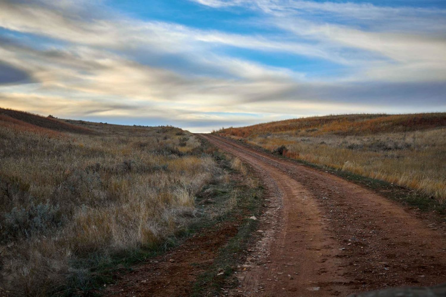
Drop Tube Part 1

Drop Tube Part 1

Drop Tube Trail is a rolling single track through large open fields of the Custer National Forest. With beautiful open vistas and large meadows, the views are incredible. On this trail there are no obstacles…
Learn more about Drop Tube Part 1
Total Miles
3.8
Tech Rating
2 Easy
Best Time
Spring, Summer, Fall
Learn more about Drop Tube Part 2
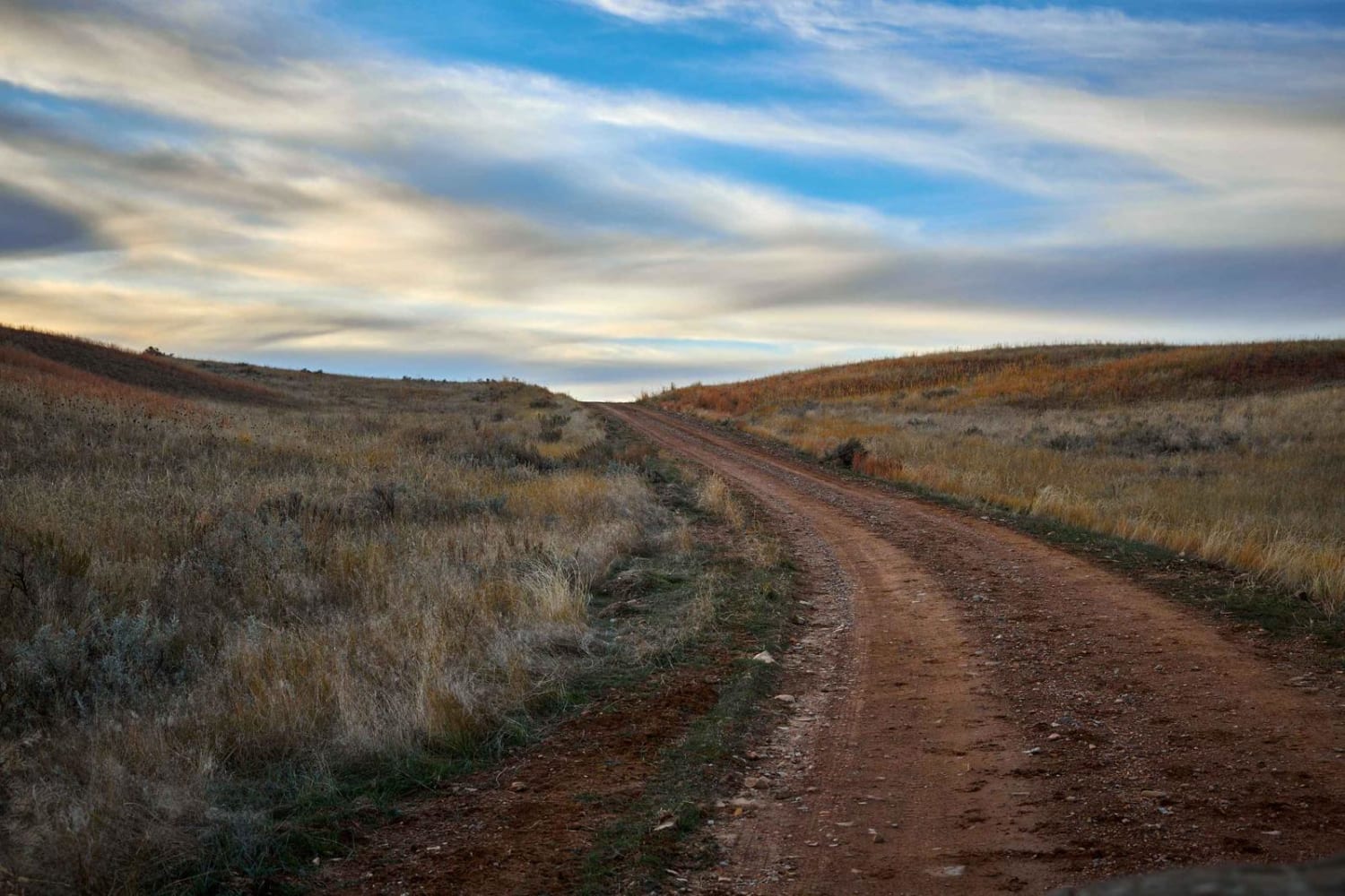
Drop Tube Part 2

Drop Tube Part 2

Drop Tube Trail is a rolling single track through large open fields of the Custer National Forest. With beautiful open vistas and large meadows, the views are incredible. On this trail, there are no obstacles…
Learn more about Drop Tube Part 2
Total Miles
1.8
Tech Rating
2 Easy
Best Time
Spring, Summer, Fall
Learn more about Dunham Creek
Dunham Creek

Dunham Creek

This well-maintained out-and-back trail is a pure treat to drive. Unfortunately, there was a large wildfire that swept through the canyon. But the views it left behind are spectacular. Rocky hillsides, waterfalls and creeks flowing.…
Learn more about Dunham Creek
Total Miles
8.6
Tech Rating
2 Easy
Best Time
Summer, Fall
Learn more about Eagle Nest River Access
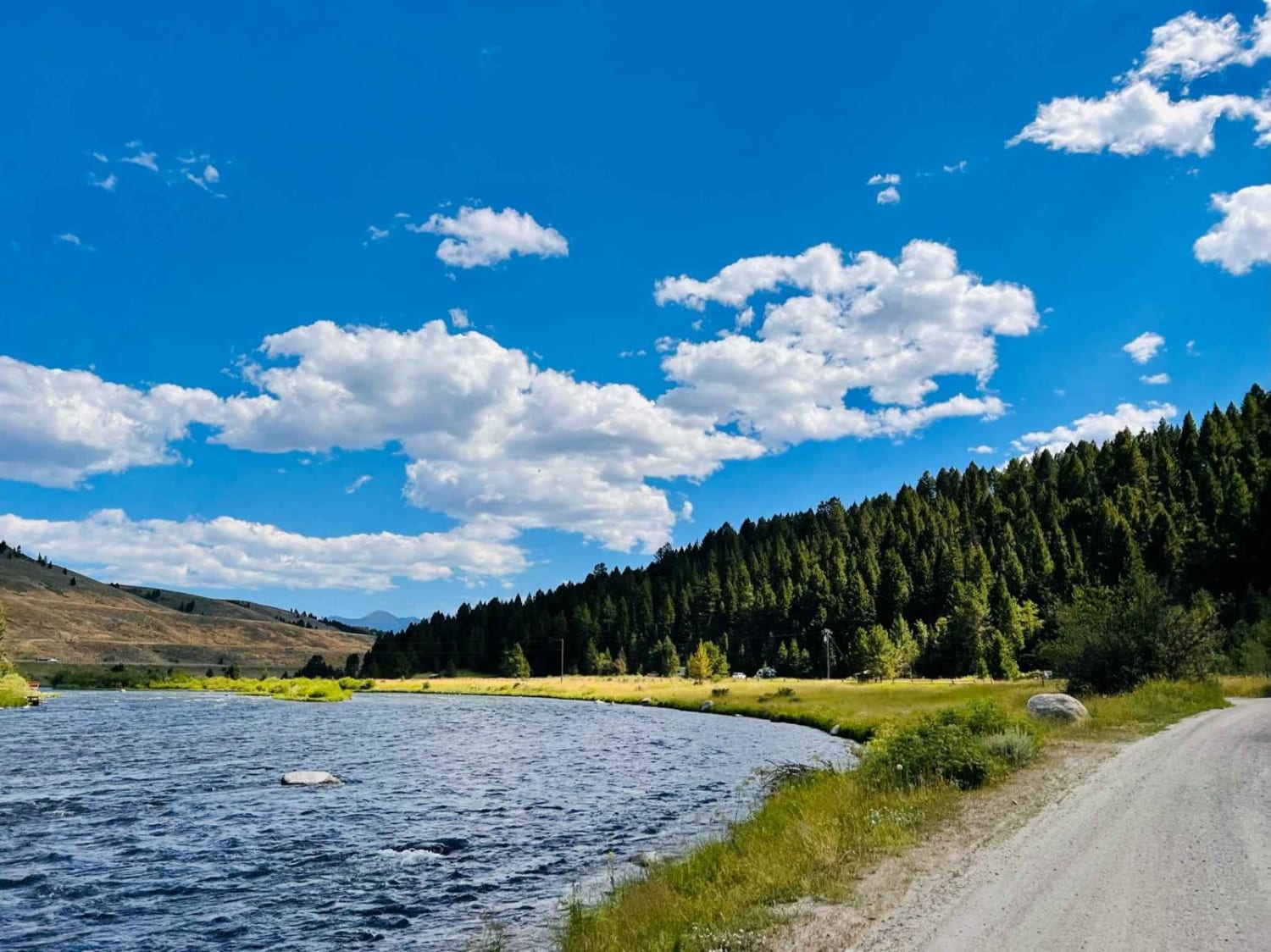
Eagle Nest River Access

Eagle Nest River Access

This is a nice out-and-back dirt and gravel trail to the Eagle Nest day-use area with access to the Madison River. There is also a day-use river access spot at the beginning of the trail…
Learn more about Eagle Nest River Access
Total Miles
1.9
Tech Rating
2 Easy
Best Time
Fall, Summer, Spring
Learn more about East Basin Road CW 2078
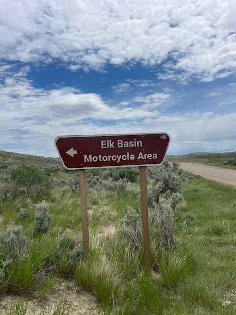
East Basin Road CW 2078

East Basin Road CW 2078

This road cuts right through the Elk Basin Motorcycle Area, so be aware of little kids on motorcycles and four-wheelers. The first three miles of this road are easy, but the last two are what…
Learn more about East Basin Road CW 2078
Total Miles
5.0
Tech Rating
3 Easy
Best Time
Spring, Summer, Fall
Learn more about East Bench (FS 8378)
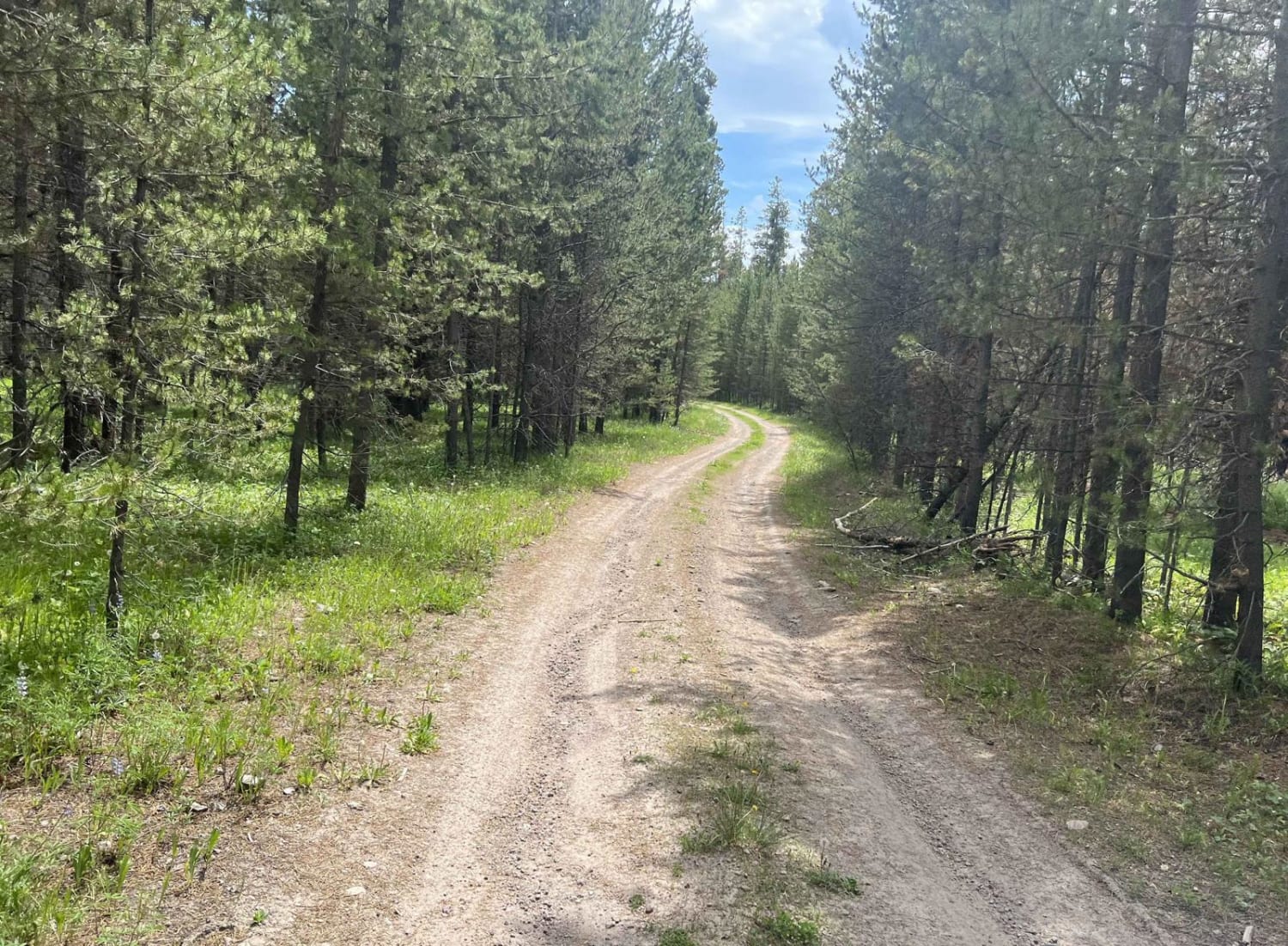
East Bench (FS 8378)

East Bench (FS 8378)

If you are looking for a short trail with mind-blowing views at the end, this is it. We almost didn't take it but decided to see where it led. This trail puts you directly above…
Learn more about East Bench (FS 8378)
Total Miles
4.1
Tech Rating
1 Easy
Best Time
Summer, Fall
1 ... 4 5 6 7 8 9 10 11 12 13 ... 32

The onX Offroad Difference

onX Offroad combines trail photos, descriptions, difficulty ratings, width restrictions, seasonality, and more in a user-friendly interface. Available on all devices, with offline access and full compatibility with CarPlay and Android Auto. Discover what you’re missing today!