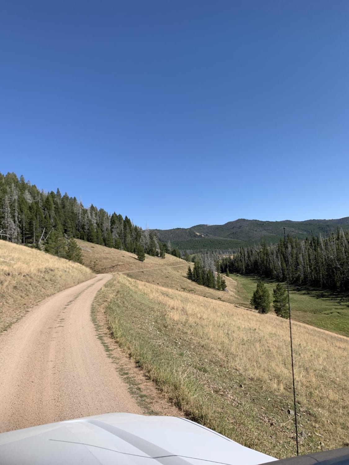
Off-Road Trails in Montana

Discover off-road trails in Montana

Learn more about Cedar Creek Road - Oregon Lakes
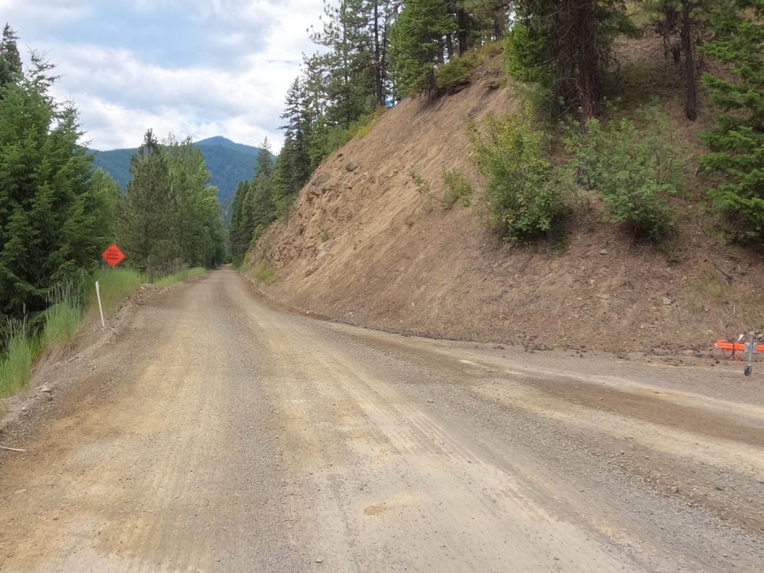
Cedar Creek Road - Oregon Lakes

Cedar Creek Road - Oregon Lakes

The route begins on a hard-packed dirt-gravel road from Superior. The road is mainly two lanes with plenty of room to pass for the first 21 miles and slowly narrows to one lane with room…
Learn more about Cedar Creek Road - Oregon Lakes
Total Miles
18.1
Tech Rating
1 Easy
Best Time
Spring, Summer, Fall, Winter
Learn more about Cedar Run Ridge
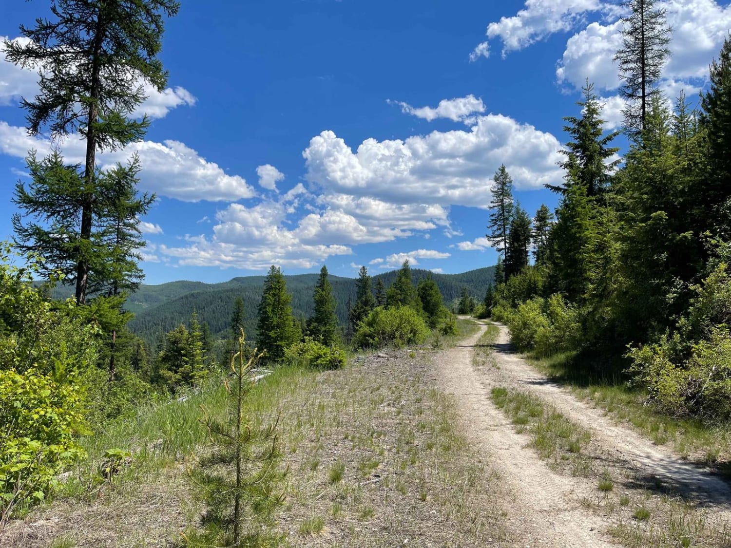
Cedar Run Ridge

Cedar Run Ridge

If you love a trail with non-stop twists and turns but no significant elevation change, this is the one for you. This easy connector trail runs right along the ridgeline far above Highway 12, with…
Learn more about Cedar Run Ridge
Total Miles
13.1
Tech Rating
2 Easy
Best Time
Fall, Summer, Spring
Learn more about Centennial Divide
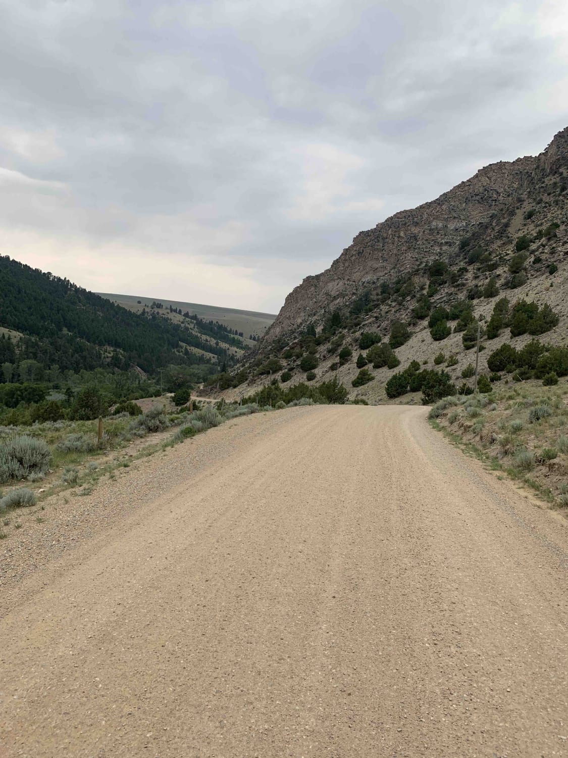
Centennial Divide

Centennial Divide

This easy and scenic route connects Montana's Centennial Valley and Ruby River Reservoir. Along its path, you'll pass a well-known bison ranch, trace portions of the Ruby River, and spend most of your trip flanked…
Learn more about Centennial Divide
Total Miles
57.1
Tech Rating
1 Easy
Best Time
Summer
Learn more about Champion Pass
Champion Pass

Champion Pass

This trail is a slightly more challenging route from Interstate 90 east, over the continental Divide at Champion Pass. The easier route begins near Deer Lodge and meets this one at Orofino campground. After exiting…
Learn more about Champion Pass
Total Miles
25.5
Tech Rating
3 Moderate
Best Time
Summer
Learn more about Chipmunk Creek
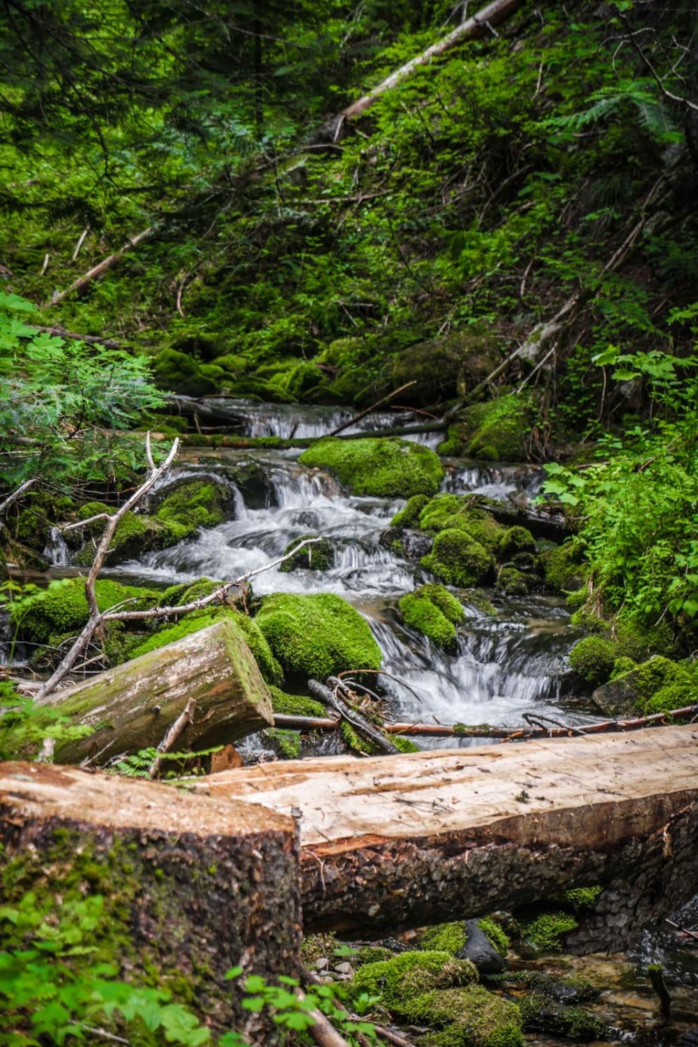
Chipmunk Creek

Chipmunk Creek

Chipmunk Creek is a challenging single track in the Lolo National Forest in Montana right near the state line with Idaho. The north end starts from an ATV trail off of Cooper Pass, and has…
Learn more about Chipmunk Creek
Total Miles
1.8
Tech Rating
8 Difficult
Best Time
Fall, Summer, Spring
Learn more about Cinnamon Buck
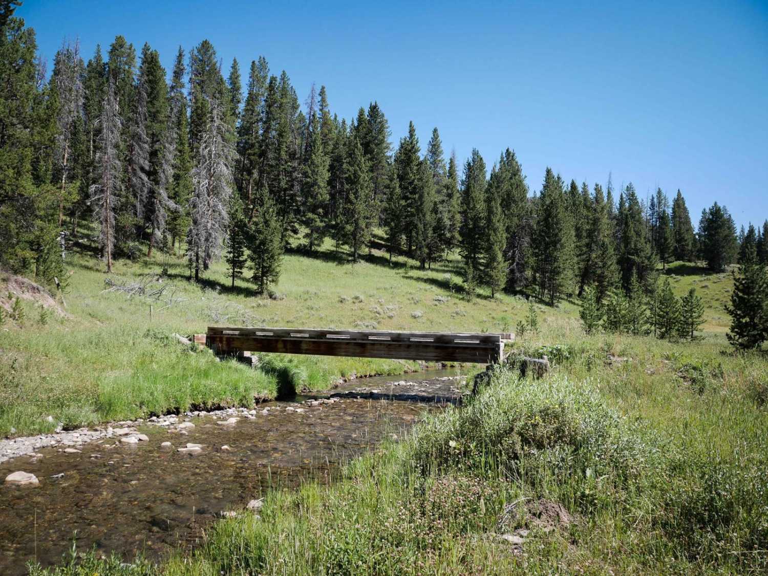
Cinnamon Buck

Cinnamon Buck

Cinnamon Buck starts on the south end after a short piece of road after the Cinnamon Meadow trail. It goes for 6.4 miles until it gets to the Buck Ridge ATV Trail. It drops down…
Learn more about Cinnamon Buck
Total Miles
6.3
Tech Rating
4 Moderate
Best Time
Summer, Fall
Learn more about Cinnamon Meadow
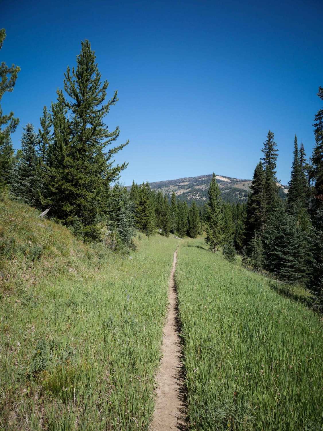
Cinnamon Meadow

Cinnamon Meadow

Cinnamon Meadow starts at the intersection with Dead Horse Creek and Lizard Lakes and goes north for 1.3 miles and connects to Cinnamon Buck. The trail mostly descends for the 1.3 miles, with the steepest…
Learn more about Cinnamon Meadow
Total Miles
1.3
Tech Rating
3 Easy
Best Time
Summer, Fall
Learn more about Cinnamon Trail
Cinnamon Trail

Cinnamon Trail

The Cinnamon Trail starts on the east end at the Cinnamon Creek Trailhead. It climbs up into aspen trees through beautiful meadows, on a fast and flowy single track that is smooth and narrow. There…
Learn more about Cinnamon Trail
Total Miles
5.2
Tech Rating
4 Moderate
Best Time
Summer, Fall
Learn more about Clairmont
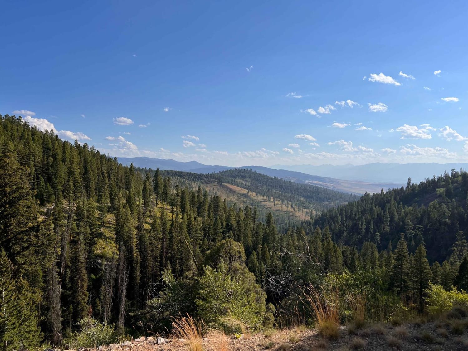
Clairmont

Clairmont

This out and back starts with decent-sized potholes and dense trees and then opens up to amazing cliffsides with epic views. There are hardly any places to pass oncoming, and no camping spots were noticed…
Learn more about Clairmont
Total Miles
6.1
Tech Rating
2 Easy
Best Time
Fall, Summer, Spring
Learn more about Clancy Creek Road
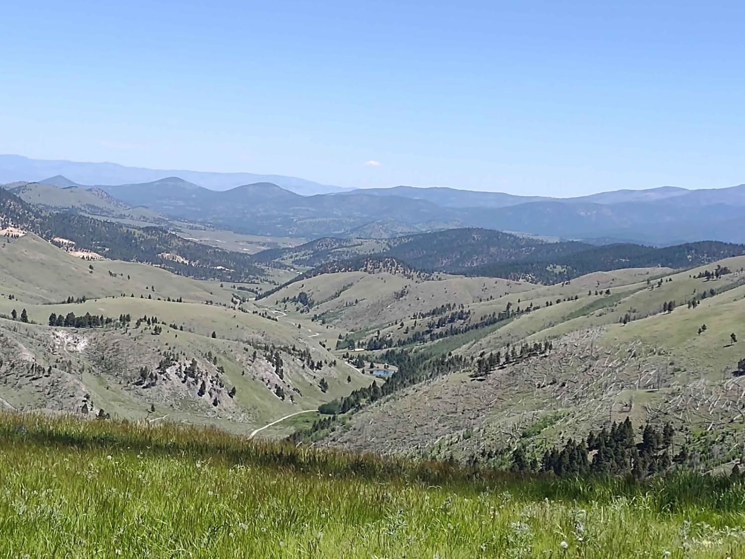
Clancy Creek Road

Clancy Creek Road

Clancy Creek Road takes you from Mina Gulch/Between Gulch west a little further into the Helena National Forest. If you follow it further than our track, you pass the Crawley Camp Mine and get an…
Learn more about Clancy Creek Road
Total Miles
0.9
Tech Rating
2 Easy
Best Time
Spring, Summer, Fall
Learn more about Clear Creek
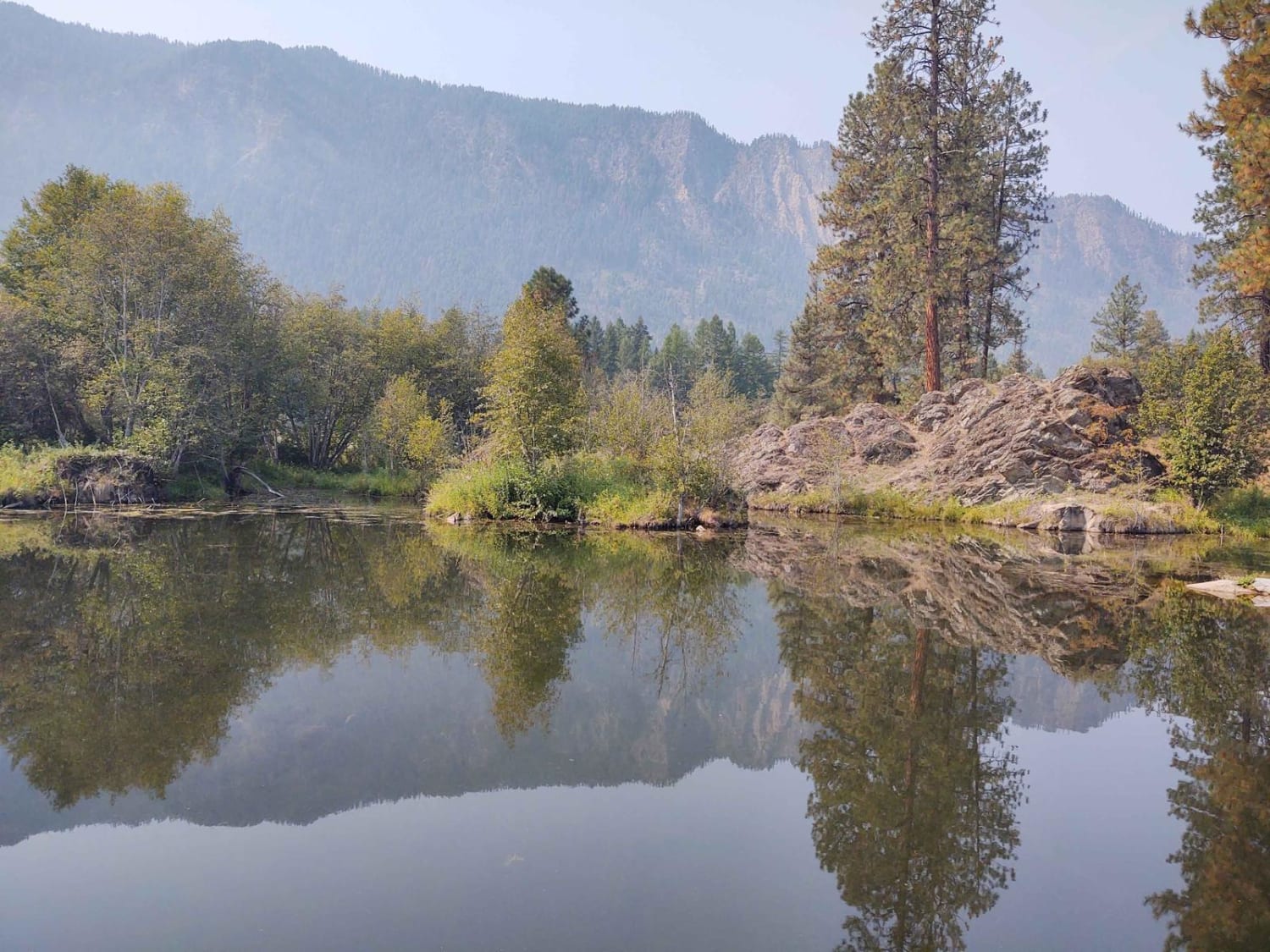
Clear Creek

Clear Creek

This 5-mile portion of Clear Creek Trail takes you from Prospect Creek Road near Thompson Falls, MT, into the high country of the Lolo National Forest. If you follow Clear Creek beyond where our track…
Learn more about Clear Creek
Total Miles
5.2
Tech Rating
2 Easy
Best Time
Spring, Summer, Fall
Learn more about Clearwater Canoe Put In Trail
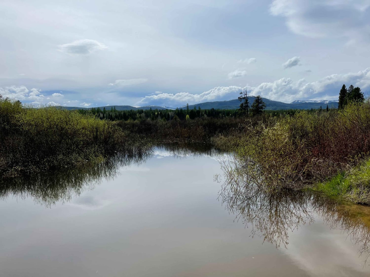
Clearwater Canoe Put In Trail

Clearwater Canoe Put In Trail

This easy graded trail leads to the fantastic Clearwater Canoe float trail. Put in there for a fantastic float down to the north end of Seely lake. The trail is easy, but please be respectful…
Learn more about Clearwater Canoe Put In Trail
Total Miles
0.7
Tech Rating
2 Easy
Best Time
Fall, Summer, Spring
Learn more about Cliff Creek Trail
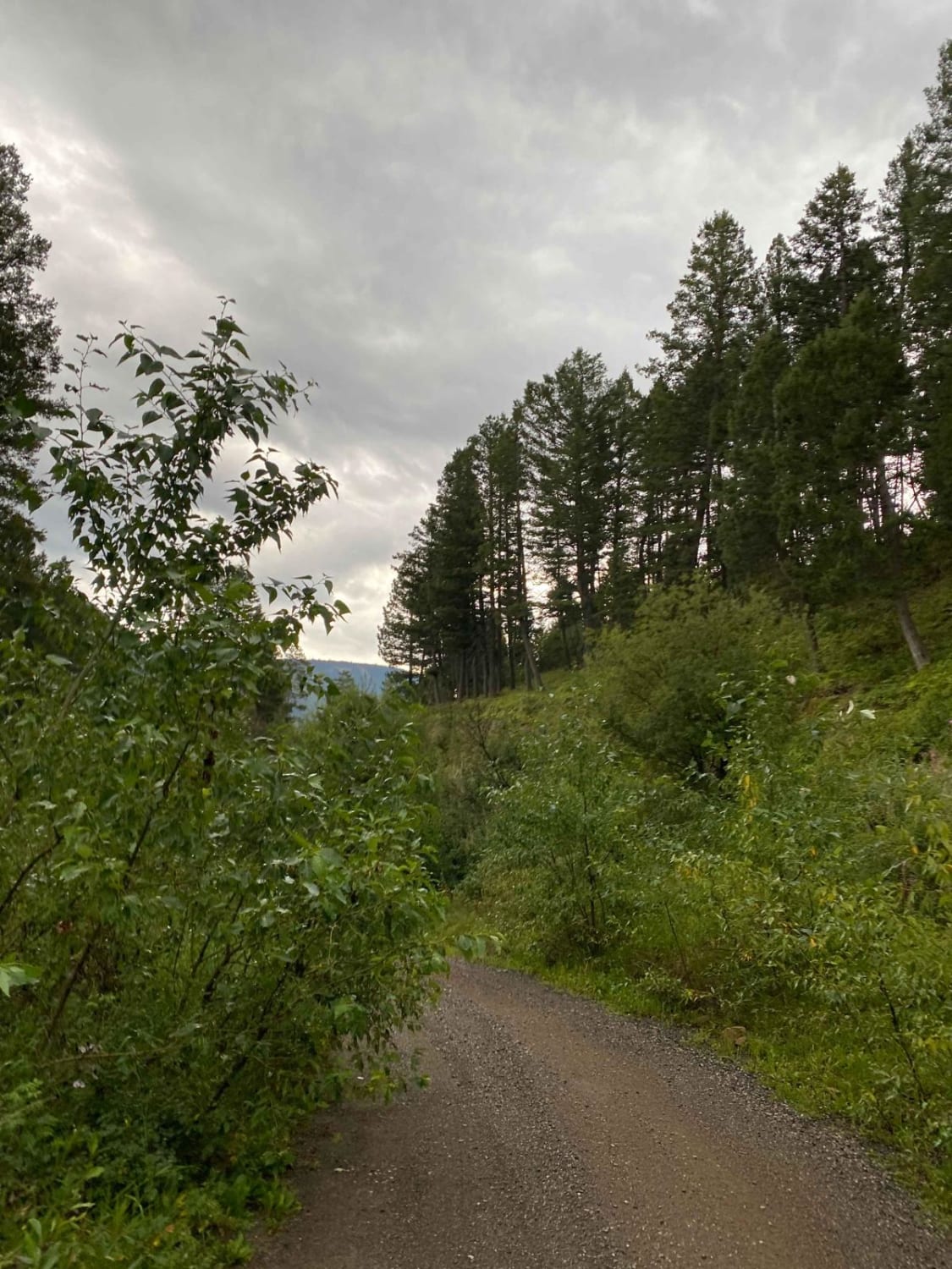
Cliff Creek Trail

Cliff Creek Trail

This is a moderately quick and simple dirt road turn-off from the main Little Bear Road. There are no technical parts or anywhere that really even calls for high ground clearance. There is no shortage…
Learn more about Cliff Creek Trail
Total Miles
1.7
Tech Rating
2 Easy
Best Time
Summer, Spring
Learn more about Cliff Lake Trail
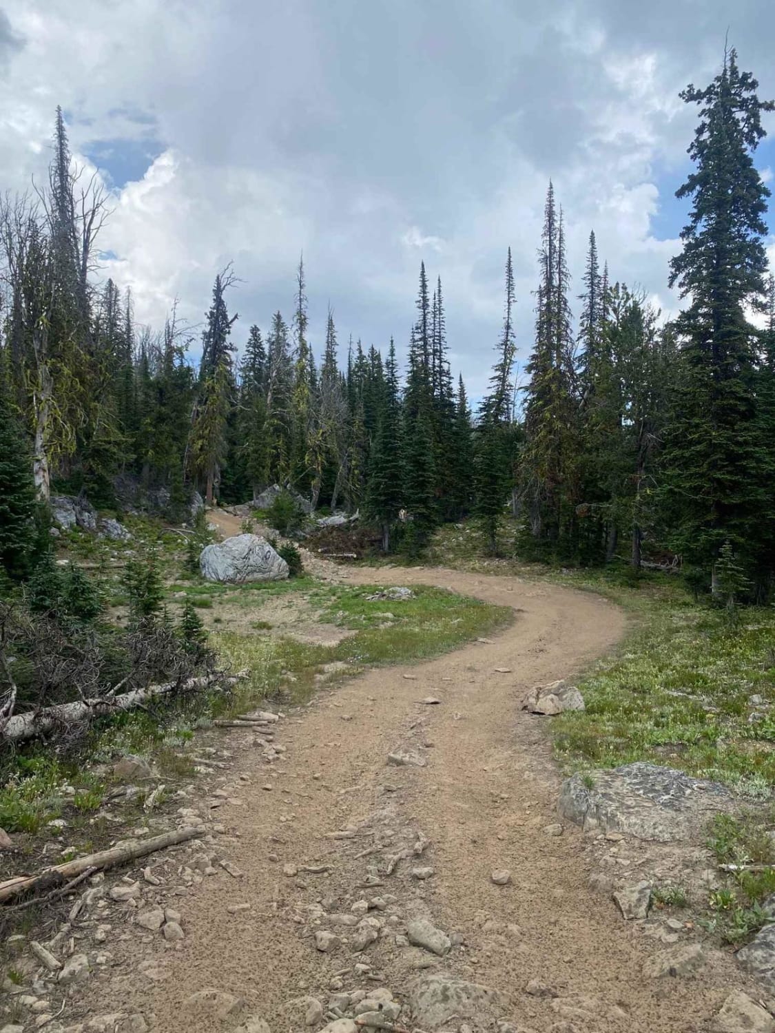
Cliff Lake Trail

Cliff Lake Trail

This is a very short trail to Cliff Lake at the top of the McKelvey Lake Trail and accessed from Mine Lake. Although short, the lake is absolutely worth seeing and the fishing is great.…
Learn more about Cliff Lake Trail
Total Miles
0.4
Tech Rating
3 Easy
Best Time
Summer, Fall
Learn more about Coal Creek
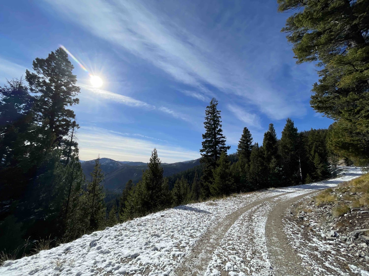
Coal Creek

Coal Creek

This is an easy trail into the mountains with a few side trails. There are a few dispersed camping spots scattered around. The trail is generally easy with plentiful pullouts for oncoming traffic and ends…
Learn more about Coal Creek
Total Miles
7.1
Tech Rating
2 Easy
Best Time
Fall, Summer, Spring
Learn more about Coal Creek ATV/UTV
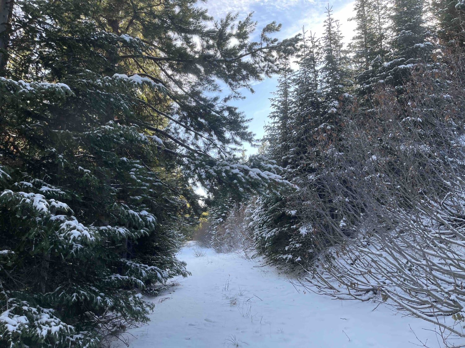
Coal Creek ATV/UTV

Coal Creek ATV/UTV

The narrow trail is an out and back. Beautiful views of the surrounding mountains and valleys as you head up. Probably a good area for hunting. Saw deer and rabbit and coyote tracks. The road…
Learn more about Coal Creek ATV/UTV
Total Miles
1.4
Tech Rating
3 Easy
Best Time
Summer, Fall, Spring
Learn more about Coal Creek Offshoot
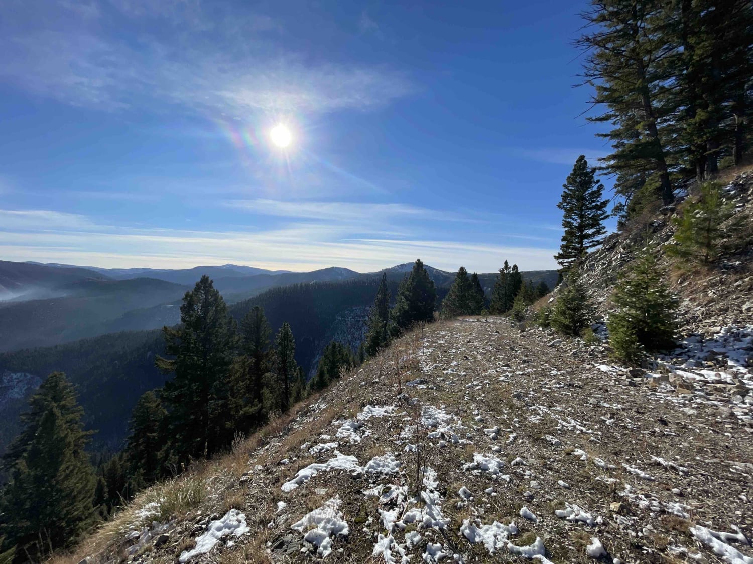
Coal Creek Offshoot

Coal Creek Offshoot

A narrow, one-lane, seldom traveled trail that runs along the ridge. Very narrow and almost no pullouts. No real camping unless you camp in the road near the end. The trail is becoming incredibly overgrown,…
Learn more about Coal Creek Offshoot
Total Miles
1.2
Tech Rating
3 Easy
Best Time
Fall, Summer, Spring
Learn more about Coal Creek to Blue Joint
Coal Creek to Blue Joint

Coal Creek to Blue Joint

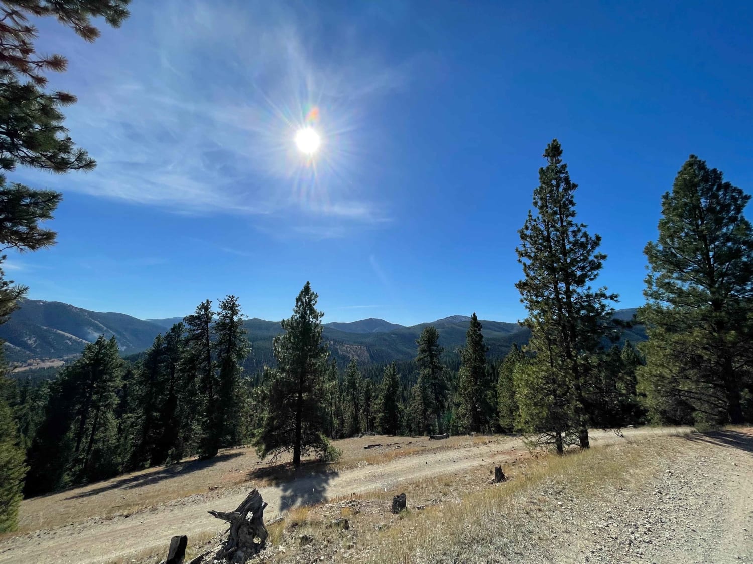
Great crossover trail from Coal Creek to Blue Joint. The trail heads up into the hills with great views of the surrounding mountains and valleys. Not very many pullouts for oncoming traffic and not a…
Learn more about Coal Creek to Blue Joint
Total Miles
6.7
Tech Rating
2 Easy
Best Time
Fall, Summer, Spring
Learn more about Coal Creek to Dead Horse #317
Coal Creek to Dead Horse #317

Coal Creek to Dead Horse #317

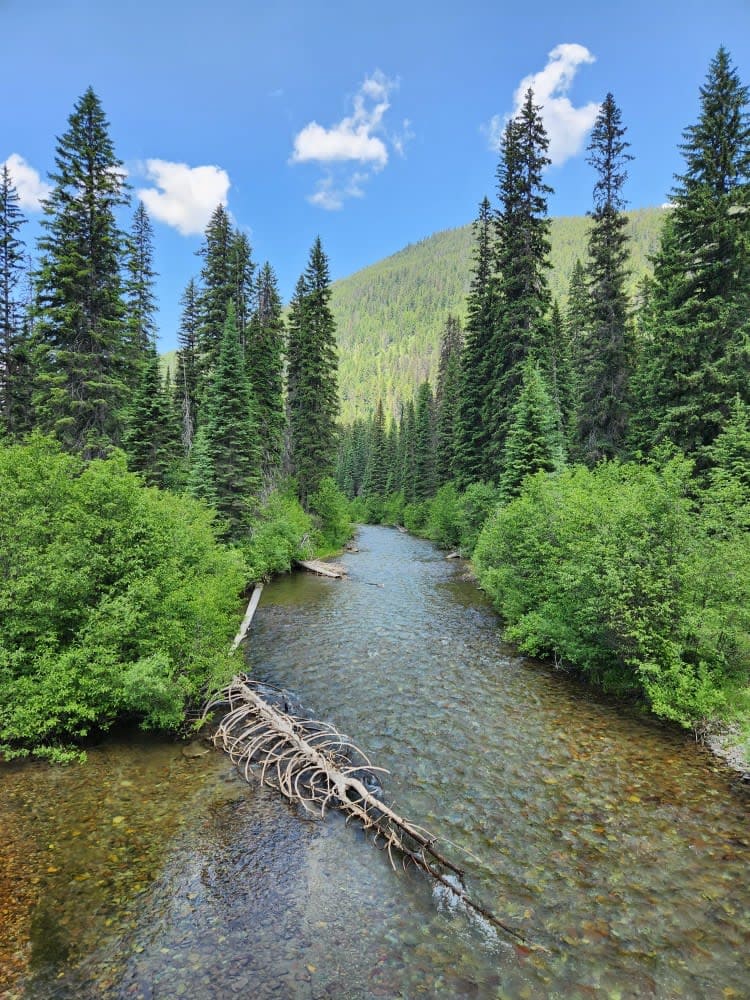
Unmaintained gravel road through state forest with many cutoff roads/trails that go along with this area. Narrow bridge crossings and plenty of washboard rough spots increase the time it takes to go the little over…
Learn more about Coal Creek to Dead Horse #317
Total Miles
8.8
Tech Rating
2 Easy
Best Time
Summer, Fall
Learn more about Cobden Point Lookout (FSR 9907)
Cobden Point Lookout (FSR 9907)

Cobden Point Lookout (FSR 9907)

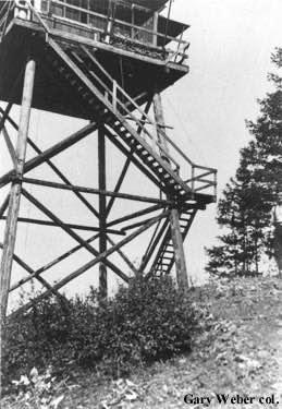
The route begins off a two-lane gravel road. The route passes through a loose rocky road and then a grassy rock surface to the lookout. The banks of the route are very steep in some…
Learn more about Cobden Point Lookout (FSR 9907)
Total Miles
4.0
Tech Rating
3 Easy
Best Time
Summer, Fall
1 2 3 4 5 6 7 8 9 10 11 ... 32

The onX Offroad Difference

onX Offroad combines trail photos, descriptions, difficulty ratings, width restrictions, seasonality, and more in a user-friendly interface. Available on all devices, with offline access and full compatibility with CarPlay and Android Auto. Discover what you’re missing today!