Off-Road Trails in Montana

Discover off-road trails in Montana

Learn more about Bangtail Creek Loop ATV
Bangtail Creek Loop ATV

Bangtail Creek Loop ATV

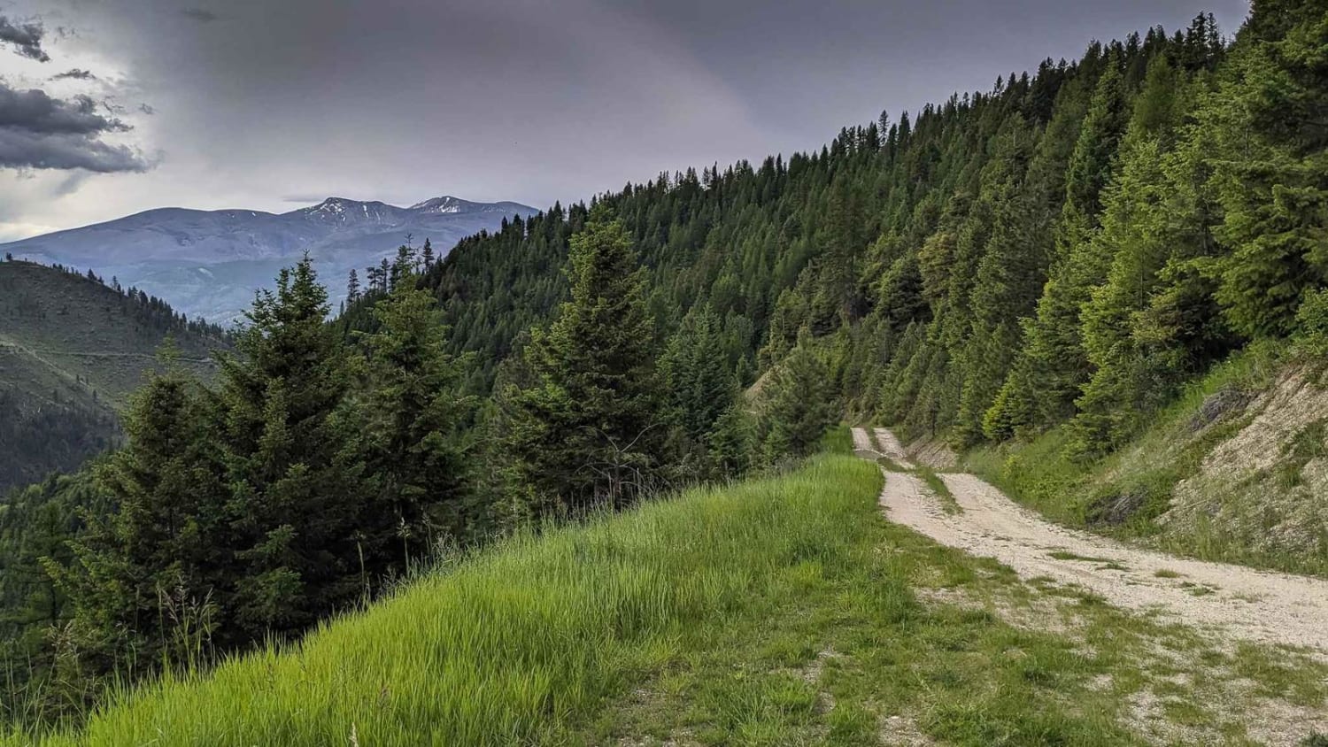
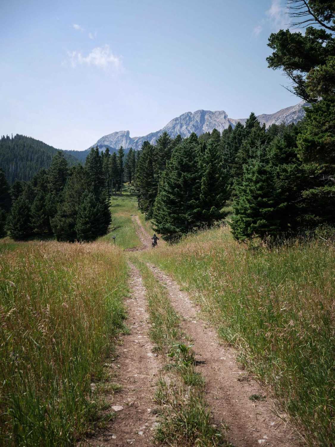
The Bangtail Creek Loop Trail is a straightforward ATV trail open June 16th to Oct 14th to vehicles 50" or less. It starts on a mountain top as a grassy, overgrown two-track. The trail's most…
Learn more about Bangtail Creek Loop ATV
Total Miles
8.6
Tech Rating
2 Easy
Best Time
Summer, Fall
Learn more about Bangtail Divide
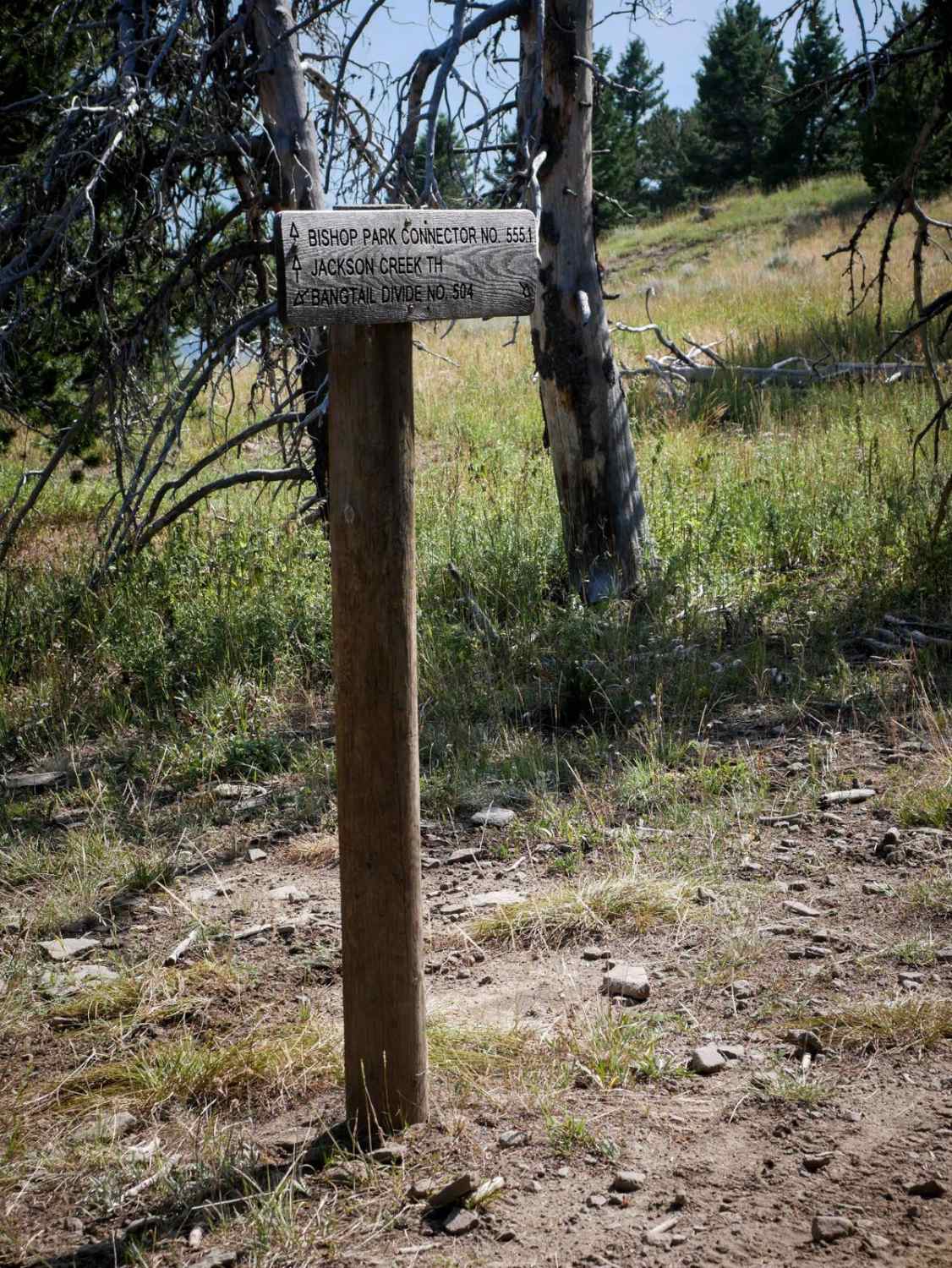
Bangtail Divide

Bangtail Divide

This is a 2.7-mile segment of the Bangtail Divide single track that parallels the Bishop Park ATV Trail. The south end starts at the intersection with the Bishop Park Connector Trail and a nonmotorized trail…
Learn more about Bangtail Divide
Total Miles
2.7
Tech Rating
2 Easy
Best Time
Summer, Fall
Learn more about Bangtail Divide Trail #504
Bangtail Divide Trail #504

Bangtail Divide Trail #504

Bangtail Divide is an almost 13 mile long single track through the Gallatin National Forest. It starts at the Bracket Creek Trailhead off Highway 86, north of Bozeman, Montana. It leaves the large dirt parking…
Learn more about Bangtail Divide Trail #504
Total Miles
13.3
Tech Rating
3 Easy
Best Time
Summer, Fall
Learn more about Bannock Pass and Bannack Ghost Town
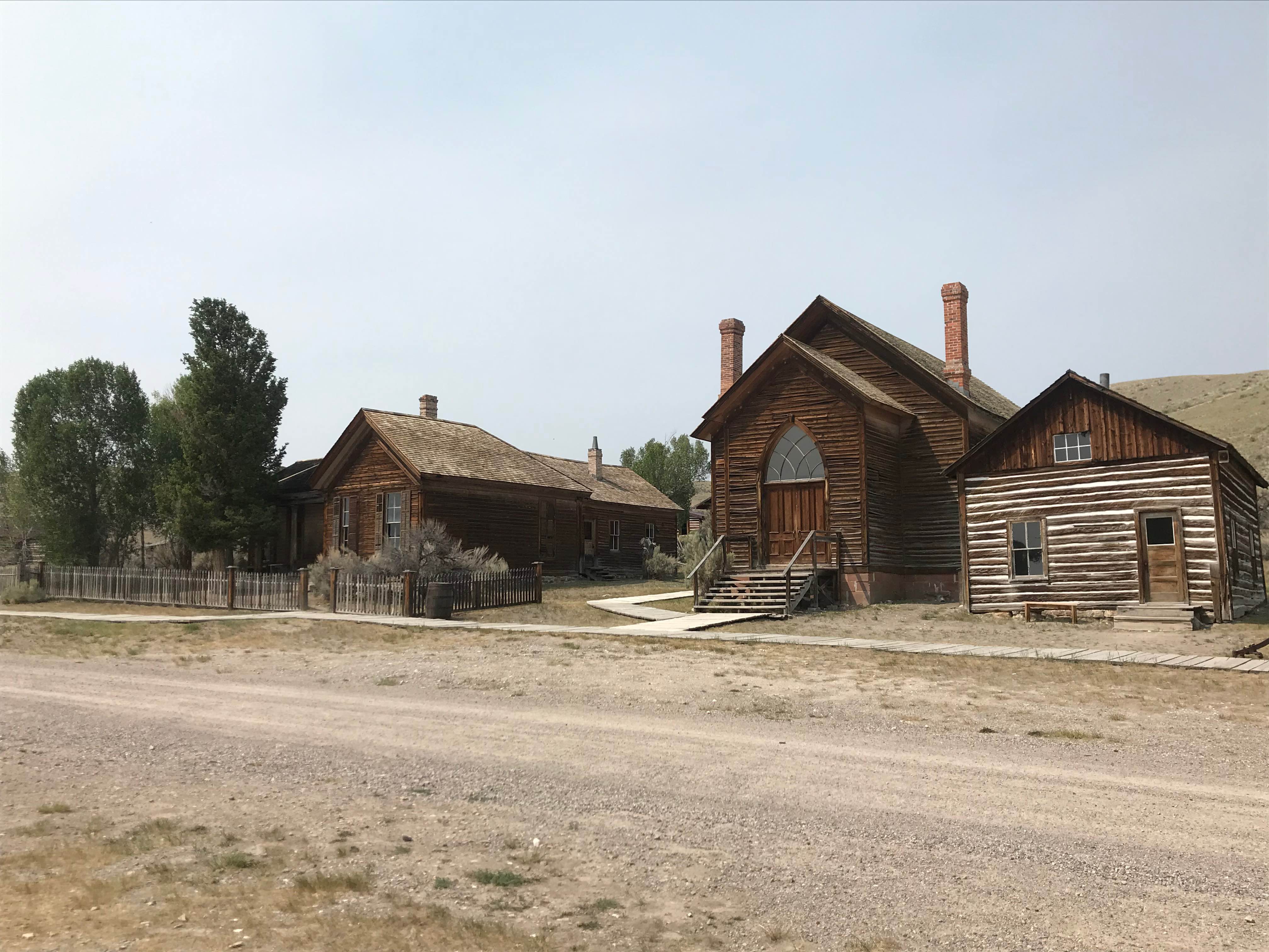
Bannock Pass and Bannack Ghost Town

Bannock Pass and Bannack Ghost Town

NOTE spelling differences when doing your research: Bannock with an O for route information, Bannack with an A for state park, ghost town, and campground information.Nestled in the Beaverhead Mountains, part of the Bitterroot Range…
Learn more about Bannock Pass and Bannack Ghost Town
Total Miles
49.0
Tech Rating
1 Easy
Best Time
Spring, Summer, Fall
Learn more about Bare Cone Lookout
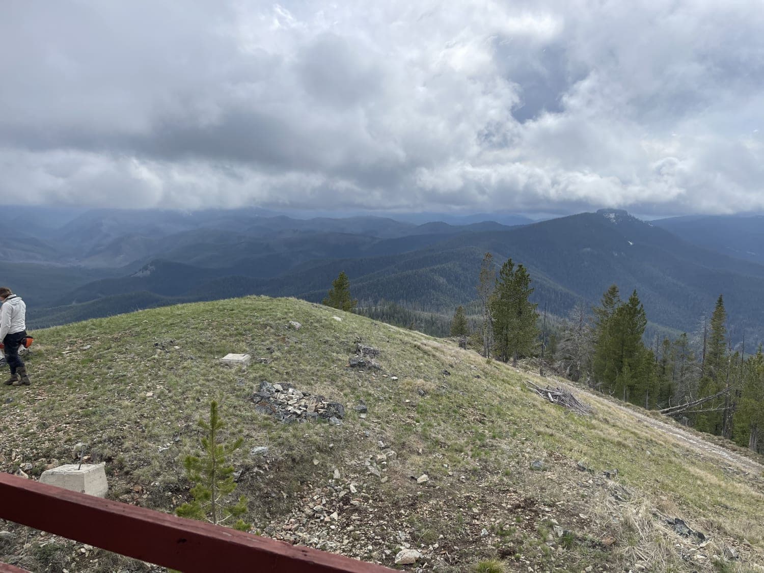
Bare Cone Lookout

Bare Cone Lookout

This longer trail is mostly straightforward. However, the map shows a spaghetti of trails in the area. Most of them seem to be gated old logging roads. Many show evidence of fire rings and people…
Learn more about Bare Cone Lookout
Total Miles
11.3
Tech Rating
2 Easy
Best Time
Summer
Learn more about Barton Gulch
Barton Gulch

Barton Gulch

The Barton Gulch trail is a scenic drive that runs across the northern reaches of the Gravelly Range in Montana. Explore its winding two-tracks, and you'll witness abandoned cabins nestled by babbling brooks, open meadows…
Learn more about Barton Gulch
Total Miles
18.8
Tech Rating
3 Easy
Best Time
Summer, Fall
Learn more about Barton Gulch and Offshoots
Barton Gulch and Offshoots

Barton Gulch and Offshoots

Beautiful trail with awesome views. Easy trail that gets narrow in spots and had some low hanging fallen trees that could be an issue if you don't want scratches in your paint. Stock 4x4s won't…
Learn more about Barton Gulch and Offshoots
Total Miles
25.2
Tech Rating
3 Easy
Best Time
Summer
Learn more about Bass Overlook Trail
Bass Overlook Trail

Bass Overlook Trail

Fun switchback dirt trail that ends at a small parking area with a nice overlook. This is where the Bass Overlook Hiking trail #392 starts and is part of the Selway-Bitterroot Wilderness. Bass Overlook Trailhead…
Learn more about Bass Overlook Trail
Total Miles
8.4
Tech Rating
1 Easy
Best Time
Summer, Fall
Learn more about Bear Creek
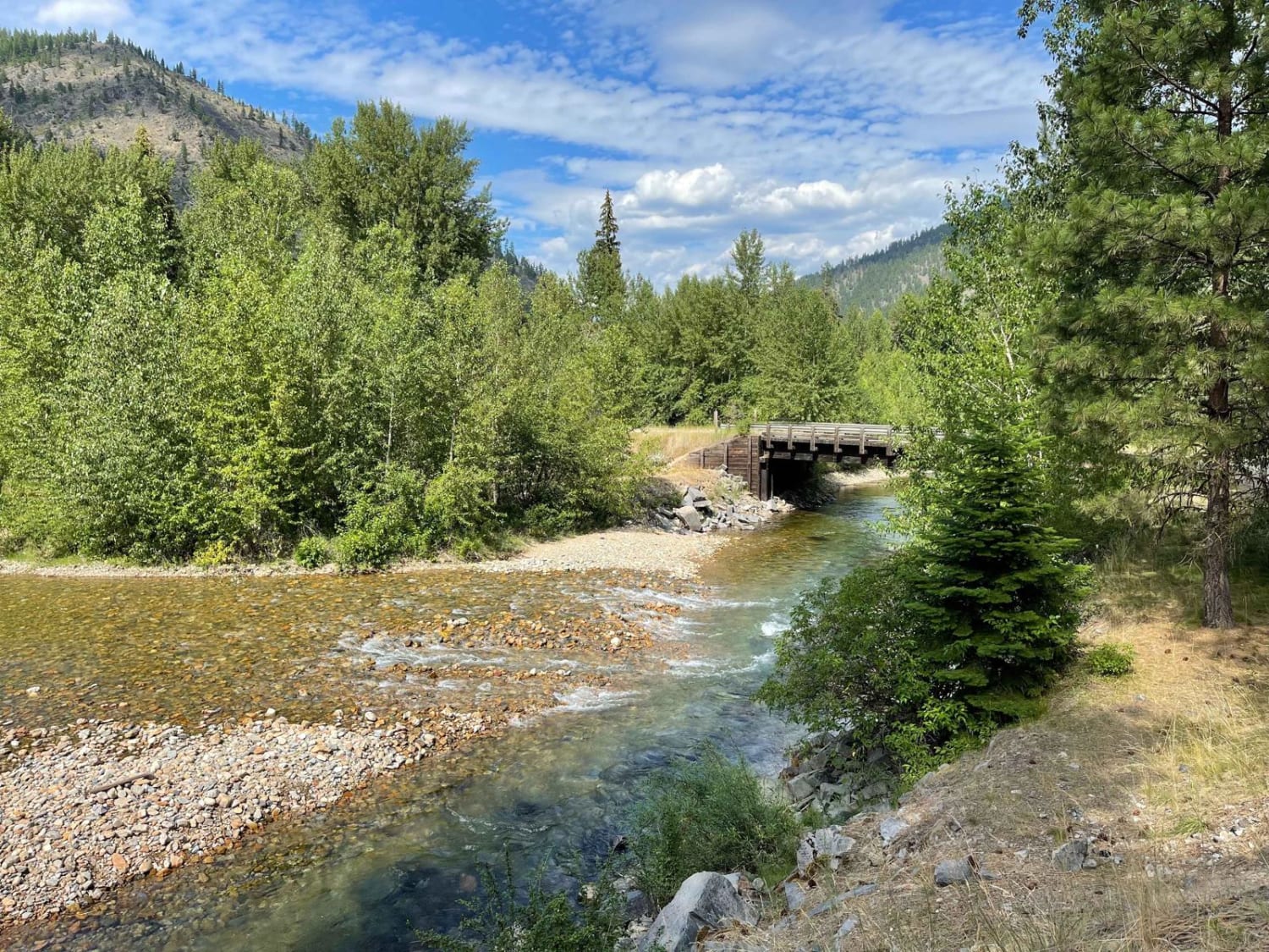
Bear Creek

Bear Creek

This short out and back feature a few nice large established campsites with a 14-day limit, fire rings and picnic benches, a little pit toilet, and good river access. There are plenty of offshoots to…
Learn more about Bear Creek
Total Miles
2.0
Tech Rating
2 Easy
Best Time
Fall, Summer, Spring
Learn more about Bear Creek FS 504 and 4239
Bear Creek FS 504 and 4239

Bear Creek FS 504 and 4239

This is an out-and-back route in the Lolo National Forest. The first right-hand turn takes you to a gate just before a bridge that crosses Bear Creek. The left turn takes you up the west…
Learn more about Bear Creek FS 504 and 4239
Total Miles
3.6
Tech Rating
3 Easy
Best Time
Summer, Fall
Learn more about Bear Creek Overlook Trail
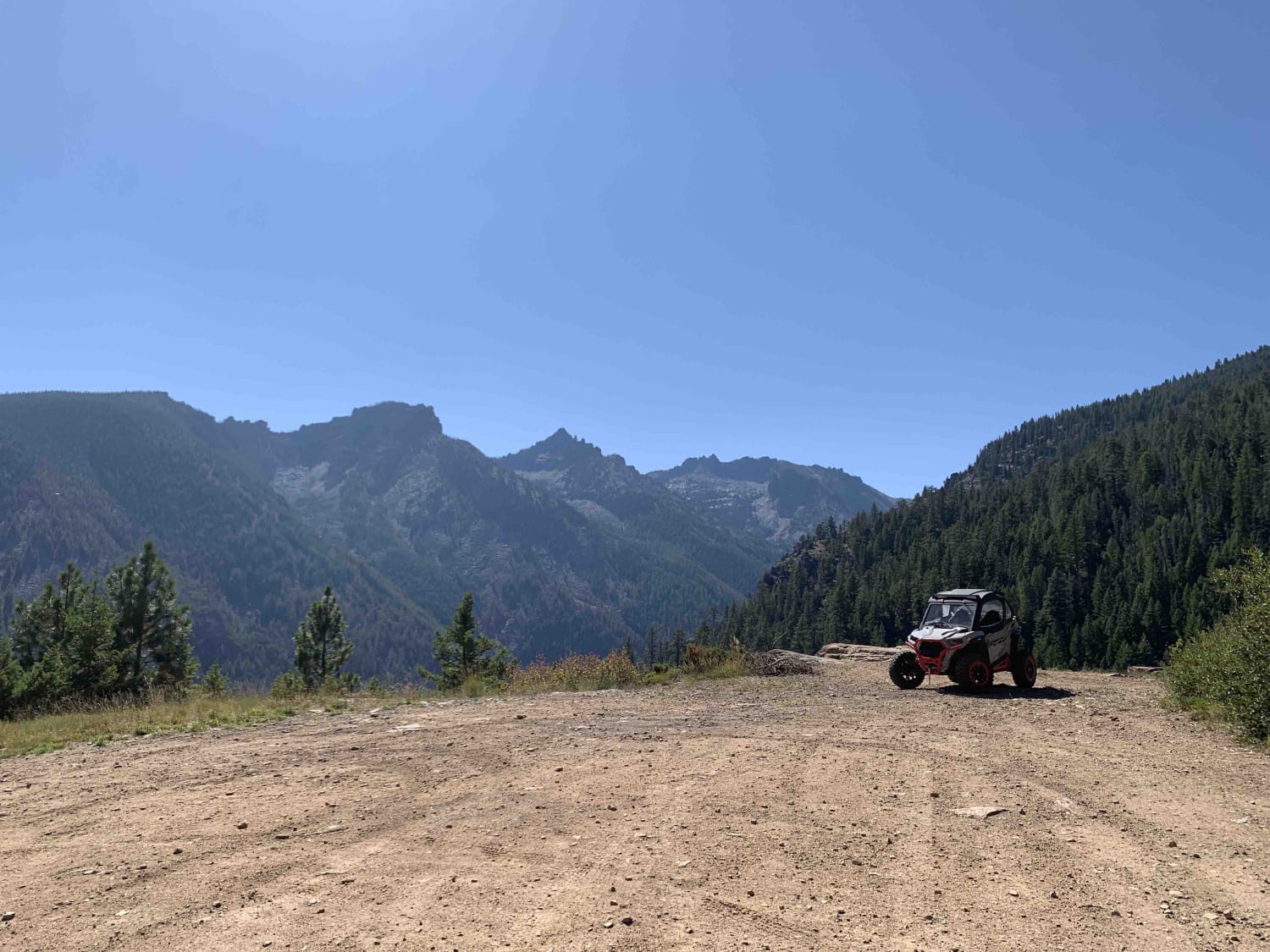
Bear Creek Overlook Trail

Bear Creek Overlook Trail

A well-maintained dirt road that is easily driven or accessible by all types of vehicles including 2WD passenger cars. The first half of the trail is a nice winding drive through tall pine trees the…
Learn more about Bear Creek Overlook Trail
Total Miles
5.8
Tech Rating
1 Easy
Best Time
Spring, Summer, Fall
Learn more about Beaver Creek Gallatin Forest
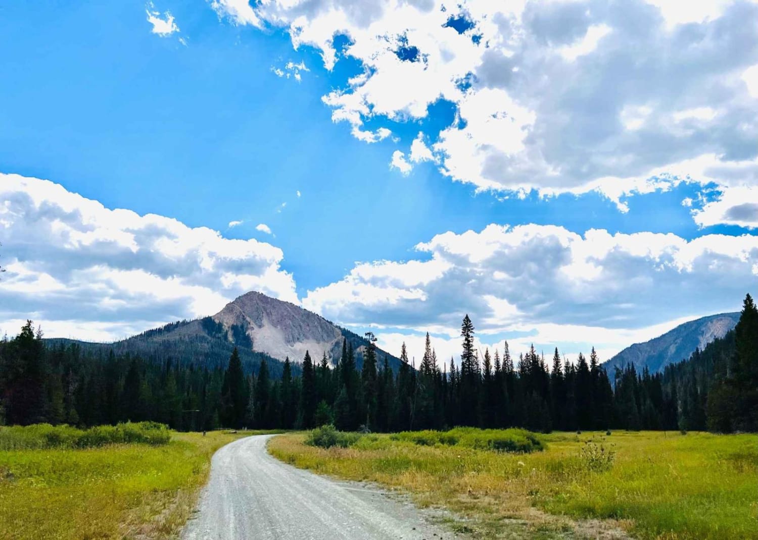
Beaver Creek Gallatin Forest

Beaver Creek Gallatin Forest

This is a lovely little hidden gem of a trail just outside West Yellowstone in the mountains. Beaver Creek runs right along a good portion of the beginning of this trail, and there are lots…
Learn more about Beaver Creek Gallatin Forest
Total Miles
4.5
Tech Rating
3 Easy
Best Time
Fall, Summer, Spring
Learn more about Beaver Creek Trailhead
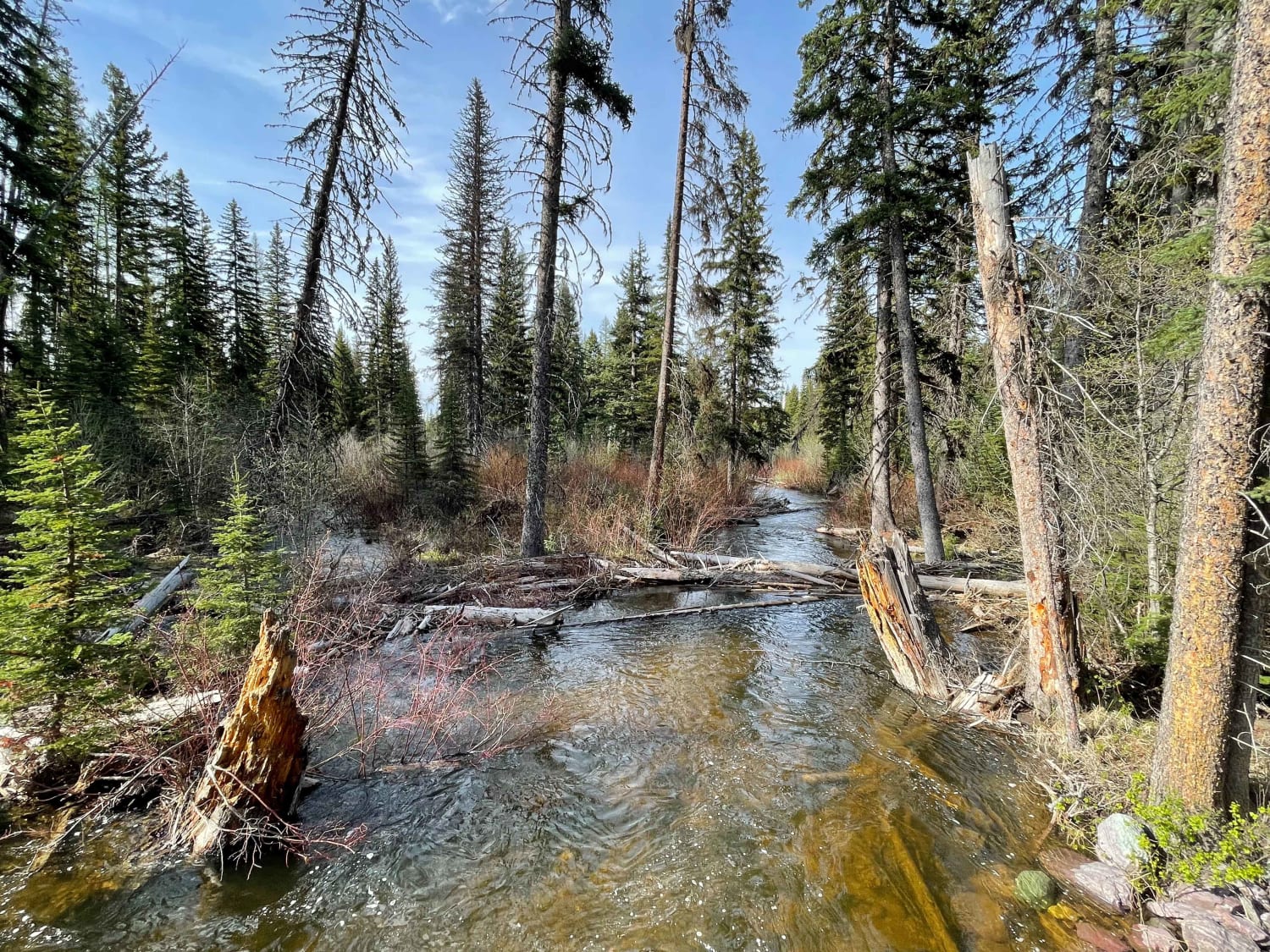
Beaver Creek Trailhead

Beaver Creek Trailhead

This easy trail twists and turns through swampy marshes and over the creek on bridges. There are very few dispersed camping spots. They are not super noticeable, so keep an eye out if that is…
Learn more about Beaver Creek Trailhead
Total Miles
7.4
Tech Rating
2 Easy
Best Time
Fall, Summer, Spring
Learn more about Bemish Ridge - FS 7583
Bemish Ridge - FS 7583

Bemish Ridge - FS 7583

Bemish Ridge- USFS 7583 is a moderately traveled gravel road through Lolo National Forest north of St. Regis, Montana. There is significant deadfall from a recent fire in the area. Take a saw with you…
Learn more about Bemish Ridge - FS 7583
Total Miles
18.4
Tech Rating
2 Easy
Best Time
Summer
Learn more about Benbow Jeep Trail
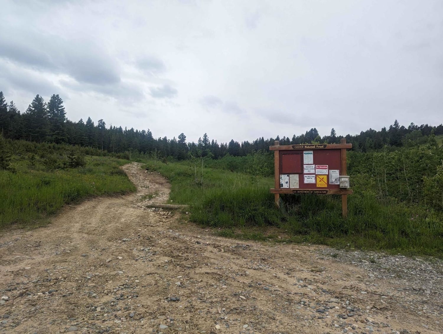
Benbow Jeep Trail

Benbow Jeep Trail

Benbow Jeep Trail is a 4x4 trail located in the Custer National Forest in Montana. It is 8.5 miles long and travel time is about 2 hours from parking to the mine site. The trail…
Learn more about Benbow Jeep Trail
Total Miles
8.5
Tech Rating
5 Moderate
Best Time
Summer
Learn more about Benchmark
Benchmark

Benchmark

Benchmark is a 1.5-mile long 50" trail through the Gallatin National Forest north of Bozeman, Montana. It's easy for the entire route, going through grassy valleys on an overgrown dirt trail. This one looks less…
Learn more about Benchmark
Total Miles
1.9
Tech Rating
2 Easy
Best Time
Summer, Fall
Learn more about Big Blue View
Big Blue View

Big Blue View

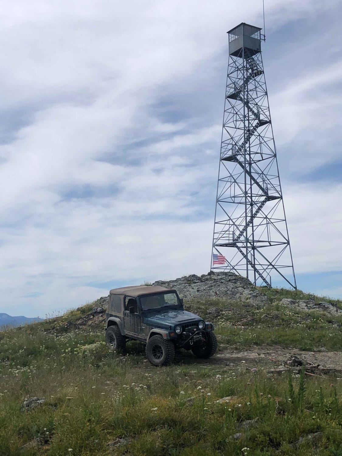
This trail is well maintained from the west side due to a communication site at the top of Blue Mountain. Once reaching the top of the mountain, there is a lookout tower allowing 360-degree views,…
Learn more about Big Blue View
Total Miles
15.2
Tech Rating
2 Easy
Best Time
Spring, Summer, Fall
Learn more about Big Creek Trailhead
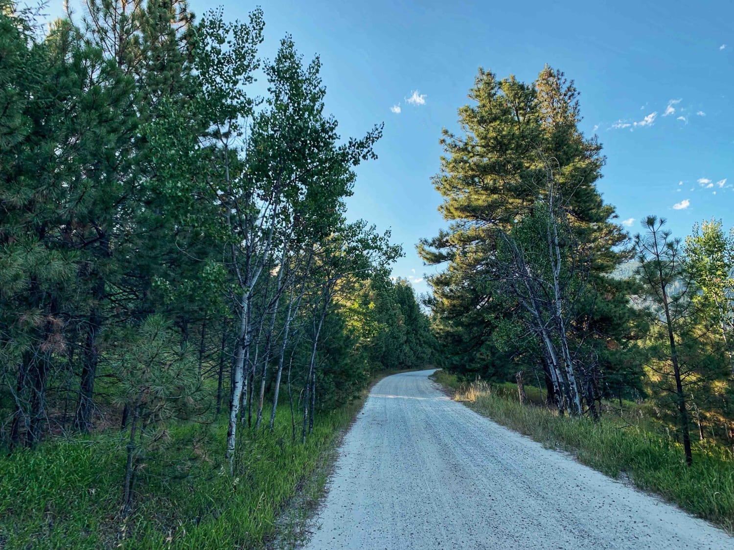
Big Creek Trailhead

Big Creek Trailhead

This is a short and beautiful drive. It's a windy and easy graded road that almost any car can make. Once you pass the residential area, the trail twists back and forth through a beautiful…
Learn more about Big Creek Trailhead
Total Miles
2.8
Tech Rating
1 Easy
Best Time
Summer, Spring, Fall
Learn more about Big Hole - Road 181
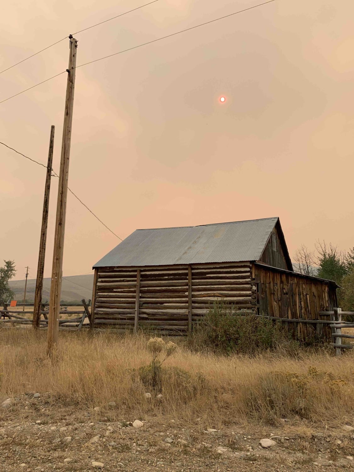
Big Hole - Road 181

Big Hole - Road 181

This easy track is bookended by the Shoshone Ridge Interpretive Site to the south, and Highway 278 near Jackson MT to the north - it partially follows both the Big Hole River and the Nez…
Learn more about Big Hole - Road 181
Total Miles
41.7
Tech Rating
1 Easy
Best Time
Summer, Spring, Fall
Learn more about Bigfoot Creek to Hay Creek
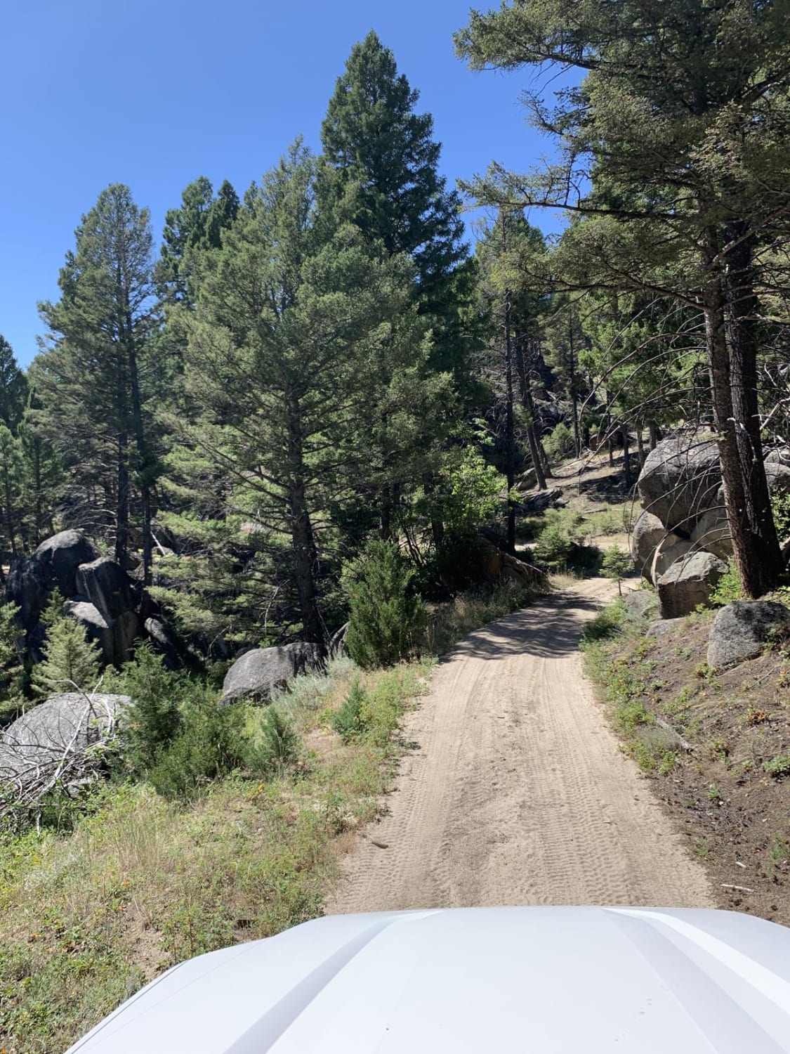
Bigfoot Creek to Hay Creek

Bigfoot Creek to Hay Creek

Running just east of Montana's State Route 399 / Whitetail Road, you'll find this trail meandering through the eastern slopes of Deer Lodge National Forest. Outstanding views, a few obstacles and trails just wide enough…
Learn more about Bigfoot Creek to Hay Creek
Total Miles
18.6
Tech Rating
3 Moderate
Best Time
Summer
1 2 3 4 5 6 7 8 9 10 ... 32

The onX Offroad Difference

onX Offroad combines trail photos, descriptions, difficulty ratings, width restrictions, seasonality, and more in a user-friendly interface. Available on all devices, with offline access and full compatibility with CarPlay and Android Auto. Discover what you’re missing today!