Off-Road Trails in New Mexico

Discover off-road trails in New Mexico

Learn more about FS 4089E
FS 4089E

FS 4089E

Traveling south to north, this trail starts off following a sandy wash. There are some tight spots weaving between the desert willows and oaks as well as deep sand. The last third of the trail…
Learn more about FS 4089E
Total Miles
2.9
Tech Rating
5 Moderate
Best Time
Spring, Fall
Learn more about FS 4090 B Evacuation Route
FS 4090 B Evacuation Route

FS 4090 B Evacuation Route

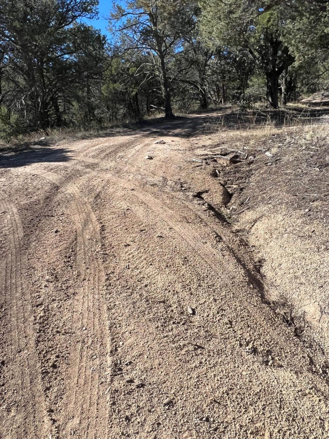
This short trail marked as FS 4090 B is used as the emergency evacuation route for the Burro Mountain Homestead. The Burro Mountain Homestead is the former Summer Home Ranch and Stagecoach Stop built in…
Learn more about FS 4090 B Evacuation Route
Total Miles
0.4
Tech Rating
3 Easy
Best Time
Spring, Summer, Fall
Learn more about FS 422 Priest Canyon
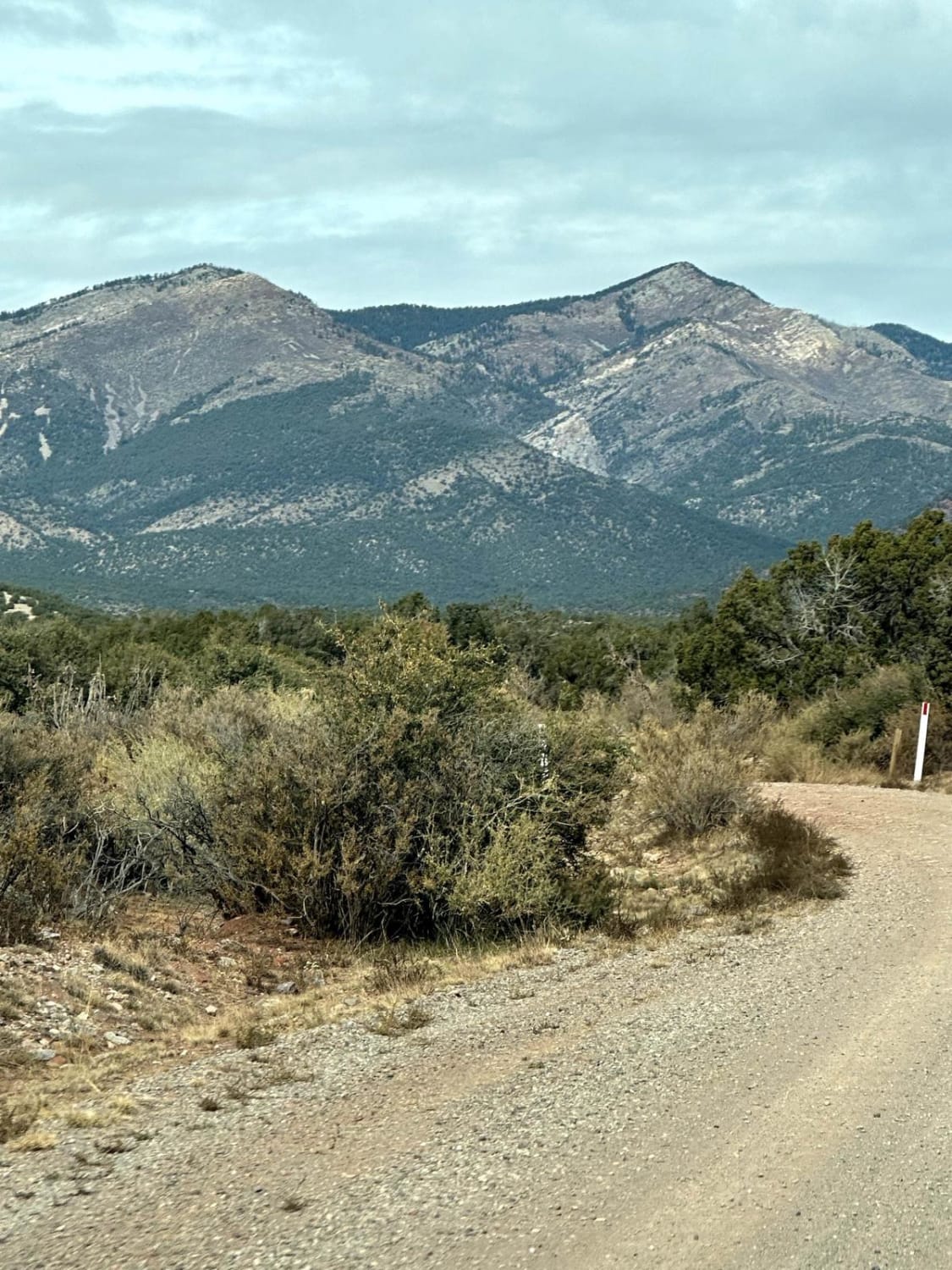
FS 422 Priest Canyon

FS 422 Priest Canyon

This route travels through the southern tip of the Manzano Mountains and connects the village of Manzano on State Highway 131 with State Highway 60. It travels along a right-of-way through private property on both…
Learn more about FS 422 Priest Canyon
Total Miles
16.3
Tech Rating
3 Easy
Best Time
Spring, Summer, Fall
Learn more about FS 4248 Y Alligator Juniper Jungle
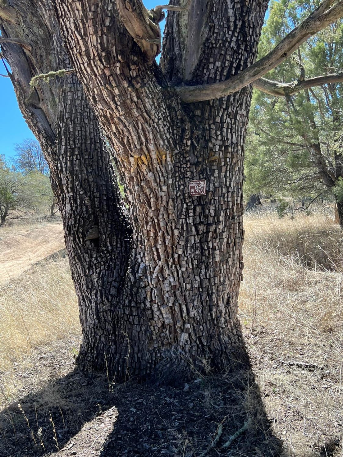
FS 4248 Y Alligator Juniper Jungle

FS 4248 Y Alligator Juniper Jungle

This route begins from FS 4090 C and dead ends at the Burro Mountain Homestead Gate 7. That gate is locked. The Alligator Juniper that line the road is hundreds and hundreds of years old.…
Learn more about FS 4248 Y Alligator Juniper Jungle
Total Miles
1.1
Tech Rating
3 Easy
Best Time
Spring, Summer, Fall
Learn more about FS 4250 R for Ruts
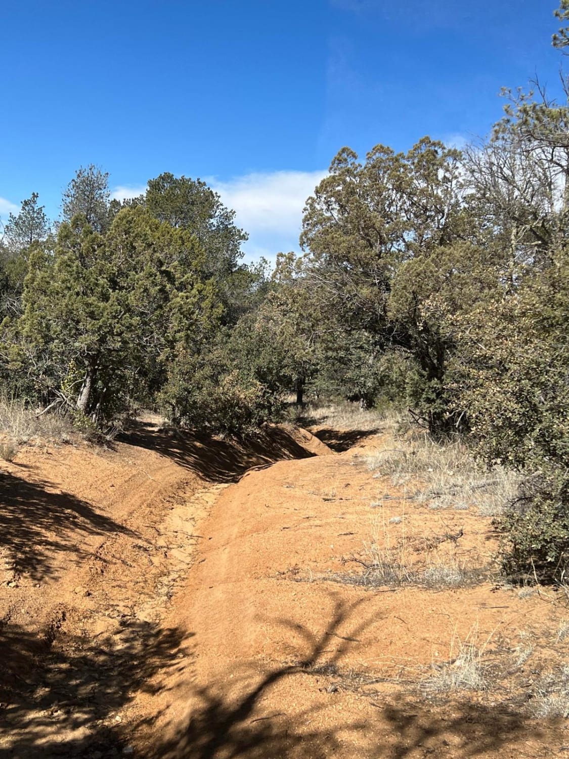
FS 4250 R for Ruts

FS 4250 R for Ruts

This is a short but difficult and narrow trail. It is challenging and will roll your rig from side to side. The trees overhang the trail at the start. The ruts start out gradually, and…
Learn more about FS 4250 R for Ruts
Total Miles
0.9
Tech Rating
7 Difficult
Best Time
Fall, Summer, Spring
Learn more about FS 44 El Rito to Vallecitos
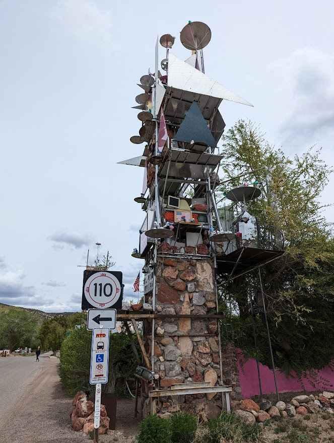
FS 44 El Rito to Vallecitos

FS 44 El Rito to Vallecitos

This is a scenic, well-maintained US FS road connecting El Rito and Vallecitos. There are no services in either small mountain community besides the restaurant El Farolito (cash only). With a number of other US…
Learn more about FS 44 El Rito to Vallecitos
Total Miles
16.0
Tech Rating
1 Easy
Best Time
Spring, Summer, Fall
Learn more about FS 45 Vallecitos to Petaca
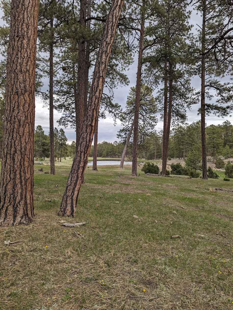
FS 45 Vallecitos to Petaca

FS 45 Vallecitos to Petaca

FS 45 is a scenic, well-maintained dirt road that connects two small mountain towns, Vallecitos and Petaca. This can be considered part three of a fun and relaxing set of trails starting in Abiquiu, and…
Learn more about FS 45 Vallecitos to Petaca
Total Miles
11.9
Tech Rating
1 Easy
Best Time
Spring, Fall, Summer, Winter
Learn more about FS 55 Tajique Canyon
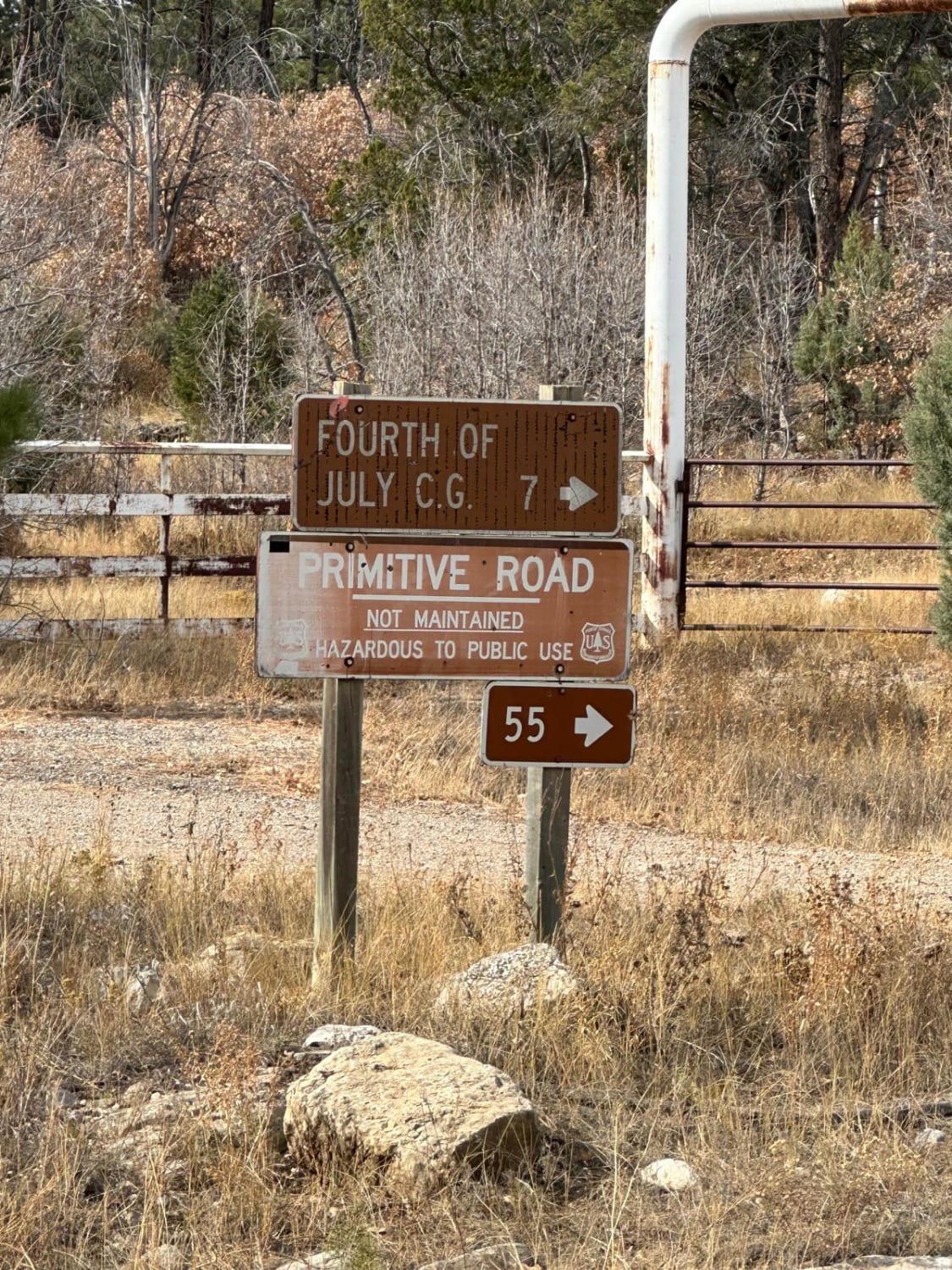
FS 55 Tajique Canyon

FS 55 Tajique Canyon

This route is rocky in some areas and has other areas with deep ruts and slick, sticky mud with any type of moisture. It travels through private property before entering the Carson Forest. The route…
Learn more about FS 55 Tajique Canyon
Total Miles
7.5
Tech Rating
4 Moderate
Best Time
Spring, Summer, Fall
Learn more about FS 827 Deadman
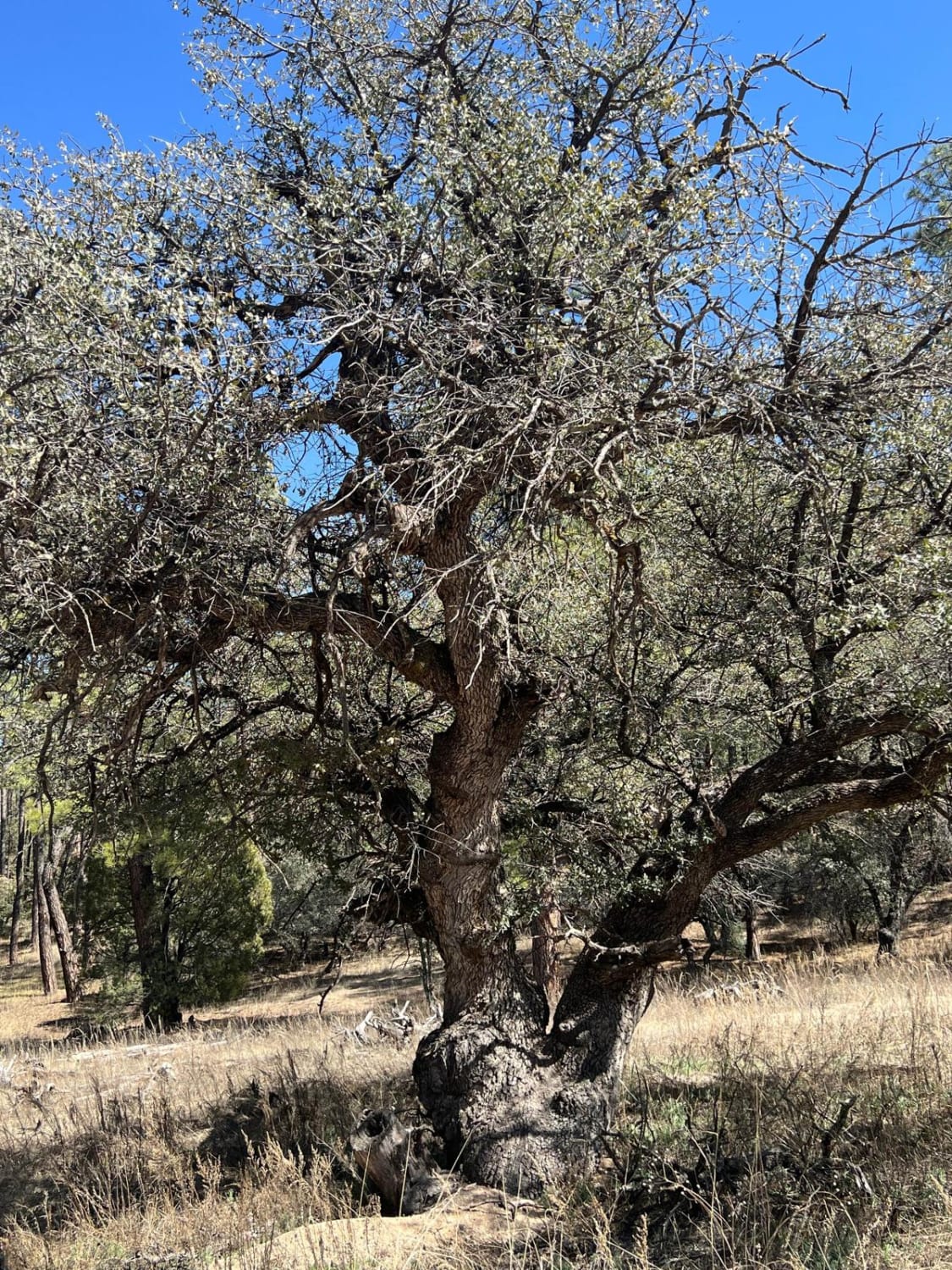
FS 827 Deadman

FS 827 Deadman

This trail is one of the few in the area that is wider and has less chance of overhanging branches. The erosion ruts can change the complexity of the route in wet weather. This trail…
Learn more about FS 827 Deadman
Total Miles
0.8
Tech Rating
2 Easy
Best Time
Spring, Summer, Fall
Learn more about FS 828
FS 828

FS 828

This is an easy road that climbs up from the juniper woodlands to ponderosa forest. It offers Continental Divide Trail access--in fact, the CDT is on the road for a while. There are several campsites…
Learn more about FS 828
Total Miles
4.7
Tech Rating
3 Easy
Best Time
Spring, Fall
Learn more about FS 836 Jacks Peak Road
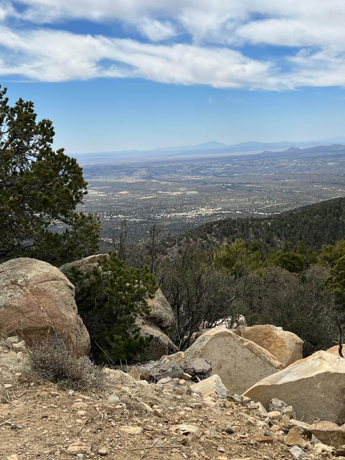
FS 836 Jacks Peak Road

FS 836 Jacks Peak Road

FS 836 leads to Jacks Peak which is the highest point in the area at 7966 feet elevation. Being the highest point in the area, Jacks Peak has numerous communication towers. This road is rough,…
Learn more about FS 836 Jacks Peak Road
Total Miles
6.0
Tech Rating
3 Easy
Best Time
Spring, Summer, Fall
Learn more about FS 91 Old Tyrone Road
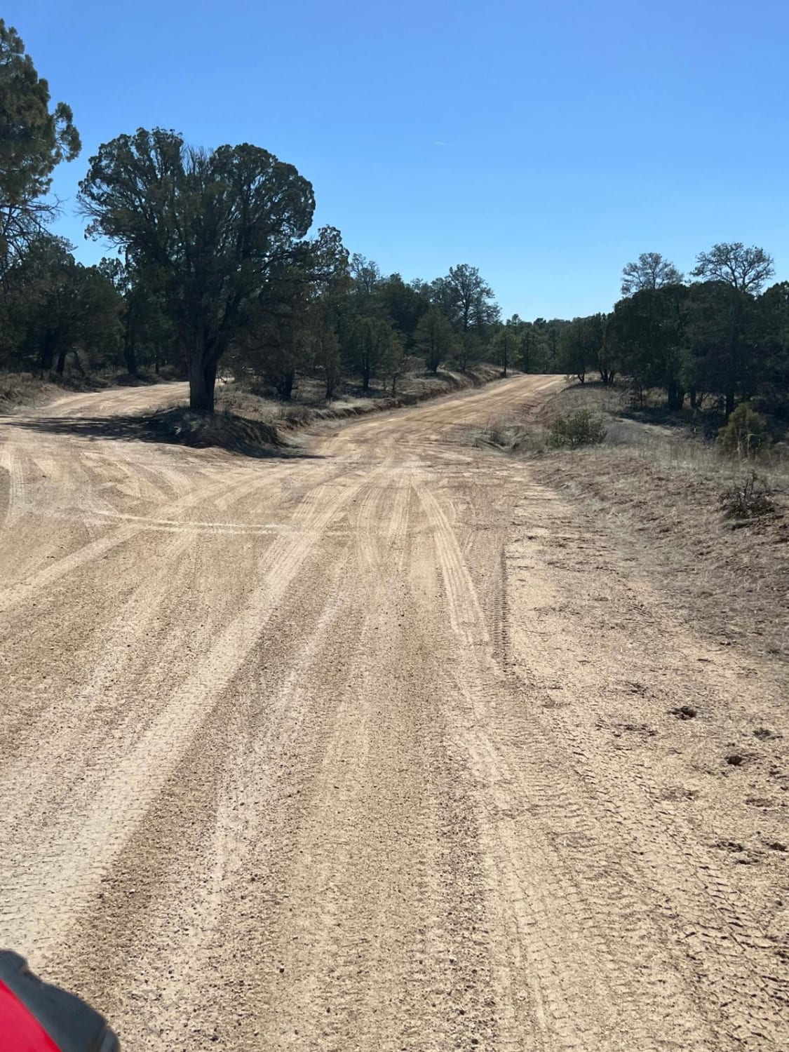
FS 91 Old Tyrone Road

FS 91 Old Tyrone Road

This route follows the Old Tyrone Road which was primarily used to go into the Burro Mountains. The mine changed that access. Now, the main road is Tyrone Thompson Road. The old townsite of Tyrone,…
Learn more about FS 91 Old Tyrone Road
Total Miles
0.8
Tech Rating
1 Easy
Best Time
Spring, Summer, Fall
Learn more about FS 911 Access
FS 911 Access

FS 911 Access

The Burro Mountain OHV/ATV trails are narrow and numerous trees overhang the trails. Attempts are made to trim the trees but erosion causes the trails to change due to the water ruts that can cut…
Learn more about FS 911 Access
Total Miles
0.4
Tech Rating
3 Easy
Best Time
Spring, Summer, Fall
Learn more about FS 911 East
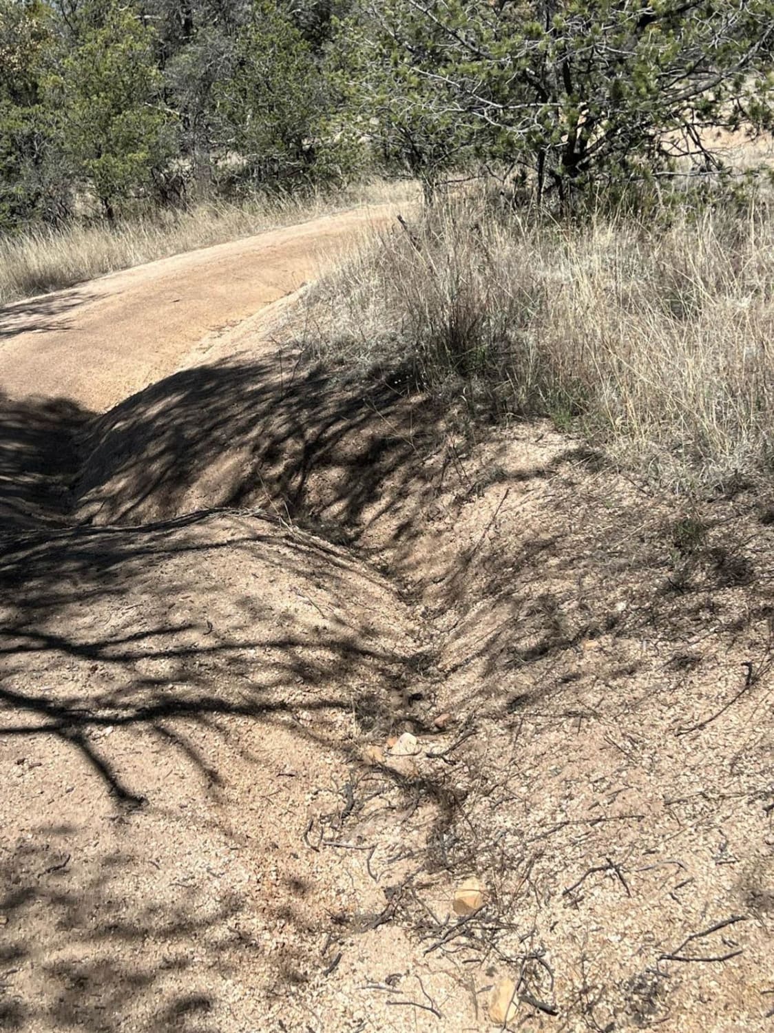
FS 911 East

FS 911 East

The Burro Mountain OHV trails are narrow with deep ruts. The sandy soil moves with the elements and vehicle traffic makes each ride a little different. Numerous trees overhang this trail which can add to…
Learn more about FS 911 East
Total Miles
1.0
Tech Rating
3 Easy
Best Time
Spring, Summer, Fall
Learn more about FS 911 West
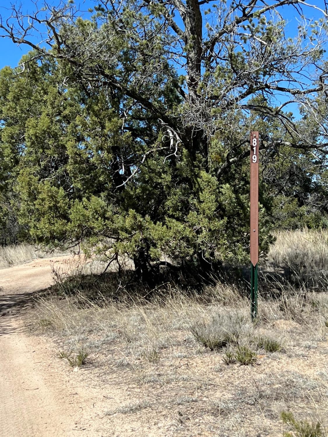
FS 911 West

FS 911 West

This route starts from Tyrone Thompson Road as FS 819 Shrine Mine. A turn east is FS 911. It leads to a beautiful picnic spot along a small stream. It is narrow due to overhanging…
Learn more about FS 911 West
Total Miles
1.1
Tech Rating
3 Easy
Best Time
Spring, Summer, Fall
Learn more about FS 914
FS 914

FS 914

This is a sandy trail that provides access to the fun and challenging FS 915 Boundary Bowl and connects to FS 827. It travels on the southwestern edge of the enormous Tyrone Mine. Like many…
Learn more about FS 914
Total Miles
0.2
Tech Rating
3 Easy
Best Time
Spring, Summer, Fall
Learn more about FS 915 Boundary Bowl
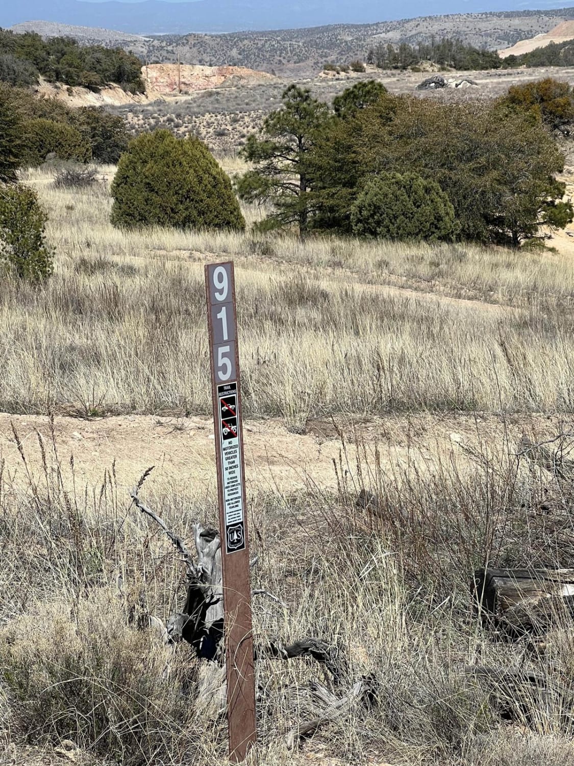
FS 915 Boundary Bowl

FS 915 Boundary Bowl

This is a fun area to rest, play and test your skills and your rig. There are a number of small hills of varying degrees of difficulty. The area is bowl-shaped and allows you to…
Learn more about FS 915 Boundary Bowl
Total Miles
0.6
Tech Rating
3 Easy
Best Time
Spring, Summer, Fall
Learn more about FS376
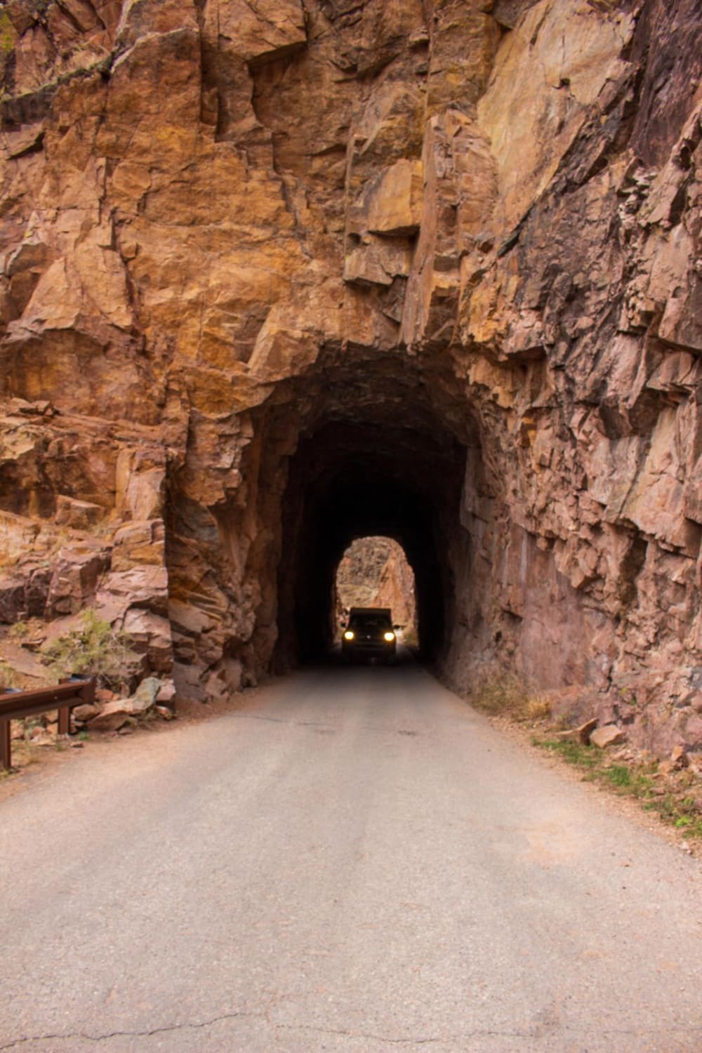
FS376

FS376

FS376 is a 23-mile long trail that weaves through the Jemez National Forest, gaining about 3,200 feet in elevation high above the Rio Guadalupe. This route takes you through the historic Gilman Tunnels, which were…
Learn more about FS376
Total Miles
17.6
Tech Rating
1 Easy
Best Time
Spring, Summer, Fall, Winter
Learn more about Fuel Break
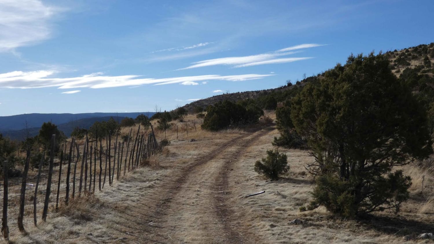
Fuel Break

Fuel Break

Fuel Break is a trail that is difficult to access, and difficult to traverse and should be run with a group and experienced drivers. Featuring a very loose rocky surface with inclines and slopes in…
Learn more about Fuel Break
Total Miles
3.5
Tech Rating
5 Moderate
Best Time
Spring, Summer, Fall
Learn more about Gallinas Canyon
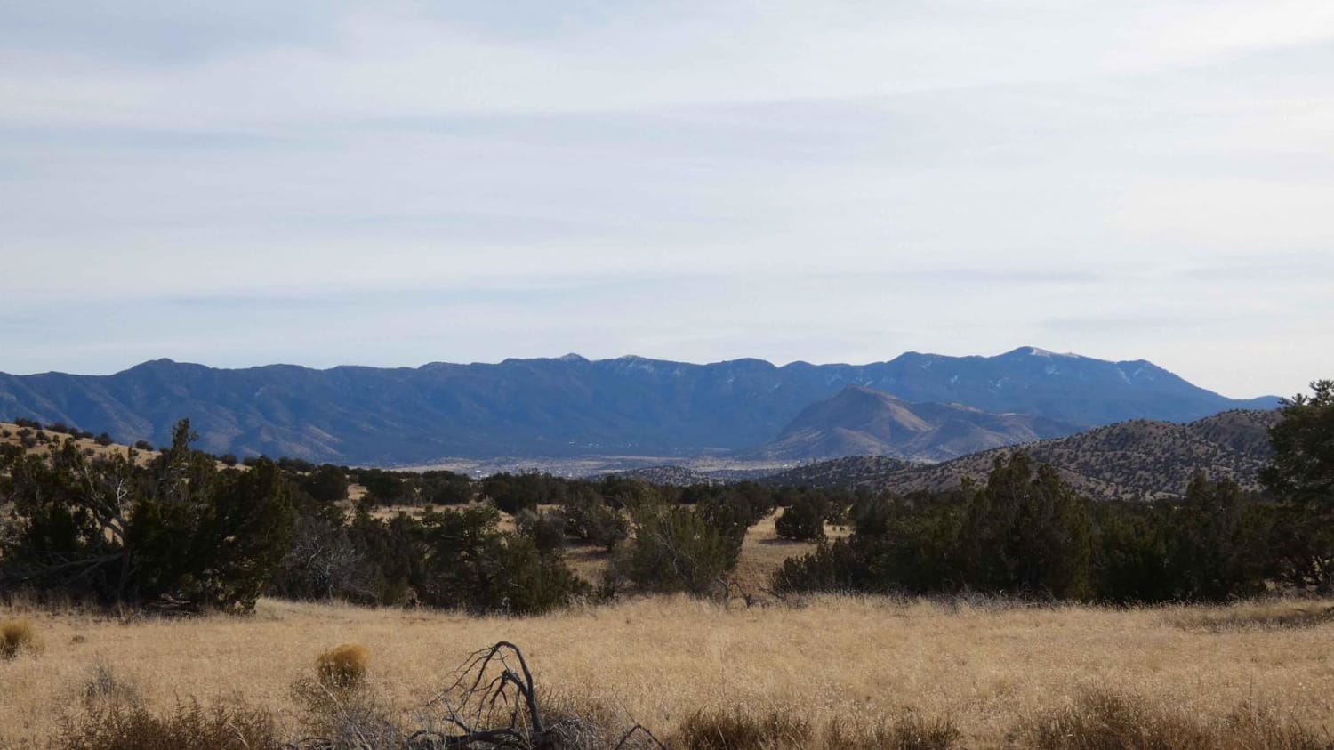
Gallinas Canyon

Gallinas Canyon

Gallinas Canyon connects from CR 169 to Council Rock/FSR 10 and can be run as an out-and-back or as a loop utilizing one of two available motorized spurs off the main track. While the majority…
Learn more about Gallinas Canyon
Total Miles
9.2
Tech Rating
3 Easy
Best Time
Spring, Summer, Fall, Winter
1 ... 5 6 7 8 9 10 11 12 13 14 ... 21

The onX Offroad Difference

onX Offroad combines trail photos, descriptions, difficulty ratings, width restrictions, seasonality, and more in a user-friendly interface. Available on all devices, with offline access and full compatibility with CarPlay and Android Auto. Discover what you’re missing today!