Off-Road Trails in New Mexico

Discover off-road trails in New Mexico

Learn more about Cox Canyon Arch
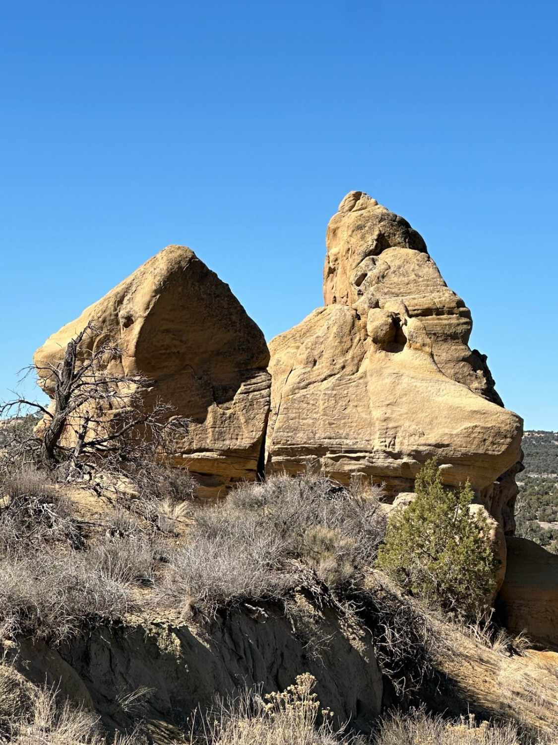
Cox Canyon Arch

Cox Canyon Arch

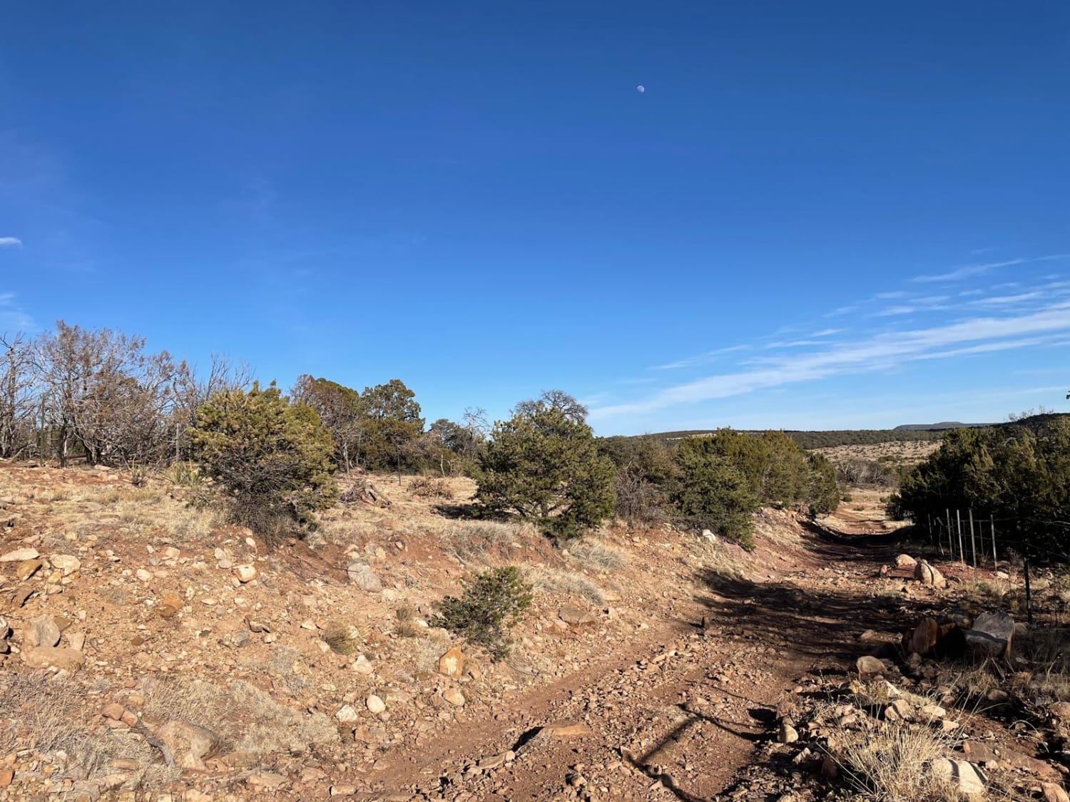
This route is relatively easy up and back, except for ruts and a water crossing near the end. If you decide to hike to Cox Canyon Arch itself, it is a short, moderate hike directly…
Learn more about Cox Canyon Arch
Total Miles
4.4
Tech Rating
2 Easy
Best Time
Spring, Summer, Fall
Learn more about Coyote
Coyote

Coyote

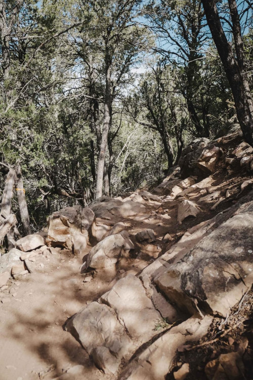
Coyote is a 5-mile-long single track in the Manzanita Mountain OHV area that is popular with dirt bikers, mountain bikers, and hikers. It's very windy through a forested desert terrain full of pinyon pine and…
Learn more about Coyote
Total Miles
4.8
Tech Rating
4 Moderate
Best Time
Spring, Fall, Winter
Learn more about Coyote Canyon
Coyote Canyon

Coyote Canyon

This trail is easy and full of scenery. Most of the trail has amazing views of the nearby peaks and has very active wildlife. The trail comes to a dead-end at private property. Much of…
Learn more about Coyote Canyon
Total Miles
14.8
Tech Rating
4 Easy
Best Time
Spring, Summer, Fall, Winter
Learn more about Coyote Exit
Coyote Exit

Coyote Exit

Coyote Exit begins just off the Quebradas Backcountry Byway, works its way around the Cerillos de Coyote plateaus, and culminates into a panorama overlook of the surrounding mountain ranges. This includes the Sierra de la…
Learn more about Coyote Exit
Total Miles
1.3
Tech Rating
3 Easy
Best Time
Spring, Summer, Winter, Fall
Learn more about Coyote Mesa Trail
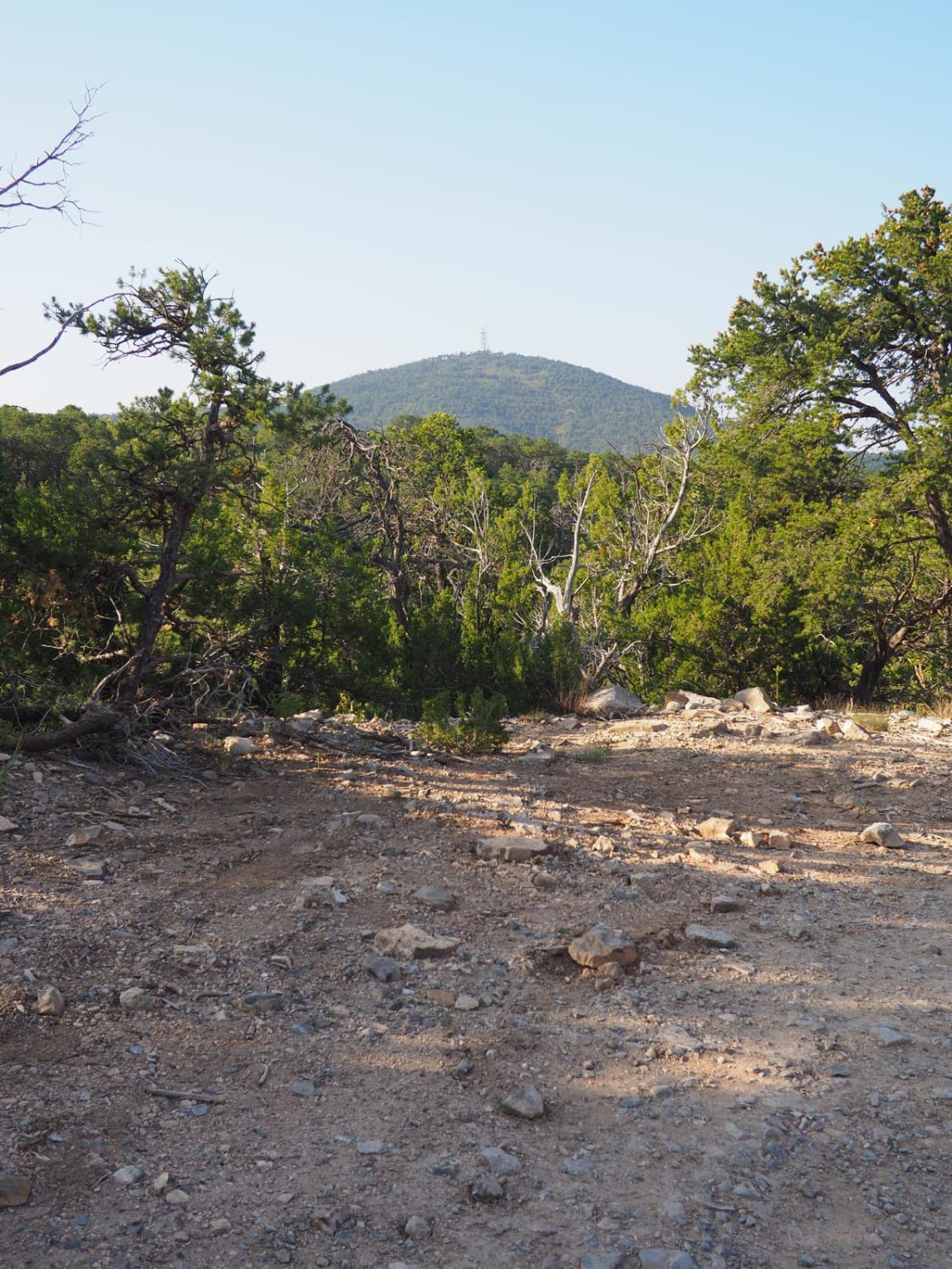
Coyote Mesa Trail

Coyote Mesa Trail

Coyote Mesa Trail is listed on MUVM maps as FR462. Its starts just south of Tijeras in Chamisos Canyon, and crosses the mesa north of Cedro Peak ending near the Zuzax area. This trail offers…
Learn more about Coyote Mesa Trail
Total Miles
3.0
Tech Rating
2 Easy
Best Time
Spring, Summer, Fall, Winter
Learn more about Coyote Split
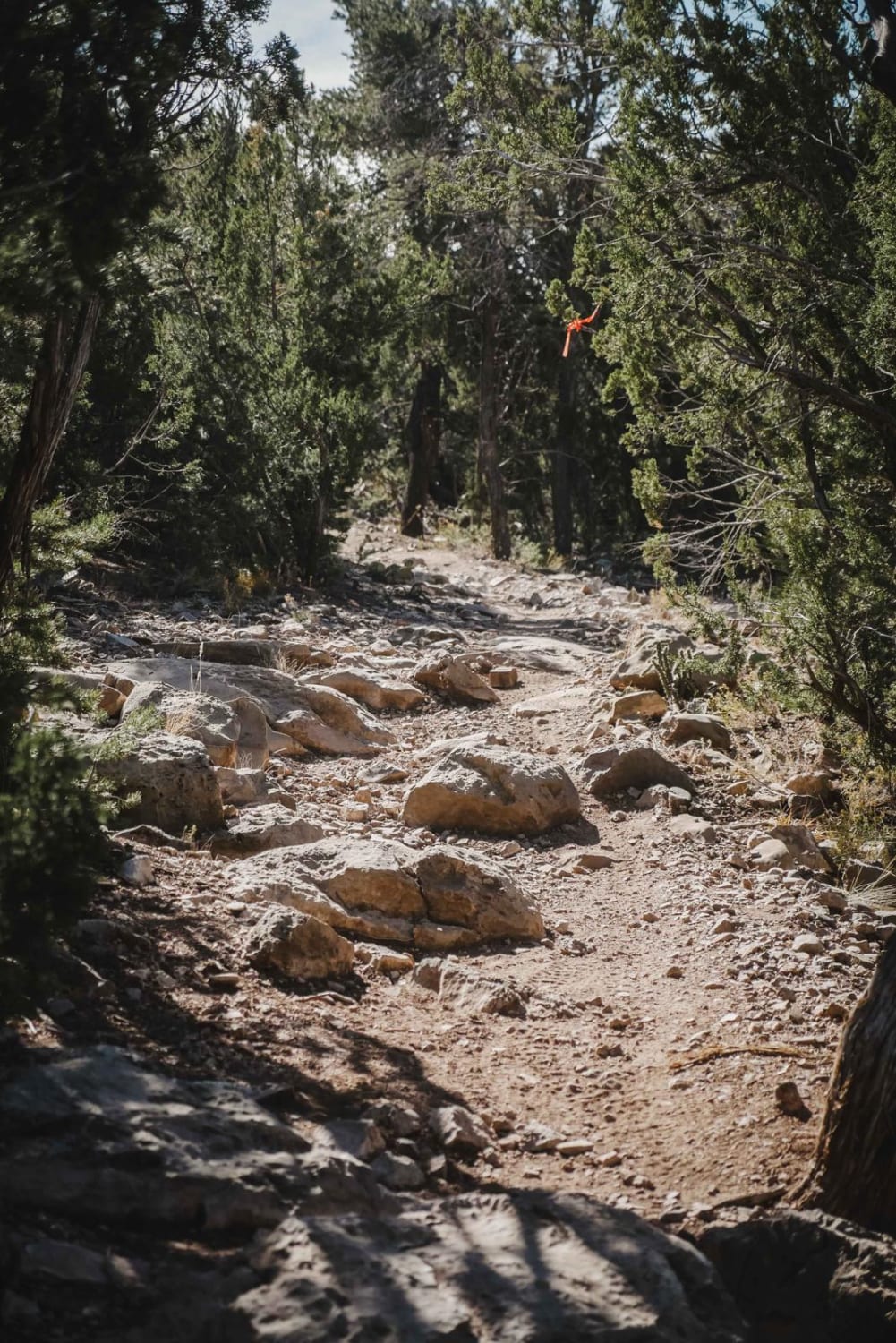
Coyote Split

Coyote Split

Coyote Split is a 2-mile single track that connects the Coyote Trail to the Chamisoso Trail. It's narrow and shelfy at times, with loose rock and embedded slab rock ledges in the dirt trail. It…
Learn more about Coyote Split
Total Miles
1.9
Tech Rating
4 Moderate
Best Time
Spring, Fall, Winter
Learn more about Coyote-Chamisoso Link
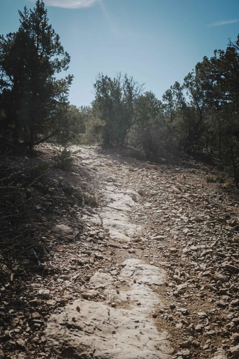
Coyote-Chamisoso Link

Coyote-Chamisoso Link

This is a short 1.1-mile-long trail starting at the Coyote Trailhead, which has several spots for parking. It starts through a pinch point at a gated dirt road. It parallels the dirt road on a…
Learn more about Coyote-Chamisoso Link
Total Miles
1.1
Tech Rating
3 Easy
Best Time
Spring, Fall, Winter
Learn more about Crooked Canyon
Crooked Canyon

Crooked Canyon

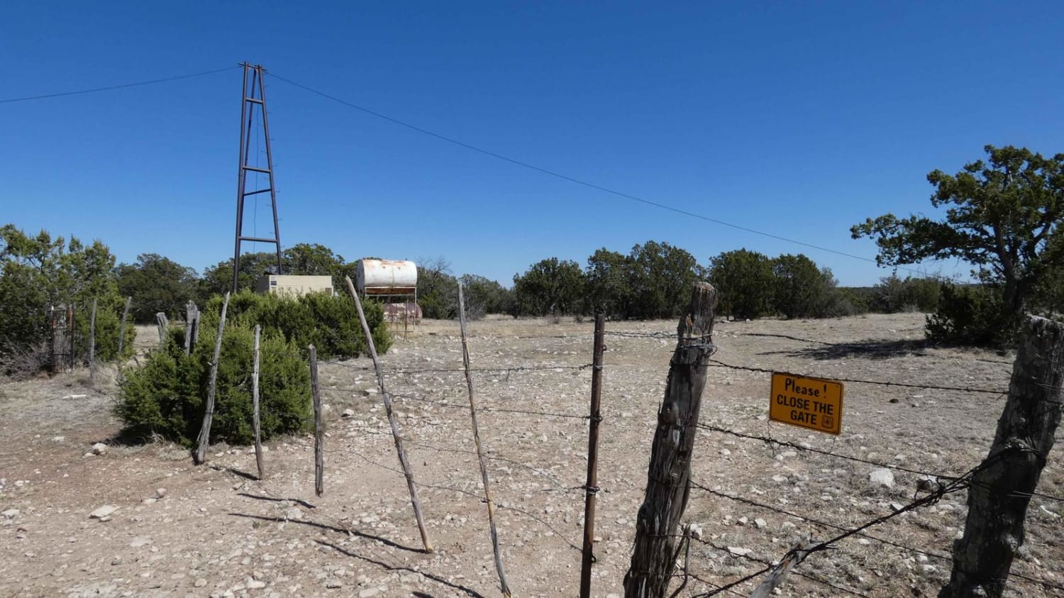
Crooked Canyon is a trail that can be approached from the north or south and overall is an easily completed trail by 4x4 and some AWD with appropriate ground clearance. Being primarily a single vehicle…
Learn more about Crooked Canyon
Total Miles
4.5
Tech Rating
2 Easy
Best Time
Spring, Summer, Fall, Winter
Learn more about Crosby Canyon FS66
Crosby Canyon FS66

Crosby Canyon FS66

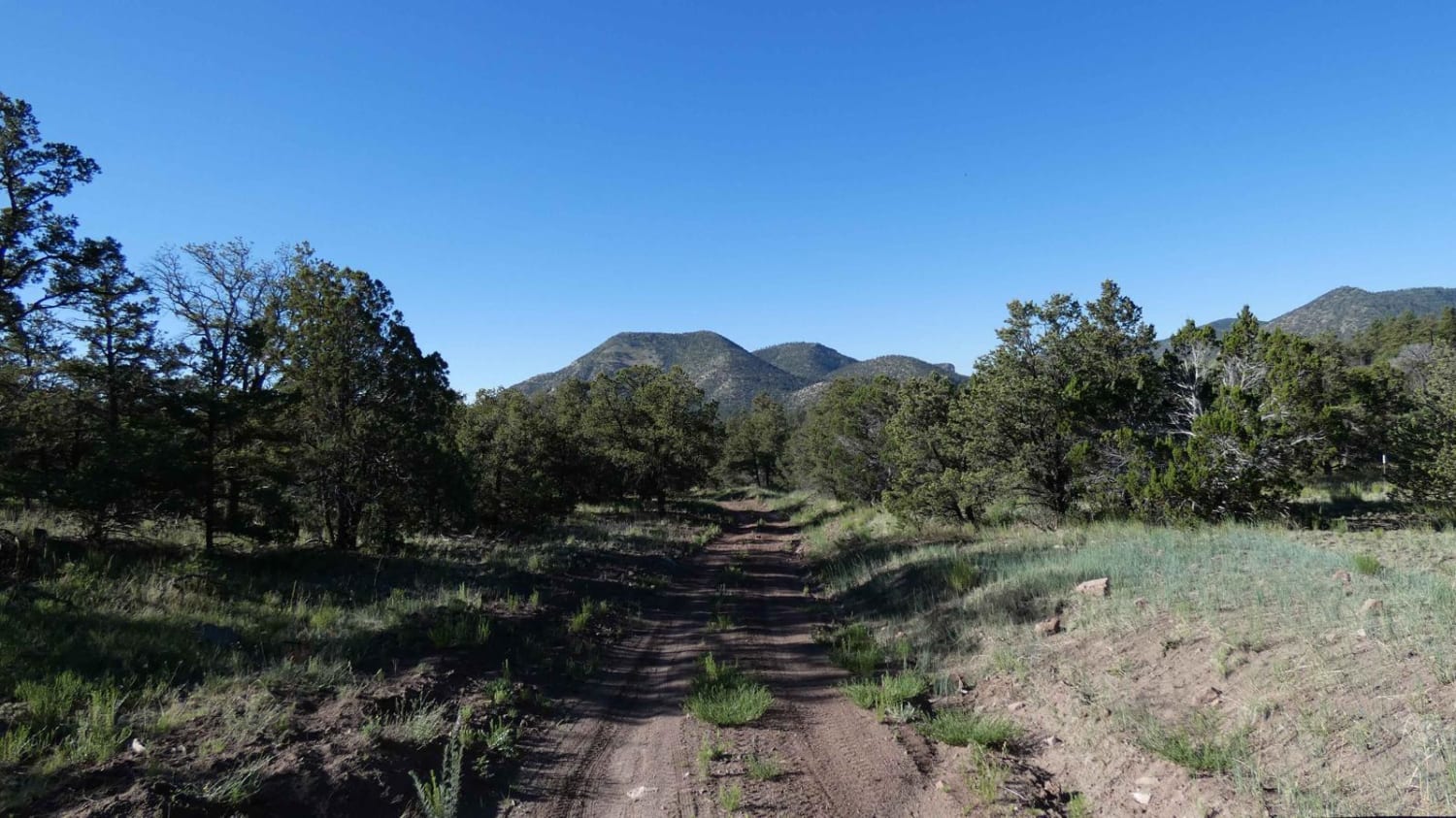
Crosby Canyon is located just west of the Village of Datil, NM, and connects Highway 60 to Highway 12 and can be run from either direction. Starting from the Highway 60 side the trail begins…
Learn more about Crosby Canyon FS66
Total Miles
6.5
Tech Rating
3 Easy
Best Time
Spring, Summer, Fall, Winter
Learn more about Crouch Mesa
Crouch Mesa

Crouch Mesa

This area is a local Bloomfield favorite. The trail crisscrosses Crouch Mesa, with the northwest end starting in Flora Vista near Road 3100 and the northeast access point picking up a little off of 550.…
Learn more about Crouch Mesa
Total Miles
13.6
Tech Rating
1 Easy
Best Time
Spring, Summer, Fall, Winter
Learn more about Crow Canyon Overlook/Road 550
Crow Canyon Overlook/Road 550

Crow Canyon Overlook/Road 550

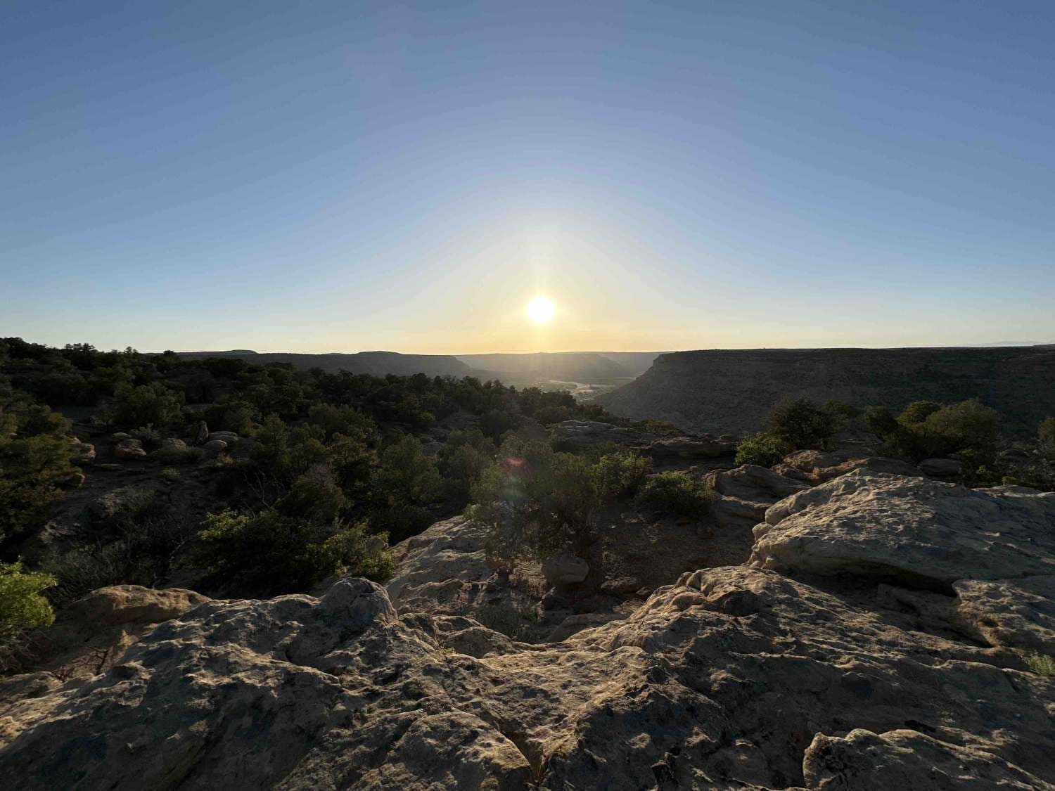
This trail drops down from the Gould Pass Pueblito trail and loosely encircles Crow Canyon, with multiple spurs leading to the different points that overlook the canyon. This trail ends on the south side of…
Learn more about Crow Canyon Overlook/Road 550
Total Miles
8.6
Tech Rating
3 Easy
Best Time
Spring, Summer, Fall, Winter
Learn more about Curtis Canyon
Curtis Canyon

Curtis Canyon

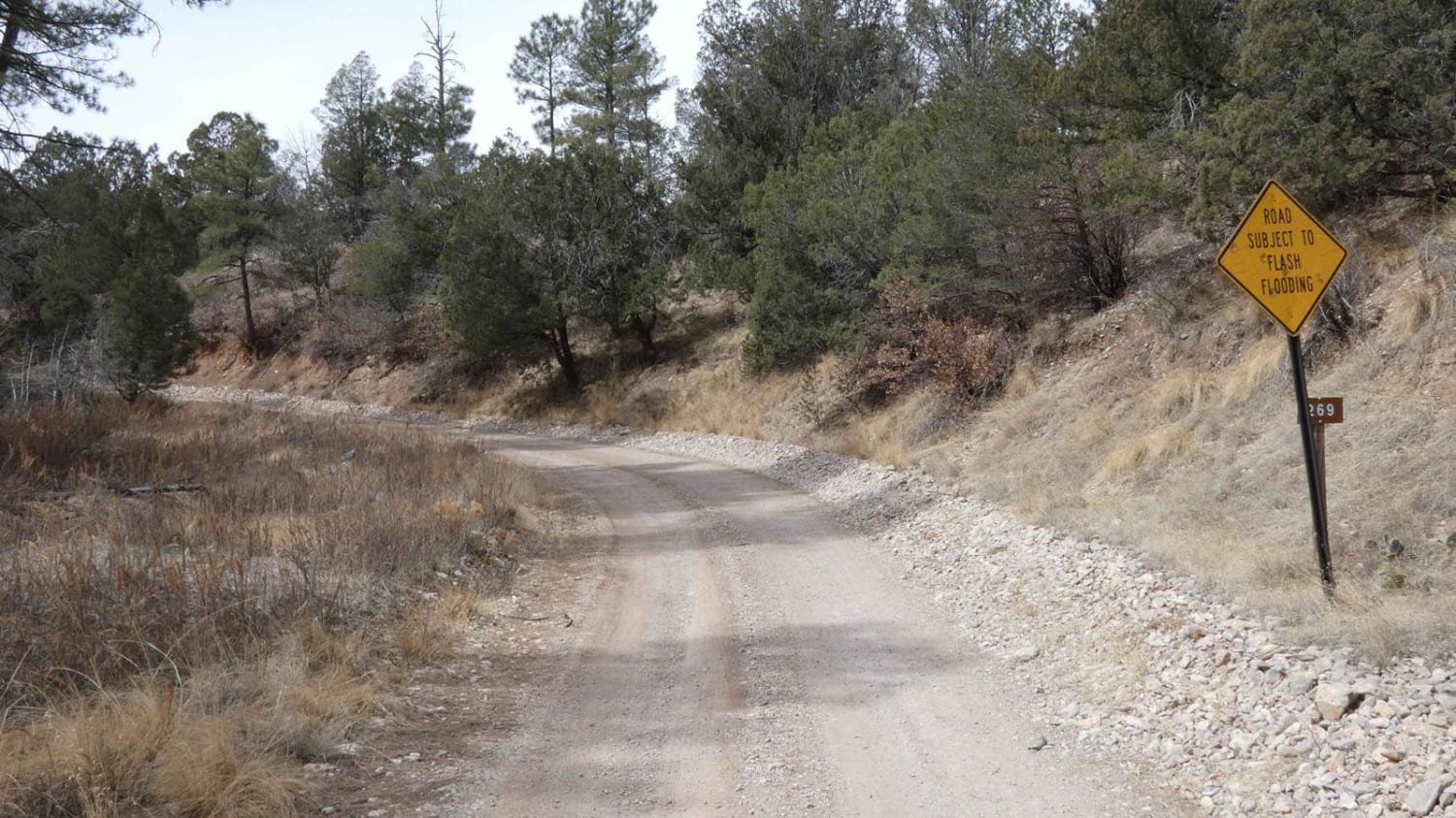
Curtis Canyon is a very easy-going trail in a lightly wooded area located in the heart of Lincoln National Forest. The trail surface is primarily dirt with some lightly rocky areas and small rock gardens.…
Learn more about Curtis Canyon
Total Miles
5.2
Tech Rating
2 Easy
Best Time
Spring, Summer, Fall, Winter
Learn more about Cut Out Loop
Cut Out Loop

Cut Out Loop

This trail is about 6 miles long right outside of Oro Grande New Mexico. There are many trails in the area that lead to old prospected mines. Many of the mines are closed off but…
Learn more about Cut Out Loop
Total Miles
5.6
Tech Rating
3 Easy
Best Time
Spring, Fall
Learn more about Dalton Canyon
Dalton Canyon

Dalton Canyon

This trail is one of the more accessible routes into the Pecos Mountains. Navigable by most cross-overs, this trail is a local favorite for camping and riding. The trail is mostly well-maintained gravel, with some…
Learn more about Dalton Canyon
Total Miles
2.6
Tech Rating
1 Easy
Best Time
Spring, Summer, Fall, Winter
Learn more about Davenport Canyon FS6
Davenport Canyon FS6

Davenport Canyon FS6

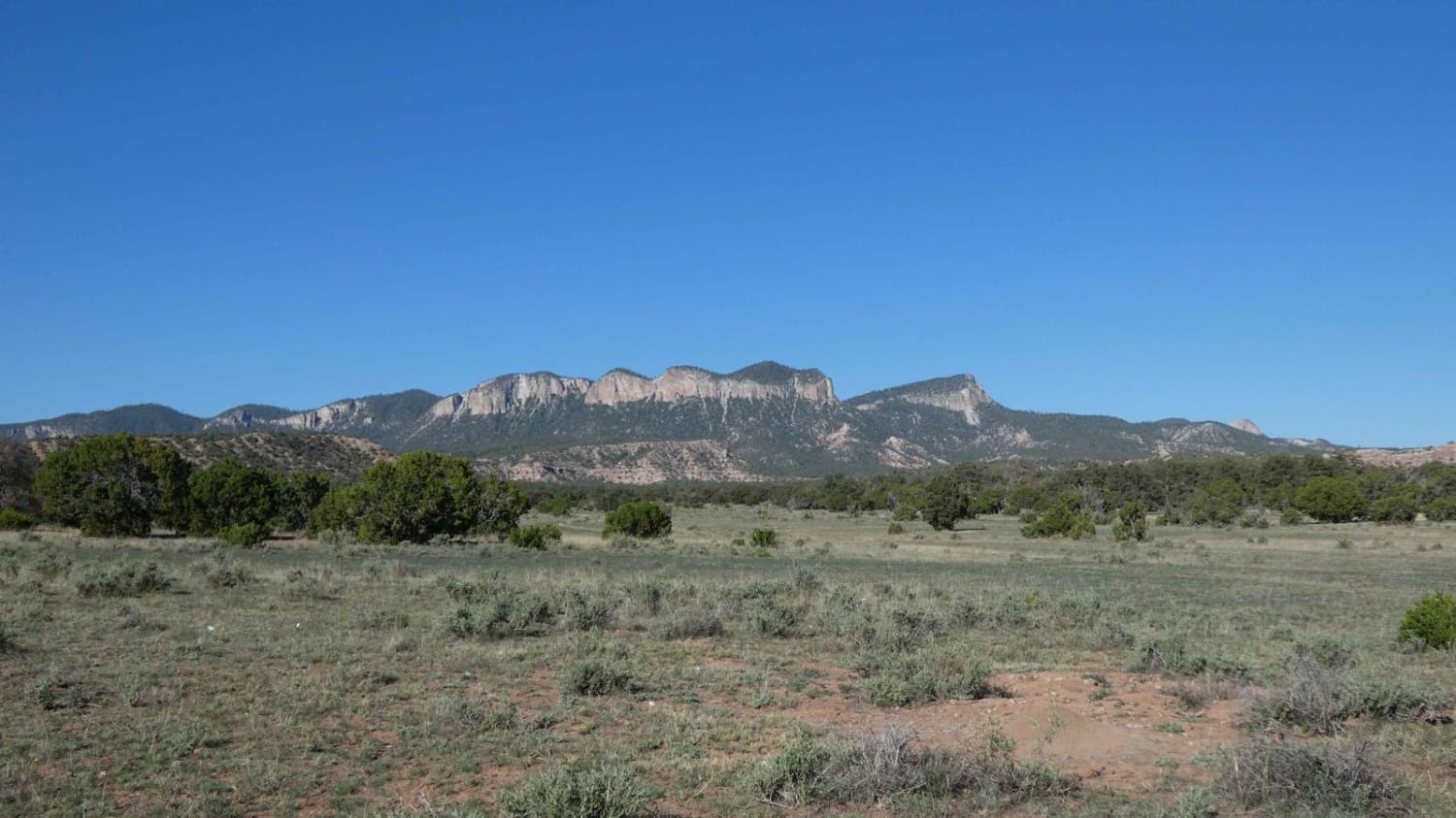
This out-and-back trail runs through the central portion of the Datil Mountain Range and offers a little bit of everything from dirt and rocks to low-level washes that have the potential to be water crossings…
Learn more about Davenport Canyon FS6
Total Miles
12.6
Tech Rating
3 Easy
Best Time
Spring, Summer, Fall, Winter
Learn more about Dead Dog Trail & Santa Fe Ranch
Dead Dog Trail & Santa Fe Ranch

Dead Dog Trail & Santa Fe Ranch

This road off of the Camino Real Road is an easy drive, except for a dip with soft sand early on crossing Alamo Creek. There are a couple of mud puddles that had bypasses. For…
Learn more about Dead Dog Trail & Santa Fe Ranch
Total Miles
4.3
Tech Rating
2 Easy
Best Time
Spring, Summer, Fall, Winter
Learn more about Deadman
Deadman

Deadman

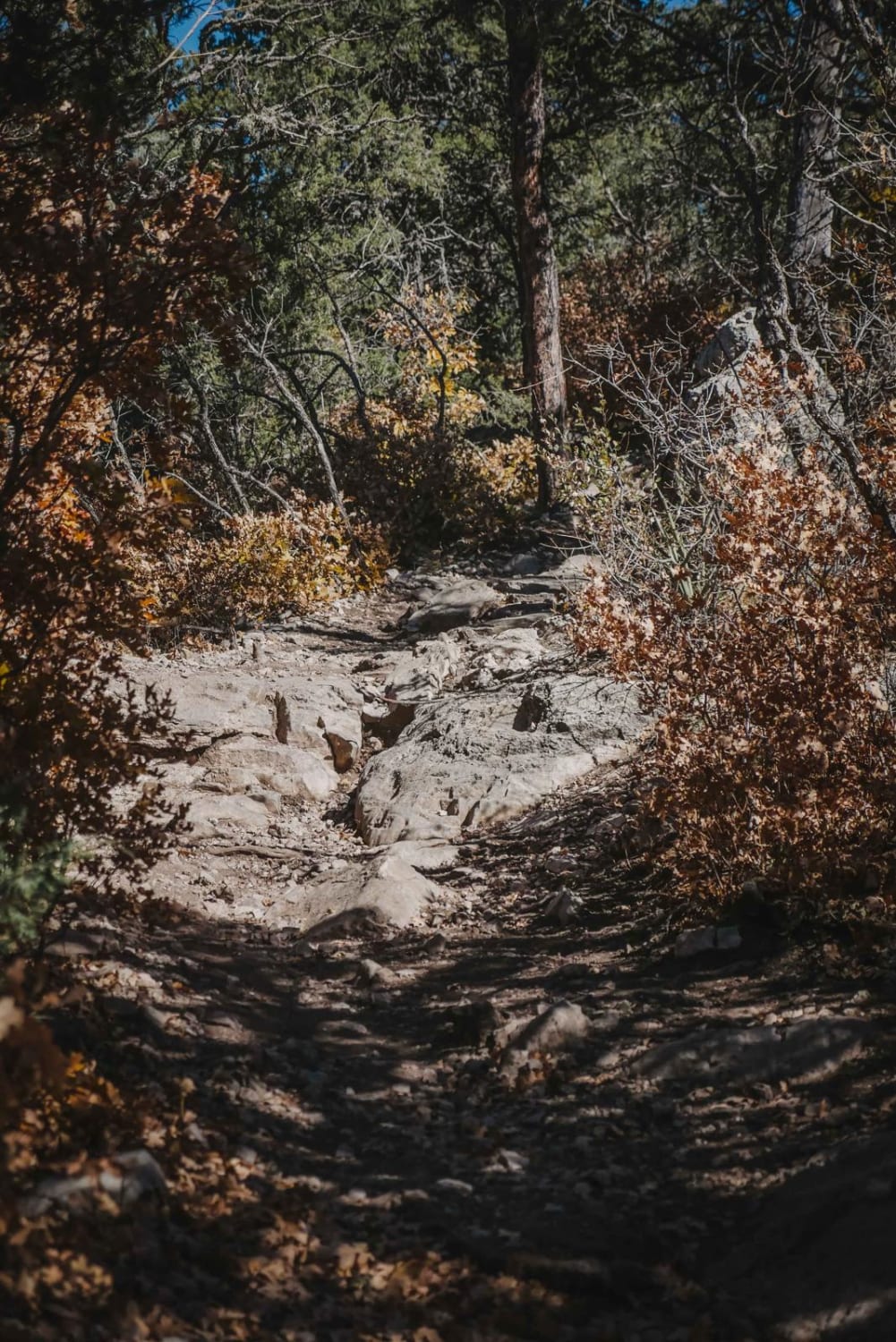
Deadman is an easy/moderate single track in the Manzanita Mountain trail system near Albuquerque, New Mexico. The northern half of the trail is a fast ripper; it's smooth with no rocks. The trees aren't so…
Learn more about Deadman
Total Miles
1.6
Tech Rating
4 Moderate
Best Time
Spring, Winter, Fall
Learn more about Deep Slough
Deep Slough

Deep Slough

Deep Slough connects from Sixteen Springs Canyon Road in the east, over to Count Road 99 in the west, and is a well-traveled road with several campsites of various sizes along the length of the…
Learn more about Deep Slough
Total Miles
5.3
Tech Rating
2 Easy
Best Time
Summer, Fall
Learn more about Deer Spring
Deer Spring

Deer Spring

Deer Spring is a point-to-point trail that connects FSR-139/Red Rock to FSR-936/Penasco Springs to the north. If the trail is accessed at the north end from Penasco Springs, drivers will start on a dirt and…
Learn more about Deer Spring
Total Miles
8.7
Tech Rating
4 Moderate
Best Time
Spring, Summer, Fall, Winter
Learn more about Delberts
Delberts

Delberts

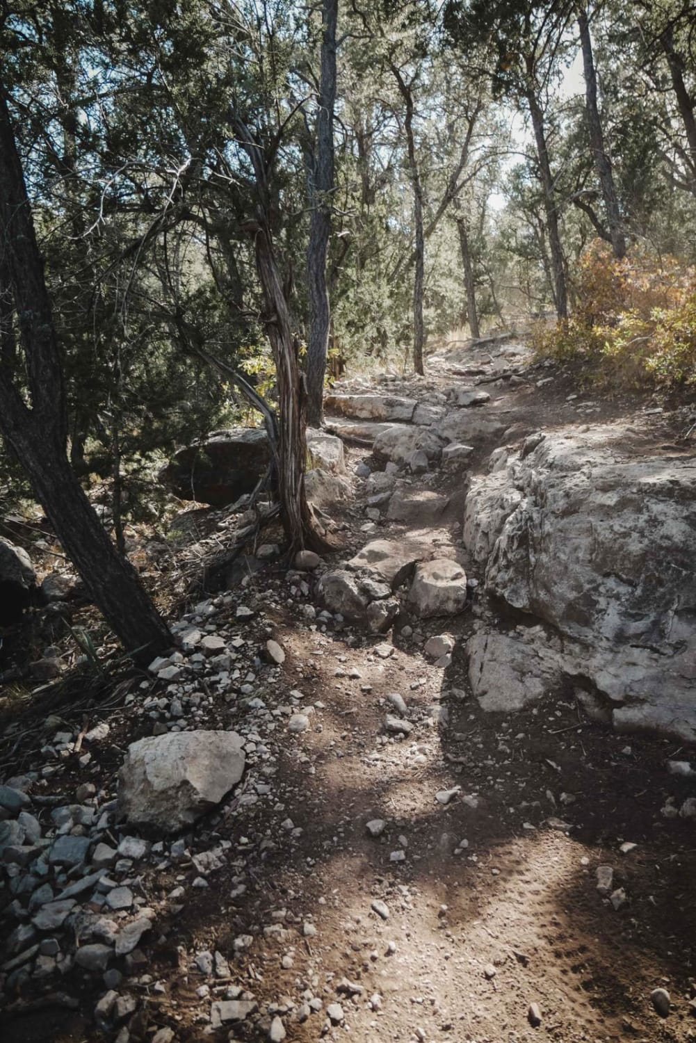
Delberts is a challenging single track in the Manzanita Mountain Trail System near Albuquerque, New Mexico that has lots of rock ledges, roots, and shelfy sections of trail. This trail is slightly harder than some…
Learn more about Delberts
Total Miles
4.1
Tech Rating
5 Moderate
Best Time
Spring, Fall, Winter
1 2 3 4 5 6 7 8 9 10 11 ... 21

The onX Offroad Difference

onX Offroad combines trail photos, descriptions, difficulty ratings, width restrictions, seasonality, and more in a user-friendly interface. Available on all devices, with offline access and full compatibility with CarPlay and Android Auto. Discover what you’re missing today!