Off-Road Trails in New Mexico

Discover off-road trails in New Mexico

Learn more about Water Canyon
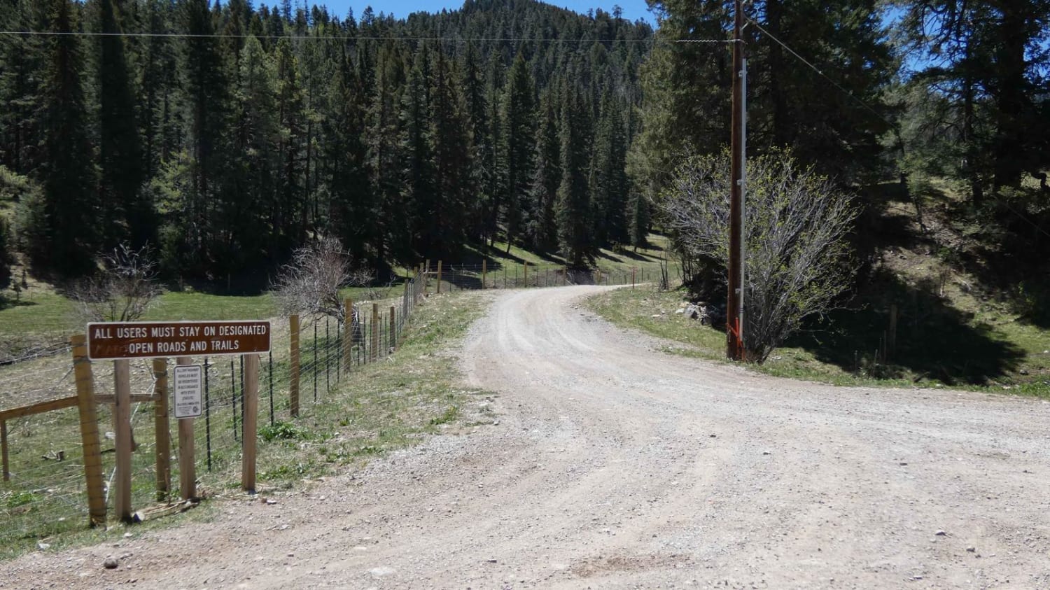
Water Canyon

Water Canyon

Water Canyon is found just off the Upper Rio Penasco Road near Marcia, NM south of Cloudcroft east of NM6563. The trail is generally two vehicles wide with small sections being slightly narrow due to…
Learn more about Water Canyon
Total Miles
2.4
Tech Rating
1 Easy
Best Time
Spring, Summer, Fall
Learn more about Wayne Canyon
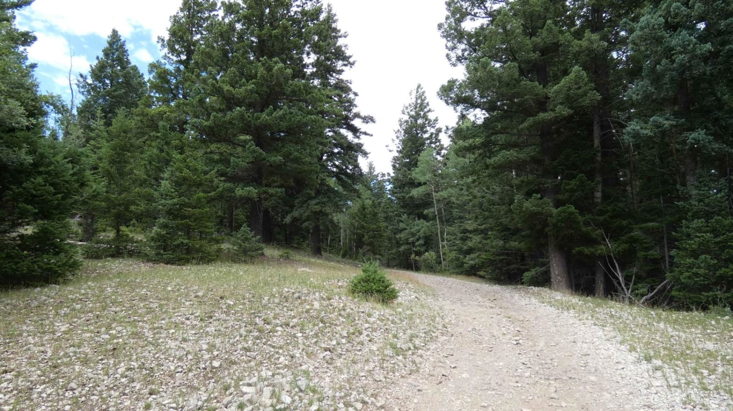
Wayne Canyon

Wayne Canyon

Wayne Canyon is a northbound spur off Benson Ridge that provides great additional camping spots in the area. The trail is primarily single-vehicle wide with some room to pass if needed. The trail appears to…
Learn more about Wayne Canyon
Total Miles
3.3
Tech Rating
1 Easy
Best Time
Spring, Summer, Fall, Winter
Learn more about West Boundary
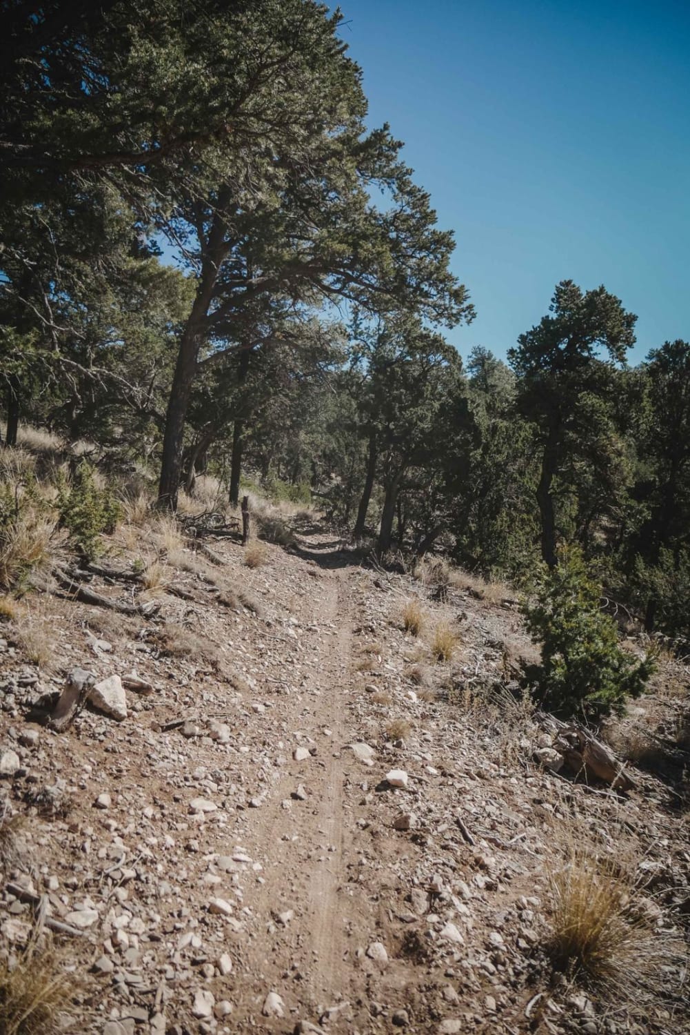
West Boundary

West Boundary

West Boundary is an easy single track in the Manzanita Mountain Trail System that goes north to south along the west boundary of this OHV area in the Cibola National Forest. The land on the…
Learn more about West Boundary
Total Miles
1.8
Tech Rating
3 Easy
Best Time
Spring, Winter, Fall
Learn more about West Mesa Loves Loop
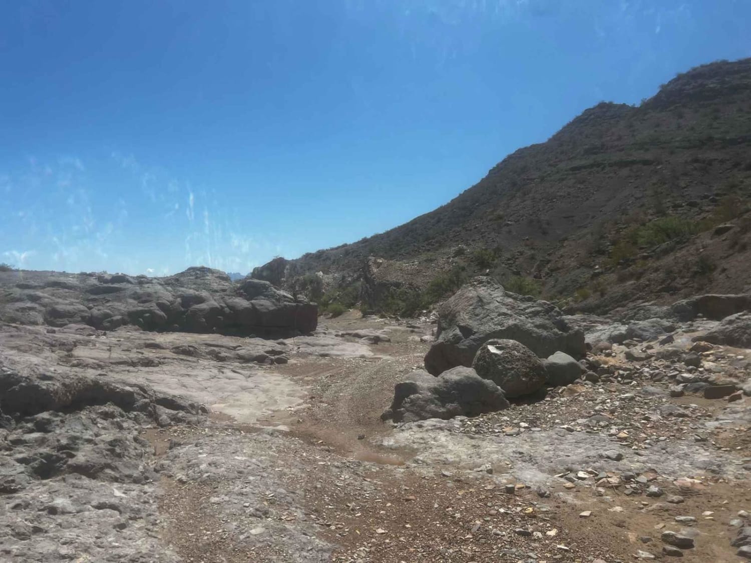
West Mesa Loves Loop

West Mesa Loves Loop

Some light sandy two-track slowly weaves into harder and deeper sand in a rocky canyon that loops over to another canyon with great views and awesome great views of the mesa from Aiden Hills OHV…
Learn more about West Mesa Loves Loop
Total Miles
51.8
Tech Rating
4 Moderate
Best Time
Spring, Summer, Fall, Winter
Learn more about West Mountain
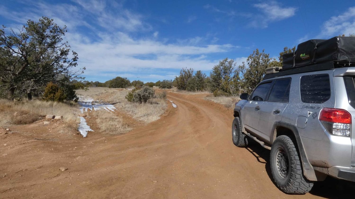
West Mountain

West Mountain

West Mountain is located just to the west of the Capitan Mountains and north of the town of Capitan, NM, and is a narrow, mostly single-vehicle wide, out-and-back trail with several spurs available to explore.…
Learn more about West Mountain
Total Miles
4.8
Tech Rating
3 Easy
Best Time
Spring, Summer, Fall, Winter
Learn more about West Red Canyon
West Red Canyon

West Red Canyon

Easily accessed from highway 52, this simple trail leads into the Cibola National Forest ending with a view of Mt. Welty. This trail passes private property, please be respectful. The end of this trail offers…
Learn more about West Red Canyon
Total Miles
6.4
Tech Rating
2 Easy
Best Time
Spring, Summer, Fall, Winter
Learn more about West Ridge
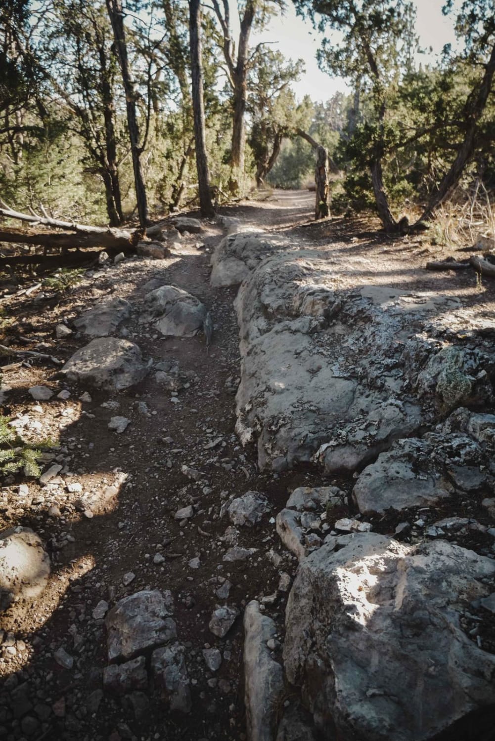
West Ridge

West Ridge

West Ridge is a 2.6-mile single track in the Manzanita Mountain Trail System near Albuquerque, New Mexico. The south end starts at the intersection with Otero Canyon and heads north. It starts on the south…
Learn more about West Ridge
Total Miles
2.7
Tech Rating
5 Moderate
Best Time
Spring, Fall, Winter
Learn more about West-End Slope
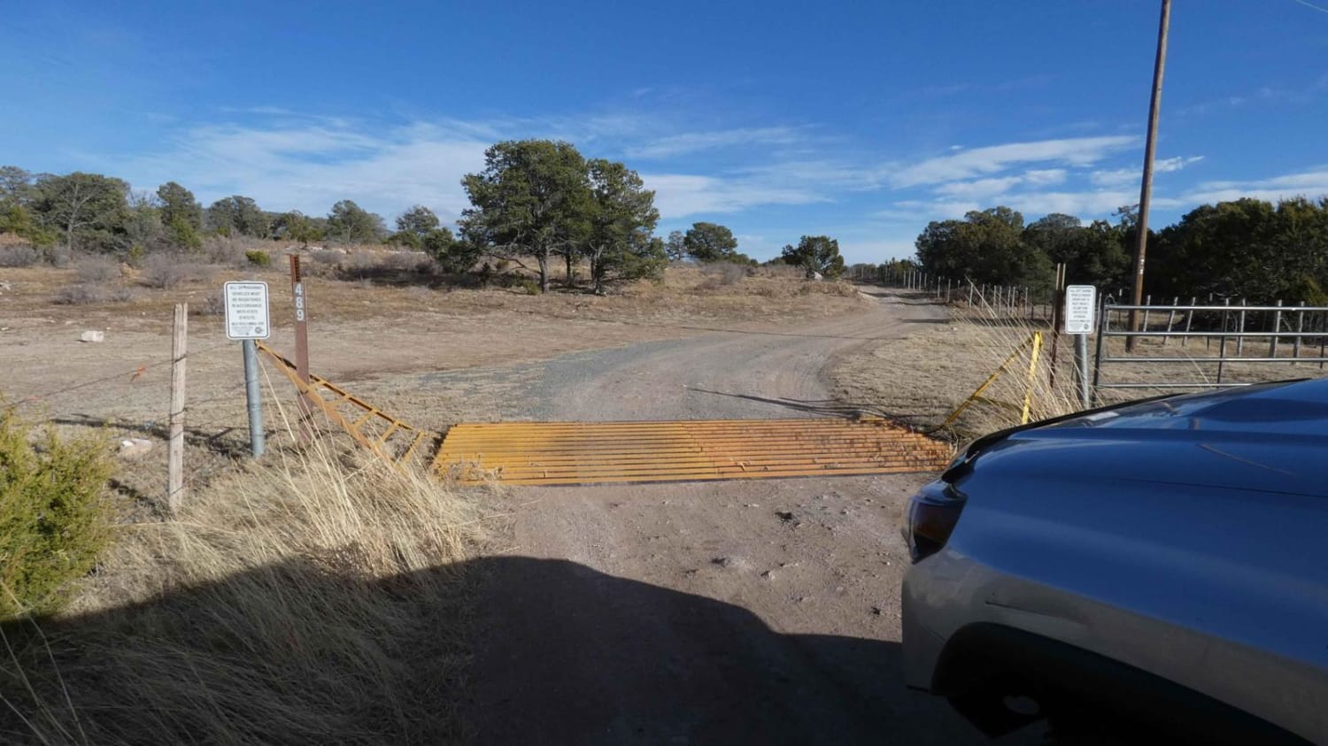
West-End Slope

West-End Slope

West-End Slope is deceiving and escalates quickly to a very tight dead-end. The trail starts out on a dirt surface that is easily passable by most 4x4s, with some rutted areas that are very muddy…
Learn more about West-End Slope
Total Miles
2.9
Tech Rating
4 Moderate
Best Time
Spring, Summer, Fall
Learn more about Westside Road
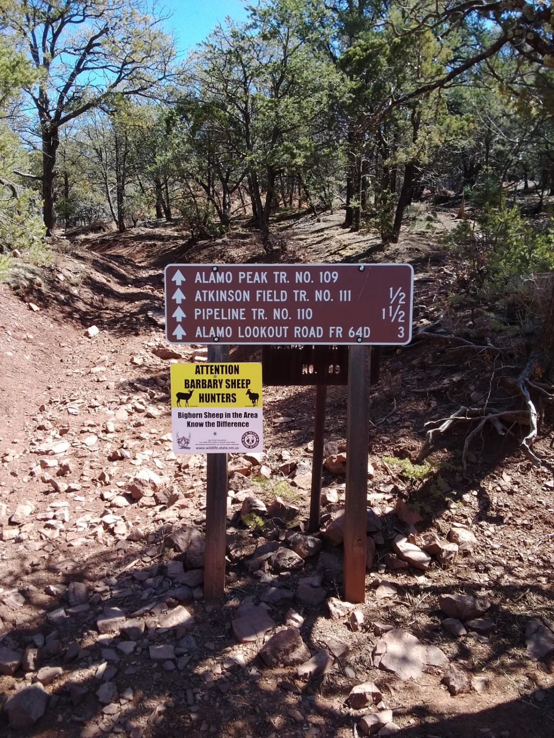
Westside Road

Westside Road

This is a great beginner trail full of hiking, camping and hunting opportunities. The trail is about 28 miles with moderate traffic. There are a plethora of spurs that lead to ATV trails, other trails…
Learn more about Westside Road
Total Miles
11.5
Tech Rating
2 Easy
Best Time
Spring, Summer, Fall
Learn more about Westside Road - Mule Peak to Joplin Ridge
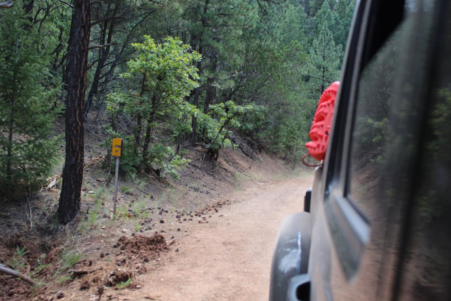
Westside Road - Mule Peak to Joplin Ridge

Westside Road - Mule Peak to Joplin Ridge

This trail is easily traversed in all types of vehicles, but low-clearance vehicles may have a hard time due to loose rocks, dirt ruts and larger rocks that protrude from the surface. The width of…
Learn more about Westside Road - Mule Peak to Joplin Ridge
Total Miles
3.9
Tech Rating
2 Easy
Best Time
Spring, Summer, Fall
Learn more about Wet Burnt Can
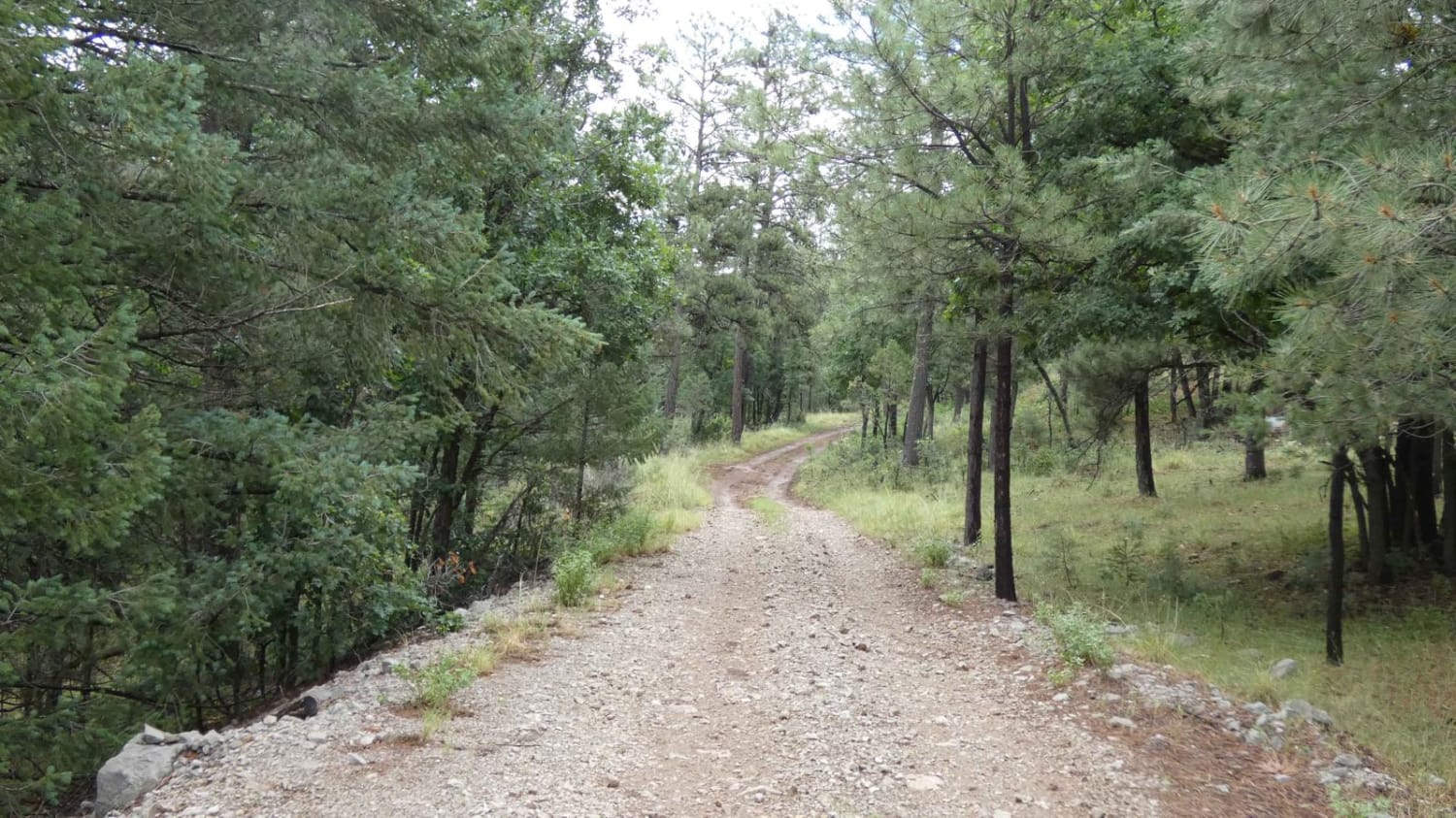
Wet Burnt Can

Wet Burnt Can

This out-and-back trail is a combination of dirt and rocks. While there are no obstacles larger than 10", there are some areas that have the potential to be shallow water crossings. During dry weather, the…
Learn more about Wet Burnt Can
Total Miles
4.2
Tech Rating
2 Easy
Best Time
Spring, Summer, Fall, Winter
Learn more about Wetherill Way - FR 527
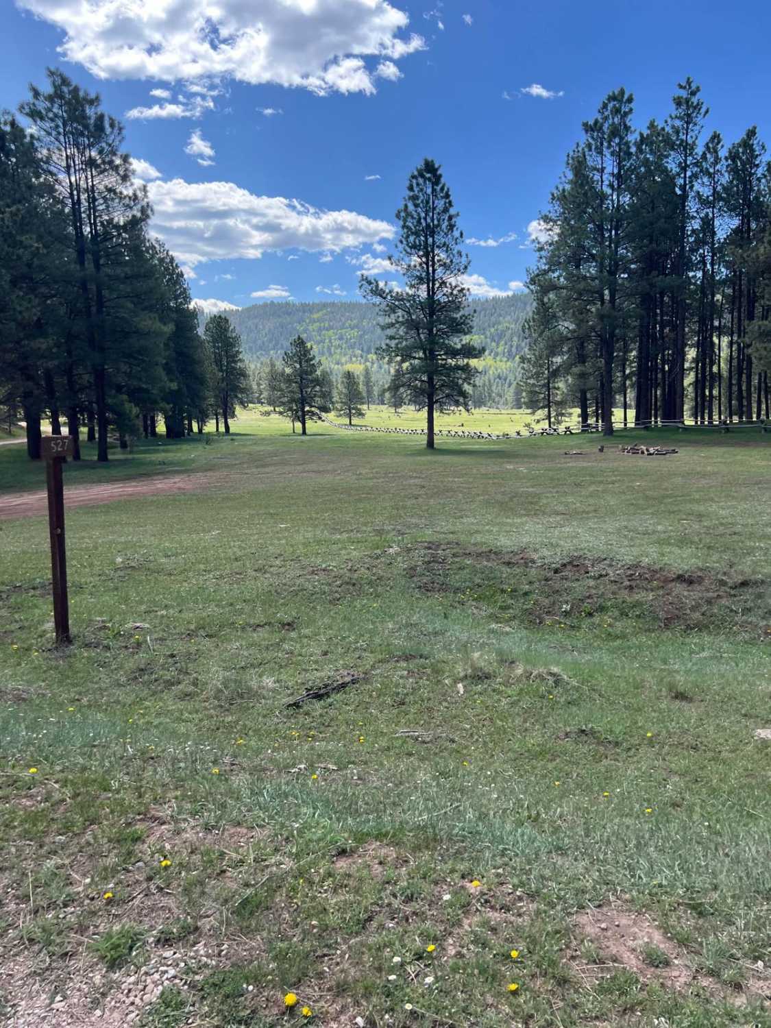
Wetherill Way - FR 527

Wetherill Way - FR 527

This short, easy route has gorgeous dispersed camping. At the eastern end to the north is Elk Meadows- FS 315B, a more challenging trail, that connects to FS 315- Easy Cruise, and to the south…
Learn more about Wetherill Way - FR 527
Total Miles
0.7
Tech Rating
2 Easy
Best Time
Spring, Summer, Fall
Learn more about Where is Waldo?
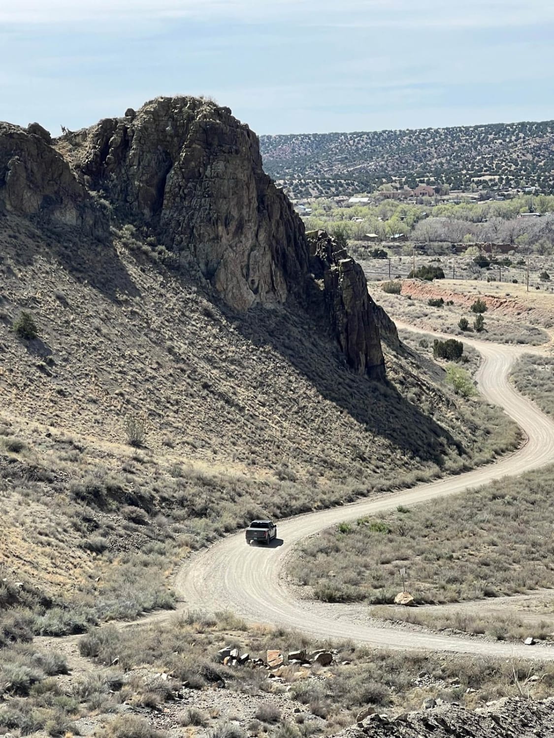
Where is Waldo?

Where is Waldo?

This is an easy route that connects I-25 at the top of La Bajada Hill with Highway 14 at the Village of Cerrillos. For many years, there was a well-marked turnoff to Waldo on I-25.…
Learn more about Where is Waldo?
Total Miles
7.7
Tech Rating
2 Easy
Best Time
Spring, Summer, Fall, Winter
Learn more about Wild Horse Shortcut
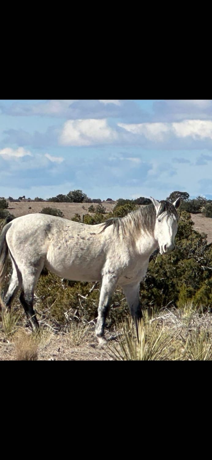
Wild Horse Shortcut

Wild Horse Shortcut

This route is easy but can be more difficult due to weather conditions. This shortcut connects I-25 to Highway 14, the Turquoise Trail. There is private land on both sides of the road with barbed…
Learn more about Wild Horse Shortcut
Total Miles
10.3
Tech Rating
1 Easy
Best Time
Spring, Summer, Fall, Winter
Learn more about Wildcat Run
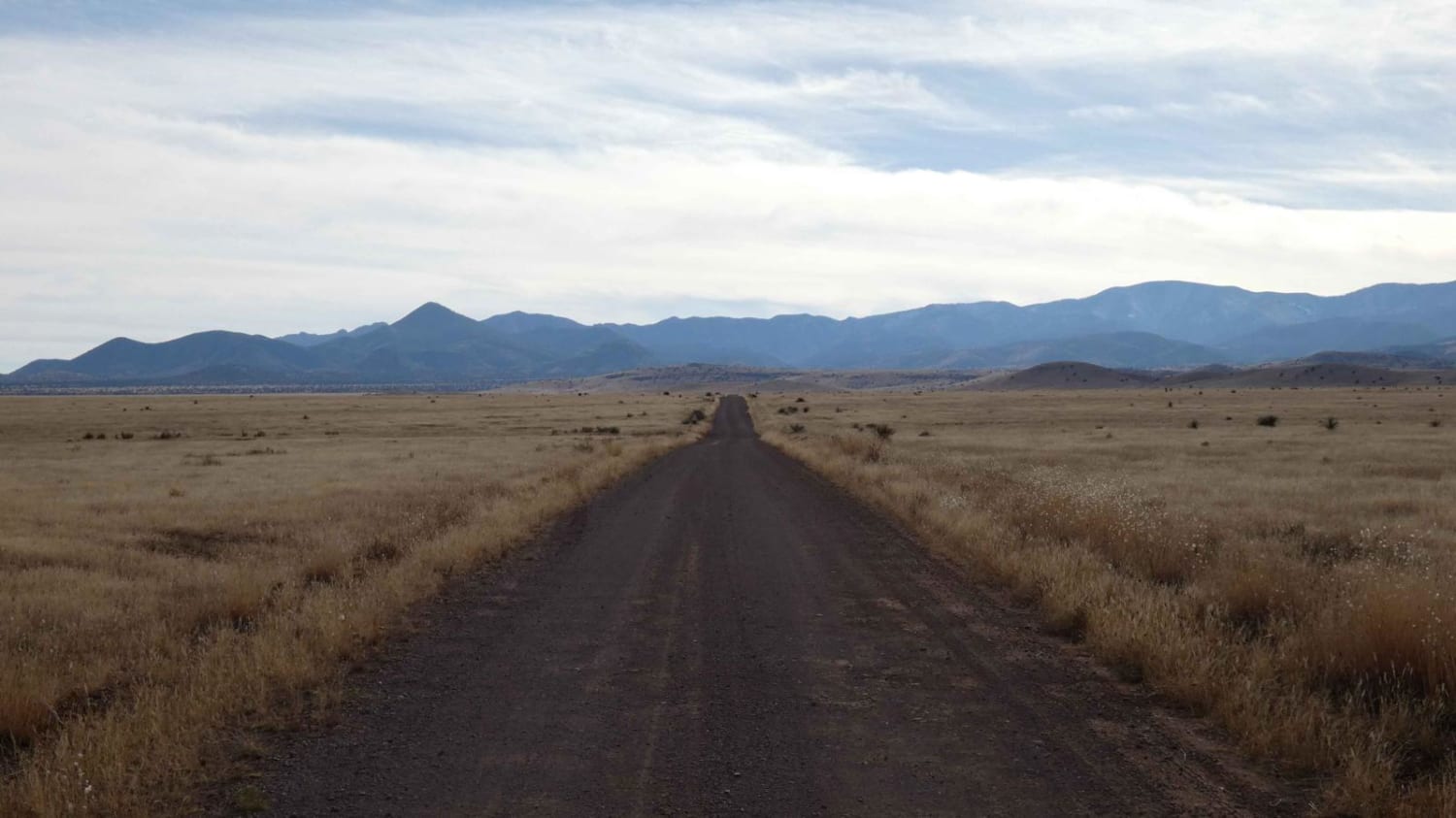
Wildcat Run

Wildcat Run

Wildcat Run is a combination of FSR-378 and FSR-378A that runs deeper into the foothills of the mountains to the west as it passes by Wildcat Peak to the north. The track begins as a…
Learn more about Wildcat Run
Total Miles
9.9
Tech Rating
3 Easy
Best Time
Spring, Summer, Fall, Winter
Learn more about Wildhorse
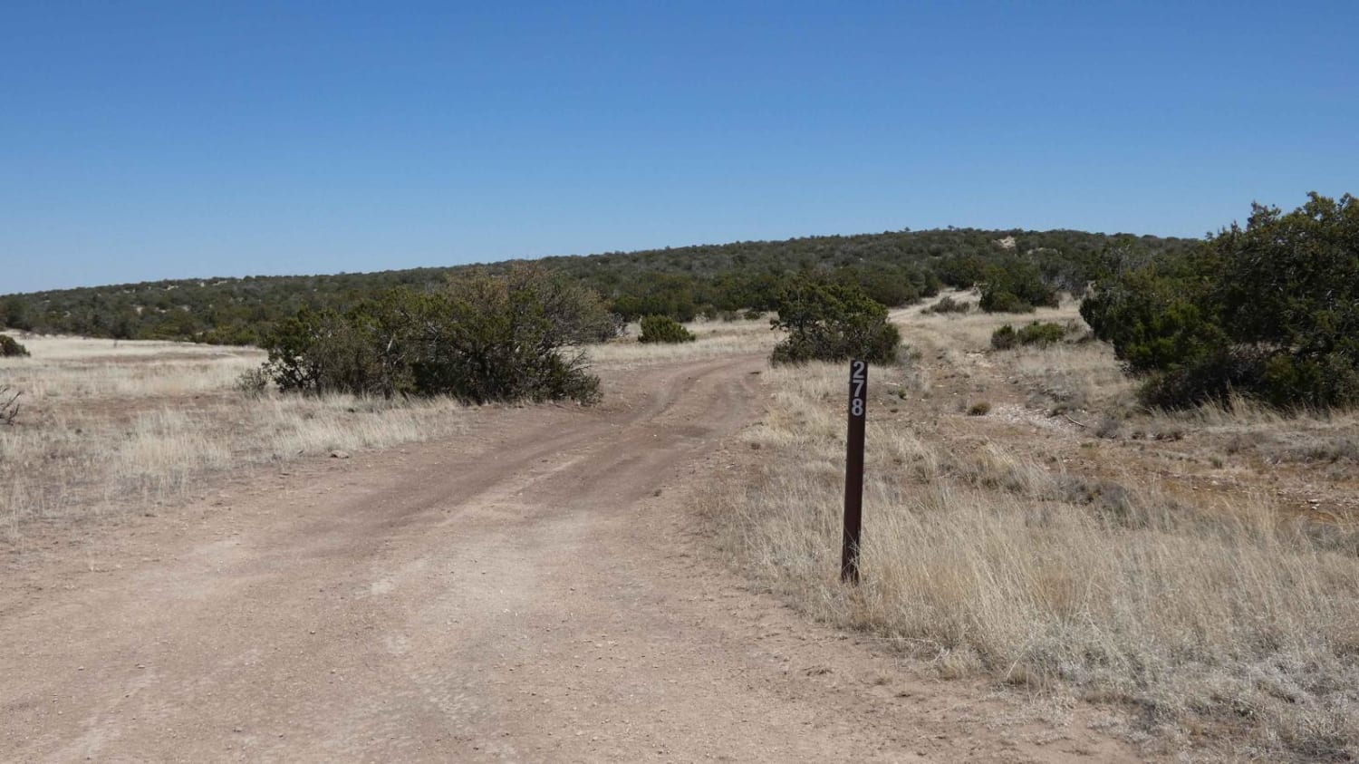
Wildhorse

Wildhorse

Wildhorse is found directly off the Guadalupe Rim Road and runs east. There are a few motorized and hiking spurs off the main trail that are not labeled. The trail has a limited number of…
Learn more about Wildhorse
Total Miles
4.8
Tech Rating
3 Easy
Best Time
Spring, Summer, Fall, Winter
Learn more about Willow Creek/Shrine Mine Road
Willow Creek/Shrine Mine Road

Willow Creek/Shrine Mine Road

This is an easy scenic drive with great views. This road is a great way to get into the Burro Mountains from the north or exit back to pavement from the south. It crosses private…
Learn more about Willow Creek/Shrine Mine Road
Total Miles
7.0
Tech Rating
2 Easy
Best Time
Spring, Summer, Winter, Fall
Learn more about Windmill
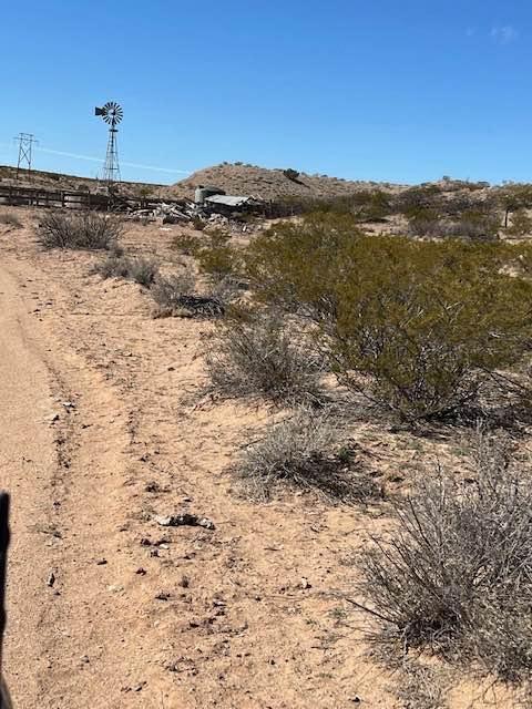
Windmill

Windmill

This is a spur trail off Riley CR 12. It winds around some small hills and ends at a picturesque windmill, watering tank, and building ruins. The majestic Ladron mountains create the backdrop. Locals target…
Learn more about Windmill
Total Miles
1.2
Tech Rating
3 Easy
Best Time
Spring, Summer, Fall, Winter
Learn more about Windmill Way
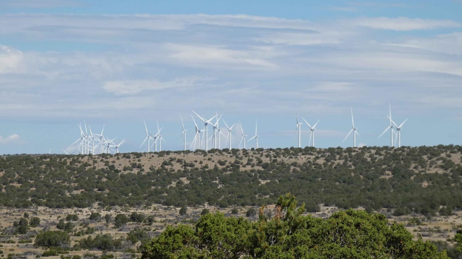
Windmill Way

Windmill Way

Windmill Way has a decent variety of terrain along its route. Composed of a combination of soft sand, dirt, and rocks, the trail winds its way to the southwest giving views of the surrounding mountains…
Learn more about Windmill Way
Total Miles
6.4
Tech Rating
2 Easy
Best Time
Spring, Summer, Fall, Winter
Learn more about Wolf Draw Trail
Wolf Draw Trail

Wolf Draw Trail

This trail offers a straightforward out-and-back journey through a stunning canyon, tracing Forest Road 313 for about a quarter of its length. As you embark on the trail, you'll encounter a picturesque water hole (one…
Learn more about Wolf Draw Trail
Total Miles
8.0
Tech Rating
2 Easy
Best Time
Spring

The onX Offroad Difference

onX Offroad combines trail photos, descriptions, difficulty ratings, width restrictions, seasonality, and more in a user-friendly interface. Available on all devices, with offline access and full compatibility with CarPlay and Android Auto. Discover what you’re missing today!