Off-Road Trails in New Mexico

Discover off-road trails in New Mexico

Learn more about The Causeway
The Causeway

The Causeway

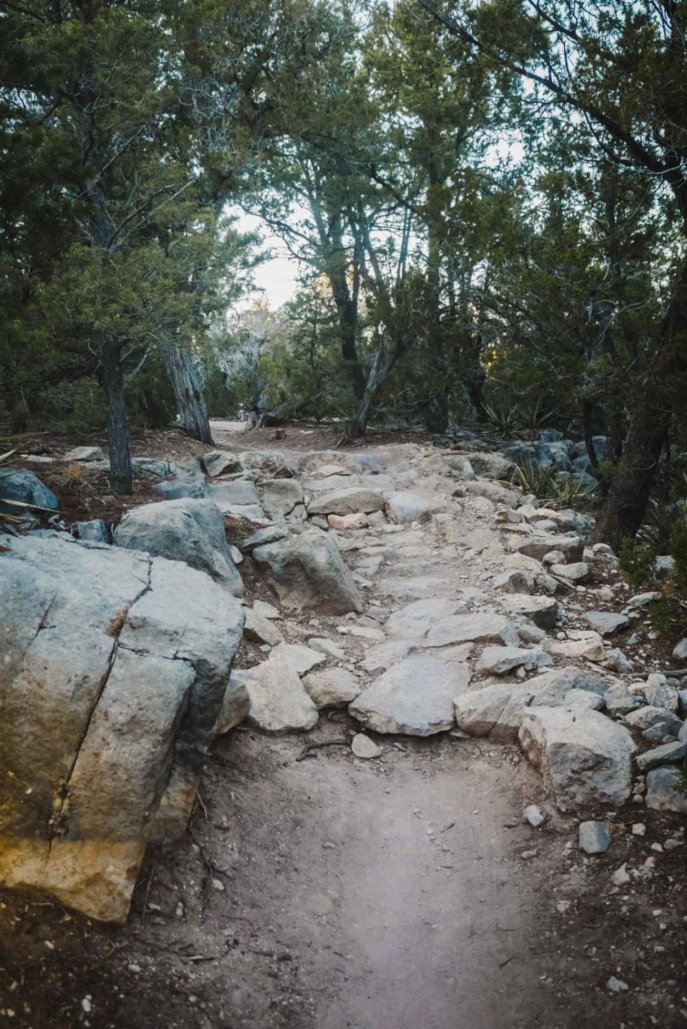
The Causeway begins just past the entrance to Hidden Valley and immediately begins with a steep dirt climb that keeps gaining in elevation and is littered with small loose rocks. As you continue to climb…
Learn more about The Causeway
Total Miles
0.8
Tech Rating
4 Moderate
Best Time
Spring, Summer, Winter
Learn more about The Mine Shaft
The Mine Shaft

The Mine Shaft

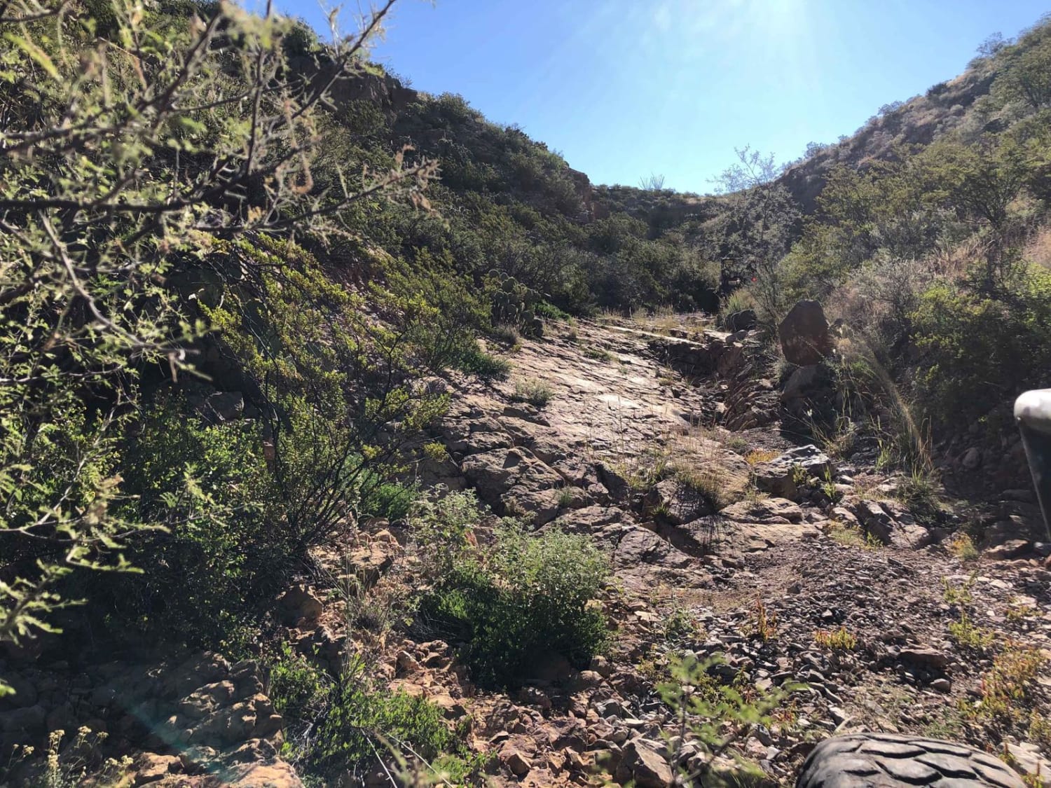
The Mine Shaft begins the adventure with a small boulder field of differential catchers and after these obstacles are avoided, the trail is a series of 6-7 foot ledges which are slowly covered up to…
Learn more about The Mine Shaft
Total Miles
1.0
Tech Rating
8 Difficult
Best Time
Spring, Fall, Winter
Learn more about Three Bottles
Three Bottles

Three Bottles

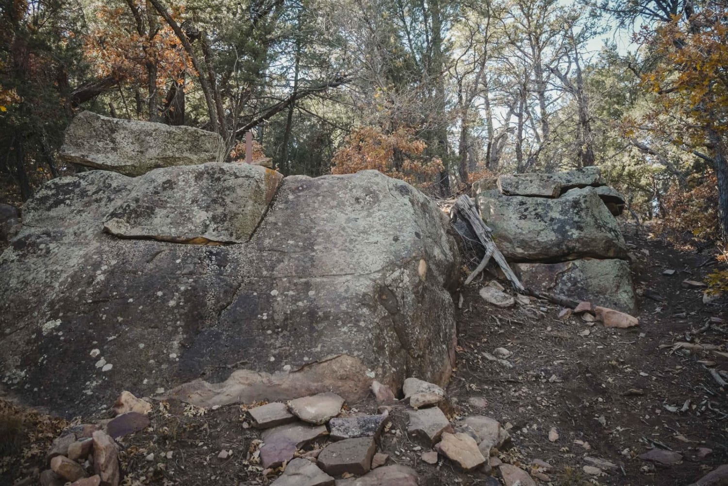
Three Bottles is the hardest trail in the Manzanita Mountain Trail System near Albuquerque, New Mexico. This trail is best for running south to north, as it goes through several huge rock problems that are…
Learn more about Three Bottles
Total Miles
2.8
Tech Rating
9 Difficult
Best Time
Winter, Fall, Spring
Learn more about Three Mile Canyon Road
Three Mile Canyon Road

Three Mile Canyon Road

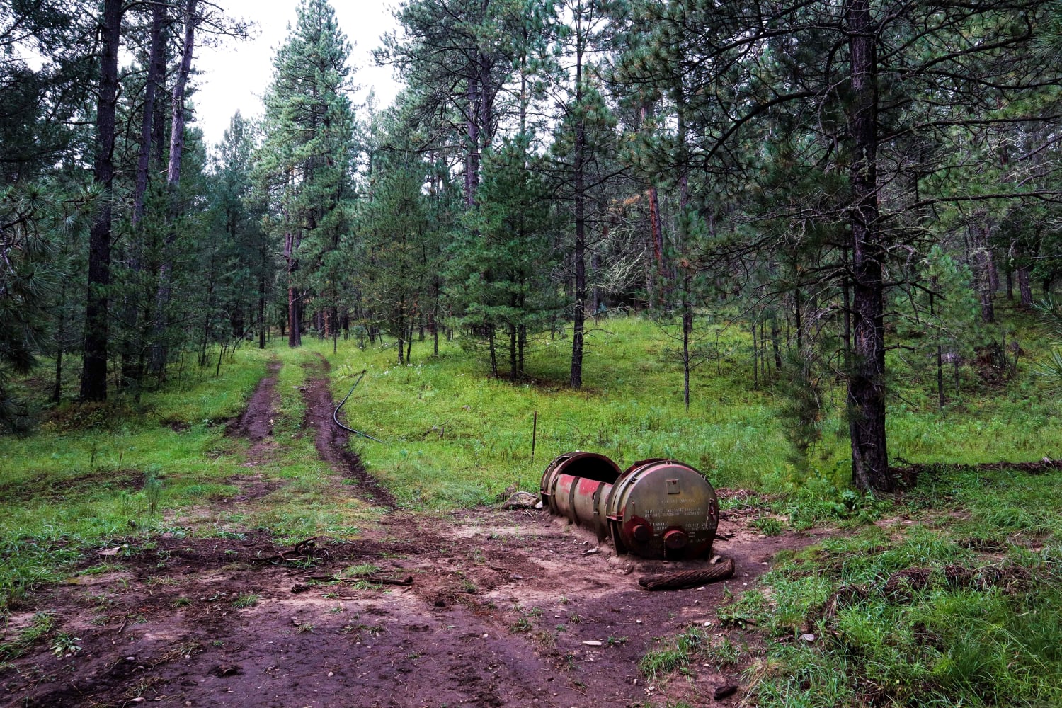
Three Mile Canyon Road is a Forest Service road located in the Sacramento Mountain range and Lincoln National Forest. The trail winds into the canyon and then back out to lead the traveler to Carr…
Learn more about Three Mile Canyon Road
Total Miles
10.0
Tech Rating
3 Easy
Best Time
Spring, Summer, Fall
Learn more about Timberon Overland Express
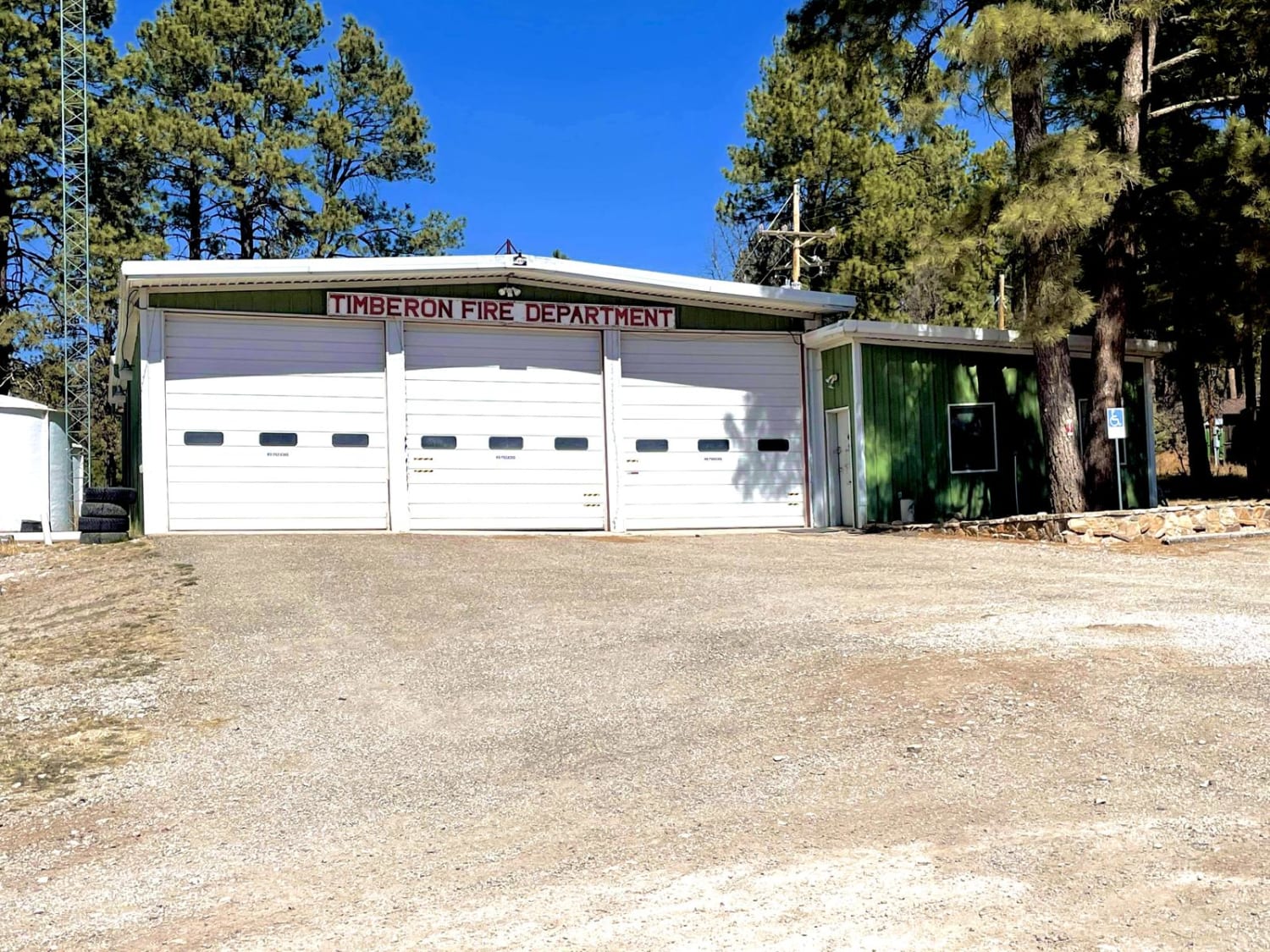
Timberon Overland Express

Timberon Overland Express

The Timberon Overland Express is a great way to get a taste of overlanding without much preparation. The route can be run in either direction, as the entire trip is on county roads which cross…
Learn more about Timberon Overland Express
Total Miles
79.7
Tech Rating
2 Easy
Best Time
Spring, Fall
Learn more about Tower Peak via Rosedale Road
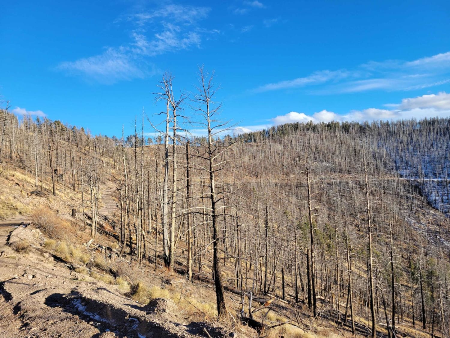
Tower Peak via Rosedale Road

Tower Peak via Rosedale Road

This is an alternate route approaching the highlands surrounding Mt. Withington. Highlights of this road include unique rock formations, sweeping vistas, and downright spooky drives through previously burned forests. One section of the route drives…
Learn more about Tower Peak via Rosedale Road
Total Miles
17.0
Tech Rating
2 Easy
Best Time
Spring, Summer, Fall, Winter
Learn more about Tunnel
Tunnel

Tunnel

Tunnel is a 2.6-mile-long single track in the Manzanita Mountain Trail System. It is accessed either from the Tunnel Trailhead or Otero Trailhead off State Highway 337, south of the town of Tijeras, New Mexico.…
Learn more about Tunnel
Total Miles
2.4
Tech Rating
5 Moderate
Best Time
Spring, Fall, Winter
Learn more about Tunnel Springs Road
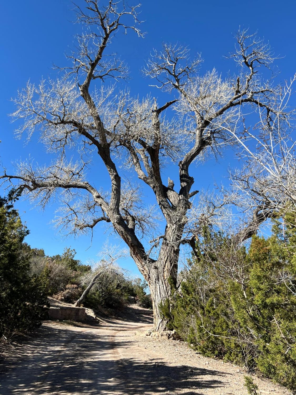
Tunnel Springs Road

Tunnel Springs Road

This short up-and-back road travels through private land and ends at the Tunnel Springs Trailhead with great views. It is steep in spots with some large holes and ruts. The parking area is small. The…
Learn more about Tunnel Springs Road
Total Miles
2.9
Tech Rating
2 Easy
Best Time
Spring, Summer, Fall, Winter
Learn more about Unity Mine FS 305AA
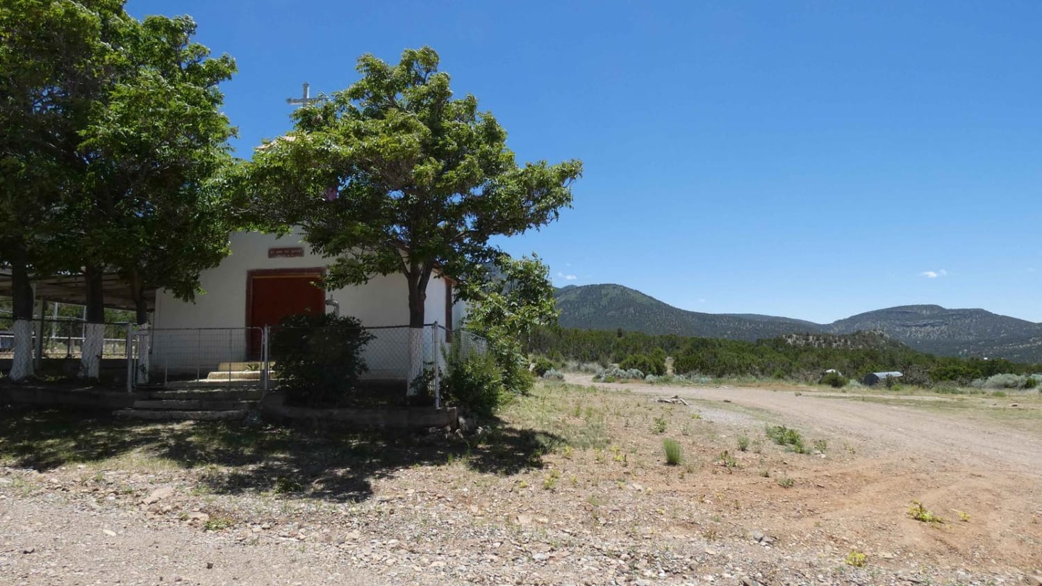
Unity Mine FS 305AA

Unity Mine FS 305AA

Unity Mine is a trail located just to the south of the Kelly, NM ghost town and southeast of Magdalena, NM. Rich in New Mexico mining history, this trail leads up a narrow mountain road…
Learn more about Unity Mine FS 305AA
Total Miles
2.1
Tech Rating
3 Easy
Best Time
Spring, Summer, Fall, Winter
Learn more about Upper Diablo Canyon Rd
Upper Diablo Canyon Rd

Upper Diablo Canyon Rd

This short road is somewhat deceiving as it appears to take you to a water pump station and nothing more. At the very end of the road is a single spot for dry primitive camping…
Learn more about Upper Diablo Canyon Rd
Total Miles
0.9
Tech Rating
3 Easy
Best Time
Spring, Summer, Fall, Winter
Learn more about Upper Gold Gulch
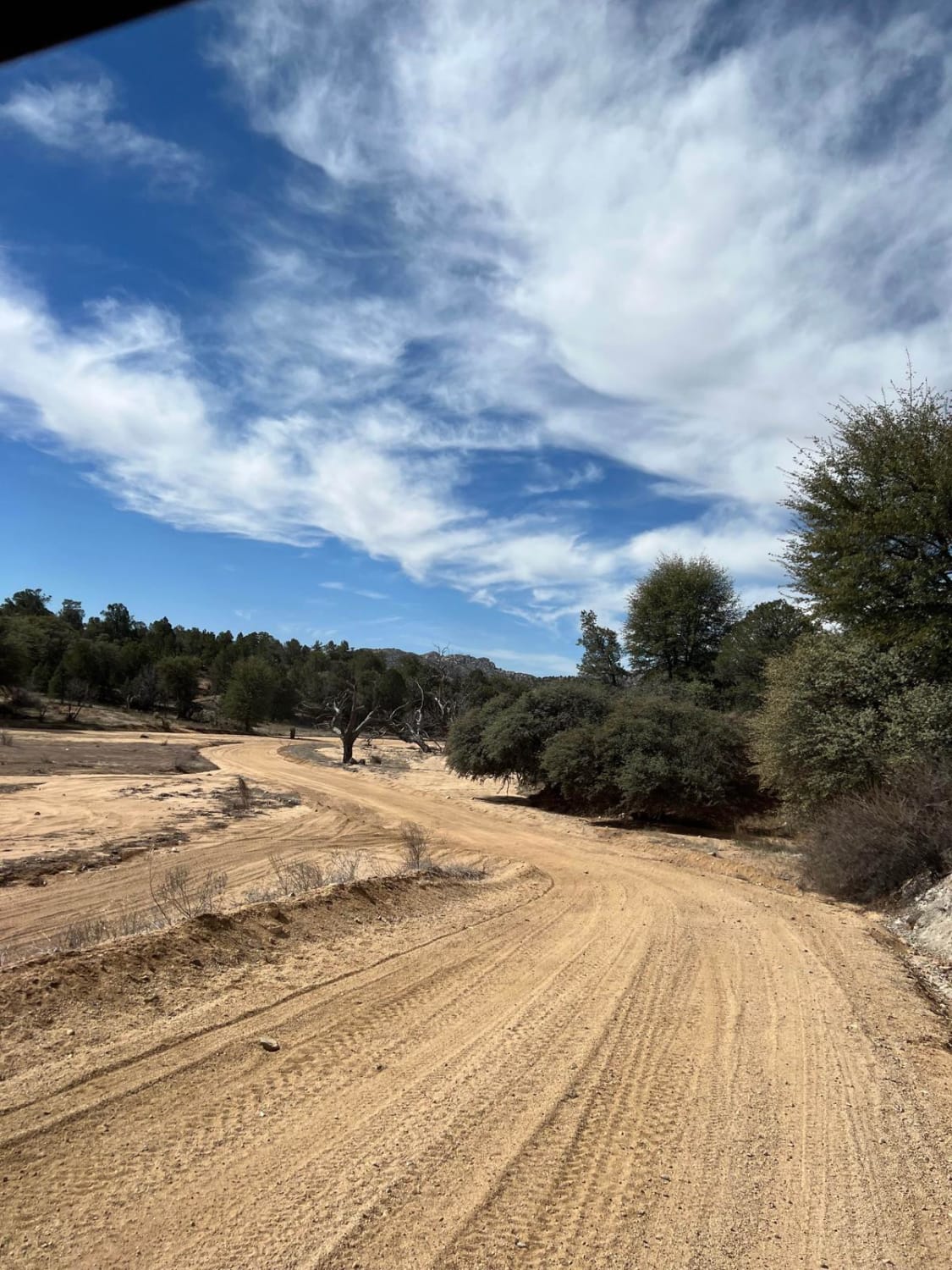
Upper Gold Gulch

Upper Gold Gulch

This is an easy, sandy route through gorgeous terrain. The shoulders of the road are deep sand and should be avoided. The rocks, Alligator Juniper, Pinon Trees, Cholla Cactus and Palm Yuccas create a spectacular…
Learn more about Upper Gold Gulch
Total Miles
4.0
Tech Rating
2 Easy
Best Time
Spring, Summer, Fall
Learn more about Ute Canyon
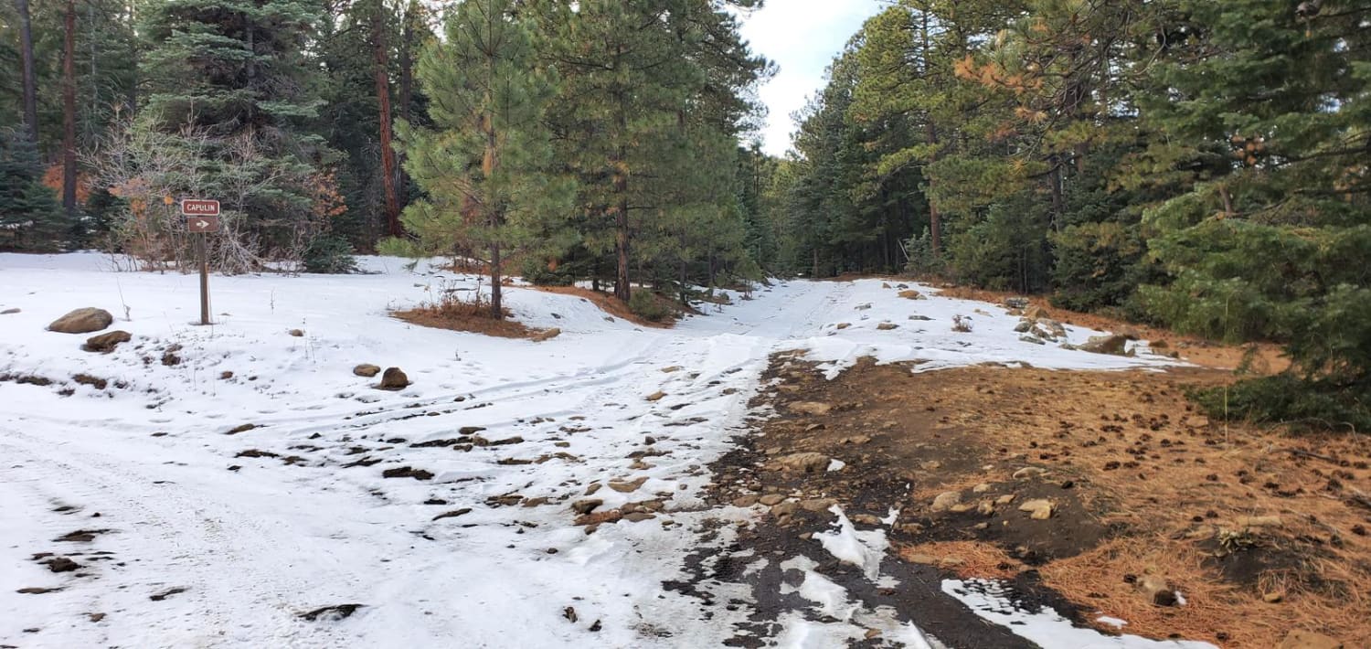
Ute Canyon

Ute Canyon

A nice in-and-back trail on forestry service roads through the Santa Fe National Forest near Ledoux, NM and Morphy Lake State Park. This is a woodcutting area so there can be the occasional traffic, but…
Learn more about Ute Canyon
Total Miles
6.0
Tech Rating
3 Easy
Best Time
Spring, Summer, Fall, Winter
Learn more about Valle Grande Edge
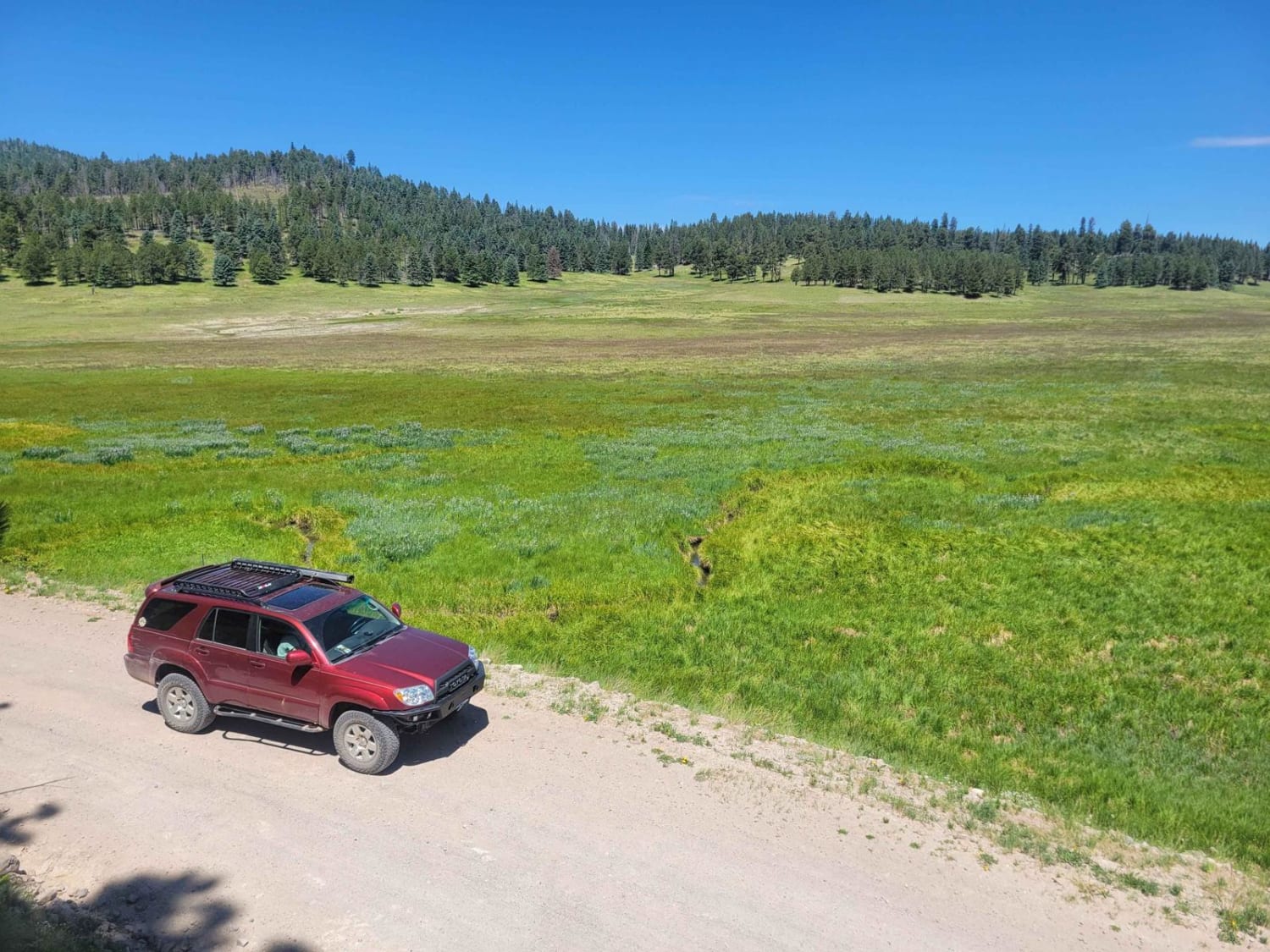
Valle Grande Edge

Valle Grande Edge

For those seeking unique vistas in the cool New Mexico high country, Valles Caldera is a must-visit opportunity. This is the main route through the center of Valles Caldera National Preserve. It crosses a wide-open…
Learn more about Valle Grande Edge
Total Miles
14.4
Tech Rating
1 Easy
Best Time
Spring, Summer, Fall
Learn more about Valle San Antonio Road
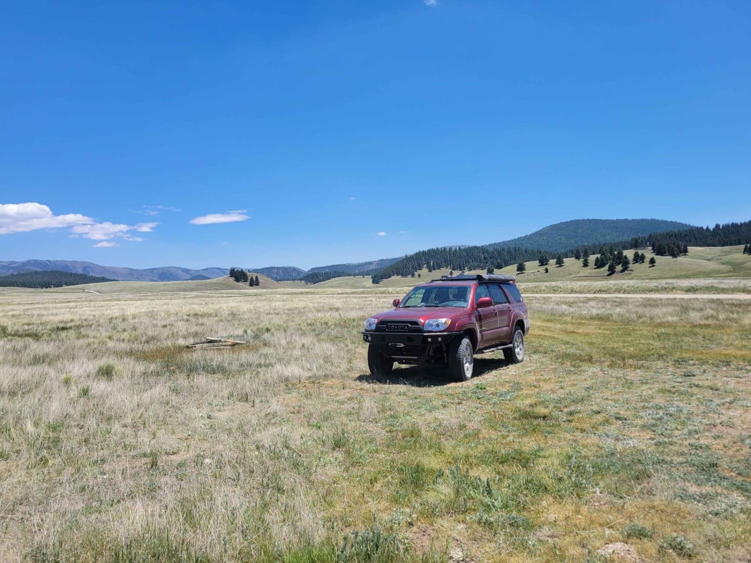
Valle San Antonio Road

Valle San Antonio Road

Valle San Antonio forms the main portion of the backcountry in the northern half of Valles Caldera. This wide valley has a small creek running through the bottom, with numerous opportunities for fishing and hiking,…
Learn more about Valle San Antonio Road
Total Miles
4.2
Tech Rating
1 Easy
Best Time
Spring, Summer, Fall
Learn more about Valle Toledo Road
Valle Toledo Road

Valle Toledo Road

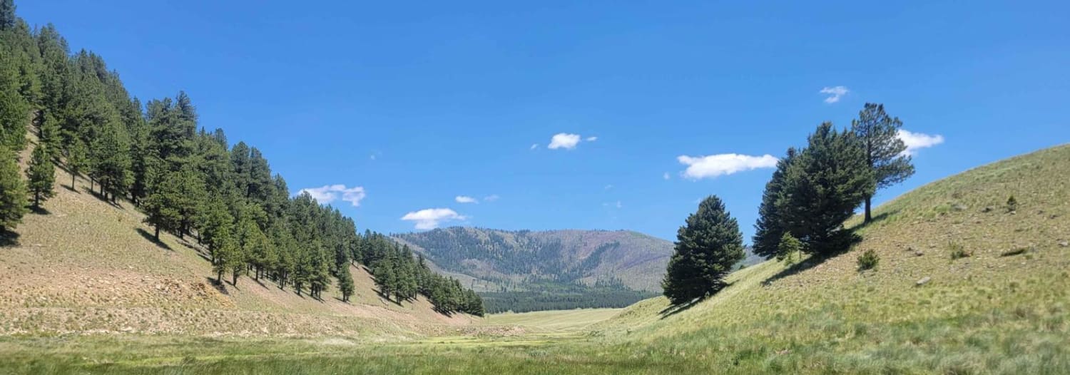
This scenic route drives through the eastern edge of Valle San Antonio, before going through a ravine and opening into the wide open spaces of Valle Toledo. It is the primary access route for many…
Learn more about Valle Toledo Road
Total Miles
3.5
Tech Rating
1 Easy
Best Time
Spring, Summer, Fall
Learn more about Valle Vidal - FR 1950
Valle Vidal - FR 1950

Valle Vidal - FR 1950

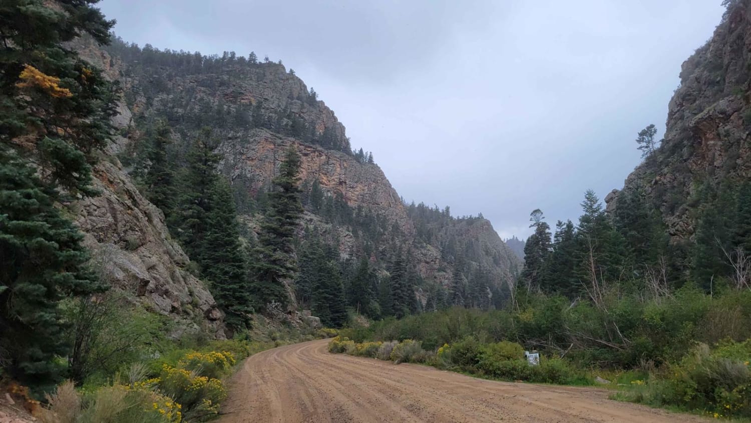
This route is a beautiful forest road that takes you into the Carson National Forest/Sangre De Christo Mountains. The beginning of the trail immediately kicks off with stunning, towering rock cliffs on either side as…
Learn more about Valle Vidal - FR 1950
Total Miles
8.5
Tech Rating
1 Easy
Best Time
Summer, Fall
Learn more about Valley of Dreams East
Valley of Dreams East

Valley of Dreams East

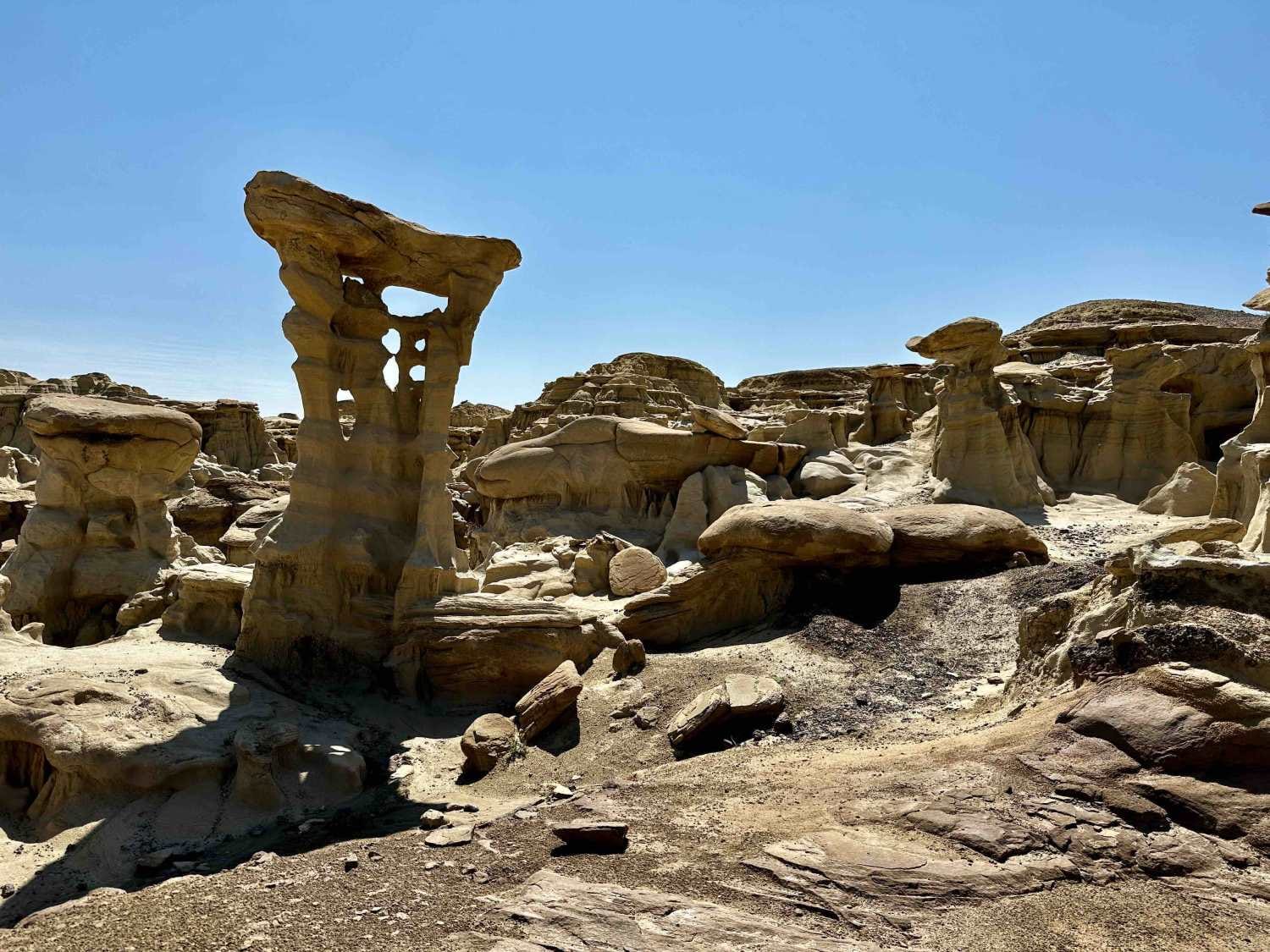
This is a point-to-point route that takes you from Road 550 in Nageezi to the Valley of Dreams trailhead/parking lot. The first quarter to half mile or so is paved but quickly turns to a…
Learn more about Valley of Dreams East
Total Miles
19.9
Tech Rating
2 Easy
Best Time
Fall, Spring, Summer, Winter
Learn more about Valley View
Valley View

Valley View

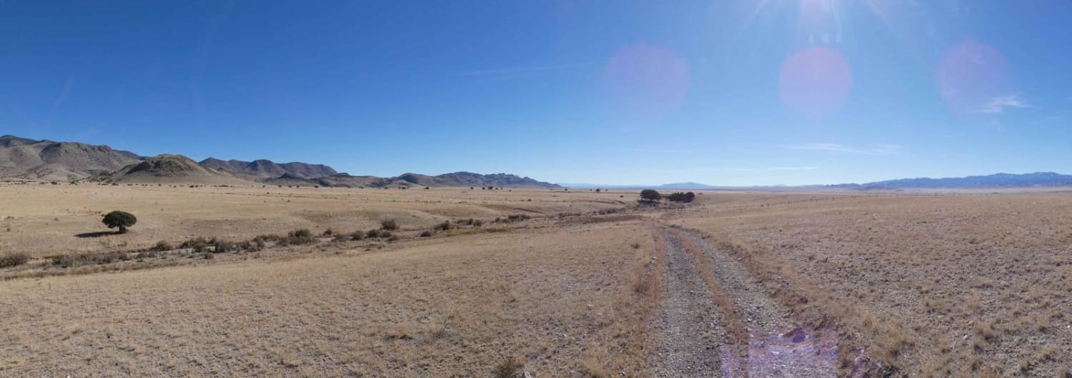
Valley View is a spur that continues southward off of Muleshoe/FSR 234 and provides a great view of almost all the surrounding mountains in this area of the Cibola National Forest. The trail features a…
Learn more about Valley View
Total Miles
4.8
Tech Rating
3 Easy
Best Time
Spring, Summer, Fall, Winter
Learn more about Wandering Wake
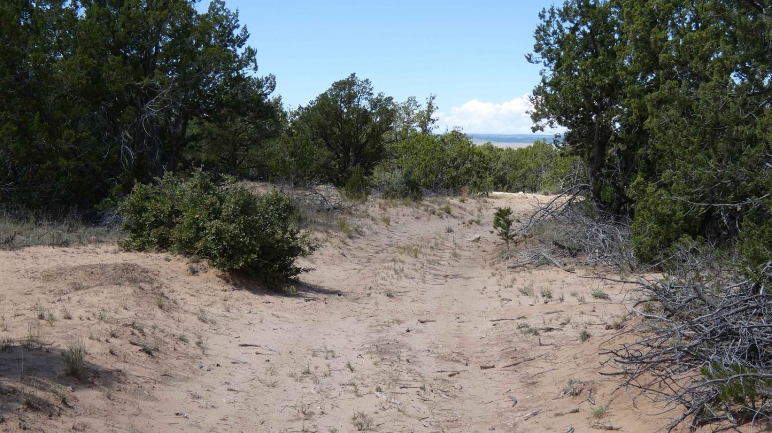
Wandering Wake

Wandering Wake

Wandering Wake is a trail that shows minimal signs of use and is very primitive with no signs of maintenance being performed. The surface changes frequently from dirt to sand with some smaller rocky sections…
Learn more about Wandering Wake
Total Miles
6.2
Tech Rating
2 Easy
Best Time
Spring, Summer, Fall, Winter
Learn more about Warpath
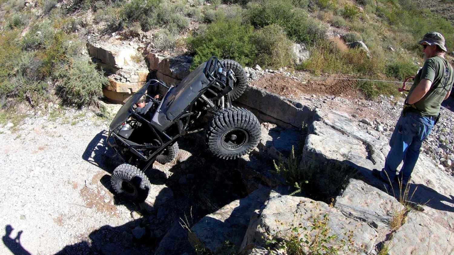
Warpath

Warpath

Warpath is located just east of the Caballo Reservoir. Warpath is a legendary trail full of obstacles and large boulders from one end to the other. There are non-stop hardcore obstacles, including the biggest obstacle…
Learn more about Warpath
Total Miles
0.7
Tech Rating
9 Difficult
Best Time
Spring, Fall, Winter, Summer

The onX Offroad Difference

onX Offroad combines trail photos, descriptions, difficulty ratings, width restrictions, seasonality, and more in a user-friendly interface. Available on all devices, with offline access and full compatibility with CarPlay and Android Auto. Discover what you’re missing today!