Off-Road Trails in New Mexico

Discover off-road trails in New Mexico

Learn more about Palo Duroso Canyon
Palo Duroso Canyon

Palo Duroso Canyon

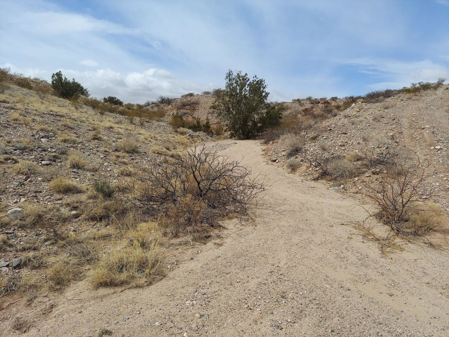
This trail is on the back side of the Sandia Mountain range. You can access this trail via Highway 165 in Placitas, New Mexico, or Highway 536 in Cedar Crest, New Mexico, off Highway 14.…
Learn more about Palo Duroso Canyon
Total Miles
8.3
Tech Rating
1 Easy
Best Time
Spring, Summer, Fall
Learn more about Palomos Gap
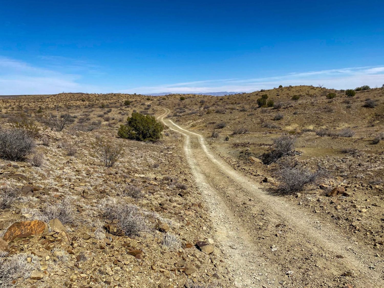
Palomos Gap

Palomos Gap

Palomos gap is a fun variable New Mexico trail South East of Truth or Consequences. The route takes you from maintained dirt roads, through soft sand river beds, and more technical rocky narrow canyon trails.…
Learn more about Palomos Gap
Total Miles
25.3
Tech Rating
4 Moderate
Best Time
Summer, Fall
Learn more about Parsons - FSR108
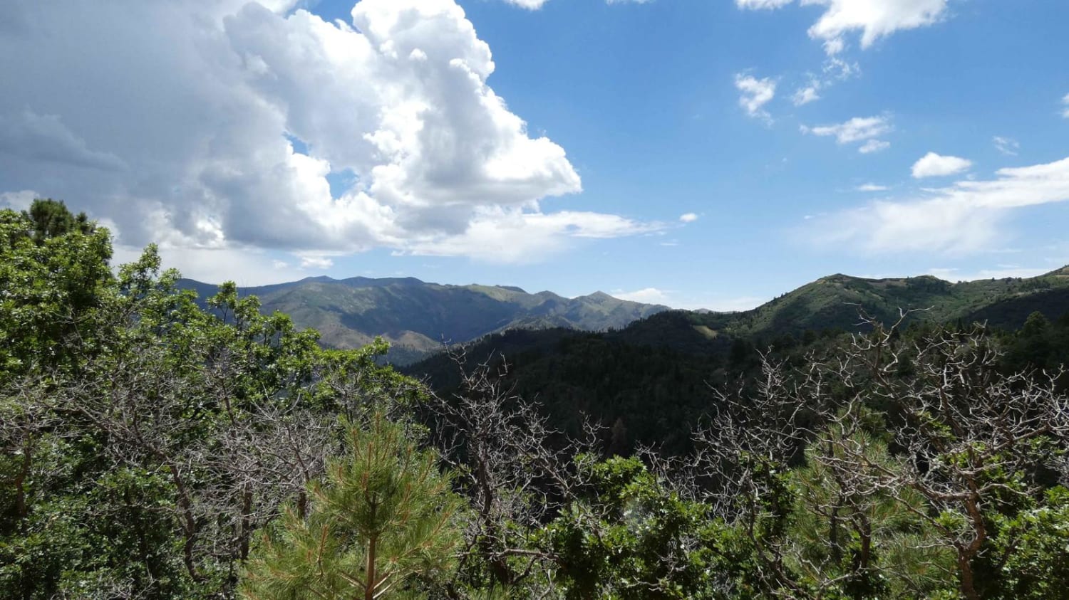
Parsons - FSR108

Parsons - FSR108

Parsons is a connecting spur that runs from the end of Nogal Canyon/FSR-400 to Bonito Canyon to the south. The surface is a combination of dirt and rock and appears to be very well maintained.…
Learn more about Parsons - FSR108
Total Miles
4.4
Tech Rating
1 Easy
Best Time
Spring, Summer, Fall, Winter
Learn more about Pecos Barillas 83
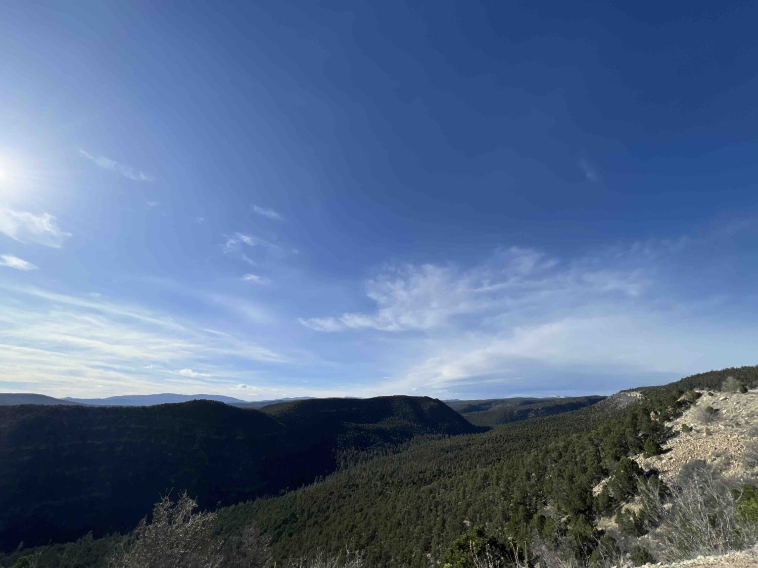
Pecos Barillas 83

Pecos Barillas 83

When I tell people I'm in New Mexico, they automatically think about the desert, but the Santa Fe National forest encompasses 1.6 million acres of mountains, valley's and mesa's. This trail ranges from an elevation…
Learn more about Pecos Barillas 83
Total Miles
13.0
Tech Rating
1 Easy
Best Time
Spring, Summer, Fall
Learn more about Pecos River Cruise
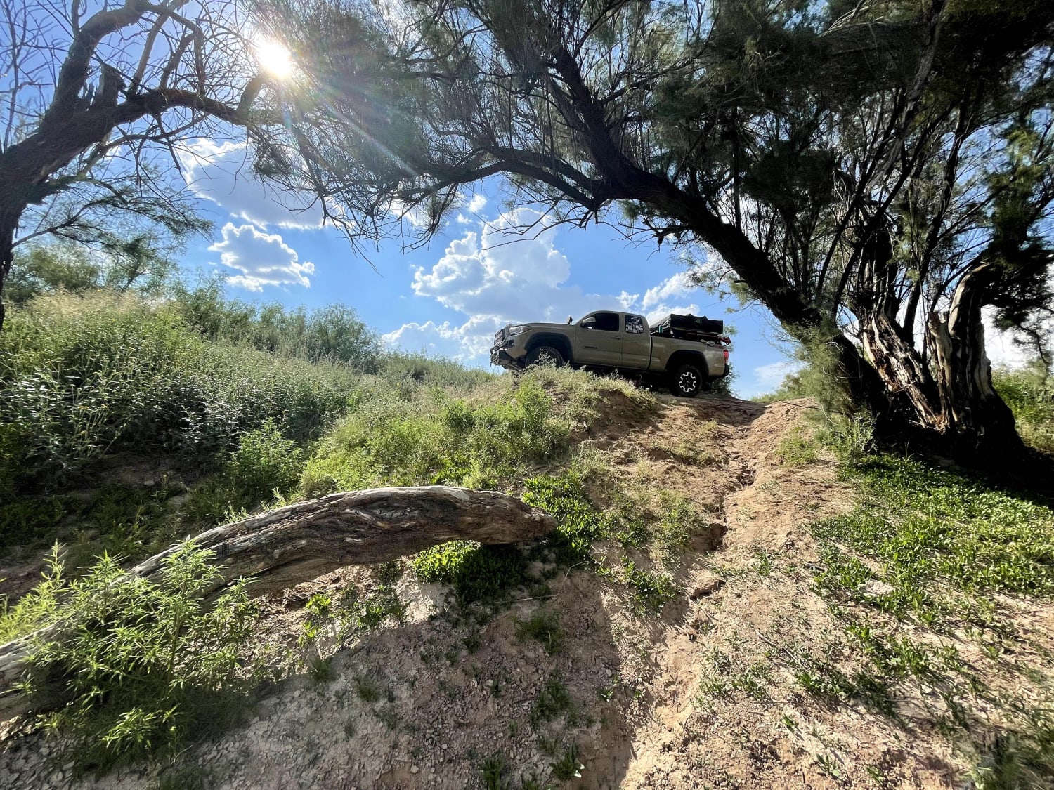
Pecos River Cruise

Pecos River Cruise

This is a moderate trail and has great views of the Pecos River. It is a sandy trail and has great spots to fish. While traveling this trail, there are some spots where it has…
Learn more about Pecos River Cruise
Total Miles
3.7
Tech Rating
3 Easy
Best Time
Spring, Summer, Fall, Winter
Learn more about Pecos WIlderness Border Road
Pecos WIlderness Border Road

Pecos WIlderness Border Road

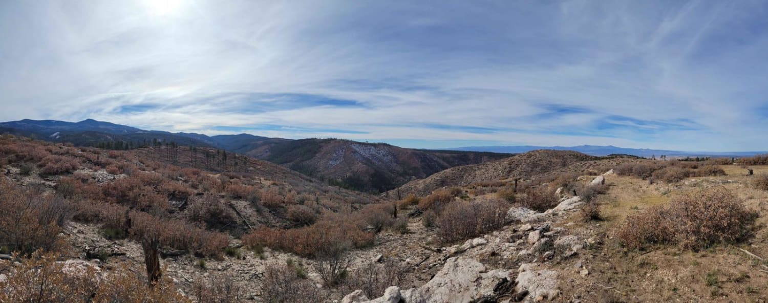
This route runs through the open highlands of Borrego Mesa, providing expansive views of the surrounding foothills. This section is not maintained and is prone to significant washouts and ruts. In dry conditions, the primary…
Learn more about Pecos WIlderness Border Road
Total Miles
1.7
Tech Rating
2 Easy
Best Time
Spring, Summer, Fall
Learn more about Penasco Springs
Penasco Springs

Penasco Springs

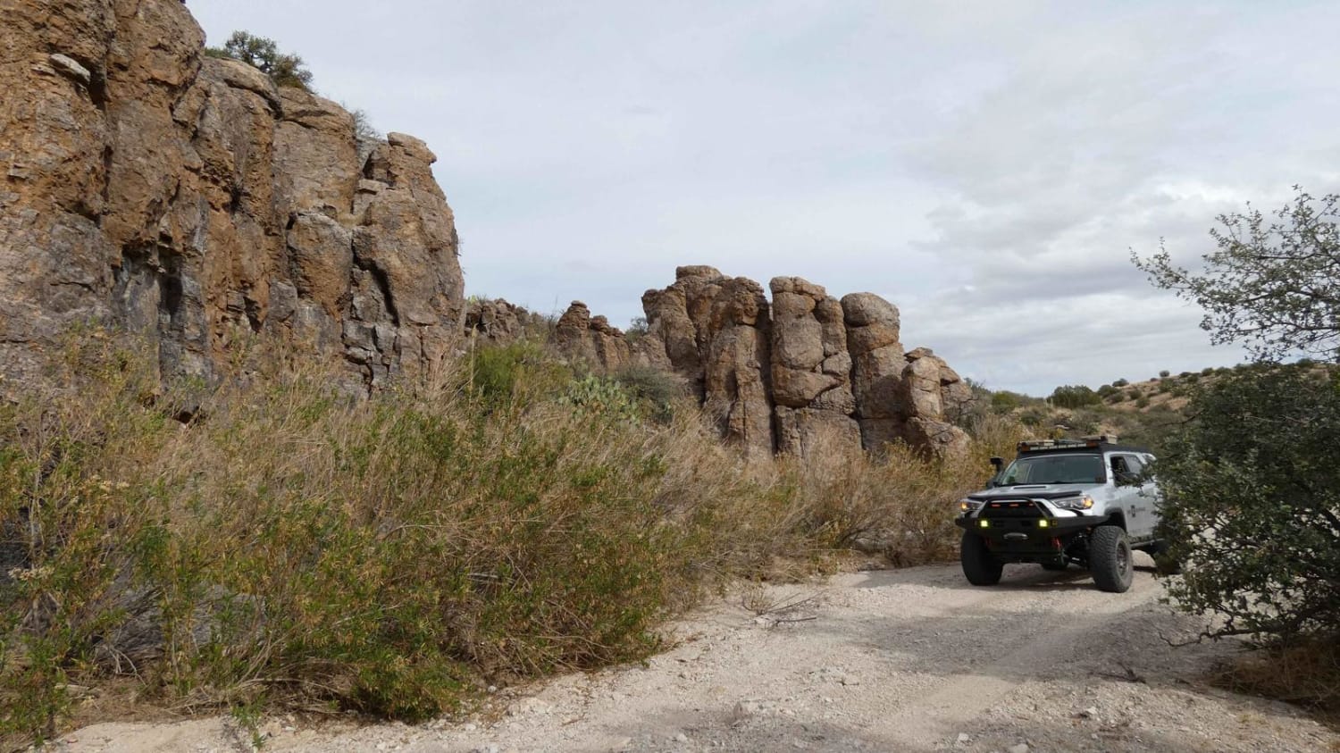
Penasco Springs is a wonderful desert experience that takes you down into the canyons at the base of the mountains and through some fun terrain that most 4x4 vehicles will handle. Starting out, the road…
Learn more about Penasco Springs
Total Miles
11.9
Tech Rating
3 Easy
Best Time
Spring, Summer, Fall, Winter
Learn more about Pine Flat Connector
Pine Flat Connector

Pine Flat Connector

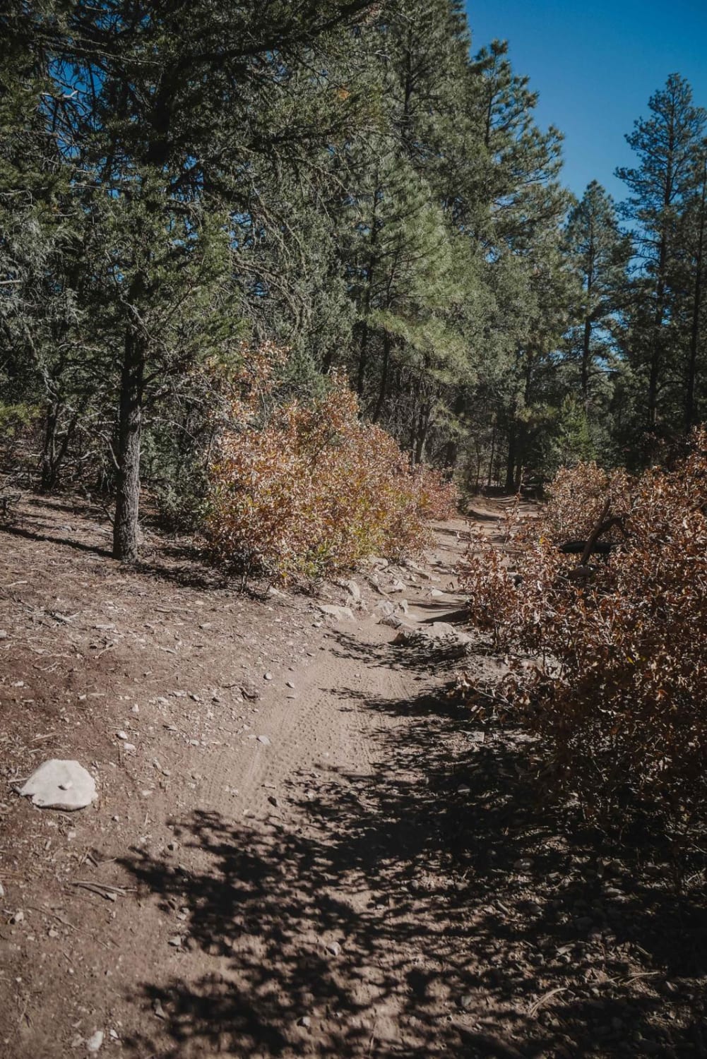
Pine Flat Connector starts on the north end at a large trailhead with pull-through parking spaces for trailers. It starts out as a very wide dirt road, then narrows up into a single track and…
Learn more about Pine Flat Connector
Total Miles
0.7
Tech Rating
2 Easy
Best Time
Spring, Fall, Winter
Learn more about Pine Loop
Pine Loop

Pine Loop

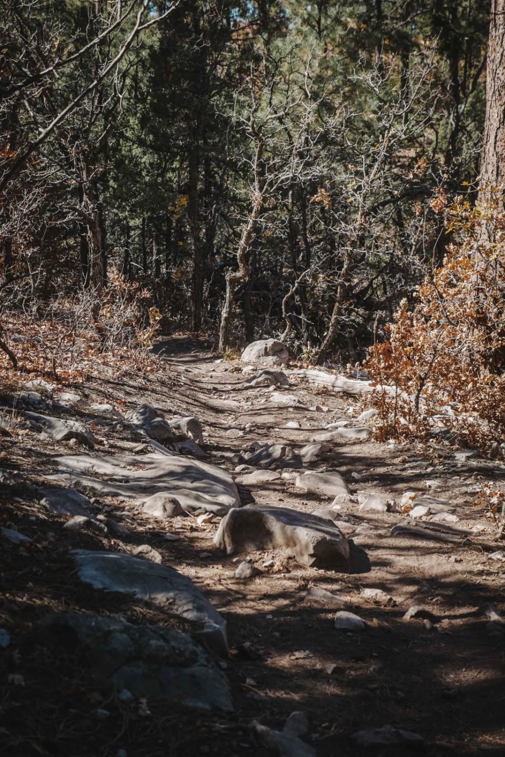
Pine Loop is a 1.6-mile trail that makes a loop with Gamble Oak and Pine Flat Connector. Starting on the west end, it steadily climbs up from the intersection with Pine Flat Connector on a…
Learn more about Pine Loop
Total Miles
1.5
Tech Rating
4 Moderate
Best Time
Spring, Fall, Winter
Learn more about Pine Spring
Pine Spring

Pine Spring

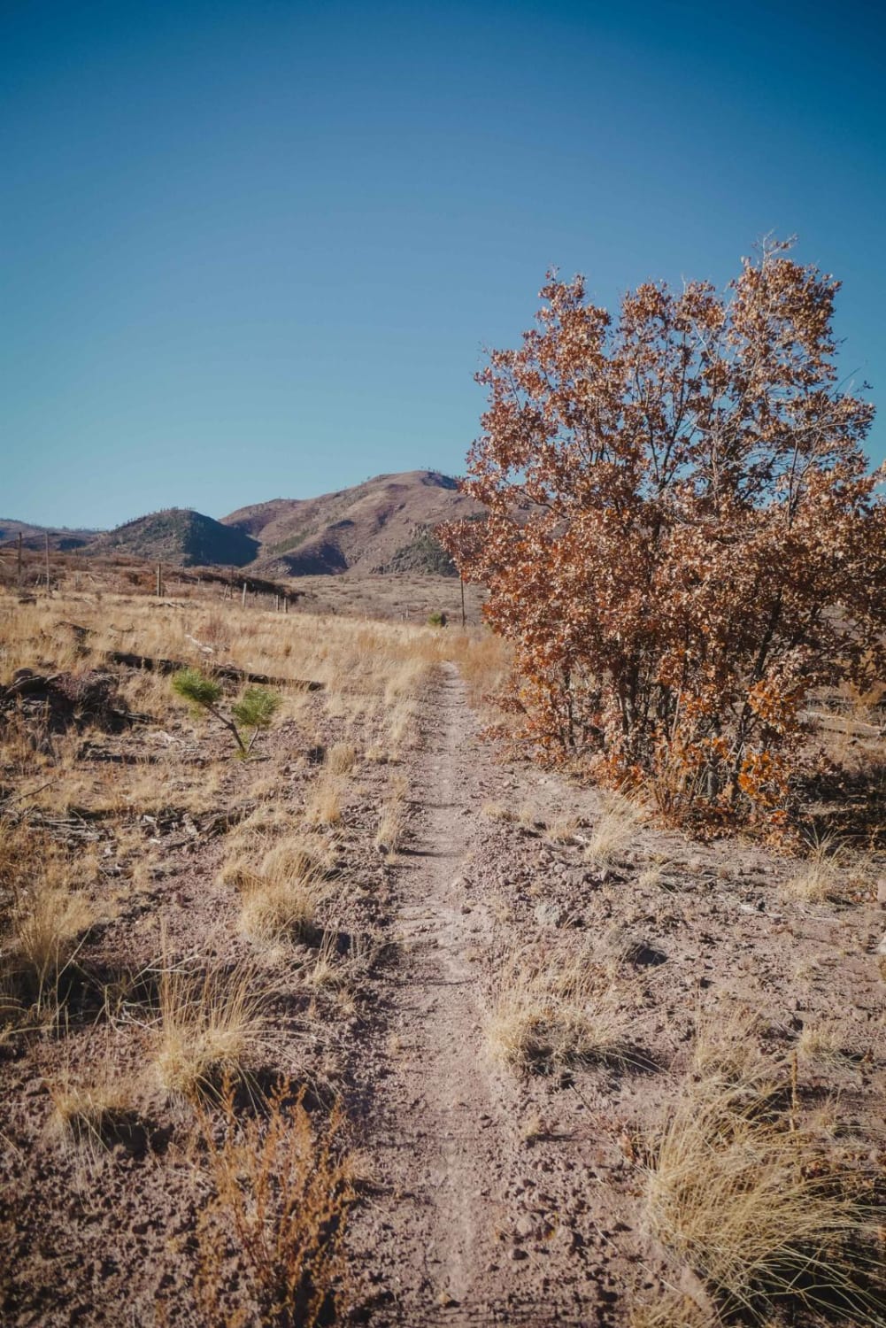
Pine Spring is an intermediate single track in the Sante Fe National Forest north of the town of Los Alamos. Both entrances to the trail are pretty faint and hidden, so a GPS track is…
Learn more about Pine Spring
Total Miles
2.8
Tech Rating
5 Moderate
Best Time
Spring, Winter, Fall
Learn more about Pinon Long
Pinon Long

Pinon Long

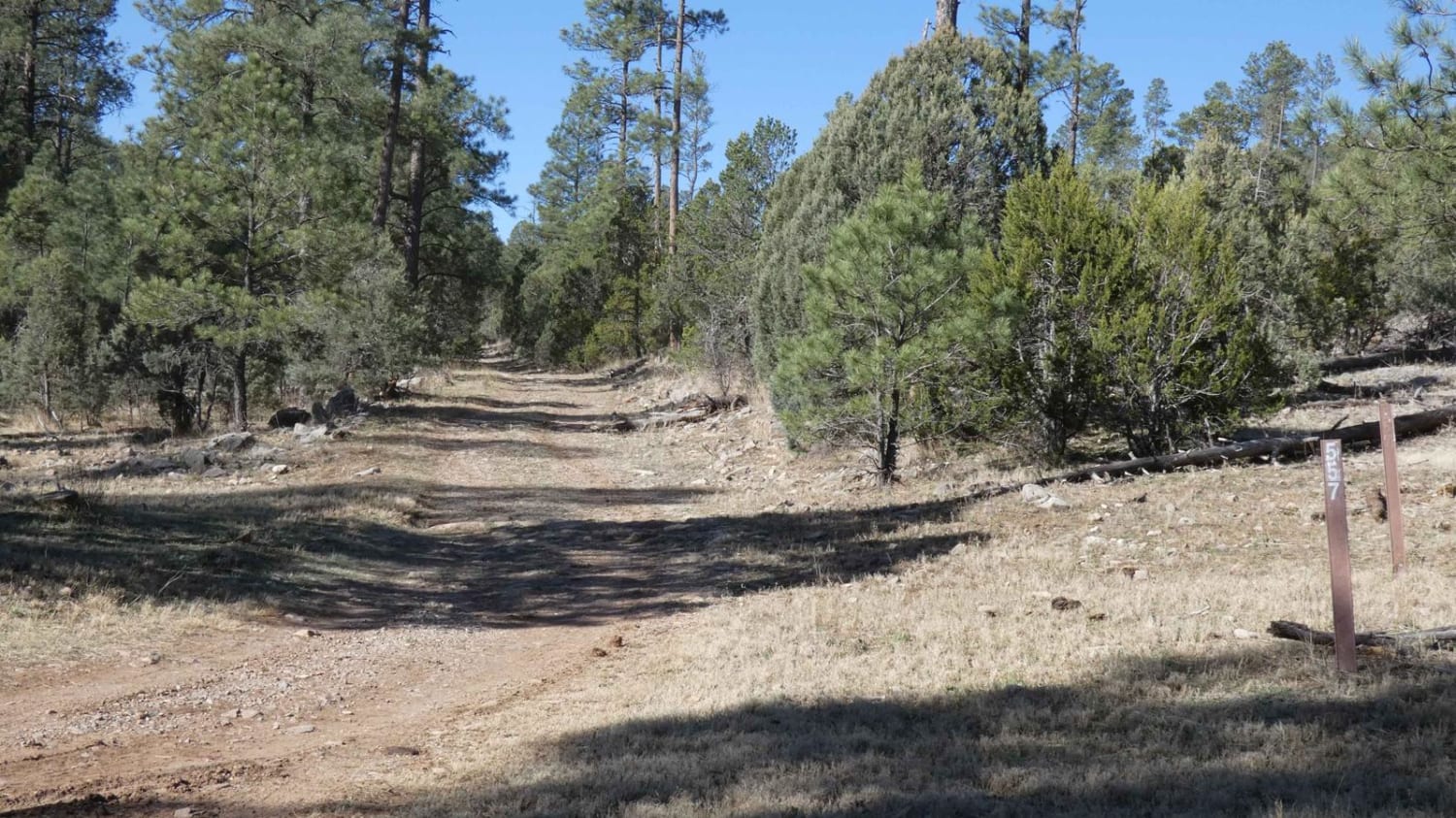
Pinon Long is a well-featured trail and features everything from rock gardens to off-camber sections and rutting. Obstacles up to, and some slightly larger than 12", heavy rutting with depths approximately 14" and slightly off…
Learn more about Pinon Long
Total Miles
3.6
Tech Rating
3 Easy
Best Time
Spring, Summer, Fall, Winter
Learn more about Pinyon
Pinyon

Pinyon

Pinyon is one of the easier trails in the Manzanita Mountain Trail System near Albuquerque, New Mexico. It is mostly a fast and flowy dirt trail, with sections of banked corners and easy light curves.…
Learn more about Pinyon
Total Miles
2.4
Tech Rating
3 Easy
Best Time
Spring, Fall, Winter
Learn more about Pioneer Creek
Pioneer Creek

Pioneer Creek

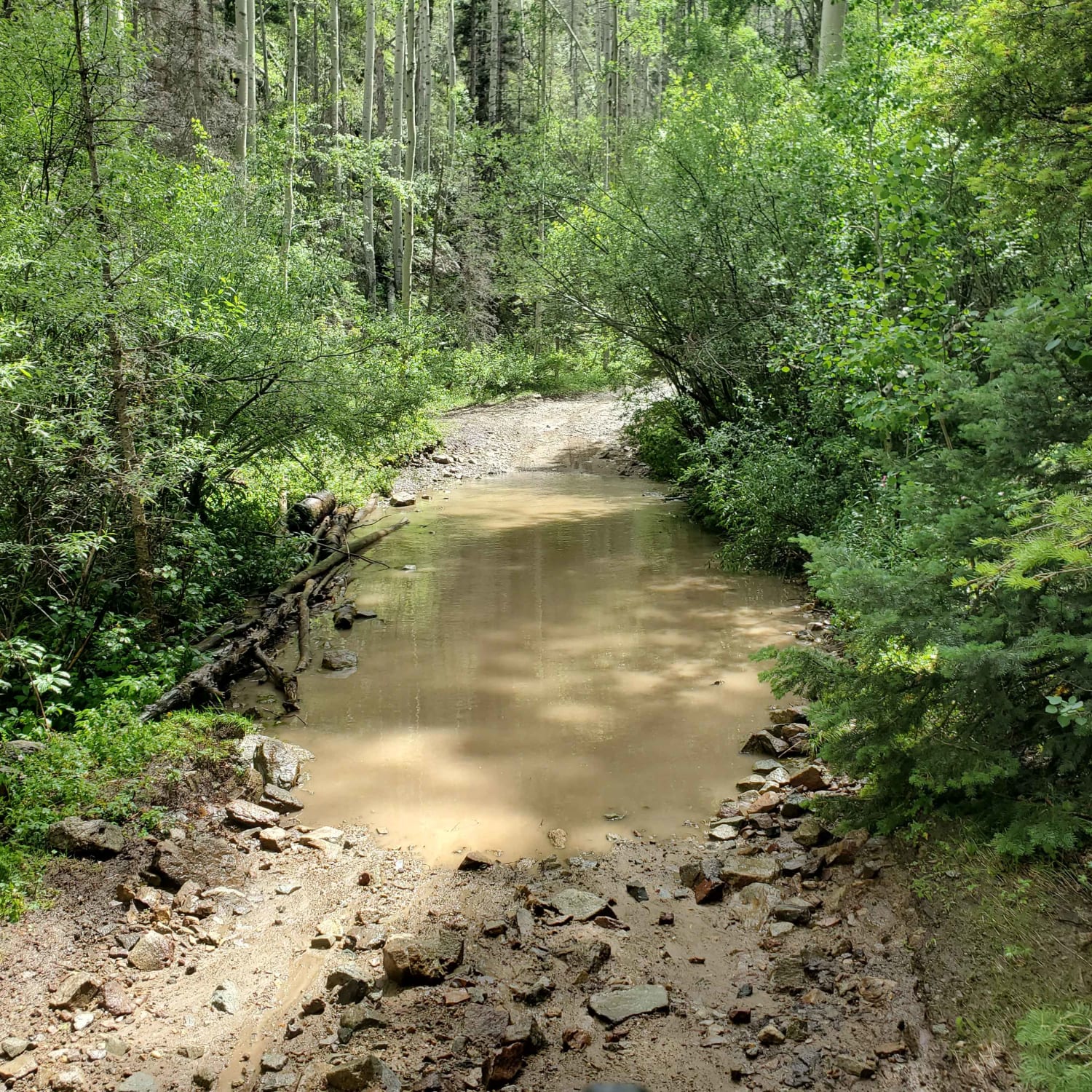
Pioneer Creek Trail leaves from Red River behind the ski resort and then follows the canyon up. There are some large loose rocks towards the end and four water crossings where the trail crosses the…
Learn more about Pioneer Creek
Total Miles
2.1
Tech Rating
3 Easy
Best Time
Summer, Fall
Learn more about Point of Rocks 220X
Point of Rocks 220X

Point of Rocks 220X

Uneven two-track leading to private property with homestead ruins visible from the fence. This trail may be short, but it offers some of the best shade in the area due to tree canopy cover in…
Learn more about Point of Rocks 220X
Total Miles
2.0
Tech Rating
3 Easy
Best Time
Spring, Summer, Fall, Winter
Learn more about Poker Chip
Poker Chip

Poker Chip

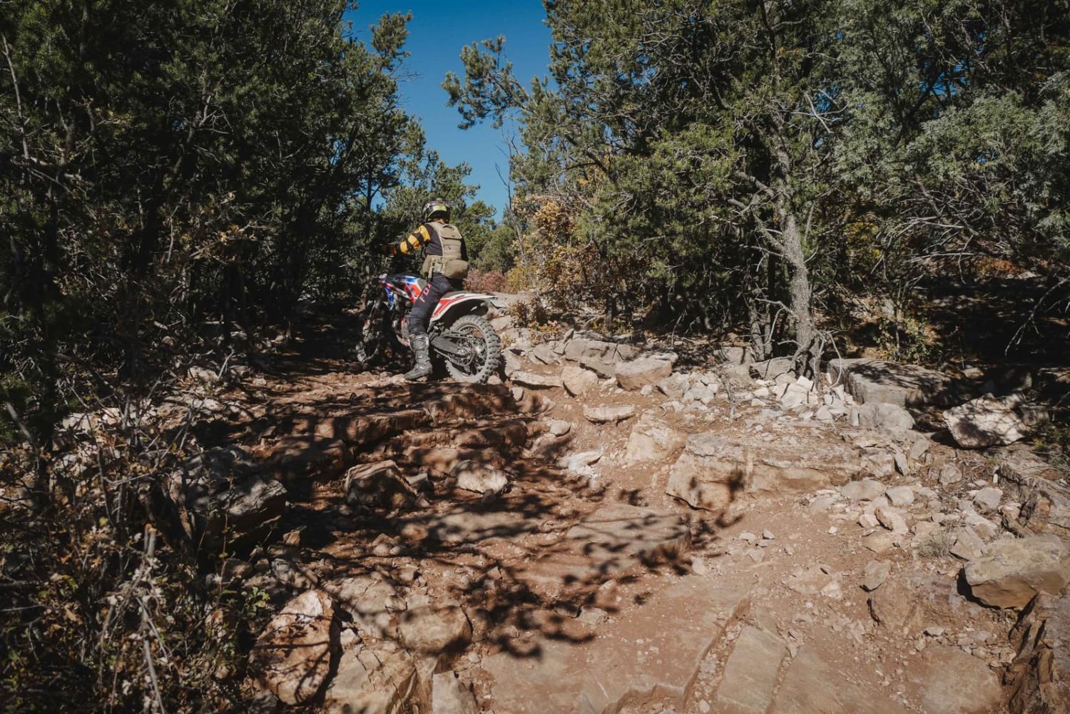
Poker Chip is a 4.5-mile single track on the east side of the Manzanita Mountain Trail System. The north end connects to Bear Scat, while the south end starts on Mahogany. Going south to north,…
Learn more about Poker Chip
Total Miles
4.3
Tech Rating
5 Moderate
Best Time
Spring, Fall, Winter
Learn more about Powderhorn Ridge
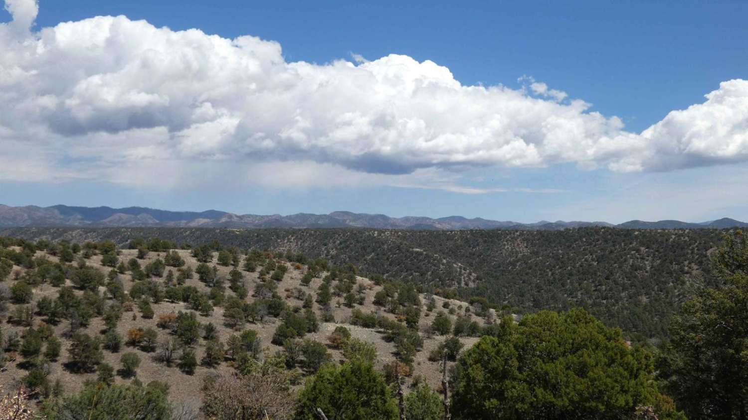
Powderhorn Ridge

Powderhorn Ridge

Powderhorn Ridge begins in a short section of private land tracks before meeting the Gila National Forest boundary that is designated via a large sign and a water crossing that cuts through the Mimbres River.…
Learn more about Powderhorn Ridge
Total Miles
10.2
Tech Rating
3 Easy
Best Time
Spring, Summer, Fall, Winter
Learn more about Powerline
Powerline

Powerline

Powerline Trail is a 2.7-mile long single-track trail in the Manzanita Mountain trail system just west of Albuquerque, New Mexico. This trail is made up of several hard sections of rock ledge climbs that are…
Learn more about Powerline
Total Miles
2.7
Tech Rating
7 Difficult
Best Time
Spring, Fall
Learn more about Powerline Pass
Powerline Pass

Powerline Pass

A nice trail for beginners wanting a fun challenge. This trail is packed with rocks, washed-out roads and a few steep inclines to keep you on your toes. Go with a buddy due to a…
Learn more about Powerline Pass
Total Miles
1.9
Tech Rating
4 Moderate
Best Time
Spring, Summer, Fall, Winter
Learn more about Powers Ridge
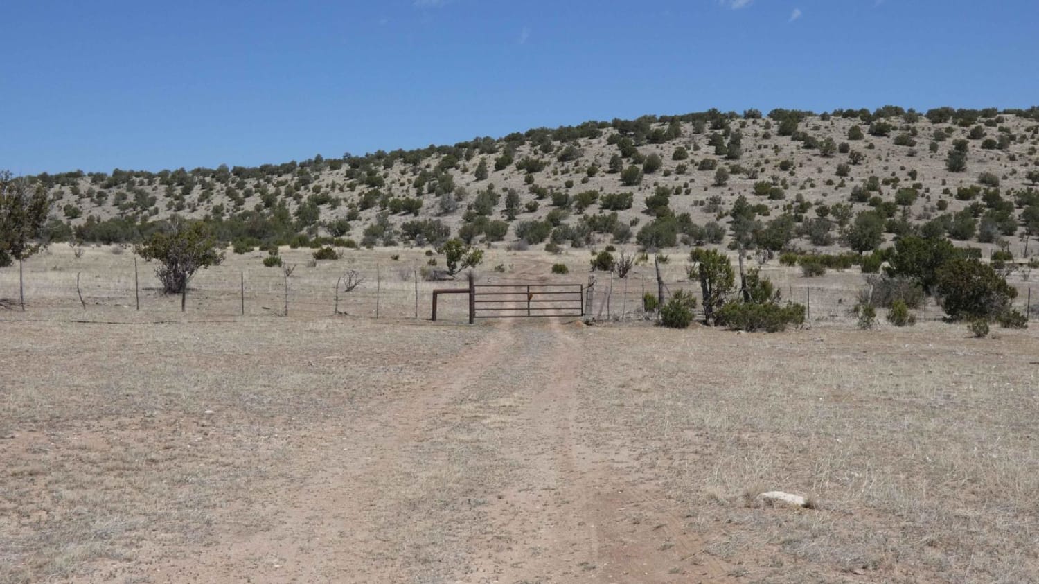
Powers Ridge

Powers Ridge

Powers Ridge is located in the central portion of the Guadalupe Mountain Range in Lincoln National Forest. The trail is a combination of rocks and dirt, with some obstacles in excess of 12". The trail…
Learn more about Powers Ridge
Total Miles
7.1
Tech Rating
3 Easy
Best Time
Spring, Summer, Fall, Winter
Learn more about Prather Canyon
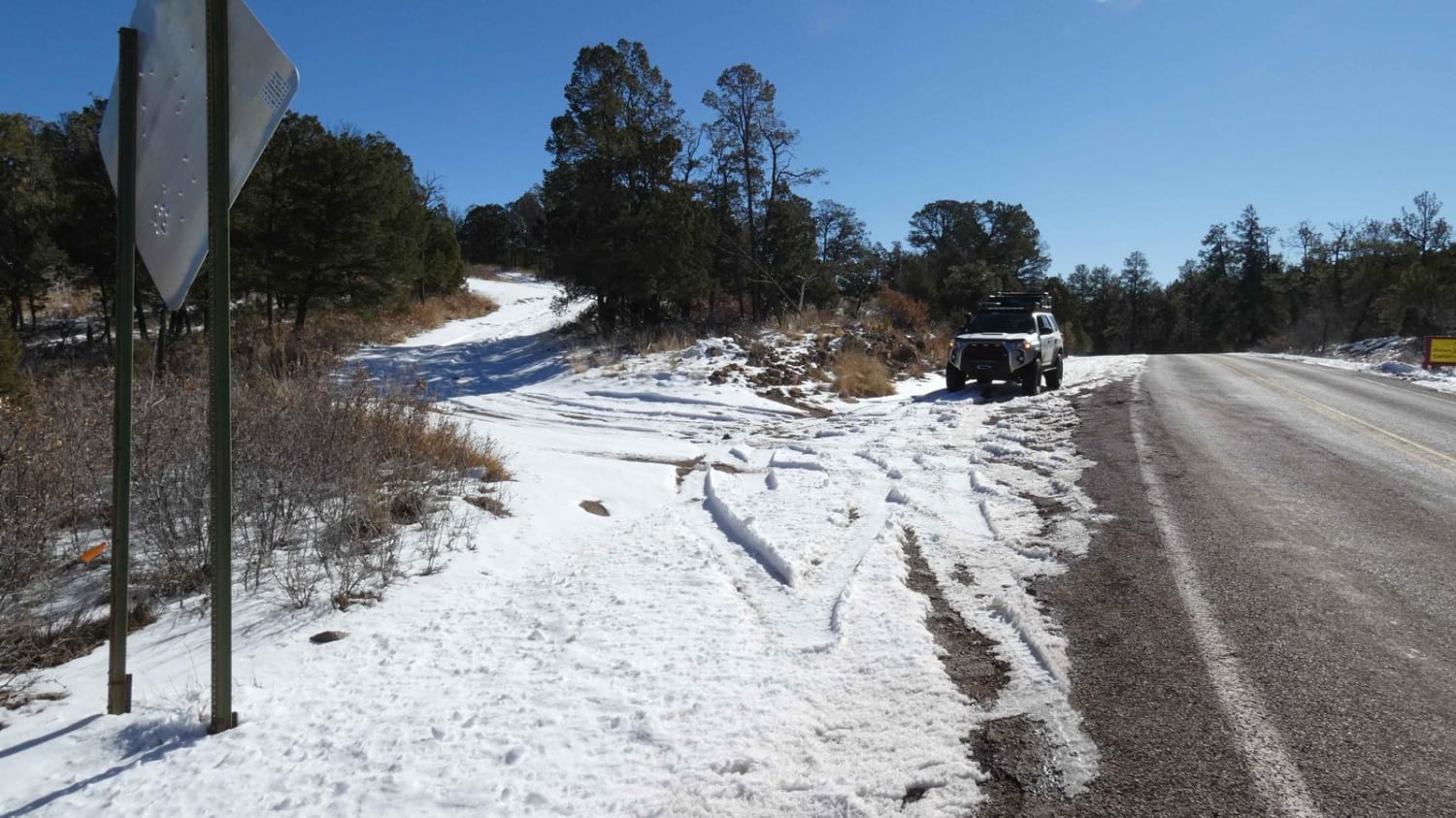
Prather Canyon

Prather Canyon

Prather Canyon trail entrance is located immediately off Highway 24 south of Mayhill, NM. The trail features a few dispersed campsites with spectacular views and good cell service. The surface changes from light rocks and…
Learn more about Prather Canyon
Total Miles
1.2
Tech Rating
2 Easy
Best Time
Spring, Summer, Fall, Winter

The onX Offroad Difference

onX Offroad combines trail photos, descriptions, difficulty ratings, width restrictions, seasonality, and more in a user-friendly interface. Available on all devices, with offline access and full compatibility with CarPlay and Android Auto. Discover what you’re missing today!