Off-Road Trails in New Mexico
Discover off-road trails in New Mexico
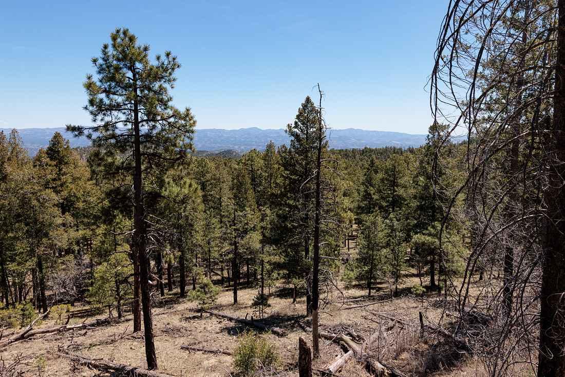
Learn more about Salazar Canyon East
Salazar Canyon East
Total Miles
11.0
Tech Rating
Easy
Best Time
Spring, Summer, Fall, Winter
Learn more about San Antonio Mountain Loop
San Antonio Mountain Loop
Total Miles
26.0
Tech Rating
Easy
Best Time
Spring, Summer, Fall
Learn more about San Lorenzo Canyon
San Lorenzo Canyon
Total Miles
5.7
Tech Rating
Easy
Best Time
Spring, Summer, Fall, Winter
Learn more about San Luis Road to Guadalupe

San Luis Road to Guadalupe
Total Miles
20.9
Tech Rating
Easy
Best Time
Spring, Fall, Summer, Winter
Learn more about San Pedro Mountain Views - FS 91

San Pedro Mountain Views - FS 91
Total Miles
6.2
Tech Rating
Moderate
Best Time
Spring, Summer, Fall
Learn more about Sandwash
Sandwash
Total Miles
5.7
Tech Rating
Easy
Best Time
Spring, Summer, Fall, Winter
Learn more about Santa Cruz Lake Overlook Campground
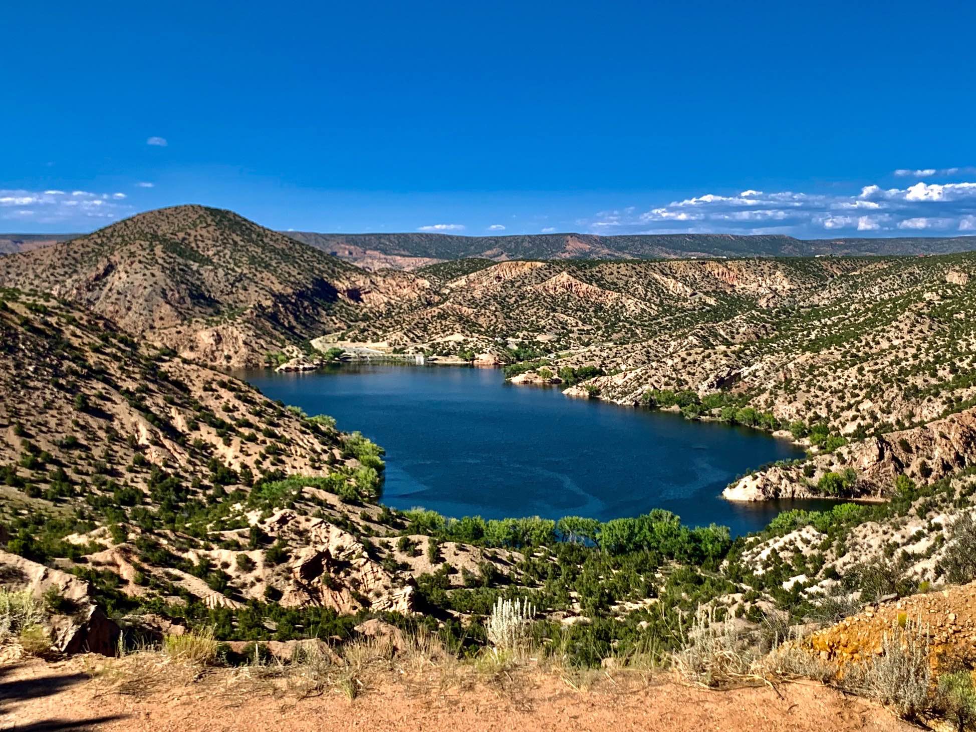
Santa Cruz Lake Overlook Campground
Total Miles
1.5
Tech Rating
Easy
Best Time
Spring, Summer, Fall, Winter
Learn more about Santa Fe National San Geronimo Back Road
Santa Fe National San Geronimo Back Road
Total Miles
14.1
Tech Rating
Difficult
Best Time
Spring, Summer, Fall
Learn more about Sargent Canyon

Sargent Canyon
Total Miles
10.6
Tech Rating
Easy
Best Time
Spring, Summer, Fall
Learn more about Sargent Tank
Sargent Tank
Total Miles
8.8
Tech Rating
Easy
Best Time
Spring, Summer, Fall, Winter
Learn more about Sawmill Greenie
Sawmill Greenie
Total Miles
9.2
Tech Rating
Moderate
Best Time
Spring, Summer, Fall
Learn more about Sawtooth FS6A
Sawtooth FS6A
Total Miles
6.1
Tech Rating
Easy
Best Time
Spring, Summer, Fall, Winter
Learn more about Scales Canyon

Scales Canyon
Total Miles
3.1
Tech Rating
Moderate
Best Time
Summer, Spring, Fall
Learn more about Scenic Drive
Scenic Drive
Total Miles
13.0
Tech Rating
Easy
Best Time
Spring, Summer, Fall, Winter
Learn more about Segrest Draw
Segrest Draw
Total Miles
5.3
Tech Rating
Easy
Best Time
Spring, Summer, Fall, Winter
Learn more about Seven HL Ridge 4053N

Seven HL Ridge 4053N
Total Miles
7.0
Tech Rating
Easy
Best Time
Spring, Summer, Fall, Winter
Learn more about Short Wash
Short Wash
Total Miles
1.0
Tech Rating
Easy
Best Time
Spring, Summer, Fall, Winter
Learn more about Signal Peak Road - FS 154
Signal Peak Road - FS 154
Total Miles
6.8
Tech Rating
Easy
Best Time
Spring, Summer, Fall
Learn more about Silver Monument

Silver Monument
Total Miles
3.4
Tech Rating
Easy
Best Time
Spring, Summer, Fall, Winter
Learn more about Skeen Road

Skeen Road
Total Miles
6.9
Tech Rating
Easy
Best Time
Spring, Summer, Fall, Winter
The onX Offroad Difference
onX Offroad combines trail photos, descriptions, difficulty ratings, width restrictions, seasonality, and more in a user-friendly interface. Available on all devices, with offline access and full compatibility with CarPlay and Android Auto. Discover what you’re missing today!