Off-Road Trails in Utah

Discover off-road trails in Utah

Learn more about FS 51303 Six Mile Lower Pond Trail
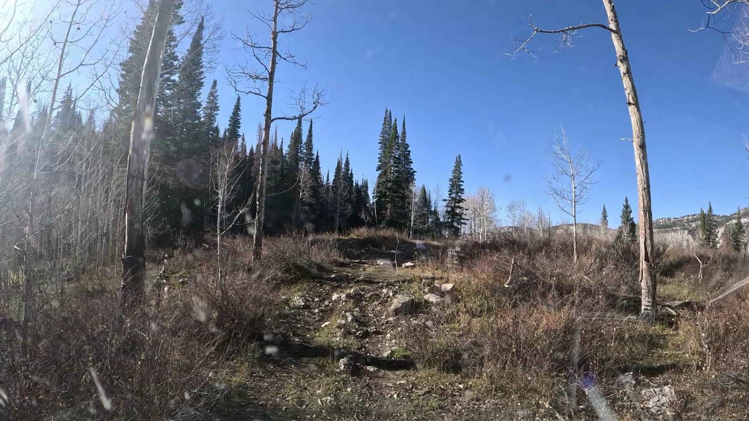
FS 51303 Six Mile Lower Pond Trail

FS 51303 Six Mile Lower Pond Trail

This is a hidden gem. This is a nice trail that goes through the pines and aspens. There are a few spots that will be difficult unless you have higher clearance. There are a couple…
Learn more about FS 51303 Six Mile Lower Pond Trail
Total Miles
0.4
Tech Rating
4 Moderate
Best Time
Summer, Fall
Learn more about FS 80178 Upper Cedar Hollow OHV
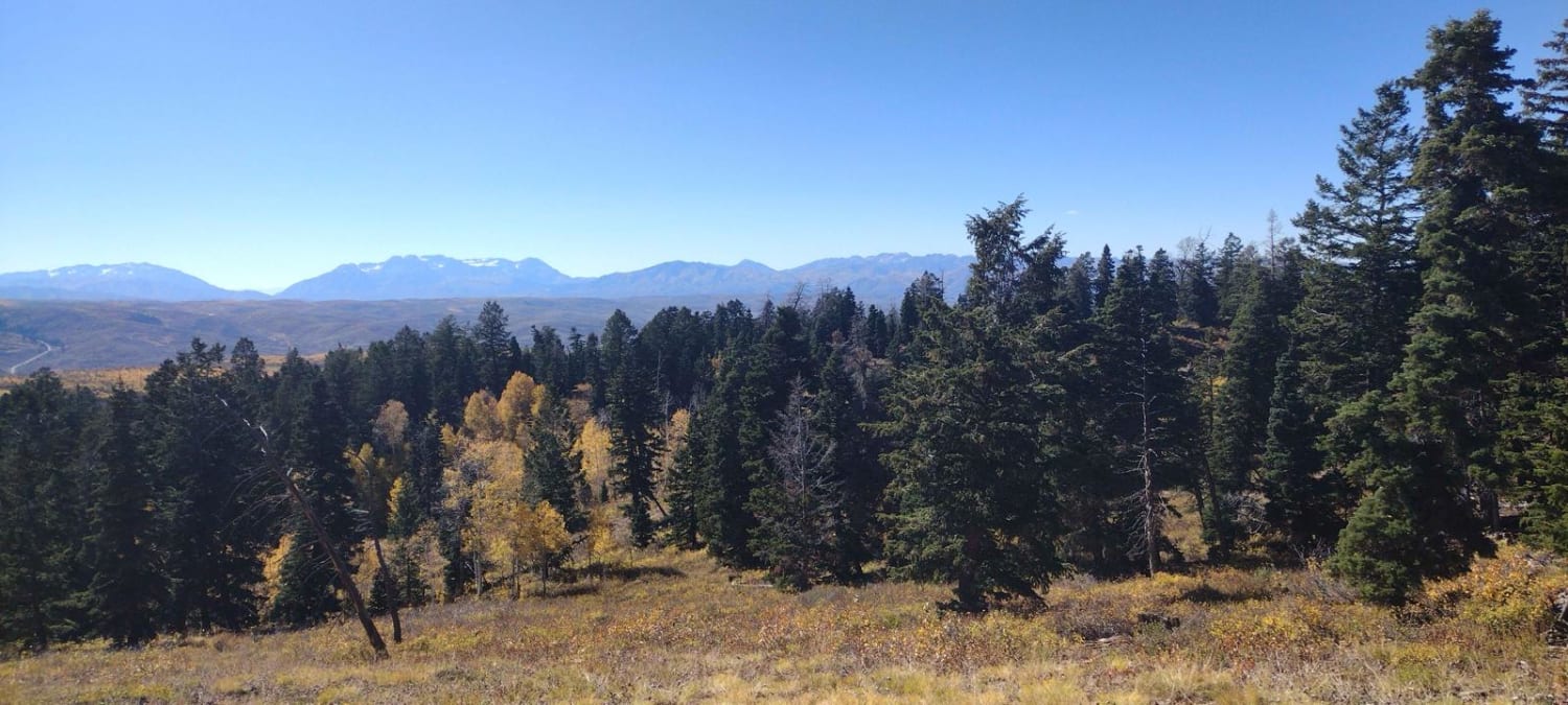
FS 80178 Upper Cedar Hollow OHV

FS 80178 Upper Cedar Hollow OHV

This is an out-and-back scenic trail that has a little bit of everything. It has some narrow spots in the trail, large embedded rock shelves and ledges, and steep trail through loose rocks. There are…
Learn more about FS 80178 Upper Cedar Hollow OHV
Total Miles
5.2
Tech Rating
5 Moderate
Best Time
Summer, Fall
Learn more about FS 80200 Cedar Hollow North 1
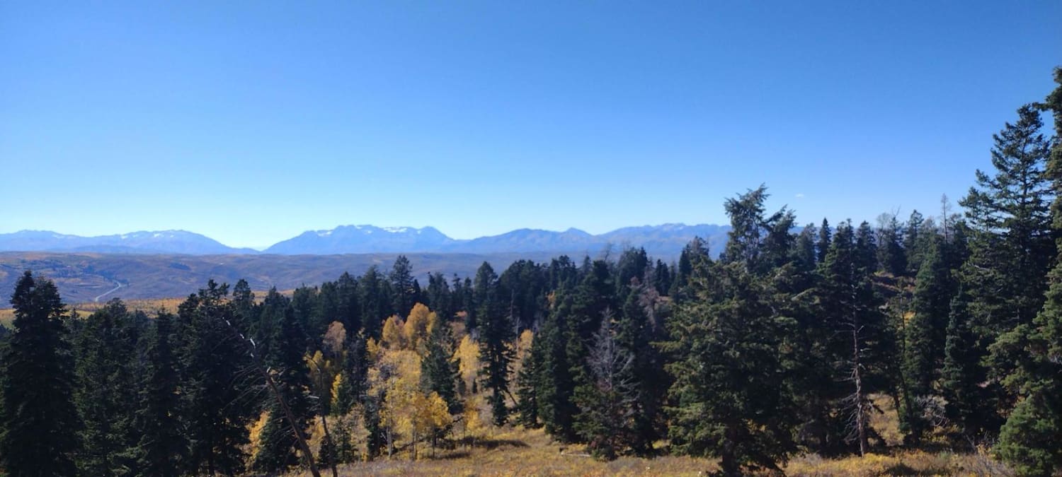
FS 80200 Cedar Hollow North 1

FS 80200 Cedar Hollow North 1

This is a scenic loop trail at the end of the Upper Cedar Hollow OHV trail. It winds its way through meadows, aspens, and pine trees. There are areas that have some loose rocks, rutted,…
Learn more about FS 80200 Cedar Hollow North 1
Total Miles
1.5
Tech Rating
4 Moderate
Best Time
Summer, Fall
Learn more about FS 80202 - Cedar Hollow
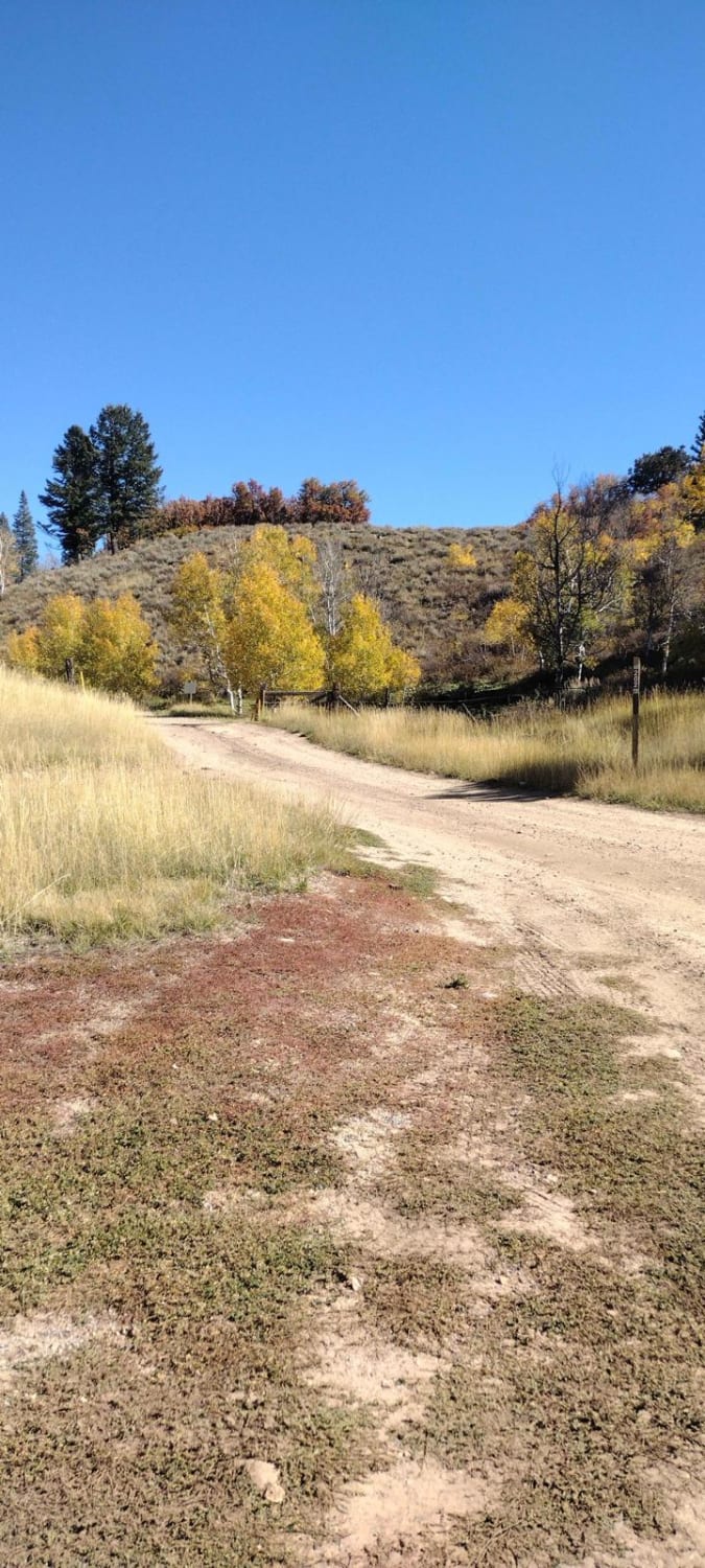
FS 80202 - Cedar Hollow

FS 80202 - Cedar Hollow

This is a very easy road that most vehicles with more than 6-8 inches of clearance could travel, with the right placement and driving in the right spots. Right after turning off the pavement, there…
Learn more about FS 80202 - Cedar Hollow
Total Miles
3.5
Tech Rating
3 Easy
Best Time
Summer, Fall
Learn more about FS Trail # 40608
FS Trail # 40608

FS Trail # 40608

Trail #40608 moves you a little further away from I-70 if you're going south and a bit closer to it if you're going north, connecting with Mud Flat Clear Cr (FS #40115). The trail moves…
Learn more about FS Trail # 40608
Total Miles
2.4
Tech Rating
2 Easy
Best Time
Summer, Fall
Learn more about FS Trail #41020
FS Trail #41020

FS Trail #41020

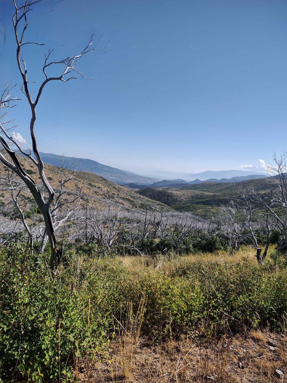
This trail connects two other Forest Service trails in this area, #41040 and #40608. By connecting these trails, you can go up to Tip Top or over to I-70 and ride the trails north of…
Learn more about FS Trail #41020
Total Miles
2.7
Tech Rating
2 Easy
Best Time
Summer, Fall
Learn more about FS Trail #41040
FS Trail #41040

FS Trail #41040

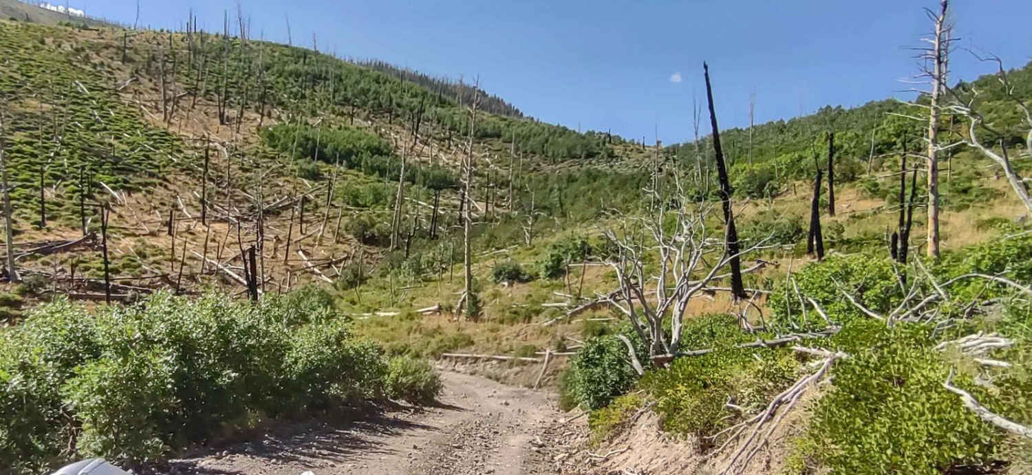
FS Trail #41040 connects Tip Top Road to FS Trail #41020. You drop down from 8,800 feet and run parallel to Line and Hop Canyons as the trail turns north towards I-70. This trail goes…
Learn more about FS Trail #41040
Total Miles
3.5
Tech Rating
2 Easy
Best Time
Summer, Fall
Learn more about FS-40956
FS-40956

FS-40956

FSR40956 is a 1.1-mile point-to-point trail rated 3 of 10 located in Millard County. This connector trail links Watts Mountain Road with Trail Spring Bench and is part of the Paiute Trail Network #1. This…
Learn more about FS-40956
Total Miles
1.1
Tech Rating
3 Easy
Best Time
Spring, Summer, Fall
Learn more about FSR 42642 To 40454
FSR 42642 To 40454

FSR 42642 To 40454

This is a scenic little drive along Indian Creek. This is a rocky narrow trail that takes you down into the canyon and then turns uphill to the intersection with FSR 40454. This trail is…
Learn more about FSR 42642 To 40454
Total Miles
2.3
Tech Rating
3 Easy
Best Time
Spring, Summer, Fall
Learn more about FSR 440
FSR 440

FSR 440

This road off of FSR 110 is a beautiful road that takes you right through the heart of the aspen forest to loop back onto FSR 110. An abundant amount of wildlife is in this…
Learn more about FSR 440
Total Miles
0.9
Tech Rating
3 Easy
Best Time
Spring, Summer, Fall
Learn more about FSR 446 & 439 loop off of 440
FSR 446 & 439 loop off of 440

FSR 446 & 439 loop off of 440

This short narrow trail takes you through a field of tall grass. Do not recommend any vehicle over 60" use this trail. This could be muddy during the rainy season. That said you will get…
Learn more about FSR 446 & 439 loop off of 440
Total Miles
2.2
Tech Rating
2 Easy
Best Time
Summer, Spring, Fall
Learn more about Fun Way Around Temple Mountain

Fun Way Around Temple Mountain

Fun Way Around Temple Mountain

This is a nice trail that takes you past lots of old mining camps and through an amazing slot canyon. There is lots of dispersed camping in the area you just have to keep your…
Learn more about Fun Way Around Temple Mountain
Total Miles
7.1
Tech Rating
5 Moderate
Best Time
Spring, Fall, Winter
Learn more about Gardners Fork
Gardners Fork

Gardners Fork

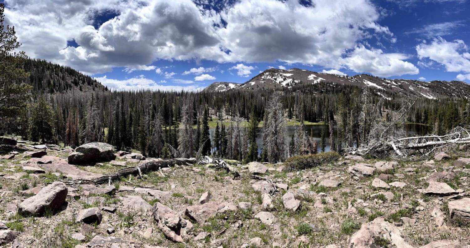
This is a great trail if you want to escape into the Utah backcountry. This high alpine canyon is beautiful and rugged, high clearance only here or you will be scraping the bottom. The trail…
Learn more about Gardners Fork
Total Miles
4.1
Tech Rating
3 Easy
Best Time
Summer, Fall
Learn more about Gas & Power Line Traverse
Gas & Power Line Traverse

Gas & Power Line Traverse

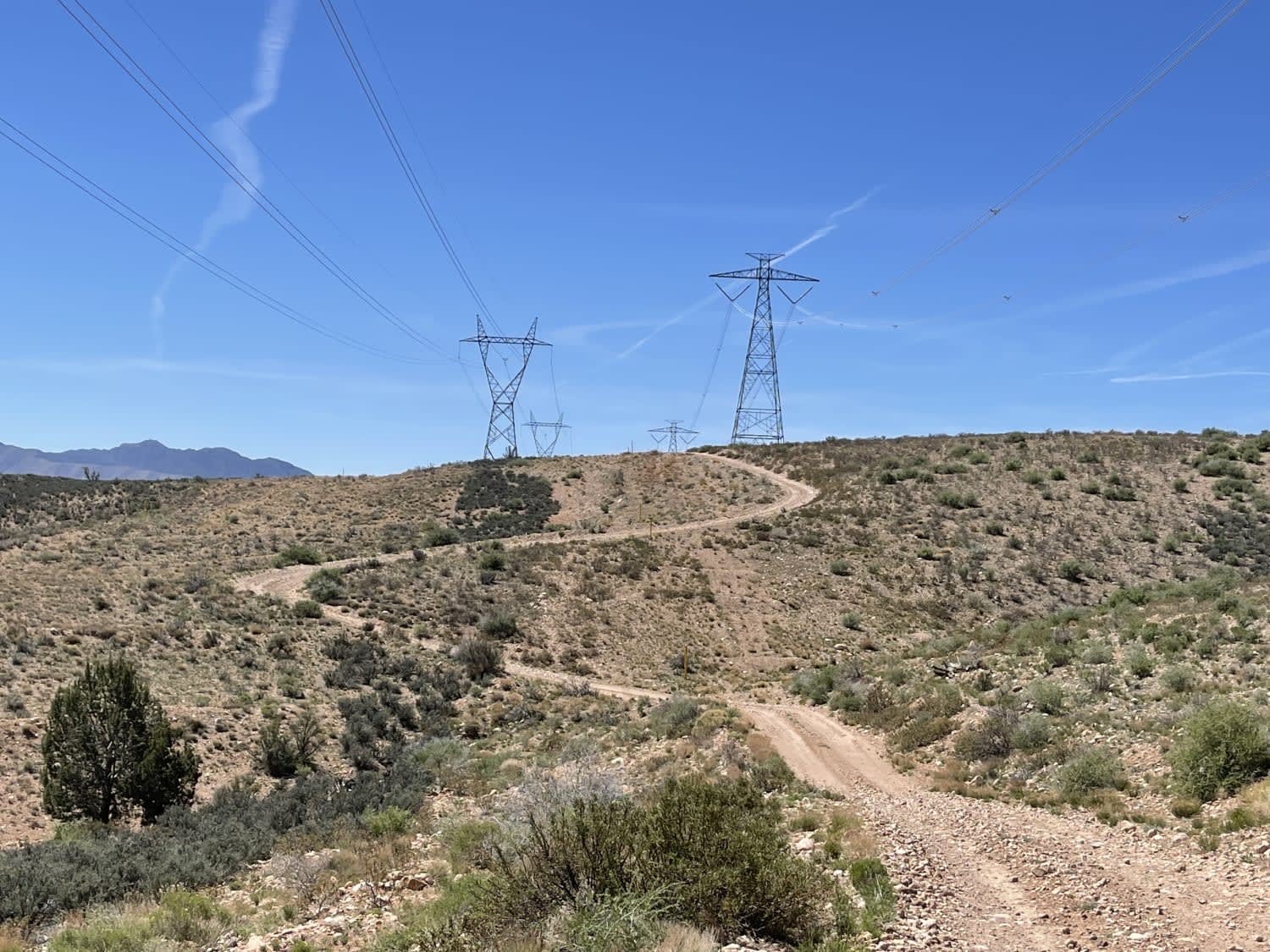
This fun rip across the hills dips and dives, climbs and twists across the Ridgeline. For a minute, it follows the high voltage lines. Then it follows the gas line, then it just kind of…
Learn more about Gas & Power Line Traverse
Total Miles
7.9
Tech Rating
4 Moderate
Best Time
Fall, Spring
Learn more about Gates Lake Road
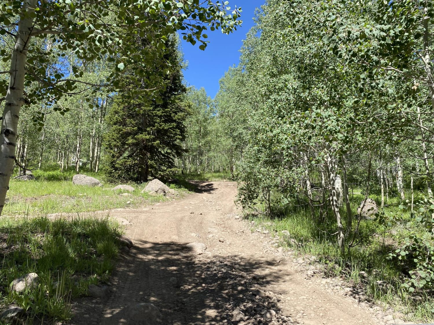
Gates Lake Road

Gates Lake Road

Entry to the east end of Gates Lake Road is made from the paved Gooseberry Road. The road dead-ends on the shore of Gates Lake. There are restrooms by the lake, and several unimproved campsites…
Learn more about Gates Lake Road
Total Miles
2.6
Tech Rating
3 Moderate
Best Time
Spring, Summer, Fall
Learn more about Gates Lane
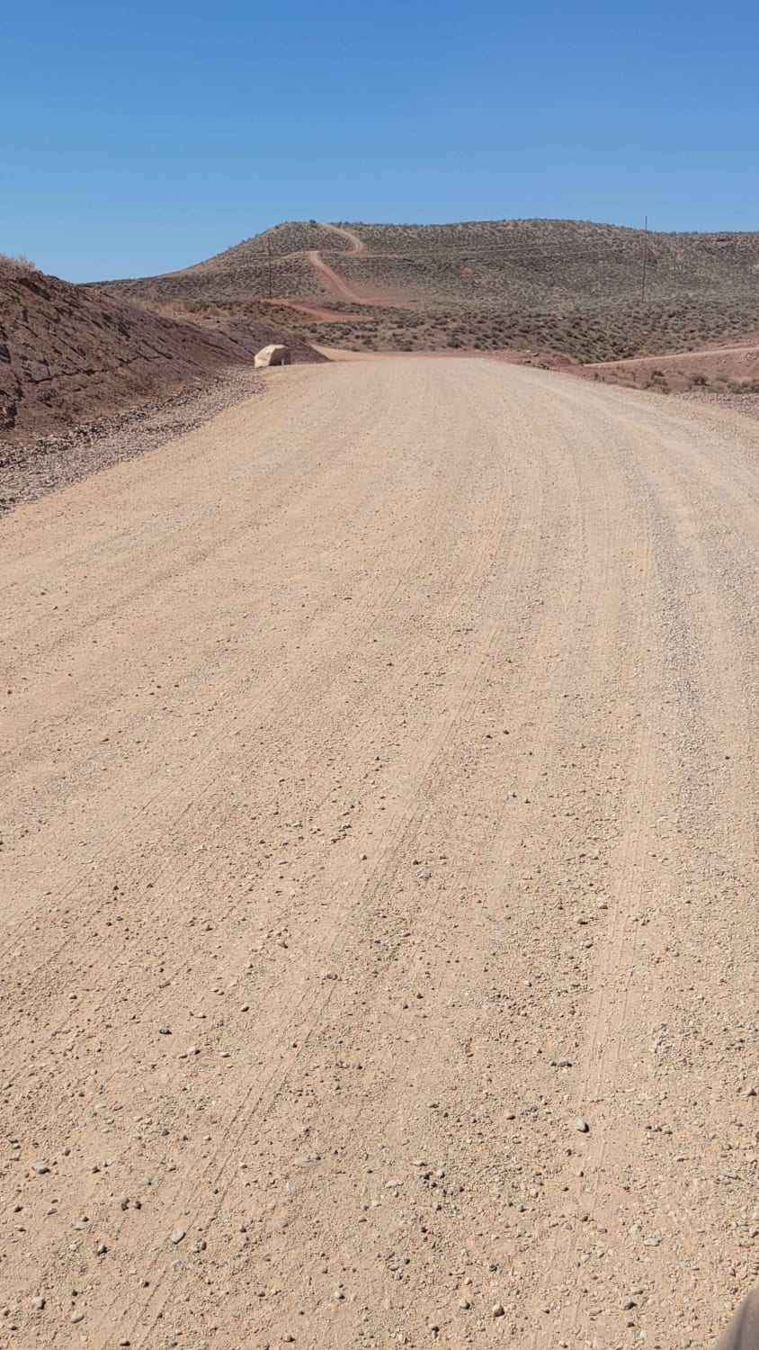
Gates Lane

Gates Lane

Just Southwest of Santa Clara is a wide-open BLM playground for off-roading, mountain biking, shooting, hiking, and more. There is an endless spiderweb of trails and paths to take. At the end of this route…
Learn more about Gates Lane
Total Miles
1.2
Tech Rating
1 Easy
Best Time
Spring, Fall, Winter
Learn more about Gemini Bridges
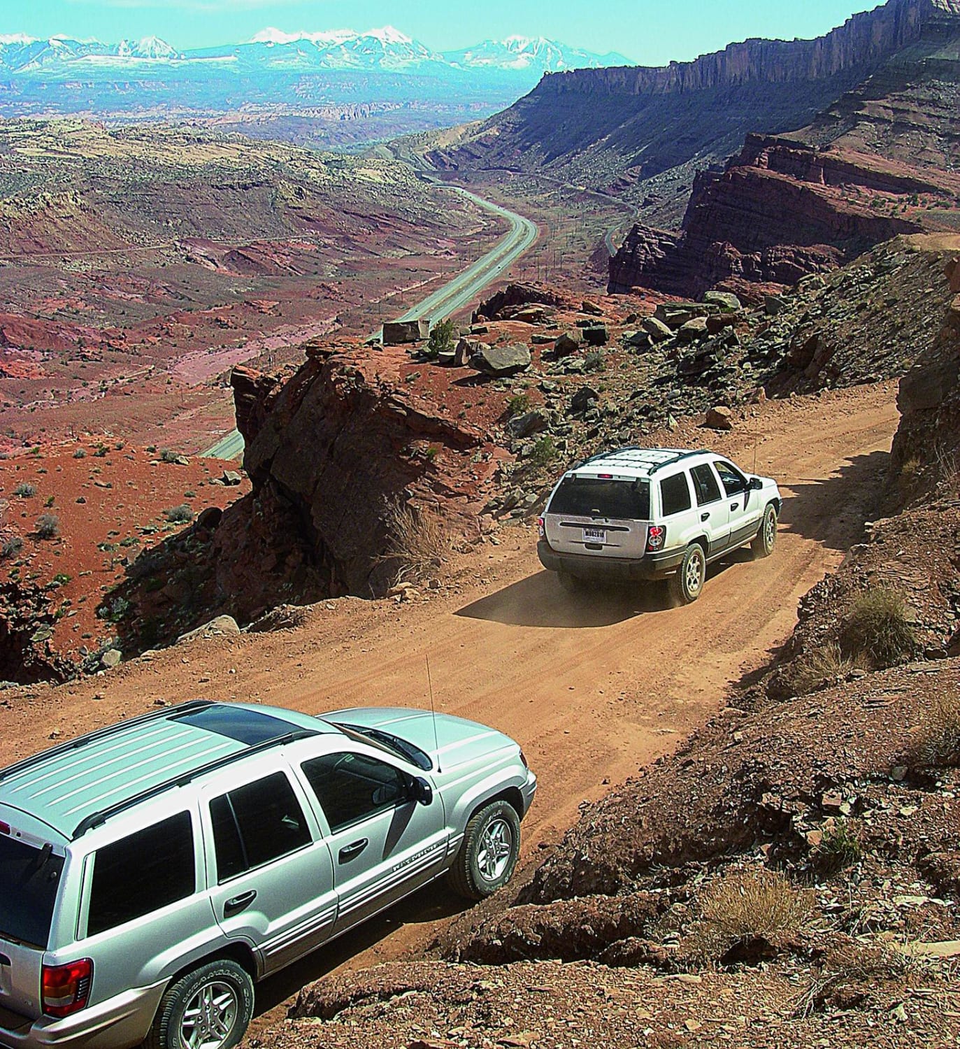
Gemini Bridges

Gemini Bridges

You may run into mountain bikers on this popular trail, so make sure to minimize dust. This high, curvy shelf road provides beautiful views and easy pitstops to hike to view the tops of the…
Learn more about Gemini Bridges
Total Miles
13.1
Tech Rating
2 Moderate
Best Time
Spring, Summer, Fall
Learn more about Geyser Pass
Geyser Pass

Geyser Pass

This beautiful drive is over 10,600 feet above sea level, and there are some fun hiking and biking trails nearby if you want to get to a mountain top. It's simple to make this a…
Learn more about Geyser Pass
Total Miles
38.3
Tech Rating
2 Easy
Best Time
Summer
Learn more about Geyser Peak Trail
Geyser Peak Trail

Geyser Peak Trail

The Geyser Peak trail extends for six miles along the eastern side of Geyser Peak. The south end the trail meets with the Elkhorn campground road. On the north end it meets up to Hwy…
Learn more about Geyser Peak Trail
Total Miles
6.4
Tech Rating
3 Easy
Best Time
Spring, Summer, Fall
Learn more about Giant Aspen Trail
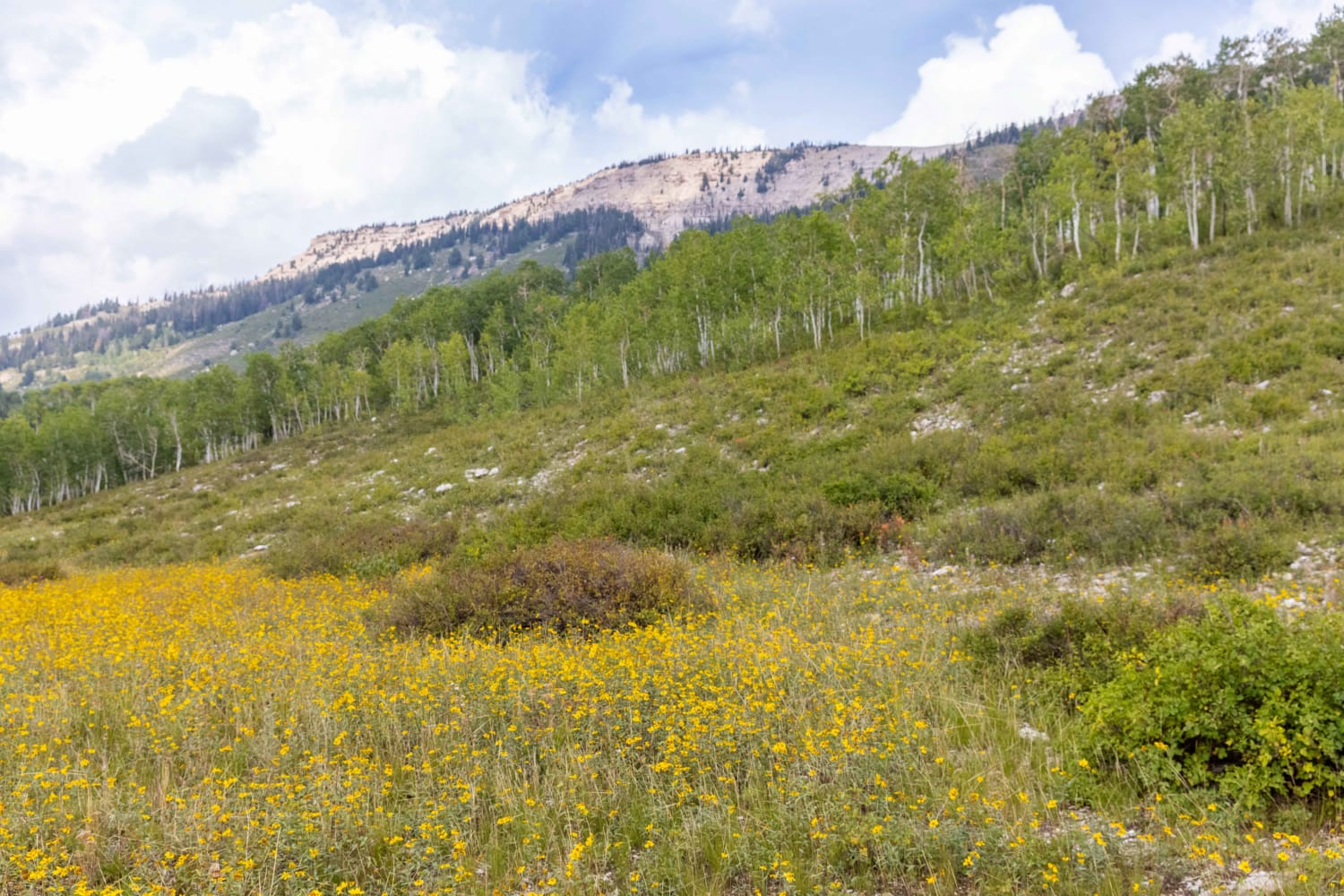
Giant Aspen Trail

Giant Aspen Trail

Giant Aspen trail is a short ride through an Aspen grove. The trail is unmaintained and can be difficult to traverse in inclement weather.
Learn more about Giant Aspen Trail
Total Miles
2.0
Tech Rating
5 Moderate
Best Time
Fall, Summer, Spring

The onX Offroad Difference

onX Offroad combines trail photos, descriptions, difficulty ratings, width restrictions, seasonality, and more in a user-friendly interface. Available on all devices, with offline access and full compatibility with CarPlay and Android Auto. Discover what you’re missing today!