Off-Road Trails in Wyoming

Discover off-road trails in Wyoming

Learn more about Bull Owen
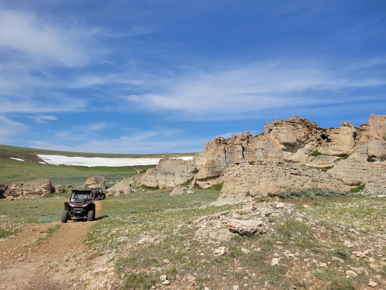
Bull Owen

Bull Owen

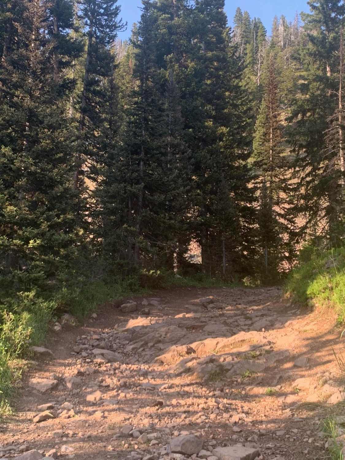
Side spur that connects Hwy 14 to Hunt Mountain Road. This trail has some water crossing which is hard rocky bottom and is typical for the area. There is also a gradual slope that has…
Learn more about Bull Owen
Total Miles
5.1
Tech Rating
3 Easy
Best Time
Spring, Summer, Fall
Learn more about Burgess
Burgess

Burgess

Long connecting trail with many spurs that can be taken. This trail is primarily gravel, but some areas do have rocks breaking the surface. It is also traveled by those making their way into the…
Learn more about Burgess
Total Miles
25.2
Tech Rating
2 Easy
Best Time
Spring, Summer, Fall
Learn more about Caretakers
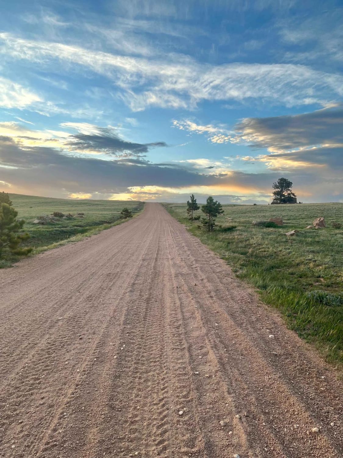
Caretakers

Caretakers

This graded and well-maintained backroad cuts through the Medicine Bow National Forest, just north of HWY 210 and the unique Vedauwoo area. This route offers undulating country roads and provides access to lots of dispersed…
Learn more about Caretakers
Total Miles
6.5
Tech Rating
1 Easy
Best Time
Spring, Summer, Fall
Learn more about Cascade North Twin
Cascade North Twin

Cascade North Twin

This trail offers almost every terrain you can think of to encounter. The trail starts off by driving down a flooded creek bed, and there are many water crossings after that as you travel alongside…
Learn more about Cascade North Twin
Total Miles
7.2
Tech Rating
4 Moderate
Best Time
Summer, Fall
Learn more about Cheek Clapper
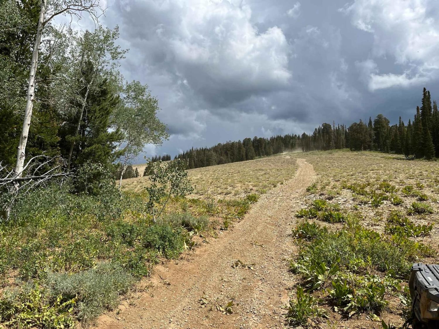
Cheek Clapper

Cheek Clapper

What starts out as a gradual, winding ascent into the trees, finishes off as a rambunctions scramble up a rock field that will have you, as the name implies, clapping your cheeks on your seat…
Learn more about Cheek Clapper
Total Miles
3.8
Tech Rating
4 Moderate
Best Time
Summer, Fall
Learn more about Christina Lake
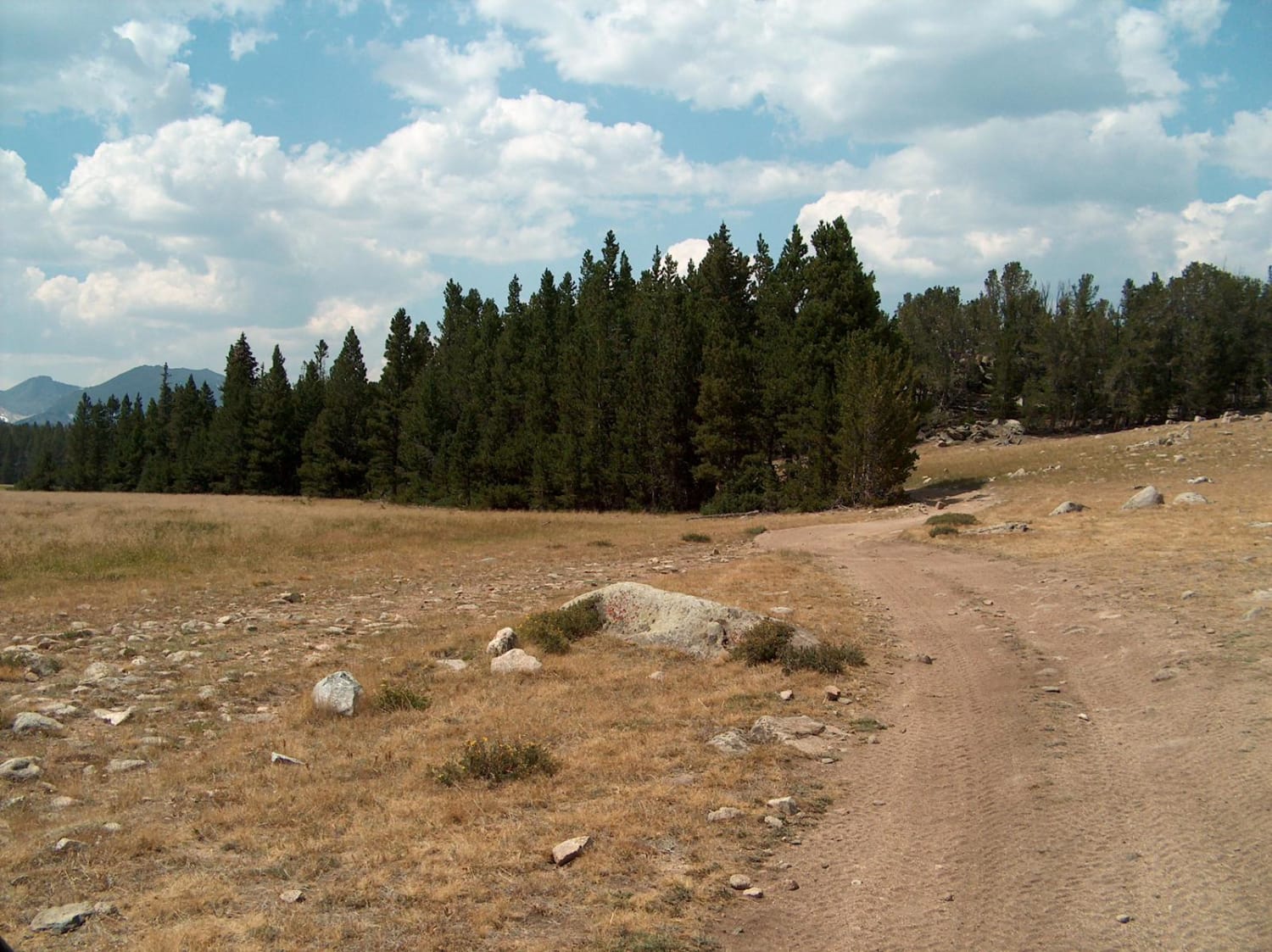
Christina Lake

Christina Lake

This challenging route takes you to Gustave Lake and Christina Lake near the boundary of the Popo Agie Wilderness in the Wind River Range. The first few miles of this road follows a fairly smooth…
Learn more about Christina Lake
Total Miles
9.0
Tech Rating
5 Moderate
Best Time
Summer, Fall
Learn more about Clarks Fork Canyon
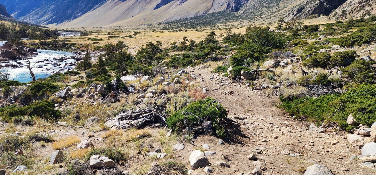
Clarks Fork Canyon

Clarks Fork Canyon

Clarks Fork Canyon is located in the Shoshone National Forest West of Clark, Wyoming. This is an out-and-back trail running East-West with a round trip distance of approximately 8 miles. Due to the flooding, the…
Learn more about Clarks Fork Canyon
Total Miles
4.4
Tech Rating
3 Easy
Best Time
Summer, Fall
Learn more about Cliff Creek - 30530
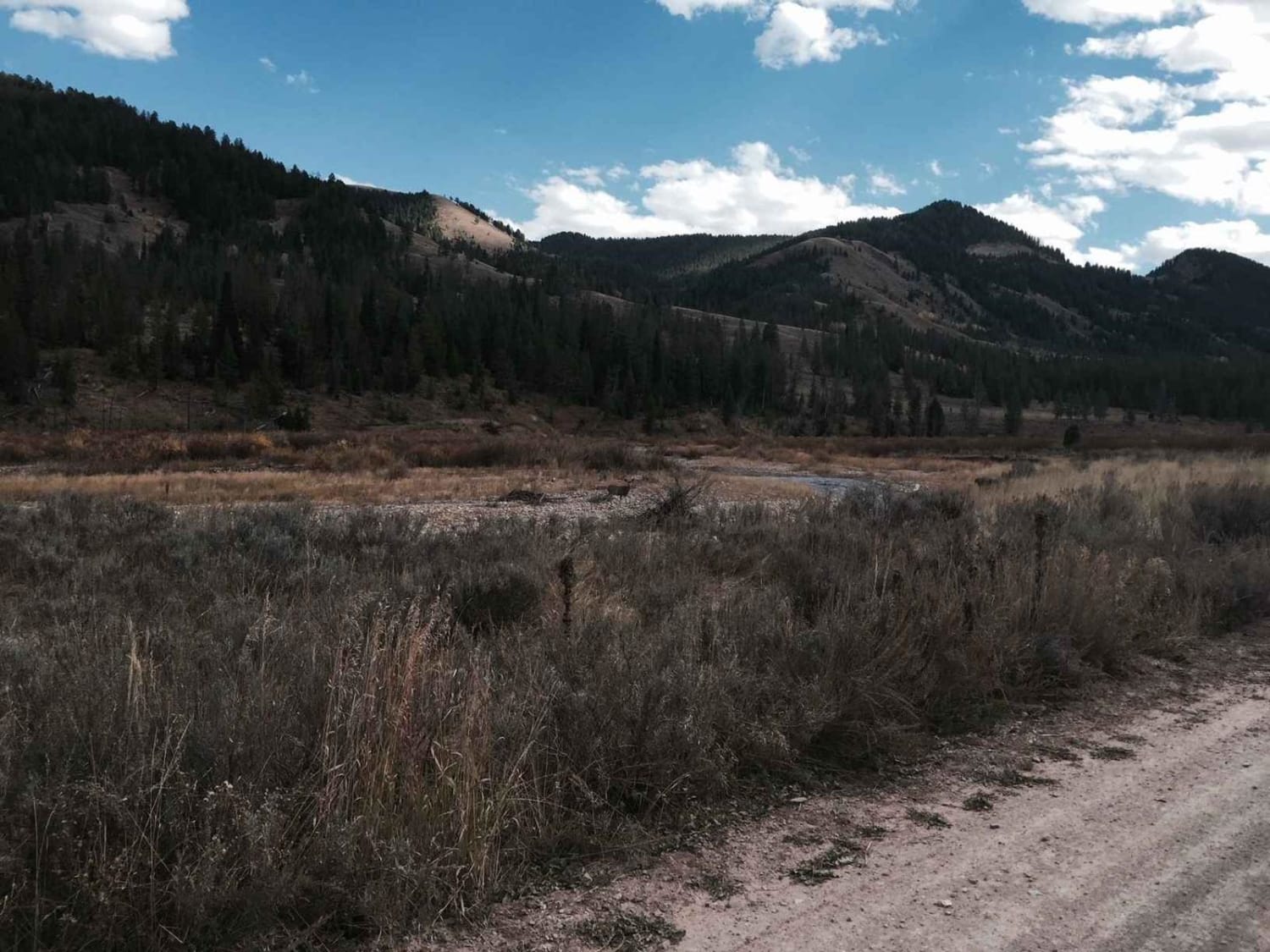
Cliff Creek - 30530

Cliff Creek - 30530

The trail has beautiful views and is an easy entrance to several hiking, mountain biking, and horse trails in the forest. The road is smooth dirt with mud possible during wet seasons. A few areas…
Learn more about Cliff Creek - 30530
Total Miles
6.9
Tech Rating
1 Easy
Best Time
Spring, Summer, Fall, Winter
Learn more about Copmans Tomb - Grouse Creek (Trails 216 & 219)
Copmans Tomb - Grouse Creek (Trails 216 & 219)

Copmans Tomb - Grouse Creek (Trails 216 & 219)

You travel south from Hunt Mountain Road and go generally southwest and then southeast along Grouse Creek, ending up at an overlook of Antelope Butte Ski Area. The trail winds through some incredible rock formations…
Learn more about Copmans Tomb - Grouse Creek (Trails 216 & 219)
Total Miles
5.2
Tech Rating
2 Easy
Best Time
Spring, Summer, Fall
Learn more about Cottonwood
Cottonwood

Cottonwood

You access this road from County Road 153. Cottonwood Lake is at the top of the road. There is camping and fishing there as well. The road can be busy at times which can make…
Learn more about Cottonwood
Total Miles
6.0
Tech Rating
1 Easy
Best Time
Summer, Fall
Learn more about Crazy Lakes
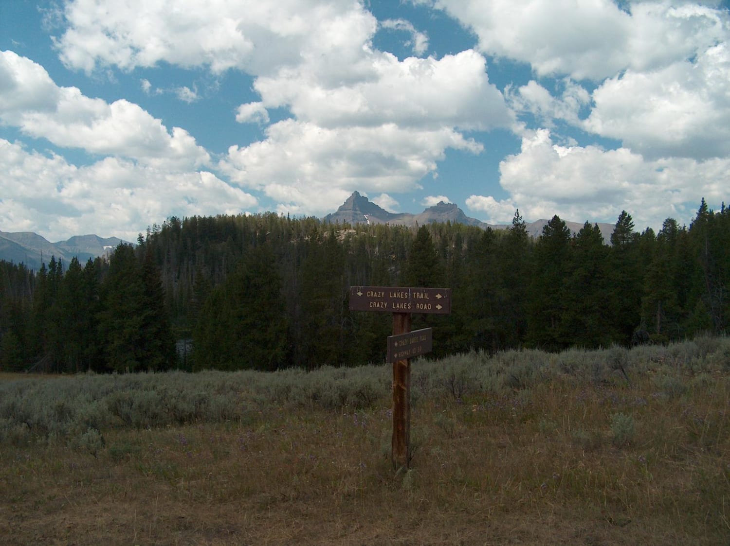
Crazy Lakes

Crazy Lakes

The Crazy Lakes Road travels through a beautiful, remote area near the Wyoming-Montana border. The main route, Crazy Lakes Road, leads to the Absaroka Beartooth Wilderness boundary while short side spurs can be driven to…
Learn more about Crazy Lakes
Total Miles
5.8
Tech Rating
3 Moderate
Best Time
Summer, Fall
Learn more about Crazy Woman Canyon Road
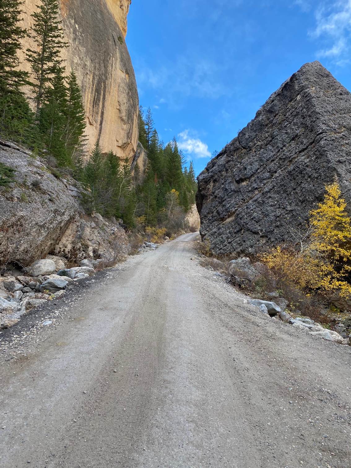
Crazy Woman Canyon Road

Crazy Woman Canyon Road

The canyon is a spectacular sight, and one of the best nature attractions in Northeast Wyoming. The road that winds through the canyon is lined with steep cliffs on both sides and immense boulders. Crazy…
Learn more about Crazy Woman Canyon Road
Total Miles
4.8
Tech Rating
2 Easy
Best Time
Fall, Summer, Spring
Learn more about Crow Spring Road
Crow Spring Road

Crow Spring Road

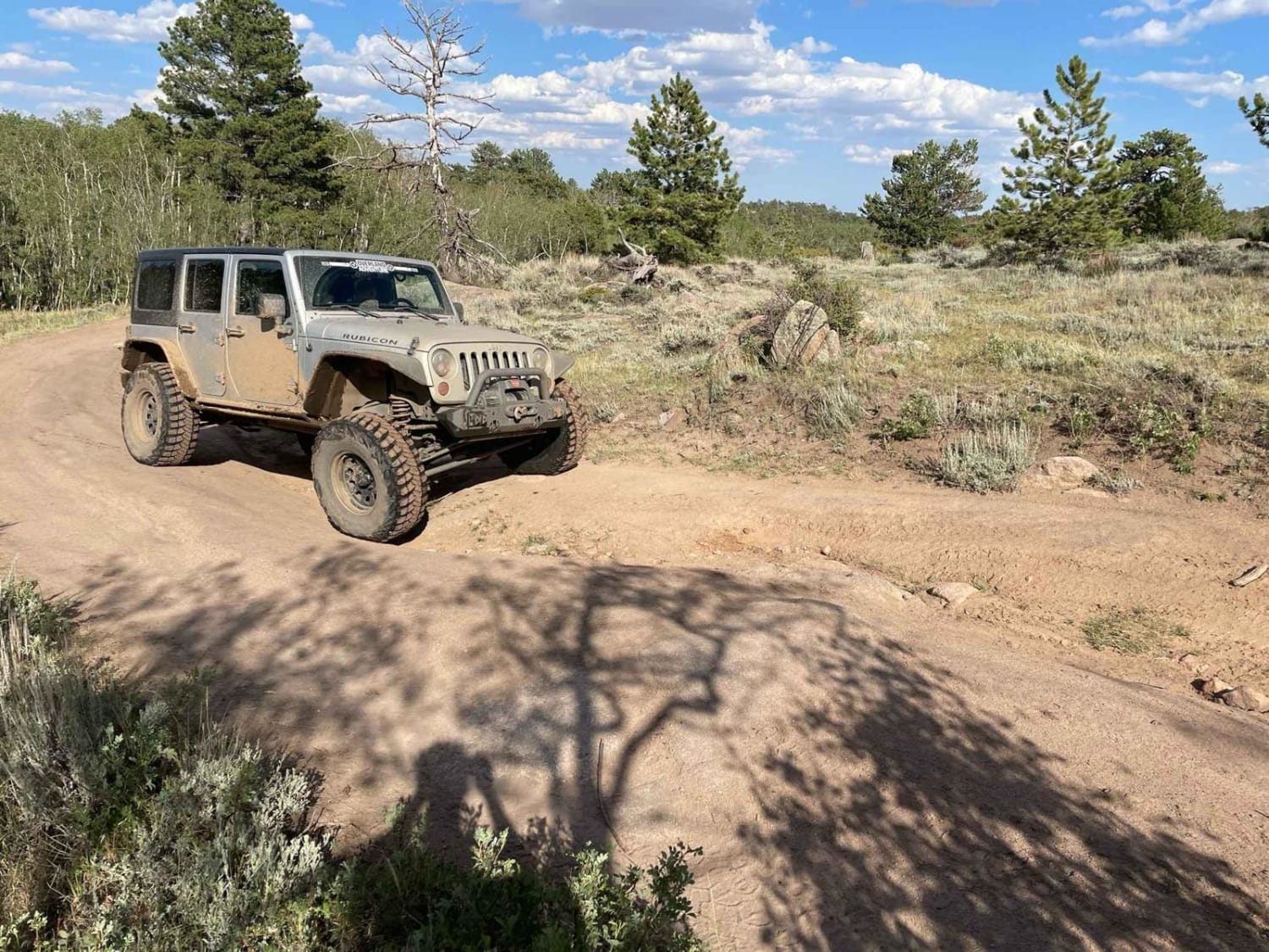
The beginning of this route on the North Branch Crow Creek Road is fairly easy, with only a few tight turns and requiring only enough clearance to negotiate the standard forest service earthen water diversion…
Learn more about Crow Spring Road
Total Miles
8.3
Tech Rating
3 Easy
Best Time
Summer, Fall
Learn more about Cundick Ridge Road
Cundick Ridge Road

Cundick Ridge Road

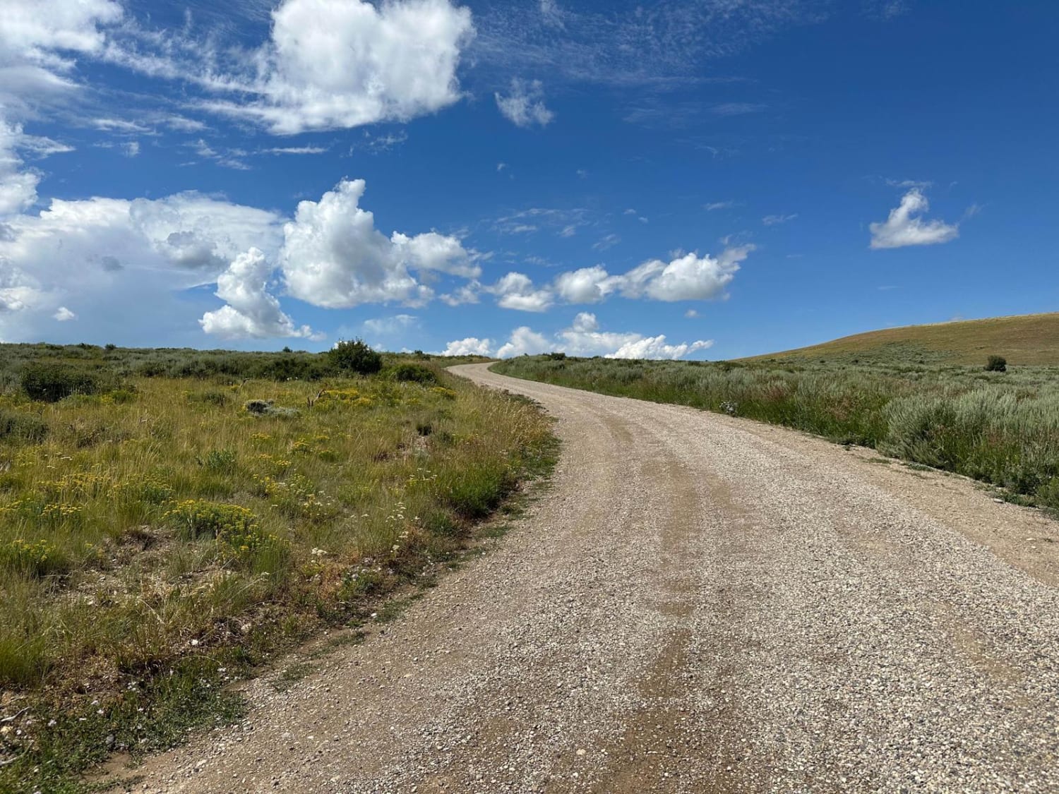
This trail is located in Fossil Butte National Monument. The trail starts at the Nature Trail parking lot, which is 2.5 miles up the paved road from the Visitor Center parking lot. RVs and vehicles…
Learn more about Cundick Ridge Road
Total Miles
2.8
Tech Rating
2 Easy
Best Time
Summer
Learn more about DJ 220
DJ 220

DJ 220

This is an easy and slow drive with a few hills to climb along the way. Most of the hills could get very difficult if there is any measurable amount of rain. Towards the end…
Learn more about DJ 220
Total Miles
15.0
Tech Rating
3 Easy
Best Time
Spring, Summer, Fall
Learn more about Dry Creek
Dry Creek

Dry Creek

The Point to Point trail is a scenic ride through the pines. The lower section of the trail is a typical forest service road, a 1 or 2 on the difficulty chart. Then you start…
Learn more about Dry Creek
Total Miles
8.0
Tech Rating
4 Moderate
Best Time
Summer, Fall
Learn more about Dry Fork
Dry Fork

Dry Fork

This is a scenic trail with beaver ponds along the way and the occasional beaver sighting. The trail has been redone by the Forest Service, which dropped the technical rating from a 5 to a…
Learn more about Dry Fork
Total Miles
6.8
Tech Rating
1 Moderate
Best Time
Summer, Fall
Learn more about Dugway
Dugway

Dugway

This route is a steep scenic climb from the foothills of the Bighorn Mountains to near the top of Hunt Mountain which sits 10,000 feet above sea level. At various points on the road, you…
Learn more about Dugway
Total Miles
9.4
Tech Rating
4 Moderate
Best Time
Summer, Fall
Learn more about Duncan Lake
Duncan Lake

Duncan Lake

This is a fairly good road, for an unmaintained road, from Highway 14 to Duncan Lake. There are many scenic views along the way, and the small lake is stocked for fishing as well as…
Learn more about Duncan Lake
Total Miles
3.4
Tech Rating
2 Easy
Best Time
Summer, Fall
Learn more about Eagle Rock
Eagle Rock

Eagle Rock

This Forest Service backroad cuts through the Medicine Bow National Forest, just north of HWY 210 and the unique Pole Mountain and Vedauwoo areas. This route offers single-lane country roads and provides access to lots…
Learn more about Eagle Rock
Total Miles
6.4
Tech Rating
2 Easy
Best Time
Spring, Summer, Fall

The onX Offroad Difference

onX Offroad combines trail photos, descriptions, difficulty ratings, width restrictions, seasonality, and more in a user-friendly interface. Available on all devices, with offline access and full compatibility with CarPlay and Android Auto. Discover what you’re missing today!