Off-Road Trails in Arizona

Discover off-road trails in Arizona

Learn more about Back Road to Wikieup
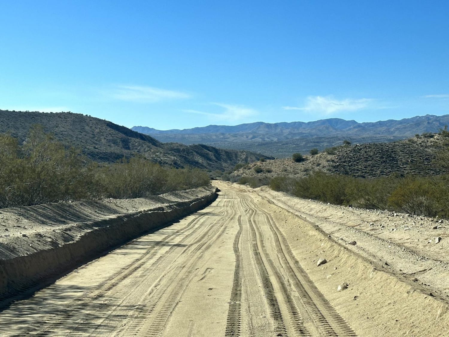
Back Road to Wikieup

Back Road to Wikieup

This 14.4-mile point-to-point trail is a maintained county road with access to several other trails. This is a small section of the Arizona Peace Trail which is a 675-mile off-road trail that loops through Mohave,…
Learn more about Back Road to Wikieup
Total Miles
14.4
Tech Rating
1 Easy
Best Time
Spring, Summer, Fall, Winter
Learn more about Back to the Corner
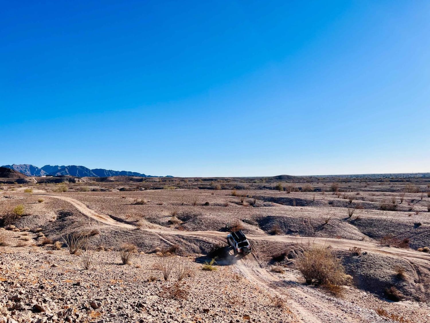
Back to the Corner

Back to the Corner

This fun trail hugs the edge of the hills as it twists and turns, climbs, and falls its way along the foothills. There are deep washouts, steep hill climbs, and narrow rocky squeezes. Throw in…
Learn more about Back to the Corner
Total Miles
2.1
Tech Rating
5 Moderate
Best Time
Spring, Fall, Winter
Learn more about Back Way to Black Canyon City
Back Way to Black Canyon City

Back Way to Black Canyon City

An off-highway route that winds through the mountains between Black Canyon City and the Table Mesa Recreation Area. Nice scenery and a few eroded, rocky hills add a bit of a challenge. The southern part…
Learn more about Back Way to Black Canyon City
Total Miles
10.3
Tech Rating
6 Moderate
Best Time
Fall, Summer
Learn more about Backward Tank
Backward Tank

Backward Tank

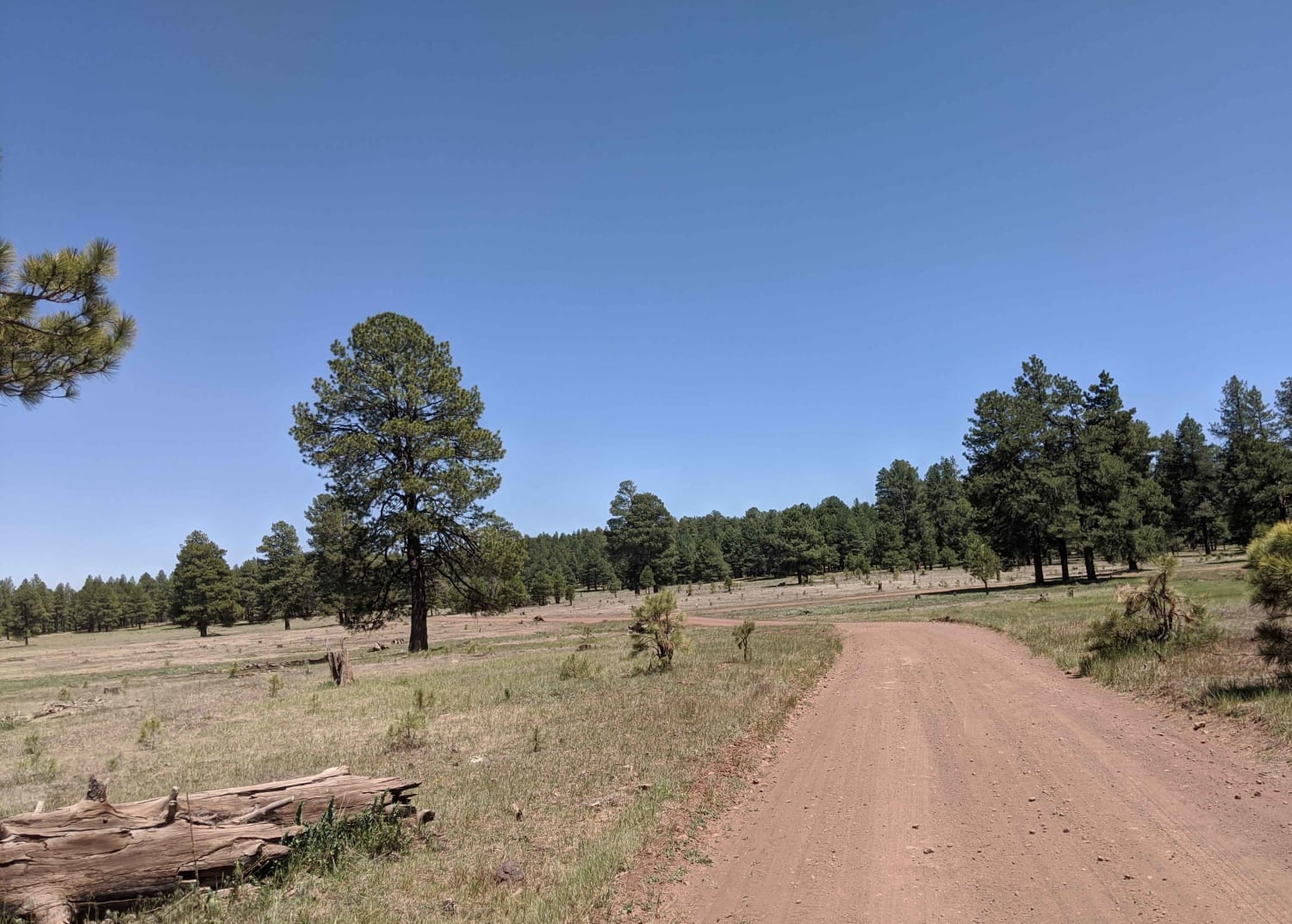
This is an easy, two-car width road with plenty of pull-offs. Not maintained in the winter. Along this route, you will find multiple camp spots, for both big and small groups, and beautiful open meadow…
Learn more about Backward Tank
Total Miles
3.6
Tech Rating
1 Easy
Best Time
Fall, Summer, Spring
Learn more about Backway to Alamo Lake
Backway to Alamo Lake

Backway to Alamo Lake

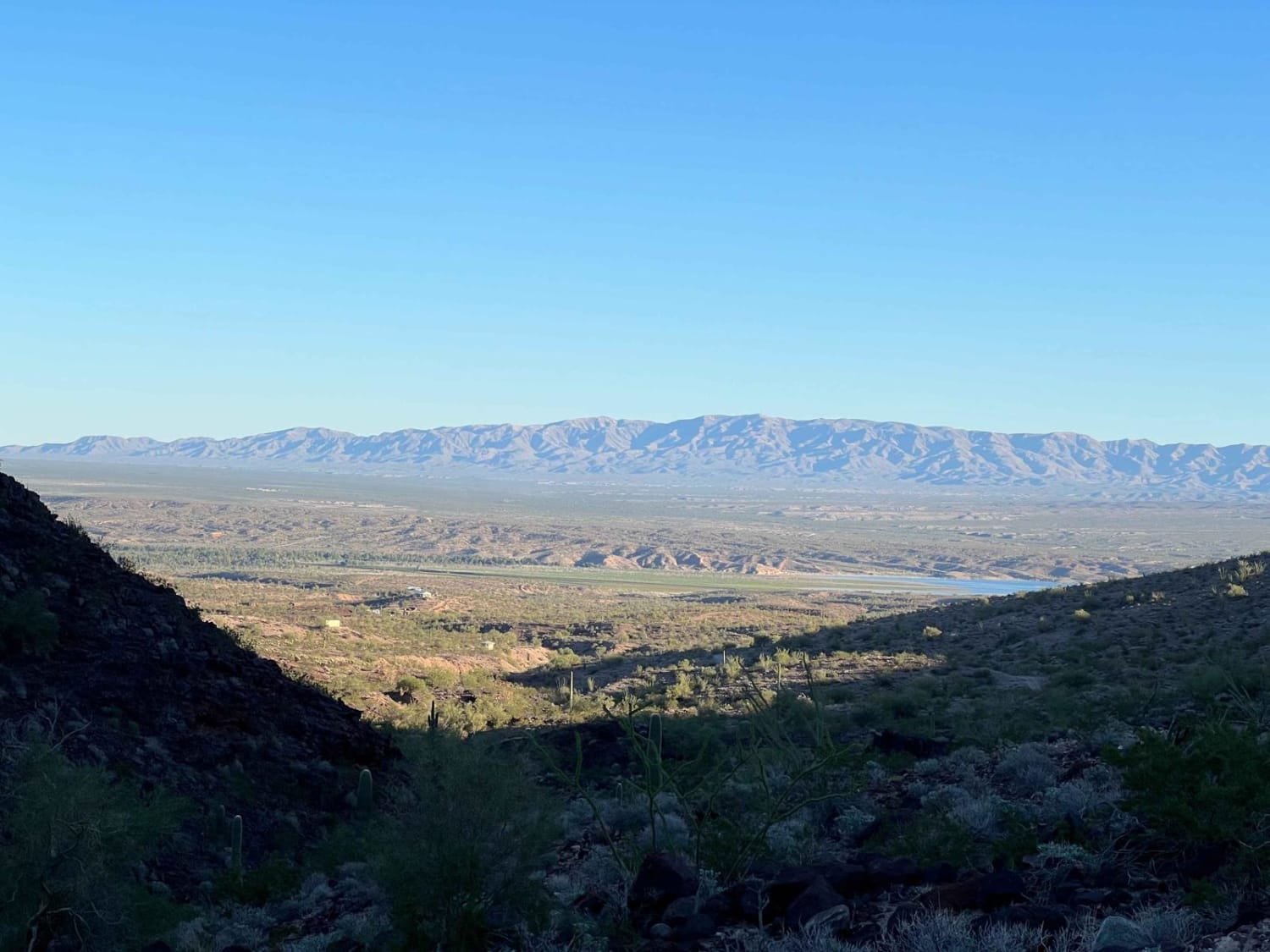
Backway to Alamo Lake (CR 167) offers a more technical route to access Alamo Lake from the northwest in comparison with County Highway 15/Alamo Road/Maggie Wash. Access this route south of Signal Road and enjoy…
Learn more about Backway to Alamo Lake
Total Miles
17.9
Tech Rating
5 Moderate
Best Time
Spring, Fall, Winter
Learn more about Backway to Bunker Bar
Backway to Bunker Bar

Backway to Bunker Bar

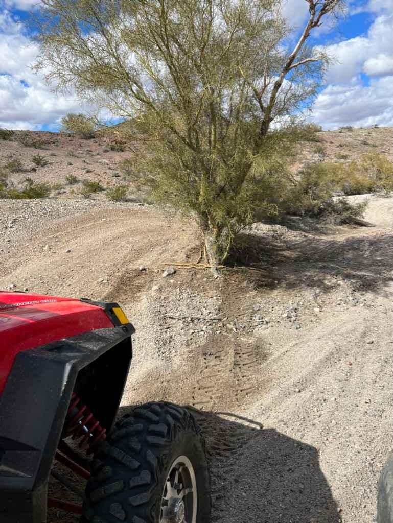
Tired of fighting all the cars on Thirsty Lizard Road? Ready to take a break for a cold drink and some good food? Take this secret passage behind Havasu Heights to get to the Bunker!…
Learn more about Backway to Bunker Bar
Total Miles
3.3
Tech Rating
4 Moderate
Best Time
Spring, Winter
Learn more about Backway to Crown King
Backway to Crown King

Backway to Crown King

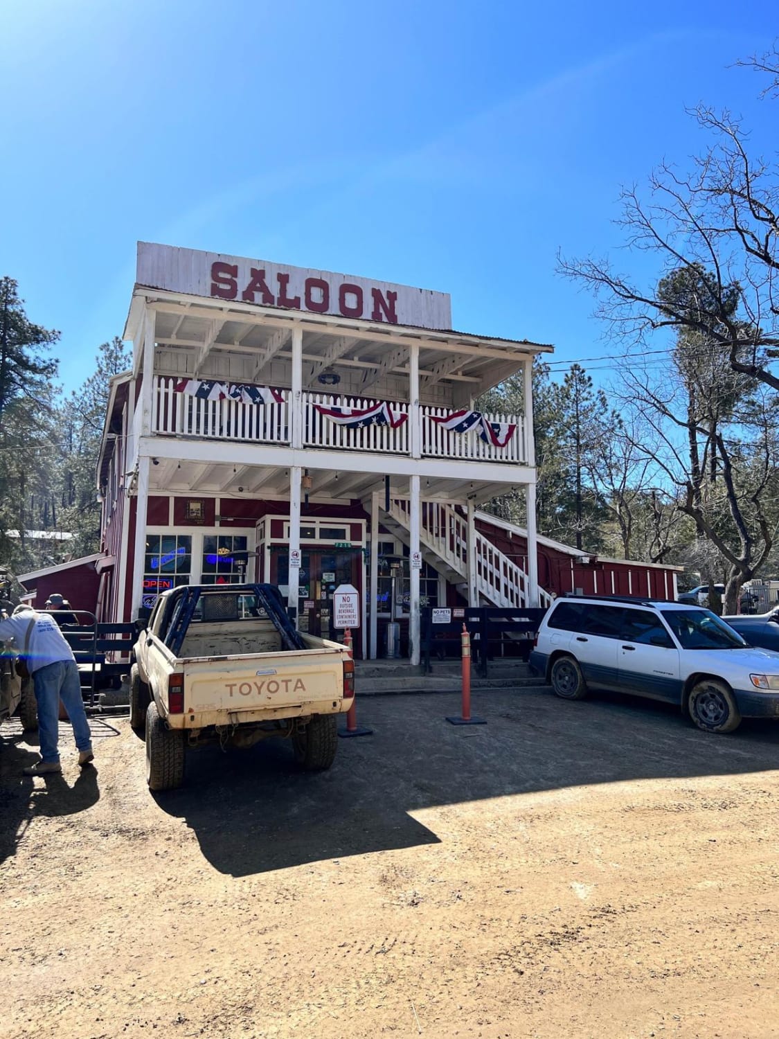
The Backway to Crown King begins at Lake Pleasant and ends at the old mining town of Crown King. This historic route offers something for everyone, making it the most popular 4x4 trail in Arizona.…
Learn more about Backway to Crown King
Total Miles
25.0
Tech Rating
7 Difficult
Best Time
Summer
Learn more about Backway to Desert Bar
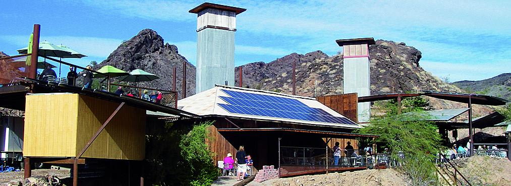
Backway to Desert Bar

Backway to Desert Bar

Although you can get to the Desert Bar on Cienega Springs Road, why would you want to when there is a really fun back way to get there? Its considerably difficult and off the beaten…
Learn more about Backway to Desert Bar
Total Miles
9.8
Tech Rating
5 Moderate
Best Time
Fall, Winter, Spring
Learn more about Backway to Mount Lemmon
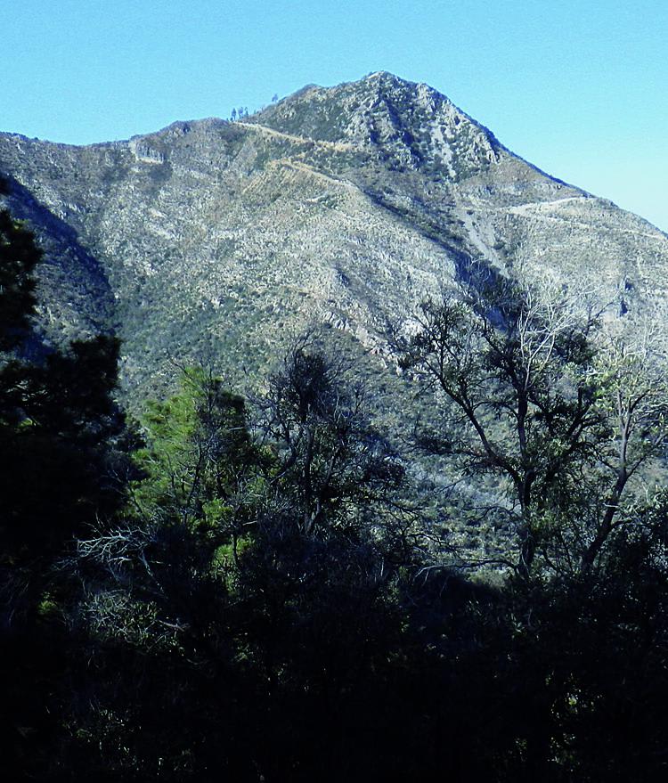
Backway to Mount Lemmon

Backway to Mount Lemmon

Many drivers opt to skip this unremarkable backroad. There is a 6-mile section of the road that climbs and winds up the mountain, but other than that, it is pretty uneventful. Unlicensed vehicles are okay…
Learn more about Backway to Mount Lemmon
Total Miles
47.7
Tech Rating
2 Easy
Best Time
Summer
Learn more about Backway to Sheeps Bridge
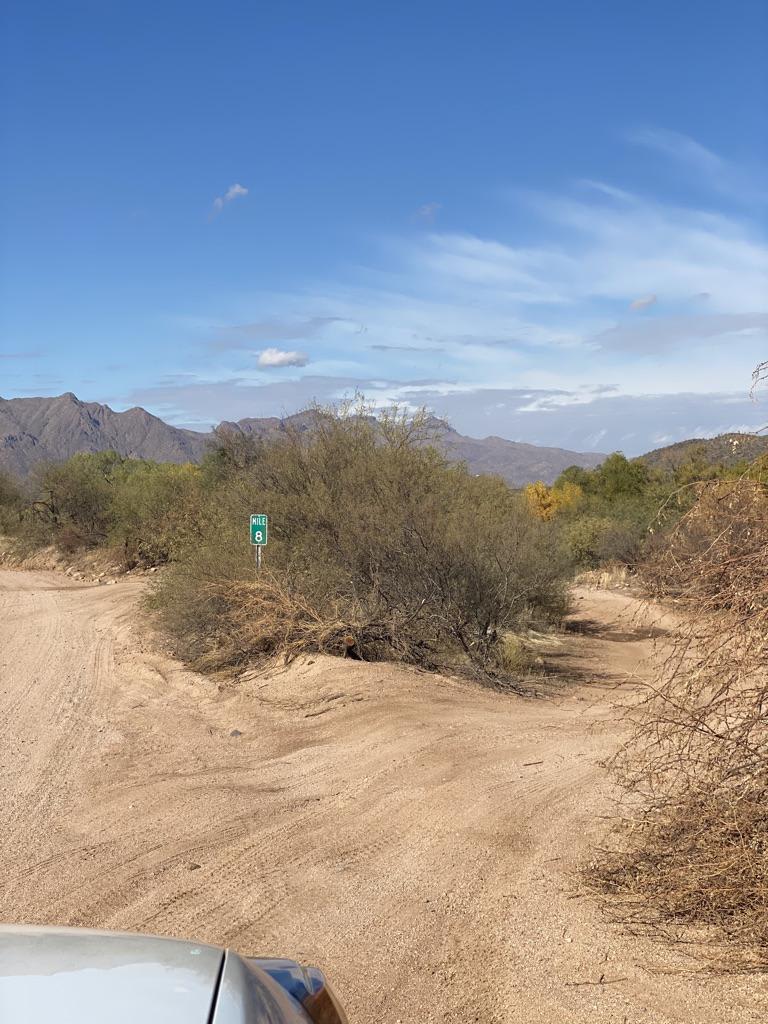
Backway to Sheeps Bridge

Backway to Sheeps Bridge

This trail provides a shorter alternative to Bloody Basin Road for viewing Sheeps Bridge and the Hot Springs. This trail is simple enough, but there are a few water crossings. The second crossing across the…
Learn more about Backway to Sheeps Bridge
Total Miles
11.7
Tech Rating
5 Moderate
Best Time
Spring, Summer, Fall, Winter
Learn more about Backway to Waterfall
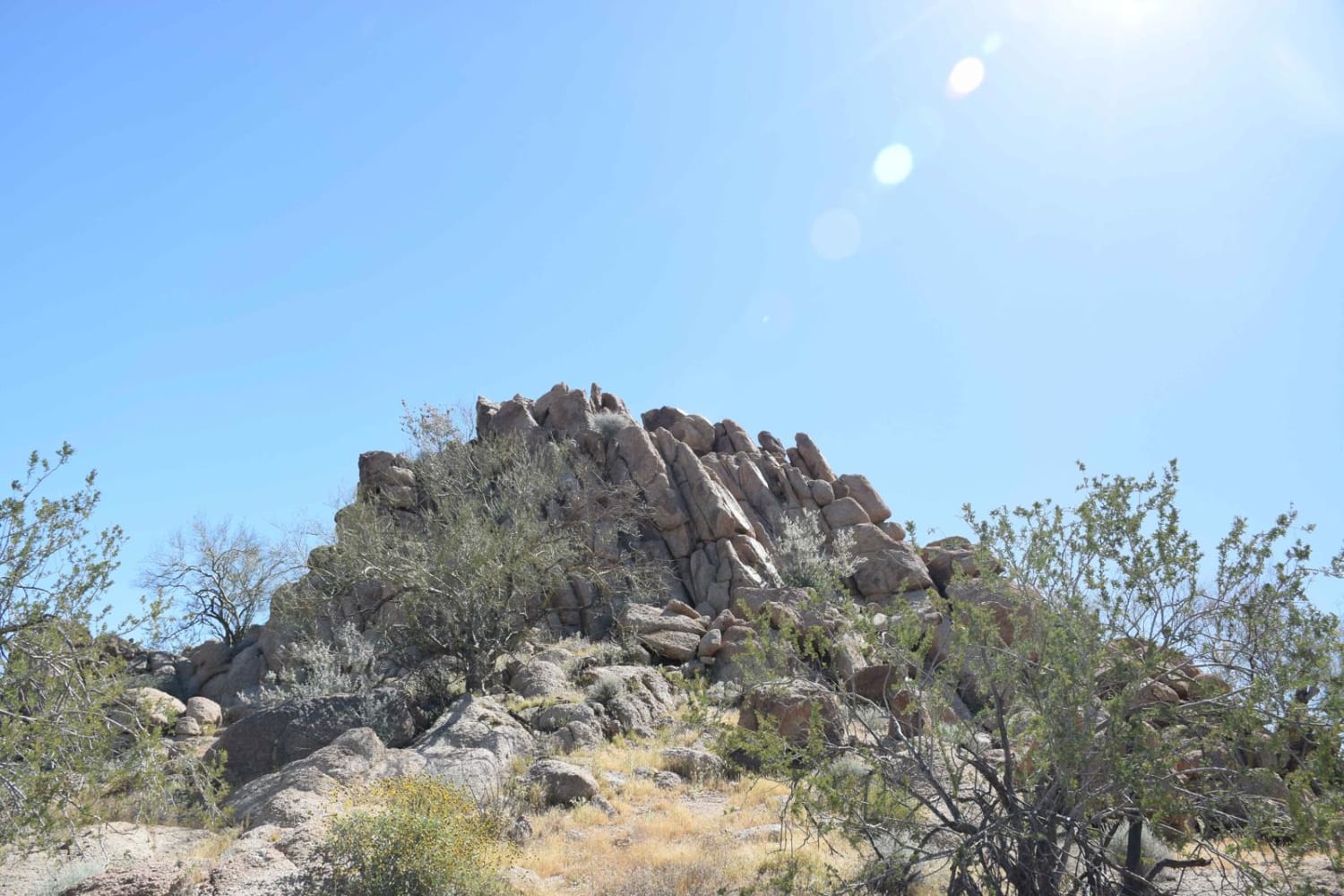
Backway to Waterfall

Backway to Waterfall

This easy backway to the waterfall trail makes for a fun drive with plenty of stops throughout. Along the way, you will find small and large rock features that will be great for stops for…
Learn more about Backway to Waterfall
Total Miles
1.4
Tech Rating
3 Easy
Best Time
Spring, Fall, Winter, Summer
Learn more about Backway to Williams - Jerome Trail
Backway to Williams - Jerome Trail

Backway to Williams - Jerome Trail

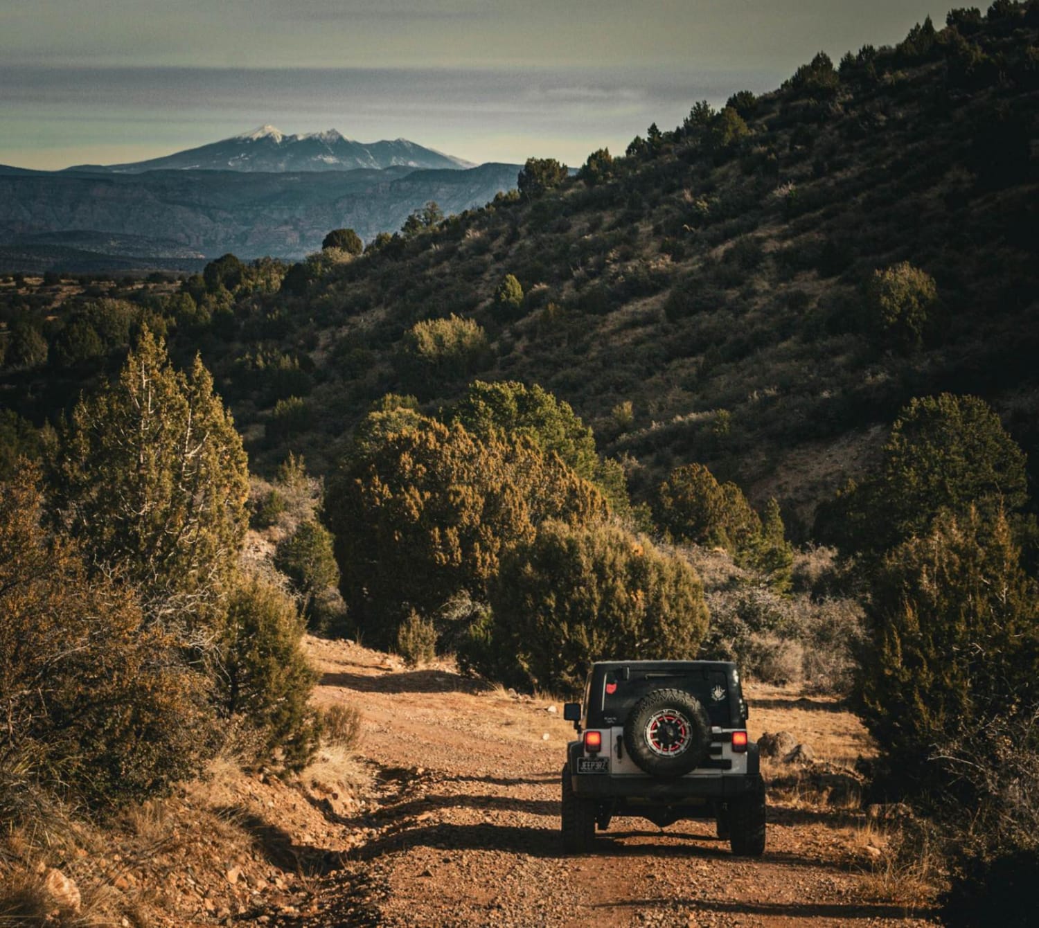
This trail is fairly easy for any high-clearance 4x4 vehicles. A stock Jeep or 4Runner could do this trail, as well as any SXS. There are rutted areas that can become muddy and possibly flood…
Learn more about Backway to Williams - Jerome Trail
Total Miles
15.0
Tech Rating
6 Moderate
Best Time
Winter, Fall, Summer
Learn more about Badger Canyon
Badger Canyon

Badger Canyon

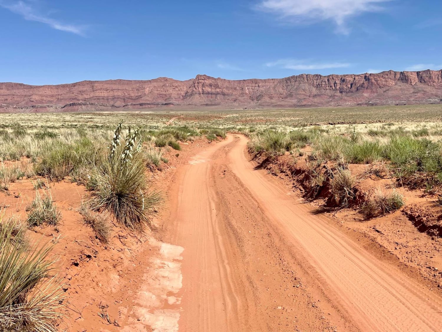
This short out-and-back trail is a trendy camping spot. It will be particularly busy over the weekends. To check it out, either way, is entirely worth it. The trail offers outstanding views of the surrounding…
Learn more about Badger Canyon
Total Miles
1.9
Tech Rating
1 Easy
Best Time
Spring, Fall
Learn more about Badlands Trail
Badlands Trail

Badlands Trail

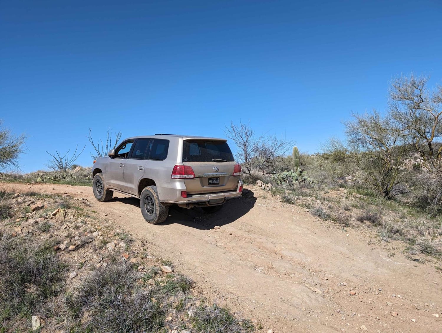
This cut-across from East Edwin Road to East Cochise Springs Road is a nice 4x4 track that leads you to many more remote campsites and to the "Badlands" loop trail system for mountain bikes. The…
Learn more about Badlands Trail
Total Miles
5.5
Tech Rating
3 Easy
Best Time
Spring, Fall, Winter
Learn more about Bajada Loop, Saguaro NP
Bajada Loop, Saguaro NP

Bajada Loop, Saguaro NP

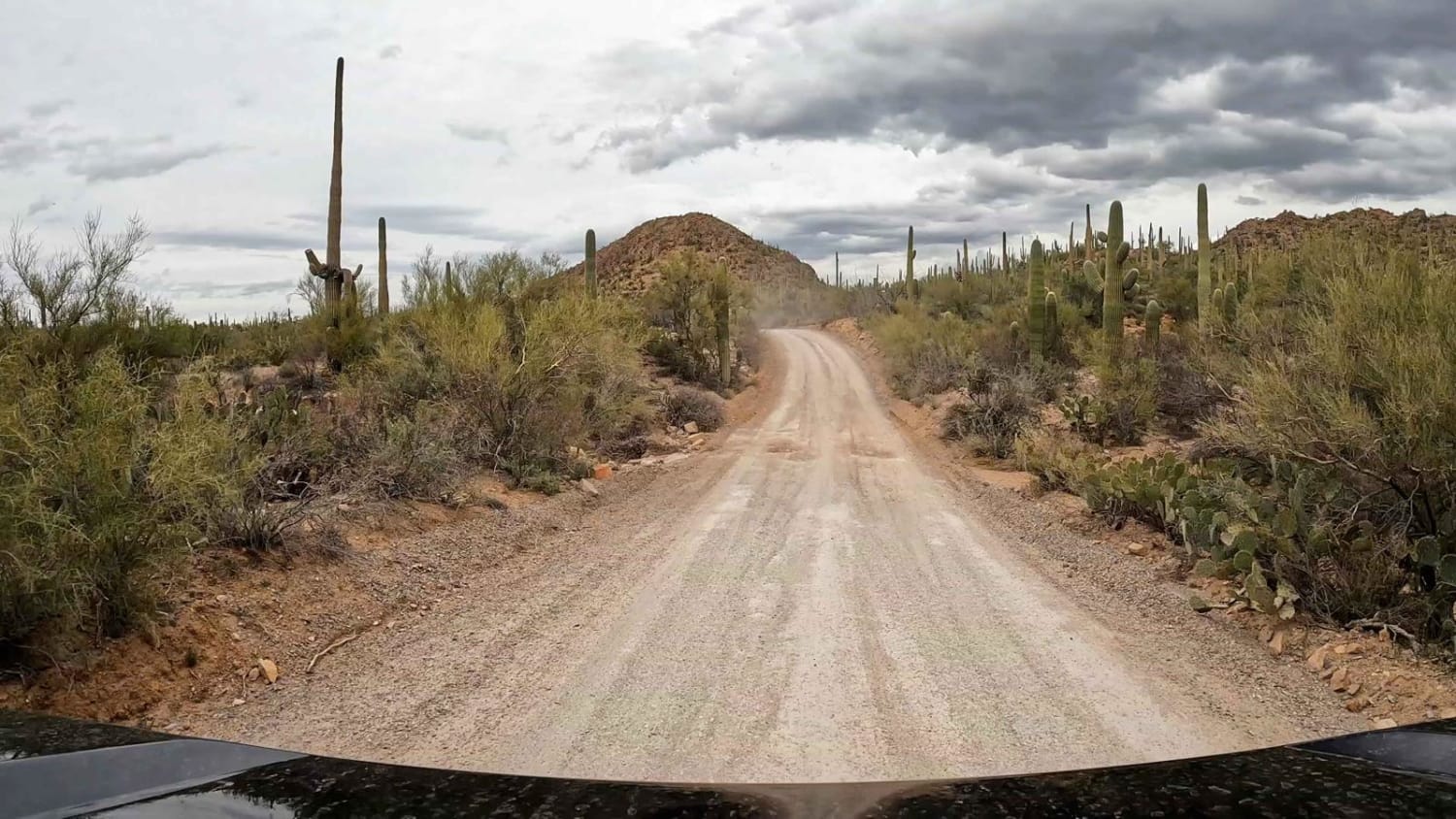
Bajada Loop is one to two-lane dirt and gravel loop road within Saguaro National Park that has lots of washboards and some potholes. It is one way in some areas and should be started from…
Learn more about Bajada Loop, Saguaro NP
Total Miles
7.3
Tech Rating
1 Easy
Best Time
Spring, Summer, Fall, Winter
Learn more about Bannie and Amulet Mine
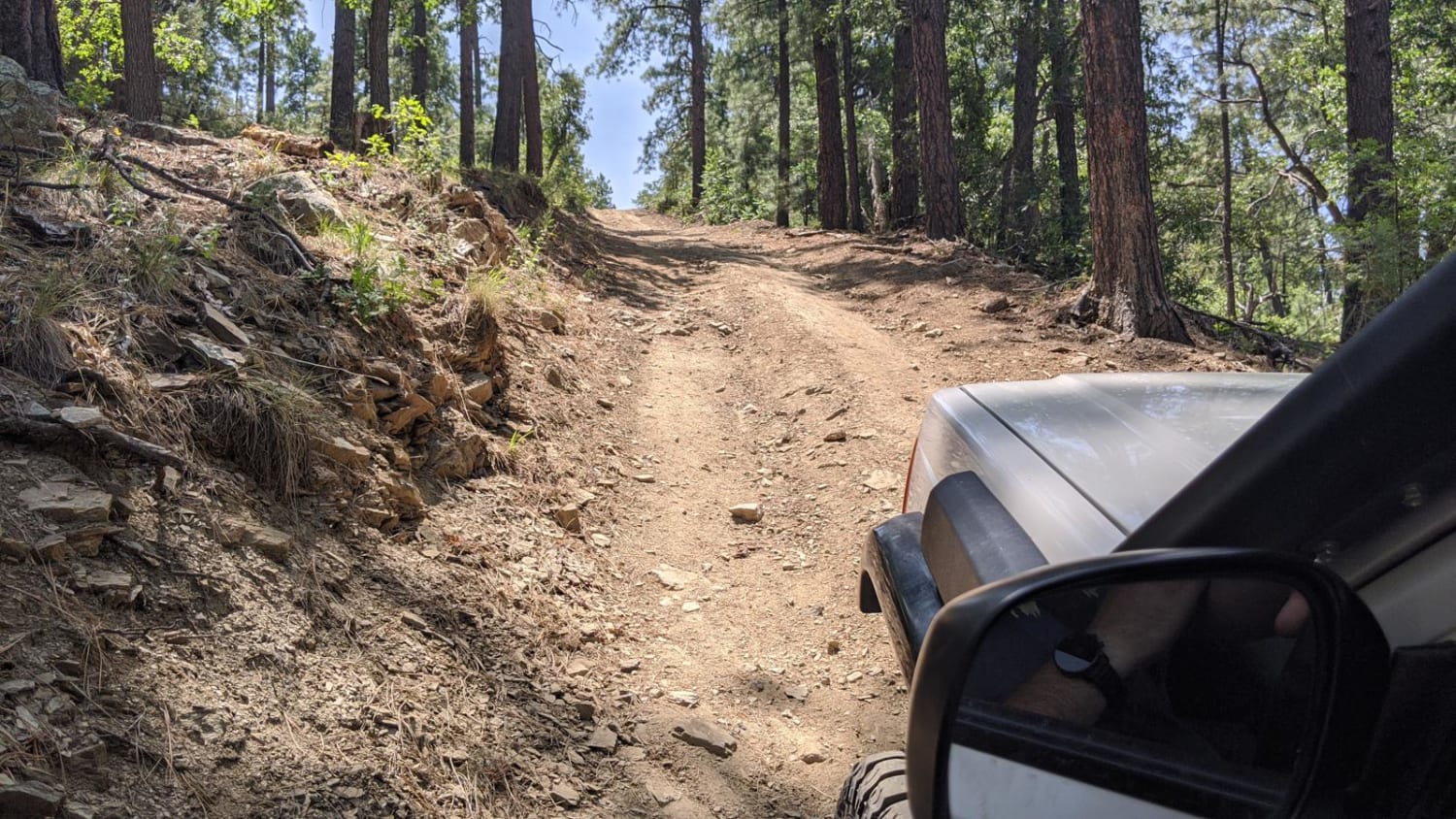
Bannie and Amulet Mine

Bannie and Amulet Mine

This drive through ponderosa pines leads to two historic mine remains. Drivers may miss Bannie Mine, as it has little evidence left, but Amulet Mine features historic foundations and metal materials just off the side…
Learn more about Bannie and Amulet Mine
Total Miles
3.2
Tech Rating
3 Easy
Best Time
Spring, Summer, Fall
Learn more about Bar 37
Bar 37

Bar 37

Bar 37 is a delightful trail, compared to the two trails further north. If you start on this trail, enjoy it, because the next two won't be as smooth as Bar 37. Somewhat rocky and…
Learn more about Bar 37
Total Miles
3.4
Tech Rating
3 Easy
Best Time
Spring, Summer, Fall
Learn more about Bar M Road
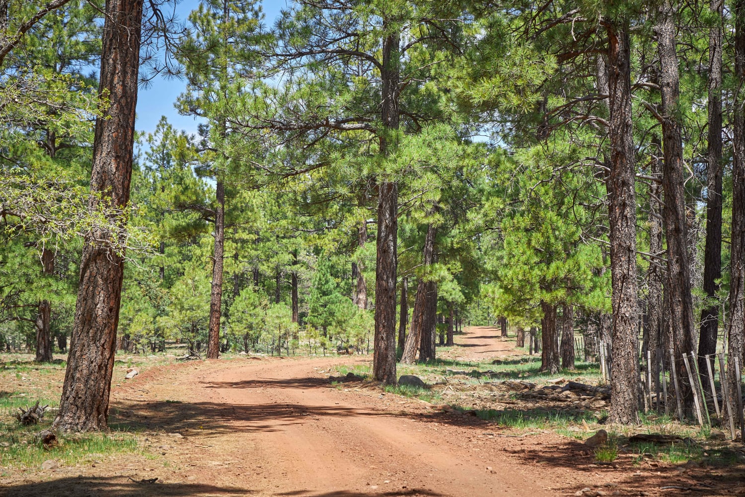
Bar M Road

Bar M Road

This rough forest road has sporadic pull-through primitive campsites scattered throughout, though sites are more densely dispersed closer to the I-17. With no obstacles over 12", this road is clearly unmaintained and could prove challenging…
Learn more about Bar M Road
Total Miles
10.8
Tech Rating
3 Easy
Best Time
Spring, Summer, Fall
Learn more about Barnes BLM Inlet
Barnes BLM Inlet

Barnes BLM Inlet

Barnes Rd Entrance to BLM Lands and Trails, Barnes Rd Staging area also here on the right and left side of the trail, lots of room for truck/trailer and unloading. There is a nice view…
Learn more about Barnes BLM Inlet
Total Miles
1.7
Tech Rating
3 Easy
Best Time
Spring, Fall, Winter
Learn more about Barrata / 640
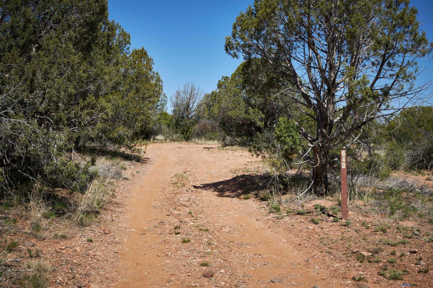
Barrata / 640

Barrata / 640

The Barrata trail is a great way to dip your toe into the beautiful wilderness of the Prescott National Forest. This single lane wide dirt trail has gorgeous views of the hills to the West.…
Learn more about Barrata / 640
Total Miles
5.8
Tech Rating
4 Moderate
Best Time
Spring, Fall, Winter
1 ... 9 10 11 12 13 14 15 16 17 18 ... 93

The onX Offroad Difference

onX Offroad combines trail photos, descriptions, difficulty ratings, width restrictions, seasonality, and more in a user-friendly interface. Available on all devices, with offline access and full compatibility with CarPlay and Android Auto. Discover what you’re missing today!