Off-Road Trails in Arizona

Discover off-road trails in Arizona

Learn more about ATV 7178
ATV 7178

ATV 7178

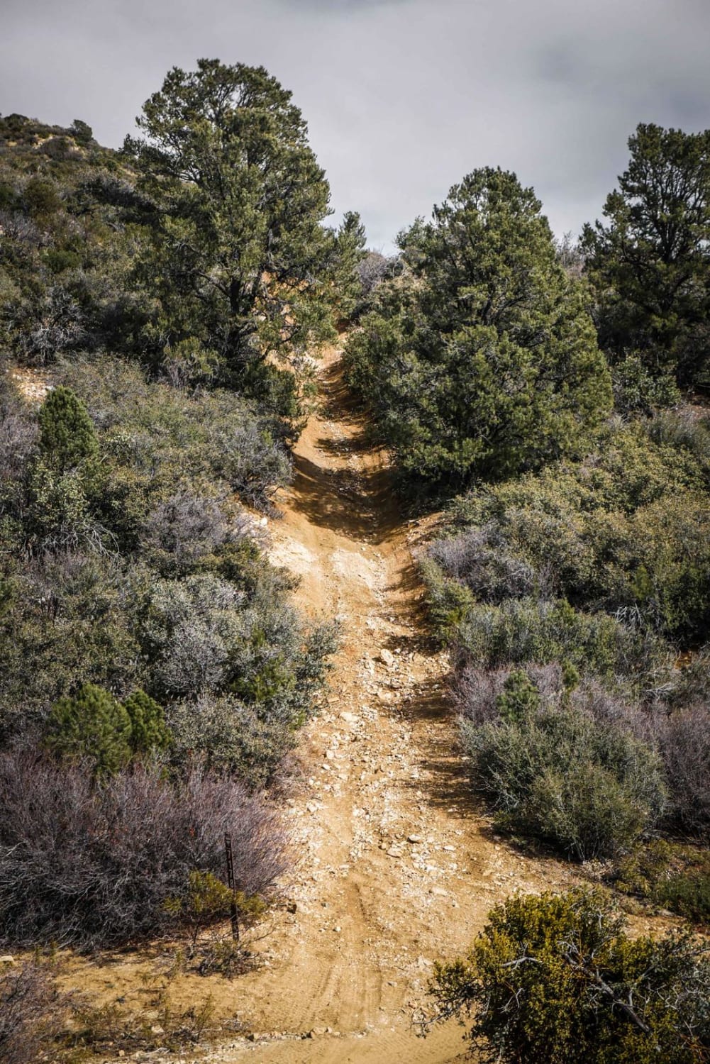
ATV Trail 7178 is a difficult two-track in the Hualapai Mountain Off-Road Park located near Kingman, AZ. It's a winding shelfy ATV trail with lots of small rocks, decomposed granite, wash outs, rain ruts, bigger…
Learn more about ATV 7178
Total Miles
2.6
Tech Rating
6 Moderate
Best Time
Winter, Fall, Spring
Learn more about ATV 7180
ATV 7180

ATV 7180

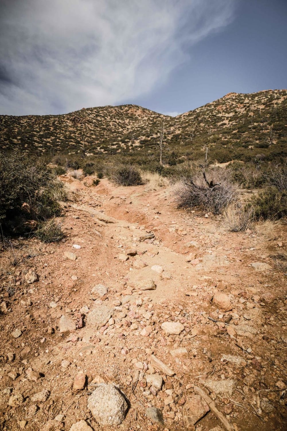
ATV trail 7180 is a very challenging out-and-back route for 50" vehicles in the Hualapai Mountain Off-Road Park. The trail starts from the intersection of ATV trail 7178 and BLM Route 7178 and makes a…
Learn more about ATV 7180
Total Miles
1.6
Tech Rating
8 Difficult
Best Time
Winter, Fall, Spring
Learn more about ATV Narrows
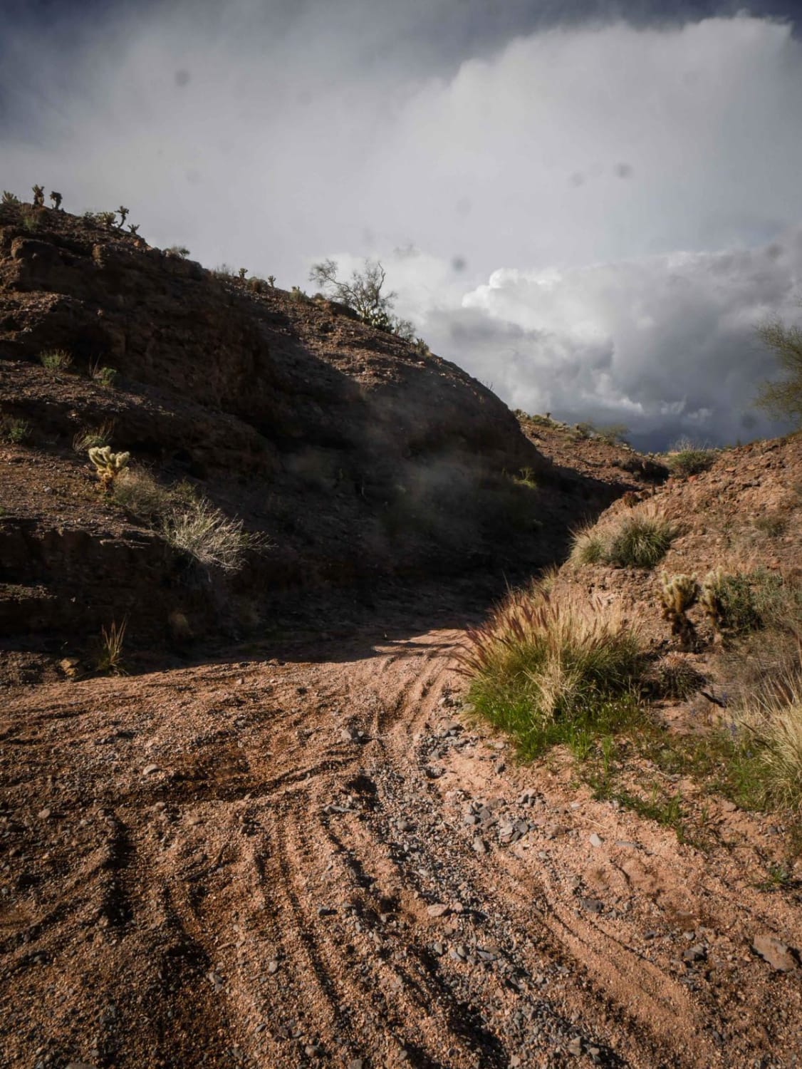
ATV Narrows

ATV Narrows

The Narrows is a short ATV trail through the Tonto National Forest near Camp Creek that is a unique little oasis in the desert. It goes through a canyon with tall dirt walls and embedded…
Learn more about ATV Narrows
Total Miles
0.3
Tech Rating
3 Easy
Best Time
Spring, Winter, Fall
Learn more about ATV Sand Wash Trail
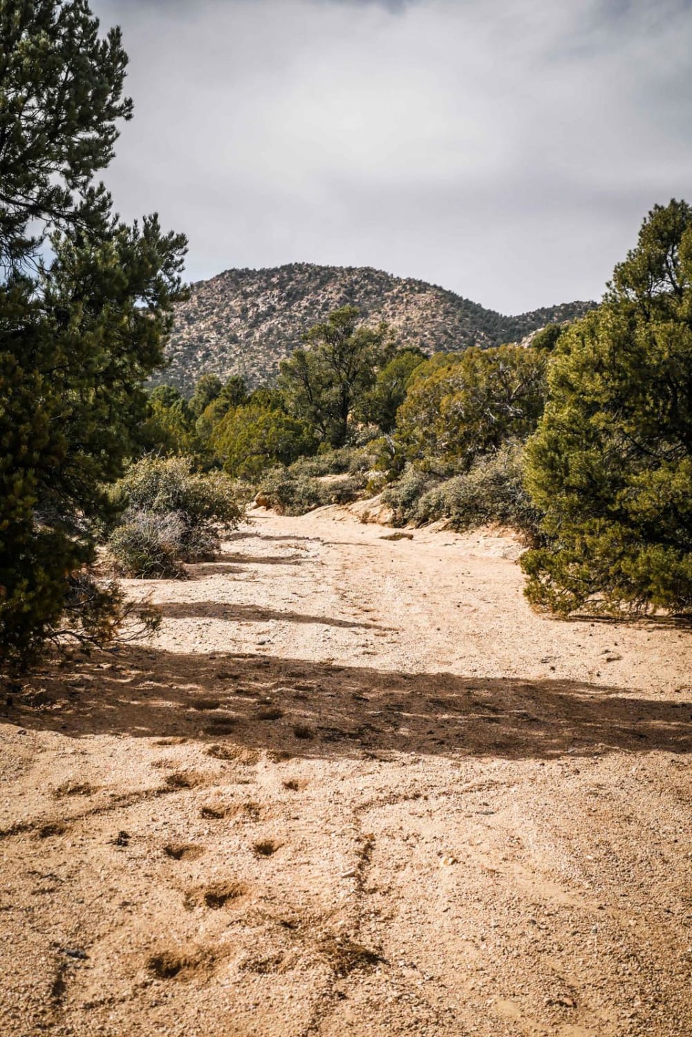
ATV Sand Wash Trail

ATV Sand Wash Trail

This is a short ATV connector trail through a sand wash accessed off of DW Ranch Road near Kingman, Arizona. The trail goes through a smooth sandy wash that is a bit narrower than a…
Learn more about ATV Sand Wash Trail
Total Miles
0.9
Tech Rating
1 Easy
Best Time
Winter, Fall, Spring
Learn more about ATV Spur Trails Boulevard
ATV Spur Trails Boulevard

ATV Spur Trails Boulevard

If you are looking for ATV spur trails, this road has them branching off in all directions until you hit the straightaway toward the residential area. This road has a wide-open area at the beginning…
Learn more about ATV Spur Trails Boulevard
Total Miles
1.0
Tech Rating
1 Easy
Best Time
Spring, Summer, Fall
Learn more about Aultman #546
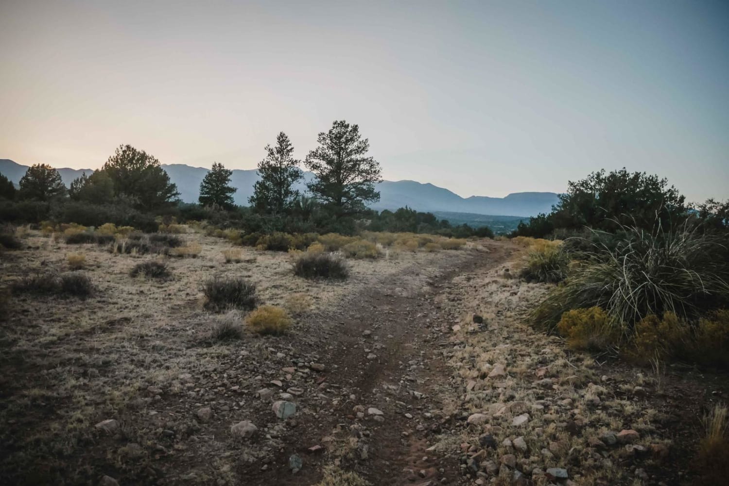
Aultman #546

Aultman #546

Aultman is part of the Hayfield Draw OHV system of 50-inch trails near Camp Verde, Arizona. This trail is one of the easiest trails in the area. It's an easy and wide two-track that is…
Learn more about Aultman #546
Total Miles
3.2
Tech Rating
2 Easy
Best Time
Spring, Fall, Winter
Learn more about Axel Alley
Axel Alley

Axel Alley

This trail has several major waterfalls, with at least one requiring the use of a winch. This trail is just over a mile in length but it doesn't give you much time to "breathe" in…
Learn more about Axel Alley
Total Miles
1.8
Tech Rating
10 Difficult
Best Time
Summer, Fall
Learn more about Axle Alley Loop
Axle Alley Loop

Axle Alley Loop

This trail has several major waterfalls, with at least one requiring the use of a winch. This trail is just over a mile in length, but it doesn't give you much time to "breathe" in-between…
Learn more about Axle Alley Loop
Total Miles
2.2
Tech Rating
10 Difficult
Best Time
Spring, Summer, Fall
Learn more about AXPT Bouse to Southern Cross Mine
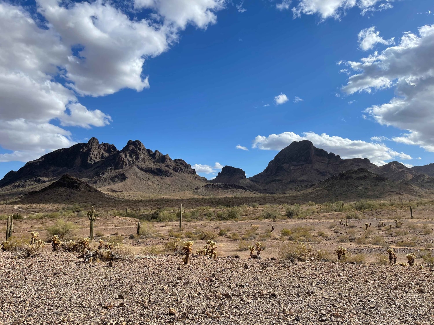
AXPT Bouse to Southern Cross Mine

AXPT Bouse to Southern Cross Mine

A mostly easy trail that starts as a washboard closer to town then turns into a narrow rutted whoops trail, transitioning from soft sand to gravel. The trail has a few challenging rocky sections but…
Learn more about AXPT Bouse to Southern Cross Mine
Total Miles
13.9
Tech Rating
4 Moderate
Best Time
Winter
Learn more about AZ Peace Trail Salome to Yuma
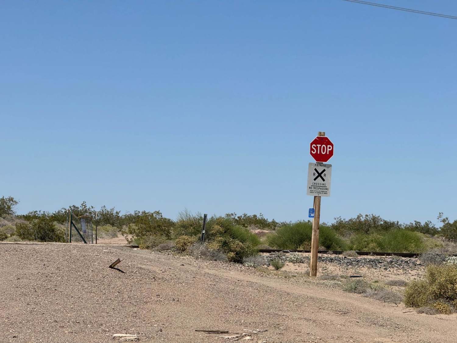
AZ Peace Trail Salome to Yuma

AZ Peace Trail Salome to Yuma

This is a very sandy and silt-covered trail in parts. These sections are short--100 yards, give or take--and can be questionable if you stop. Only in one area does it get soft enough to make…
Learn more about AZ Peace Trail Salome to Yuma
Total Miles
24.4
Tech Rating
4 Moderate
Best Time
Spring, Fall, Winter, Summer
Learn more about AZ Peace Trail Spur to Chloride
AZ Peace Trail Spur to Chloride

AZ Peace Trail Spur to Chloride

This is a spur section of the AZPT trail running from a mountaintop campsite to the living ghost town of Chloride. This trail can be connected to the Sleeping Princess trail; however, that section has…
Learn more about AZ Peace Trail Spur to Chloride
Total Miles
9.6
Tech Rating
3 Easy
Best Time
Spring, Fall
Learn more about AZ Peace Trail Spur to Davis Camp (East)
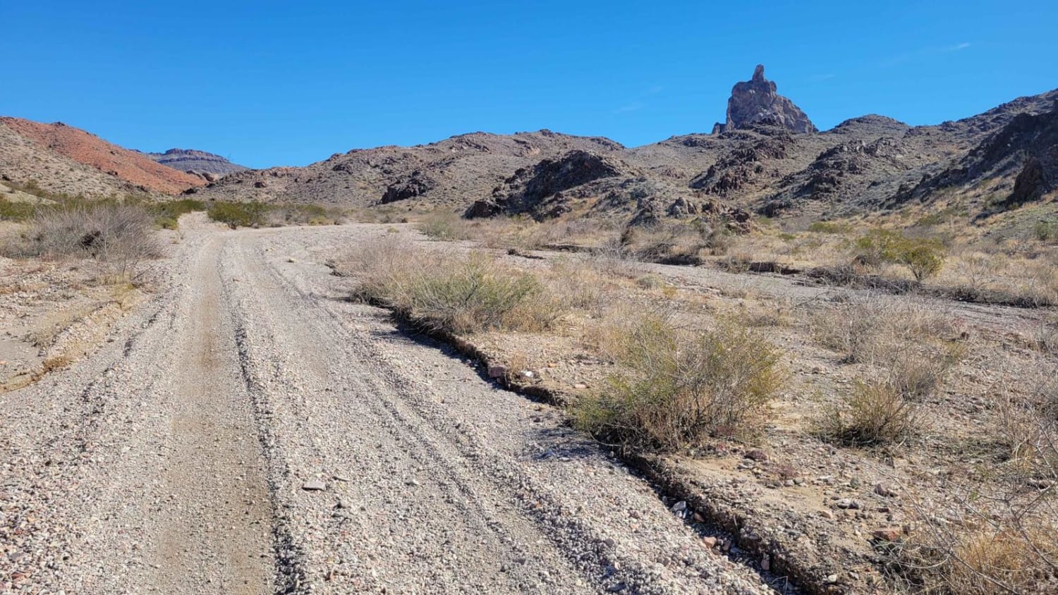
AZ Peace Trail Spur to Davis Camp (East)

AZ Peace Trail Spur to Davis Camp (East)

The sign mentions "4x4 Recommended", which is likely as a "just in case", but isn't required to complete the route. The trail can be in a high-clearance 4x4 in 2WD. Spur to Davis Camp (East)…
Learn more about AZ Peace Trail Spur to Davis Camp (East)
Total Miles
3.2
Tech Rating
5 Moderate
Best Time
Spring, Summer, Fall, Winter
Learn more about AZ Peace Trail Spur to Davis Camp (West)
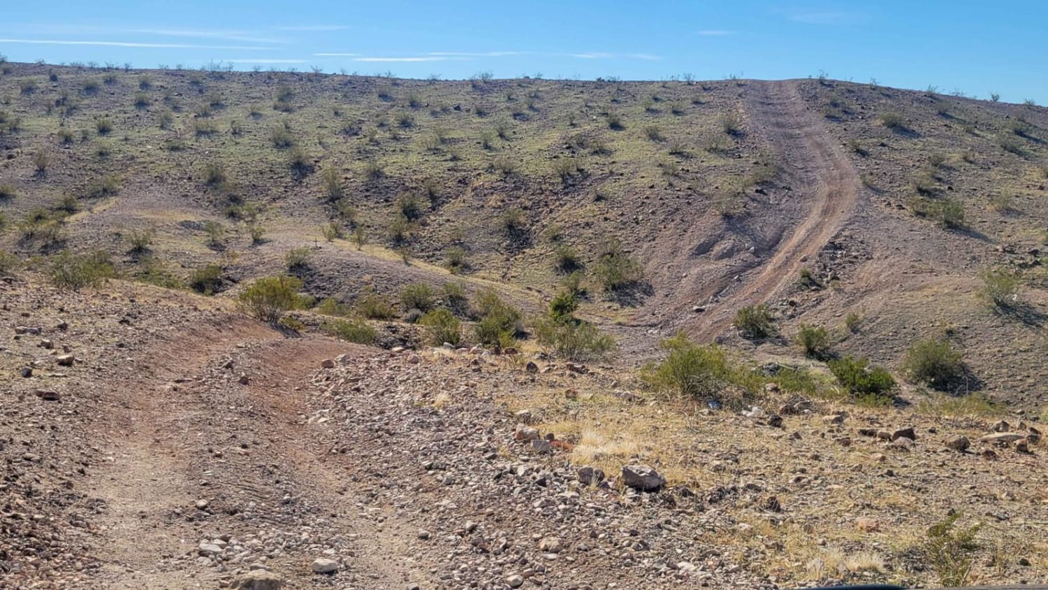
AZ Peace Trail Spur to Davis Camp (West)

AZ Peace Trail Spur to Davis Camp (West)

Spur to Davis Camp (West), also known as Buck Wash Road, is allegedly part of the Arizona Peace Trail system. It begins just east of Bullhead City and there are a dozen trails/options to reach…
Learn more about AZ Peace Trail Spur to Davis Camp (West)
Total Miles
7.2
Tech Rating
3 Easy
Best Time
Spring, Summer, Fall, Winter
Learn more about AZ Peace Trail to Linda Mine and Memorial
AZ Peace Trail to Linda Mine and Memorial

AZ Peace Trail to Linda Mine and Memorial

This trail out to the Linda Mine and Memorial can be run as an out-and-back or it can be connected to other trails at the mine to create a loop. Starting this trail from the…
Learn more about AZ Peace Trail to Linda Mine and Memorial
Total Miles
2.2
Tech Rating
3 Easy
Best Time
Spring, Fall
Learn more about AZ Route 67
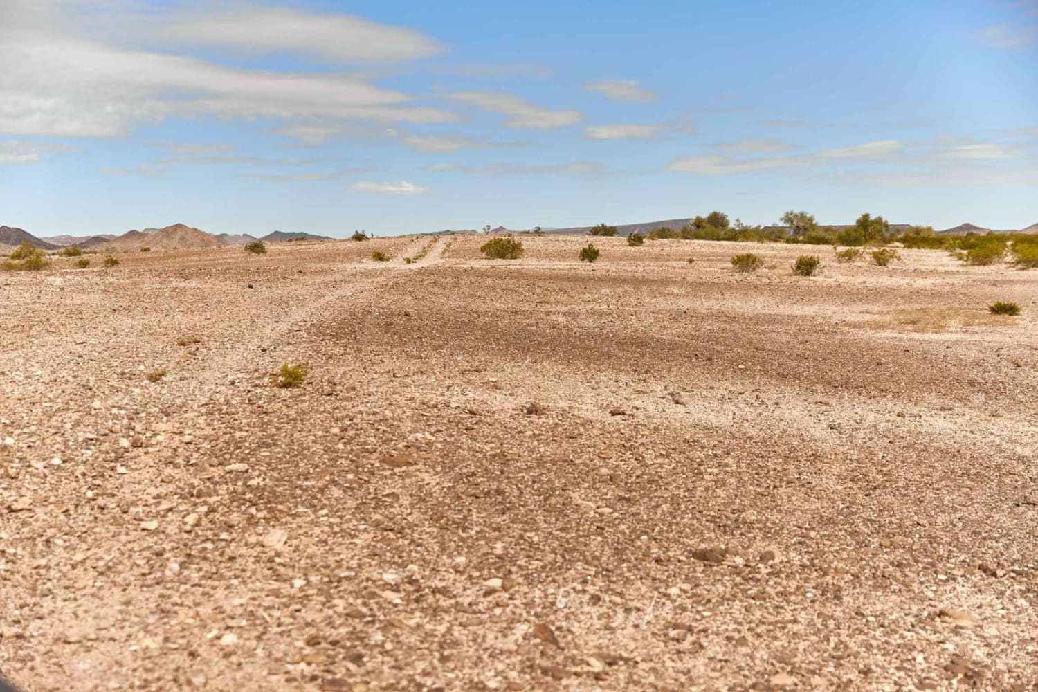
AZ Route 67

AZ Route 67

AZ Route 67 is a rocky two-track that bobs and weaves its way through a section of BLM land near the Palomas Mountains. This trail is relatively simple, though at times finding the trail might…
Learn more about AZ Route 67
Total Miles
7.5
Tech Rating
2 Easy
Best Time
Spring, Summer, Winter
Learn more about AZPT Bullhead to Oatman Bypass Easy
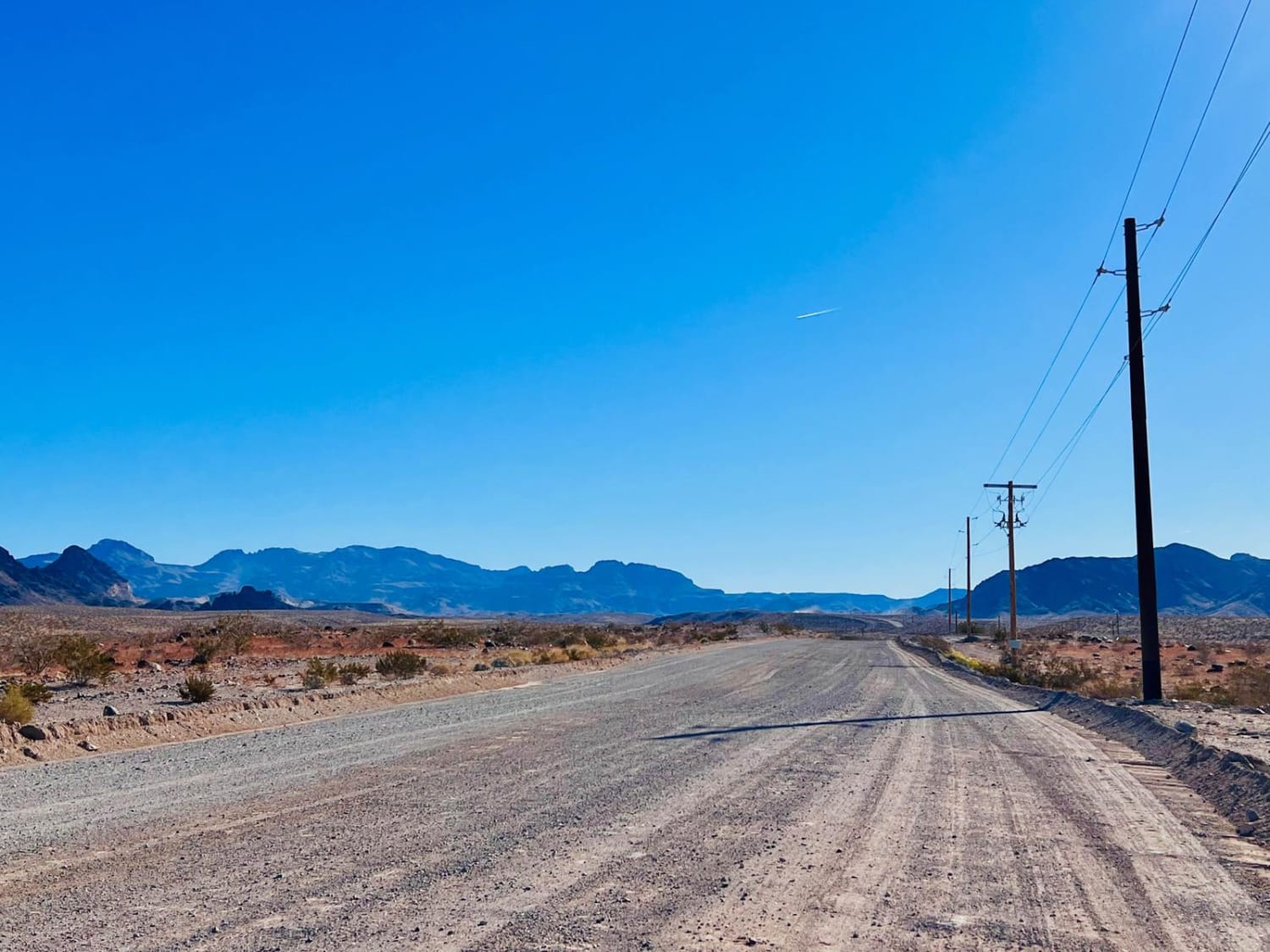
AZPT Bullhead to Oatman Bypass Easy

AZPT Bullhead to Oatman Bypass Easy

This easy, wide, well-maintained dirt trail connects Bullhead City to the historic town of Oatman. The trail is graded regularly and is wide enough for two vehicles to pass. One section goes through a mountain…
Learn more about AZPT Bullhead to Oatman Bypass Easy
Total Miles
8.9
Tech Rating
1 Easy
Best Time
Spring, Fall
Learn more about AZPT Cactus in the Road to Red Raven
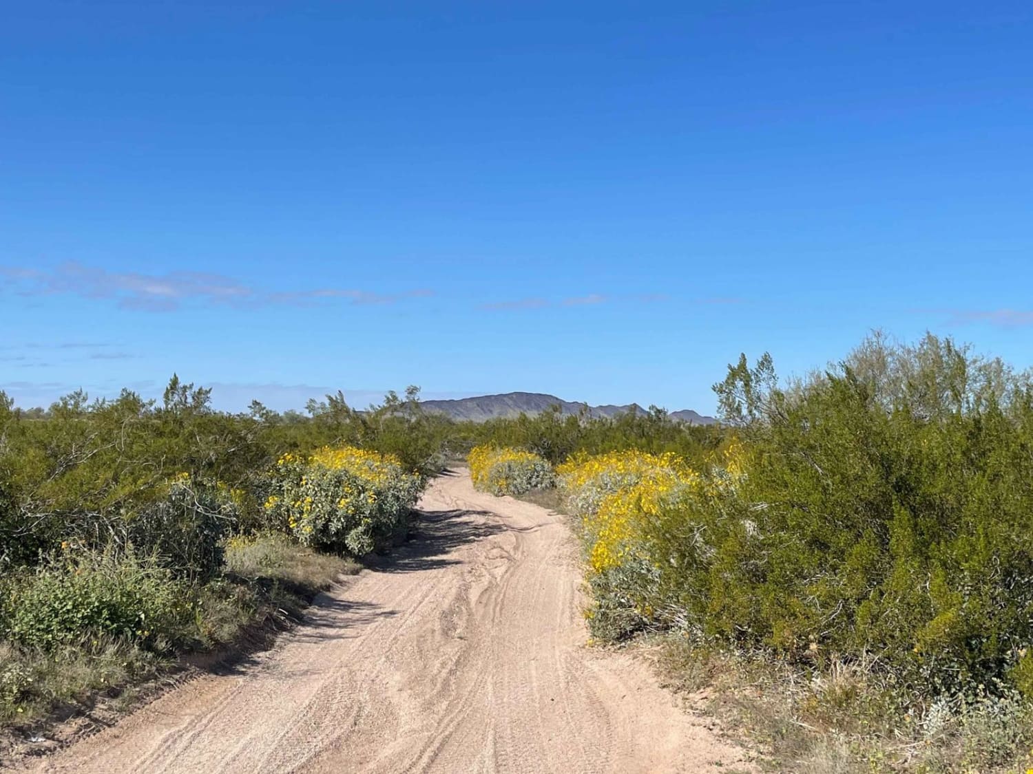
AZPT Cactus in the Road to Red Raven

AZPT Cactus in the Road to Red Raven

This section of the Arizona Peace Trail runs from the quirky Saguaro cactus in the center of the trail down to the Red Raven trail intersection. It's a lovely drive with a few challenging sections…
Learn more about AZPT Cactus in the Road to Red Raven
Total Miles
15.5
Tech Rating
4 Moderate
Best Time
Spring, Winter
Learn more about AZPT Cutover to Tres Amigos Waterfall Trailhead
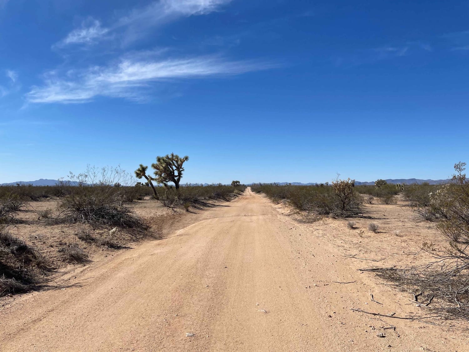
AZPT Cutover to Tres Amigos Waterfall Trailhead

AZPT Cutover to Tres Amigos Waterfall Trailhead

This section of the AZPT cuts from the main road near the Wayside Oasis RV resort toward the Trailhead for the Tres Amigos Waterfall. The trail features some long rhythm sections with steep elevation changes…
Learn more about AZPT Cutover to Tres Amigos Waterfall Trailhead
Total Miles
22.8
Tech Rating
5 Moderate
Best Time
Spring, Fall, Winter
Learn more about AZPT Deep Sand Bypass
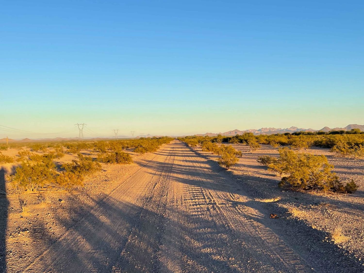
AZPT Deep Sand Bypass

AZPT Deep Sand Bypass

This route is a great option to bypass the very deep sandy section of the Arizona Peace Trail. That section would be challenging with a heavy Moto or aired-up stock vehicle. This bypass also offers…
Learn more about AZPT Deep Sand Bypass
Total Miles
3.4
Tech Rating
3 Easy
Best Time
Spring, Fall, Winter
Learn more about AZPT Hovatter to Vicksburg Road
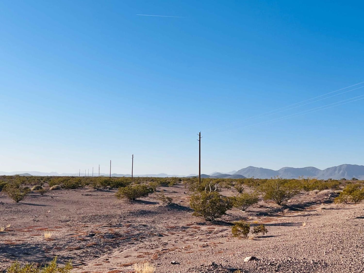
AZPT Hovatter to Vicksburg Road

AZPT Hovatter to Vicksburg Road

This connector trail leads from the Arizona Peace Trail across the desert toward Vicksburg Rd. There are a few options to refuel and restock at the truck stops. The eastern section of the trail is…
Learn more about AZPT Hovatter to Vicksburg Road
Total Miles
7.3
Tech Rating
3 Easy
Best Time
Winter, Fall, Spring
1 ... 7 8 9 10 11 12 13 14 15 16 ... 93

The onX Offroad Difference

onX Offroad combines trail photos, descriptions, difficulty ratings, width restrictions, seasonality, and more in a user-friendly interface. Available on all devices, with offline access and full compatibility with CarPlay and Android Auto. Discover what you’re missing today!