Off-Road Trails in Michigan

Discover off-road trails in Michigan

Learn more about Conners Hole/Log Jam
Conners Hole/Log Jam

Conners Hole/Log Jam

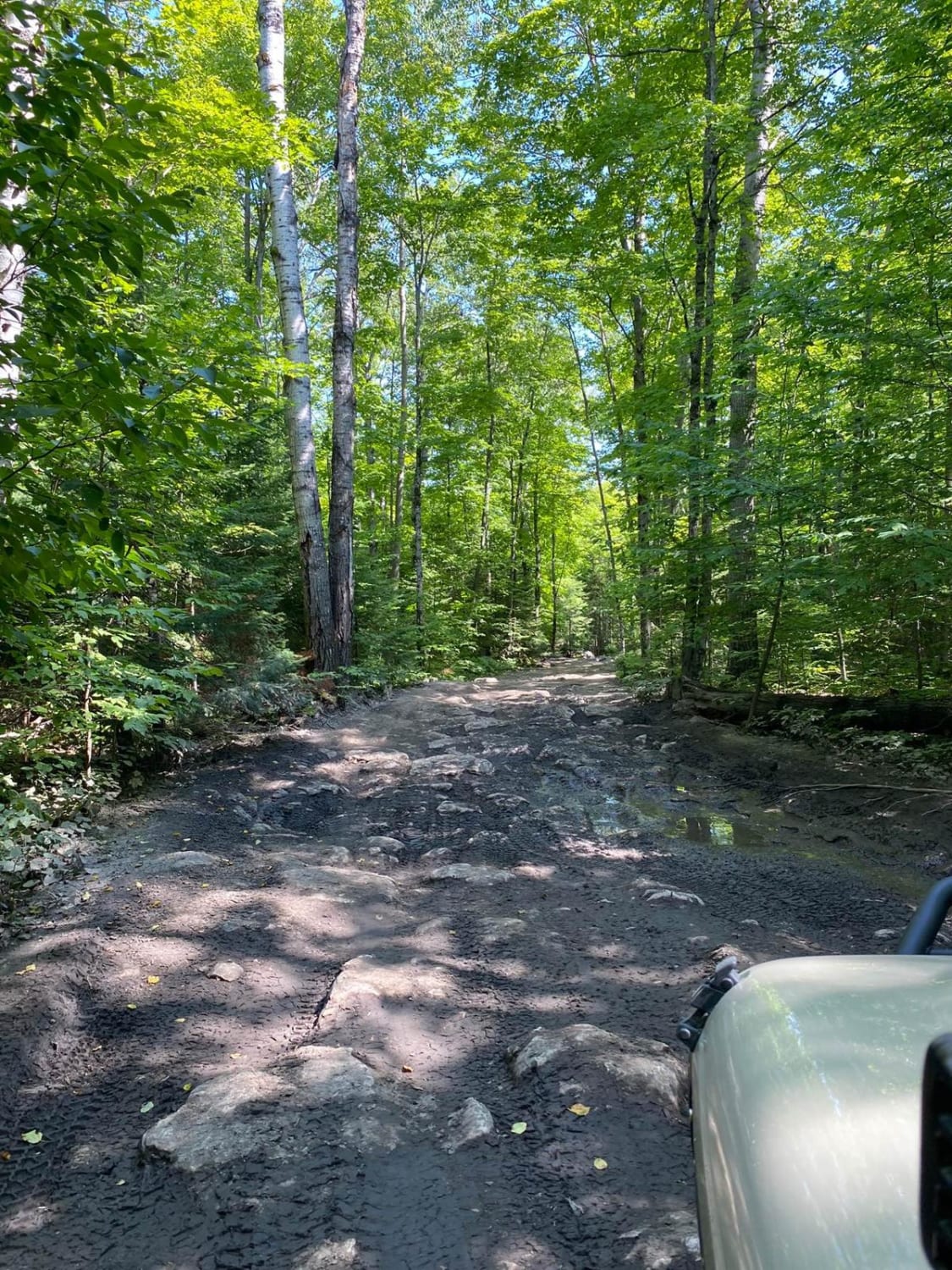
This trail is one of Drummond Island's iconic trails. It is not too difficult to go to rock bottom but don't be fooled the water can be deep after a long winter. Proceed with caution…
Learn more about Conners Hole/Log Jam
Total Miles
2.5
Tech Rating
4 Moderate
Best Time
Summer
Learn more about Copper Falls Mill Trail
Copper Falls Mill Trail

Copper Falls Mill Trail

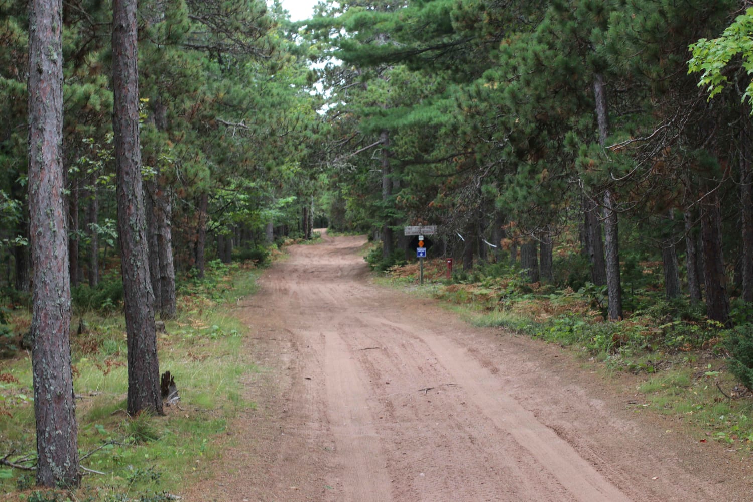
This two-track trail starts off easy but turns rocky and mildly steep as it goes on. If you can find it, there is an old Copper mine entrance where Owl Creek flows out of the…
Learn more about Copper Falls Mill Trail
Total Miles
2.1
Tech Rating
4 Moderate
Best Time
Spring, Summer, Fall
Learn more about Copper Harbor Soft Road Look Out
Copper Harbor Soft Road Look Out

Copper Harbor Soft Road Look Out

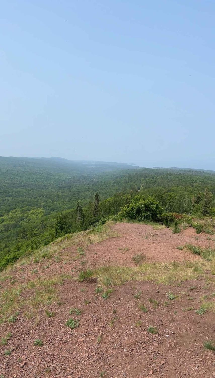
Calling this a trail is maybe a stretch but hear me out... this is a minimally maintained "paved" (broken pavement) road that appears to be snowmobile only basically in the winter. There are areas for…
Learn more about Copper Harbor Soft Road Look Out
Total Miles
8.9
Tech Rating
1 Easy
Best Time
Summer, Spring, Fall
Learn more about County Line and 60th
County Line and 60th

County Line and 60th

This is a continuation of County Line Road that turns to 60th Avenue, a single-lane seasonal road. This short trail is a fun side path for those looking for some quick mud. This seasonal road…
Learn more about County Line and 60th
Total Miles
1.8
Tech Rating
2 Easy
Best Time
Spring, Summer, Fall, Winter
Learn more about County Line Road
County Line Road

County Line Road

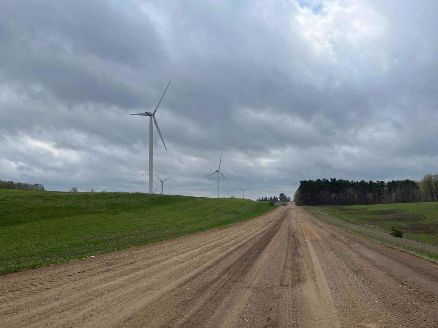
This trail begins on a standard dirt road with great views of the windmills and farm fields. The elevation lowers as you approach the entrance to the seasonal road, where you will enter a thick…
Learn more about County Line Road
Total Miles
4.4
Tech Rating
2 Easy
Best Time
Spring, Fall, Summer
Learn more about County Ridge Trail
County Ridge Trail

County Ridge Trail

County Ridge Trail is a fun offroad trail that crosses over from Grand Traverse County into Wexford County. The trail starting from the north drops in elevation along a ridgeline and finishes with sweeping views…
Learn more about County Ridge Trail
Total Miles
1.1
Tech Rating
2 Easy
Best Time
Spring, Summer, Fall, Winter
Learn more about Covered Drive
Covered Drive

Covered Drive

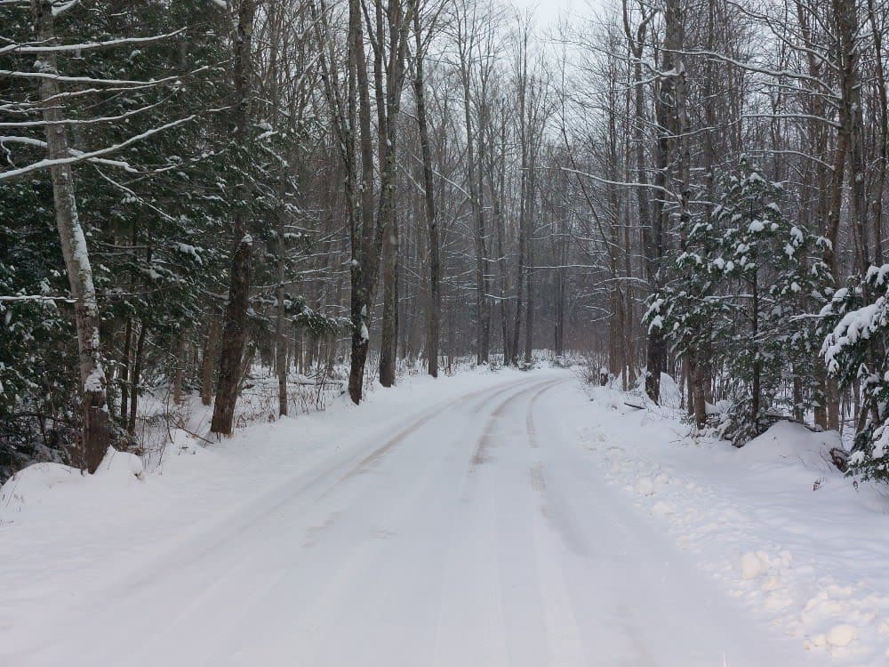
This is a shortcut road that is more than a shortcut. If you are looking for an iconic photo road, this is it! During the fall color season, you will find a lot of traffic…
Learn more about Covered Drive
Total Miles
3.0
Tech Rating
1 Easy
Best Time
Spring, Summer, Fall, Winter
Learn more about CR 412 Crisp Point Road
CR 412 Crisp Point Road

CR 412 Crisp Point Road

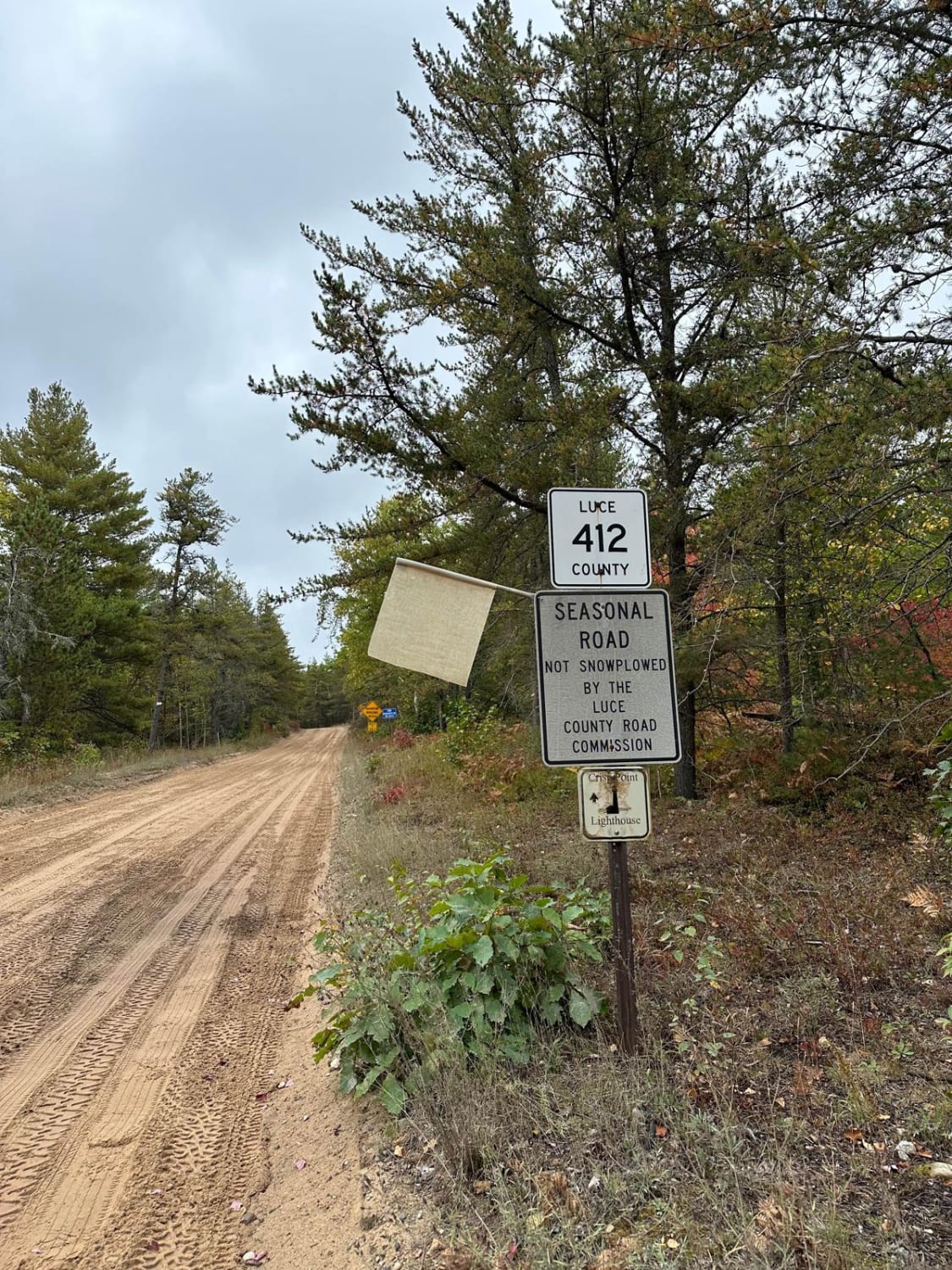
CR 412 Crisp Point Road is the last stretch to Crisp Point Lighthouse. This section is a seasonal road that has washboard bumps with a sand-dirt combination. During spring thaw and after heavy rain, this…
Learn more about CR 412 Crisp Point Road
Total Miles
6.8
Tech Rating
2 Easy
Best Time
Spring, Summer, Fall
Learn more about CR 414
CR 414

CR 414

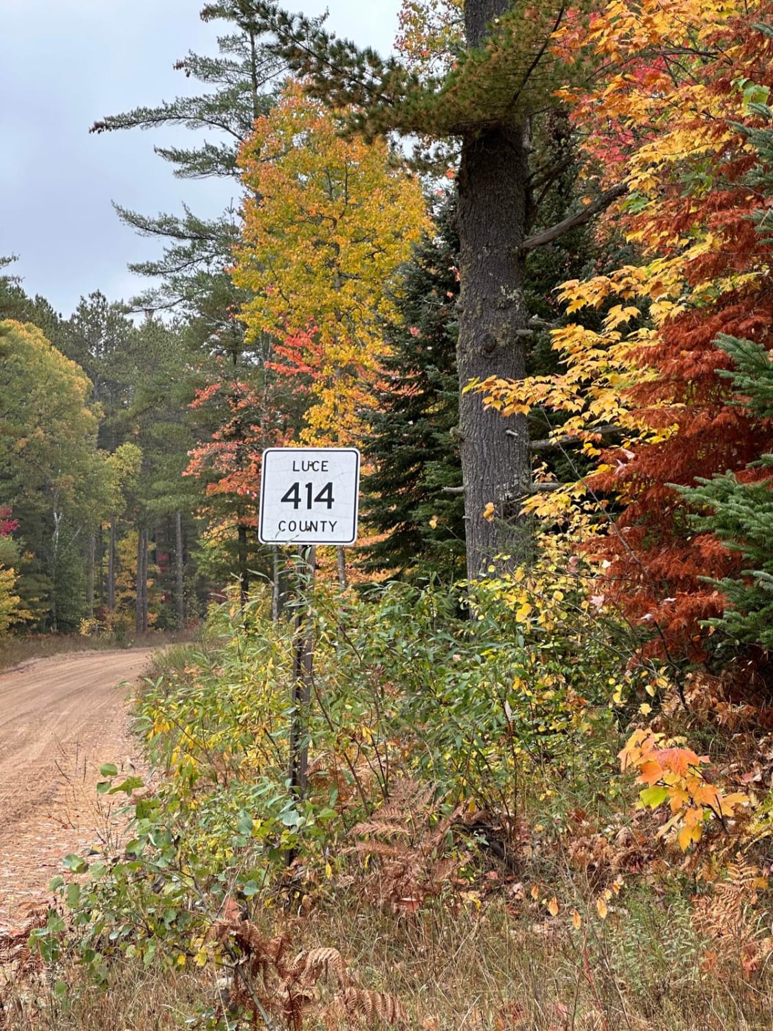
CR 414 is another section of dirt road that will lead you to Crisp Point Lighthouse. You have options of camping in the area at the Mouth of Two Hearted River State Campground with a…
Learn more about CR 414
Total Miles
14.0
Tech Rating
2 Easy
Best Time
Spring, Summer, Fall
Learn more about CR 489 to Avery Lake
CR 489 to Avery Lake

CR 489 to Avery Lake

This is a nice easy trail that winds through the woods. Most of the trail base is sandy, but there are some grassy, rocky, and muddy sections. Near CR 489, there has been some logging…
Learn more about CR 489 to Avery Lake
Total Miles
2.6
Tech Rating
2 Easy
Best Time
Summer
Learn more about CR 578 UP7 Cutover
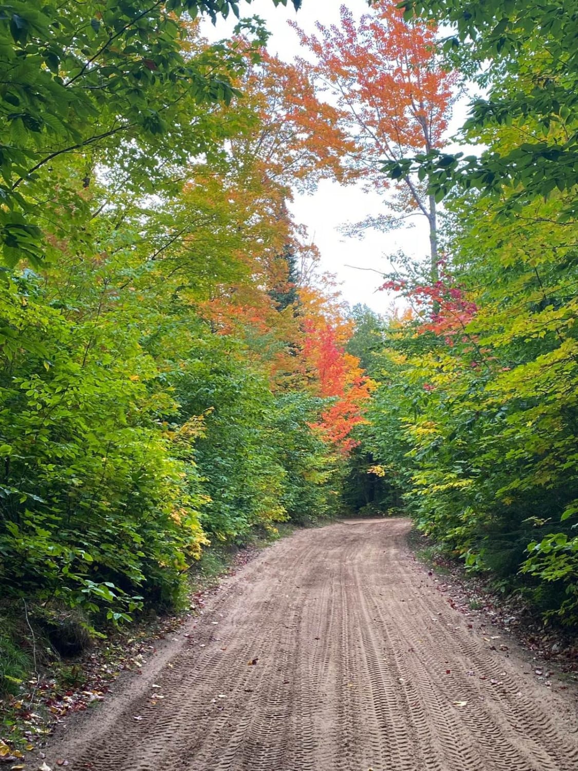
CR 578 UP7 Cutover

CR 578 UP7 Cutover

The CR 578/UP7 Cutover brings Ridge Road Trail Loop with Candy Cane Lane - Trail 419 and Munising Loop all together. It's a short run but it ties the trails together. The Upper Peninsula of…
Learn more about CR 578 UP7 Cutover
Total Miles
2.1
Tech Rating
1 Easy
Best Time
Fall
Learn more about CR501
CR501

CR501

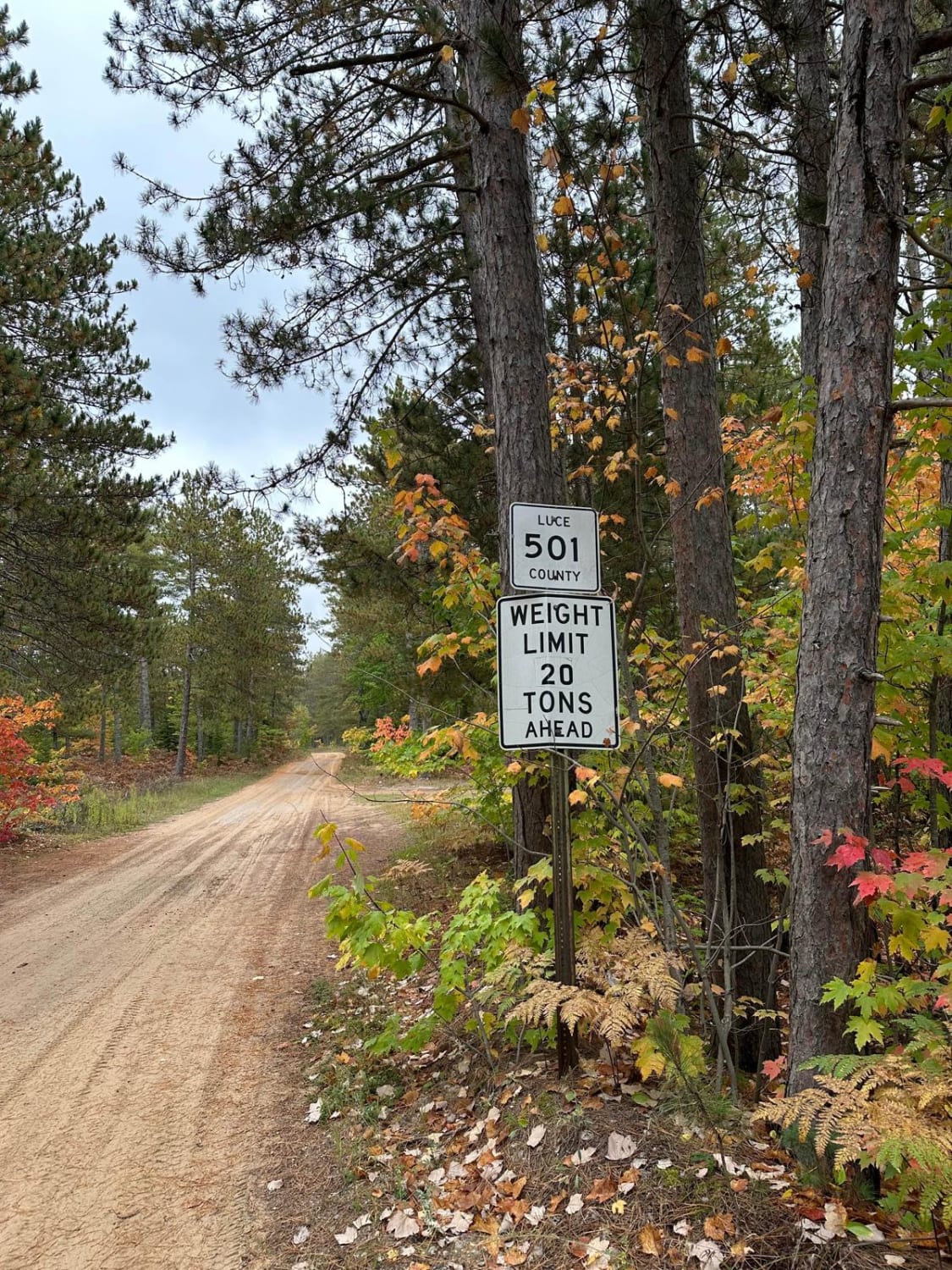
CR501 is another section of dirt road that will lead you to Crisp Point Lighthouse. The road can be challenging during spring thaw and heavy rain. You will come across a single-lane bridge over a…
Learn more about CR501
Total Miles
5.3
Tech Rating
2 Easy
Best Time
Spring, Summer, Fall
Learn more about Crapo Creek Trail
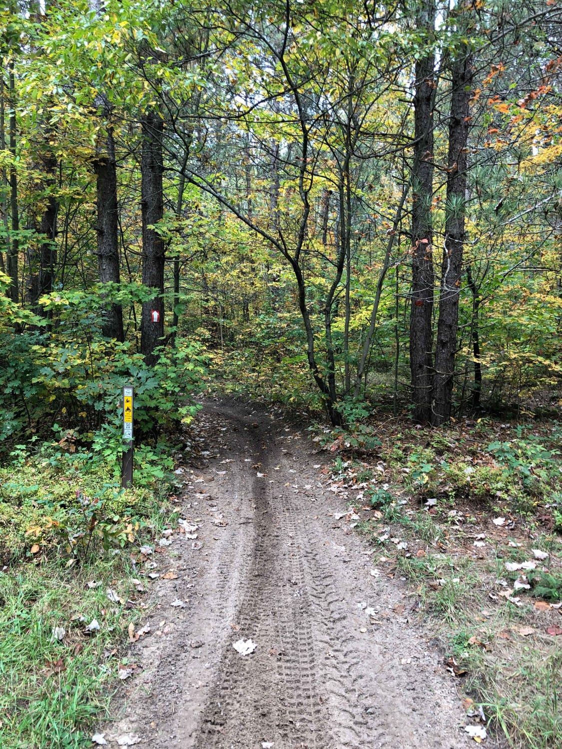
Crapo Creek Trail

Crapo Creek Trail

Crapo Creek Trail (Pronounced Crap-oh) is a fifty-inch trail designed to be ridded by dirt bikes and quads. The general make up of this trail is black dirt with some sandy spots in fresh timber…
Learn more about Crapo Creek Trail
Total Miles
17.3
Tech Rating
3 Easy
Best Time
Spring, Summer, Fall
Learn more about Croton To White Cloud
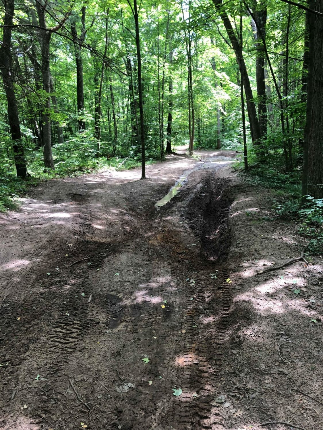
Croton To White Cloud

Croton To White Cloud

Croton to White Cloud offers a "back roads" option for traveling. This section of trail is primarily forest & seasonal roads. Although it is possible for a 2WD vehicle to travel this route be aware…
Learn more about Croton To White Cloud
Total Miles
13.8
Tech Rating
3 Easy
Best Time
Spring, Summer, Fall
Learn more about Cuttin Lake Road
Cuttin Lake Road

Cuttin Lake Road

This trail runs north and south between Heath and Tower Roads. The southern portion of the trail is roughly 4 vehicles wide and runs along an underground natural gas pipeline. This south section has washboarding…
Learn more about Cuttin Lake Road
Total Miles
4.4
Tech Rating
2 Easy
Best Time
Spring, Fall, Summer
Learn more about D Springs Trail (132nd Avenue)
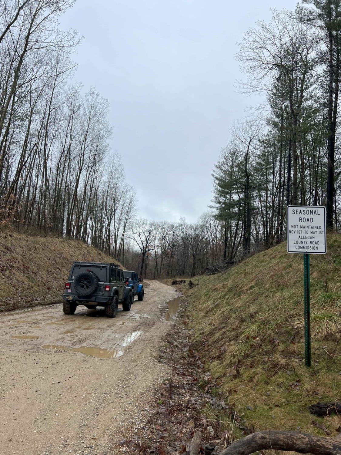
D Springs Trail (132nd Avenue)

D Springs Trail (132nd Avenue)

D Springs Trail (132nd Avenue) is an easy, fun off-road trail. Located near Diamond Springs Golf Course or Lincoln Road, this route is easily accessible. It has nothing technical. Most of the trail is a…
Learn more about D Springs Trail (132nd Avenue)
Total Miles
3.5
Tech Rating
5 Moderate
Best Time
Spring, Summer, Fall
Learn more about Dalson Road between Brunswick and Raymond Roads
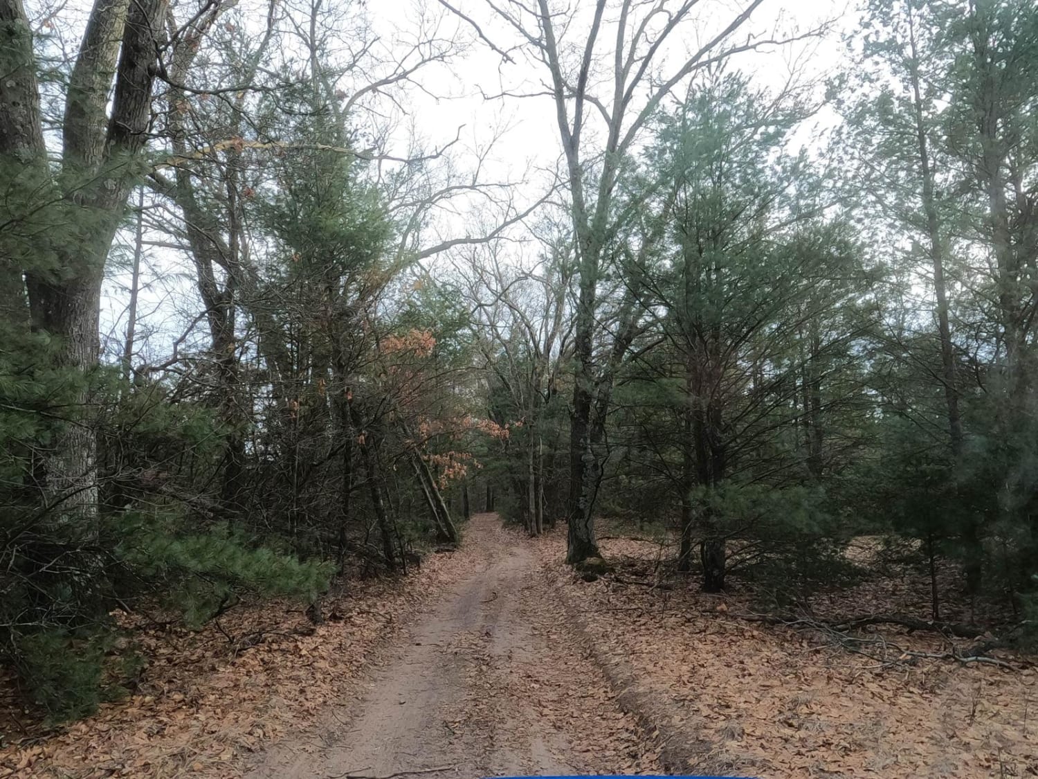
Dalson Road between Brunswick and Raymond Roads

Dalson Road between Brunswick and Raymond Roads

This section of Dalson Road is unimproved and cuts through the forest between Raymond and Brunswick Roads. Near the middle of the trail, the road goes around a large marshy area. The trail is easy…
Learn more about Dalson Road between Brunswick and Raymond Roads
Total Miles
1.0
Tech Rating
2 Easy
Best Time
Spring, Summer, Fall, Winter
Learn more about Danaher Plains Trail
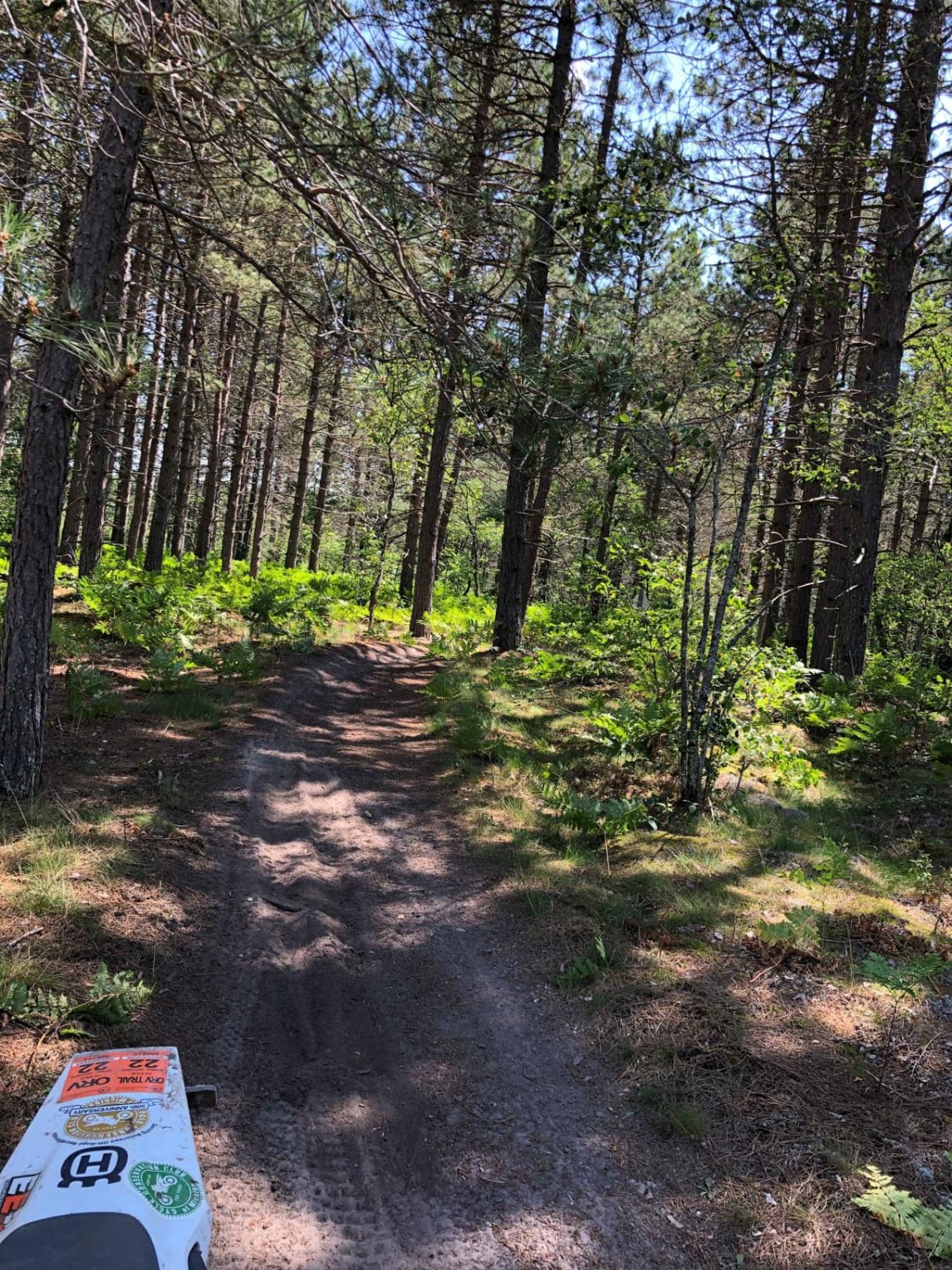
Danaher Plains Trail

Danaher Plains Trail

Danaher Plains is a 50-Inch ORV trail that is located East of Newberry in the Upper Peninsula of Michigan. This trail is smooth, fast, and easy to follow. Due to lack of traffic, there are…
Learn more about Danaher Plains Trail
Total Miles
27.7
Tech Rating
3 Easy
Best Time
Spring, Summer, Fall
Learn more about Darlene's Ridge
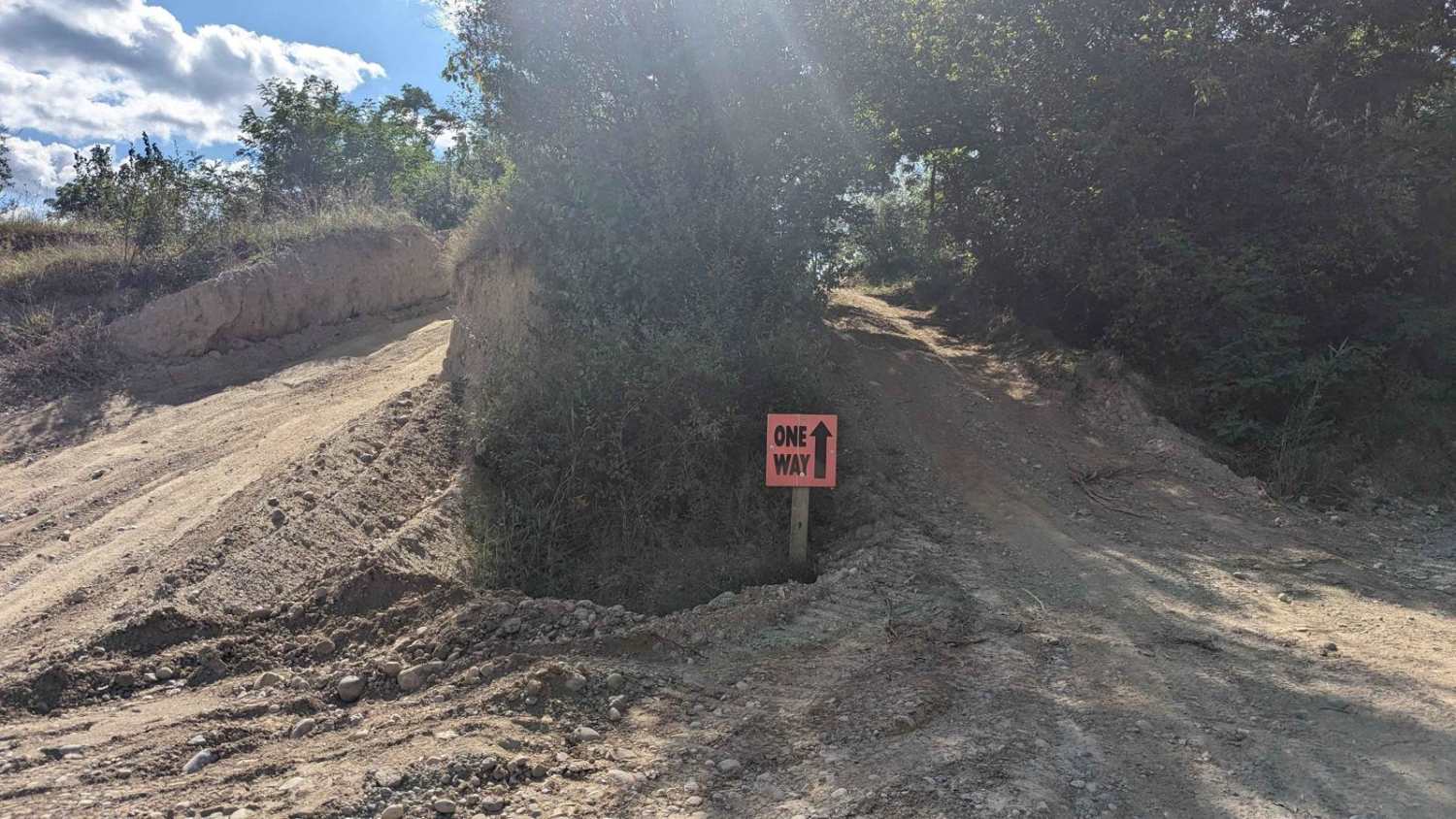
Darlene's Ridge

Darlene's Ridge

There are three entrances to this short trail off of Skyline Drive. It is directional. There are some small rocks along the trail but nothing a stock vehicle can't handle. This route is a good…
Learn more about Darlene's Ridge
Total Miles
0.1
Tech Rating
1 Easy
Best Time
Winter, Fall, Summer, Spring
Learn more about Davis Road
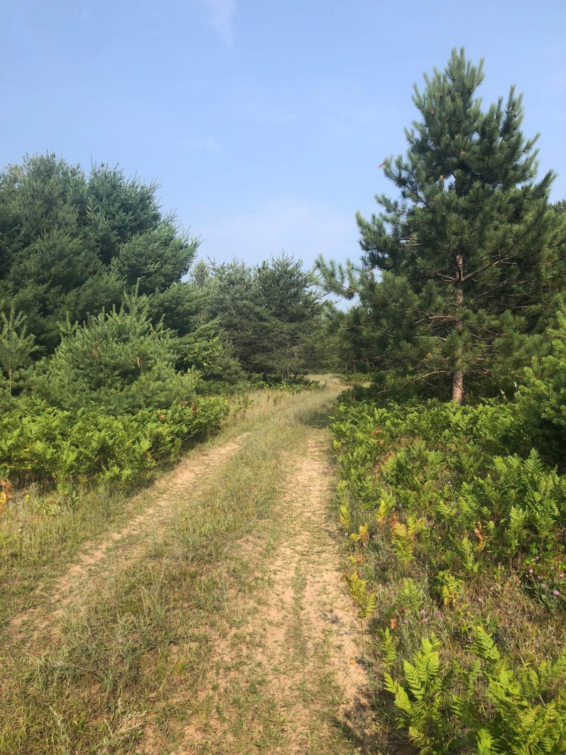
Davis Road

Davis Road

Davis Road starts out as a narrow single-lane two-track. The trail is mostly sand/dirt washouts and rutted, thick with brush. The trail brings you back to 700 Road and is managed by the Traverse City…
Learn more about Davis Road
Total Miles
2.9
Tech Rating
2 Easy
Best Time
Spring, Summer, Fall
1 ... 3 4 5 6 7 8 9 10 11 12 ... 41

The onX Offroad Difference

onX Offroad combines trail photos, descriptions, difficulty ratings, width restrictions, seasonality, and more in a user-friendly interface. Available on all devices, with offline access and full compatibility with CarPlay and Android Auto. Discover what you’re missing today!