Off-Road Trails in Oregon

Discover off-road trails in Oregon

Learn more about Bachelor Butte
Bachelor Butte

Bachelor Butte

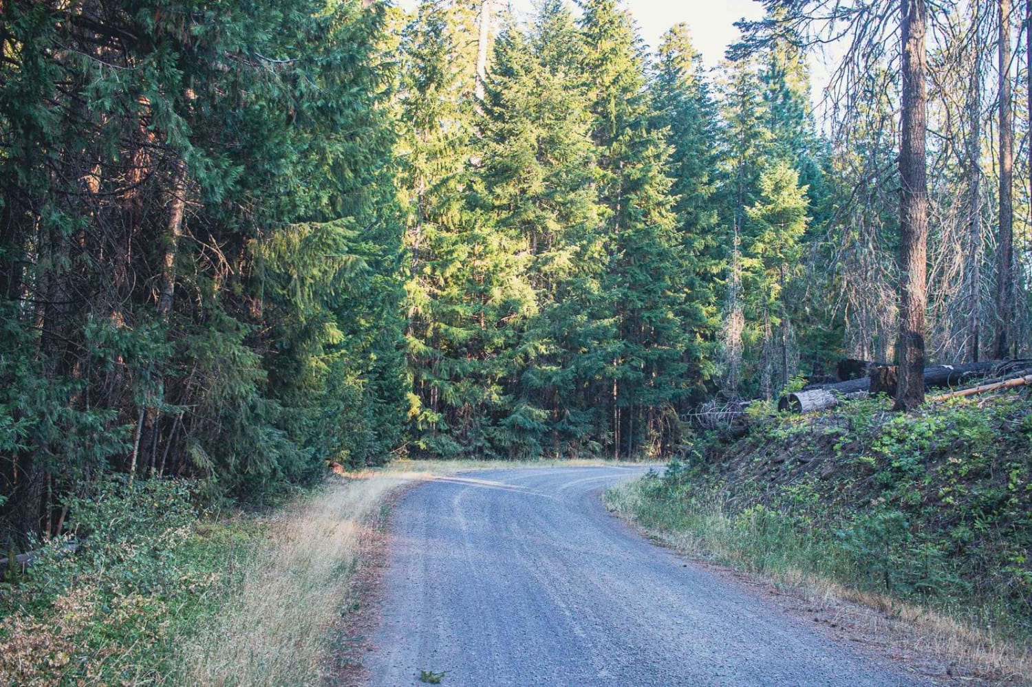
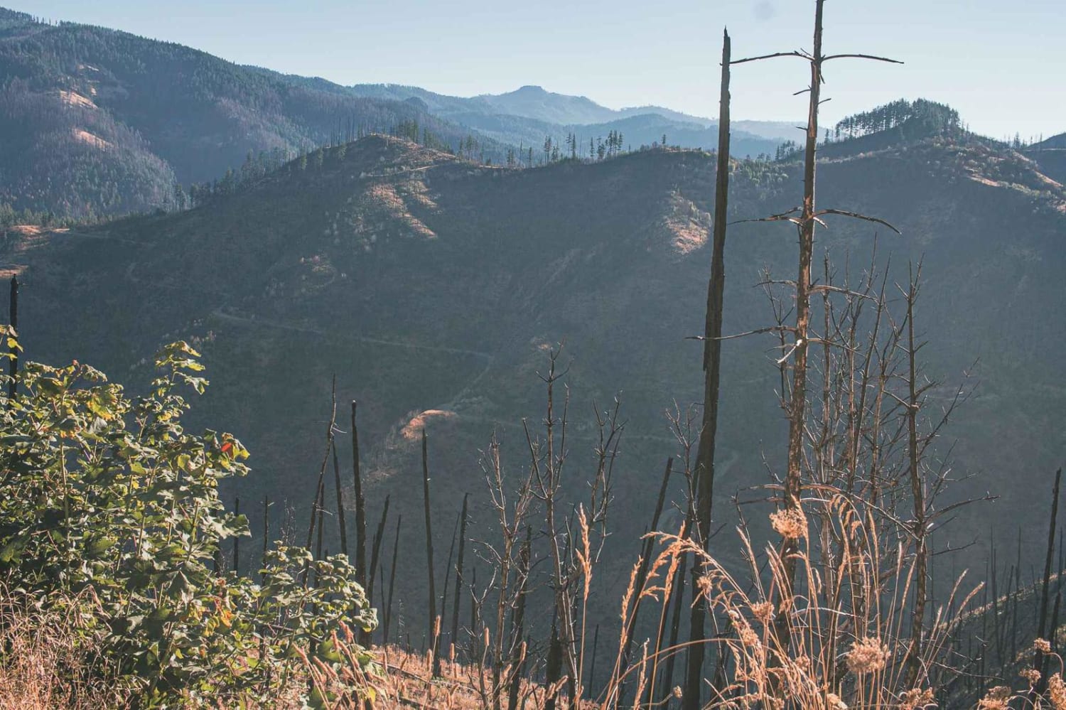
Bachelor Butte road runs through the Umpqua National Forest. It is an easy gravel road that can be steep and curvy in sections. This road is not short of views, you will be entertained by…
Learn more about Bachelor Butte
Total Miles
10.2
Tech Rating
1 Easy
Best Time
Spring, Summer, Fall
Learn more about Back Way to the Lost Forest
Back Way to the Lost Forest

Back Way to the Lost Forest

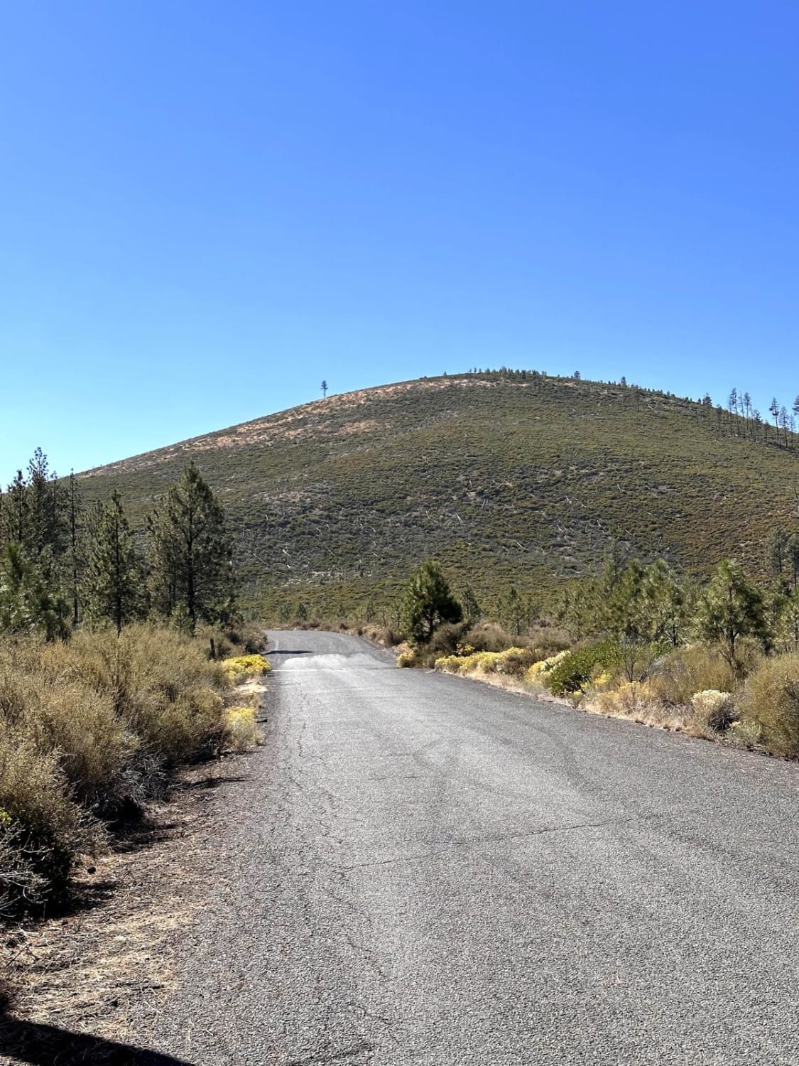
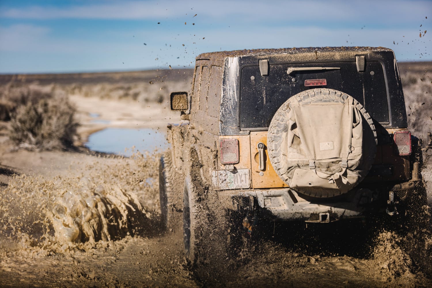
Headed north off the Christmas Valley Highway to explore. The road goes through some very deep and muddy puddles, through sagebrush, and eventually the East border of the Christmas Valley Sand Dunes. There are many…
Learn more about Back Way to the Lost Forest
Total Miles
24.1
Tech Rating
3 Easy
Best Time
Summer, Spring, Fall, Winter
Learn more about Backroads to Swiftwater to Peel Oregon
Backroads to Swiftwater to Peel Oregon

Backroads to Swiftwater to Peel Oregon

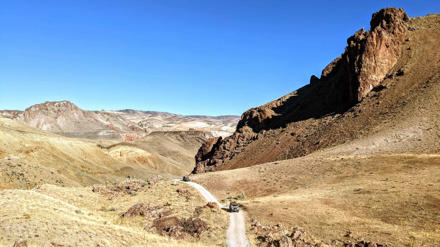
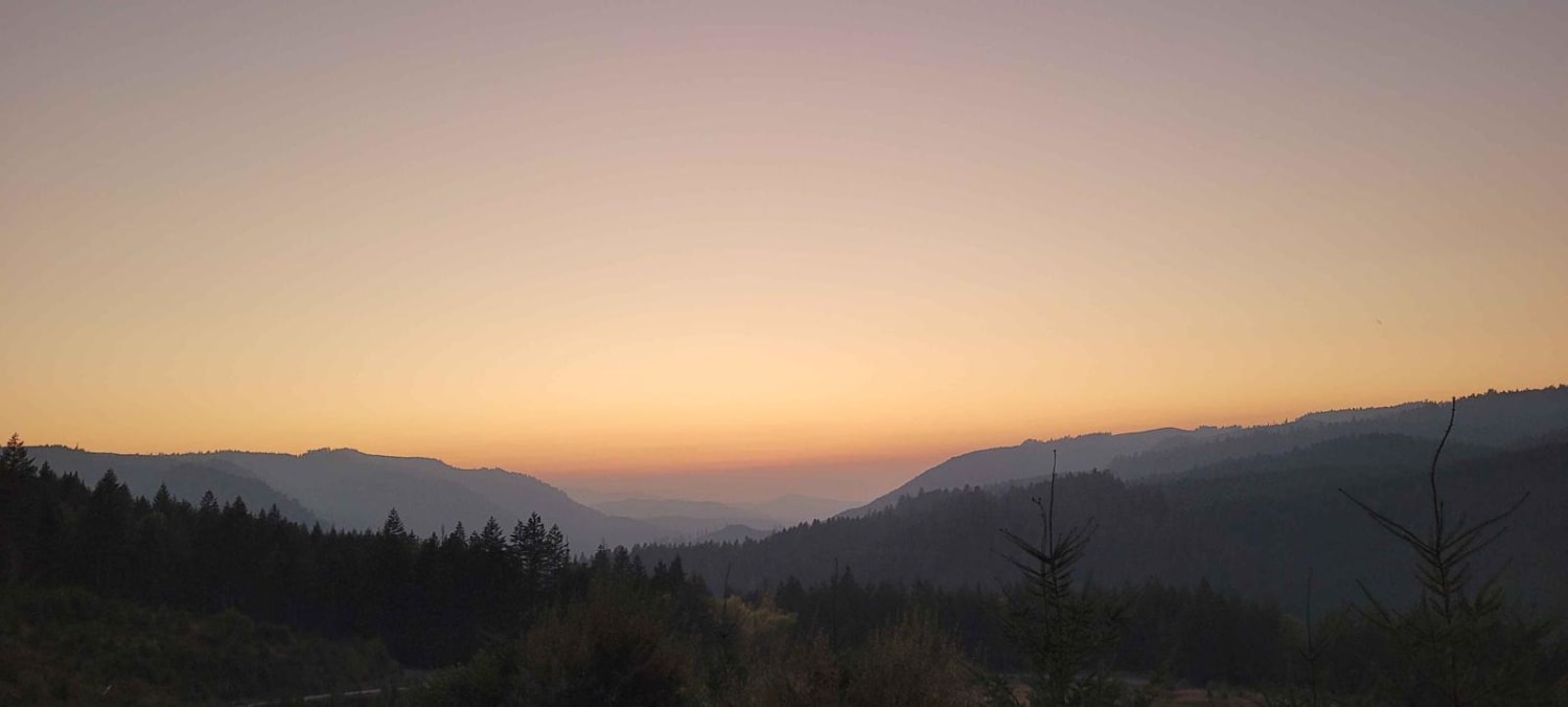
Great viewing points of the N. Umpqua River and the area of Thunder Mountain. There are lots of opportunities for mudding and enjoying a nice day on the mountain. It is a great trail for…
Learn more about Backroads to Swiftwater to Peel Oregon
Total Miles
18.5
Tech Rating
2 Easy
Best Time
Spring, Summer, Fall, Winter
Learn more about Bacona-Pisgah Home Road
Bacona-Pisgah Home Road

Bacona-Pisgah Home Road

Along this road, you will see a mixed bag of conifer and hardwood. The trail is open year-round and offers the chance to see wildlife in the area. During the winter months expect deep snow.…
Learn more about Bacona-Pisgah Home Road
Total Miles
2.2
Tech Rating
2 Easy
Best Time
Spring, Summer, Fall, Winter
Learn more about Badger Lake Via Bennett Pass
Badger Lake Via Bennett Pass

Badger Lake Via Bennett Pass

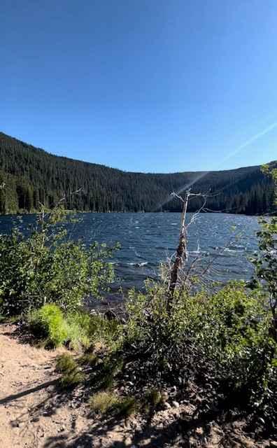
This route will lead you from Bennett Pass down into Badger Lake. After leaving Bennett Pass Road, you will be heading down a fairly steep grade on Forest Road 140. The road is a single…
Learn more about Badger Lake Via Bennett Pass
Total Miles
6.9
Tech Rating
4 Moderate
Best Time
Summer, Fall
Learn more about Bald Butte Lookout
Bald Butte Lookout

Bald Butte Lookout

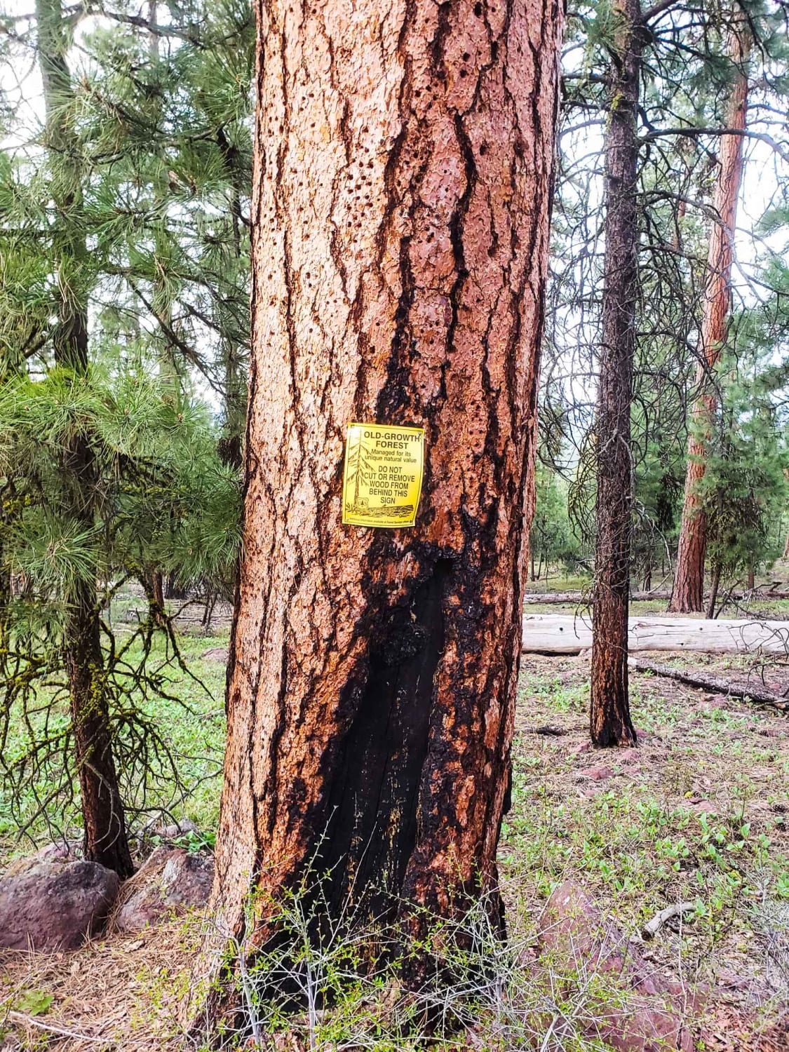
This trail is easy and short. It is the closest and most easily accessible fire lookout from the town of Burns. The trail is dirt, with no difficult obstacles beyond some very deep ruts and…
Learn more about Bald Butte Lookout
Total Miles
0.7
Tech Rating
2 Easy
Best Time
Fall, Summer, Spring
Learn more about Bald Mountain
Bald Mountain

Bald Mountain

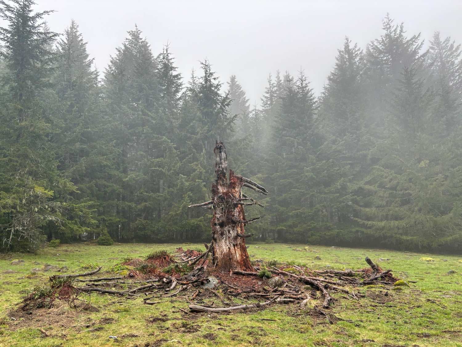
Start just west of McGuire Reservoir, turn left into an opening, and look for a bridge. This is a 6.7-mile route. Be aware that it crosses through Weyerhaeuser land with gates. The gates may be…
Learn more about Bald Mountain
Total Miles
6.6
Tech Rating
2 Easy
Best Time
Summer, Fall
Learn more about Barnhardy Rd
Barnhardy Rd

Barnhardy Rd

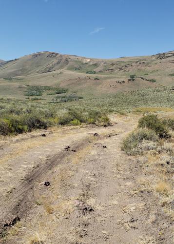
Barnhardy Road is usually open August thru December. The road runs between Hot Springs Campground and Guano Campground. It is mostly a nice two-track, but there are some rutted and rocky sections. You will also…
Learn more about Barnhardy Rd
Total Miles
6.7
Tech Rating
4 Moderate
Best Time
Summer, Fall
Learn more about Barr Road Cut through
Barr Road Cut through

Barr Road Cut through

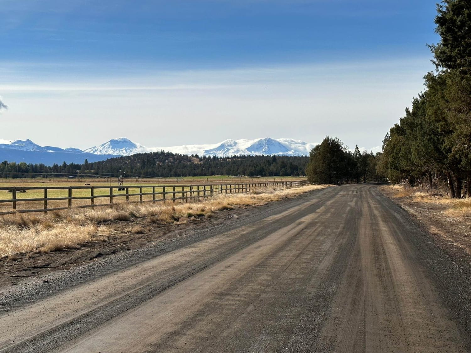
A rad way to get from Tumalo to the Cline Butte Trail System. This is an unmaintained road that is the fun route between Tumalo and Sisters or Redmond. Generally plenty of friendly people along…
Learn more about Barr Road Cut through
Total Miles
6.7
Tech Rating
1 Easy
Best Time
Fall, Summer, Spring, Winter
Learn more about Bear Creek Road (Painted Hills Trail)
Bear Creek Road (Painted Hills Trail)

Bear Creek Road (Painted Hills Trail)

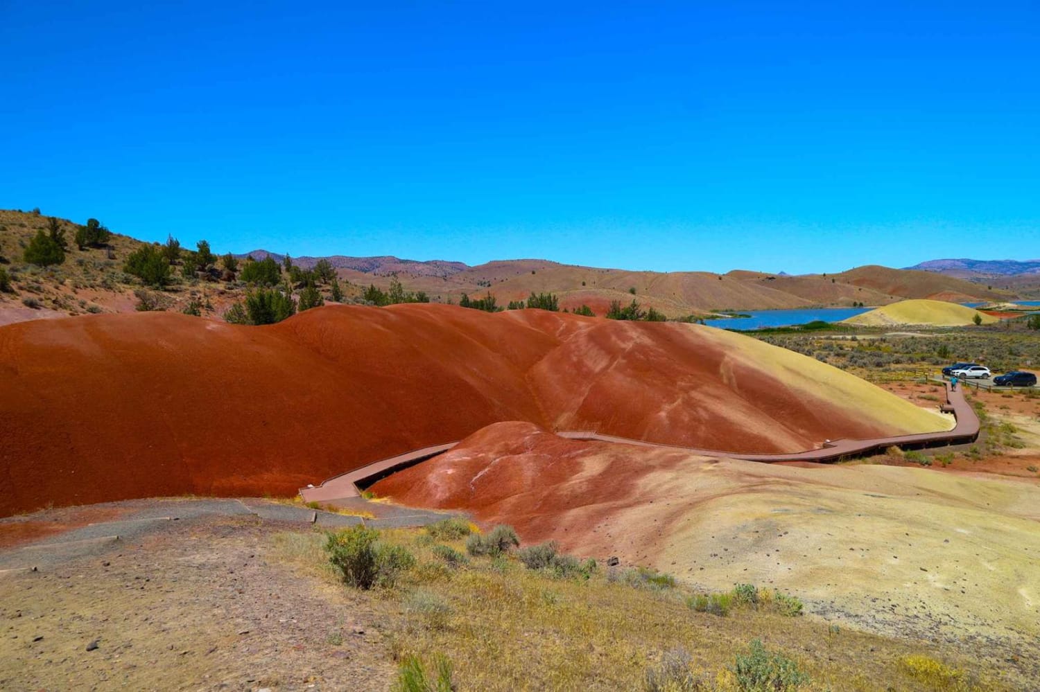
This maintained gravel road will take you through part of the John Day Fossil Beds and Painted Hills National Monument. You can access the Painted Hills Overlook from this trail, which has several hiking trails…
Learn more about Bear Creek Road (Painted Hills Trail)
Total Miles
1.0
Tech Rating
1 Easy
Best Time
Spring, Summer, Fall
Learn more about Bear Pass 1509
Bear Pass 1509

Bear Pass 1509

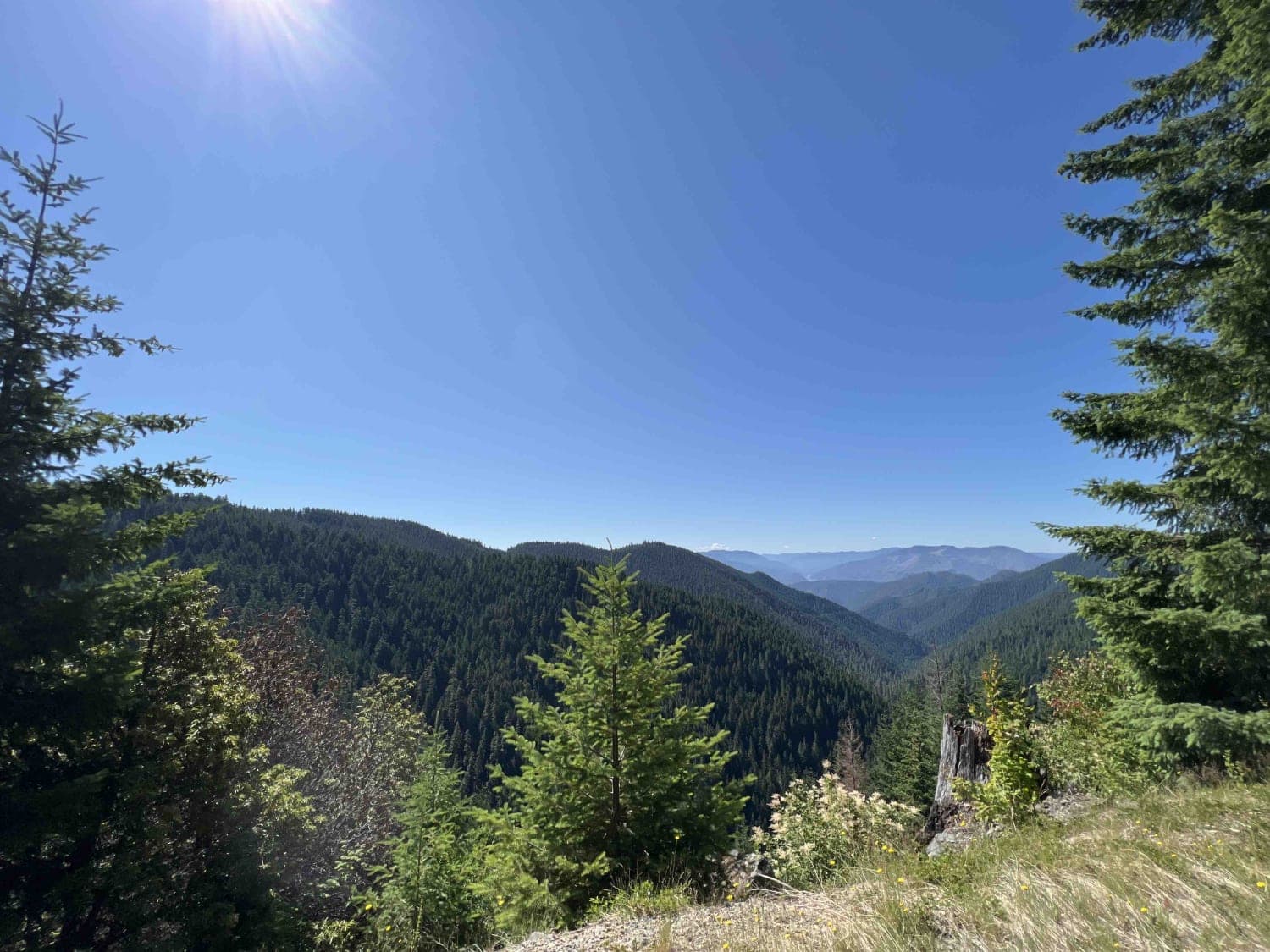
Bear Pass was most likely named for the black bears that inhabit this area. Bears have been spotted along this route, so take precautions when entering. Bear Pass is located in the 1.6-million-acre Willamette National…
Learn more about Bear Pass 1509
Total Miles
26.2
Tech Rating
1 Moderate
Best Time
Spring, Summer, Fall
Learn more about Bearwallow Butte
Bearwallow Butte

Bearwallow Butte

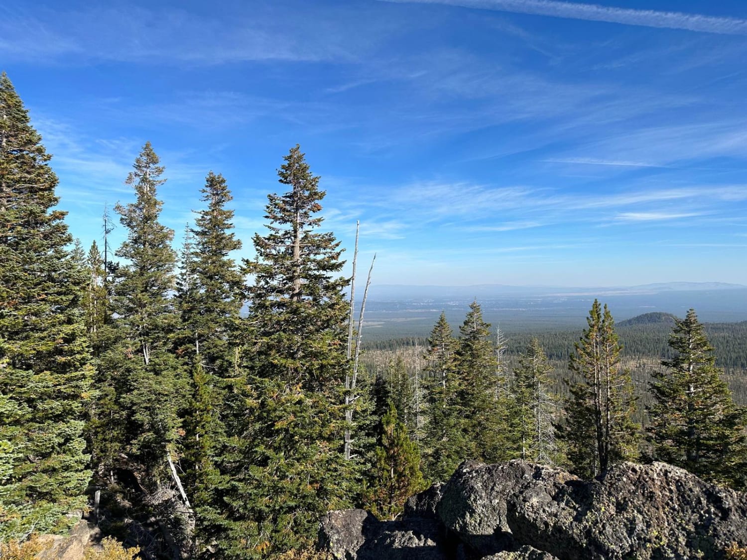
This is a fun trail up to a radio tower. Just above the tower, there is a large rock ledge that offers a cool view of the City of Bend below. There is an access…
Learn more about Bearwallow Butte
Total Miles
3.9
Tech Rating
2 Easy
Best Time
Spring, Summer, Fall
Learn more about Bell Camp Road
Bell Camp Road

Bell Camp Road

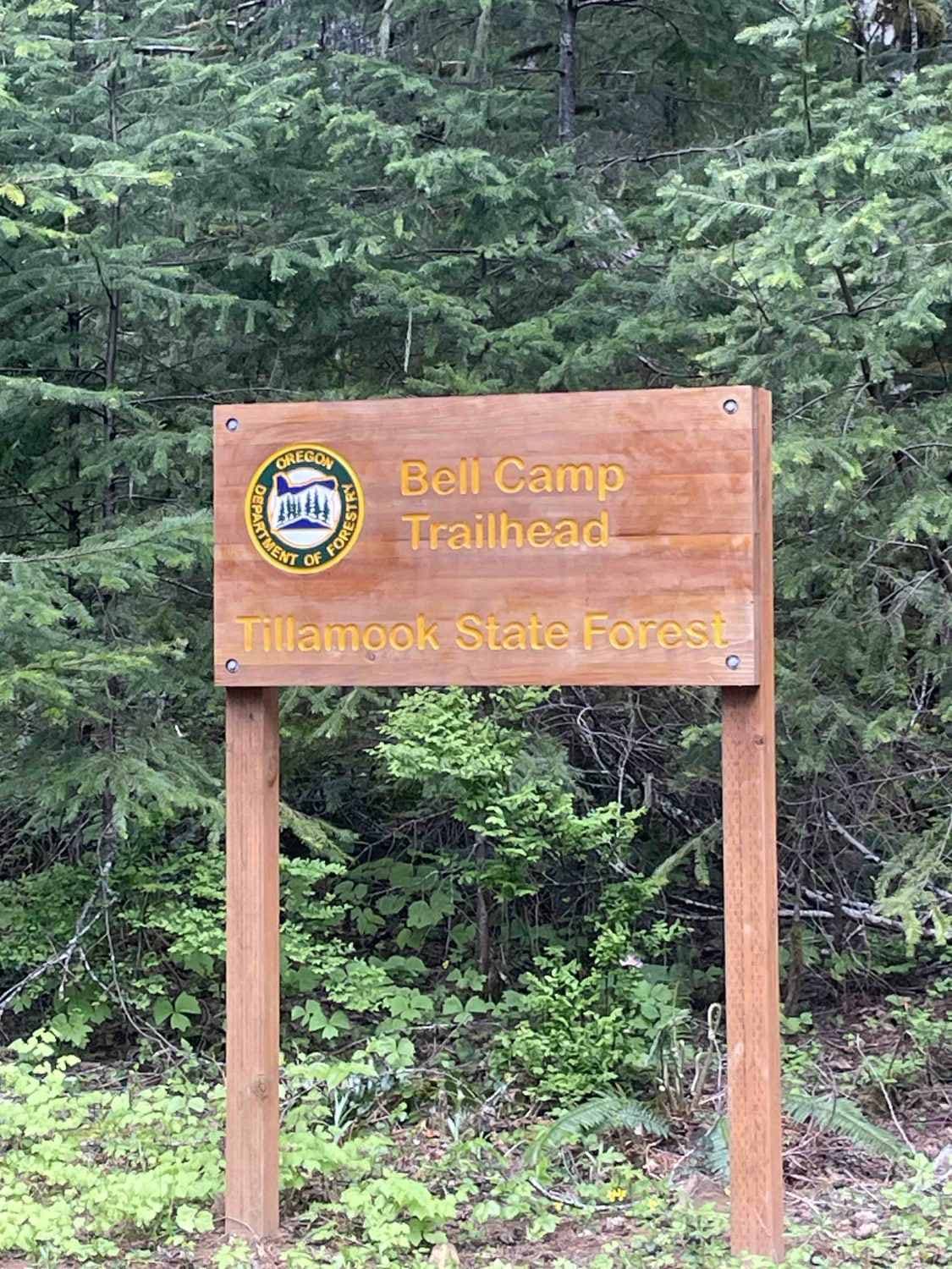
Expect potholes and wildlife--perhaps even hikers, mountain bikers, and horseback riders. This is a nice gradual road that is maintained pretty well. Watch out for log trucks or any kind of truck. There are wide…
Learn more about Bell Camp Road
Total Miles
5.7
Tech Rating
1 Easy
Best Time
Spring, Summer, Fall, Winter
Learn more about Bell Mountain to Rye Mountain
Bell Mountain to Rye Mountain

Bell Mountain to Rye Mountain

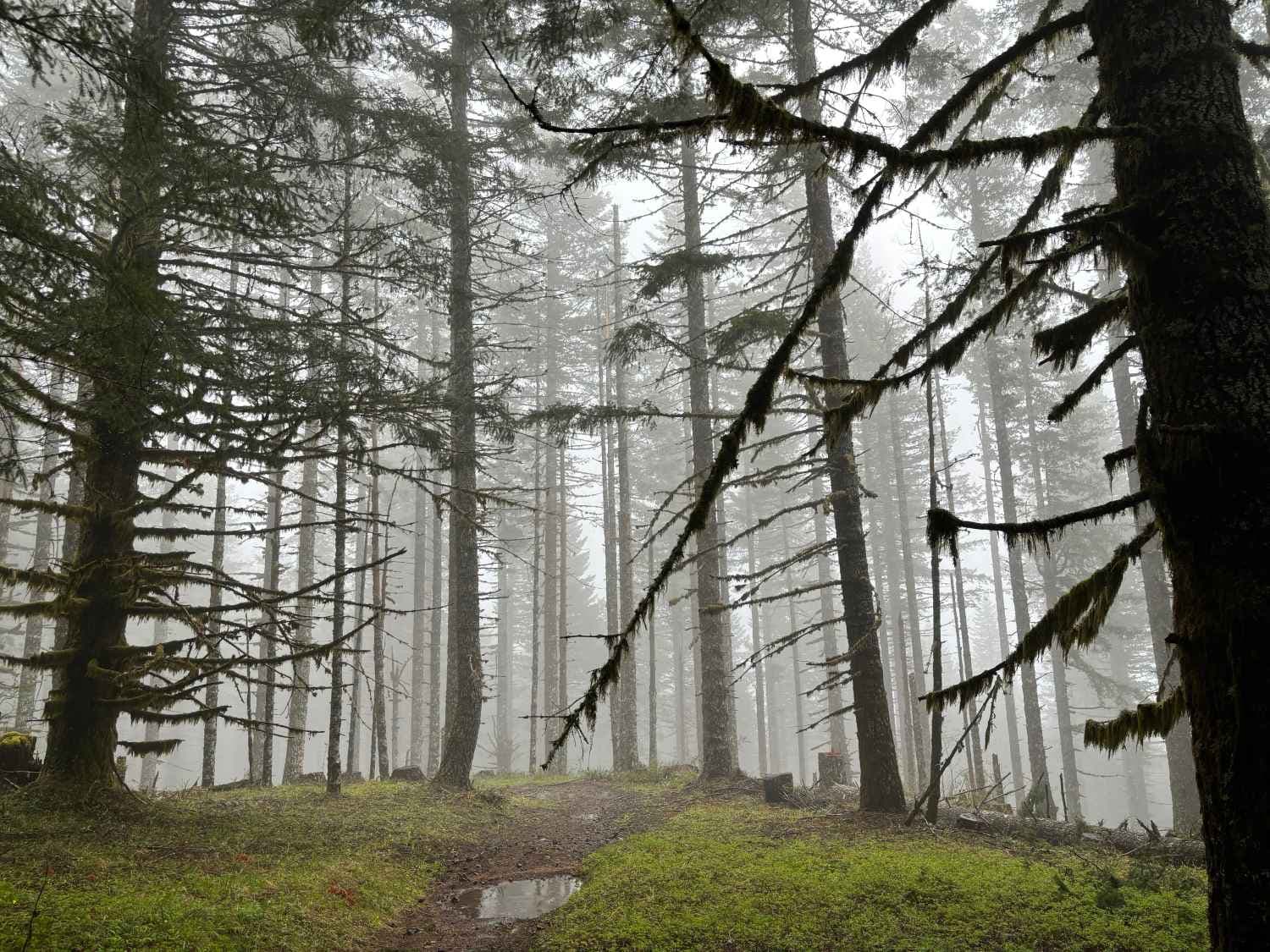
Bell Mountain is located in the Upper Nestucca OHV Area west of McMinnville, Oregon. Bell Mountain is 2,608 feet and once housed a fire lookout tower which was removed in 1951. You can park nearby…
Learn more about Bell Mountain to Rye Mountain
Total Miles
4.3
Tech Rating
2 Easy
Best Time
Summer, Fall
Learn more about Bennett Pass
Bennett Pass

Bennett Pass

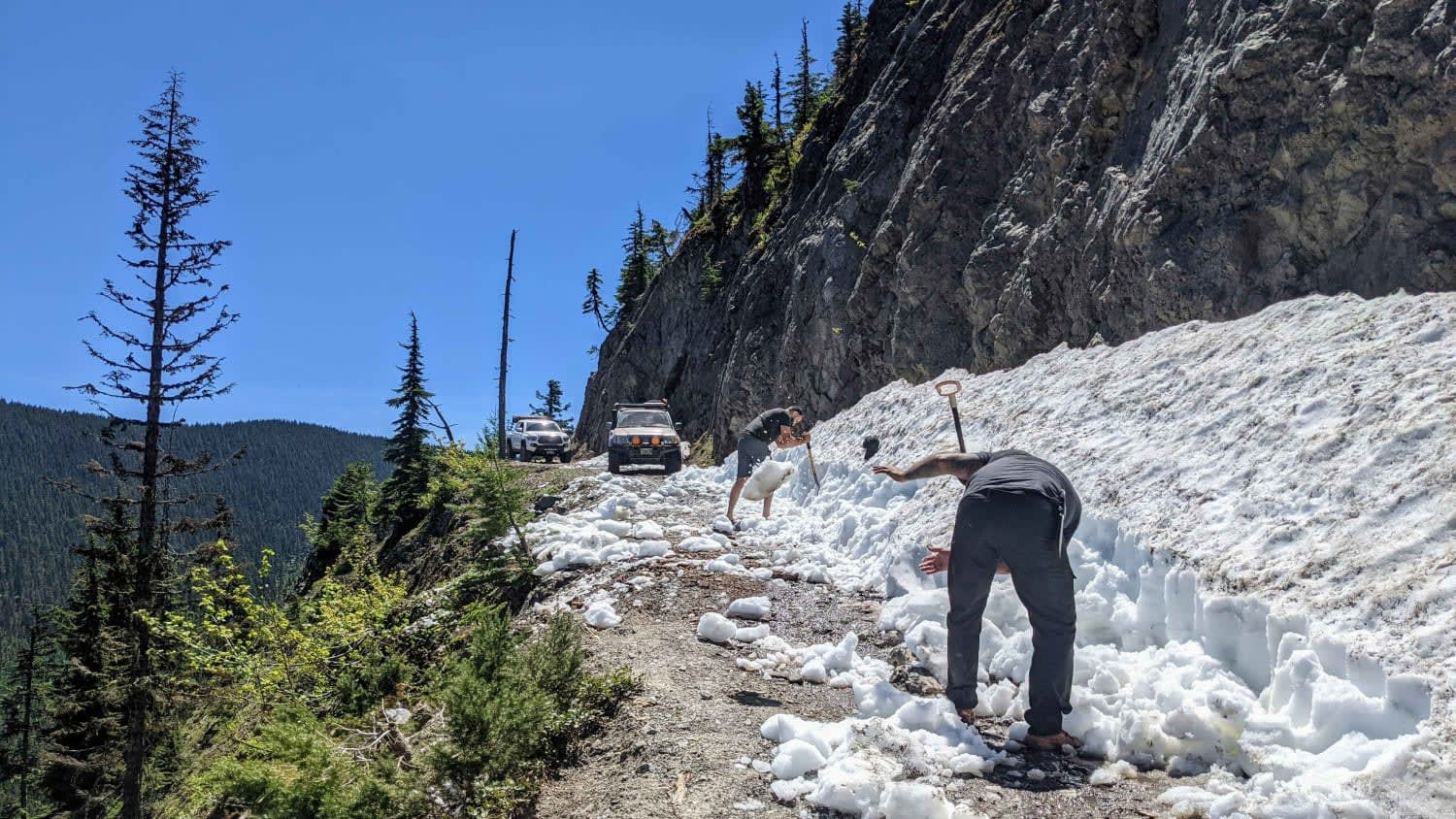
Bennett Pass is a popular seasonal Forest Service road off of Highway 35 on Mt Hood's Eastern flank. It is open to vehicles from late spring (dependent on snowpack) to December 1st. In the winter,…
Learn more about Bennett Pass
Total Miles
4.1
Tech Rating
6 Moderate
Best Time
Summer, Fall
Learn more about Bennett Pass 2
Bennett Pass 2

Bennett Pass 2

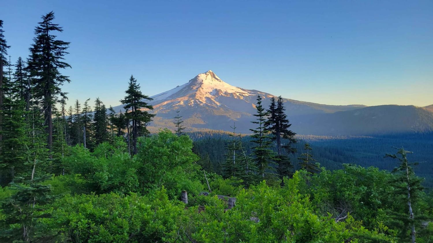
Bennett Pass is a popular seasonal Forest Service Road off Highway 35, along Mt. Hood's Eastern flank. It is open to vehicles from late spring (dependent on snowpack) to December 1st. When the trail was…
Learn more about Bennett Pass 2
Total Miles
5.9
Tech Rating
5 Moderate
Best Time
Summer, Fall
Learn more about Bessie to Lava
Bessie to Lava

Bessie to Lava

Easy-going connector trail between Bessie Butte in the China Hat area, to the Lava Cast Forest. During the summer months, this is a beautiful, relatively tame way to get between these two areas. It's a…
Learn more about Bessie to Lava
Total Miles
12.8
Tech Rating
3 Easy
Best Time
Winter
Learn more about Big Camas
Big Camas

Big Camas

Big Camas road is an easy gravel road, with some very long straight sections, but most of it has big potholes so going fast isn't wise, this is also a very busy road. The road…
Learn more about Big Camas
Total Miles
13.1
Tech Rating
1 Easy
Best Time
Spring, Summer, Fall
Learn more about Bingham Ridge 2253
Bingham Ridge 2253

Bingham Ridge 2253

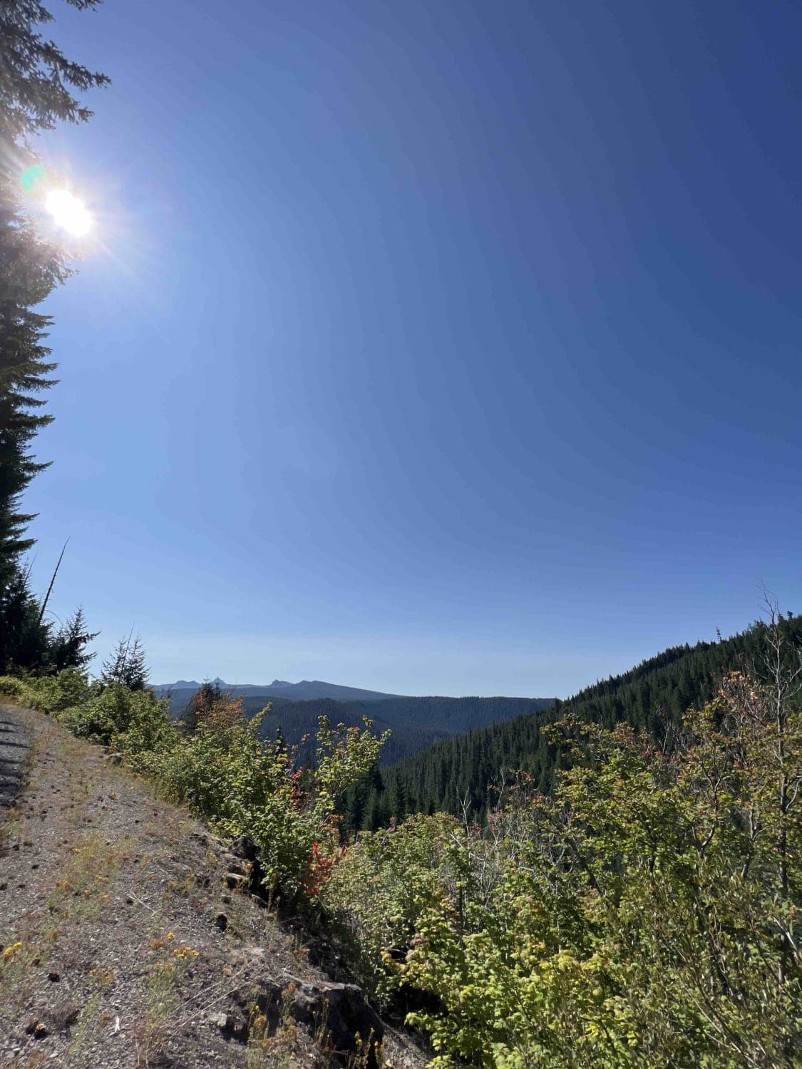
Bingham Ridge 2253 is a 5.5-mile gravel road near Mount Jefferson, Oregon. On July 1st, 1993, Willamette National Forest was established, making it the most extensive National Forest in Oregon at 1,666,998 acres. For nearly…
Learn more about Bingham Ridge 2253
Total Miles
5.4
Tech Rating
1 Easy
Best Time
Spring, Summer, Fall, Winter
Learn more about Birch Creek Road
Birch Creek Road

Birch Creek Road

This rocky, graded gravel road drops two thousand feet off of the rimrock down to the Historic Birch Creek Ranch and BLM campground along the Owyhee River. The Birch Creek Ranch campground is a beautiful…
Learn more about Birch Creek Road
Total Miles
7.1
Tech Rating
3 Easy
Best Time
Fall
1 2 3 4 5 6 7 8 9 10 ... 24

The onX Offroad Difference

onX Offroad combines trail photos, descriptions, difficulty ratings, width restrictions, seasonality, and more in a user-friendly interface. Available on all devices, with offline access and full compatibility with CarPlay and Android Auto. Discover what you’re missing today!