Off-Road Trails in Oregon

Discover off-road trails in Oregon

Learn more about Burnt Basin
Burnt Basin

Burnt Basin

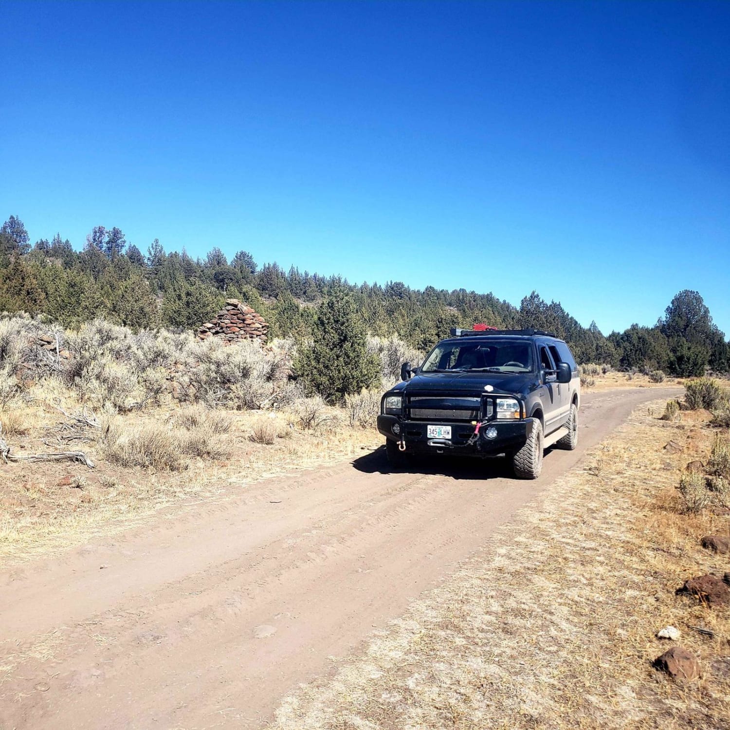
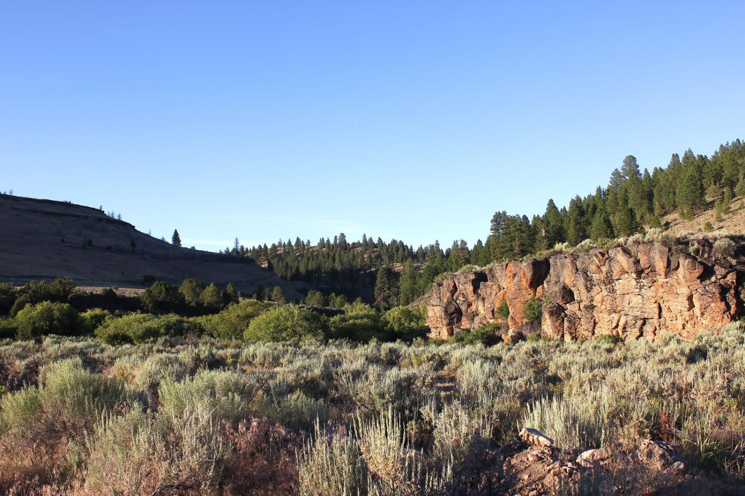
This is a fantastic trail just outside of Burns, OR. It travels through many types of high-desert terrain: rimrocks, canyons, rivers, creeks, forests and plains. There are two large, fun water crossings on this trail,…
Learn more about Burnt Basin
Total Miles
17.6
Tech Rating
5 Moderate
Best Time
Summer
Learn more about Burnt Car Road
Burnt Car Road

Burnt Car Road

This road accesses the Steens Mountain wilderness. It is a rugged route that takes you 8 miles out to a remote area that is often used to access the wilderness area or for people to…
Learn more about Burnt Car Road
Total Miles
7.4
Tech Rating
6 Moderate
Best Time
Summer, Fall
Learn more about Burnt Flat Road
Burnt Flat Road

Burnt Flat Road

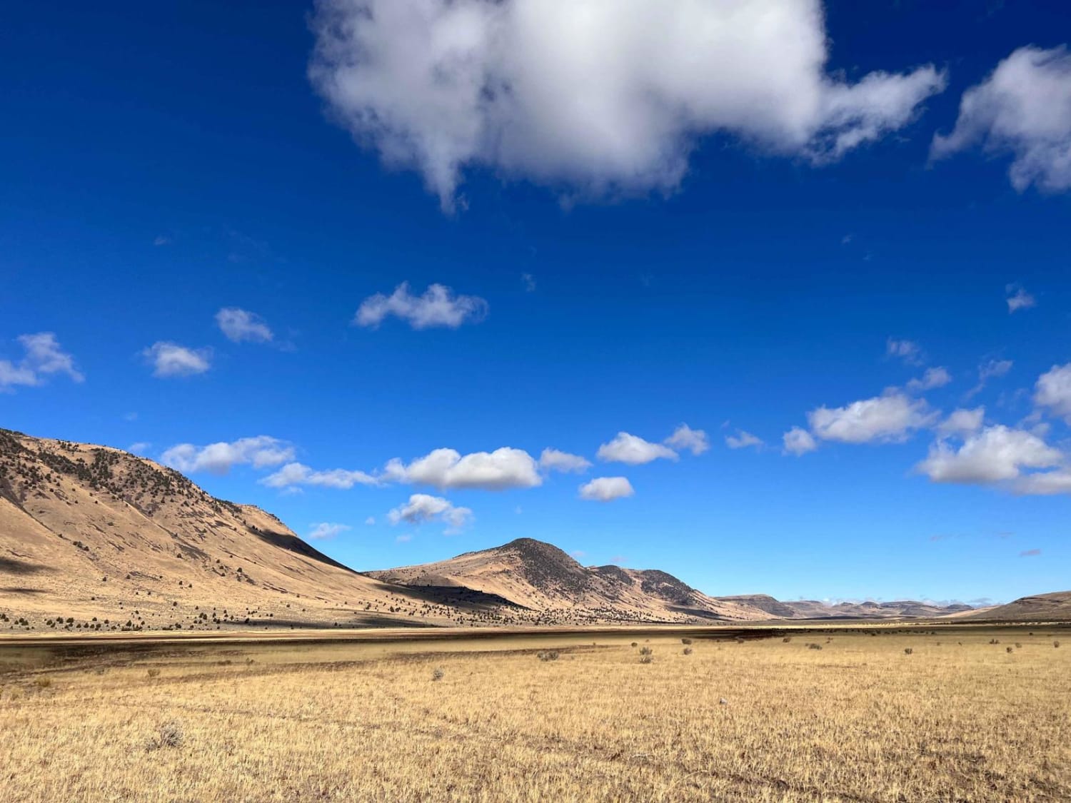
This trail ascends from the valley below into a network of trails in the Steens Mountains. The trail begins down in the lakebed area and the lower valley. Then it ascends a steep rocky shelf…
Learn more about Burnt Flat Road
Total Miles
10.6
Tech Rating
3 Easy
Best Time
Spring, Fall, Summer
Learn more about Butler Creek Mainline
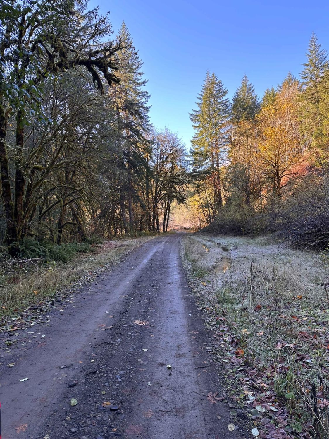
Butler Creek Mainline

Butler Creek Mainline

This is the main logging route into the heart of the Clatsop State Forest. This is an easy, scenic drive with numerous spurs to explore. Deadfall could be an issue in the shoulder seasons. Like…
Learn more about Butler Creek Mainline
Total Miles
5.4
Tech Rating
2 Easy
Best Time
Spring, Summer, Fall, Winter
Learn more about Cache Mountain - NF 2067900
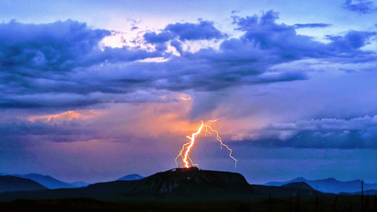
Cache Mountain - NF 2067900

Cache Mountain - NF 2067900

Tight Forest Service road that leads from the Old Santiam Wagon Road up to the summit of Cache Mountain at 5800'. Many of the roads in this area are overgrown with manzanita bushes that will…
Learn more about Cache Mountain - NF 2067900
Total Miles
3.7
Tech Rating
3 Easy
Best Time
Summer, Fall
Learn more about Calamity Butte Lookout
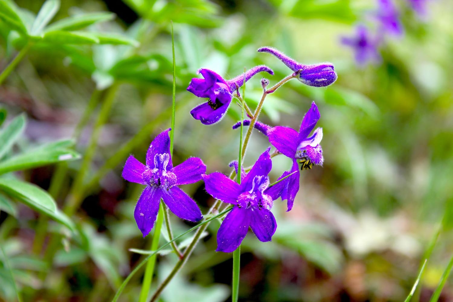
Calamity Butte Lookout

Calamity Butte Lookout

This trail leads to Calamity Butte Lookout, which is a very old lookout but still used when needed. The trail starts going through beautiful ponderosa forests, and near the top are mountain mahogany and a…
Learn more about Calamity Butte Lookout
Total Miles
9.6
Tech Rating
4 Easy
Best Time
Spring, Summer, Fall
Learn more about Calf Creek
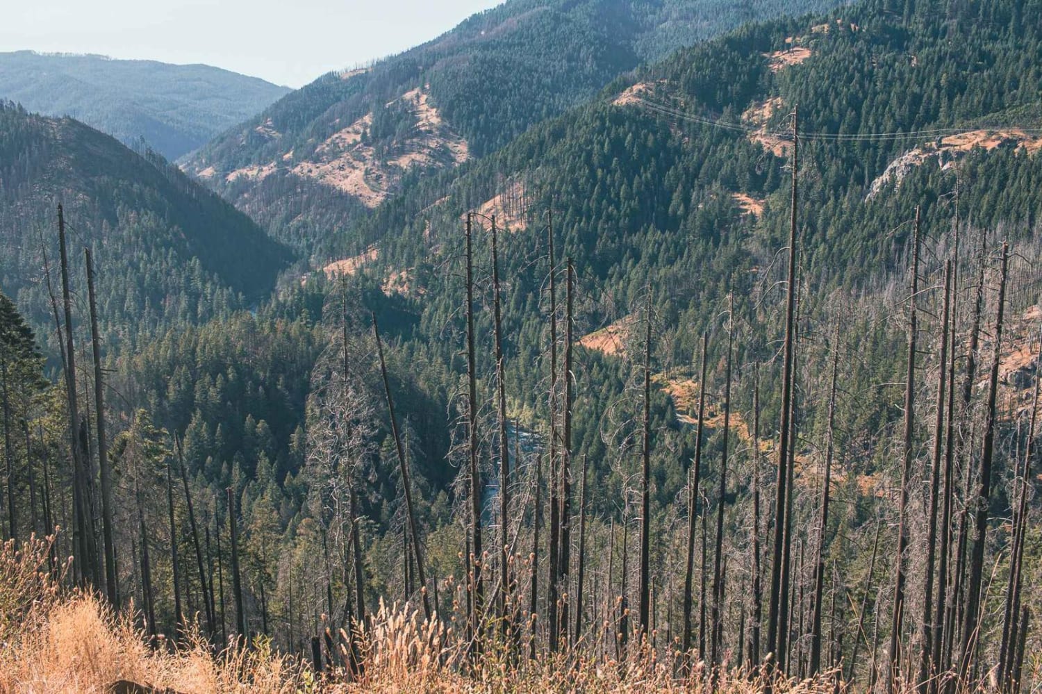
Calf Creek

Calf Creek

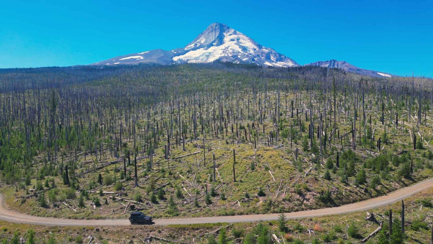
Calf Creek road runs through the Umpqua National Forest, it is an easy one-lane gravel road with turnouts, it is in a burned area so be mindful of rocks and falling debris. There is access…
Learn more about Calf Creek
Total Miles
6.5
Tech Rating
1 Easy
Best Time
Spring, Summer, Fall
Learn more about Calf Ridge
Calf Ridge

Calf Ridge

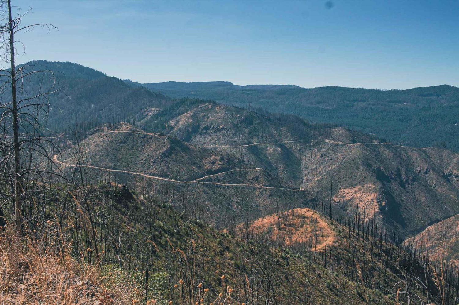
Calf Ridge road number 4720 is an easy gravel road that runs through the Umpqua National Forest. There are plenty of beautiful views to enjoy on this route, it is in a burned area so…
Learn more about Calf Ridge
Total Miles
13.7
Tech Rating
1 Easy
Best Time
Spring, Summer, Fall
Learn more about Calfhead T.S.
Calfhead T.S.

Calfhead T.S.

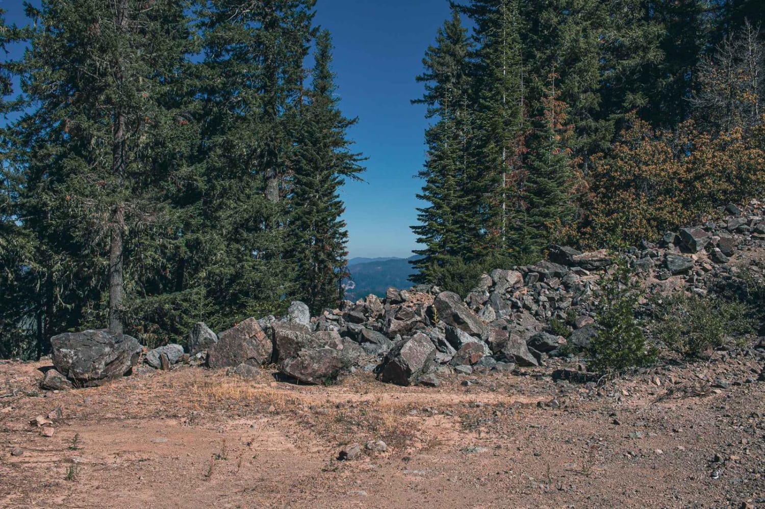
Calf Head TS road runs through the Umpqua National Forest. It is a mostly gravel road with sections that have become more of a natural surface. The road gets tight in a few spots, and…
Learn more about Calfhead T.S.
Total Miles
2.4
Tech Rating
1 Easy
Best Time
Spring, Summer, Fall
Learn more about Cedar Butte Road
Cedar Butte Road

Cedar Butte Road

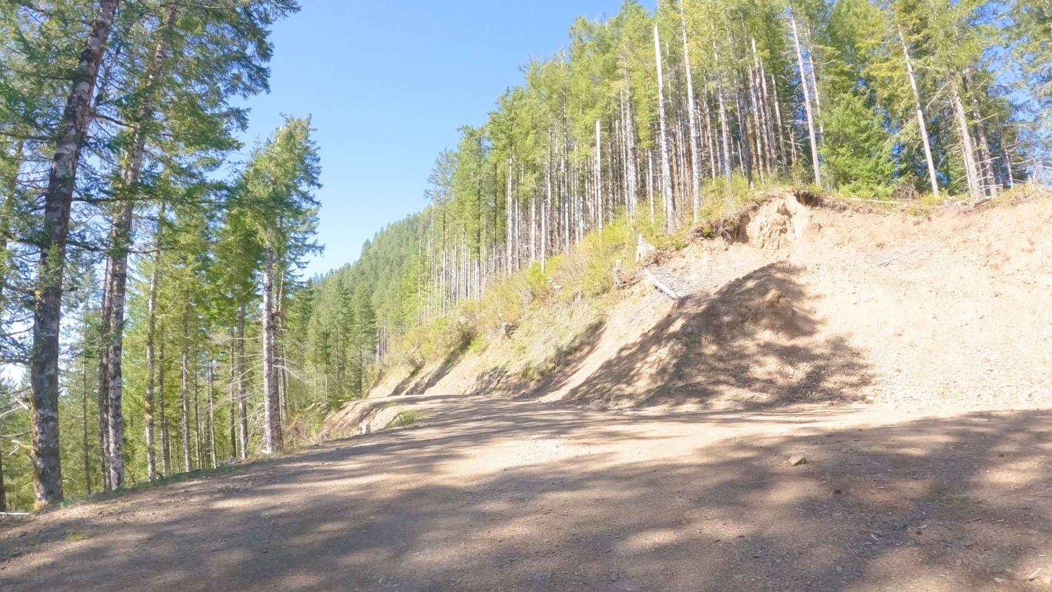
Cedar Butte Road crosses the Wilson River as it begins at Highway 6 and climbs over 2,500' over 6.5 miles up into the Tillamook Range to a saddle just below Cedar Butte where it meets…
Learn more about Cedar Butte Road
Total Miles
6.7
Tech Rating
2 Easy
Best Time
Spring, Summer, Fall
Learn more about Cedar Creek
Cedar Creek

Cedar Creek

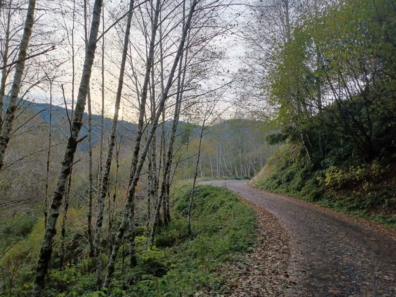
Cedar Creek is an easy gravel road with a couple of sections of washboard, and some parts with gradual inclines, but nothing technical. The road runs through Siuslaw National Forest. There are a few camp…
Learn more about Cedar Creek
Total Miles
6.1
Tech Rating
1 Easy
Best Time
Spring, Summer, Fall
Learn more about Chesley's Challenge
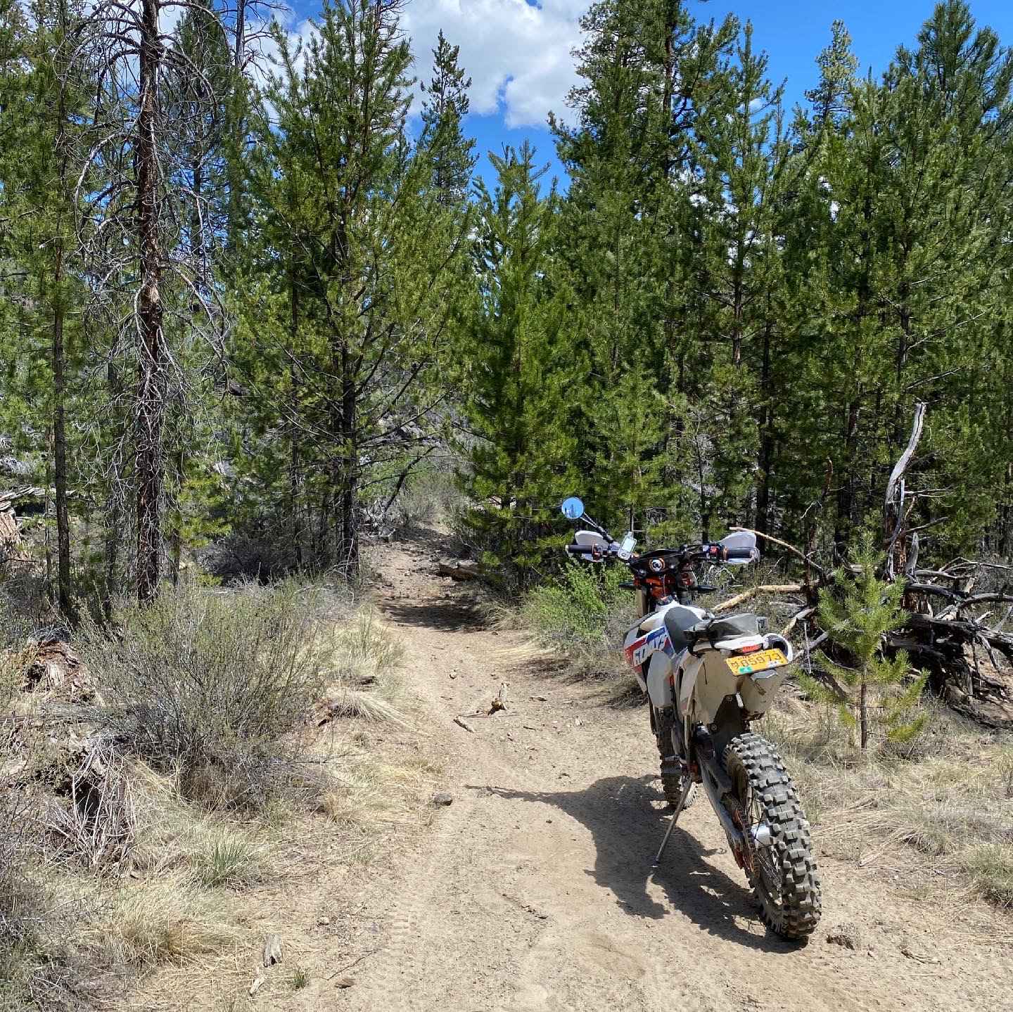
Chesley's Challenge

Chesley's Challenge

Expect just about everything except water and mud. There are deep whoops, Silty sand, pumice all over the trail creating a unique riding experience. You will find long straights, curvy section in tight corners in…
Learn more about Chesley's Challenge
Total Miles
40.1
Tech Rating
7 Difficult
Best Time
Spring, Fall
Learn more about Cinder Butte Viewpoint
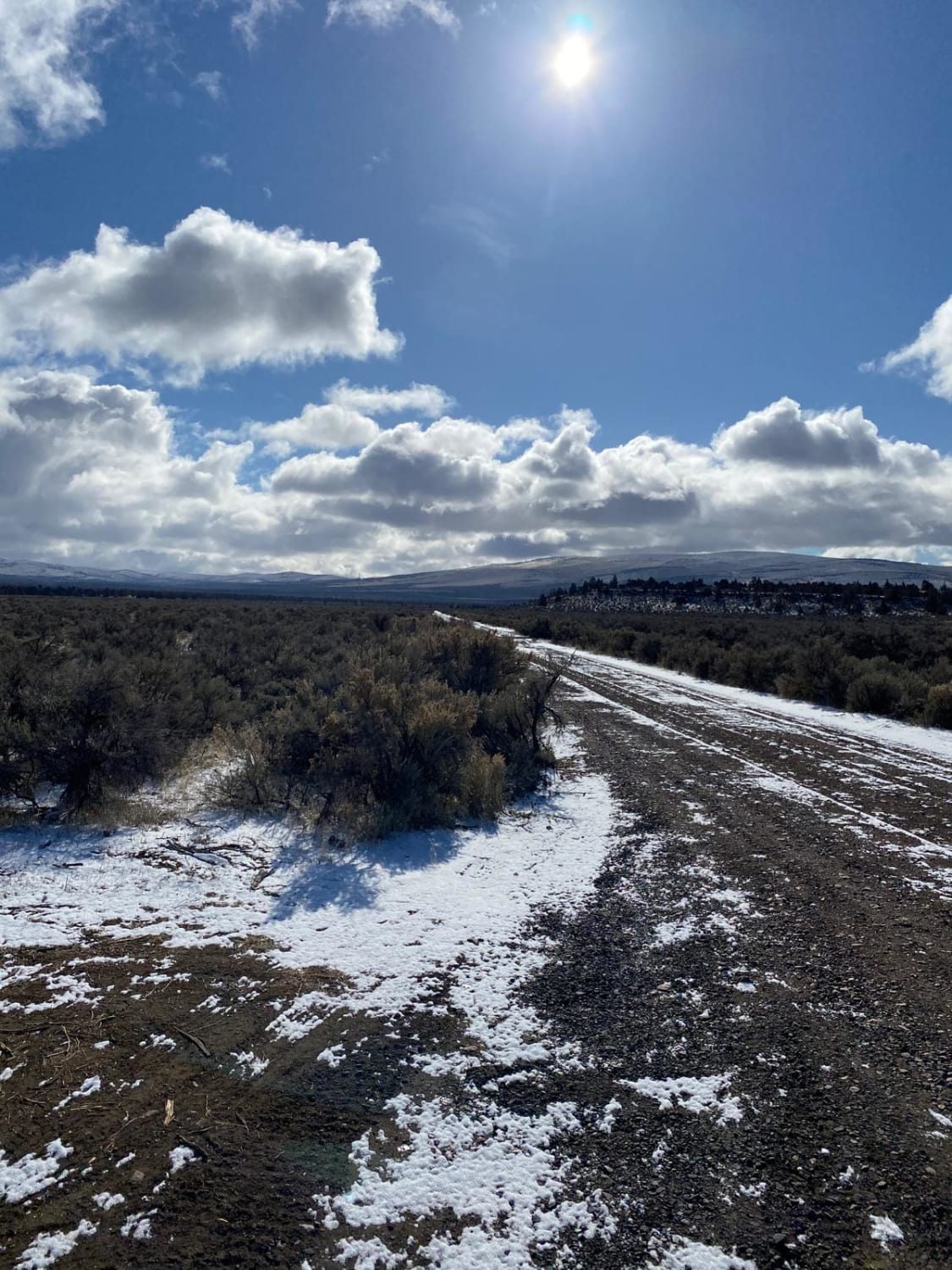
Cinder Butte Viewpoint

Cinder Butte Viewpoint

This trail leads to the cinder butte. Intertwined into and around this track are a lot of dirt bike trails that make this area so much fun. The beginning of this trail is directly off…
Learn more about Cinder Butte Viewpoint
Total Miles
14.9
Tech Rating
5 Moderate
Best Time
Spring, Fall, Winter
Learn more about Cinnamon Butte Road
Cinnamon Butte Road

Cinnamon Butte Road

The journey begins just west of Diamond Lake, where the trail starts as a well-maintained gravel path before transitioning to a natural dirt trail. This marks the beginning of a steep, off-camber ascent to the…
Learn more about Cinnamon Butte Road
Total Miles
3.1
Tech Rating
3 Easy
Best Time
Summer
Learn more about Clear Lake 2660
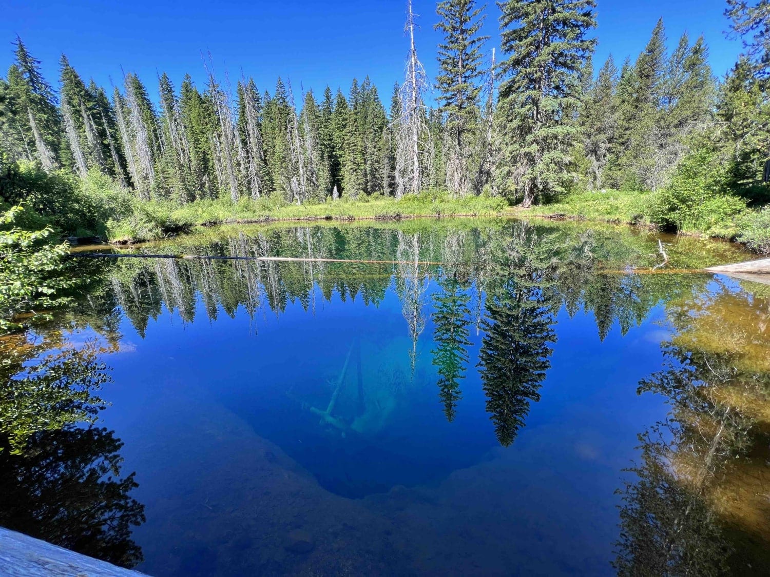
Clear Lake 2660

Clear Lake 2660

Clear Lake 2660 is the gateway to one of the most beautifully colored and historic lakes in the United States called Little Crater Lake which was named after Crater Lake. This route is about 7…
Learn more about Clear Lake 2660
Total Miles
7.9
Tech Rating
2 Easy
Best Time
Fall, Summer, Spring
Learn more about Cline Butes Flow Trail
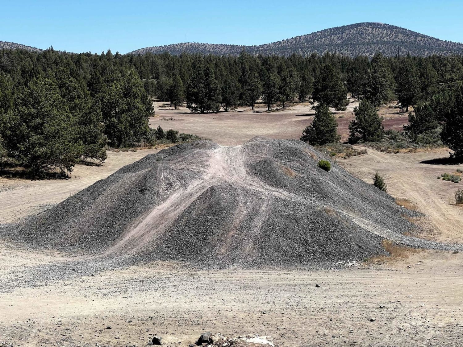
Cline Butes Flow Trail

Cline Butes Flow Trail

Fun, flowy, banked turns leading to an abandoned quarry. Some slight rock garden areas to pass through at the beginning of the trail. Once you get to the quarry, you can challenge your vehicle on…
Learn more about Cline Butes Flow Trail
Total Miles
1.6
Tech Rating
2 Easy
Best Time
Summer, Spring, Fall
Learn more about Cline Butte Meadow
Cline Butte Meadow

Cline Butte Meadow

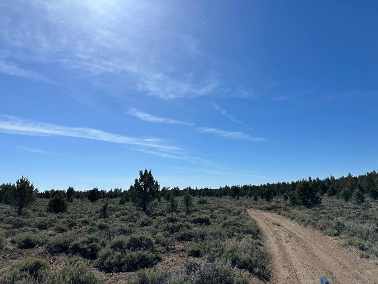
This trail has a fun sandy flow that takes you out to a picturesque high desert meadow. If you're looking for a rad spot to capture some drone footage, this is it. The long visibility…
Learn more about Cline Butte Meadow
Total Miles
2.0
Tech Rating
3 Easy
Best Time
Spring, Summer, Fall, Winter
Learn more about Cline Butte Trail 31
Cline Butte Trail 31

Cline Butte Trail 31

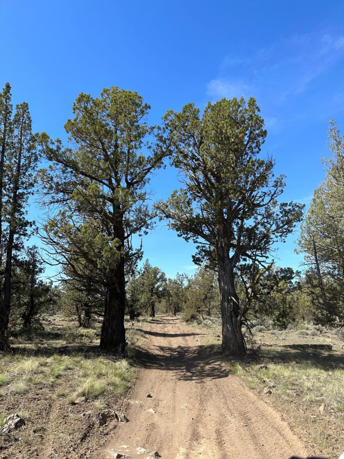
This is a really fun trail to hit with almost any vehicle. Sprinter-type vans would be too tall for some of the low-hanging trees. Starting out at the staging area, travel West across the rocky…
Learn more about Cline Butte Trail 31
Total Miles
4.1
Tech Rating
3 Easy
Best Time
Spring, Summer, Fall, Winter
Learn more about Clinger Trail Hood NF
Clinger Trail Hood NF

Clinger Trail Hood NF

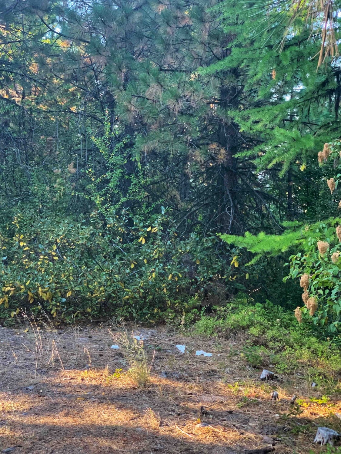
Very narrow dirt trail in a heavily forested area. Not recommended for larger or full-size vehicles, the trees are very overgrown, except pinstriping. There were some low-hanging trees and one across the trail. Bring equipment…
Learn more about Clinger Trail Hood NF
Total Miles
6.2
Tech Rating
2 Easy
Best Time
Summer, Fall
Learn more about Cloud Cap Road
Cloud Cap Road

Cloud Cap Road

This trail is an irregular gravel road marked by large rocks, numerous potholes, and segments of profound dust which create the potential to get stuck. Its accessibility varies with the seasons and may be gated…
Learn more about Cloud Cap Road
Total Miles
9.0
Tech Rating
1 Easy
Best Time
Summer
1 2 3 4 5 6 7 8 9 10 ... 24

The onX Offroad Difference

onX Offroad combines trail photos, descriptions, difficulty ratings, width restrictions, seasonality, and more in a user-friendly interface. Available on all devices, with offline access and full compatibility with CarPlay and Android Auto. Discover what you’re missing today!