Off-Road Trails in Utah

Discover off-road trails in Utah

Learn more about Tenmile Creek Trail
Tenmile Creek Trail

Tenmile Creek Trail

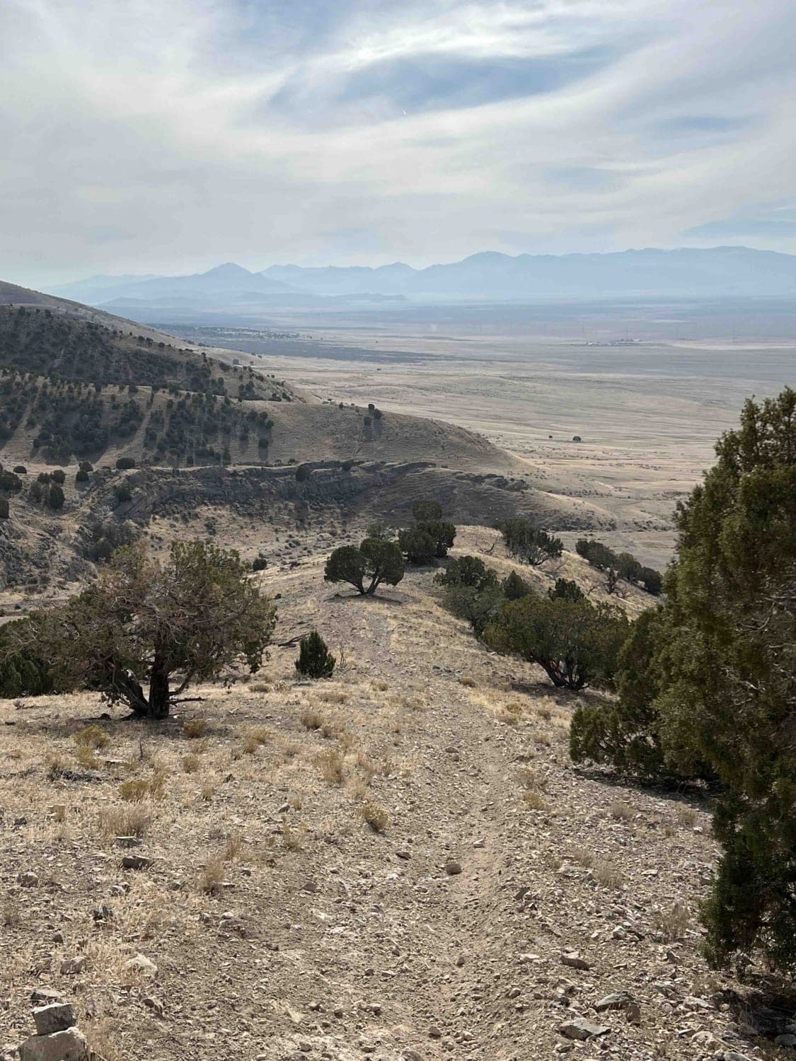
The Tenmile Creek Trail intersects at the top with the Tenmile Hiking Trail and Tenmile Creek. This is a dead-end track for vehicles. The hiking trail is open to hikers, horseback riders, and bikes. The…
Learn more about Tenmile Creek Trail
Total Miles
4.7
Tech Rating
2 Easy
Best Time
Summer, Fall
Learn more about Tenmile Wash
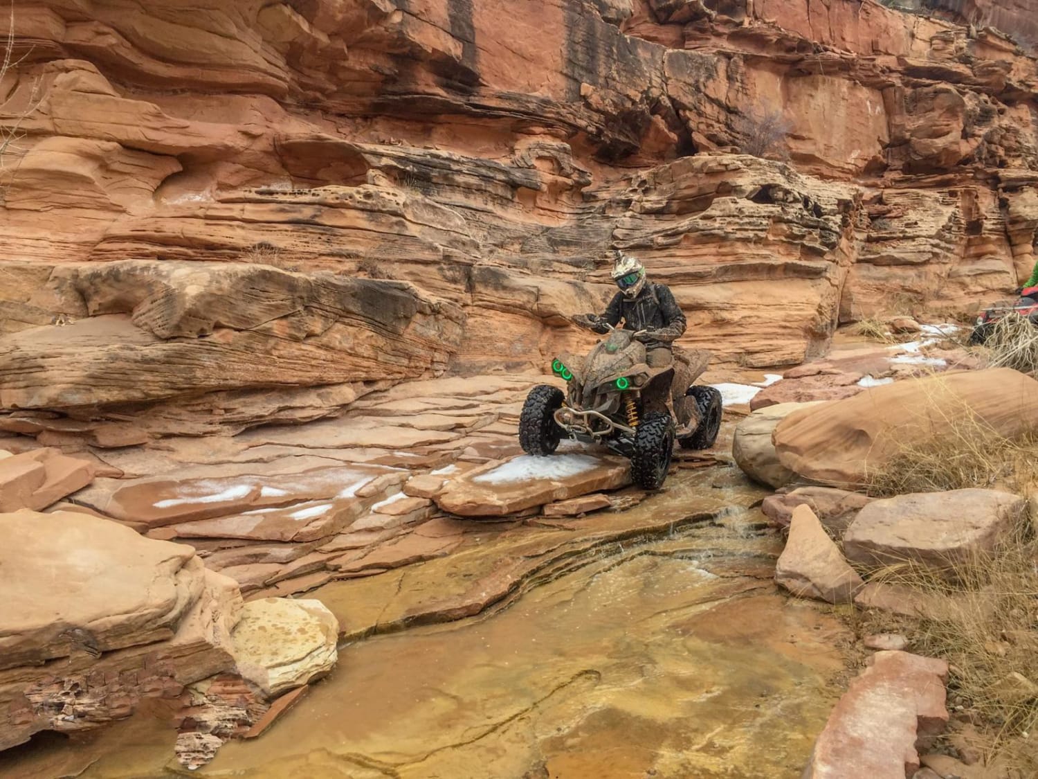
Tenmile Wash

Tenmile Wash

This is a very sandy trail through a narrow canyon with water and a few challenging obstacles. Washouts are very common, and can make the trail impassable. If conditions are good, you can make it…
Learn more about Tenmile Wash
Total Miles
14.7
Tech Rating
7 Moderate
Best Time
Summer, Fall
Learn more about Terrys
Terrys

Terrys

Terrys is one of the harder single tracks in the Sovereign Trail System due to tricky exposed switchbacks and several rock-ledge obstacles. It's a really fun challenge because it has many unique desert features. Going…
Learn more about Terrys
Total Miles
1.2
Tech Rating
7 Difficult
Best Time
Spring, Winter, Fall
Learn more about The Back 9
The Back 9

The Back 9

This trail heads South across the Lake Mountain range and is the return trail for The Front 9 route. It features a single track that traverses several ridgelines with significant elevation change. The trail covers…
Learn more about The Back 9
Total Miles
10.3
Tech Rating
4 Moderate
Best Time
Spring, Summer, Fall, Winter
Learn more about The Back 9 Turn Track
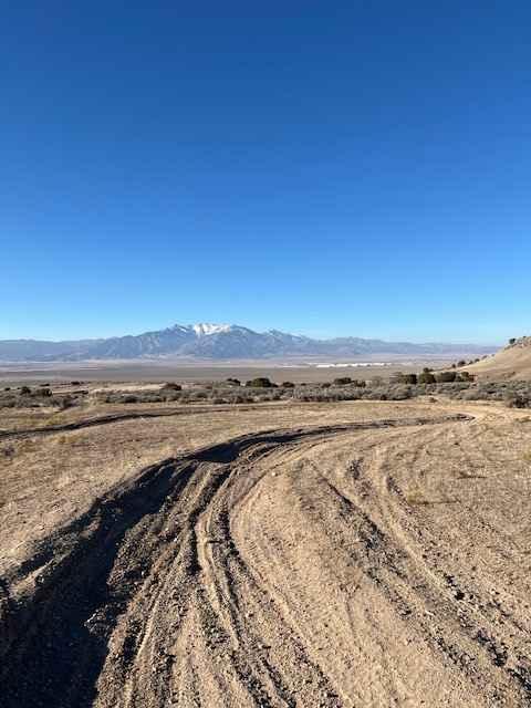
The Back 9 Turn Track

The Back 9 Turn Track

This is a turn track located off The Back 9 Trail. It has a bunch of wide-rutted turns with fast whoop sections in between. The dirt is pretty loose and somewhat sandy. Many of the…
Learn more about The Back 9 Turn Track
Total Miles
0.6
Tech Rating
3 Easy
Best Time
Spring, Summer, Fall, Winter
Learn more about The Big Drop
The Big Drop

The Big Drop

The Big Drop is a 4-mile segment of the Enduro Loop and contains one of the harder obstacles on the entire Enduro Loop. The east entrance is off Dubinky Well Road. It starts easy through…
Learn more about The Big Drop
Total Miles
4.0
Tech Rating
6 Moderate
Best Time
Winter, Fall, Spring
Learn more about The Chute - Matt's Big Mistake
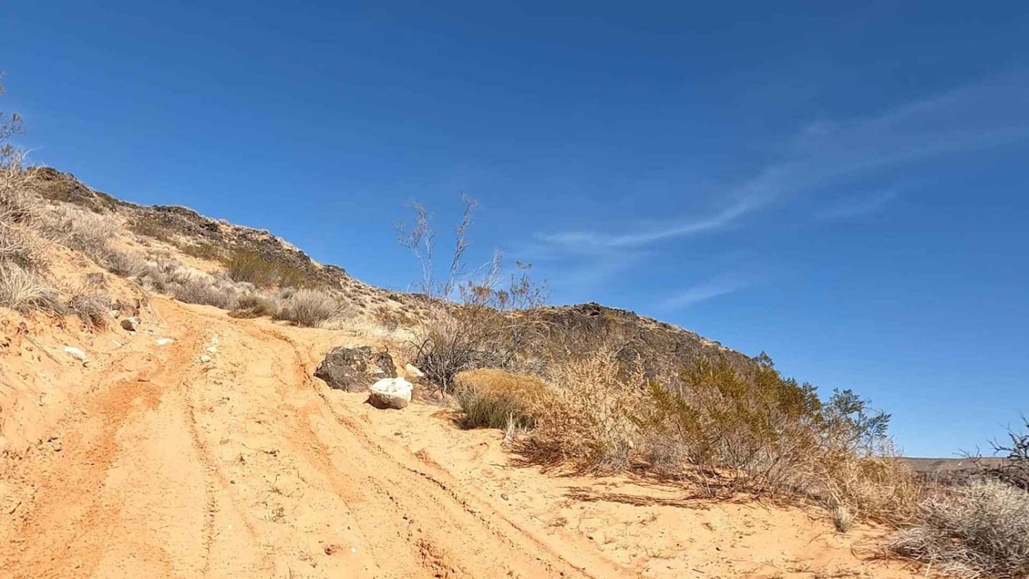
The Chute - Matt's Big Mistake

The Chute - Matt's Big Mistake

This area was made famous when a local offroad recovery company took all their recovery vehicles to the end of this trail and then spent two days getting them back out. That is your fair…
Learn more about The Chute - Matt's Big Mistake
Total Miles
4.0
Tech Rating
5 Moderate
Best Time
Spring, Fall, Summer, Winter
Learn more about The Devil's Staircase
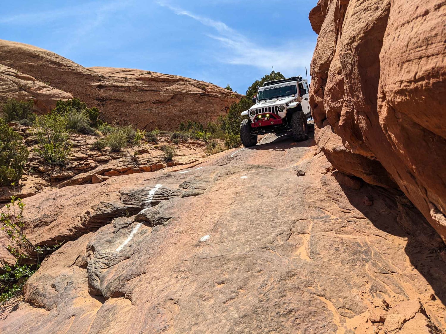
The Devil's Staircase

The Devil's Staircase

This is a previously closed portion of the Sand Flats recreation area. It is a connector on the Hell's Revenge trail from Tip-Over Challenge to the main trail towards the entrance/exit. The drop-in requires you…
Learn more about The Devil's Staircase
Total Miles
0.4
Tech Rating
6 Moderate
Best Time
Spring, Summer, Fall
Learn more about The Front 9
The Front 9

The Front 9

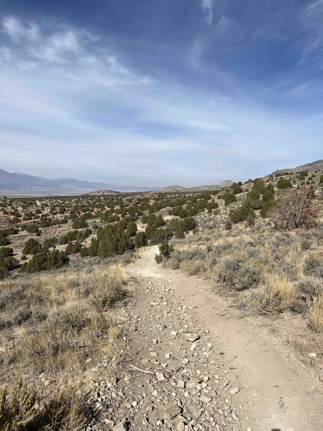
This trail starts from the Soldiers Pass parking area South of the Lake Mountains. The trail travels North, following a wash off the gravel road near the parking area. The wash is full of whoops…
Learn more about The Front 9
Total Miles
8.1
Tech Rating
4 Moderate
Best Time
Summer, Fall, Winter, Spring
Learn more about The Ledges
The Ledges

The Ledges

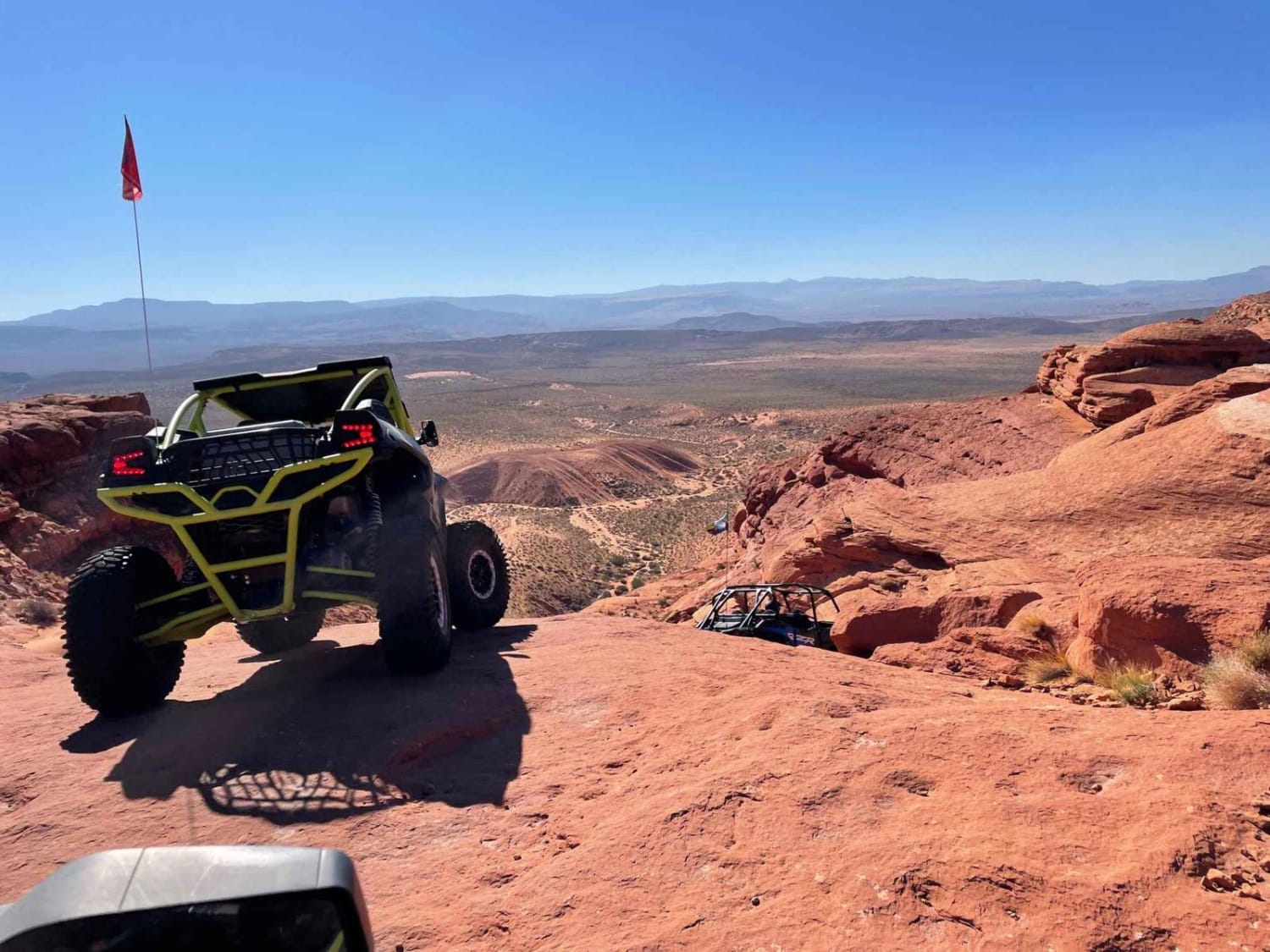
The Ledges start off of Plan B. This is the original route, including the Toilet Bowl. The first portion is generally skipped by vehicles due to the width of the trail and the off-camber drop-in,…
Learn more about The Ledges
Total Miles
1.5
Tech Rating
7 Difficult
Best Time
Spring, Fall, Winter
Learn more about The Open Range
The Open Range

The Open Range

This is a mostly flat trail. It can get very windy in this open range. A little bumpy in some spots, this is a fairly easy ride overall. Depending on the time of year, you…
Learn more about The Open Range
Total Miles
7.0
Tech Rating
2 Easy
Best Time
Spring
Learn more about The Other Geyser
The Other Geyser

The Other Geyser

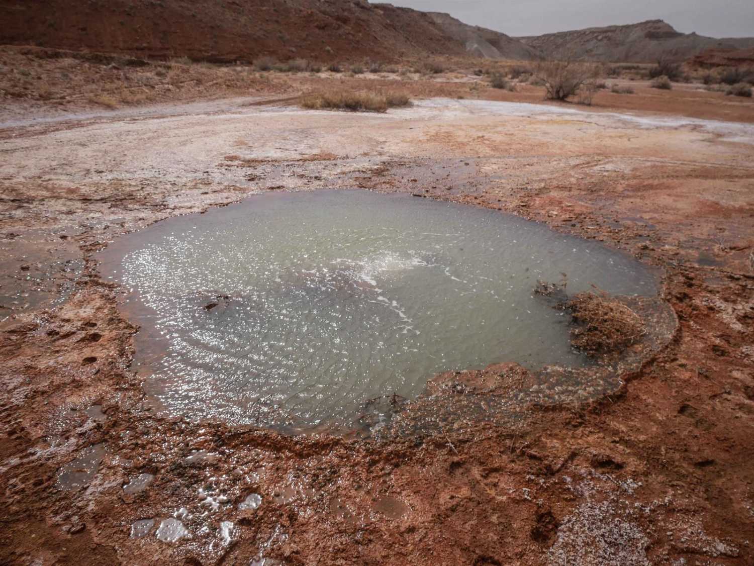
This is a wide and flat trail on red dirt with embedded slab rock that takes you out to see one of the geysers in this area. This is a lesser-known geyser compared to Crystal…
Learn more about The Other Geyser
Total Miles
1.3
Tech Rating
2 Easy
Best Time
Spring, Fall, Winter
Learn more about The Roller Coaster
The Roller Coaster

The Roller Coaster

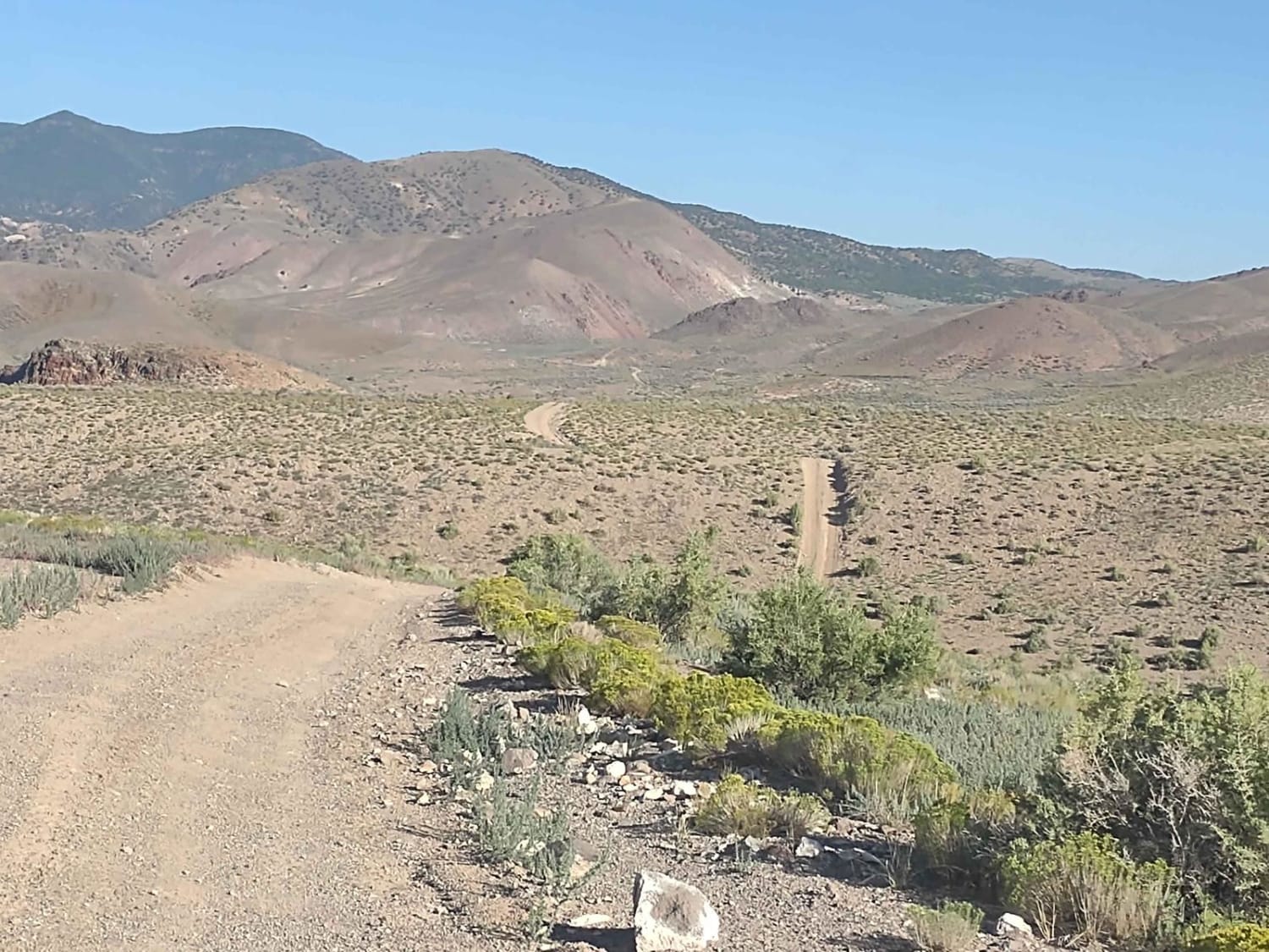
The Roller Coaster is as fun as its name sounds! It connects the Papa Bear Poker Run Trail to the Joseph to Marysvale Trail in southern Utah. The trail is a good trail with few…
Learn more about The Roller Coaster
Total Miles
1.1
Tech Rating
2 Easy
Best Time
Spring, Summer, Fall
Learn more about The Smithsonian Butte Backcountry Byway
The Smithsonian Butte Backcountry Byway

The Smithsonian Butte Backcountry Byway

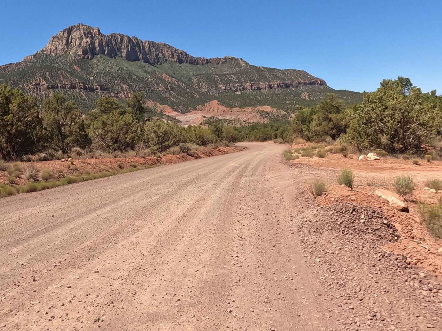
The Smithsonian Butte Backcountry Byway is a main artery connecting Highway 59 to a local Rockville street. This street will take you to Route 9 which leads to the west entrance to Zion National Park.…
Learn more about The Smithsonian Butte Backcountry Byway
Total Miles
7.7
Tech Rating
1 Easy
Best Time
Spring, Summer, Fall, Winter
Learn more about The Thumb
The Thumb

The Thumb

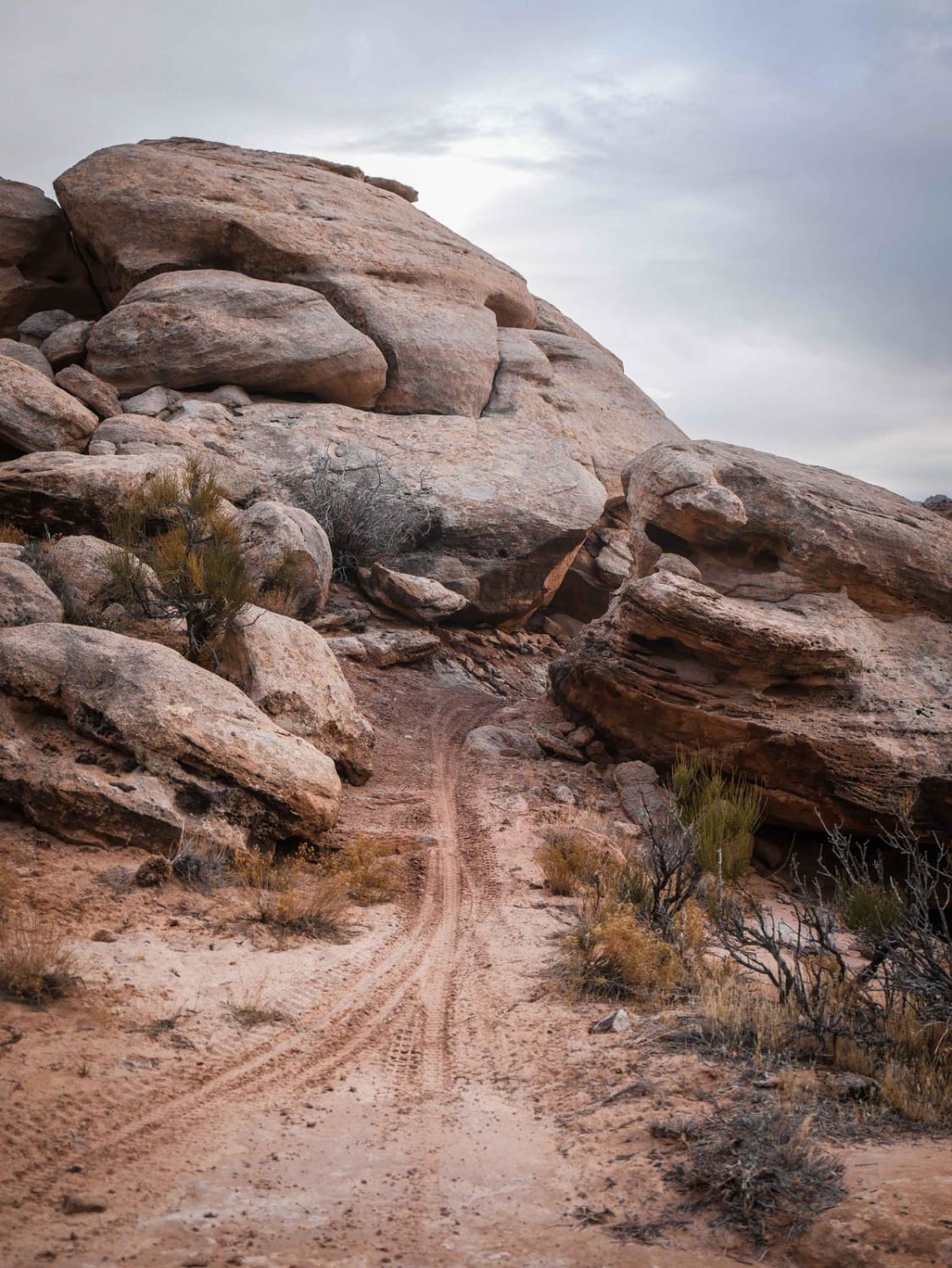
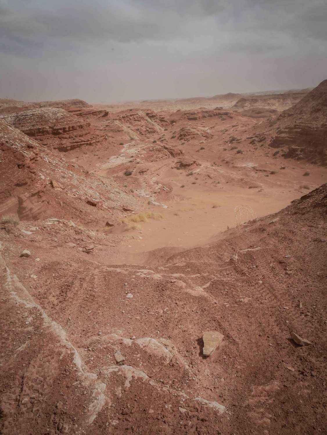
This is a wide dirt trail with embedded rock slab and loose rocks. It goes through a red desert terrain with big sandstone mesas in the distance, going up and over small hills and through…
Learn more about The Thumb
Total Miles
0.8
Tech Rating
2 Easy
Best Time
Spring, Winter, Fall
Learn more about The Ugly, The Bad, and The Good (FS 40630/Dry Hollow/Trail ID 70)
The Ugly, The Bad, and The Good (FS 40630/Dry Hollow/Trail ID 70)

The Ugly, The Bad, and The Good (FS 40630/Dry Hollow/Trail ID 70)

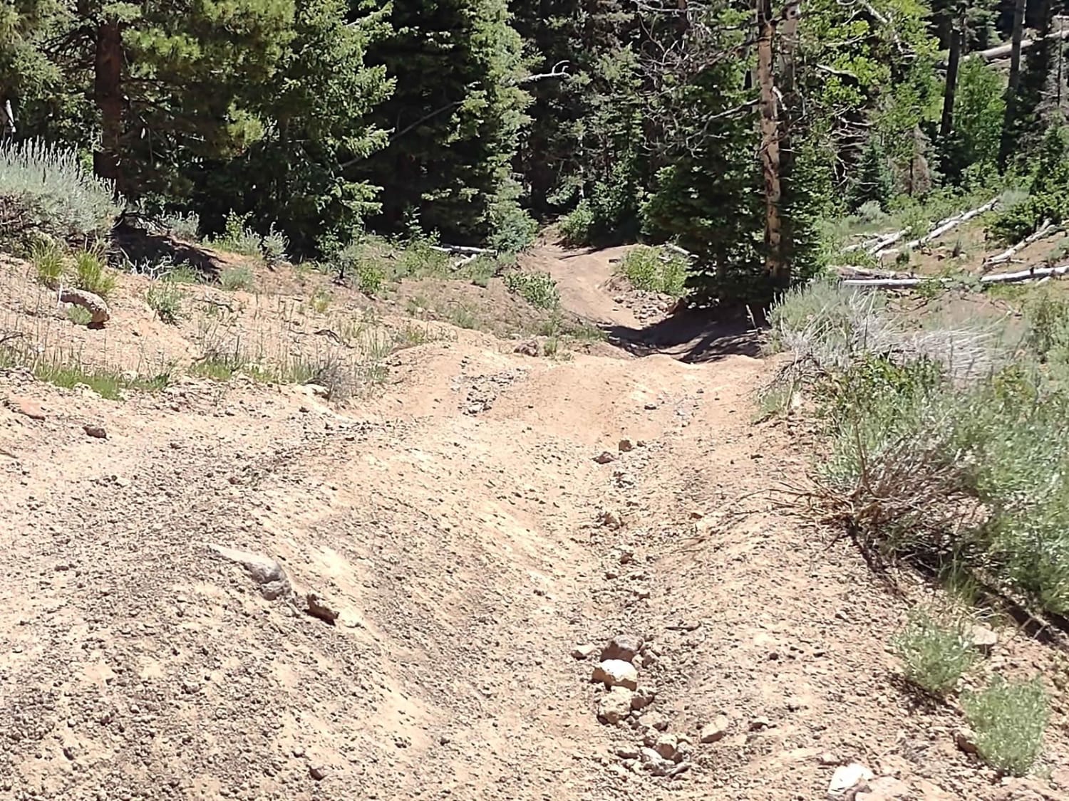
If you ride this trail from east to west, it's first ugly, then bad, then good. If you take the trail from west to east, it's good, bad, and then ugly. It's a narrow trail…
Learn more about The Ugly, The Bad, and The Good (FS 40630/Dry Hollow/Trail ID 70)
Total Miles
4.9
Tech Rating
4 Moderate
Best Time
Spring, Summer, Fall
Learn more about The Wickiup Loop
The Wickiup Loop

The Wickiup Loop

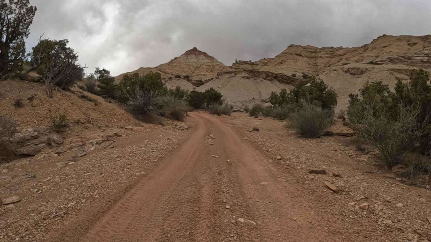
A short ride from the staging area off I-70, this simple loop takes you around The Wickiup, a small mountain shaped like a Native American dwelling, and past Round Knoll. At the north end of…
Learn more about The Wickiup Loop
Total Miles
13.9
Tech Rating
2 Easy
Best Time
Spring, Summer, Fall
Learn more about Third Water Creek #236
Third Water Creek #236

Third Water Creek #236

This is an almost 2-mile-long single track in the Uinta National Forest that goes between the Center Gwt single track and Sheeps Creek-Rays Valley Road. It's a narrow trail through tall skinny aspen trees and…
Learn more about Third Water Creek #236
Total Miles
1.7
Tech Rating
4 Moderate
Best Time
Spring, Summer, Fall
Learn more about Thousand Lake Mountain Road
Thousand Lake Mountain Road

Thousand Lake Mountain Road

This is a very non-technical road that connects from the Cathedral Valley trail up to Elkhorn Road by Fish Lake. What the road lacks in technical fun and challenges it more than makes up for…
Learn more about Thousand Lake Mountain Road
Total Miles
11.7
Tech Rating
1 Easy
Best Time
Spring, Summer, Fall
Learn more about Three Mile Canyon Trail
Three Mile Canyon Trail

Three Mile Canyon Trail

This is a small hunting trail that cuts through the mountains to Avon Pass. It's very narrow in several spots, which makes passing other vehicles near impossible. It's mainly used by 4-wheelers and hunters. The…
Learn more about Three Mile Canyon Trail
Total Miles
4.7
Tech Rating
3 Easy
Best Time
Summer, Fall

The onX Offroad Difference

onX Offroad combines trail photos, descriptions, difficulty ratings, width restrictions, seasonality, and more in a user-friendly interface. Available on all devices, with offline access and full compatibility with CarPlay and Android Auto. Discover what you’re missing today!