Off-Road Trails in Utah

Discover off-road trails in Utah

Learn more about Tibble Fork (2041)
Tibble Fork (2041)

Tibble Fork (2041)

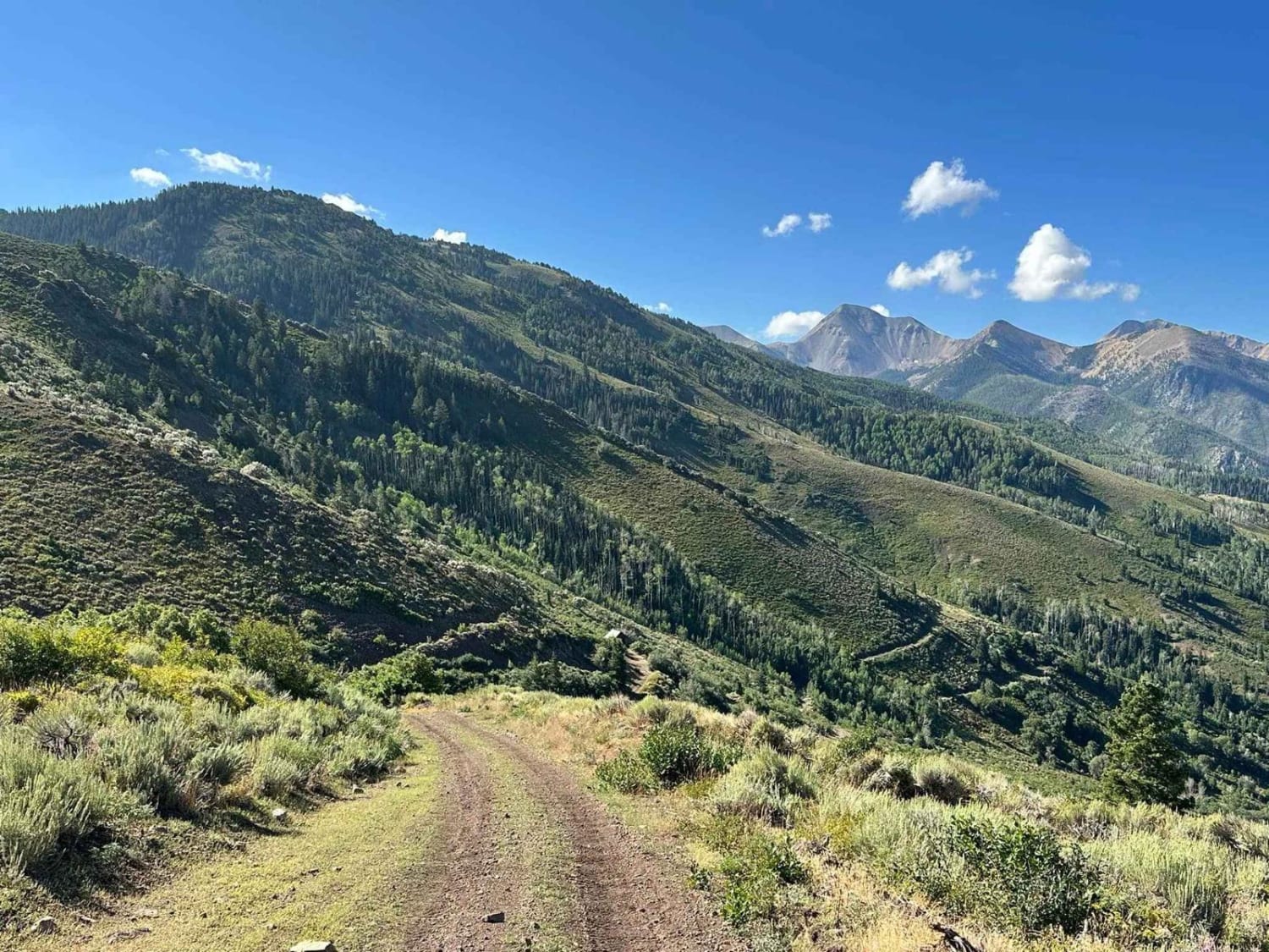
From Mill Canyon, this trail runs west and then southeast, climbing about 1,400 feet where it intersects with Ridge Trail. The lower portion running west takes you on a ledge trail through the woods above…
Learn more about Tibble Fork (2041)
Total Miles
3.2
Tech Rating
2 Easy
Best Time
Summer, Fall
Learn more about Timber Canyon Trail
Timber Canyon Trail

Timber Canyon Trail

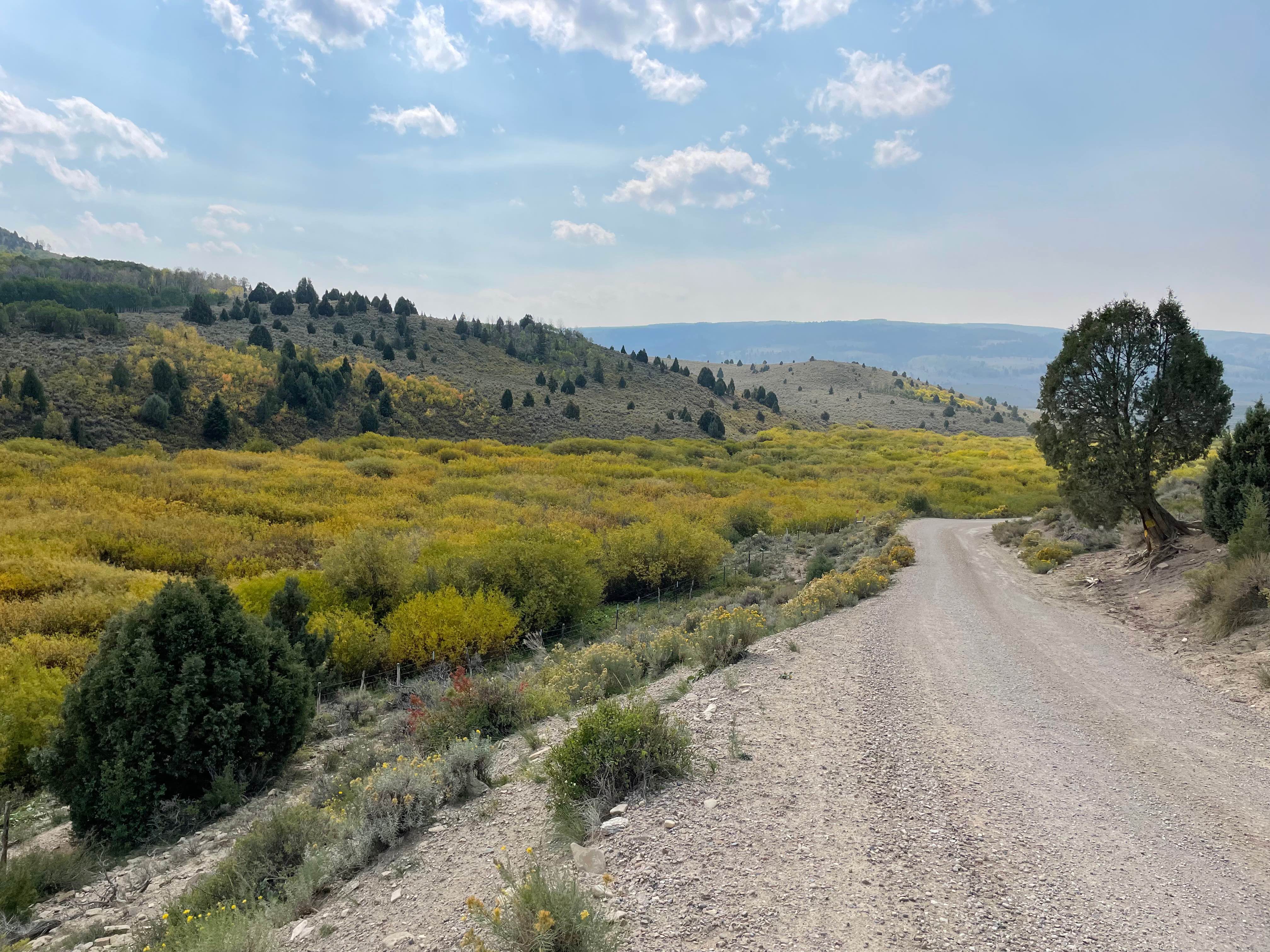
Scenic, relaxing route connecting Hwy 6 (near Soldier Summit) to Hwy 40 (near Duchesne). Trail follows the Right Fork of the White River early on, and the Strawberry River toward the end.Scenery includes dramatic rocky…
Learn more about Timber Canyon Trail
Total Miles
18.0
Tech Rating
2 Easy
Best Time
Summer, Fall
Learn more about Timpooneke Road
Timpooneke Road

Timpooneke Road

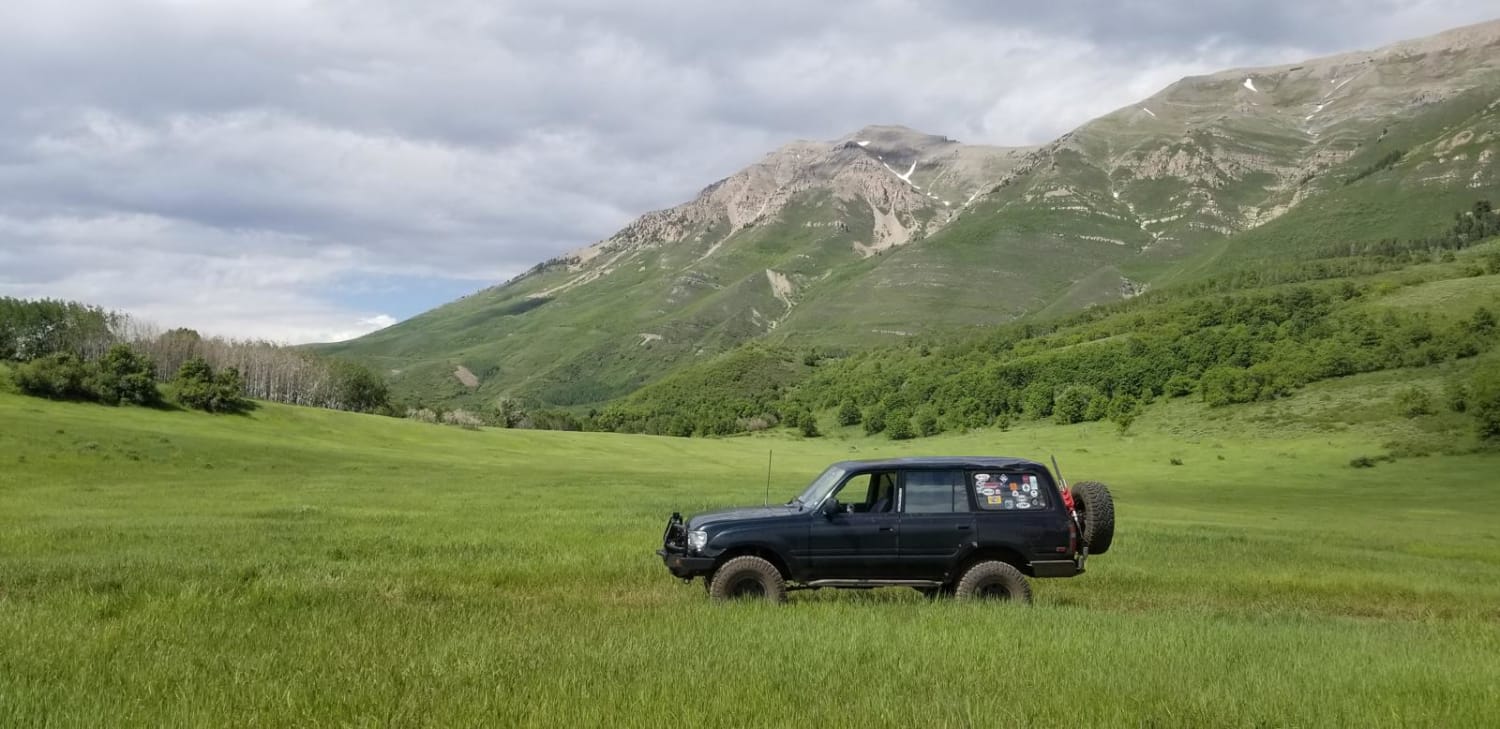
This is a high-altitude Uinta-Wasatch-Cache National Forest road starting at the back of the Timpooneke Campground and wrapping around the face of the Timpanogos Wilderness Area. It is approximately 19 miles round trip and a…
Learn more about Timpooneke Road
Total Miles
8.4
Tech Rating
4 Easy
Best Time
Spring, Summer, Fall
Learn more about Timpooneke to Chris' Flat (2151)
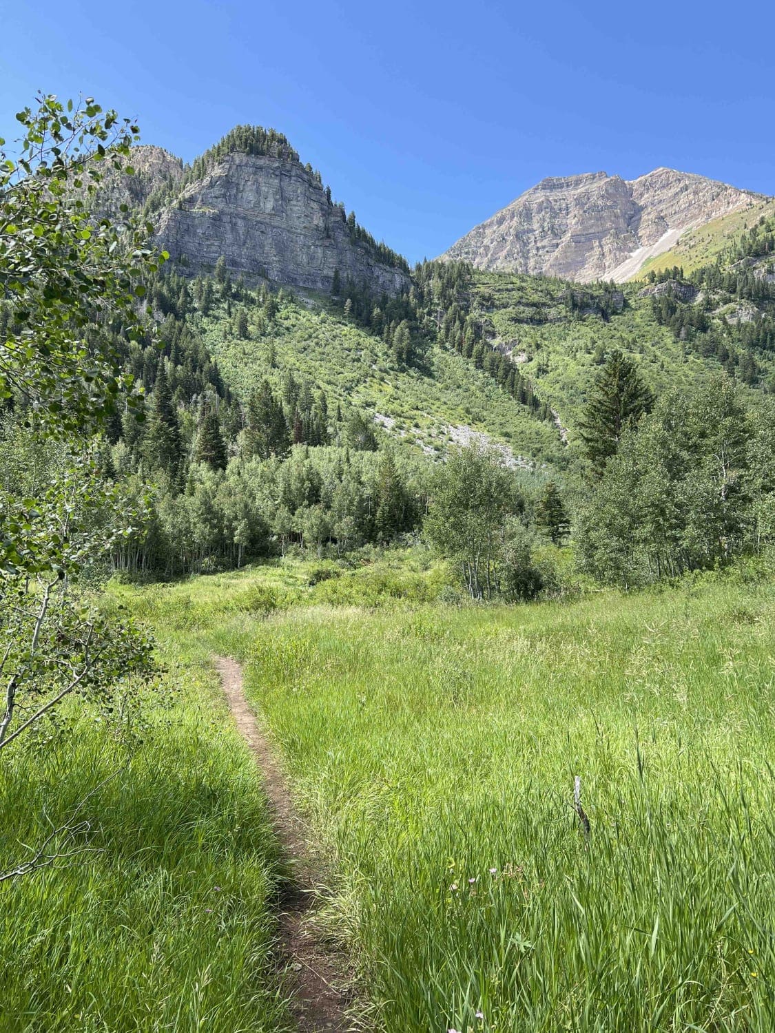
Timpooneke to Chris' Flat (2151)

Timpooneke to Chris' Flat (2151)

This single-track trail connects the Timpanooke parking lot to Timpooneke Forest Road. From the parking lot riding west, the trail climbs to the next intersection with Bear Canyon Spur and features several big rock sections.…
Learn more about Timpooneke to Chris' Flat (2151)
Total Miles
4.3
Tech Rating
5 Moderate
Best Time
Summer, Fall
Learn more about Tip Top Road
Tip Top Road

Tip Top Road

On its east end, this trail starts at the Paiute ATV Trail-Silver King Mine to Fremont State Park Loop trail (Kimberly Road), which shows as a 50-inch trail--but it's not. It's a full-size trail. There…
Learn more about Tip Top Road
Total Miles
3.0
Tech Rating
3 Easy
Best Time
Summer, Fall
Learn more about TNT
TNT

TNT

TNT is a one-third mile point-to-point trail rated 9 of 10 located within the Sand Mountain Open Off-Highway Vehicle Area. Although usually referred to as Sand Hollow this is not part of the state park…
Learn more about TNT
Total Miles
0.3
Tech Rating
9 Difficult
Best Time
Spring, Summer, Fall, Winter
Learn more about TNT Extended
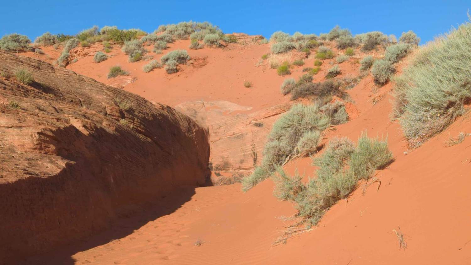
TNT Extended

TNT Extended

If the TNT trail wasn't challenging enough, the crawler community had to figure out how to make it more difficult and TNT Extended was born. TNT Extended is a 0.8-mile point-to-point trail rated 9 of…
Learn more about TNT Extended
Total Miles
0.8
Tech Rating
9 Difficult
Best Time
Spring, Summer, Fall, Winter
Learn more about Toll Road to Steve's Pass
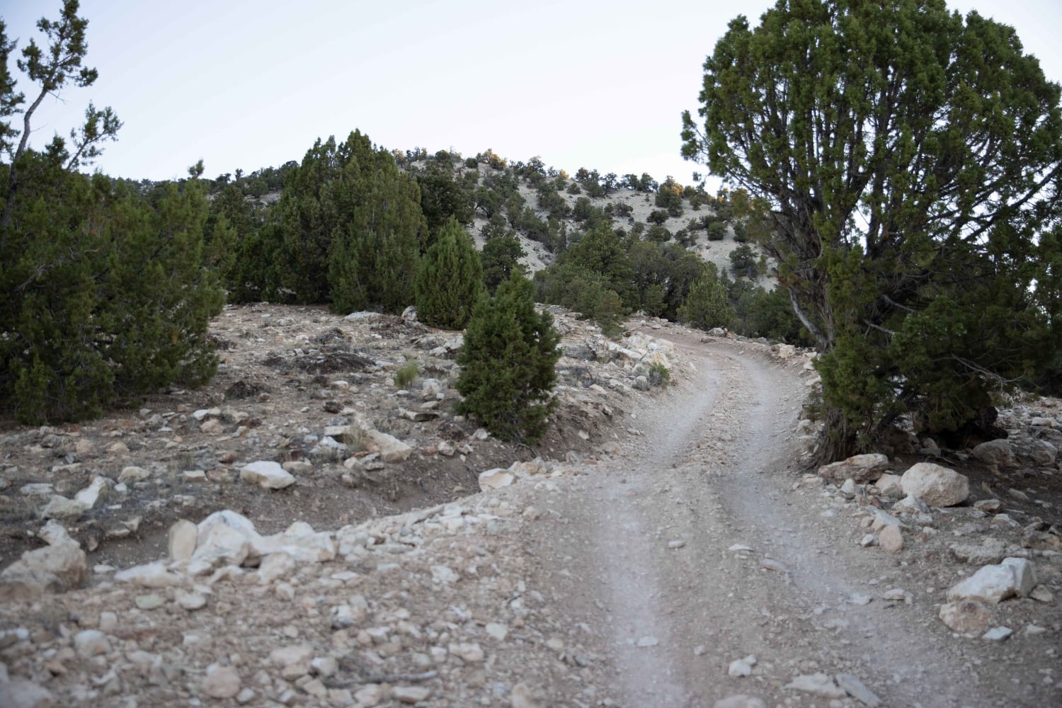
Toll Road to Steve's Pass

Toll Road to Steve's Pass

The Southern trail head is approximately 5 miles East of Salina, UT. Access is off the I-70 frontage road where access can be made via to small tunnels under the freeway. It is not a…
Learn more about Toll Road to Steve's Pass
Total Miles
6.3
Tech Rating
3 Easy
Best Time
Spring, Summer, Fall
Learn more about Tommy Creek Loop 1
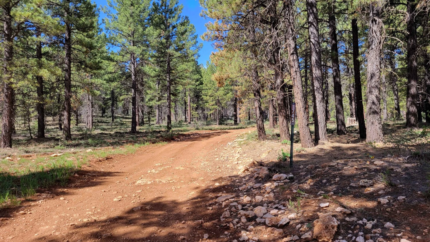
Tommy Creek Loop 1

Tommy Creek Loop 1

This nearly 3-mile trail is open to SXS or smaller machines and has some slightly challenging sections. There are some deep erosion areas (ruts) - one of which had water present, large rocky sections to…
Learn more about Tommy Creek Loop 1
Total Miles
2.7
Tech Rating
4 Moderate
Best Time
Fall, Summer
Learn more about Tommy Loop Access
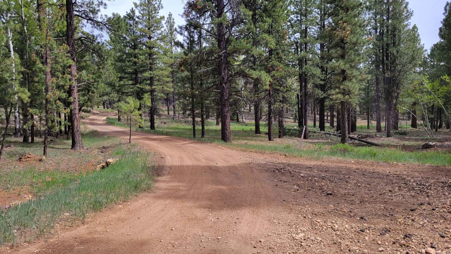
Tommy Loop Access

Tommy Loop Access

This short trail connects from Tommy Loop trail to USFS Rd 067 (Mammoth Creek Road). There were camp spots noted at both ends of the trail, so full-sized vehicles (and campers) are able to drive…
Learn more about Tommy Loop Access
Total Miles
1.3
Tech Rating
2 Easy
Best Time
Fall, Summer
Learn more about Tommy Loop Connector
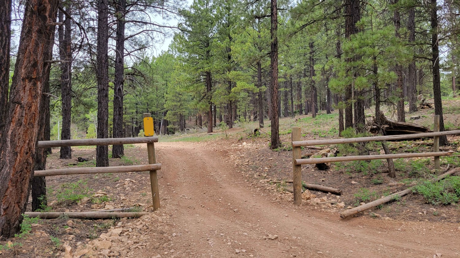
Tommy Loop Connector

Tommy Loop Connector

This quick, one-mile trail connects Tommy Loop and Markagunt Plateau trails. Open to SXS or smaller machines. There are some small erosion spots (ruts) and a few loose rocky sections throughout the trail. Some of…
Learn more about Tommy Loop Connector
Total Miles
1.1
Tech Rating
2 Easy
Best Time
Fall, Summer
Learn more about Tommy Loop to Henrie Knolls
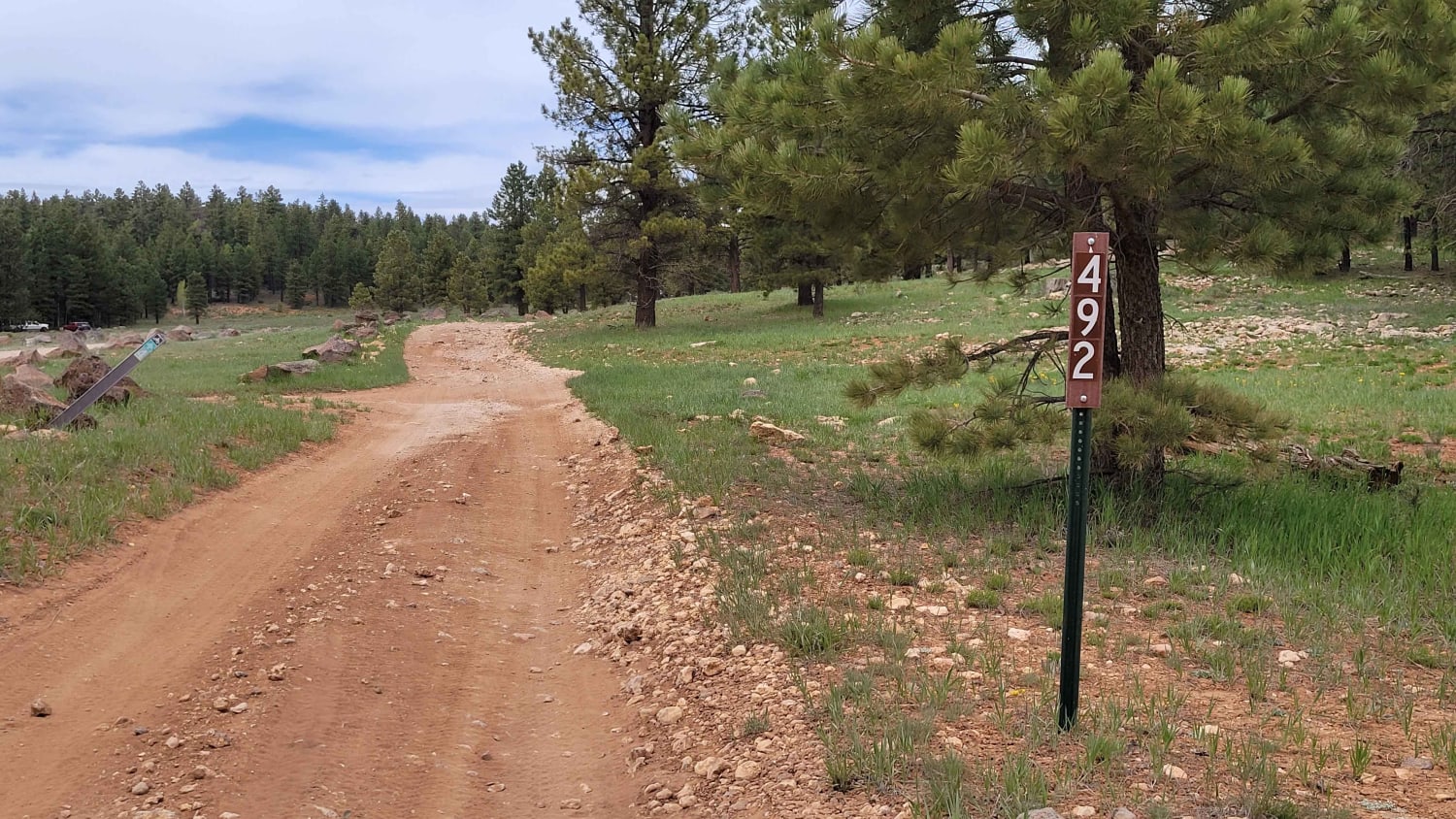
Tommy Loop to Henrie Knolls

Tommy Loop to Henrie Knolls

This five-mile loop weaves and winds its way through the Dixie National Forest. Primitive camping was noted along the southern part (Tommy Loop) of the route, so it is open to all sized vehicles. There…
Learn more about Tommy Loop to Henrie Knolls
Total Miles
5.0
Tech Rating
3 Easy
Best Time
Summer, Fall
Learn more about Toms Canyon
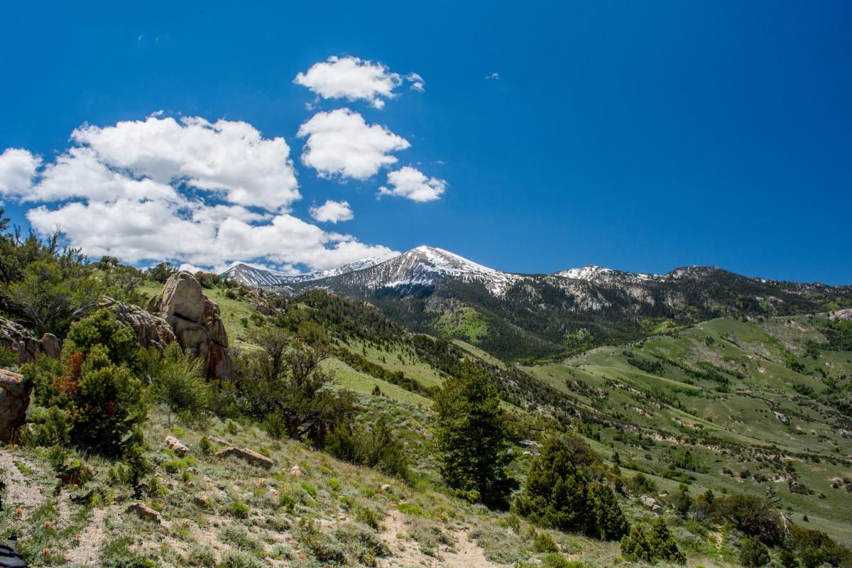
Toms Canyon

Toms Canyon

Tom's Canyon is an ATV/Jeep trail in the Deep Creek Mountains. The Deeps are south of Wendover and are the tallest range in the West Desert. They rise 7,800 feet from the desert to heights…
Learn more about Toms Canyon
Total Miles
10.1
Tech Rating
3 Easy
Best Time
Spring, Summer, Fall, Winter
Learn more about top of the hill
top of the hill

top of the hill

This trail will take you up a rocky trail to the top of the hill, where you can enjoy great views of the valleys below. Its a fairly simple trail that you can do on…
Learn more about top of the hill
Total Miles
10.4
Tech Rating
2 Easy
Best Time
Summer
Learn more about Top of the World
Top of the World

Top of the World

Top of the World is a very popular trail located outside Moab. Its relatively easy as far as Moab is concerned, and the scenery factor is very high. Its also easily done in a half…
Learn more about Top of the World
Total Miles
10.6
Tech Rating
5 Moderate
Best Time
Summer, Fall
Learn more about Top of the World Loop
Top of the World Loop

Top of the World Loop

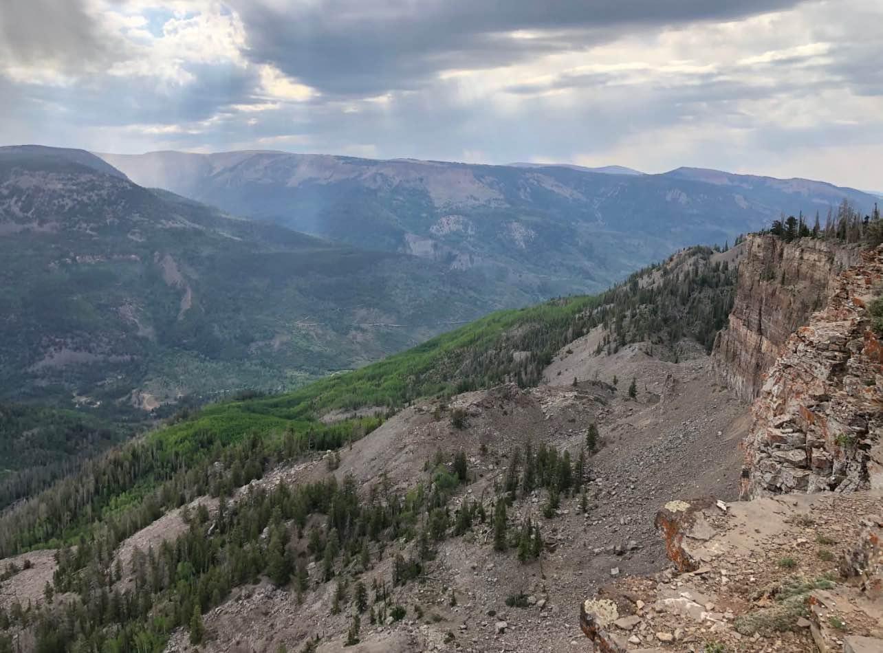
Top of the World is a very popular trail located outside Moab. It's relatively easy, as far as Moab is concerned, and the scenery factor is very high. It's also easily done in a half…
Learn more about Top of the World Loop
Total Miles
13.9
Tech Rating
2 Easy
Best Time
Spring, Summer, Fall
Learn more about Toquer Fun Loop
Toquer Fun Loop

Toquer Fun Loop

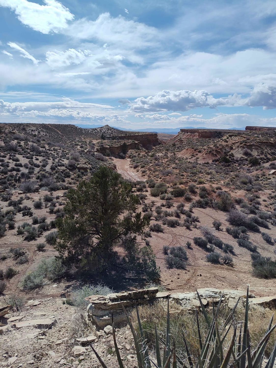
This is one of a few fun side loops off of the Twister trail. This is a single track only and can be done by anyone with a reasonable intermediate skill level. However, it's not…
Learn more about Toquer Fun Loop
Total Miles
2.7
Tech Rating
5 Moderate
Best Time
Fall, Winter, Summer, Spring
Learn more about Toquerville Communication Towers Overlook
Toquerville Communication Towers Overlook

Toquerville Communication Towers Overlook

Toquerville Communication Towers Overlook is a 1.7-mile point-to-point trail rated 3 of 10 located in Washington County, Utah. The Toquerville Communications Tower Overlook trail is a destination trail on the way up to visiting Toquerville…
Learn more about Toquerville Communication Towers Overlook
Total Miles
1.7
Tech Rating
3 Easy
Best Time
Spring, Summer, Fall, Winter
Learn more about Toquerville Falls
Toquerville Falls

Toquerville Falls

Toquerville Falls is a fairly easy trail that is marked by an amazing set of waterfalls on La Verkin Creek. It begins in the town of Toquerville, just north of St. George. The road is…
Learn more about Toquerville Falls
Total Miles
7.3
Tech Rating
3 Easy
Best Time
Spring, Summer, Fall, Winter
Learn more about Toquerville Twister Lower Section
Toquerville Twister Lower Section

Toquerville Twister Lower Section

This will start you at the end of a wash. There's some good parking nearby since it's a trailhead area. Generally, this is a fairly easy section of trail, with a few hill climbs and…
Learn more about Toquerville Twister Lower Section
Total Miles
2.4
Tech Rating
5 Moderate
Best Time
Spring, Summer, Fall, Winter

The onX Offroad Difference

onX Offroad combines trail photos, descriptions, difficulty ratings, width restrictions, seasonality, and more in a user-friendly interface. Available on all devices, with offline access and full compatibility with CarPlay and Android Auto. Discover what you’re missing today!