Off-Road Trails in Baja California
Discover off-road trails in Baja California
Learn more about Middle Cross

Middle Cross
Total Miles
14.4
Tech Rating
Easy
Best Time
Spring, Summer, Fall, Winter
Learn more about Middle North

Middle North
Total Miles
7.4
Tech Rating
Easy
Best Time
Spring, Summer, Fall, Winter
Learn more about Middle South

Middle South
Total Miles
9.6
Tech Rating
Easy
Best Time
Spring, Summer, Fall, Winter
Learn more about Mike's Ranch Road to Lazaro Cardenas

Mike's Ranch Road to Lazaro Cardenas
Total Miles
12.1
Tech Rating
Easy
Best Time
Spring, Fall, Winter, Summer
Learn more about Military Checkpoint to Jesus Maria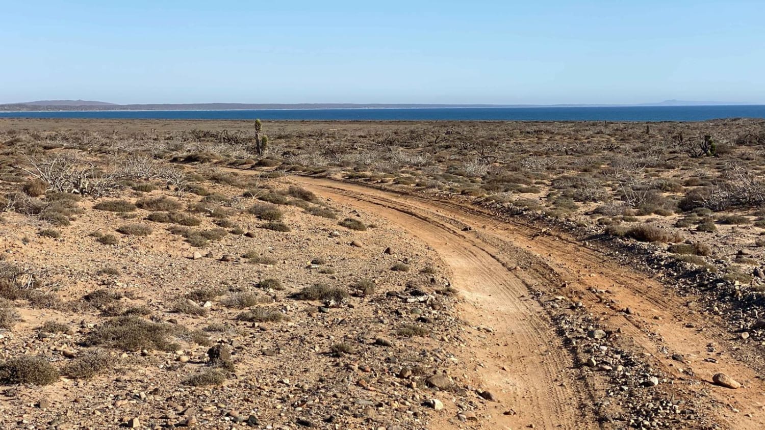

Military Checkpoint to Jesus Maria
Total Miles
18.1
Tech Rating
Easy
Best Time
Spring, Summer, Fall, Winter
Learn more about Mision San Borja 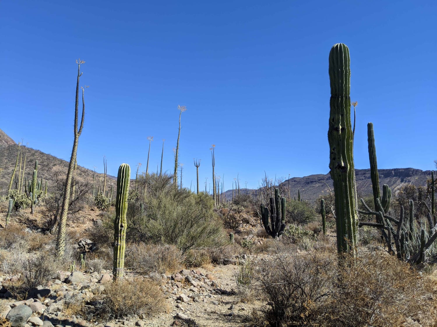

Mision San Borja
Total Miles
42.5
Tech Rating
Easy
Best Time
Spring, Fall, Winter
Learn more about Mision Santa Gertrudis La Magna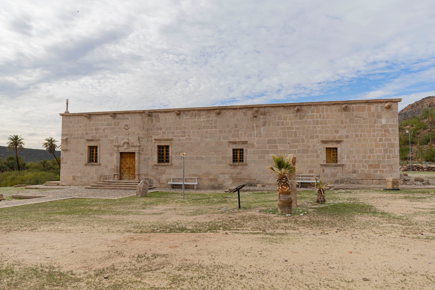

Mision Santa Gertrudis La Magna
Total Miles
23.8
Tech Rating
Moderate
Best Time
Spring, Summer, Fall, Winter
Learn more about Mision Santa Maria Crossover

Mision Santa Maria Crossover
Total Miles
5.7
Tech Rating
Easy
Best Time
Summer, Spring, Fall, Winter
Learn more about Mision Santo Domingo Canyon

Mision Santo Domingo Canyon
Total Miles
9.3
Tech Rating
Moderate
Best Time
Spring, Summer, Fall, Winter
Learn more about Monte Ceniza Nature Reserve

Monte Ceniza Nature Reserve
Total Miles
6.9
Tech Rating
Easy
Best Time
Spring, Summer, Winter, Fall
Learn more about Mountains Above Colonia Sante Fe

Mountains Above Colonia Sante Fe
Total Miles
9.2
Tech Rating
Easy
Best Time
Spring, Fall, Winter, Summer
Learn more about Mountains of Vicente Guerrero

Mountains of Vicente Guerrero
Total Miles
9.4
Tech Rating
Easy
Best Time
Spring, Summer, Fall, Winter
Learn more about North of San Felipe 

North of San Felipe
Total Miles
8.5
Tech Rating
Easy
Best Time
Spring, Fall, Winter
Learn more about North or East Connection

North or East Connection
Total Miles
6.2
Tech Rating
Easy
Best Time
Summer, Fall, Winter, Spring
Learn more about Octillo y Cacti Wash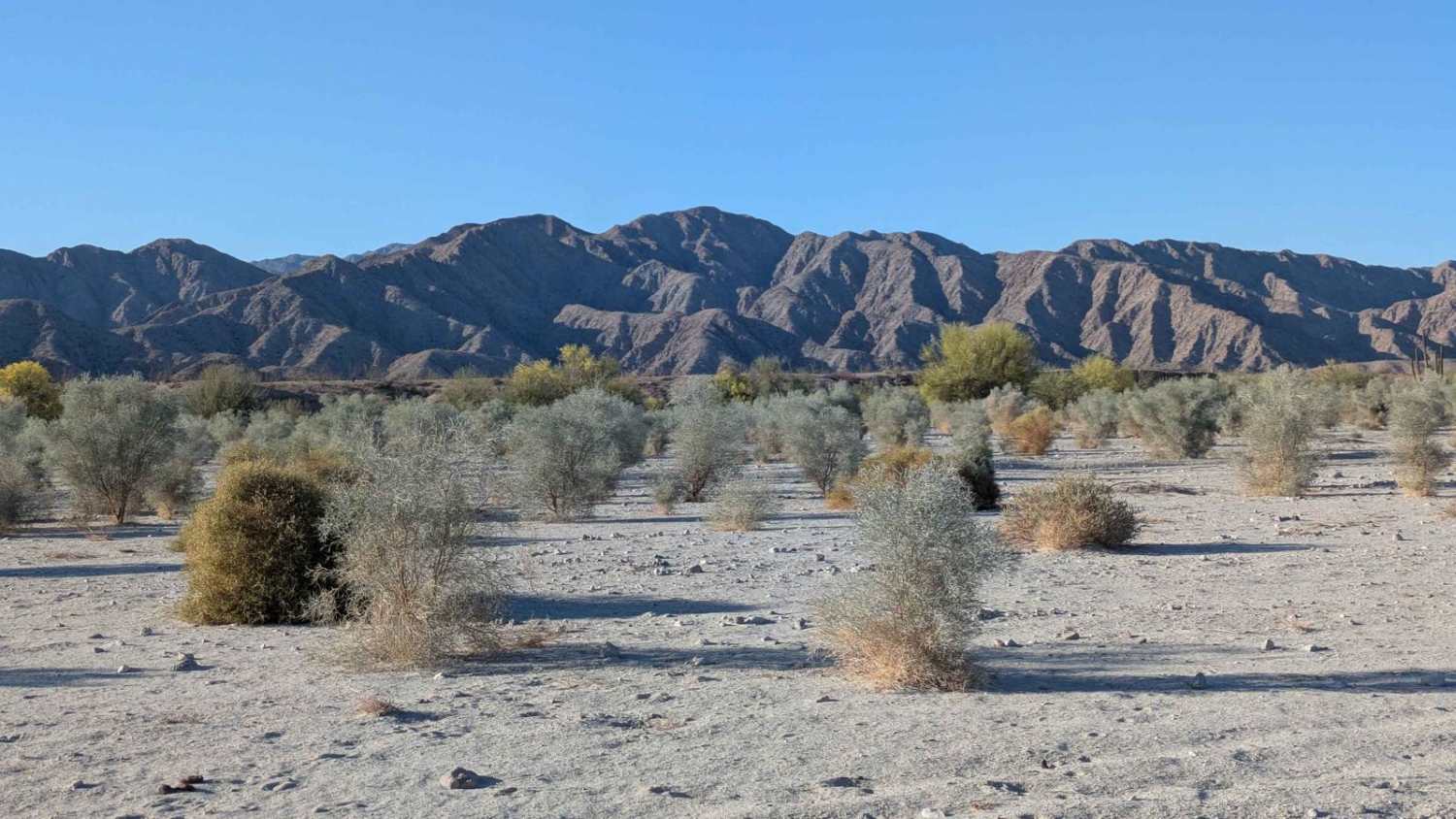

Octillo y Cacti Wash
Total Miles
5.5
Tech Rating
Easy
Best Time
Winter, Summer, Spring
Learn more about Off Highway One

Off Highway One
Total Miles
9.9
Tech Rating
Easy
Best Time
Spring, Summer, Fall, Winter
Learn more about Old Checkpoint Loop

Old Checkpoint Loop
Total Miles
5.0
Tech Rating
Easy
Best Time
Spring, Summer, Fall, Winter
Learn more about Old El Compadre Loop

Old El Compadre Loop
Total Miles
6.7
Tech Rating
Easy
Best Time
Fall, Winter, Spring, Summer
Learn more about Old Race Route

Old Race Route
Total Miles
5.1
Tech Rating
Moderate
Best Time
Spring, Summer, Fall, Winter
Learn more about Old Road to Rancho Venados

Old Road to Rancho Venados
Total Miles
5.9
Tech Rating
Easy
Best Time
Spring, Summer, Fall
ATV trails in Baja California
Learn more about Bahia San Quintin

Bahia San Quintin
Total Miles
10.3
Tech Rating
Easy
Best Time
Spring, Summer, Winter
Learn more about Mision Santa Maria Dunes

Mision Santa Maria Dunes
Total Miles
6.5
Tech Rating
Moderate
Best Time
Spring, Summer, Fall, Winter
Learn more about 12 North Loop

12 North Loop
Total Miles
6.1
Tech Rating
Moderate
Best Time
Spring, Summer, Fall, Winter
Learn more about 12 South Loop

12 South Loop
Total Miles
10.0
Tech Rating
Easy
Best Time
Spring, Fall, Winter
UTV/side-by-side trails in Baja California
Learn more about Bahia San Quintin

Bahia San Quintin
Total Miles
10.3
Tech Rating
Easy
Best Time
Spring, Summer, Winter
Learn more about 12 North Loop

12 North Loop
Total Miles
6.1
Tech Rating
Moderate
Best Time
Spring, Summer, Fall, Winter
Learn more about 12 South Loop

12 South Loop
Total Miles
10.0
Tech Rating
Easy
Best Time
Spring, Fall, Winter
Learn more about Arbolitos Cove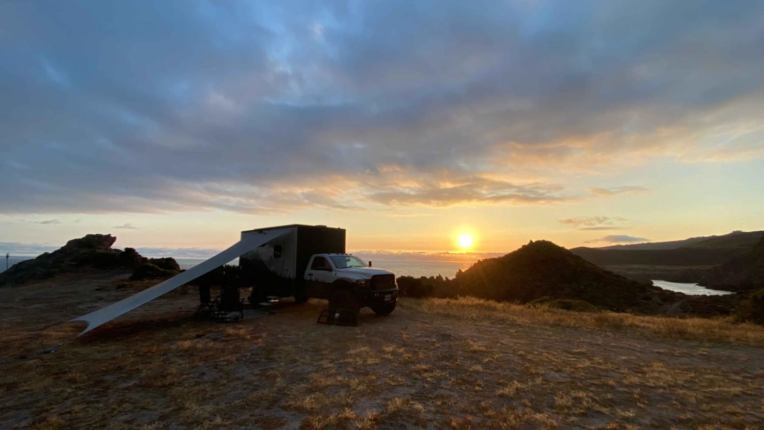

Arbolitos Cove
Total Miles
3.0
Tech Rating
Easy
Best Time
Spring, Summer, Fall, Winter
The onX Offroad Difference
onX Offroad combines trail photos, descriptions, difficulty ratings, width restrictions, seasonality, and more in a user-friendly interface. Available on all devices, with offline access and full compatibility with CarPlay and Android Auto. Discover what you’re missing today!