Off-Road Trails in Baja California

Discover off-road trails in Baja California

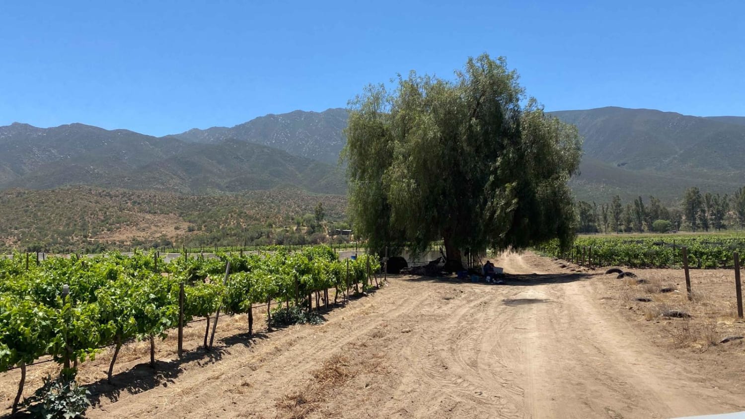
Learn more about Enchanted Valley to Mina Marmolito
Enchanted Valley to Mina Marmolito

Enchanted Valley to Mina Marmolito

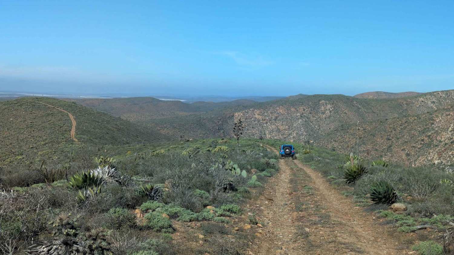
This trail offers a captivating experience as you journey through an impressive Cardon forest, making it likely the most remarkable sight of its kind. Some Cardon cacti reach over 40 feet in height, leaving a…
Learn more about Enchanted Valley to Mina Marmolito
Total Miles
10.9
Tech Rating
3 Easy
Best Time
Spring, Summer, Winter
Learn more about Erendira Highway to Coastal Route South
Erendira Highway to Coastal Route South

Erendira Highway to Coastal Route South

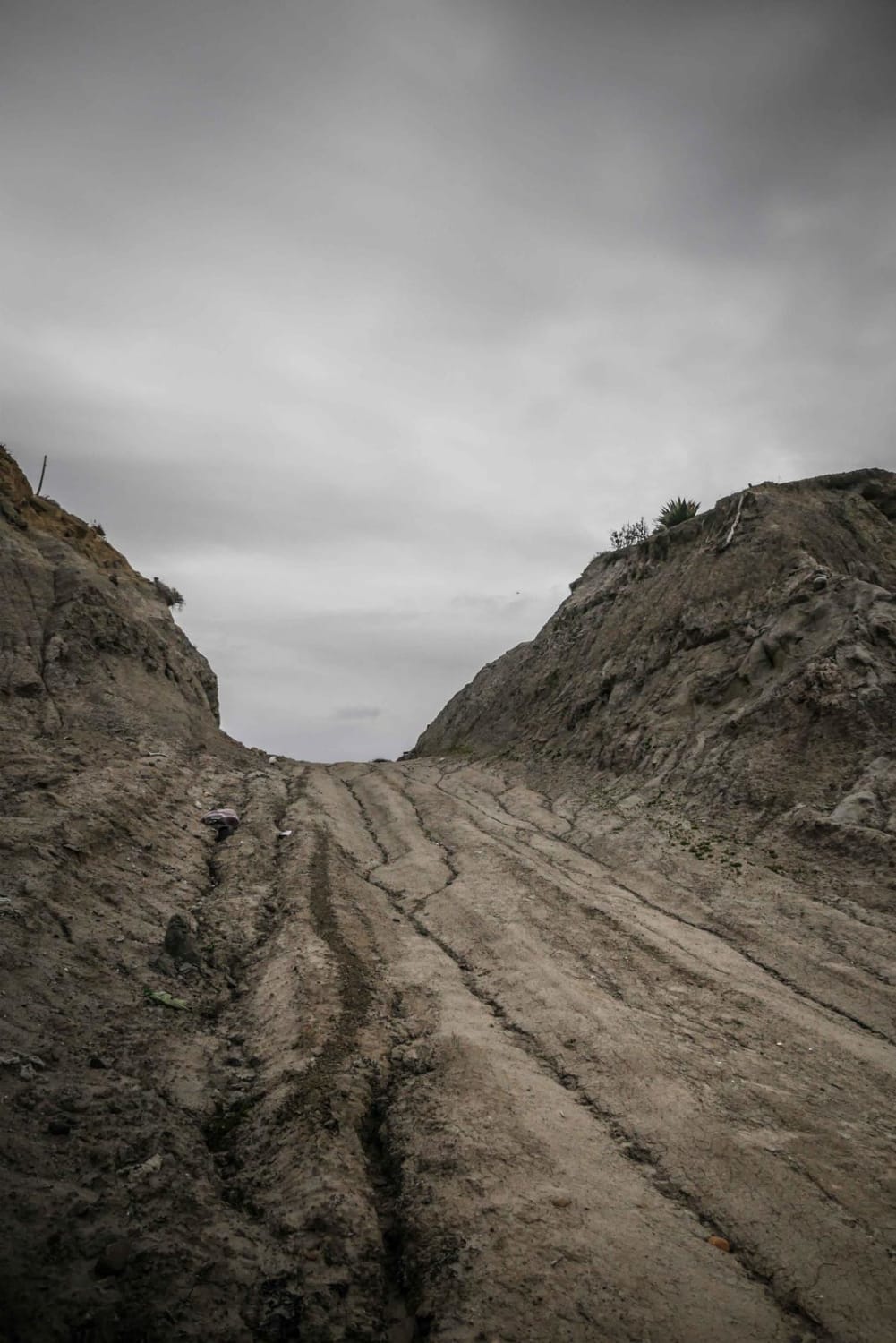
Embarking on this trail immediately sets a challenging tone, as the initial ascent is steep and rugged, bearing the scars of Baja 500 races, with sections that can be particularly rough. However, after the demanding…
Learn more about Erendira Highway to Coastal Route South
Total Miles
10.2
Tech Rating
3 Easy
Best Time
Spring, Summer, Fall, Winter
Learn more about Exploring Northwest of Heroes de la Independencia
Exploring Northwest of Heroes de la Independencia

Exploring Northwest of Heroes de la Independencia

This scenic trail starts and ends at Mexico 3, following the borders of ranches near Heroes de la Independencia. While most vehicles can navigate it with ease, there's one steep section with a slight off-camber…
Learn more about Exploring Northwest of Heroes de la Independencia
Total Miles
4.6
Tech Rating
1 Easy
Best Time
Spring, Fall, Winter, Summer
Learn more about Fresas and Volcanoes
Fresas and Volcanoes

Fresas and Volcanoes

This alternative route has been established to bypass the jarring washboard road leading to La Chorera on the way to Punta Mazo Reserve. By taking the marked fork to the right along the trail, you…
Learn more about Fresas and Volcanoes
Total Miles
5.7
Tech Rating
1 Easy
Best Time
Spring, Summer, Fall, Winter
Learn more about Hereos to Santa Catarina Trails
Hereos to Santa Catarina Trails

Hereos to Santa Catarina Trails

This short stretch primarily consists of a graded dirt road, easily accessible by any high-clearance 2WD vehicle. While there are occasional short sections of the Baja 500 race track with sand, overall, it's a straightforward…
Learn more about Hereos to Santa Catarina Trails
Total Miles
5.2
Tech Rating
1 Easy
Best Time
Spring, Fall, Winter, Summer
Learn more about Highway One to the Coastal Route
Highway One to the Coastal Route

Highway One to the Coastal Route

Starting near San Vicente on Highway 1, this route weaves through several ranches and scenic canyons before reaching the coast and heading south toward Punta Colonet. Although much of the road is well-maintained and offers…
Learn more about Highway One to the Coastal Route
Total Miles
13.2
Tech Rating
2 Easy
Best Time
Spring, Summer, Fall, Winter
Learn more about Intermittent
Intermittent

Intermittent

Rough, rocky road between Laguna Chapala (Hwy 1 / Hwy 5 junction) and the Pacific Coast. This passes through an unnamed dry lakebed labeled as Laguna Intermittent. This lakebed and the silt beds nearby would…
Learn more about Intermittent
Total Miles
30.4
Tech Rating
3 Easy
Best Time
Spring, Fall, Winter
Learn more about Kenton Volcano Summit
Kenton Volcano Summit

Kenton Volcano Summit

The trail is relatively easy, but you will encounter many loose rocks throughout it. The trek goes from sea level up to 866 feet at the summit of Volcano Kenton. The steep charge to the…
Learn more about Kenton Volcano Summit
Total Miles
3.9
Tech Rating
3 Easy
Best Time
Spring, Fall, Winter
Learn more about La Bocana
La Bocana

La Bocana

The dirt track commences at the junction of highway one, in the quaint town of Ejido El Ejusco. From there, it winds its way through the rugged mountains and picturesque farmlands, ultimately leading to the…
Learn more about La Bocana
Total Miles
16.9
Tech Rating
1 Easy
Best Time
Spring, Summer, Fall, Winter
Learn more about La Bocana to San Jose
La Bocana to San Jose

La Bocana to San Jose

This off-road trail offers a rugged journey, starting along the edges of a ranch where low-hanging trees may require trimming, though an alternative go-around is available to the left. The trail then ascends steadily for…
Learn more about La Bocana to San Jose
Total Miles
7.9
Tech Rating
3 Easy
Best Time
Spring, Fall, Winter, Summer
Learn more about La Lobera
La Lobera

La Lobera

This is a short dirt road from the Mex 1 highway to the scenic viewpoint of La Lobera near El Rosario, Baja California. La Lobera is a natural cave on the coastline that looks like…
Learn more about La Lobera
Total Miles
3.2
Tech Rating
3 Easy
Best Time
Spring, Fall, Winter
Learn more about La Mision - Valle de Guadalupe
La Mision - Valle de Guadalupe

La Mision - Valle de Guadalupe

Traveling from La Mision to wine country in Valle de Guadalupe. This route passes farmland, valleys, and great views of the pacific ocean, at points and terrain, varies from rocky sections to smooth dirt roads.…
Learn more about La Mision - Valle de Guadalupe
Total Miles
25.5
Tech Rating
2 Easy
Best Time
Spring, Summer, Fall, Winter
Learn more about La Ponderosa Ranch Moto Trails
La Ponderosa Ranch Moto Trails

La Ponderosa Ranch Moto Trails

The Ponderosa Ranch boasts a network of marked motorcycle trails spanning 40-50 miles, making it a favorite destination for locals from Mexicali and surrounding areas. Visitors flock here for events, camping, and to cool off…
Learn more about La Ponderosa Ranch Moto Trails
Total Miles
5.4
Tech Rating
2 Easy
Best Time
Spring, Fall, Winter, Summer
Learn more about La Providencia to Iglesia de la Playa
La Providencia to Iglesia de la Playa

La Providencia to Iglesia de la Playa

This route provides easy access for all types of vehicles from Highway One to the Coastal Trail. To embark on this route, locate the road adjacent to the surf shop near the intersection of Highway…
Learn more about La Providencia to Iglesia de la Playa
Total Miles
5.4
Tech Rating
1 Easy
Best Time
Spring, Summer, Fall, Winter
Learn more about La Rumorosa to Laguna Hanson Trail
La Rumorosa to Laguna Hanson Trail

La Rumorosa to Laguna Hanson Trail

Starting in the pueblo of La Rumorosa, a stop at the famous restaurant and bakery Las Altura, just 500 meters from the trailhead, is highly recommended. The trail begins at the highway, currently a mix…
Learn more about La Rumorosa to Laguna Hanson Trail
Total Miles
22.1
Tech Rating
1 Easy
Best Time
Spring, Summer, Fall, Winter
Learn more about La Rumorosa to Mesa Colorado
La Rumorosa to Mesa Colorado

La Rumorosa to Mesa Colorado

The journey begins on a well-kept dirt road that gradually transforms into a more rugged path upon reaching the gate of Rancho Club Hacienda. To continue towards Mesa Colorado, simply inform the guard of your…
Learn more about La Rumorosa to Mesa Colorado
Total Miles
8.4
Tech Rating
2 Easy
Best Time
Spring, Fall, Winter
Learn more about La Rumorosa Trail
La Rumorosa Trail

La Rumorosa Trail

Historic road through the Sierra Juarez that connects the town of La Rumorosa down to the desert below. The 25-mile route contains a dozen tight switchbacks (a couple requiring three-point turns), a couple of tight…
Learn more about La Rumorosa Trail
Total Miles
24.3
Tech Rating
6 Moderate
Best Time
Spring, Fall
Learn more about Laguna Hanson Road Detour
Laguna Hanson Road Detour

Laguna Hanson Road Detour

This trail offers an alternative route around the dry lake bed section of Laguna Hanson Road. It provides a scenic diversion through a picturesque pine forest and is suitable for any high-clearance vehicle in dry…
Learn more about Laguna Hanson Road Detour
Total Miles
5.7
Tech Rating
1 Easy
Best Time
Spring, Summer, Fall, Winter
Learn more about Laguna Hanson Route
Laguna Hanson Route

Laguna Hanson Route

This is the general route through the Sierra Juarez mountains in Baja, California that accesses Laguna Hanson and the Parque Nacional Constitucion de 1857. This is a relatively easy dirt road but can get muddy…
Learn more about Laguna Hanson Route
Total Miles
64.6
Tech Rating
2 Easy
Best Time
Summer, Fall
Learn more about Laguna Hanson to El Compadre
Laguna Hanson to El Compadre

Laguna Hanson to El Compadre

Departing from the main road to Laguna Hanson, the trail initially presents itself as a well-maintained dirt road, remaining smooth and manageable for the first few miles. However, once you veer right at the fork…
Learn more about Laguna Hanson to El Compadre
Total Miles
7.3
Tech Rating
3 Easy
Best Time
Spring, Summer, Fall, Winter

The onX Offroad Difference

onX Offroad combines trail photos, descriptions, difficulty ratings, width restrictions, seasonality, and more in a user-friendly interface. Available on all devices, with offline access and full compatibility with CarPlay and Android Auto. Discover what you’re missing today!