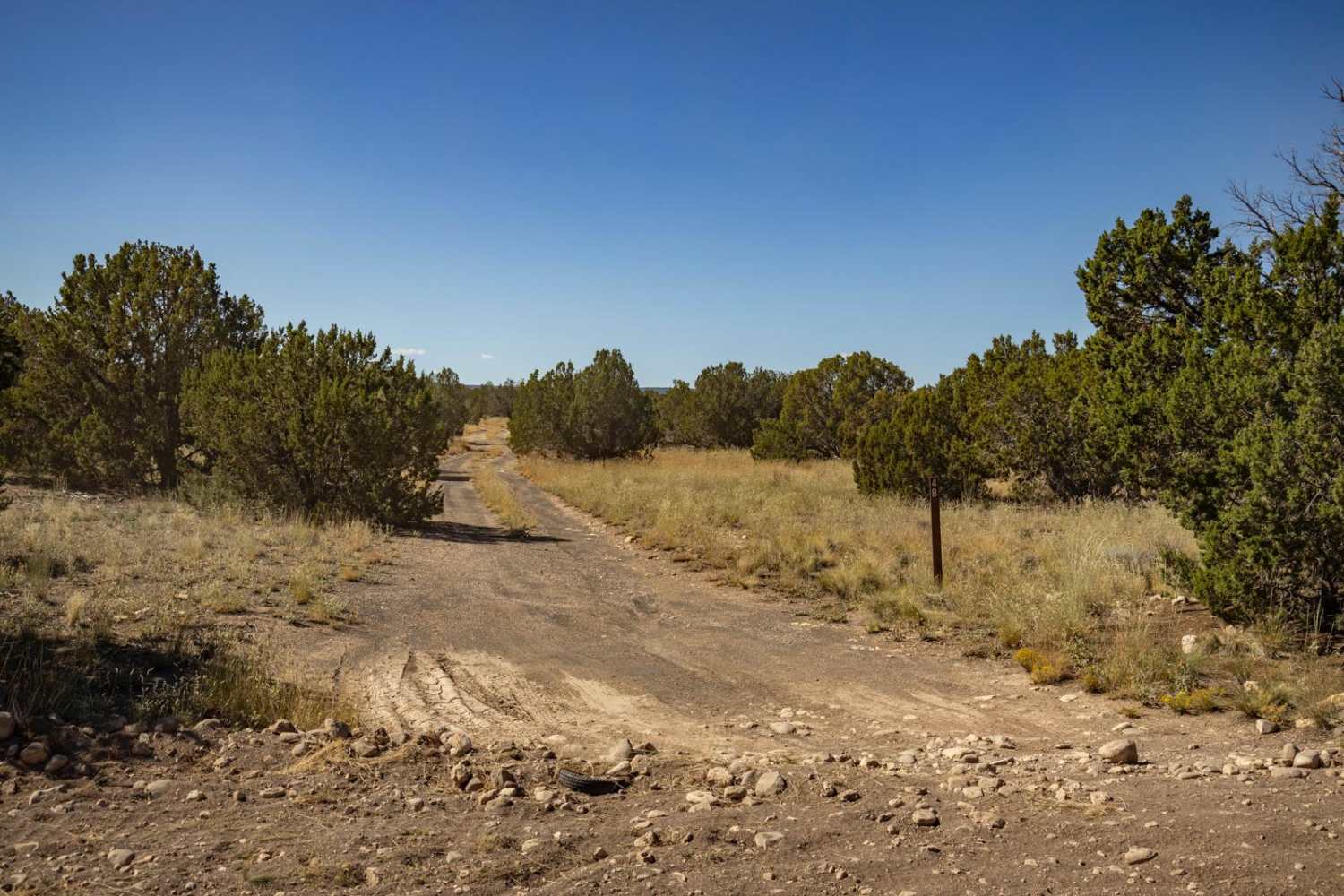
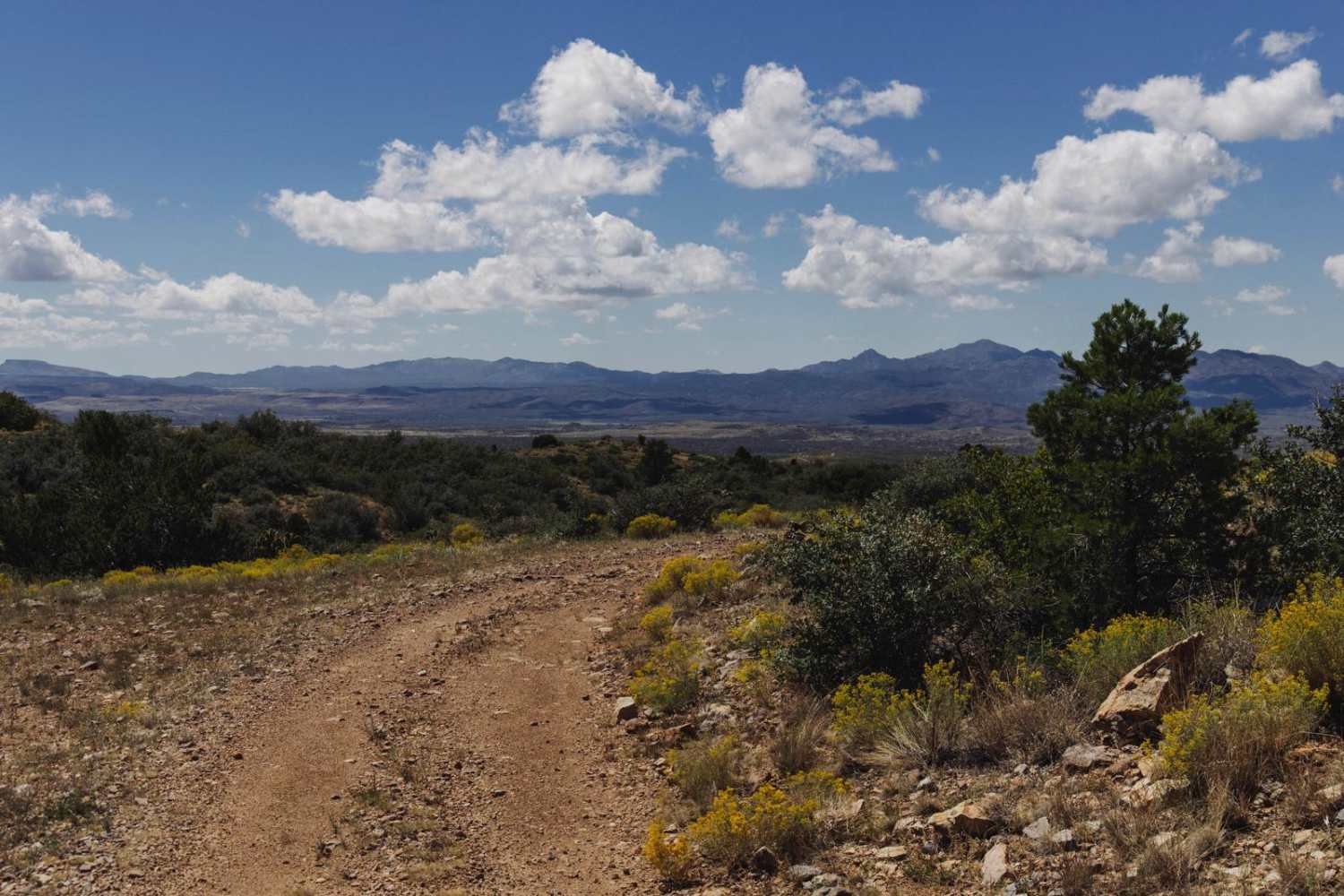
Off-Road Trails in Arizona

Discover off-road trails in Arizona

Learn more about 301
301

301

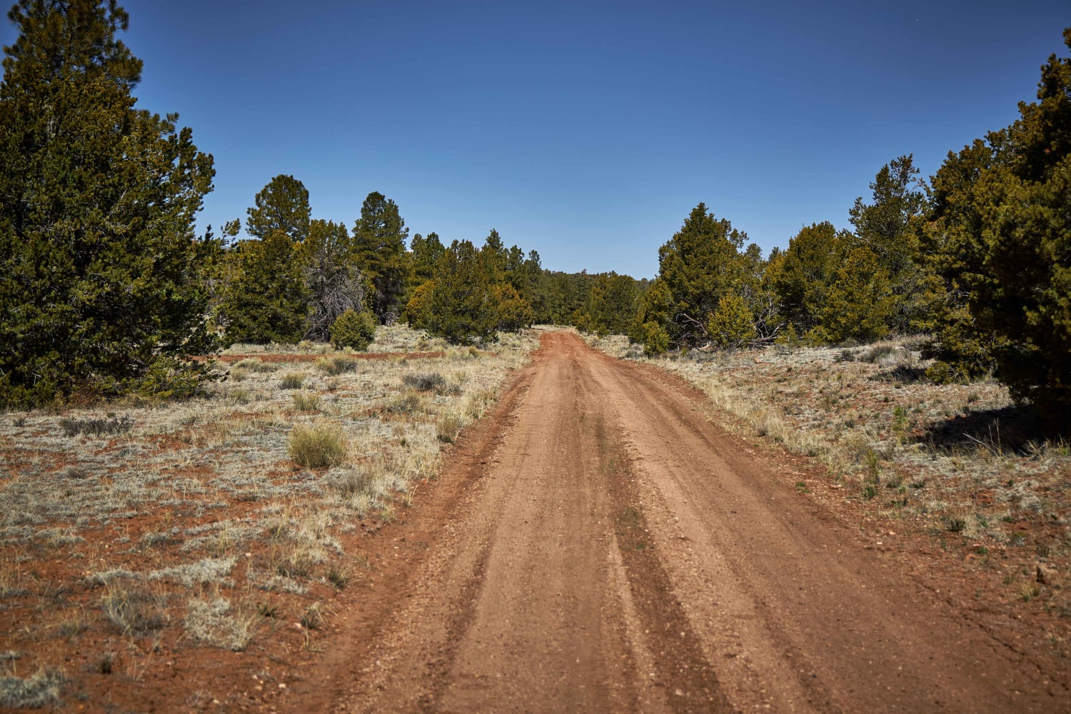
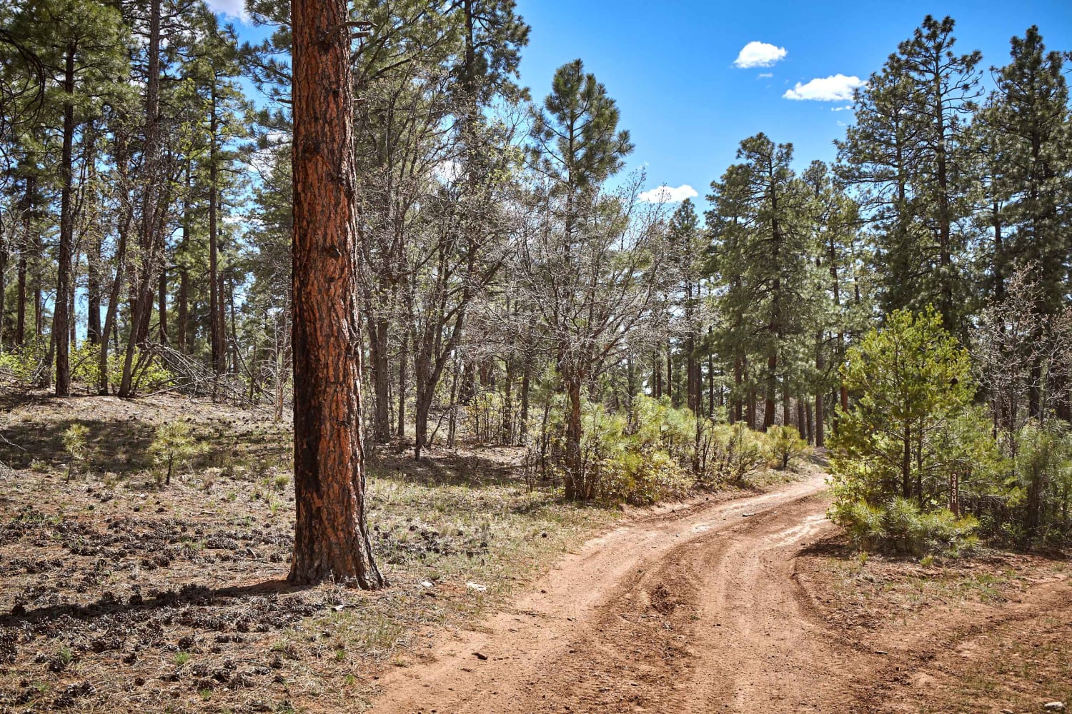
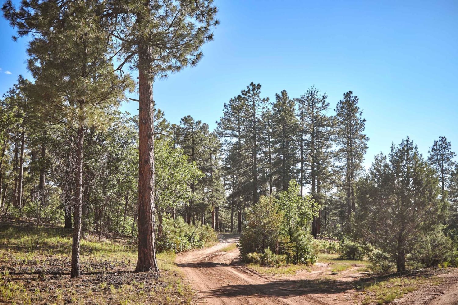
No obstacles exist on this lovely trail. This section of the 301 winds its way through the majestic forest of Ponderosa Pines. These trees are the lifeblood of this area of the Kaibab National Forest.…
Learn more about 301
Total Miles
3.3
Tech Rating
1 Easy
Best Time
Spring, Summer, Fall
Learn more about 303H
303H

303H

303H is a beautiful rolling single-track trail that runs along a pasture, providing views of cattle, and grazing. As this trail rolls through a healthy forest of Ponderosa Pine trees, you might see elk, deer,…
Learn more about 303H
Total Miles
2.4
Tech Rating
1 Easy
Best Time
Spring, Summer, Fall
Learn more about 305AH
305AH

305AH

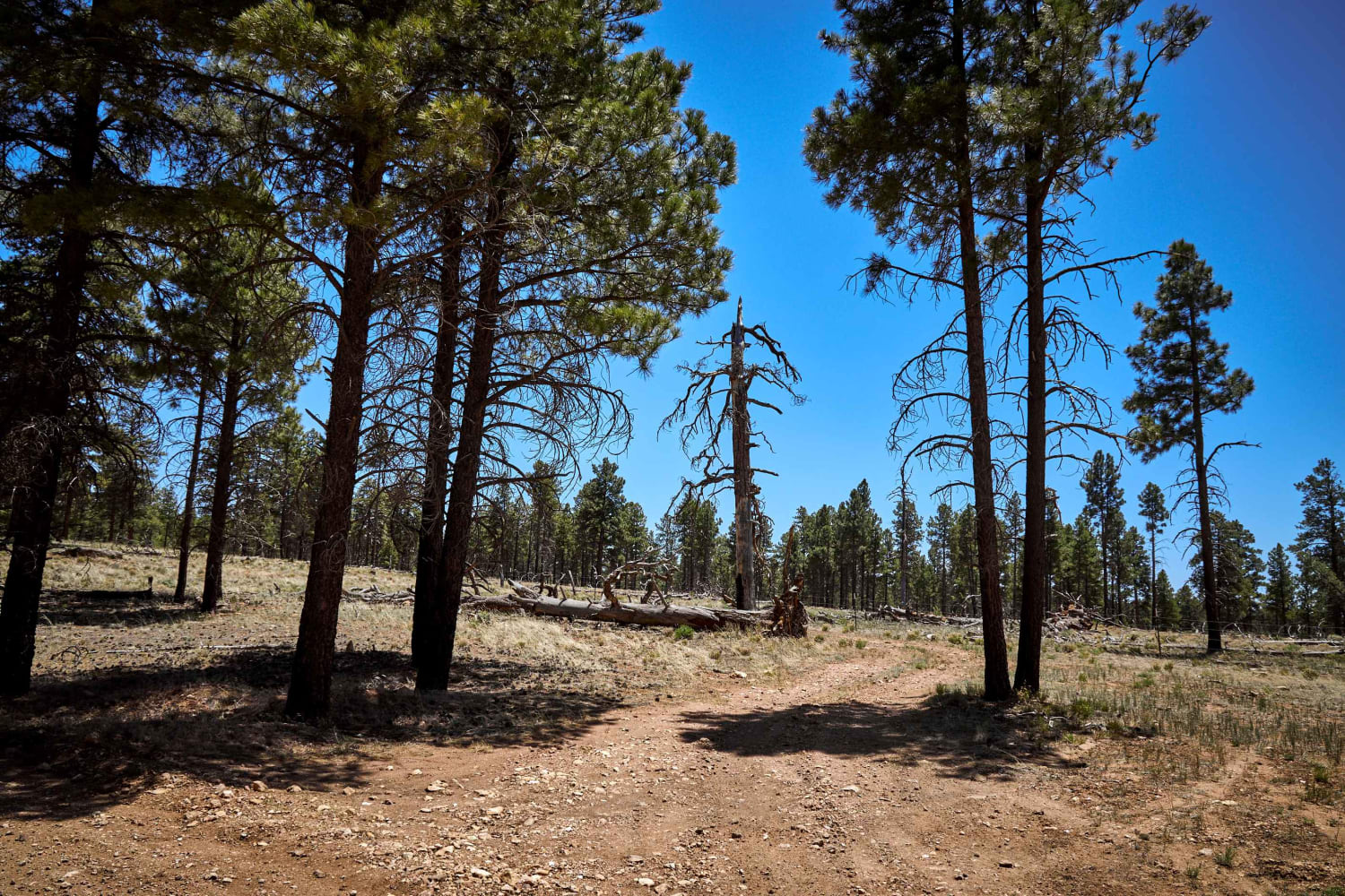
Forest Road 305AH starts as a rough, rocky track through a beautiful forest of Ponderosa Pines. This short trail leads through wildfire burn scars on single-lane dirt. Recent storms and wind have taken down a…
Learn more about 305AH
Total Miles
2.1
Tech Rating
2 Easy
Best Time
Spring, Summer, Fall
Learn more about 306J
306J

306J

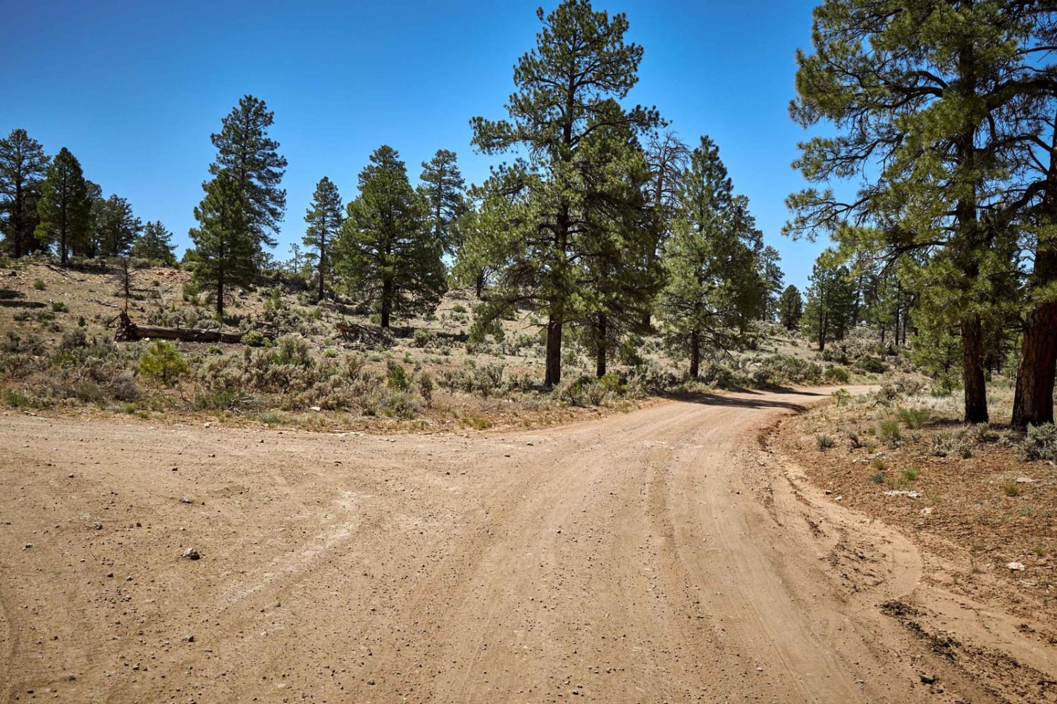
306J Trail is a small, level, easy offshoot of Forest Road 306/Donaldson Tank Road. This trail gently weaves its way through the Ponderosa Pine and scrub brush to terminate at the Tusayan Airport, so if…
Learn more about 306J
Total Miles
0.4
Tech Rating
1 Easy
Best Time
Spring, Summer, Fall
Learn more about 310 Connector
310 Connector

310 Connector

This short two mile connector trail links the Old Boundary 320 Road and the Rim Trail Road. This short but pretty trail gains 200 feet of elevation while driving through a burn scar and portions…
Learn more about 310 Connector
Total Miles
2.0
Tech Rating
1 Easy
Best Time
Spring, Summer, Fall
Learn more about 3197
3197

3197

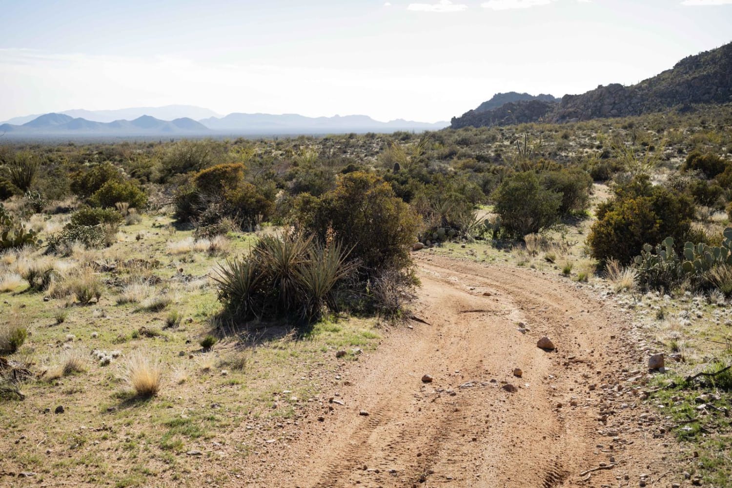
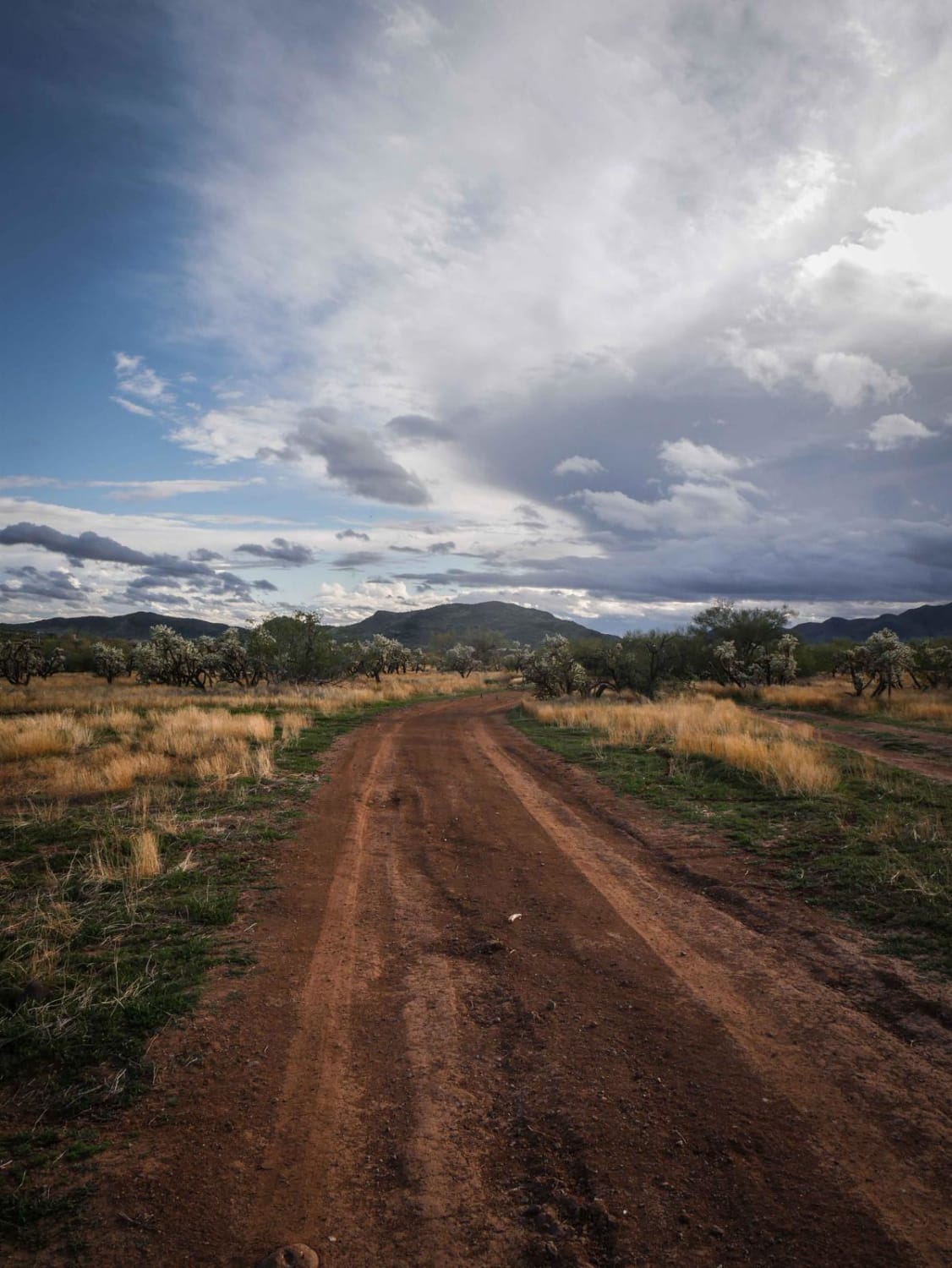
3197 runs west-east in the Tonto National Forest near New River and is an intermediate Jeep trail in a lightly used OHV area. The west end departs from the neighborhood from West Mingus Road and…
Learn more about 3197
Total Miles
1.7
Tech Rating
4 Moderate
Best Time
Spring, Winter, Fall
Learn more about 3200
3200

3200

3200 is a shortcut between two halves of the Quail Springs Loop. This trail is more ridden and beat in. It's a hardpack dirt surface with some loose rocks, some steeper grades, and ruts on…
Learn more about 3200
Total Miles
1.5
Tech Rating
3 Easy
Best Time
Spring, Winter, Fall
Learn more about 3380 Camp
3380 Camp

3380 Camp

3380 Camp is a fun and delightful trail, a pleasant surprise in an area that is continually shaped by the water that flows through it. There are a few fun fast wash sections that contrast…
Learn more about 3380 Camp
Total Miles
5.3
Tech Rating
2 Easy
Best Time
Spring, Summer, Fall
Learn more about 343 H
343 H

343 H

343H is a rough and rocky trail in the heart of some of the densest growth of the Kaibab National Forest. One lane and rough, there are few places to turn around or let traffic…
Learn more about 343 H
Total Miles
3.6
Tech Rating
3 Easy
Best Time
Spring, Summer, Fall
Learn more about 398 Powerline
398 Powerline

398 Powerline

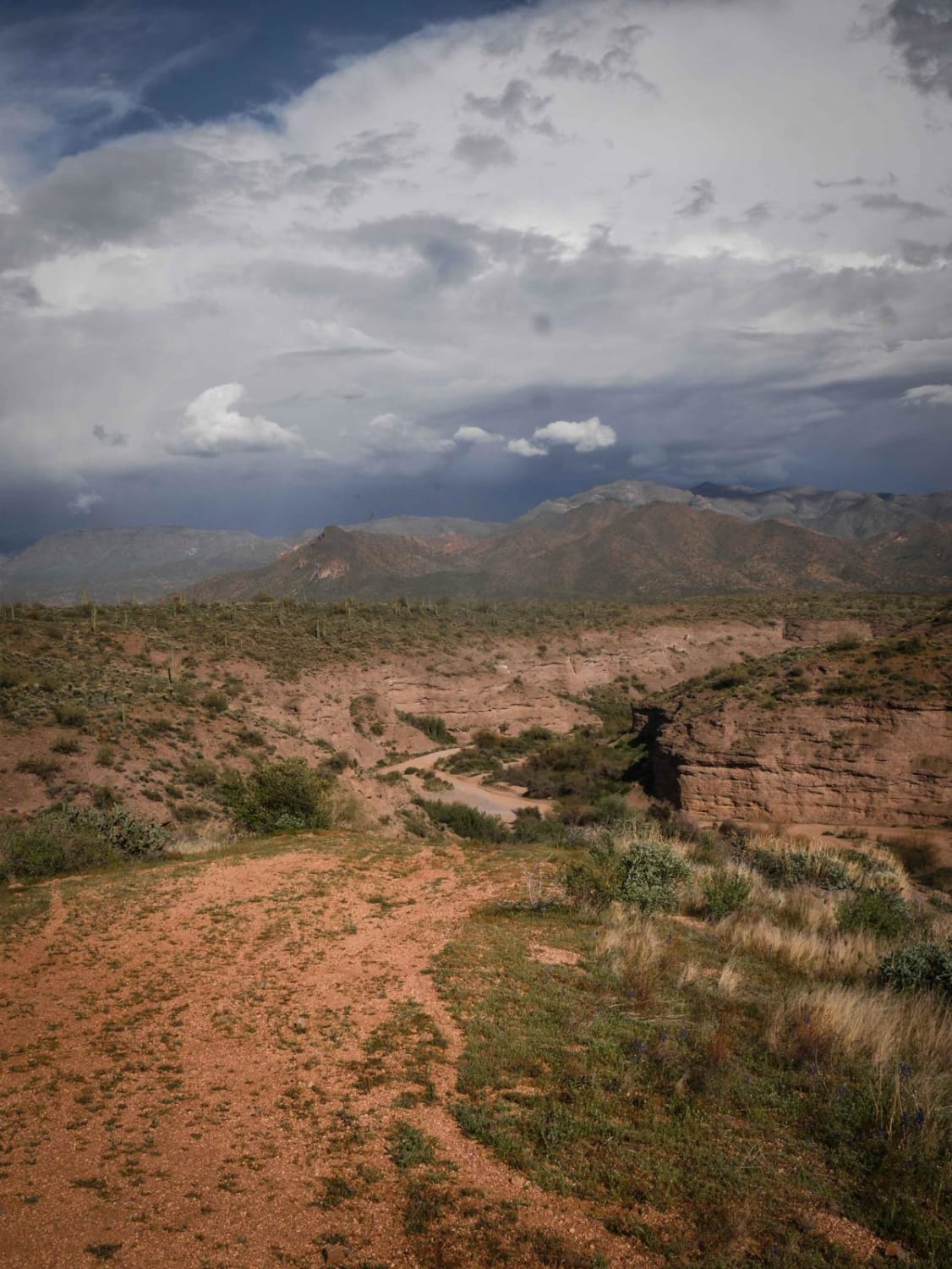
398 is a longer powerline trail in the Tonto National Forest near Camp Creek, Arizona. It's a main route from the west entrance to this OHV area off of North 14th Street and runs east,…
Learn more about 398 Powerline
Total Miles
4.6
Tech Rating
3 Easy
Best Time
Spring, Winter, Fall
Learn more about 4169/Red Point
4169/Red Point

4169/Red Point

Red Point trail is another interesting trail in the area. It takes you on a ridgeline through a wildfire burn scar. From the trail, you can see the remnants of ponderosa ine and new growth…
Learn more about 4169/Red Point
Total Miles
1.9
Tech Rating
2 Easy
Best Time
Spring, Summer, Fall
Learn more about 416Main
416Main

416Main

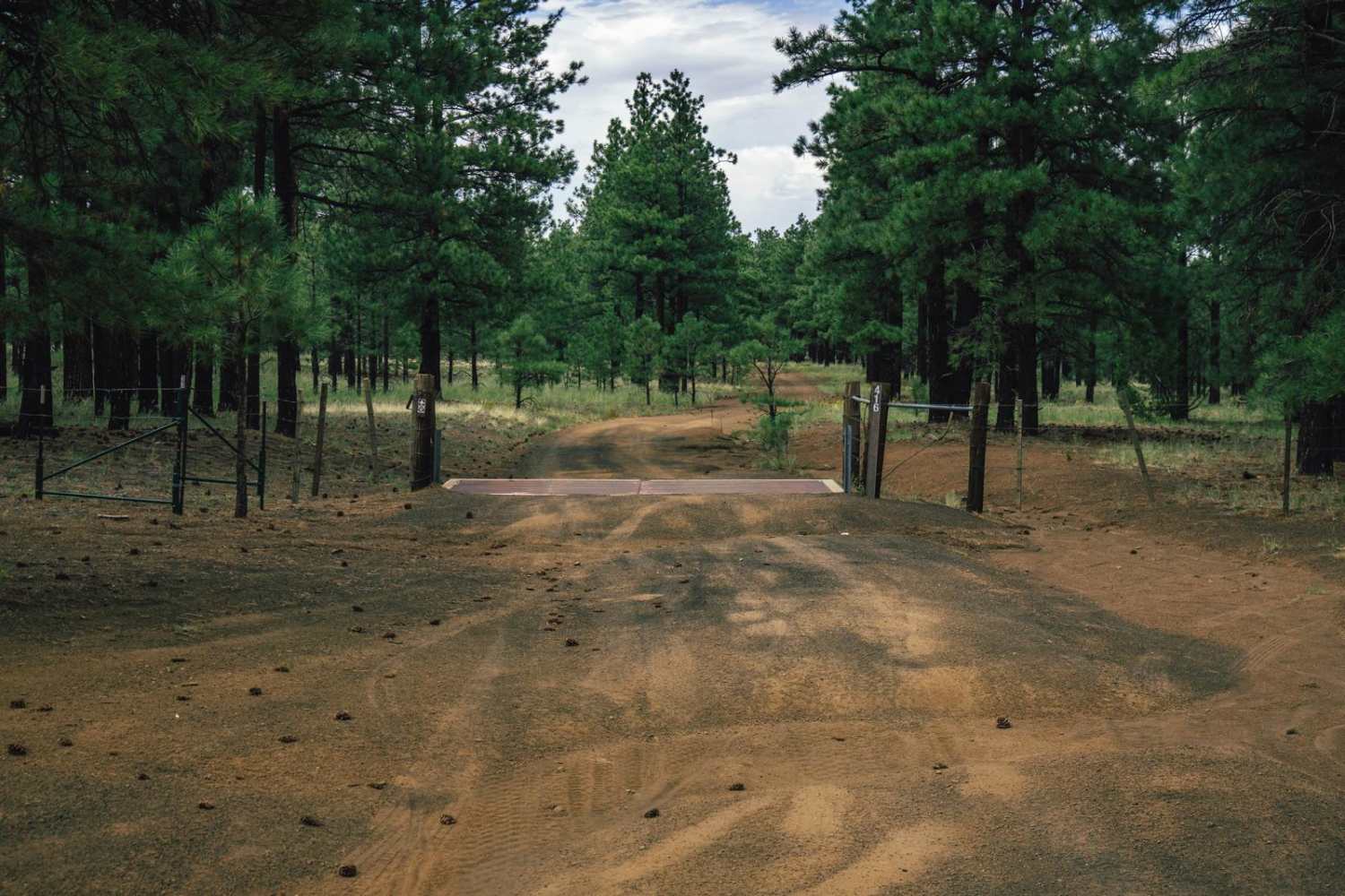
416Main is one lane trail that features water damage, and erosion. On the South end, it's smooth and wide, gently transitioning as you go North to pretty much a rocky ditch. There are wash crossings,…
Learn more about 416Main
Total Miles
7.0
Tech Rating
3 Easy
Best Time
Spring, Summer, Fall
Learn more about 417
417

417

Forest Road 417 is a one-lane rocky trail pocked by erosion and water damage. This trail has rock wash crossings that may prove challenging or even dangerous during monsoon season, as evidence of flash floods…
Learn more about 417
Total Miles
9.6
Tech Rating
2 Easy
Best Time
Spring, Summer, Fall
Learn more about 445E
445E

445E

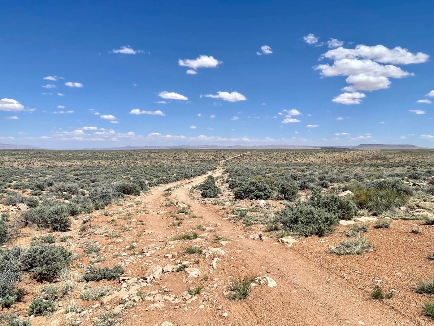
This longer out-and-back runs from the main graded trail to a stunning canyon overlook. The views go for miles, though, and it looks like the trail extends all the way to the horizon and then…
Learn more about 445E
Total Miles
6.5
Tech Rating
3 Easy
Best Time
Spring, Fall
Learn more about 461/Jacob Lake
461/Jacob Lake

461/Jacob Lake

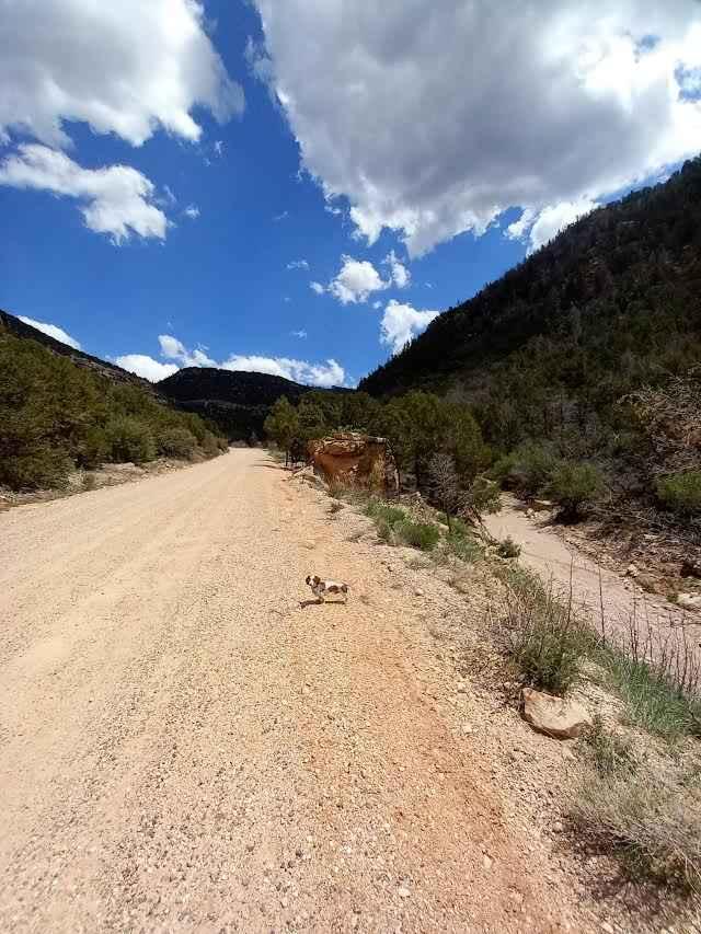
South out of Ferdonia, AZ on Highway 89A to National Road 22. Follow south to road sign that points for Jacob Lake and Highway 67. Turn left to climb the mountain and travel on a…
Learn more about 461/Jacob Lake
Total Miles
8.5
Tech Rating
2 Easy
Best Time
Spring, Summer, Fall
Learn more about 4B
4B

4B

The 4B trail is a mostly mellow trail, with no major obstacles on it. The trail sports erosion and water damage, as well as some wash crossings with off-camber, steep entrances and exits. Some of…
Learn more about 4B
Total Miles
3.6
Tech Rating
2 Easy
Best Time
Spring, Summer, Fall
Learn more about 4Lo to Nowhere
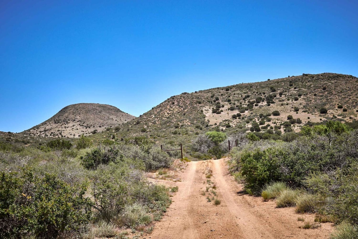
4Lo to Nowhere

4Lo to Nowhere

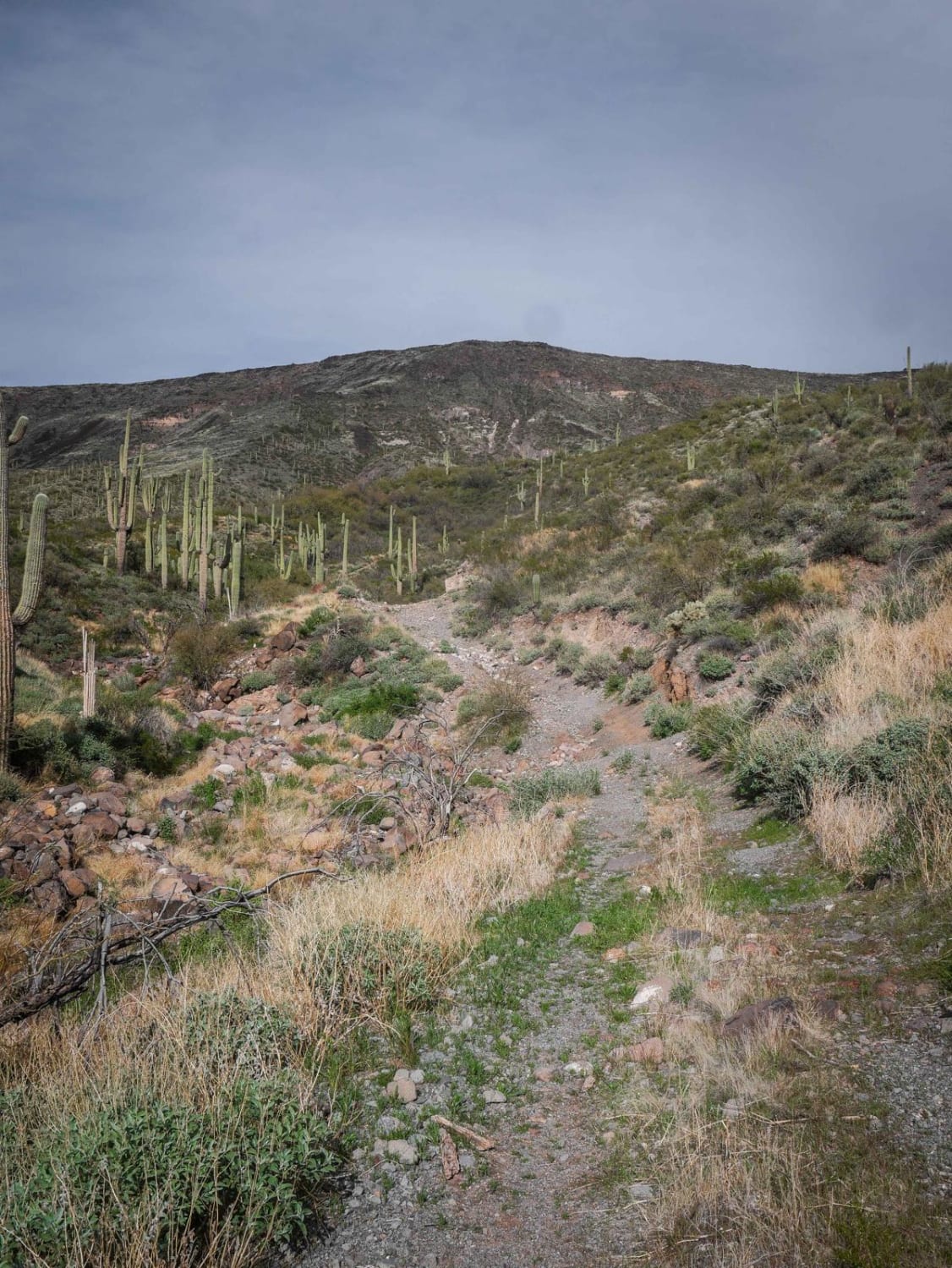
This trail starts wide an bush-lined and gives tons of amazing views along its way. But use caution, as the further North you go, the gnarlier it gets. Steep, long, loose-rock climbs and wash crossings…
Learn more about 4Lo to Nowhere
Total Miles
3.2
Tech Rating
5 Moderate
Best Time
Spring, Summer, Fall
Learn more about 50 Year Trail Loop
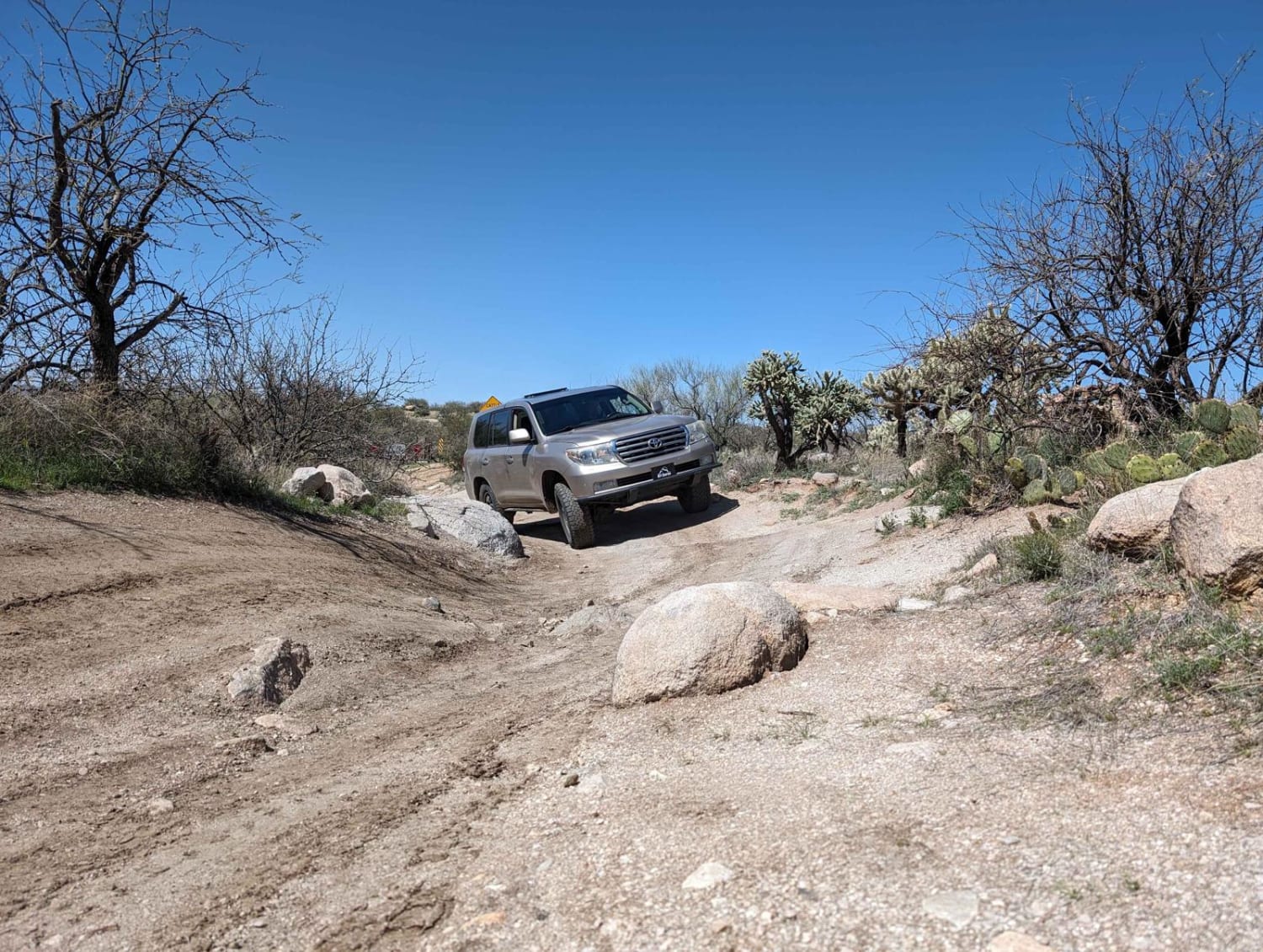
50 Year Trail Loop

50 Year Trail Loop

Start on East Golder Ranch Drive. Turn left through the cattle guard onto E Equestrian Trail. At a corral, you take the right at the Y and proceed onto a single-vehicle-width trail. The trail remains…
Learn more about 50 Year Trail Loop
Total Miles
5.1
Tech Rating
3 Easy
Best Time
Spring, Fall, Winter
Learn more about 504 to Pole Line
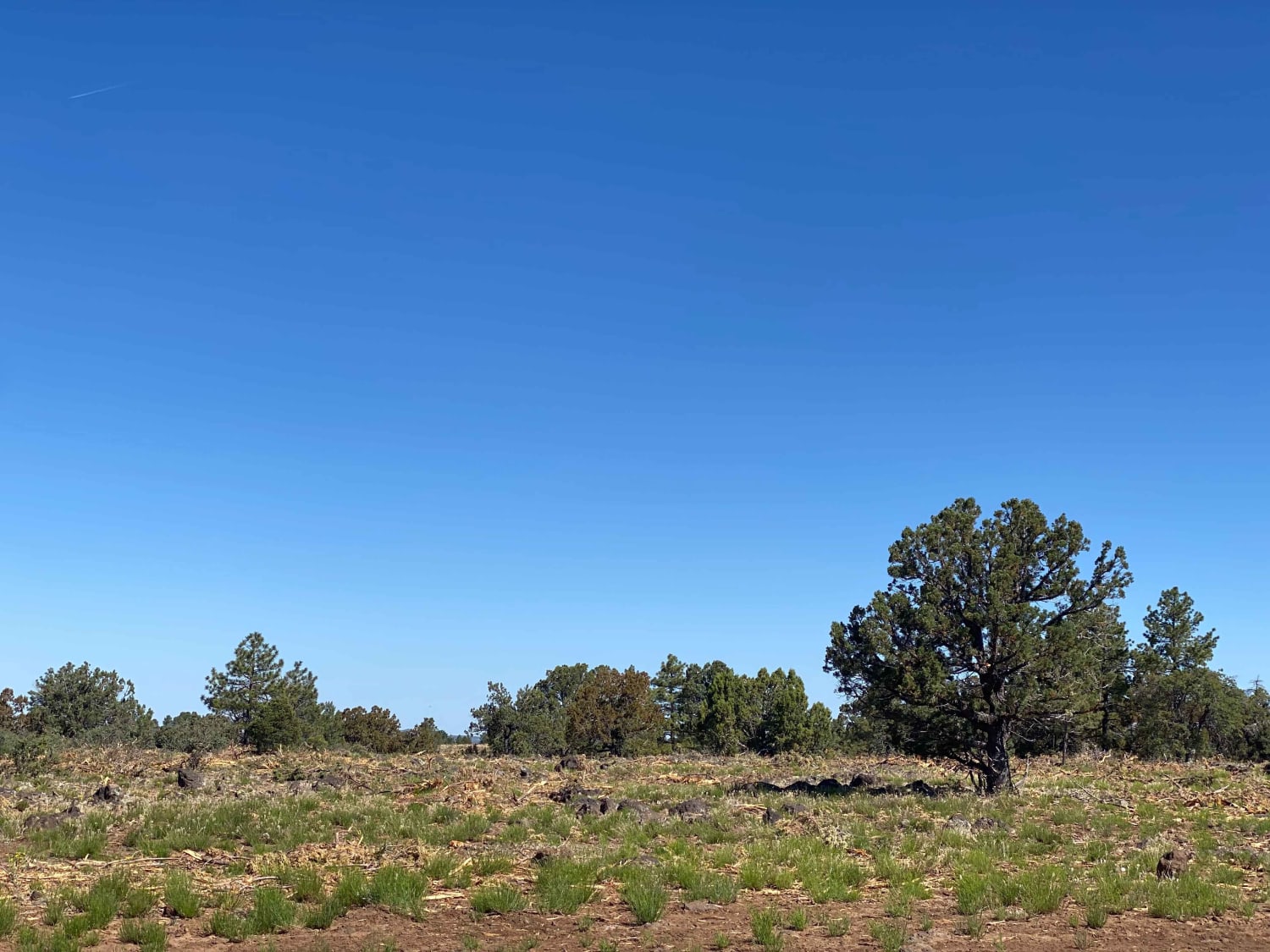
504 to Pole Line

504 to Pole Line

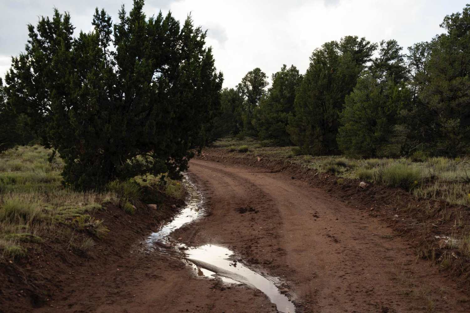
This trail is quite rutted. Evidence of large machinery recently grading the trail was apparent, and lots of rocks lined each side of the trail. This area can get pretty muddy in spring and after…
Learn more about 504 to Pole Line
Total Miles
1.2
Tech Rating
3 Easy
Best Time
Fall, Summer, Spring
Learn more about 50k
50k

50k

The 50k Trail is a remnant of a mining road, of which there are plenty in the area. This road is rutted, with deep cuts of water damage, erosion, and washouts. There are wash crossings…
Learn more about 50k
Total Miles
6.8
Tech Rating
4 Moderate
Best Time
Spring, Summer, Fall
1 2 3 4 5 6 7 8 9 10 ... 93

The onX Offroad Difference

onX Offroad combines trail photos, descriptions, difficulty ratings, width restrictions, seasonality, and more in a user-friendly interface. Available on all devices, with offline access and full compatibility with CarPlay and Android Auto. Discover what you’re missing today!