Off-Road Trails in Arizona

Discover off-road trails in Arizona

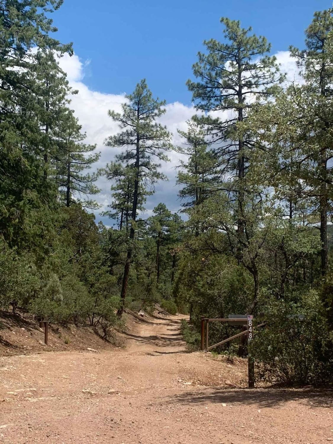
Learn more about FDR 848
FDR 848

FDR 848

Very scenic drive with a great view and access to the nice creek to cool off in on hot days. This trail is very mild and friendly to all high clearance vehicles up to the…
Learn more about FDR 848
Total Miles
2.2
Tech Rating
3 Easy
Best Time
Spring, Summer, Fall
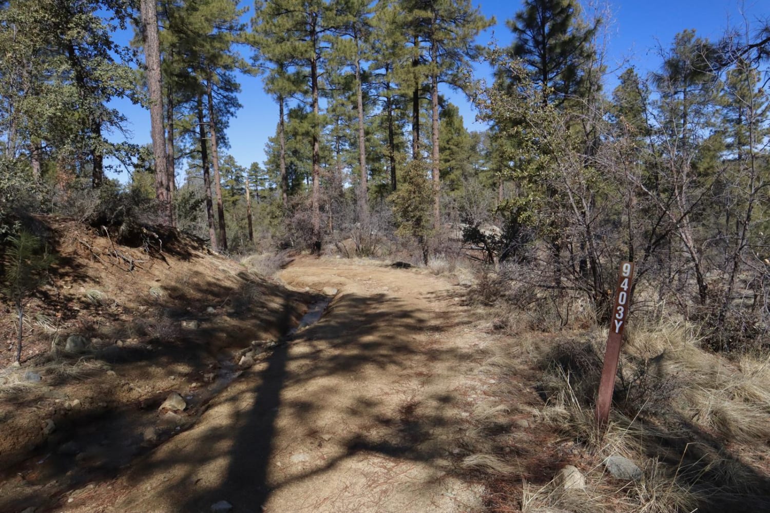
Learn more about FDR 9403Y
FDR 9403Y

FDR 9403Y

FDR 9403Y is a route providing OHV access through Prescott National Forest. There are no camping opportunities on this route, however, it is a connector between Marapai Road and Pipeline Road, both of which offer…
Learn more about FDR 9403Y
Total Miles
1.4
Tech Rating
4 Moderate
Best Time
Spring, Summer, Fall
Learn more about Fence Line Maintenance
Fence Line Maintenance

Fence Line Maintenance

This short trail connects the main highway to the Meander Along trail, providing good access to the network of trails in the area. It's a faster way to get to Twin Joe Tanks and link…
Learn more about Fence Line Maintenance
Total Miles
1.3
Tech Rating
2 Easy
Best Time
Spring, Fall, Winter
Learn more about Fern Man Road
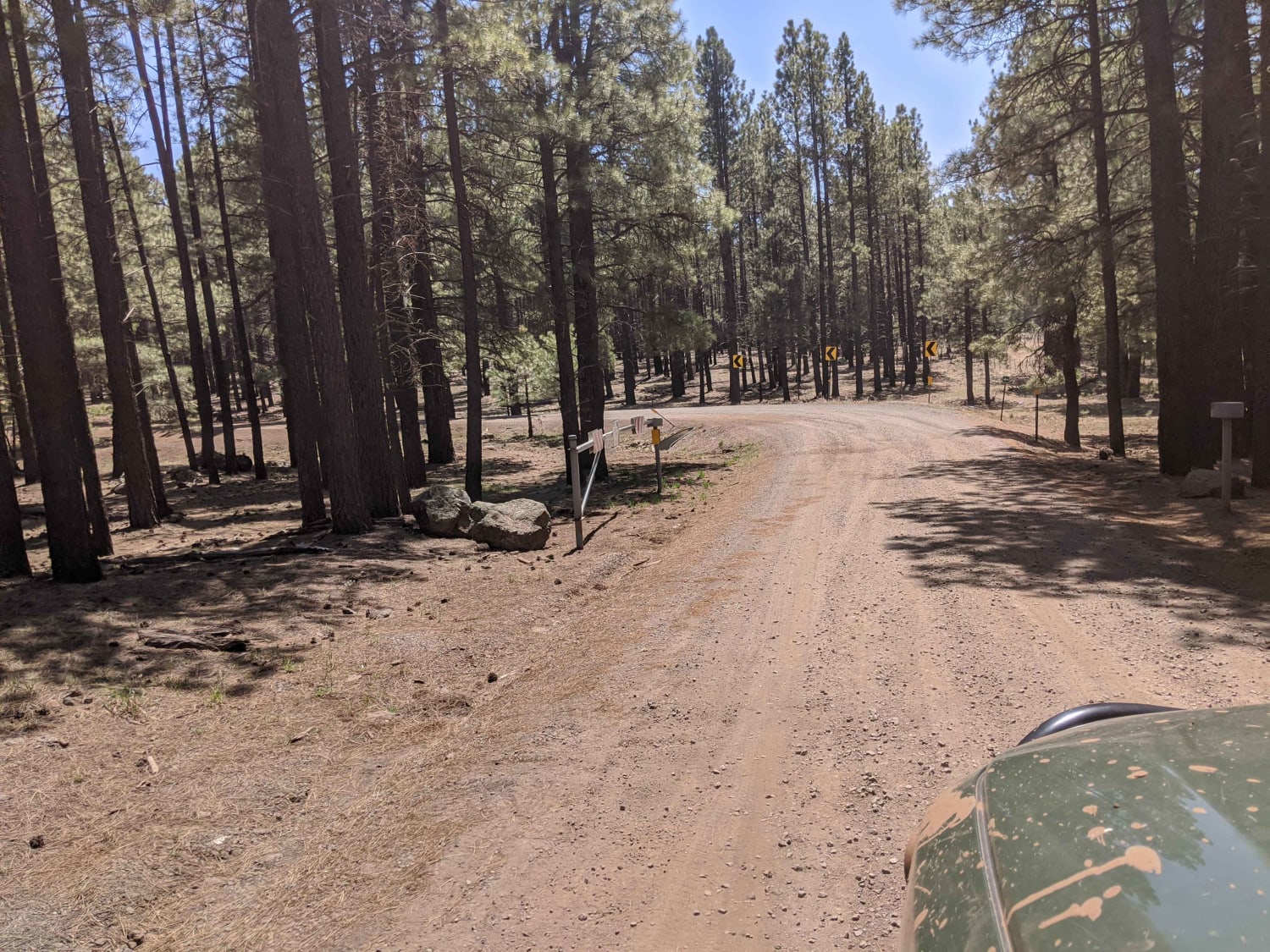
Fern Man Road

Fern Man Road

This road is not winter maintained and will become muddy when wet. There are some beautiful white trees along this route. It does end at private property, so please be mindful! This road does offer…
Learn more about Fern Man Road
Total Miles
2.2
Tech Rating
1 Easy
Best Time
Spring, Summer, Fall
Learn more about Ferry Swale
Ferry Swale

Ferry Swale

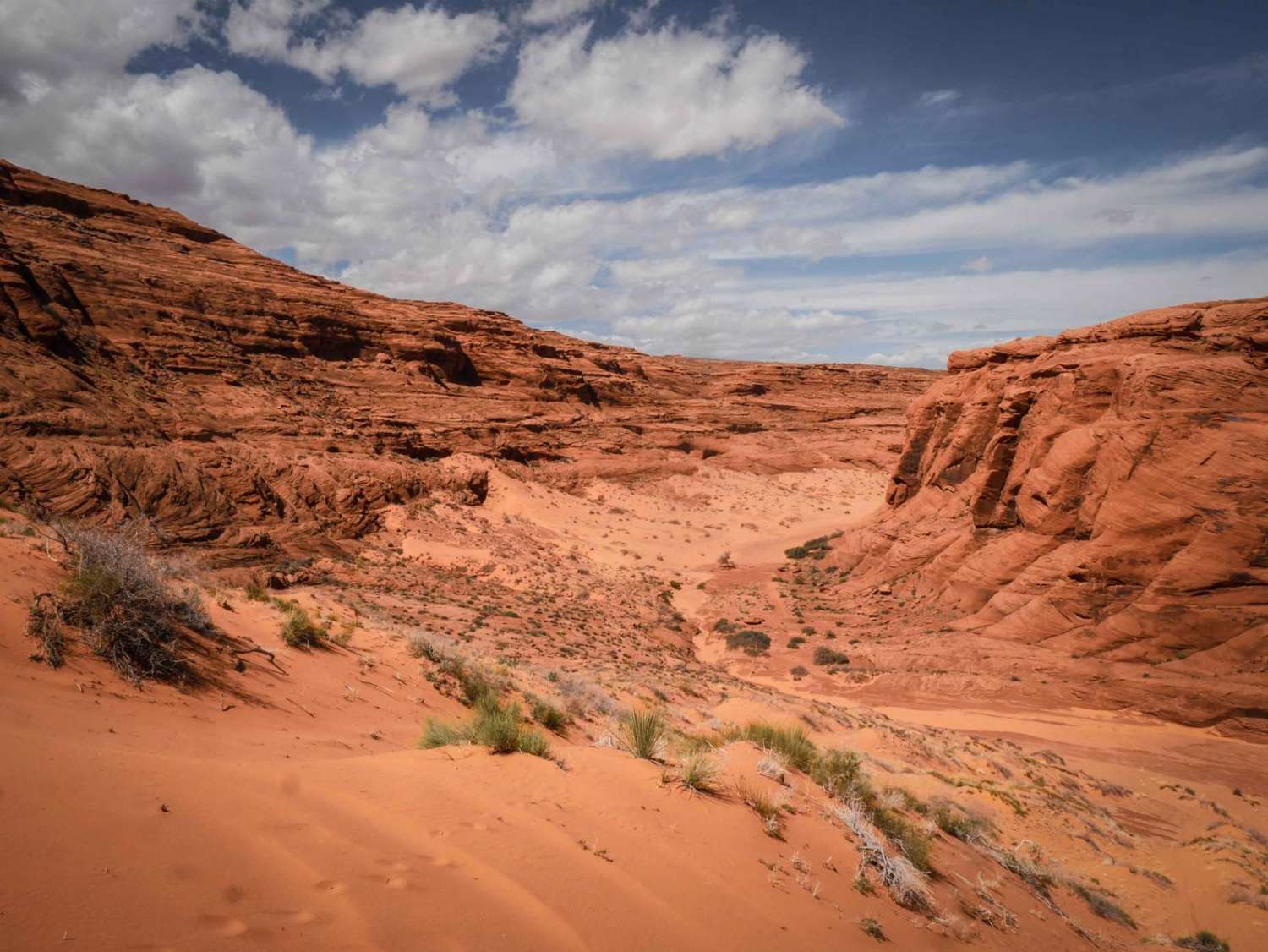
This is a really scenic out-and-back 2.2-mile road through the Vermilion Cliffs National Monument and the Ferry Swale area of Glen Canyon National Recreation Area. It's a sandy narrower trail through red desert, with layers…
Learn more about Ferry Swale
Total Miles
2.2
Tech Rating
3 Easy
Best Time
Spring, Winter, Fall
Learn more about Ferry Swale Road
Ferry Swale Road

Ferry Swale Road

Ferry Swale Road is accessed from Greenehaven Drive off of Highway 89, north of Page, Arizona. Going south from the highway on Greenehaven Drive, go past the concrete platform and through the gate, turn left…
Learn more about Ferry Swale Road
Total Miles
1.4
Tech Rating
1 Easy
Best Time
Spring, Winter, Fall
Learn more about Fir Point View
Fir Point View

Fir Point View

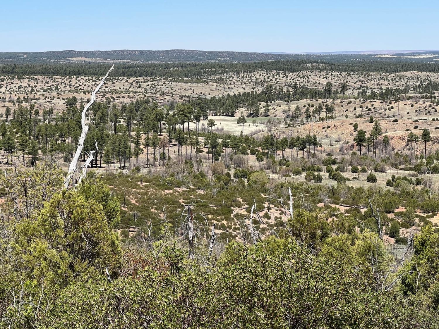
This is an unmarked ATV/UTV, dirt bike only route due to the trees and bushes making it very narrow. Larger vehicles may be able to avoid some of the trees but some will prevent further…
Learn more about Fir Point View
Total Miles
3.1
Tech Rating
5 Moderate
Best Time
Spring, Summer, Fall
Learn more about Firewood Camping Trail
Firewood Camping Trail

Firewood Camping Trail

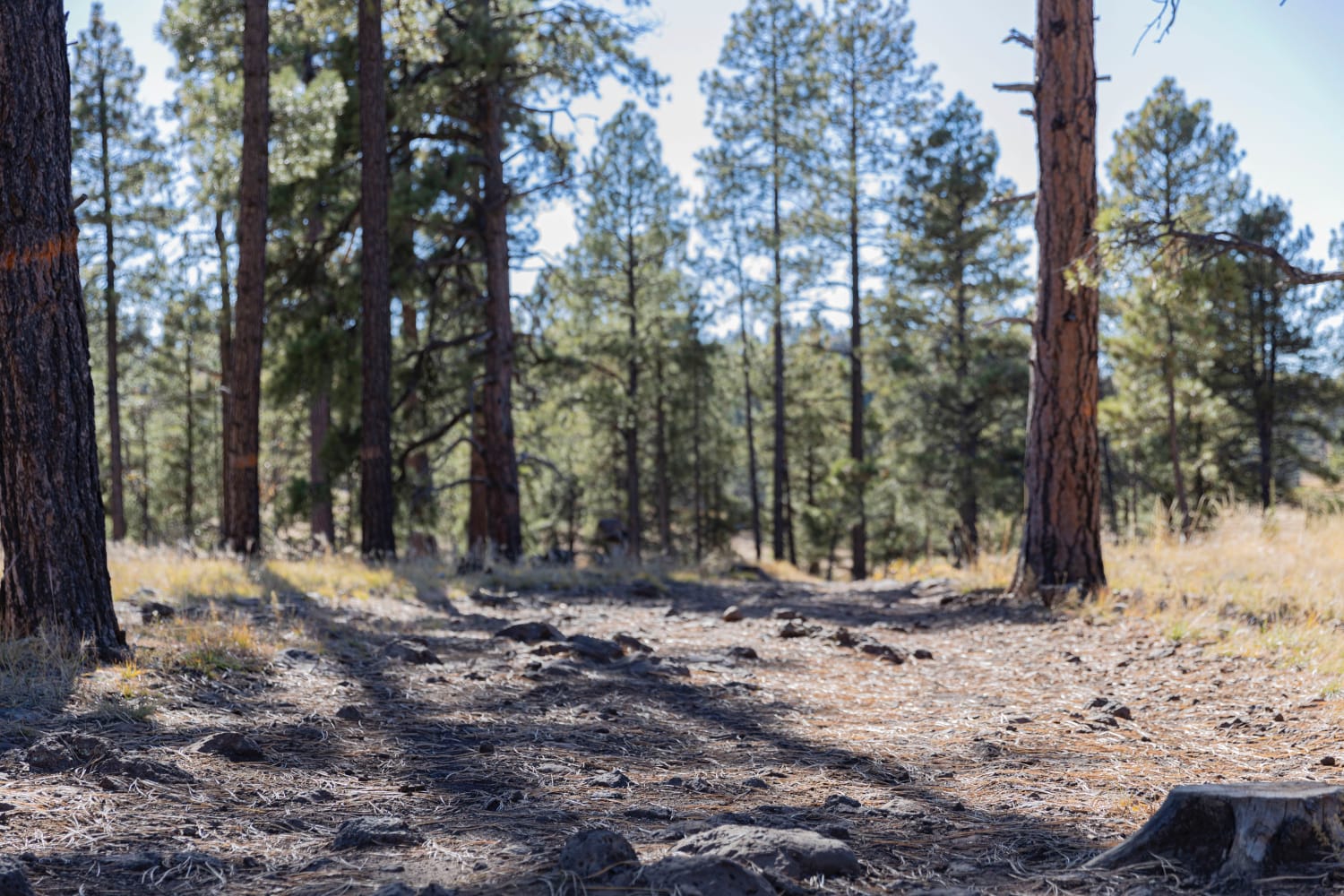
This wooded trail winds through the Kaibab National Forest; there are tons of camping and firewood to be found as you go. Stumps and rocks are scattered throughout the trail, but high clearance is not…
Learn more about Firewood Camping Trail
Total Miles
2.1
Tech Rating
2 Easy
Best Time
Spring, Summer, Fall
Learn more about First Water Trail
First Water Trail

First Water Trail

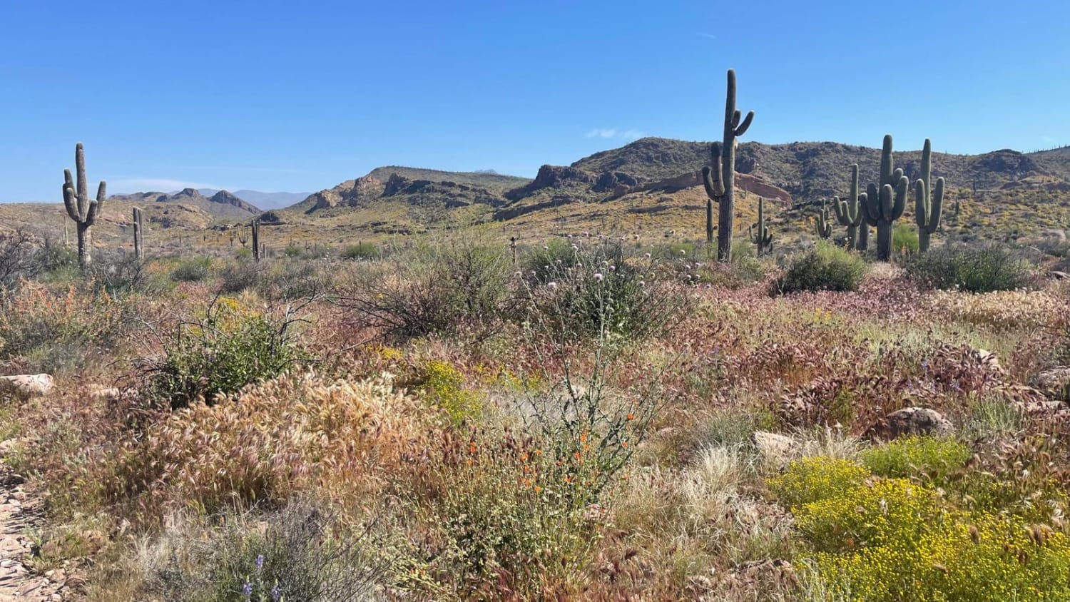
A relatively flat, bumpy trail leads to the First Water Trailhead and access to the beautiful Superstition Wilderness. Four-wheel drive is not required, however, several washes exist on the trail that are prone to drastic…
Learn more about First Water Trail
Total Miles
2.6
Tech Rating
2 Easy
Best Time
Spring, Fall, Winter
Learn more about Fist Full of Dollars
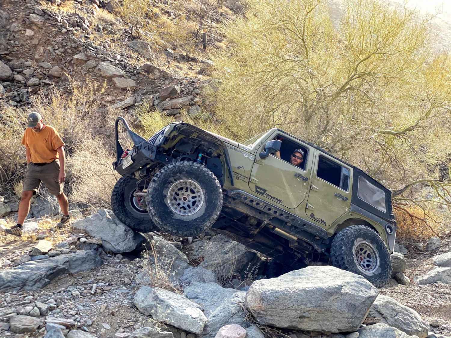
Fist Full of Dollars

Fist Full of Dollars

This trail is under 1 mile long, but can take several hours. For added challenge, it can also be run down and back, as some of the obstacles are even trickier heading back to the…
Learn more about Fist Full of Dollars
Total Miles
0.8
Tech Rating
8 Difficult
Best Time
Winter, Fall, Spring
Learn more about Flat Rock Point
Flat Rock Point

Flat Rock Point

This out-and-back trail picks up from a network of trails in the area. It leads out to a finger on a ridge point where the trail's end has a fire ring. There are some partial…
Learn more about Flat Rock Point
Total Miles
1.8
Tech Rating
2 Easy
Best Time
Spring, Summer, Fall
Learn more about Flat Tire Canyon
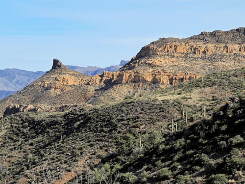
Flat Tire Canyon

Flat Tire Canyon

Flat Tire Canyon is a scenic, little-used Jeep trail in a fairly remote area. It only takes a couple of hours to do the trail, but it takes a long time to get there and…
Learn more about Flat Tire Canyon
Total Miles
5.5
Tech Rating
5 Moderate
Best Time
Spring, Summer, Fall, Winter
Learn more about Flat Top Butte
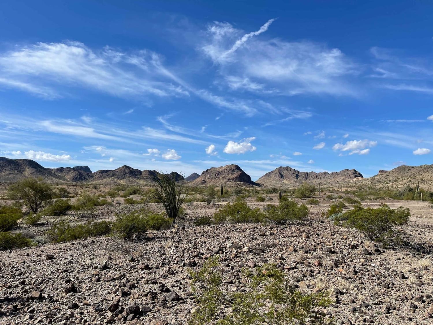
Flat Top Butte

Flat Top Butte

This trail is an out and back route. But wow, are the views worth it. The trail begins in the flatlands' lower valleys and drainage fans, and they progress into the hills toward the naval…
Learn more about Flat Top Butte
Total Miles
6.7
Tech Rating
4 Moderate
Best Time
Spring, Winter
Learn more about Flowing Springs MT-74
Flowing Springs MT-74

Flowing Springs MT-74

A rocky climb up decomposed red rock with stunning views of the Mogollon Rim. Best traveled in Fall or Spring due to a few creeks that run through the area. This route is best suited…
Learn more about Flowing Springs MT-74
Total Miles
5.4
Tech Rating
4 Moderate
Best Time
Spring, Fall
Learn more about Flue
Flue

Flue

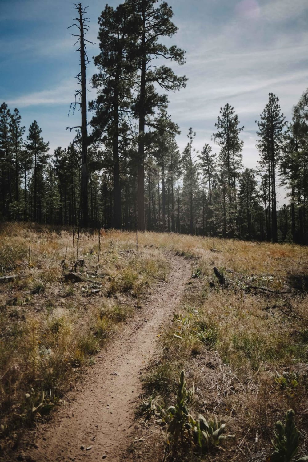
Flue is an easy single-track trail that meanders through a flat forest floor with dispersed pine trees and lots of dry grass. The forest type here is almost more like a high desert; it's pretty…
Learn more about Flue
Total Miles
1.0
Tech Rating
2 Easy
Best Time
Spring, Summer, Fall
Learn more about Forest Road 183
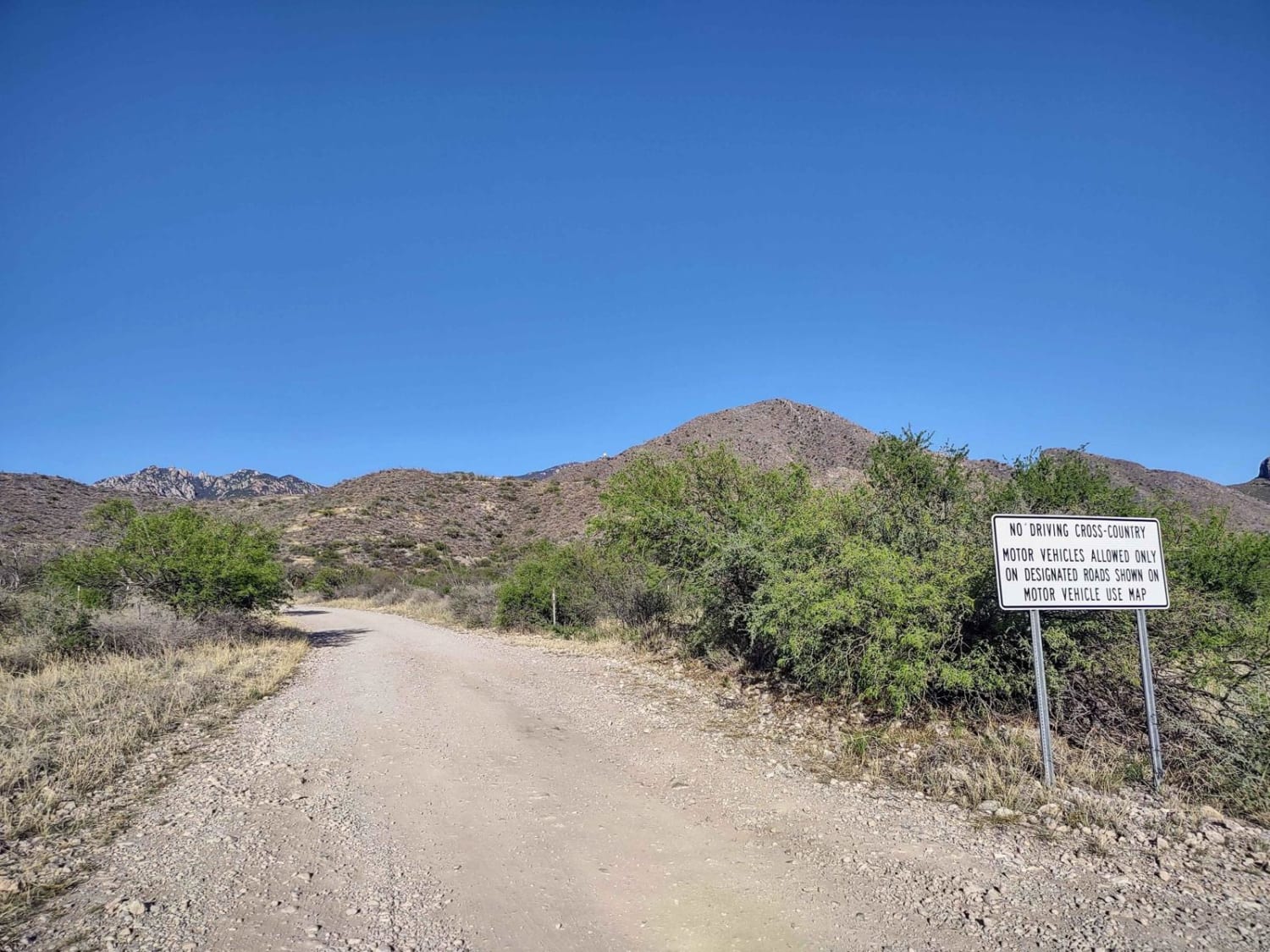
Forest Road 183

Forest Road 183

Forest Road 183 takes you from the low desert up to nearly 6,000FT in elevation past the hiking trail heads for Elephant Head and Aguas Caliente. The route varies from 2wd high clearance to steep…
Learn more about Forest Road 183
Total Miles
5.3
Tech Rating
2 Easy
Best Time
Fall, Summer, Spring
Learn more about Forest Road 22
Forest Road 22

Forest Road 22

Forest Road 22 is an easy-going trail that traverses the southern arm of the Big Bug Mesa. The trail's surface looks to have been covered recently with a road base, making it a maintained gravel…
Learn more about Forest Road 22
Total Miles
2.3
Tech Rating
1 Easy
Best Time
Spring, Summer, Fall
Learn more about Forest Road 2619
Forest Road 2619

Forest Road 2619

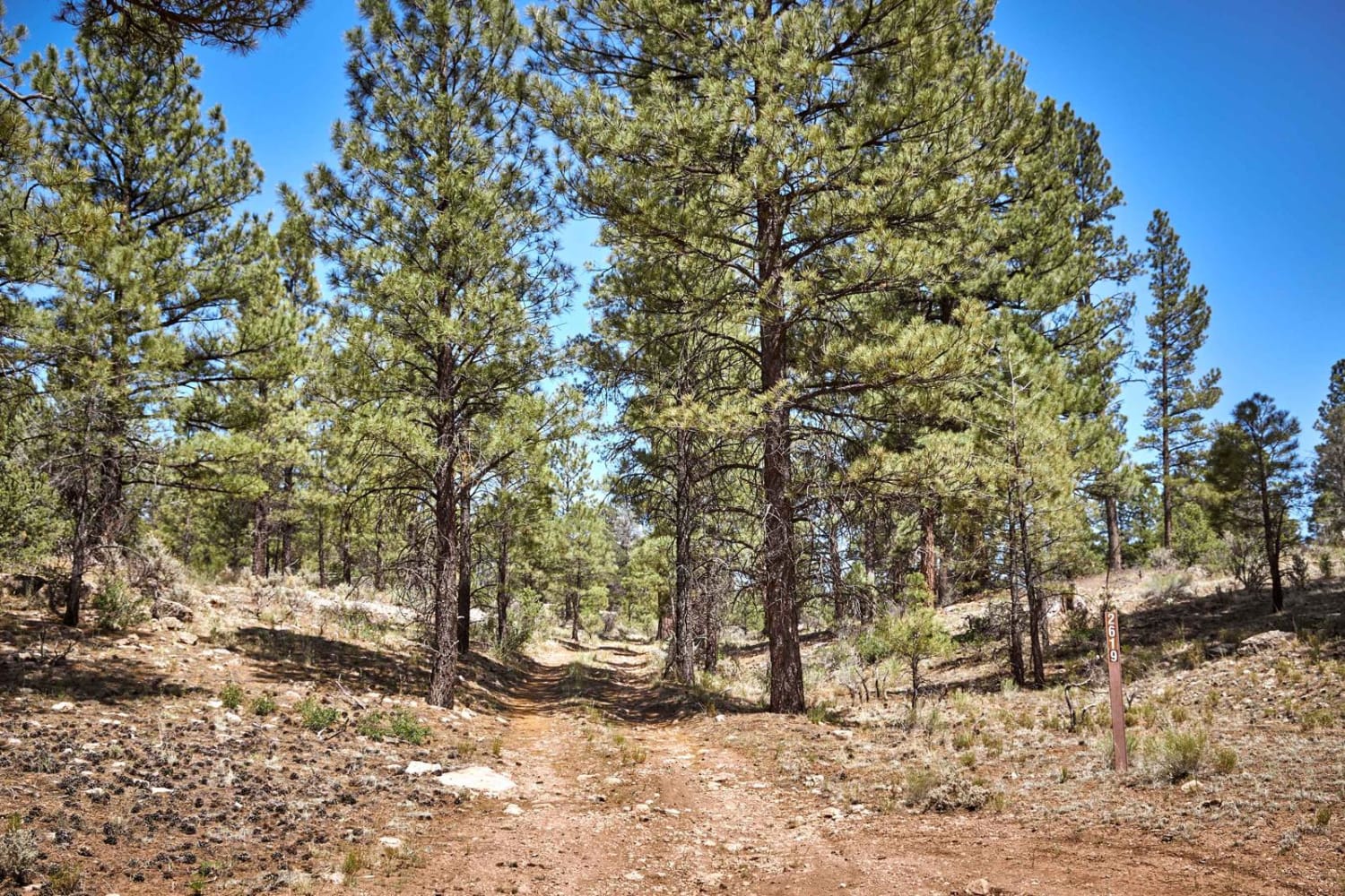
If you're looking for varying terrain on dirt singletrack, look no further than FR 2619. This trail winds its way through the mixed pine and Juniper trees that make up the Kaibab National Forest. This…
Learn more about Forest Road 2619
Total Miles
3.6
Tech Rating
2 Easy
Best Time
Spring, Summer, Fall
Learn more about Forest Service Road 112
Forest Service Road 112

Forest Service Road 112

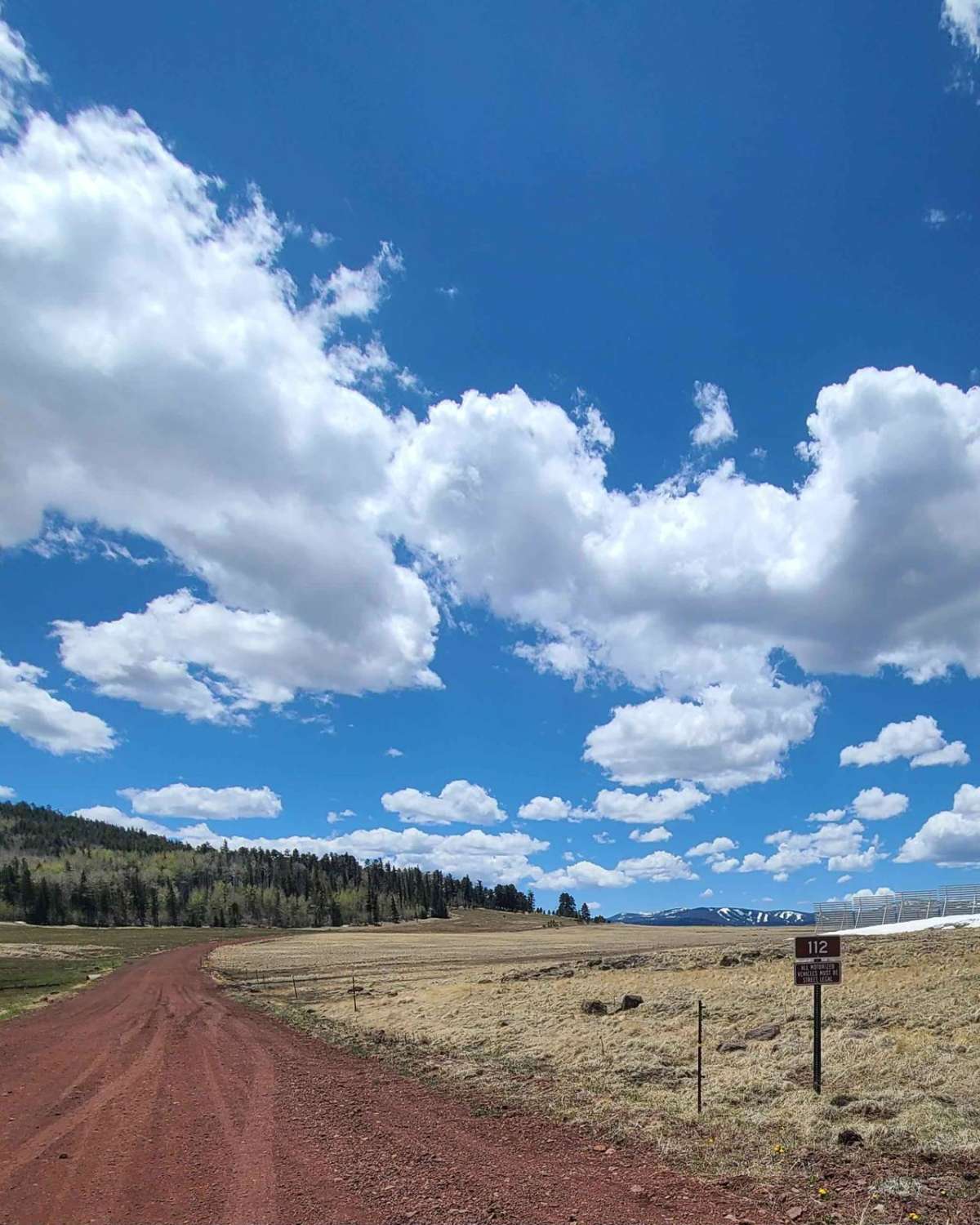
This is an easy, well-graded two-lane road that connects the 260 Highway to the 273 Highway. This road has beautiful views of Sunrise Ski Resort, Mount Baldy, and a few reservoirs and crosses over Hall…
Learn more about Forest Service Road 112
Total Miles
5.2
Tech Rating
1 Easy
Best Time
Spring, Summer, Fall
Learn more about Forest Service Road 87
Forest Service Road 87

Forest Service Road 87

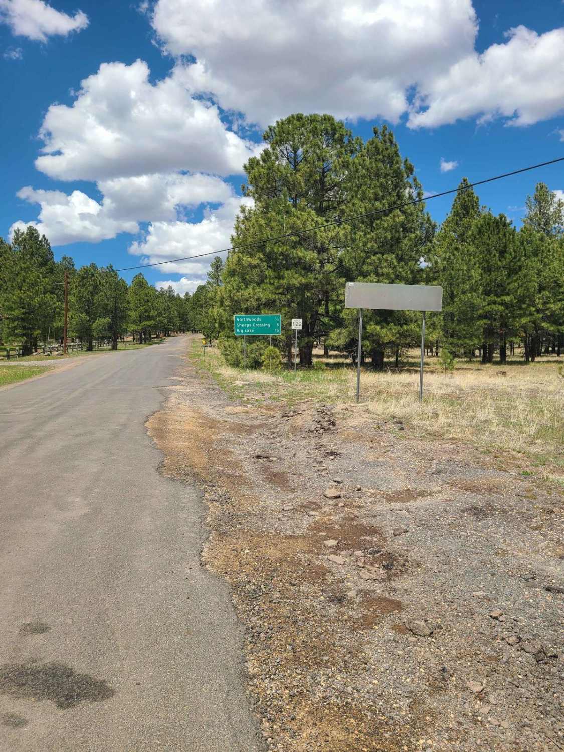
Apache County Road 1122 is an easy two-lane gravel road from Greer to Highway 273. There are several nice camping spots along the road and access to a non-motorized hiking/biking trail by the scenic bridge.…
Learn more about Forest Service Road 87
Total Miles
5.9
Tech Rating
1 Easy
Best Time
Spring, Summer, Fall

The onX Offroad Difference

onX Offroad combines trail photos, descriptions, difficulty ratings, width restrictions, seasonality, and more in a user-friendly interface. Available on all devices, with offline access and full compatibility with CarPlay and Android Auto. Discover what you’re missing today!