Off-Road Trails in Arizona

Discover off-road trails in Arizona

Learn more about Diamondback Gulch (Greasy Spoon)
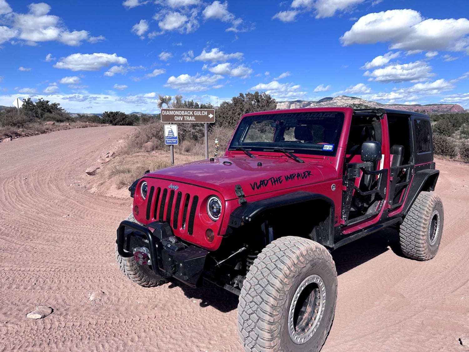
Diamondback Gulch (Greasy Spoon)

Diamondback Gulch (Greasy Spoon)

This 6.1-mile point-to-point trail takes you past the Greasy Spoon tank and through Diamondback Gulch. Most of the trail is easy with small rocks and washed-out areas. Once you pass the old coral at Greasy…
Learn more about Diamondback Gulch (Greasy Spoon)
Total Miles
6.1
Tech Rating
4 Moderate
Best Time
Spring, Summer, Fall, Winter
Learn more about Dillon Field
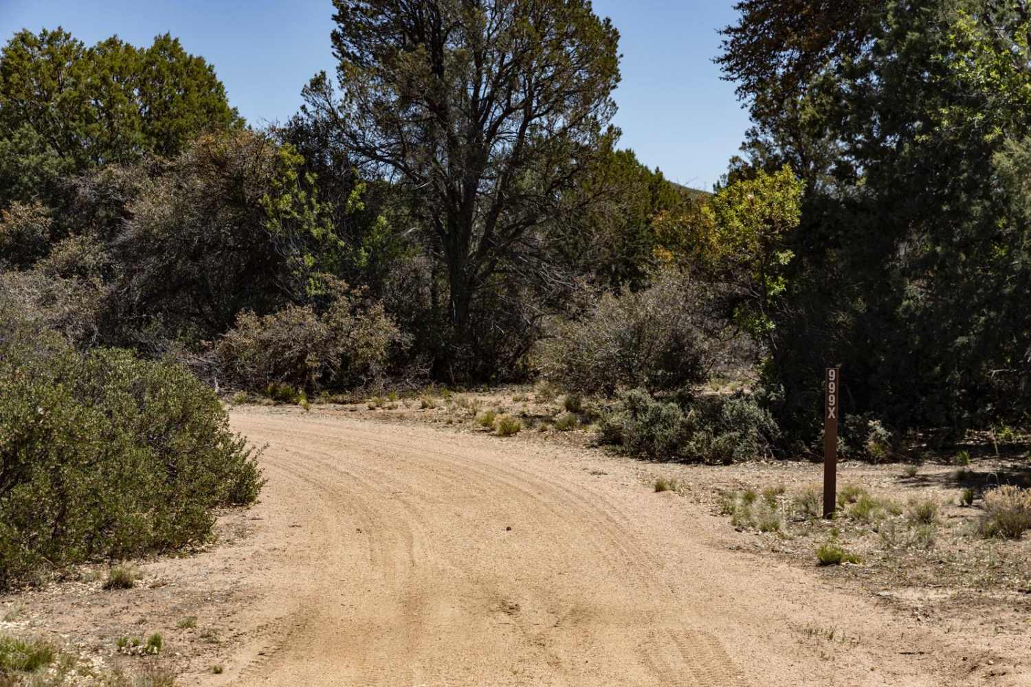
Dillon Field

Dillon Field

Dillon Field on the north end starts off mellow and wide. However, it quickly devolves into a rocky trail that has mud ruts, erosion, and other obstacles. There are hill climbs and descents covered in…
Learn more about Dillon Field
Total Miles
3.9
Tech Rating
3 Easy
Best Time
Spring, Fall, Winter
Learn more about Dirt Fence Bypass
Dirt Fence Bypass

Dirt Fence Bypass

The Dirt Fence Bypass is a mud and rocky two-track that skirts a fenceline along the checkerboard of the Prescott National Forest and the massive K4 Ranch. Abundant with wildlife, you'll most likely see large…
Learn more about Dirt Fence Bypass
Total Miles
6.0
Tech Rating
2 Easy
Best Time
Spring, Summer, Fall
Learn more about Dodging Junipers
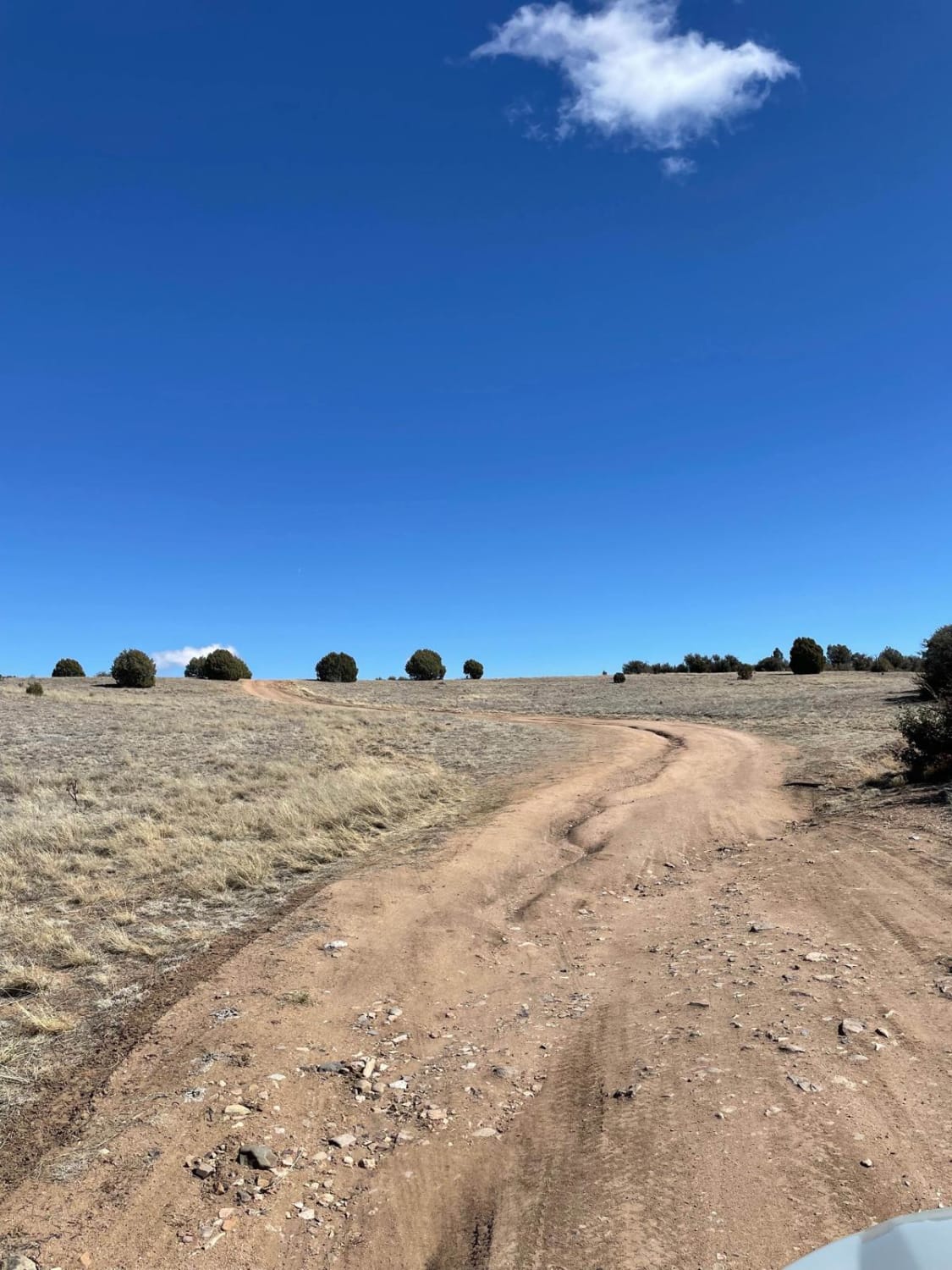
Dodging Junipers

Dodging Junipers

This is a very short but fun trail that is just under 2 miles long. The road starts with a little hill climb and a small rut following the trail up. Once you get over…
Learn more about Dodging Junipers
Total Miles
1.7
Tech Rating
2 Easy
Best Time
Spring, Summer, Fall, Winter
Learn more about Doe Tank
Doe Tank

Doe Tank

Doe Tank is a single-lane trail that starts in an open pasture. The entrance has been marked plainly, and it is asked that you stay on established paths so as to protect this environment. It…
Learn more about Doe Tank
Total Miles
4.0
Tech Rating
2 Easy
Best Time
Spring, Summer, Fall
Learn more about Dog Knobs
Dog Knobs

Dog Knobs

Dog Knobs is an easy trail, and it is predominantly one to two lanes wide. This area is interesting because it traverses between Hwy 180 to the Kaibab National Forest, but also provides insight into…
Learn more about Dog Knobs
Total Miles
15.0
Tech Rating
1 Easy
Best Time
Spring, Summer, Fall
Learn more about Dog Knobs Go-Around
Dog Knobs Go-Around

Dog Knobs Go-Around

The Dog's Knob Go-Around is a one-lane dirt trail with a beautiful high-plateau view as it goes around Dog Knobs. This trail is easy, with no obstacles on it. There is sparse to little cell…
Learn more about Dog Knobs Go-Around
Total Miles
3.2
Tech Rating
2 Easy
Best Time
Spring, Summer, Fall
Learn more about Dog Point
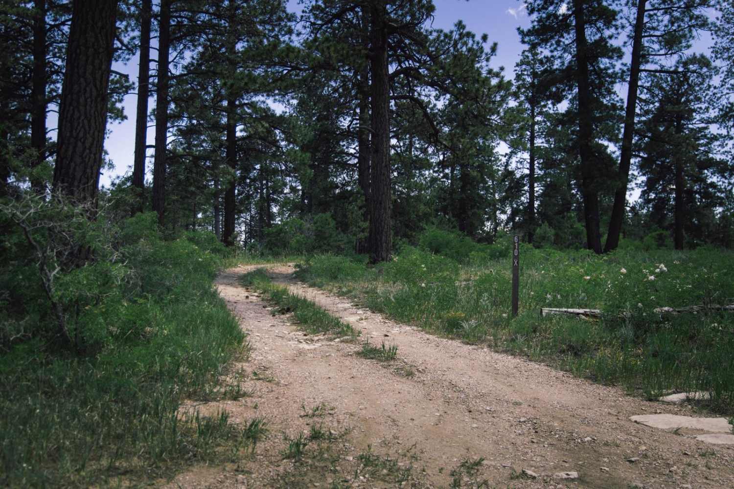
Dog Point

Dog Point

The Dog Point trail is a narrow trail that at times guarantees paint damage to your rig. Dirt and rock, this trail is mellow with no major obstacles. There is no service on this trail,…
Learn more about Dog Point
Total Miles
0.8
Tech Rating
2 Easy
Best Time
Spring, Summer, Fall
Learn more about Dog Saddle to Tater Point
Dog Saddle to Tater Point

Dog Saddle to Tater Point

Dog Saddle is a long, wide, smooth gravel trail through the dense forest of aspen and ponderosa pine trees in this area of the Kaibab National Forest. With no obstacles, this trail is a great…
Learn more about Dog Saddle to Tater Point
Total Miles
6.6
Tech Rating
1 Easy
Best Time
Spring, Summer, Fall
Learn more about Dogtown Trail
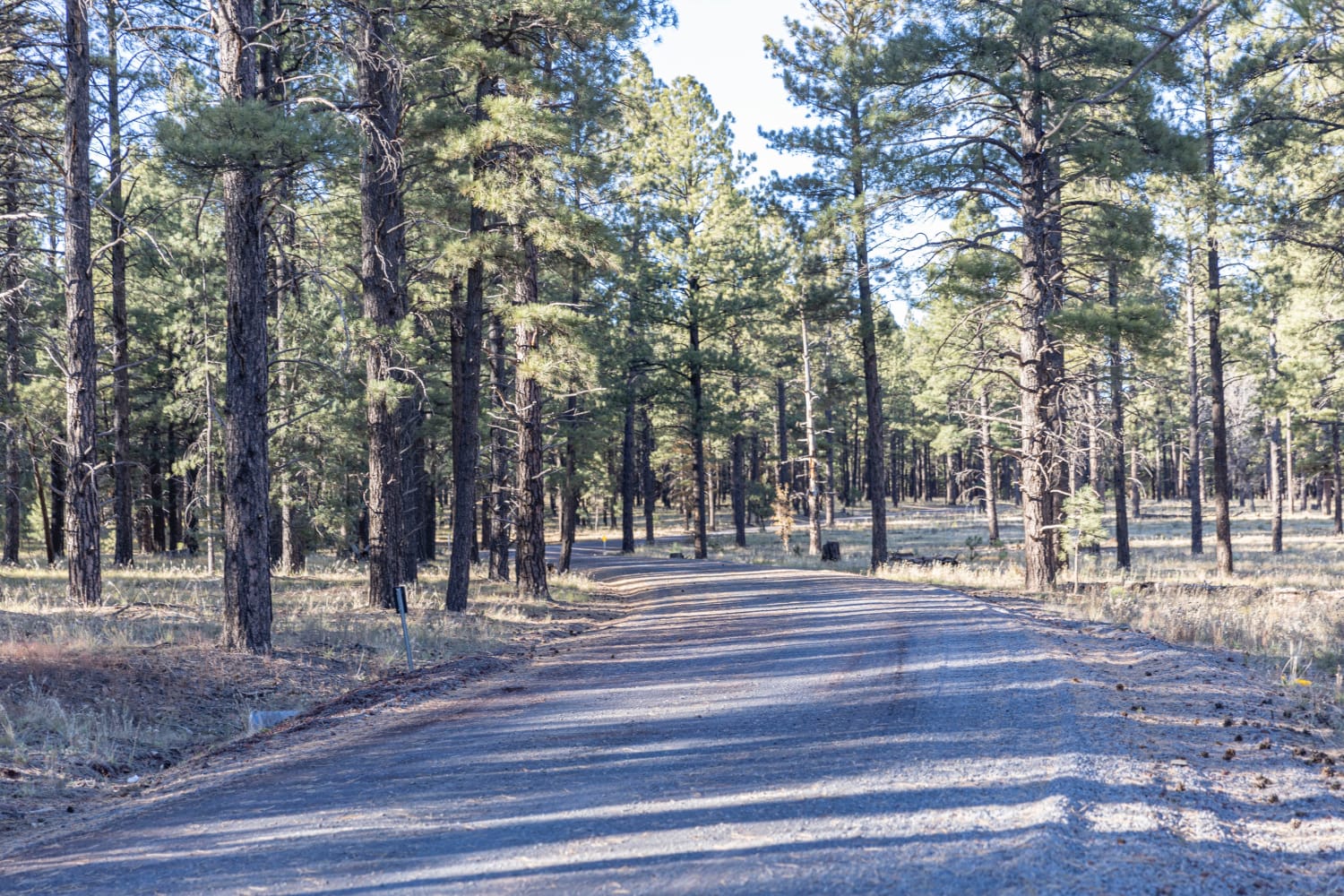
Dogtown Trail

Dogtown Trail

This is an easy dirt-road route that leads to a few different spots throughout the Kaibab National Forest. Driving through the trees with sunlight filtering through, it is an extremely serene little trip. There are…
Learn more about Dogtown Trail
Total Miles
9.1
Tech Rating
1 Easy
Best Time
Spring, Summer, Fall, Winter
Learn more about Dolphin
Dolphin

Dolphin

Dolphin Trail starts on the east end as a continuation of Pine Creek Trail when it starts to directly head west after hitting a fence for private property. It has a short climb up from…
Learn more about Dolphin
Total Miles
1.2
Tech Rating
5 Moderate
Best Time
Spring, Fall
Learn more about Dome Basin Mine Spur
Dome Basin Mine Spur

Dome Basin Mine Spur

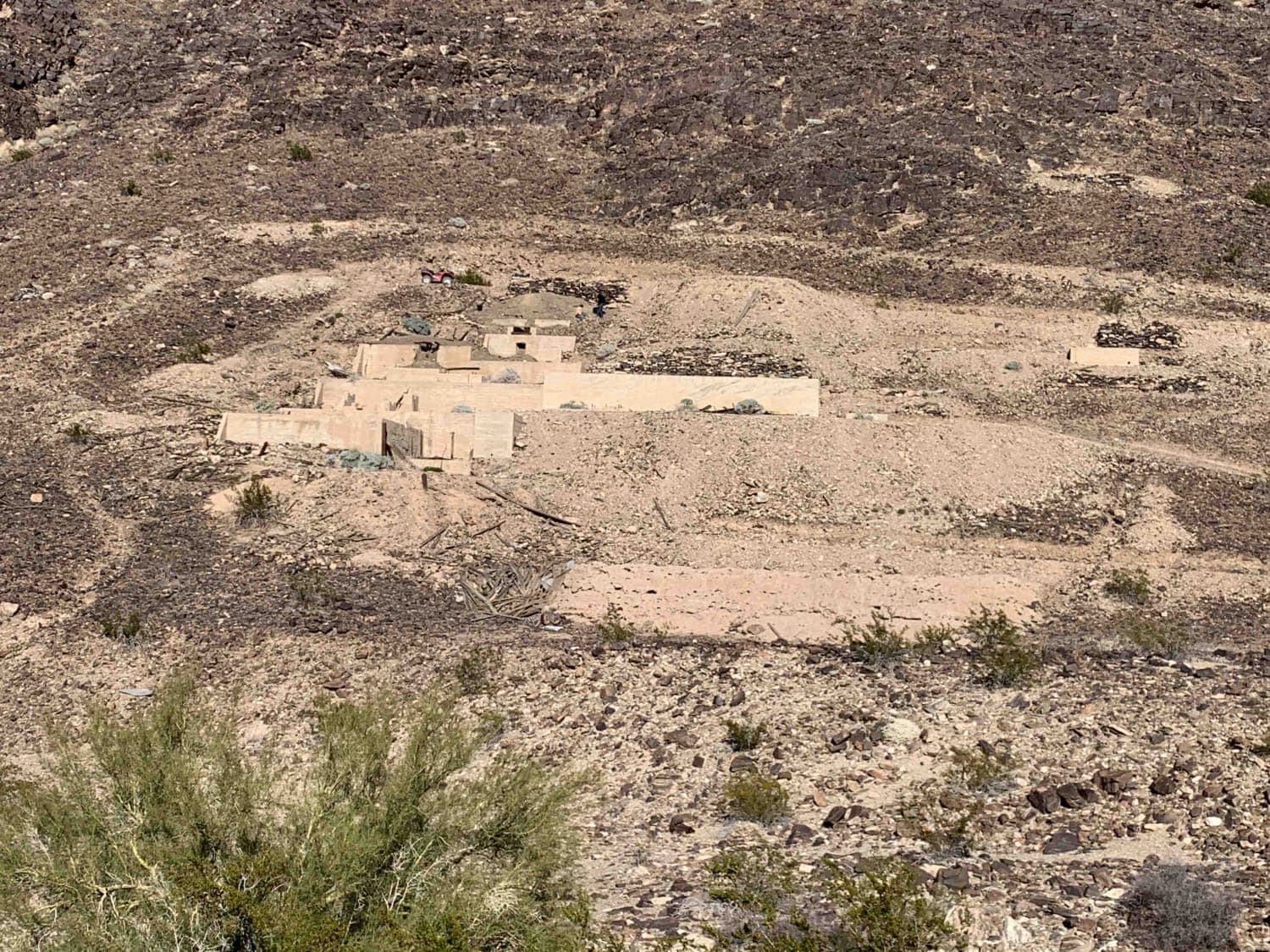
This is a cool spur route to an even cooler large, abandoned gold mine that is still mostly intact, with artifacts present and boarded-up deep mine shaft entrances. It has fairly rugged terrain to walk…
Learn more about Dome Basin Mine Spur
Total Miles
1.6
Tech Rating
4 Moderate
Best Time
Spring, Summer, Fall, Winter
Learn more about Donaldson Tank Old 306 Road
Donaldson Tank Old 306 Road

Donaldson Tank Old 306 Road

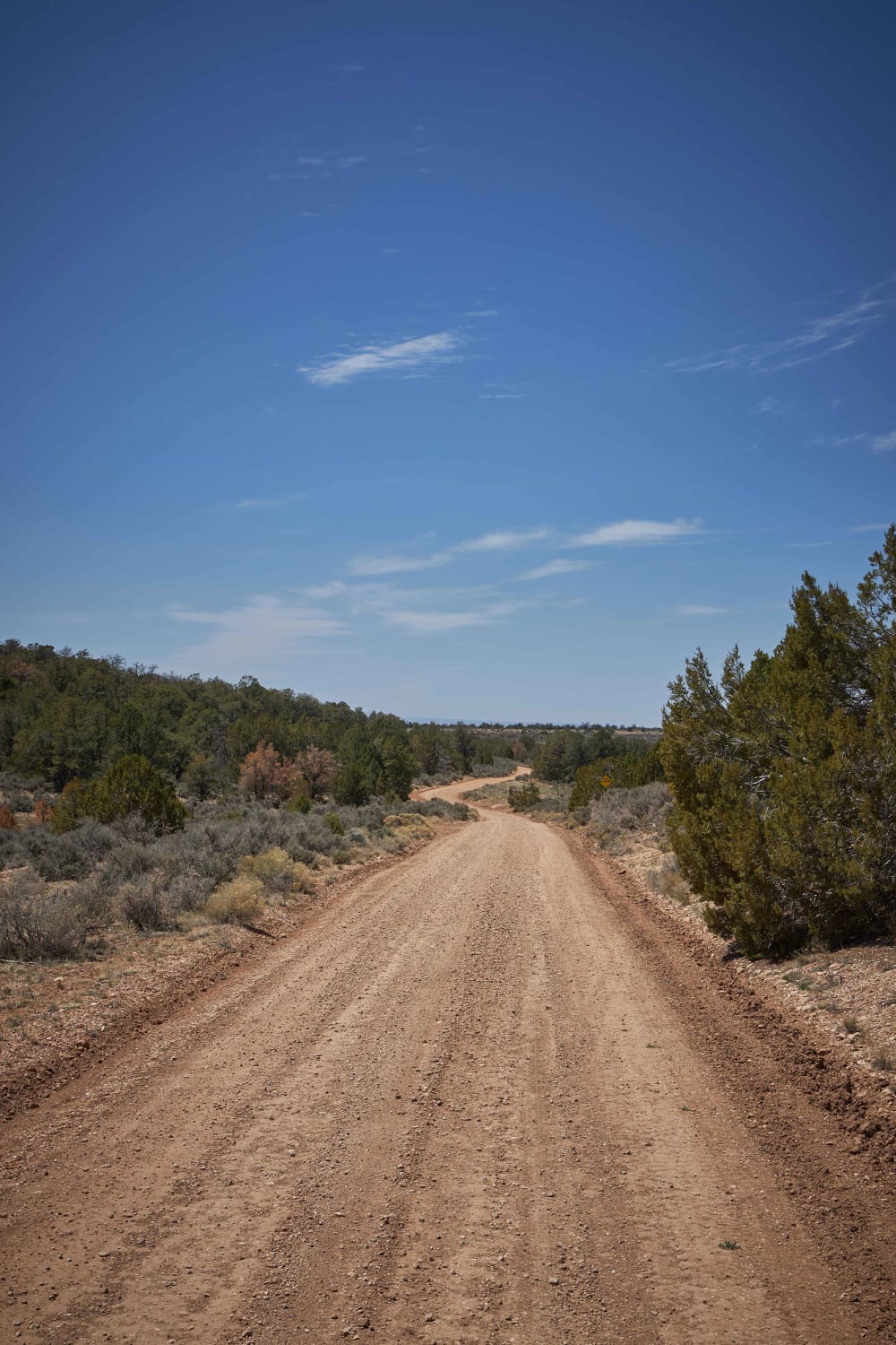
This wide maintained Forest Road has large primitive campsites large enough for 5th wheel and large travel trailers near Highway64. Along hunting sites near the highway, there are burn piles near 64, so be sure…
Learn more about Donaldson Tank Old 306 Road
Total Miles
9.8
Tech Rating
1 Easy
Best Time
Spring, Summer, Fall
Learn more about Donna's Overlook
Donna's Overlook

Donna's Overlook

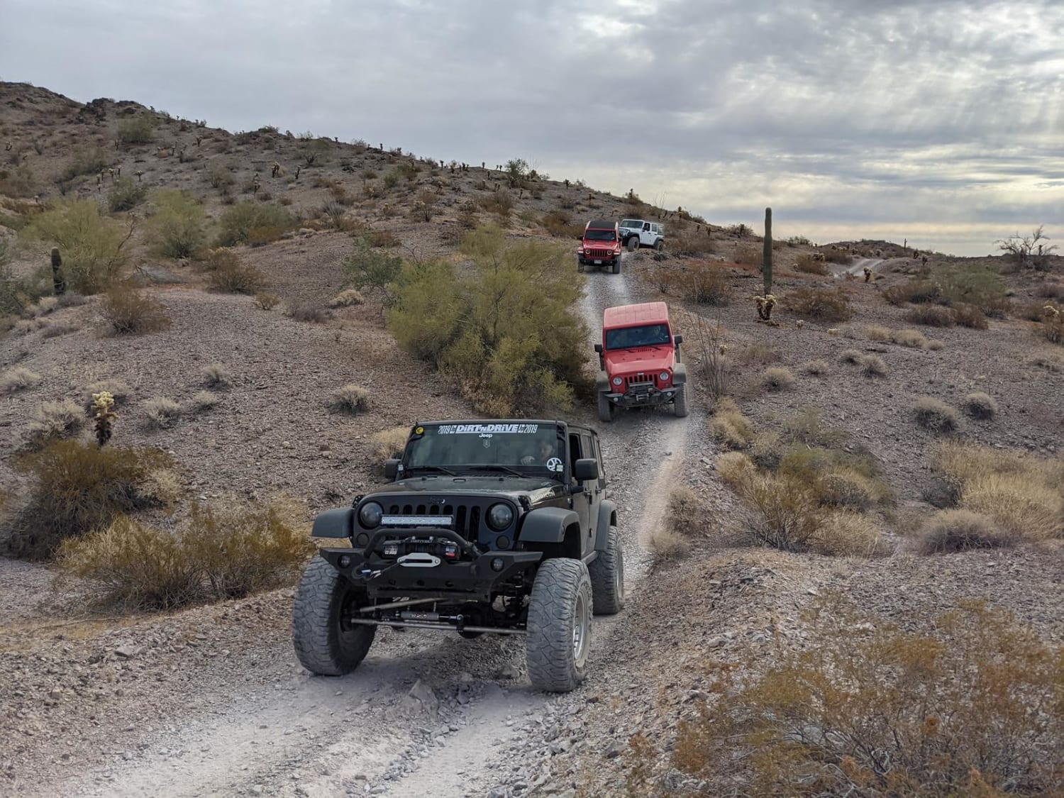
This trail starts off of I-10, continuing through the desert to someone pretty fun climb that gets you on top of a ridge where you work your way around to Donna's Overlook. There are three…
Learn more about Donna's Overlook
Total Miles
23.6
Tech Rating
3 Moderate
Best Time
Spring, Fall, Winter
Learn more about Dorsey Spring Trailhead
Dorsey Spring Trailhead

Dorsey Spring Trailhead

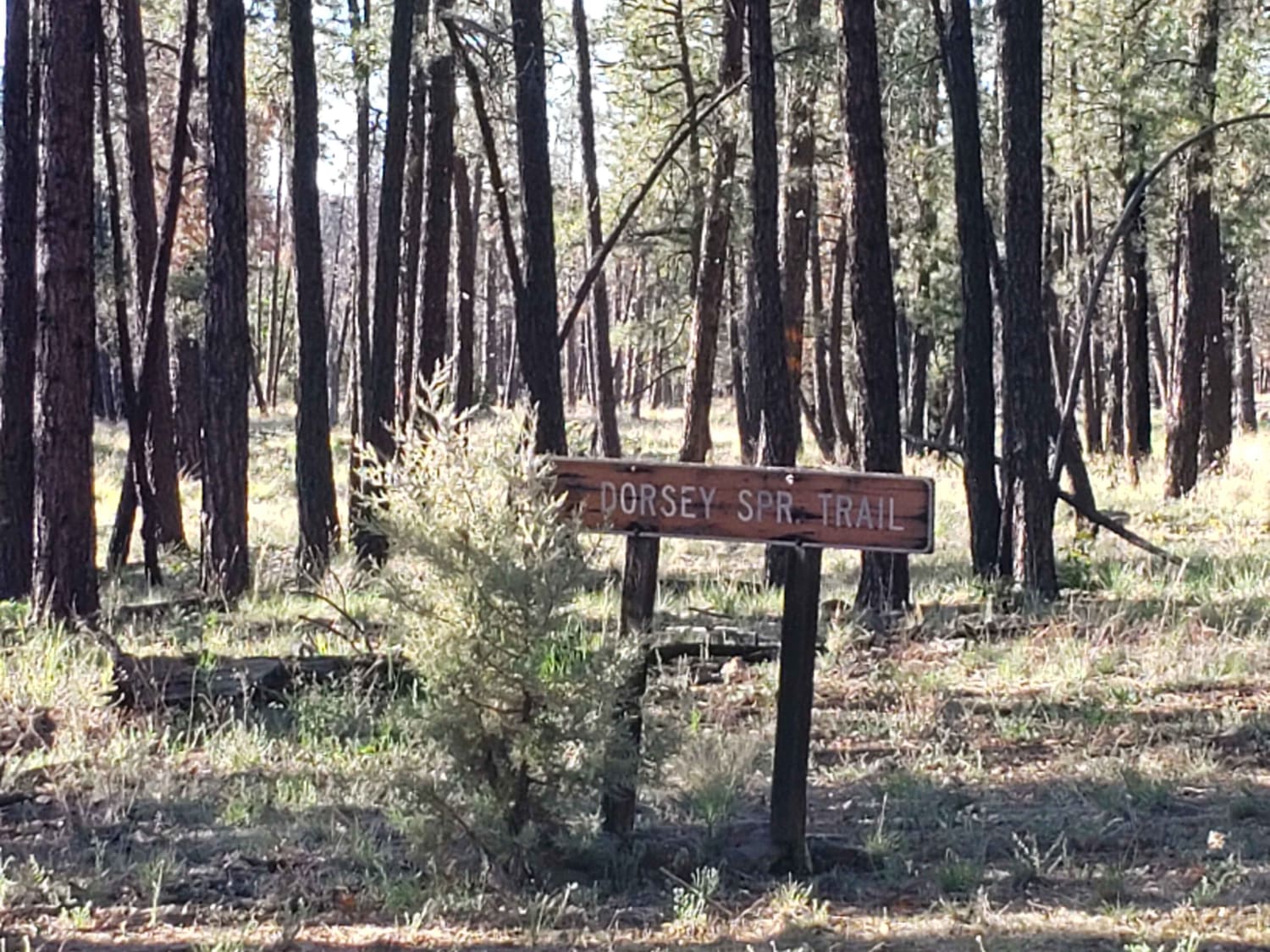
In the winter season, the road is closed and not maintained. It will be muddy when wet. There are very rocky in sections that require 4x4 and high clearance. Mostly one-car in width, with a…
Learn more about Dorsey Spring Trailhead
Total Miles
0.8
Tech Rating
3 Easy
Best Time
Spring, Summer, Fall
Learn more about Double Tank Trailhead
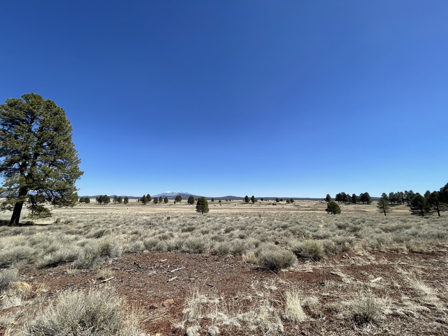
Double Tank Trailhead

Double Tank Trailhead

This easy washboard road leads to two different starting options for the Sycamore Canon loop hiking trail. While there is no camping at either of the trailheads, a keen eye will spot one or two…
Learn more about Double Tank Trailhead
Total Miles
3.9
Tech Rating
2 Easy
Best Time
Fall, Summer, Spring
Learn more about Douglas Ranch Road
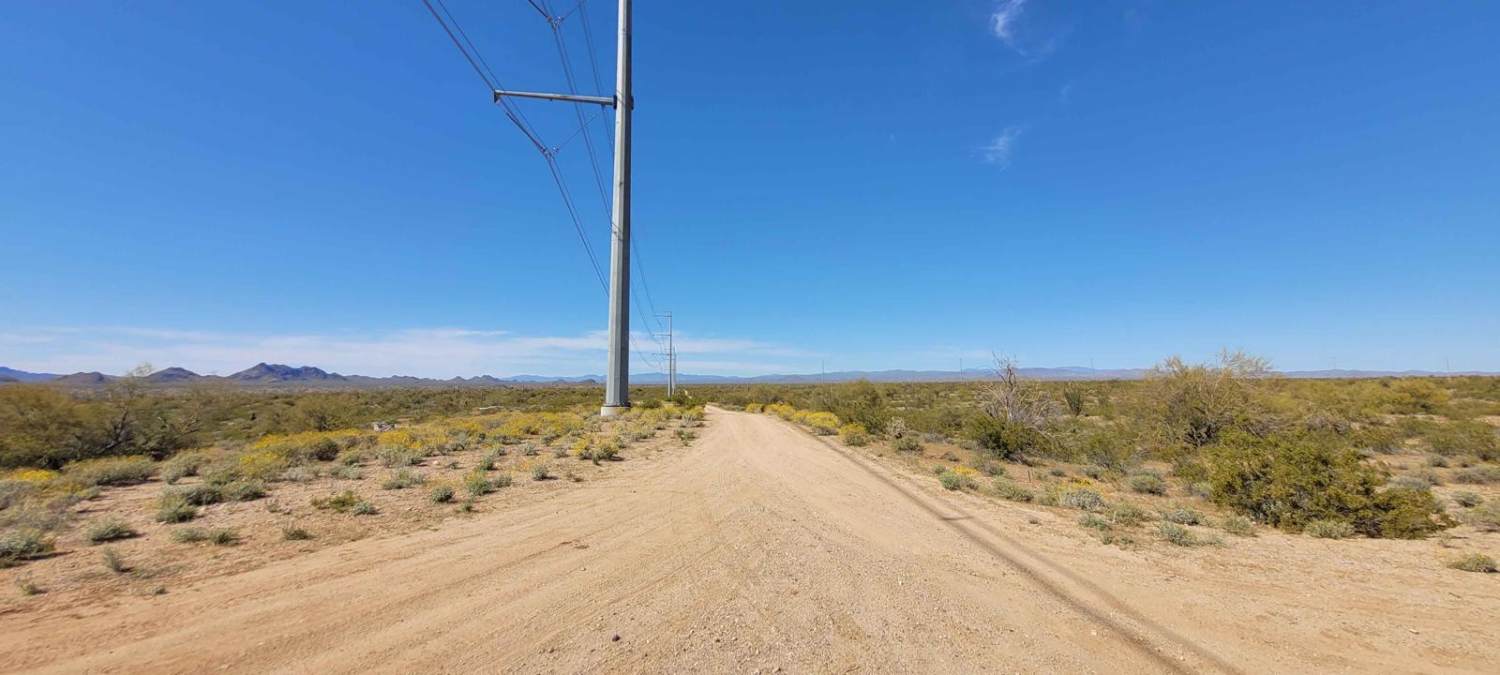
Douglas Ranch Road

Douglas Ranch Road

This is a nice full-width dirt road trail--roughly 20 feet wide for the majority--with a couple of small, hard-packed, sandy areas. There is a gate at the beginning and end of the trail. Please remember…
Learn more about Douglas Ranch Road
Total Miles
5.9
Tech Rating
2 Easy
Best Time
Spring, Summer, Fall, Winter
Learn more about Dripping Springs
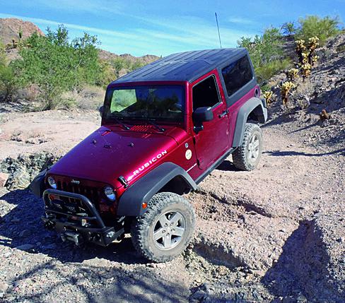
Dripping Springs

Dripping Springs

This is a fun desert drive east of Quartzsite. This area offers a good number of side roads to add to your adventure. You'll end at Dripping Springs where you'll get to see some old…
Learn more about Dripping Springs
Total Miles
5.6
Tech Rating
3 Moderate
Best Time
Fall, Winter, Spring
Learn more about Dripping Springs Southern Loop
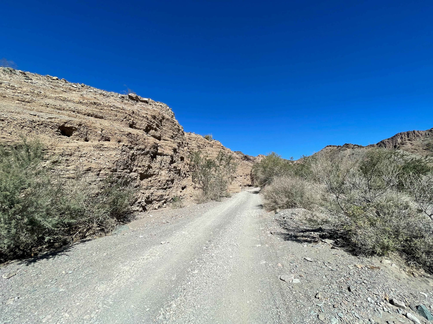
Dripping Springs Southern Loop

Dripping Springs Southern Loop

This desert run is along the southern loop of the dripping springs trail. This track ends in a riverbed at an advanced rock ledge and climbs where lockers and high clearance are required. Traffic was…
Learn more about Dripping Springs Southern Loop
Total Miles
4.5
Tech Rating
5 Moderate
Best Time
Spring, Fall, Winter
Learn more about Dry Gulch Trail
Dry Gulch Trail

Dry Gulch Trail

Dry Gulch Trail starts as a wide dirt road, with plenty of room for two vehicles to pass each other. As you progress, the trail narrows to a two-track, and then eventually peters out in…
Learn more about Dry Gulch Trail
Total Miles
2.0
Tech Rating
2 Easy
Best Time
Spring, Summer, Fall

The onX Offroad Difference

onX Offroad combines trail photos, descriptions, difficulty ratings, width restrictions, seasonality, and more in a user-friendly interface. Available on all devices, with offline access and full compatibility with CarPlay and Android Auto. Discover what you’re missing today!