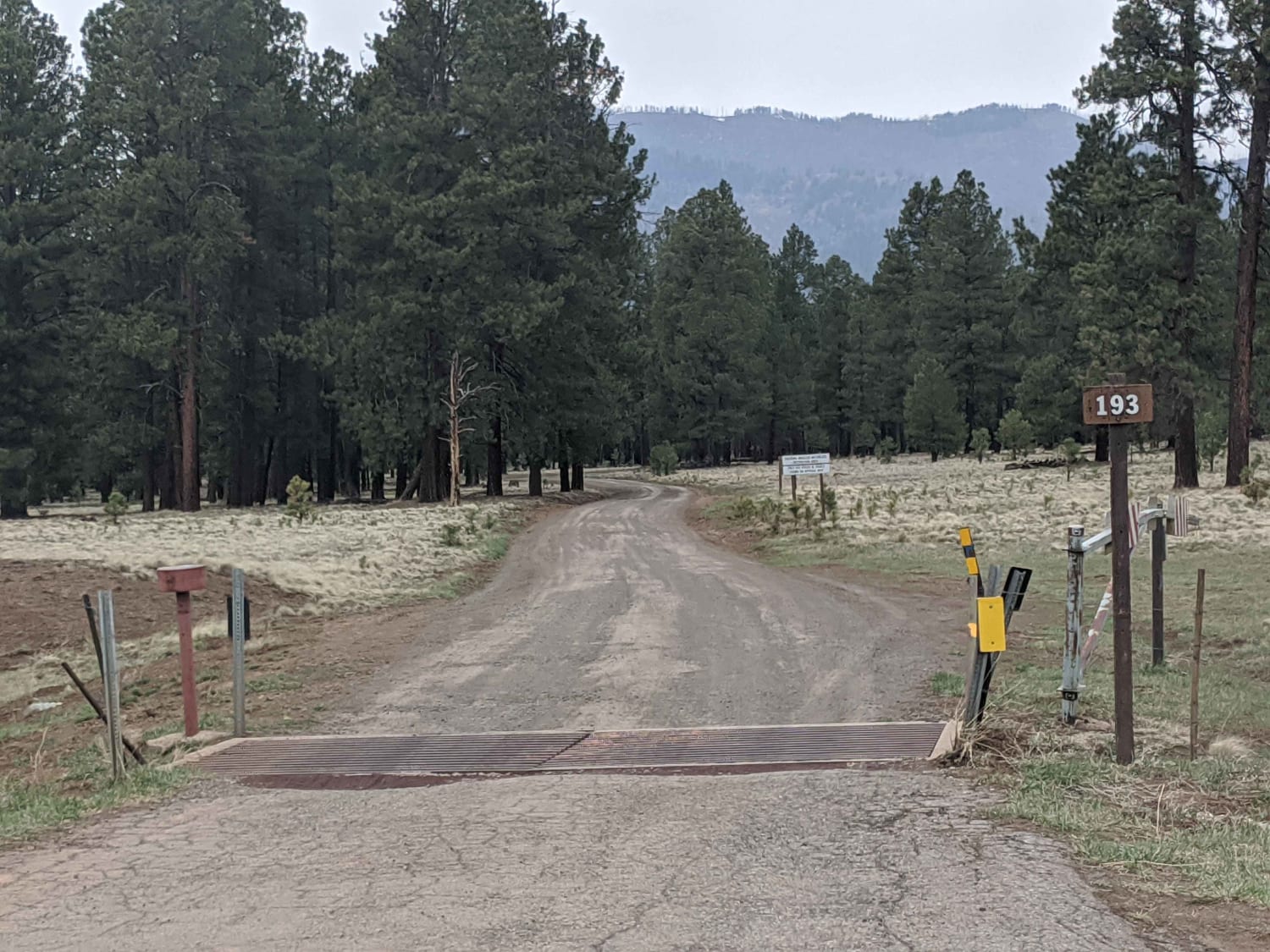
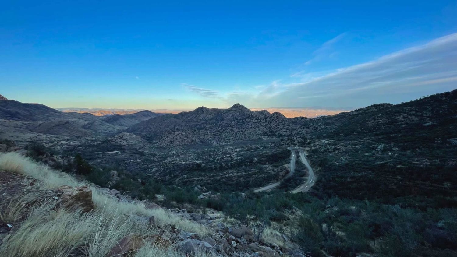
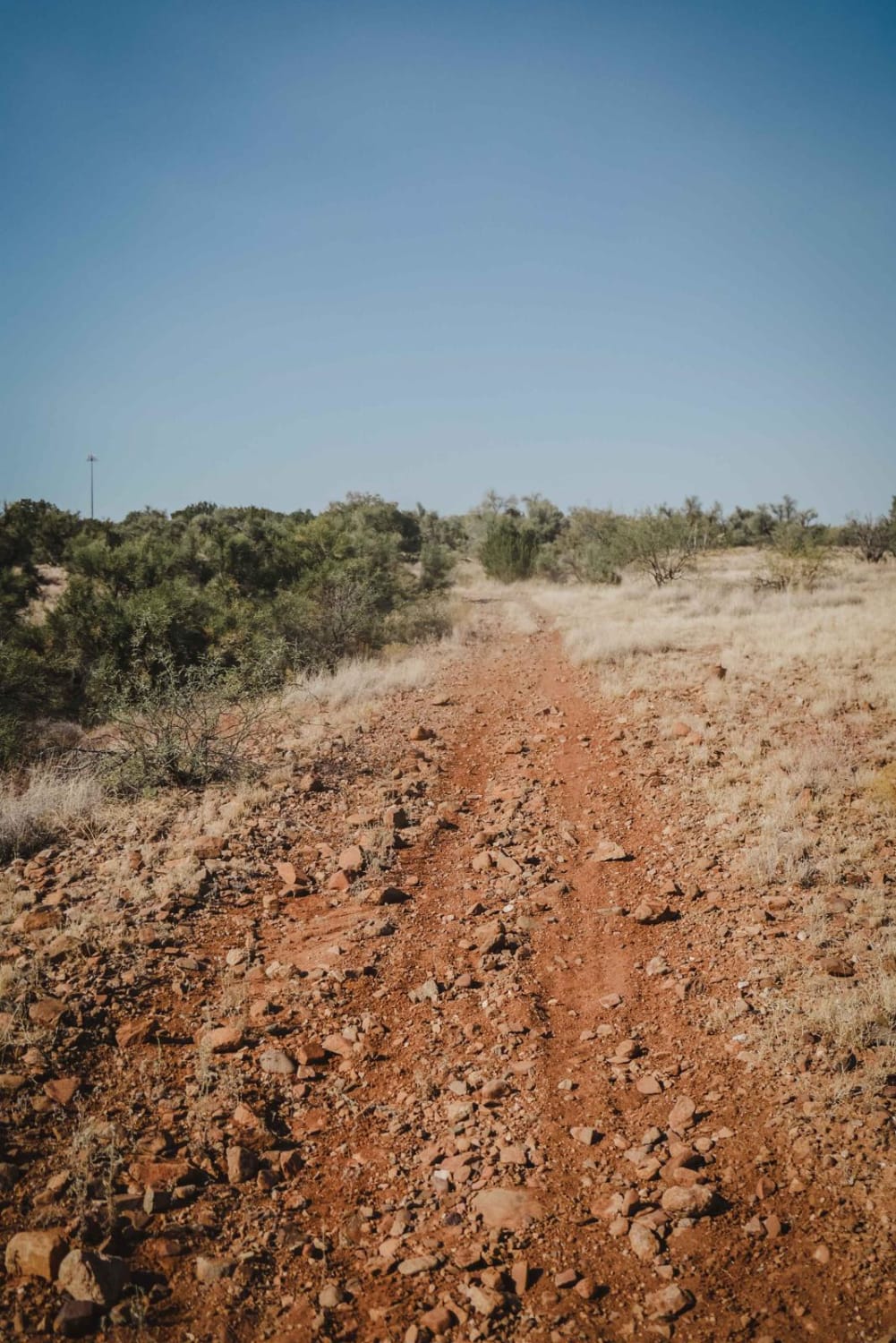
Off-Road Trails in Arizona
Discover off-road trails in Arizona
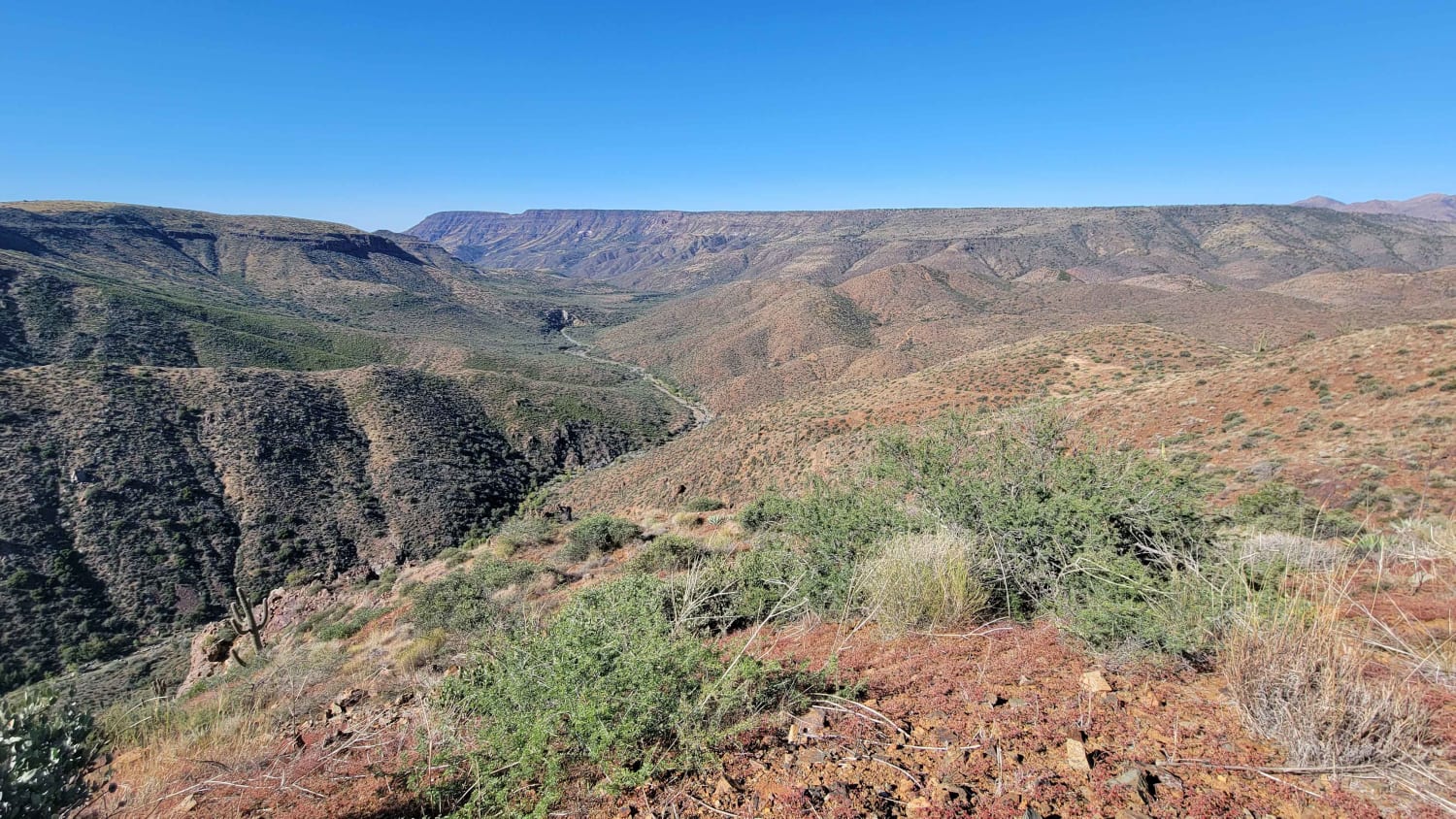
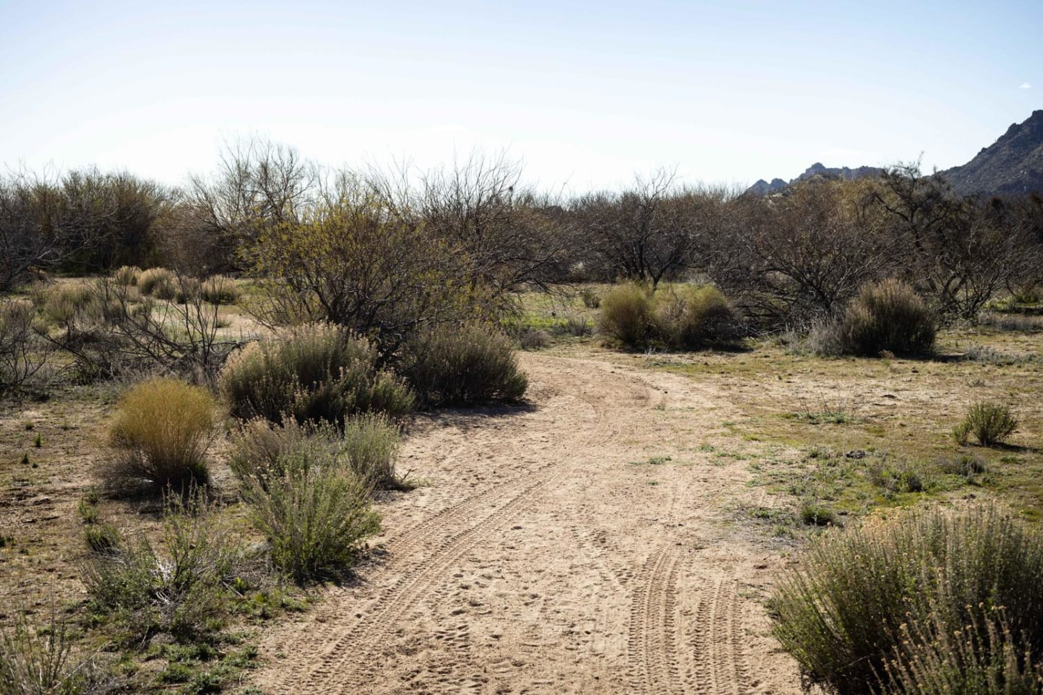
Learn more about Coyote Wash West

Coyote Wash West
Total Miles
1.9
Tech Rating
Moderate
Best Time
Winter, Fall, Spring
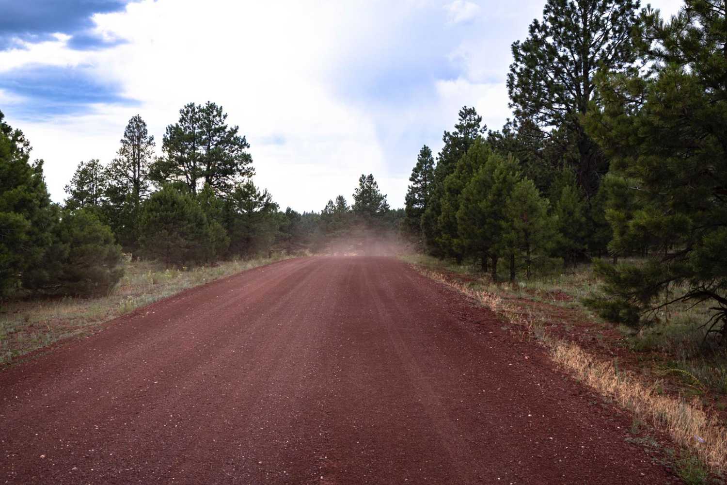
Learn more about Crackerjack Mesa- FS 209

Crackerjack Mesa- FS 209
Total Miles
5.0
Tech Rating
Moderate
Best Time
Fall, Summer
Learn more about Cramm Mountain Loop
Cramm Mountain Loop
Total Miles
1.1
Tech Rating
Easy
Best Time
Spring, Summer, Fall, Winter
Learn more about Cramm Trail
Cramm Trail
Total Miles
2.2
Tech Rating
Moderate
Best Time
Spring, Summer, Fall
Learn more about Crazy Park
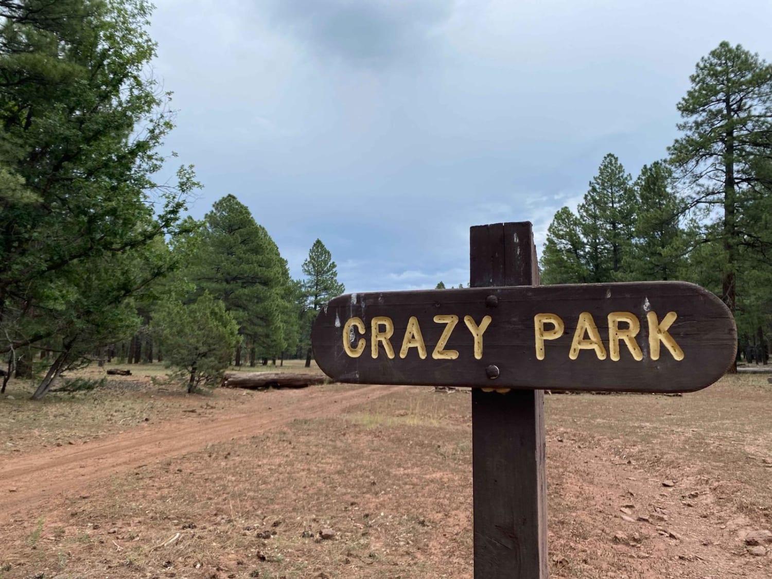
Crazy Park
Total Miles
4.5
Tech Rating
Easy
Best Time
Spring, Summer, Fall
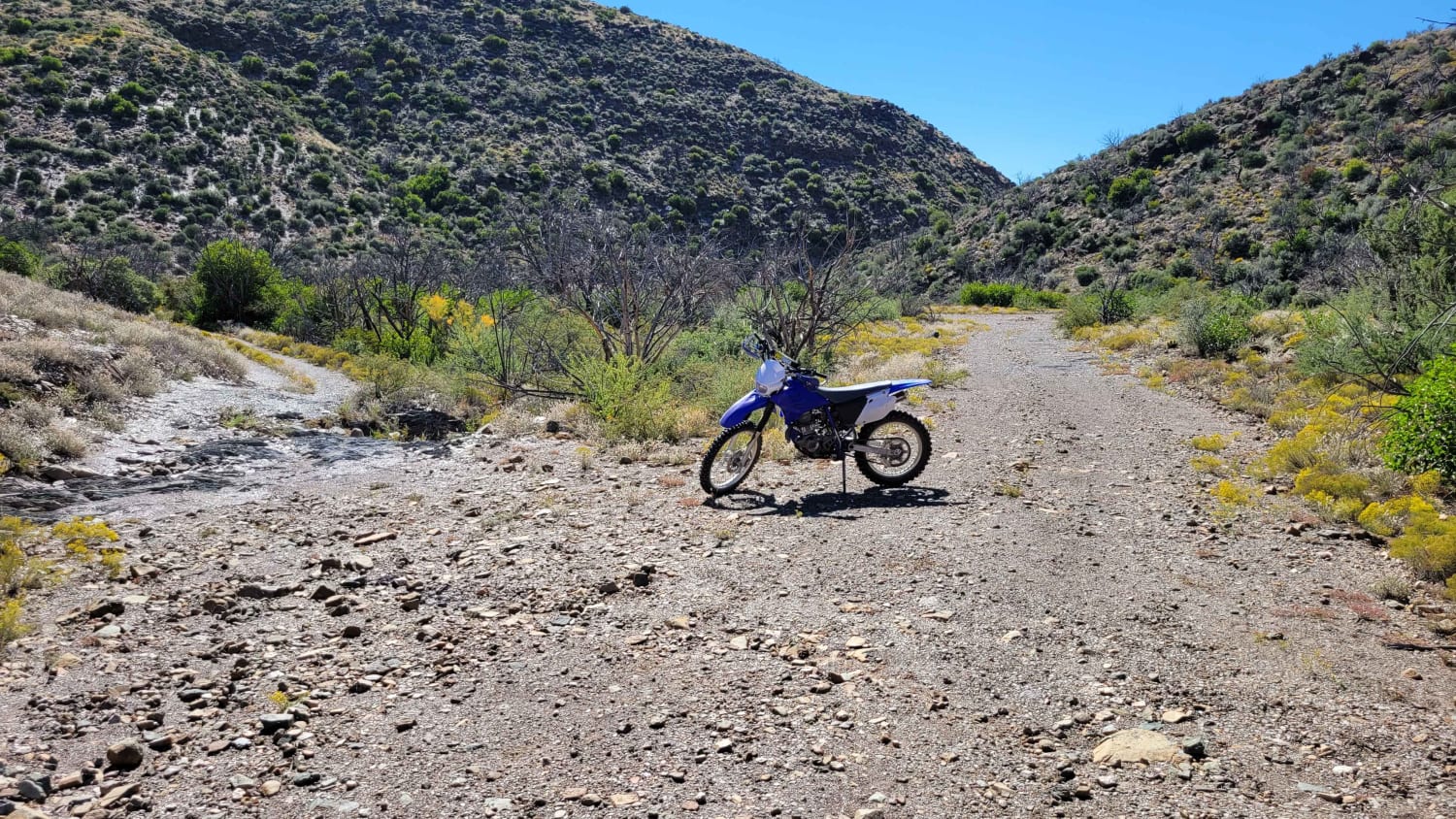
Learn more about Creosote Forest Run

Creosote Forest Run
Total Miles
1.7
Tech Rating
Easy
Best Time
Spring, Summer, Fall
Learn more about Crimson Road to FS 132 Junction
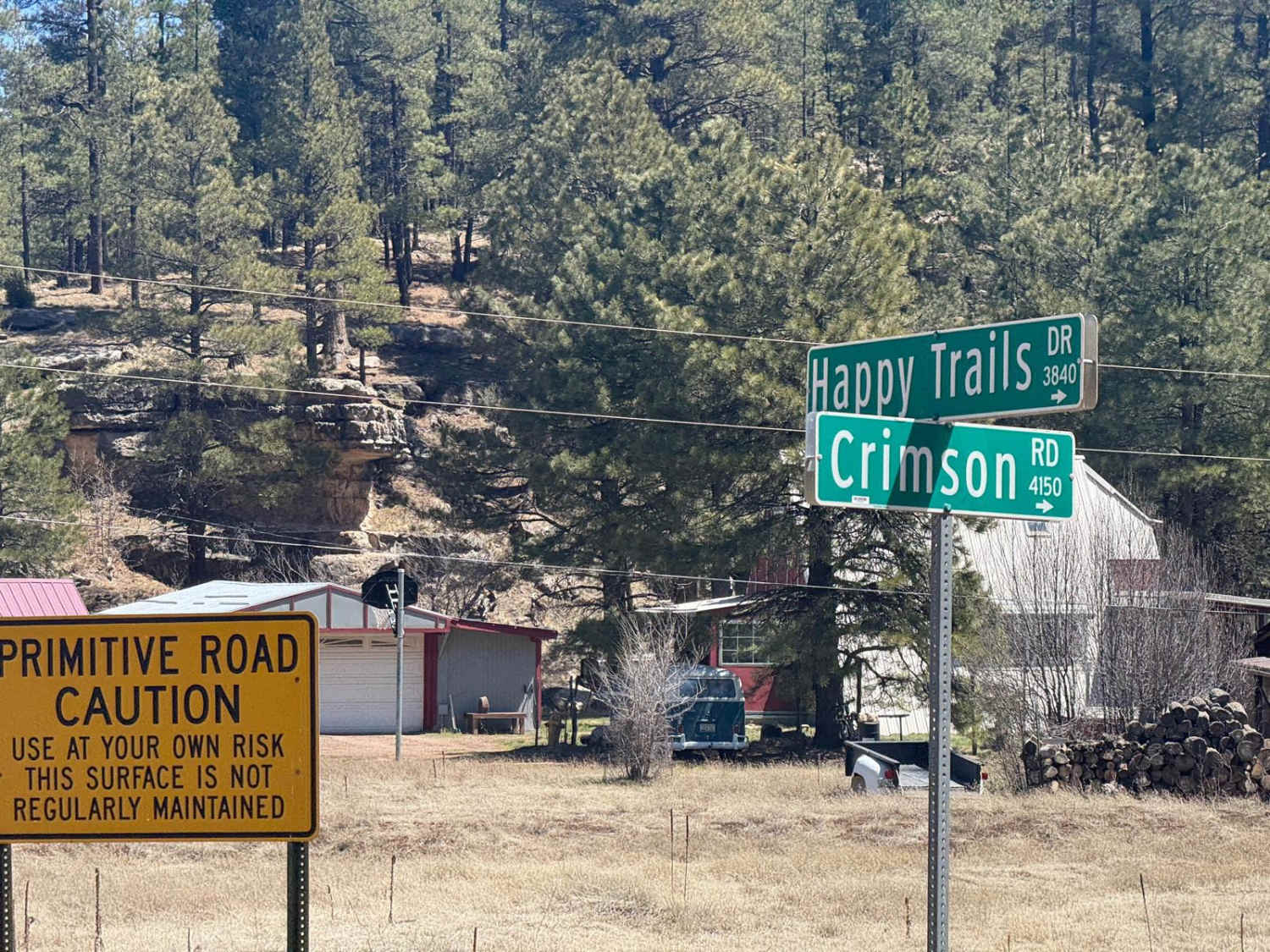
Crimson Road to FS 132 Junction
Total Miles
2.8
Tech Rating
Easy
Best Time
Spring, Fall, Summer
Learn more about Crowley Road
Crowley Road
Total Miles
3.3
Tech Rating
Easy
Best Time
Spring, Summer, Fall
Learn more about Crown King Road
Crown King Road
Total Miles
26.1
Tech Rating
Easy
Best Time
Winter, Summer, Fall, Spring
Learn more about Crown King to Castle Springs - Alternate to "Backway"
Crown King to Castle Springs - Alternate to "Backway"
Total Miles
42.5
Tech Rating
Moderate
Best Time
Spring, Fall
Learn more about Crucifixion #9703
Crucifixion #9703
Total Miles
2.7
Tech Rating
Easy
Best Time
Spring, Fall, Winter
Learn more about Cruikshank Cabin Spur
Cruikshank Cabin Spur
Total Miles
5.6
Tech Rating
Easy
Best Time
Spring, Summer, Fall, Winter
Learn more about Crystal Hill
Crystal Hill
Total Miles
5.3
Tech Rating
Easy
Best Time
Winter, Spring, Fall
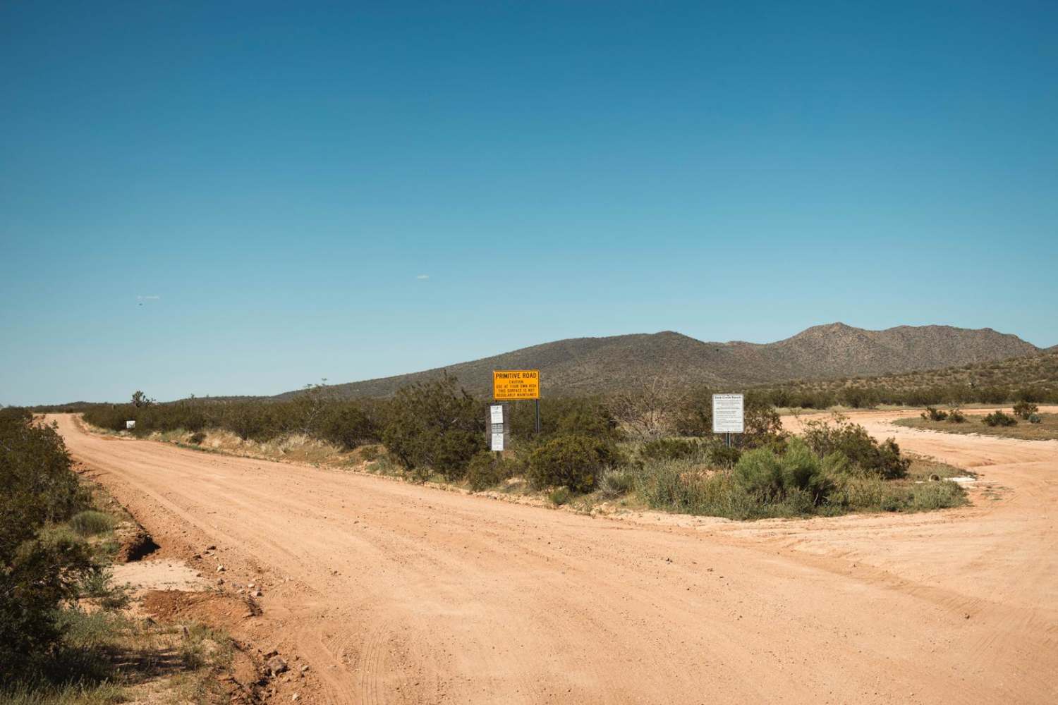
Learn more about Date Creek Cutoff

Date Creek Cutoff
Total Miles
2.9
Tech Rating
Easy
Best Time
Spring, Summer, Fall
Learn more about Date Creek Foothill
Date Creek Foothill
Total Miles
3.8
Tech Rating
Easy
Best Time
Spring, Summer, Fall
Learn more about Date Creek Ranch Road
Date Creek Ranch Road
Total Miles
3.8
Tech Rating
Easy
Best Time
Spring, Summer, Fall
Learn more about Dateland Hidden Canyon
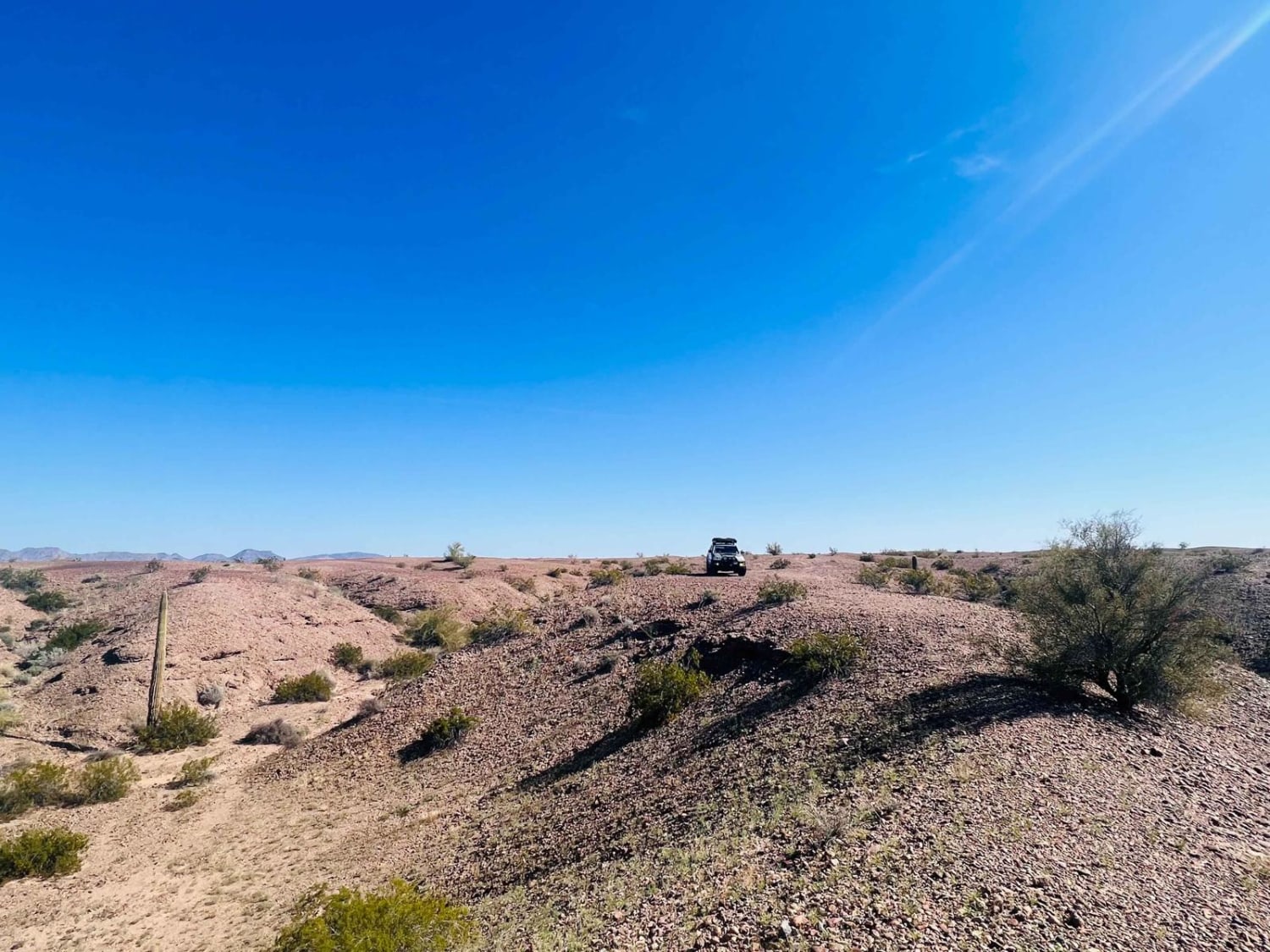
Dateland Hidden Canyon
Total Miles
4.4
Tech Rating
Easy
Best Time
Spring, Fall
Learn more about Davenport 66
Davenport 66
Total Miles
2.7
Tech Rating
Easy
Best Time
Spring, Summer, Fall
The onX Offroad Difference
onX Offroad combines trail photos, descriptions, difficulty ratings, width restrictions, seasonality, and more in a user-friendly interface. Available on all devices, with offline access and full compatibility with CarPlay and Android Auto. Discover what you’re missing today!