Off-Road Trails in Arizona

Discover off-road trails in Arizona

Learn more about Cippriano Pass
Cippriano Pass

Cippriano Pass

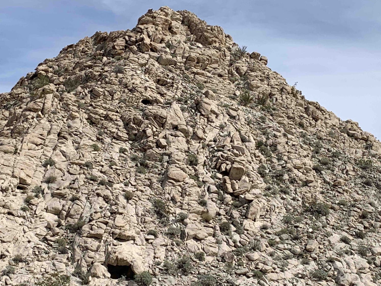
Cippriano Pass is a desert ride located in the USAF Barry Goldwater Range southeast of Yuma. The ride consists of some wide-open throttle, flat, straight gravel roads coupled with some mountainous trail riding on rocky,…
Learn more about Cippriano Pass
Total Miles
20.0
Tech Rating
2 Easy
Best Time
Spring, Winter, Summer, Fall
Learn more about Clark Airport Connector
Clark Airport Connector

Clark Airport Connector

This trail is a connector trail, and travels from the airport in Williams, AZ to the Kaibab National Forest to the East. The Western side of this trail is mostly two lanes wide of red…
Learn more about Clark Airport Connector
Total Miles
5.9
Tech Rating
2 Easy
Best Time
Spring, Summer, Fall
Learn more about Clark Peak Loop
Clark Peak Loop

Clark Peak Loop

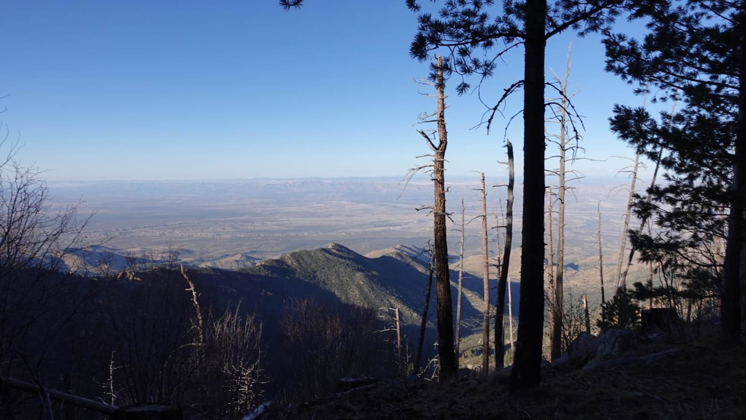
This trail is at the top of Clark Peak with many camping spots and incredible views of the desert floor. The trail gets tighter the farther you go back into it and the back end…
Learn more about Clark Peak Loop
Total Miles
8.8
Tech Rating
4 Moderate
Best Time
Spring, Summer, Fall
Learn more about Clear Creek Canyon(FR-677)
Clear Creek Canyon(FR-677)

Clear Creek Canyon(FR-677)

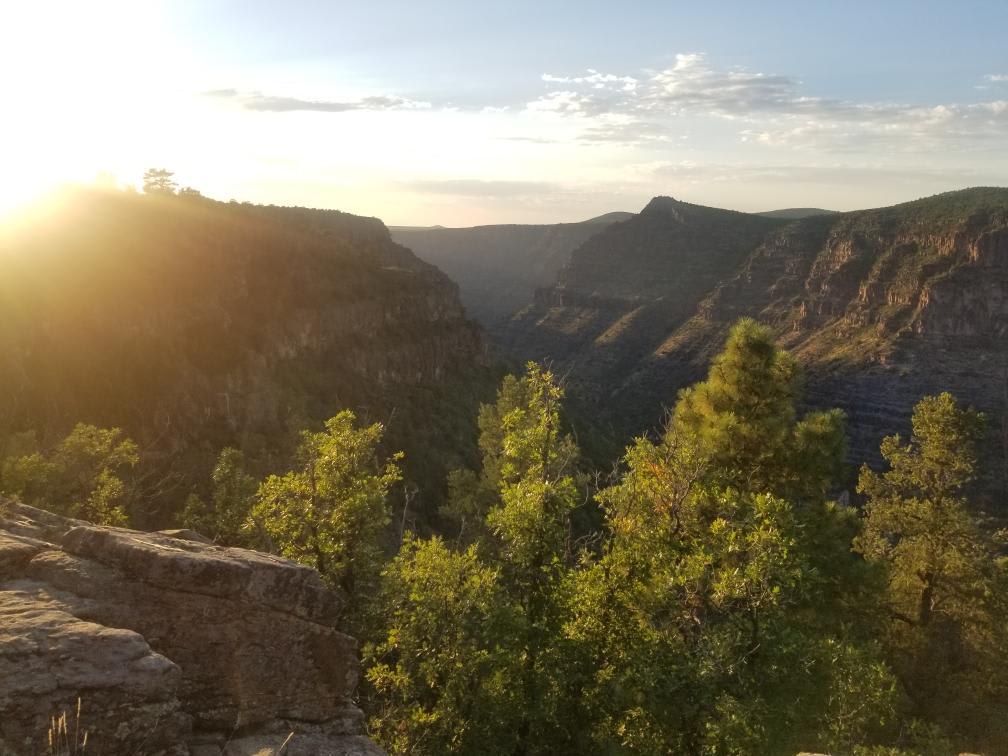
This trail begins off Highway 260 (approximately 6 miles east of the 87), and ends at the southern rim of West Clear Creek Canyon. There is no sign for the turnoff. If you blink, you…
Learn more about Clear Creek Canyon(FR-677)
Total Miles
3.7
Tech Rating
3 Easy
Best Time
Spring, Summer, Fall, Winter
Learn more about Clear Creek Pines Loop
Clear Creek Pines Loop

Clear Creek Pines Loop

This is a well-maintained loop that you can access from Highway 3, Saint Mary's Road. Two private neighborhoods on this trail are packed full of adorable cabins. Signs are posted to drive slowly to minimize…
Learn more about Clear Creek Pines Loop
Total Miles
3.4
Tech Rating
1 Easy
Best Time
Spring, Summer, Fall
Learn more about Cliffhanger Trail
Cliffhanger Trail

Cliffhanger Trail

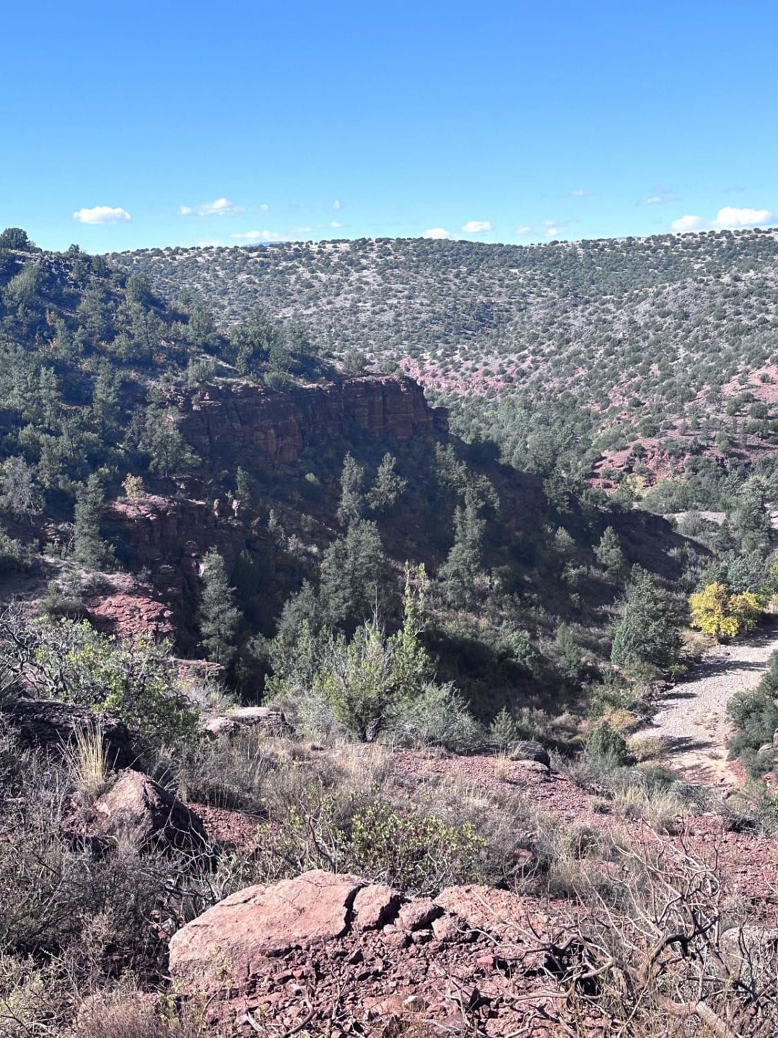
This point-to-point trail takes you from Red Rock Loop Road to Highway 89A. If you veer south halfway down the trail, you'll reach the trailhead for the Oak Creek Trail. This is a short 0.5-mile…
Learn more about Cliffhanger Trail
Total Miles
3.6
Tech Rating
4 Moderate
Best Time
Spring, Summer, Fall, Winter
Learn more about Clover Spr Maintained
Clover Spr Maintained

Clover Spr Maintained

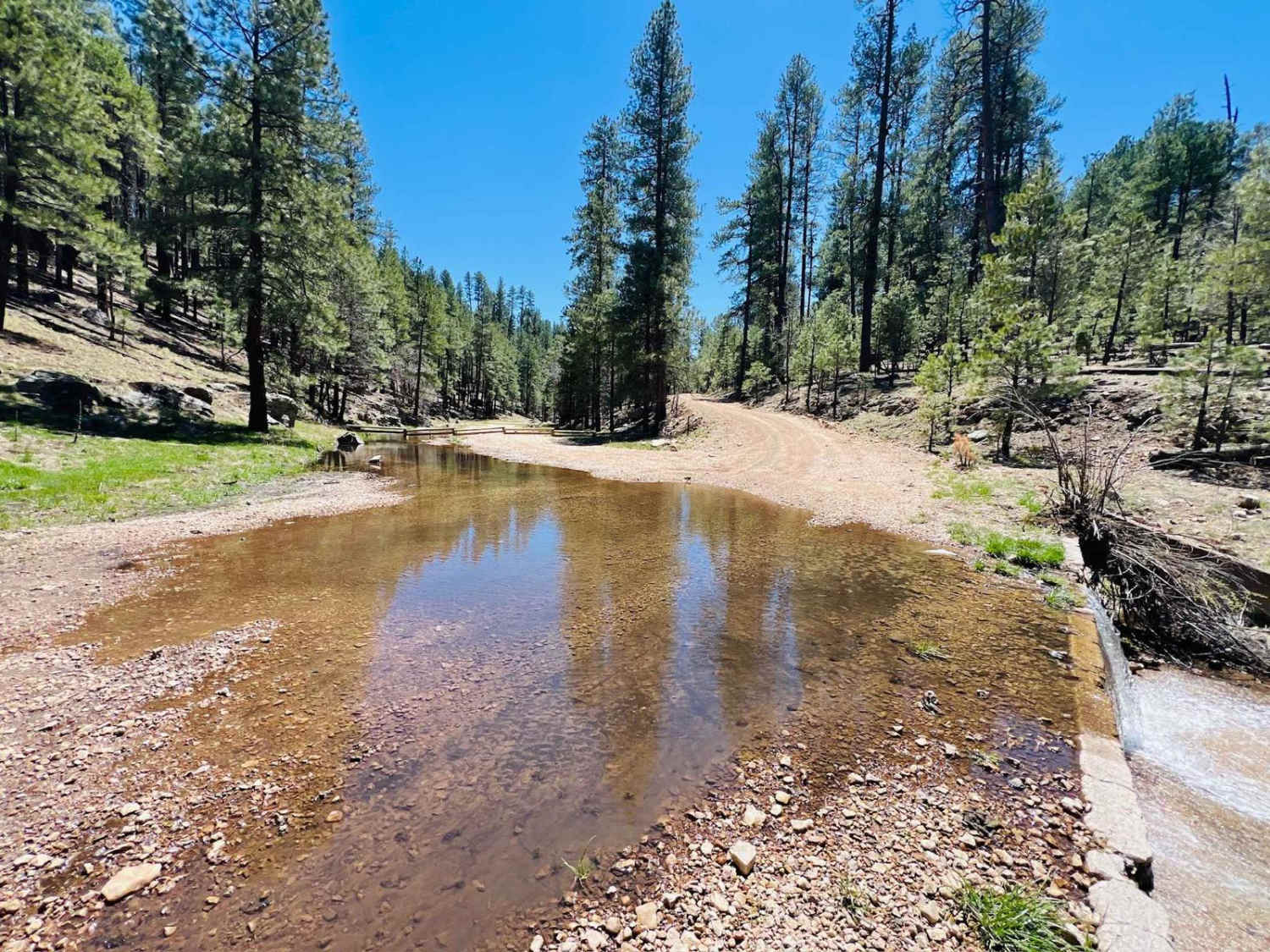
This trail runs from the highway all the way to Tom's Creek, where the trail crosses the Tom's Creek water crossing. At that point, the trail heads uphill and turns into a narrow cliff-side shelf…
Learn more about Clover Spr Maintained
Total Miles
8.8
Tech Rating
2 Easy
Best Time
Spring, Summer, Fall
Learn more about Clover Spr Moderate
Clover Spr Moderate

Clover Spr Moderate

This is not the end of the Clover Spur Trail you want to use if you come in with an RV or truck and trailer. This turns into a very rocky trail with several rock…
Learn more about Clover Spr Moderate
Total Miles
3.2
Tech Rating
4 Moderate
Best Time
Spring, Fall, Summer
Learn more about Coal Mine Road FR-4859
Coal Mine Road FR-4859

Coal Mine Road FR-4859

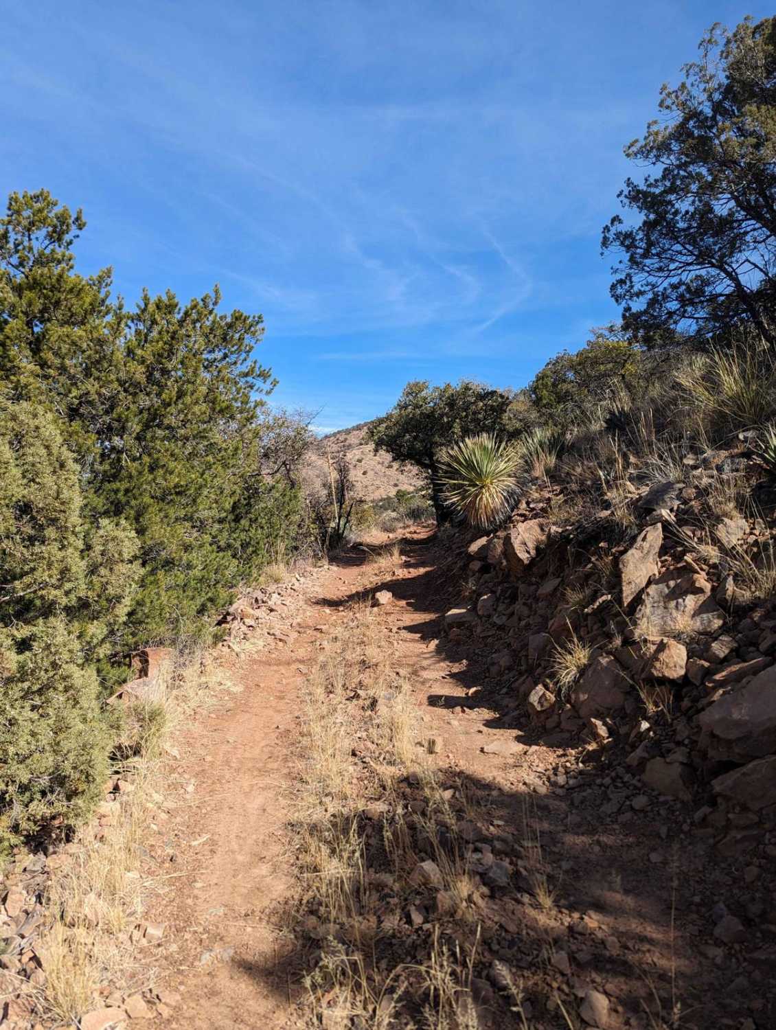
Enjoy incredible mountain views and scattered cacti along this road. Pronghorns, mule deer, and bobcats are also prevalent in the area, as are black-tailed prairie dogs. Most of the trail is hard-packed dirt road. Be…
Learn more about Coal Mine Road FR-4859
Total Miles
1.3
Tech Rating
1 Easy
Best Time
Spring, Summer, Fall, Winter
Learn more about Cohenour Loop
Cohenour Loop

Cohenour Loop

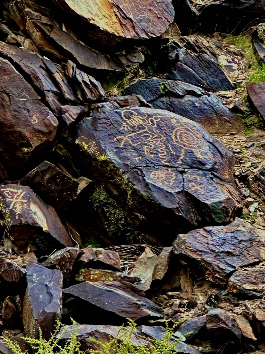
This 17.5-mile loop trail takes you through a petroglyph wash and passes the Old Cohenour Mine. Don't miss the petroglyphs at 3 miles into the trail (right before the loop). This trail is passable by…
Learn more about Cohenour Loop
Total Miles
17.6
Tech Rating
2 Easy
Best Time
Spring, Summer, Fall, Winter
Learn more about Colcord
Colcord

Colcord

Colcord is a short, mellow trail that is stuck between two sections of private property. Mostly a short fence line trail, there are no obstacles on this trail other than some mild erosion. There is…
Learn more about Colcord
Total Miles
1.0
Tech Rating
1 Easy
Best Time
Spring, Fall, Winter
Learn more about Cole Campbell
Cole Campbell

Cole Campbell

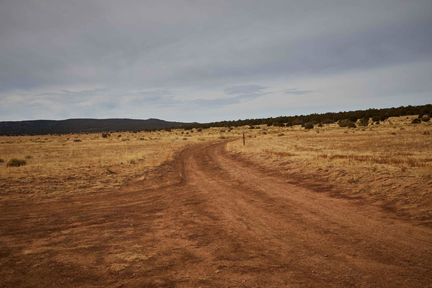
Cole Campbell is a great way to start or end your day of trail running. Wide enough to enjoy the scenery, the only real obstructions on this trail are the mud ruts if they happen…
Learn more about Cole Campbell
Total Miles
3.9
Tech Rating
2 Easy
Best Time
Spring, Summer, Fall
Learn more about Colorado River View
Colorado River View

Colorado River View

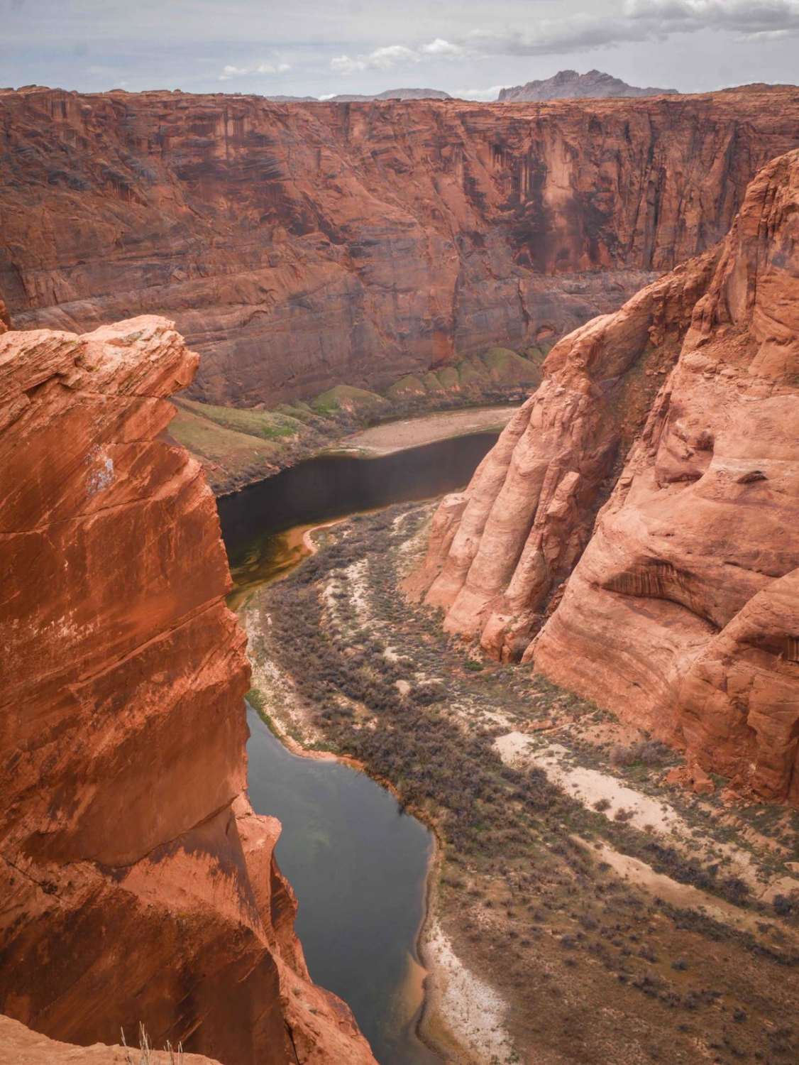
This 1.8-mile track takes you from Highway 89 out to the canyon overlooking the Colorado River via a rocky powerline road. It starts out with slab rock on hardpacked sand and dirt underneath powerlines. It's…
Learn more about Colorado River View
Total Miles
1.7
Tech Rating
3 Easy
Best Time
Spring, Winter, Fall
Learn more about Columbus Wash
Columbus Wash

Columbus Wash

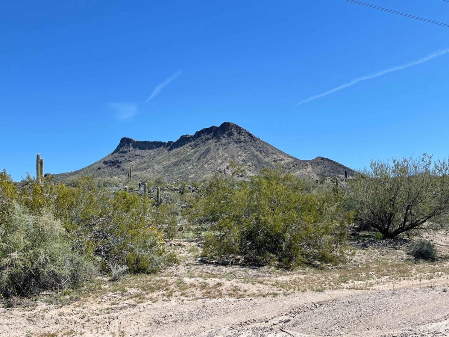
What a fun wash; it's not as open and easy as some of the other ones in the area. This one has more technical sections and narrow parts. There are a few steep drops and…
Learn more about Columbus Wash
Total Miles
5.1
Tech Rating
4 Moderate
Best Time
Spring, Fall, Winter
Learn more about Combat Village Spur
Combat Village Spur

Combat Village Spur

This is an easy spur to ride into a US Military training camp set up to simulate a mid-eastern settlement, complete with mosques, a soccer field, tanks, artillery, surface-to-air missile launchers, and even an abandoned…
Learn more about Combat Village Spur
Total Miles
0.5
Tech Rating
2 Easy
Best Time
Spring, Summer, Fall, Winter
Learn more about Committee Tank Trail
Committee Tank Trail

Committee Tank Trail

Committee Tank Trail stretches just over one mile long and is a portion of FS 9494F. The surface of this trail alternates between dirt and rocks. The trail is relatively flat and takes you past…
Learn more about Committee Tank Trail
Total Miles
1.3
Tech Rating
3 Easy
Best Time
Spring, Summer, Fall
Learn more about Compression Station Road
Compression Station Road

Compression Station Road

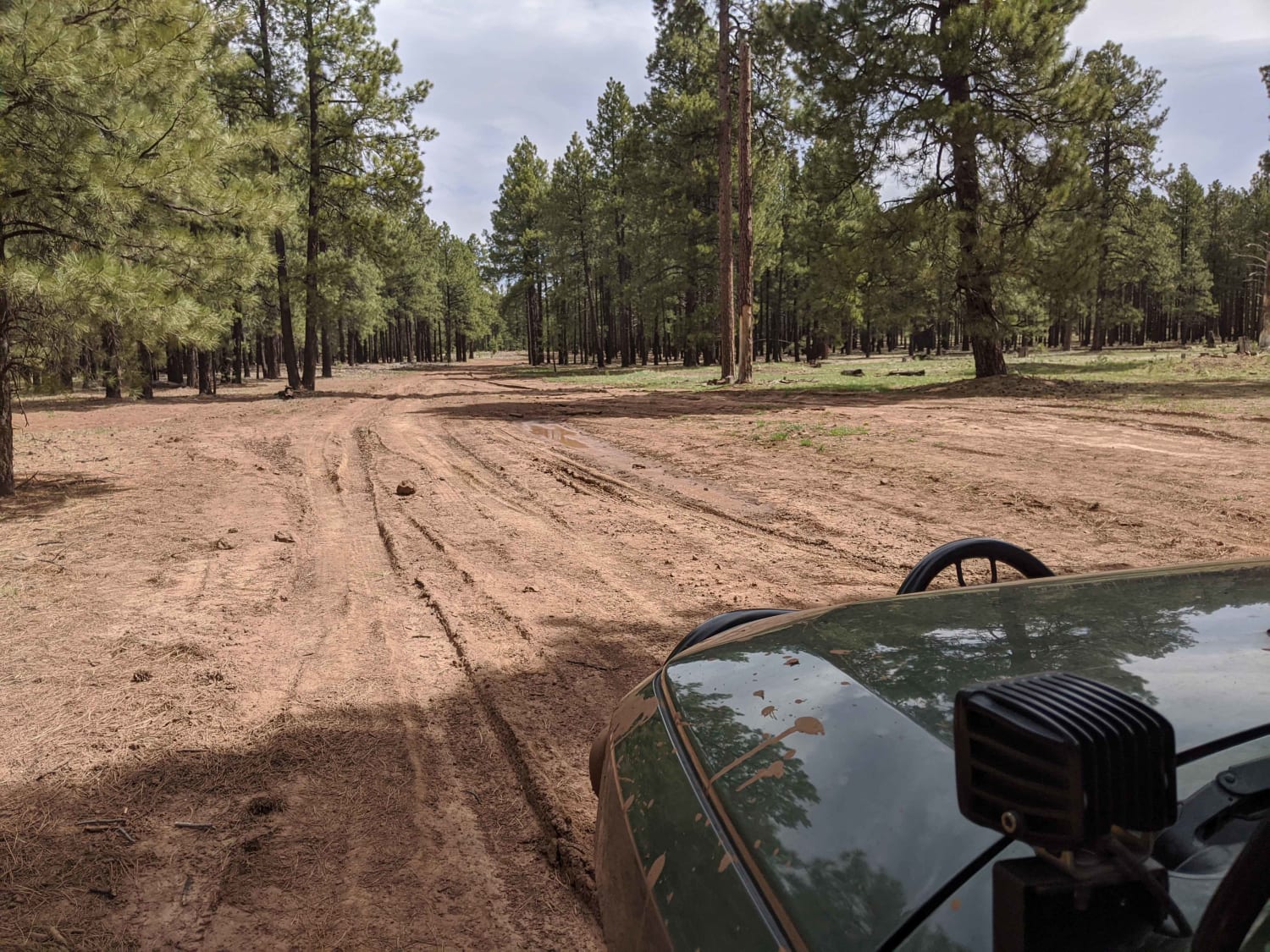
Can be difficult when wet, the road becomes extremely muddy, and there is a possibility of getting stuck even with 4WD. Has spotty cell phone service throughout the area. There are a few camp spots…
Learn more about Compression Station Road
Total Miles
3.1
Tech Rating
2 Easy
Best Time
Spring, Summer, Fall, Winter
Learn more about Conger Water
Conger Water

Conger Water

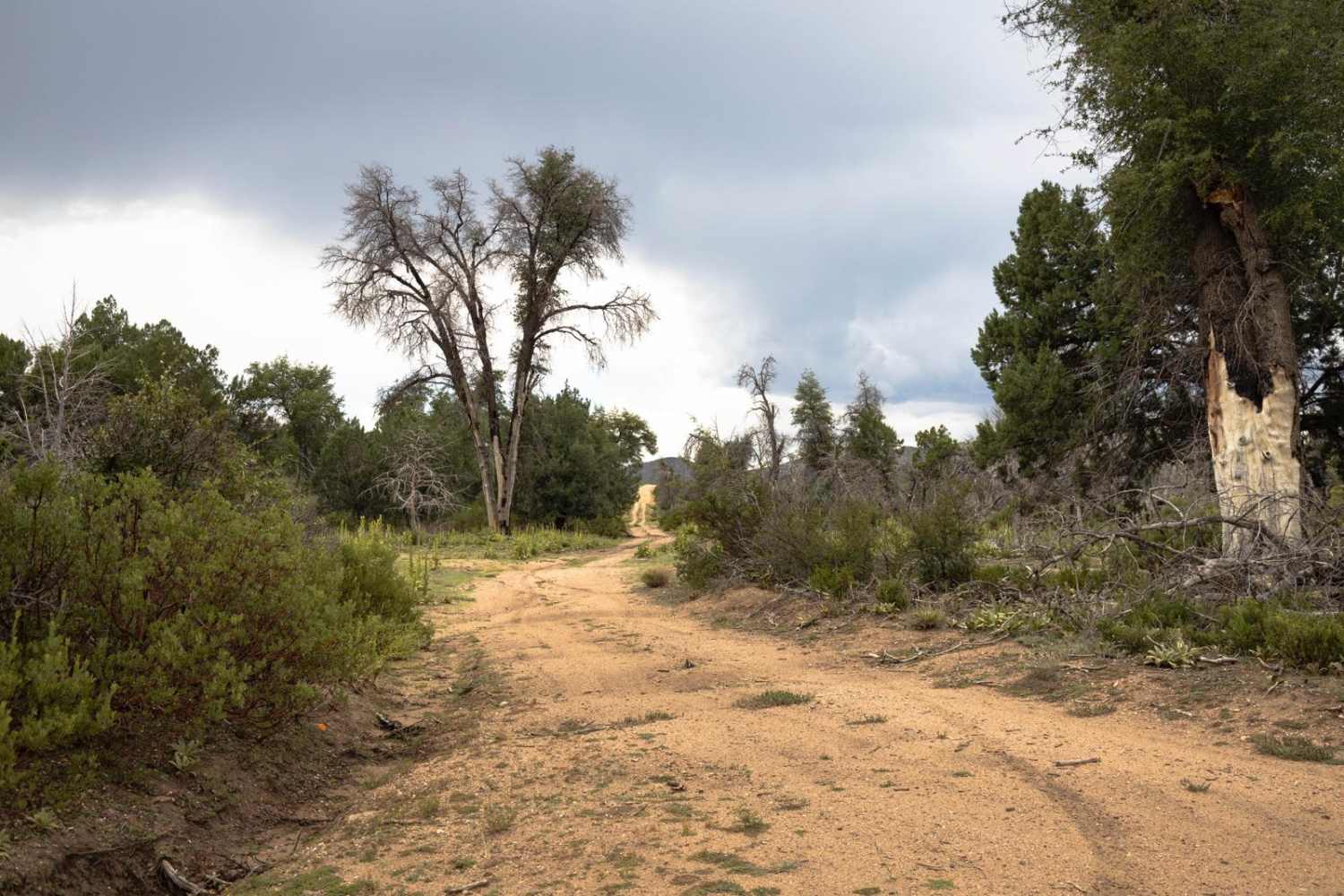
Conger Water is a rocky trail, with erosion and water damage throughout. There are numerous wash crossings on this trail, as well as sections of shelf road, rock gardens, and off camber wash crossings with…
Learn more about Conger Water
Total Miles
6.3
Tech Rating
2 Easy
Best Time
Spring, Summer, Fall
Learn more about Congress Cross Cut
Congress Cross Cut

Congress Cross Cut

The Congress Cross Cut trail is a great trail for a few reasons. First, the access is immediately off of Arizona Highway 89. Second, it's a mellow trail that is great for getting your feet…
Learn more about Congress Cross Cut
Total Miles
3.3
Tech Rating
3 Easy
Best Time
Spring, Summer, Fall
Learn more about Connector Single Track
Connector Single Track

Connector Single Track

This is a fast and straight single track that is an east-west connector between two of the main dirt roads running north to south through the Dutchman Draw OHV area. It connects the Little Black…
Learn more about Connector Single Track
Total Miles
0.8
Tech Rating
1 Easy
Best Time
Spring, Winter, Fall

The onX Offroad Difference

onX Offroad combines trail photos, descriptions, difficulty ratings, width restrictions, seasonality, and more in a user-friendly interface. Available on all devices, with offline access and full compatibility with CarPlay and Android Auto. Discover what you’re missing today!