Off-Road Trails in Arizona

Discover off-road trails in Arizona

Learn more about Cottonwood Canyon
Cottonwood Canyon

Cottonwood Canyon

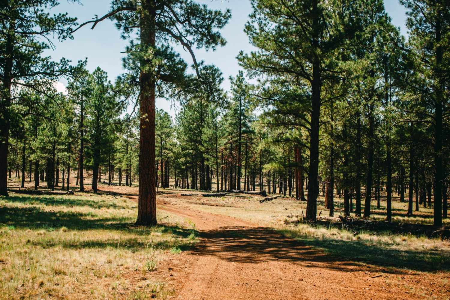
Cottonwood Canyon is an out-and-back wash trail--1.5+ miles one way, 3+ miles roundtrip--that leads bold adventurers into the tiny BLM sliver through the Mount Nutt Wilderness. Previous tire tracks indicate that others have been curious…
Learn more about Cottonwood Canyon
Total Miles
1.4
Tech Rating
6 Moderate
Best Time
Spring, Summer, Fall, Winter
Learn more about Cottonwood Cove-BLM1082
Cottonwood Cove-BLM1082

Cottonwood Cove-BLM1082

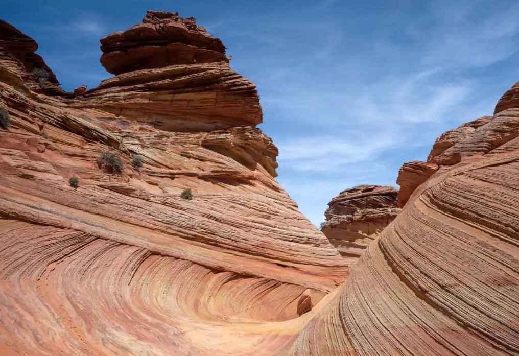
Cottonwood Cove-BLM1082 is a 7.4-mile out-and-back trail rated 3 of 10 located within the Vermillion Cliffs National Monument and adjacent to the Paria Canyon-Vermillion Cliffs Wilderness area. The trail starts in Poverty Flat at the…
Learn more about Cottonwood Cove-BLM1082
Total Miles
3.7
Tech Rating
3 Easy
Best Time
Spring, Summer
Learn more about Cottonwood Loop #509
Cottonwood Loop #509

Cottonwood Loop #509

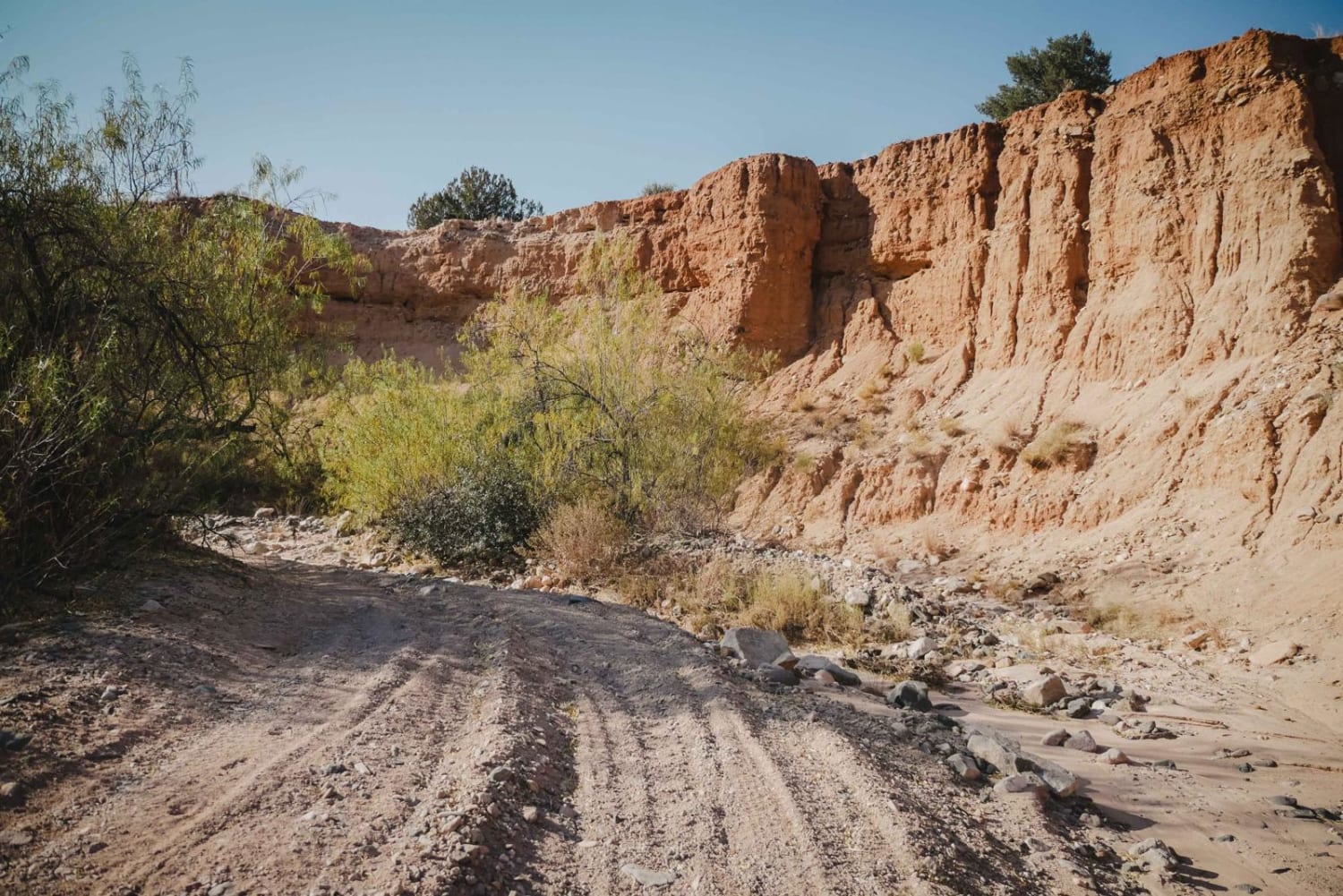
The Cottonwood Loop is a 7-mile ATV trail accessed from Hayfield Draw. From the east end, it starts off of Forest Service Road 9604C at an unmarked right turn that looks like a full-width road.…
Learn more about Cottonwood Loop #509
Total Miles
6.5
Tech Rating
3 Easy
Best Time
Spring, Fall, Winter
Learn more about Cottonwood Point
Cottonwood Point

Cottonwood Point

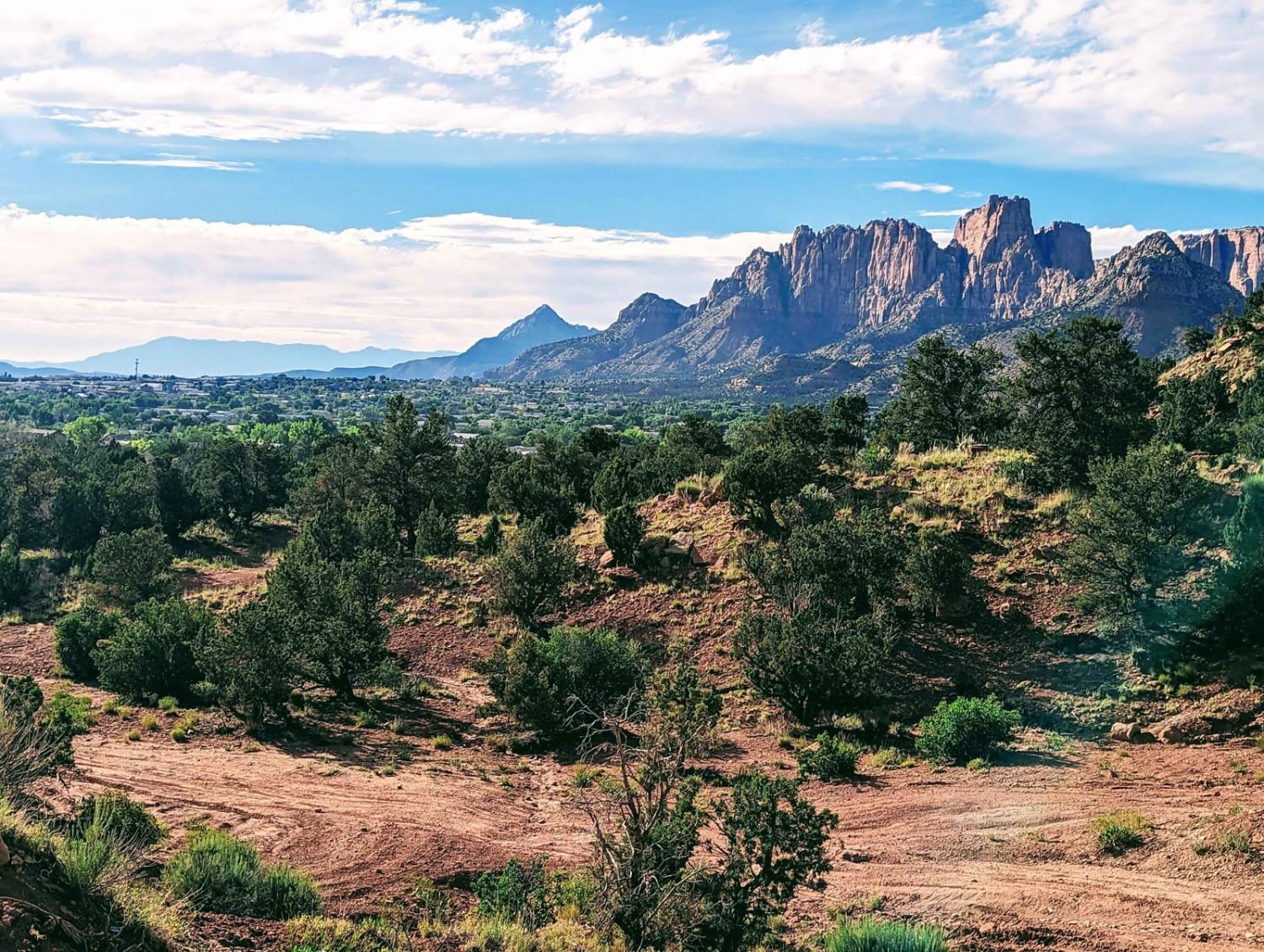
This beautiful trail winds through the trees, and offers wonderful views of the red rock faces of Cottonwood Point above. There are many options throughout this BLM area, ranging from fairly packed dirt to deep…
Learn more about Cottonwood Point
Total Miles
5.0
Tech Rating
3 Easy
Best Time
Winter, Fall, Summer, Spring
Learn more about Cottonwood Valley Overlook to Airport Coves
Cottonwood Valley Overlook to Airport Coves

Cottonwood Valley Overlook to Airport Coves

This trail begins or ends at the Cottonwood Valley overlook, where you can see Lake Mojave in multiple directions. There is no water access from this overlook. It is a series of canyons with the…
Learn more about Cottonwood Valley Overlook to Airport Coves
Total Miles
2.2
Tech Rating
2 Easy
Best Time
Spring, Fall
Learn more about Cougar Canyon
Cougar Canyon

Cougar Canyon

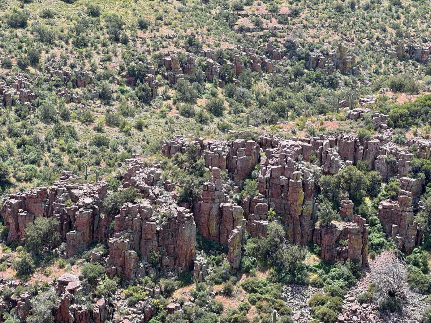
You can access this trail by starting on MT 30 and turning onto FDR 38. You'll drive on a cliff and end at the creek with some major overgrowth. It appears there's a way out,…
Learn more about Cougar Canyon
Total Miles
3.9
Tech Rating
5 Moderate
Best Time
Spring, Fall
Learn more about County Highway 125 - Route 7000
County Highway 125 - Route 7000

County Highway 125 - Route 7000

County Highway 125 - Route 7000 parallels Highway 93 and is a point-to-point connector route from Mineral Park Road to Cerbat Crest trail. It is a narrow, single-vehicle-wide trail that is unmaintained and has a…
Learn more about County Highway 125 - Route 7000
Total Miles
3.2
Tech Rating
4 Moderate
Best Time
Spring, Summer, Fall, Winter
Learn more about County Hwy 103-Twin Point
County Hwy 103-Twin Point

County Hwy 103-Twin Point

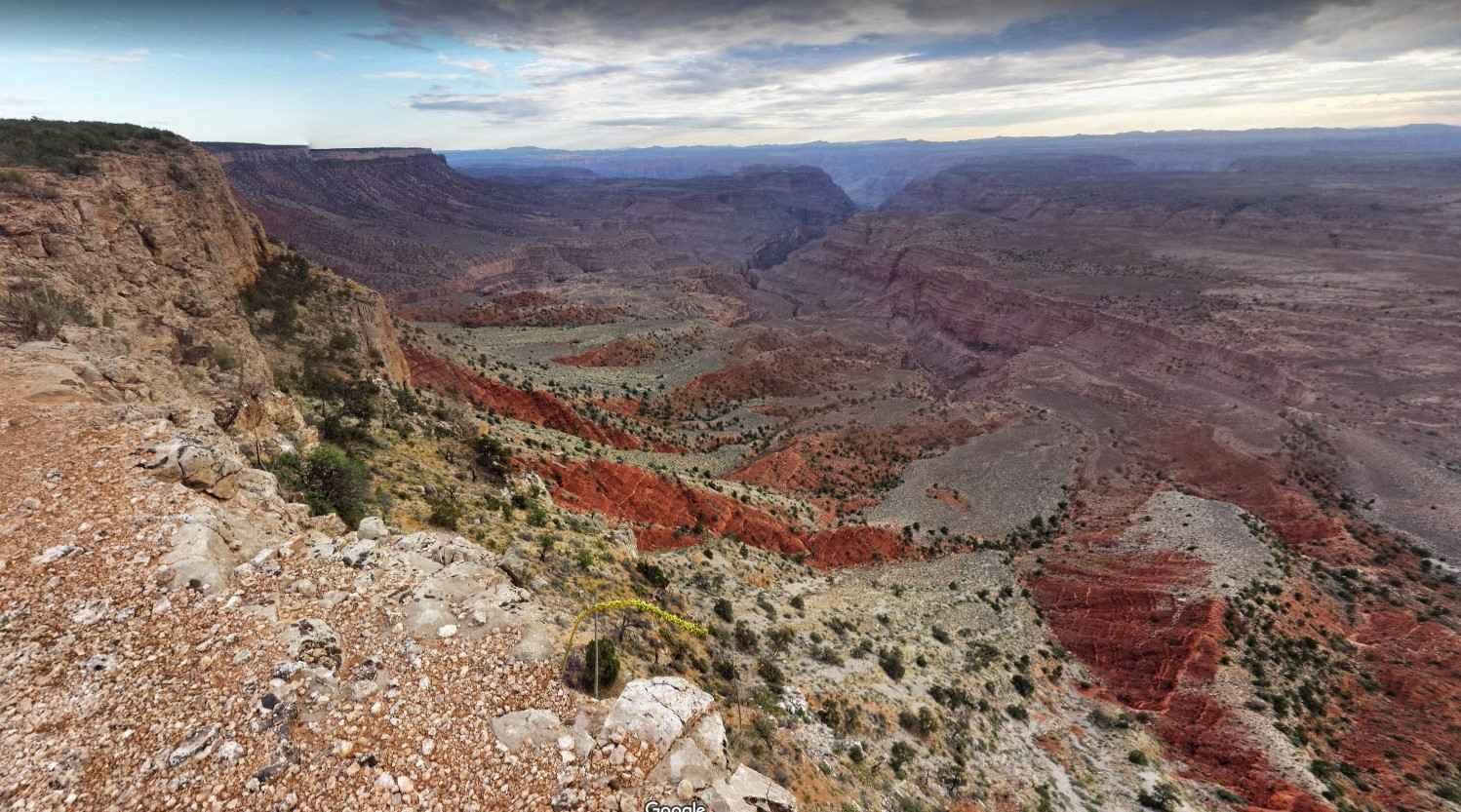
Mohave County Highway 103 is a dirt road that is rated 3 of 10 however, in bad weather can easily become a 6 or 7 rated or even impassable. The road extends from Mount Turmbull…
Learn more about County Hwy 103-Twin Point
Total Miles
51.8
Tech Rating
3 Easy
Best Time
Spring, Summer, Fall
Learn more about County Hwy 109/Mt. Trumbull Road
County Hwy 109/Mt. Trumbull Road

County Hwy 109/Mt. Trumbull Road

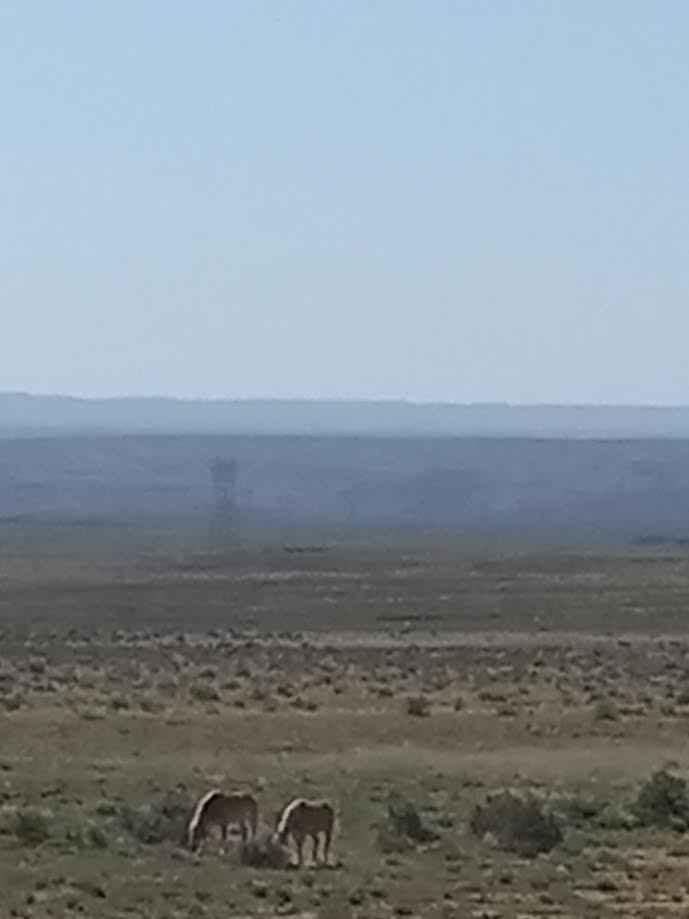
The road sign says Antelope Valley. It is a wide dirt, gravel, and sand trail that is rated at class 2. The trail is five miles east of Pipe Springs, AZ, and the South side…
Learn more about County Hwy 109/Mt. Trumbull Road
Total Miles
40.1
Tech Rating
2 Easy
Best Time
Spring, Summer, Fall, Winter
Learn more about County Hwy 5/Grand Canyon Toroweap Overlook
County Hwy 5/Grand Canyon Toroweap Overlook

County Hwy 5/Grand Canyon Toroweap Overlook

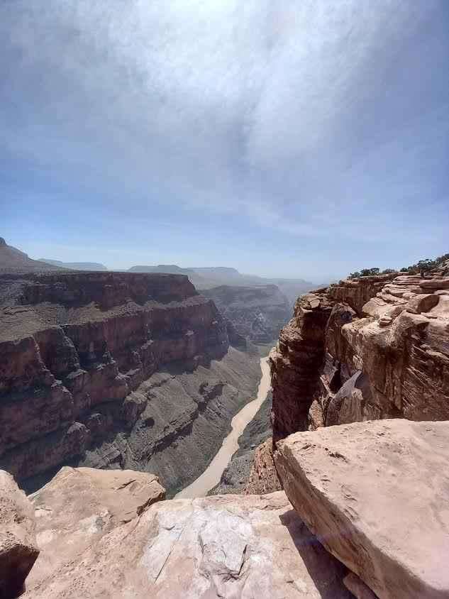
This trail follows a mostly well-graded county road with occasional washboarding and rutting. It travels from Colorado City, Arizona, to the trail that accesses the Tuweep area of Grand Canyon National Park and the Toroweap…
Learn more about County Hwy 5/Grand Canyon Toroweap Overlook
Total Miles
37.5
Tech Rating
2 Easy
Best Time
Spring, Summer, Fall, Winter
Learn more about Courthouse Rock
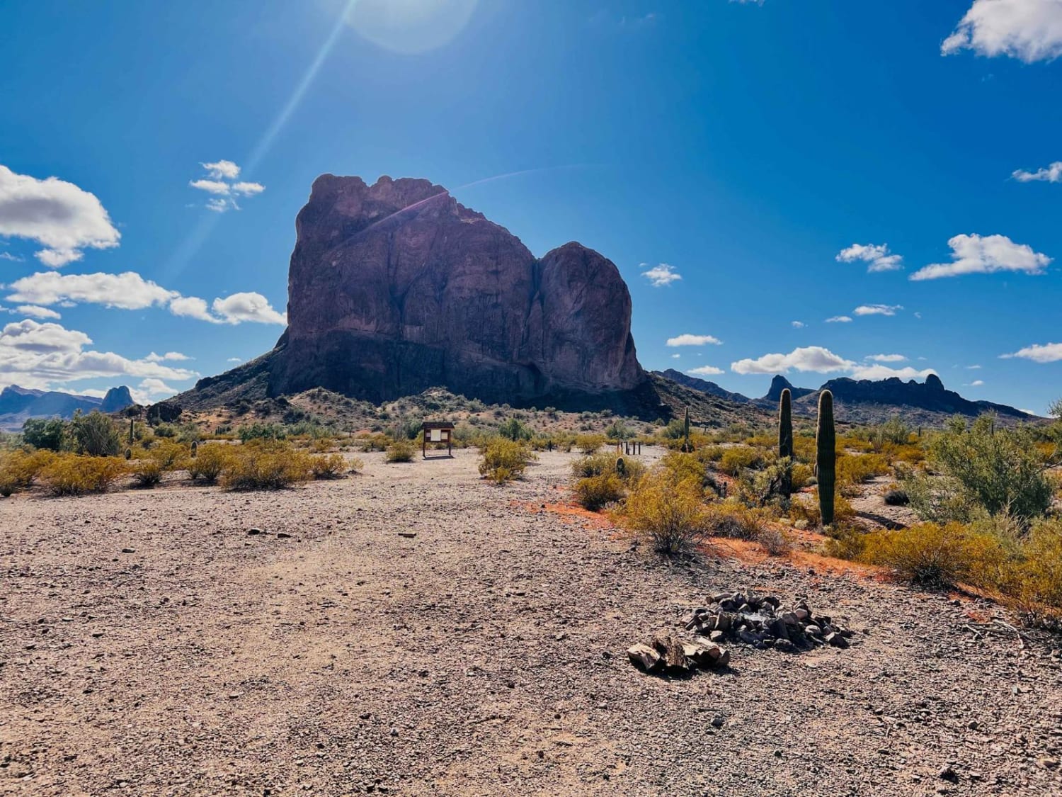
Courthouse Rock

Courthouse Rock

This trail is a fun loop that leads right to the Eagletail Mountain Wilderness boundary. From the boundary, there are plenty of camping and fire rings to base camp and continue on foot. Rock climbing…
Learn more about Courthouse Rock
Total Miles
4.1
Tech Rating
4 Moderate
Best Time
Spring, Fall, Winter
Learn more about Cow Paddy
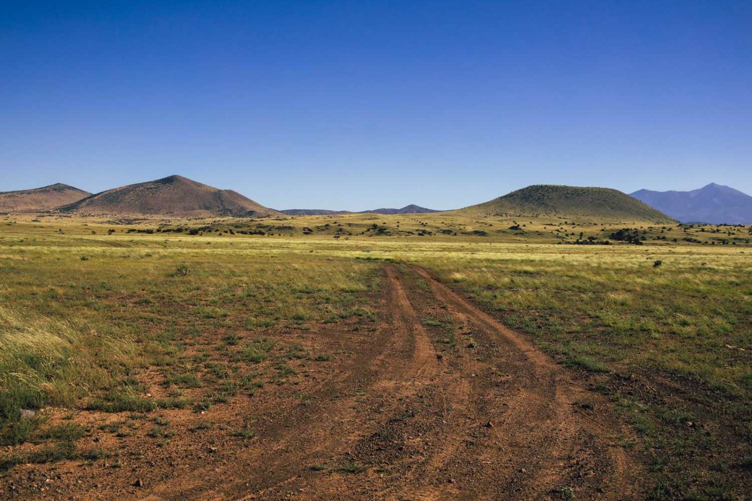
Cow Paddy

Cow Paddy

Cow Paddy is a trail that circumnavigates what seemed to (at the time) be 2 large herds of cattle, so....watch out for cattle on this trail. The speed won't be an issue along this trail…
Learn more about Cow Paddy
Total Miles
5.2
Tech Rating
2 Easy
Best Time
Spring, Summer, Fall
Learn more about Cow Paradise
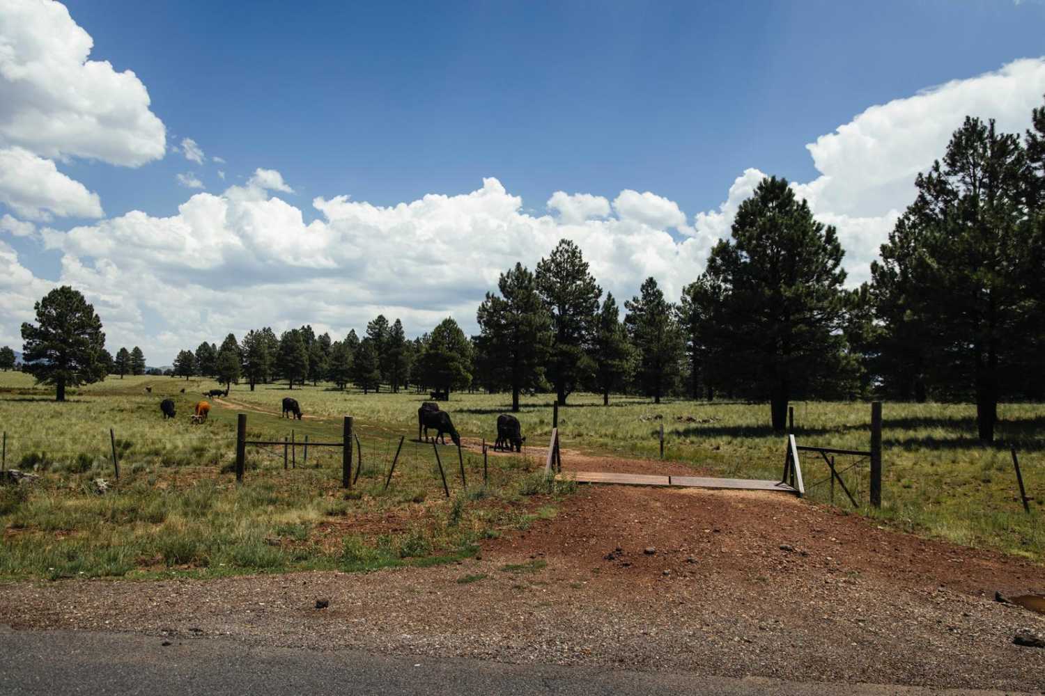
Cow Paradise

Cow Paradise

Cow Paradise and the adjacent trail 107 are two of the absolute gems of trails in the area. Open pasture, with beautiful views in all directions, Cow Paradise has no obstacles on it. There are…
Learn more about Cow Paradise
Total Miles
2.4
Tech Rating
1 Easy
Best Time
Spring, Summer, Fall
Learn more about Cow Tracks
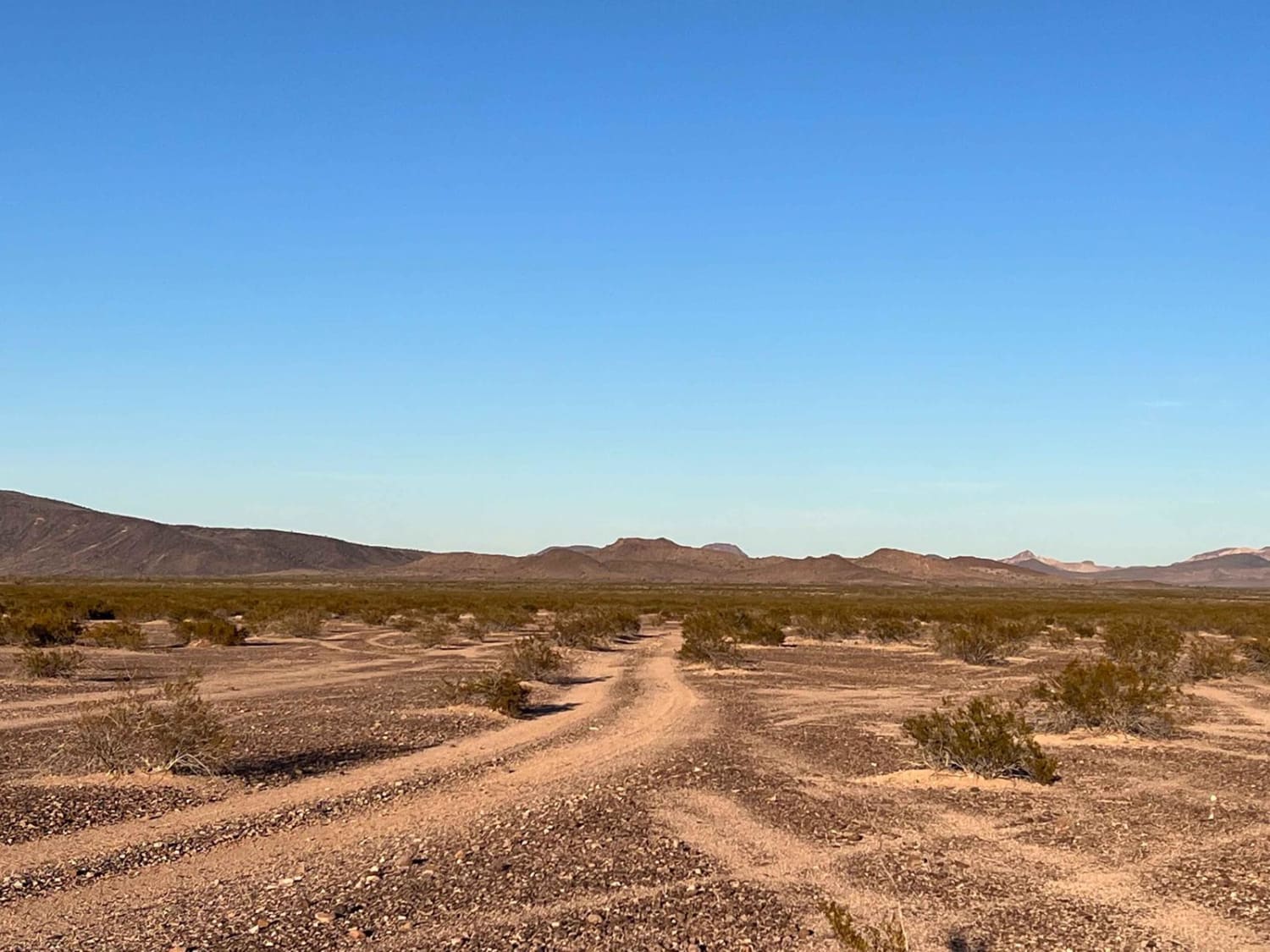
Cow Tracks

Cow Tracks

The cows know where to go. This trail is generally clear where to go, but there are some sections where serious braiding happens, and people have just driven wherever they want across the desert. Do…
Learn more about Cow Tracks
Total Miles
5.3
Tech Rating
4 Moderate
Best Time
Fall, Winter, Spring
Learn more about Cowpie Cowboy Trail
Cowpie Cowboy Trail

Cowpie Cowboy Trail

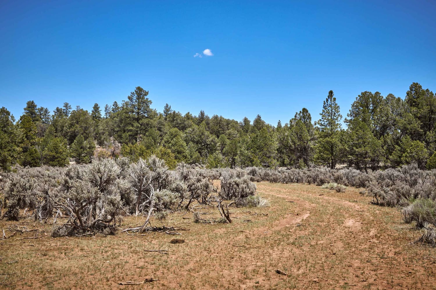
When ran from South to North, you can easily see how Cowpie Cowboy Trail gets its name. The trail starts as a single track of rutted mud and cowpies with some off-camber whoops in the…
Learn more about Cowpie Cowboy Trail
Total Miles
4.7
Tech Rating
3 Easy
Best Time
Spring, Summer, Fall
Learn more about Coxcombs
Coxcombs

Coxcombs

Coxcombs is a single-lane dirt and rock trail that sports some mud ruts and hills along it. This trail cuts through the part of the Kaibab National Forest that is made up of Ponderosa Pine…
Learn more about Coxcombs
Total Miles
1.6
Tech Rating
2 Easy
Best Time
Spring, Summer, Fall
Learn more about Coyote Butte South
Coyote Butte South

Coyote Butte South

Somewhat difficult route due to hidden rocks and steps in deep sand. Skirting the Vermilion Cliffs National Monument and wilderness area. There are some areas that can be extremely deep sand especially the further along…
Learn more about Coyote Butte South
Total Miles
5.7
Tech Rating
5 Moderate
Best Time
Spring, Summer, Fall
Learn more about Coyote Mine Road
Coyote Mine Road

Coyote Mine Road

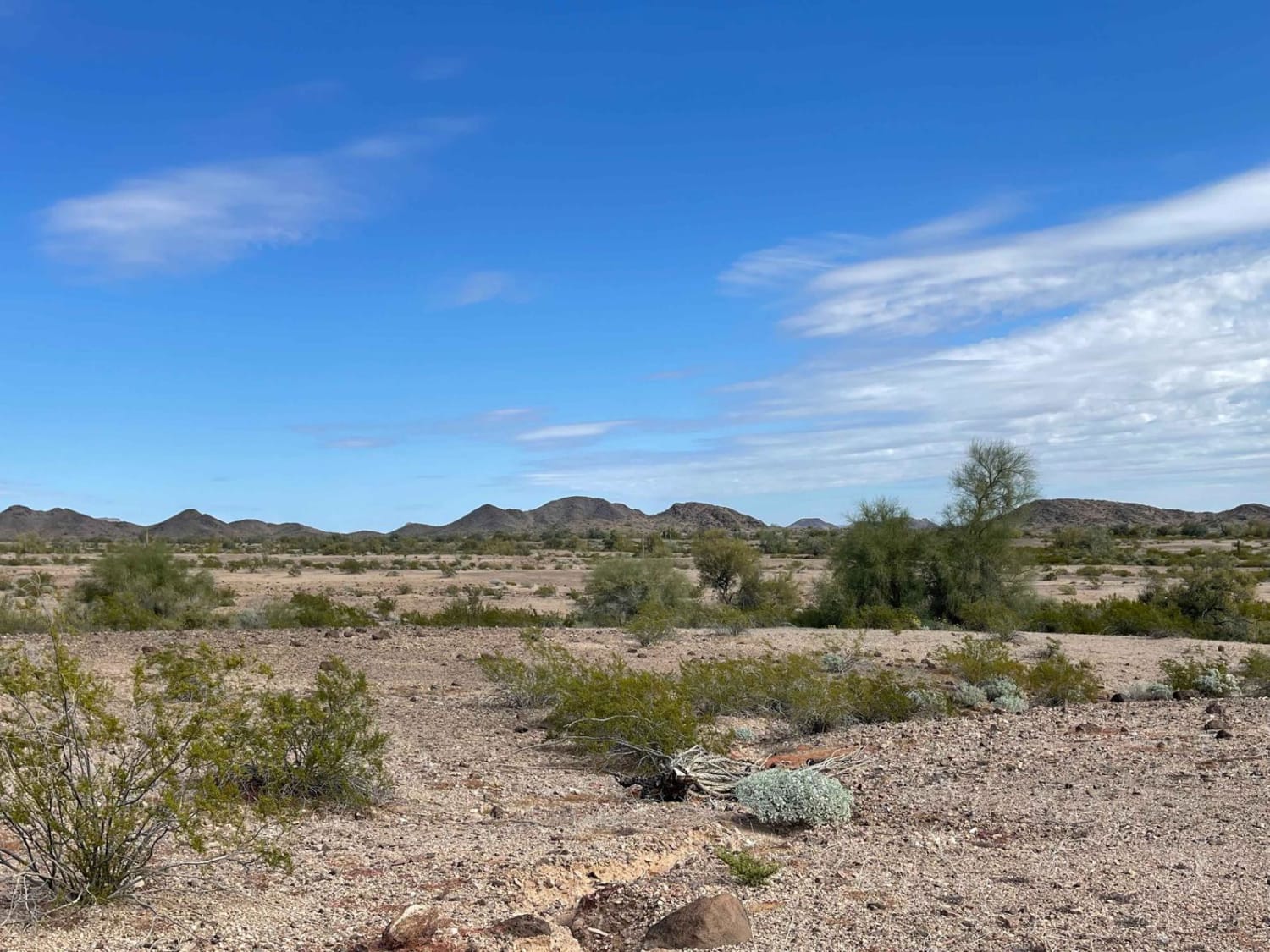
The maps show that the Coyote Mine is also by this road. However, no evidence of the actual mine could be found upon exploration. But with a fun side spur, one can explore the Golden…
Learn more about Coyote Mine Road
Total Miles
4.4
Tech Rating
4 Moderate
Best Time
Spring, Winter
Learn more about Coyote Ranch Road
Coyote Ranch Road

Coyote Ranch Road

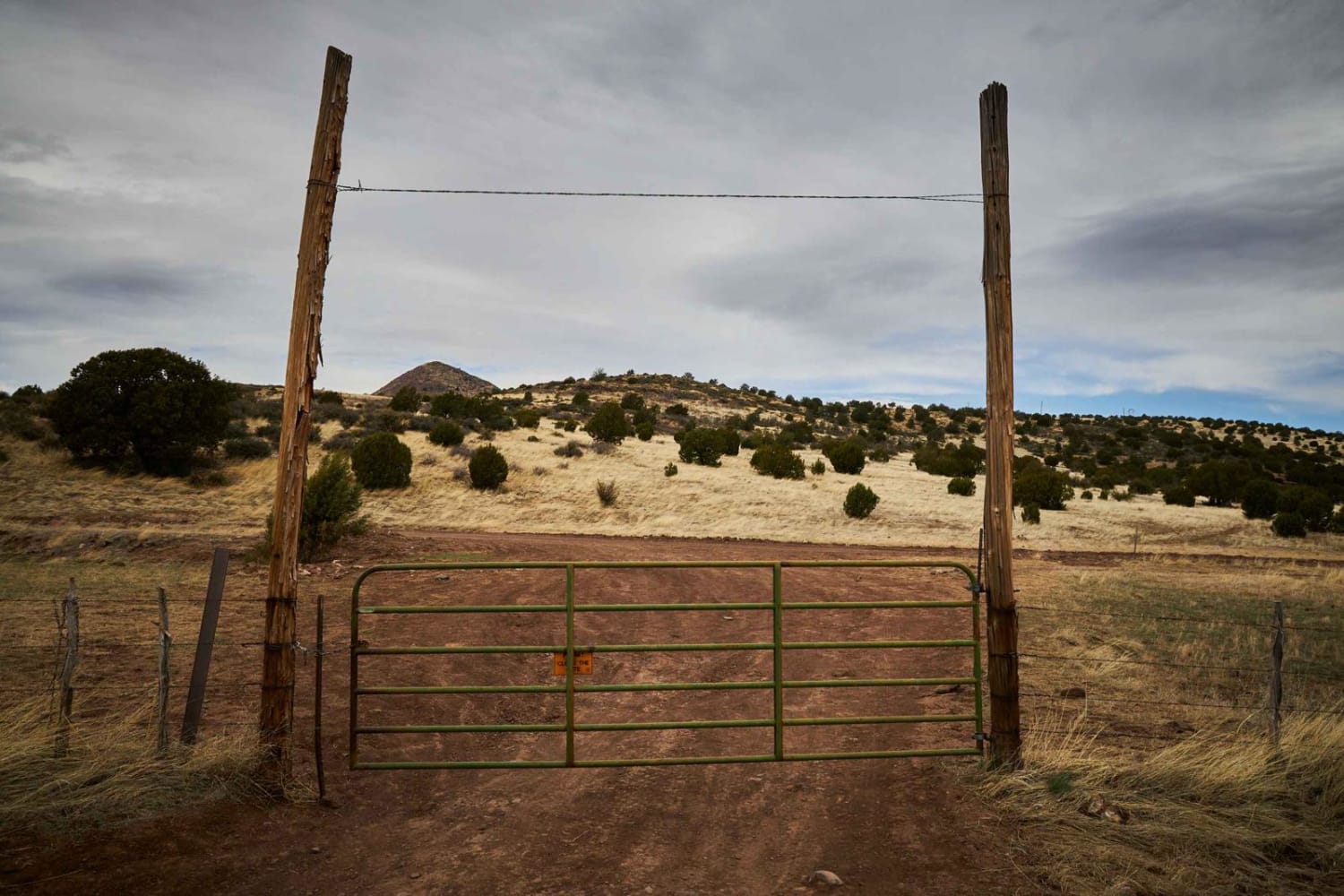
This rocky single-lane dirt road bobs and weaves through the pastures outside of Prescott. An easy drive, this road is peppered with erosion and small G-outs due to the water paths that shape this area.…
Learn more about Coyote Ranch Road
Total Miles
3.4
Tech Rating
1 Easy
Best Time
Spring, Fall, Winter
Learn more about Coyote Wash East
Coyote Wash East

Coyote Wash East

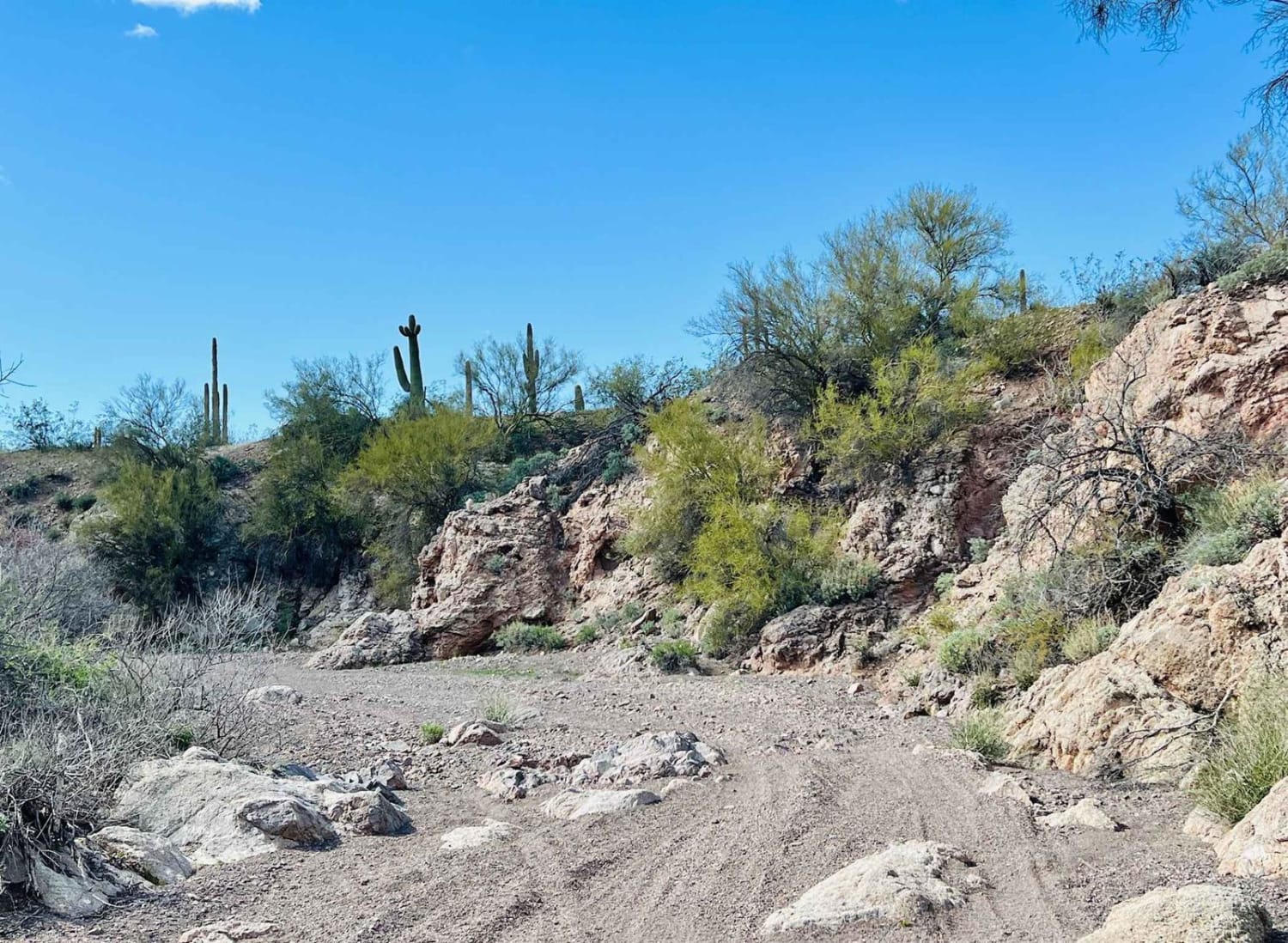
Caution: the Coyote Wash has several sections where fencing has been put up across the entire wash. These could be very hard to see at night or when approaching at fast speeds. This area is…
Learn more about Coyote Wash East
Total Miles
4.3
Tech Rating
3 Easy
Best Time
Winter, Fall, Spring

The onX Offroad Difference

onX Offroad combines trail photos, descriptions, difficulty ratings, width restrictions, seasonality, and more in a user-friendly interface. Available on all devices, with offline access and full compatibility with CarPlay and Android Auto. Discover what you’re missing today!