Off-Road Trails in Arizona

Discover off-road trails in Arizona

Learn more about Elk N Deer
Elk N Deer

Elk N Deer

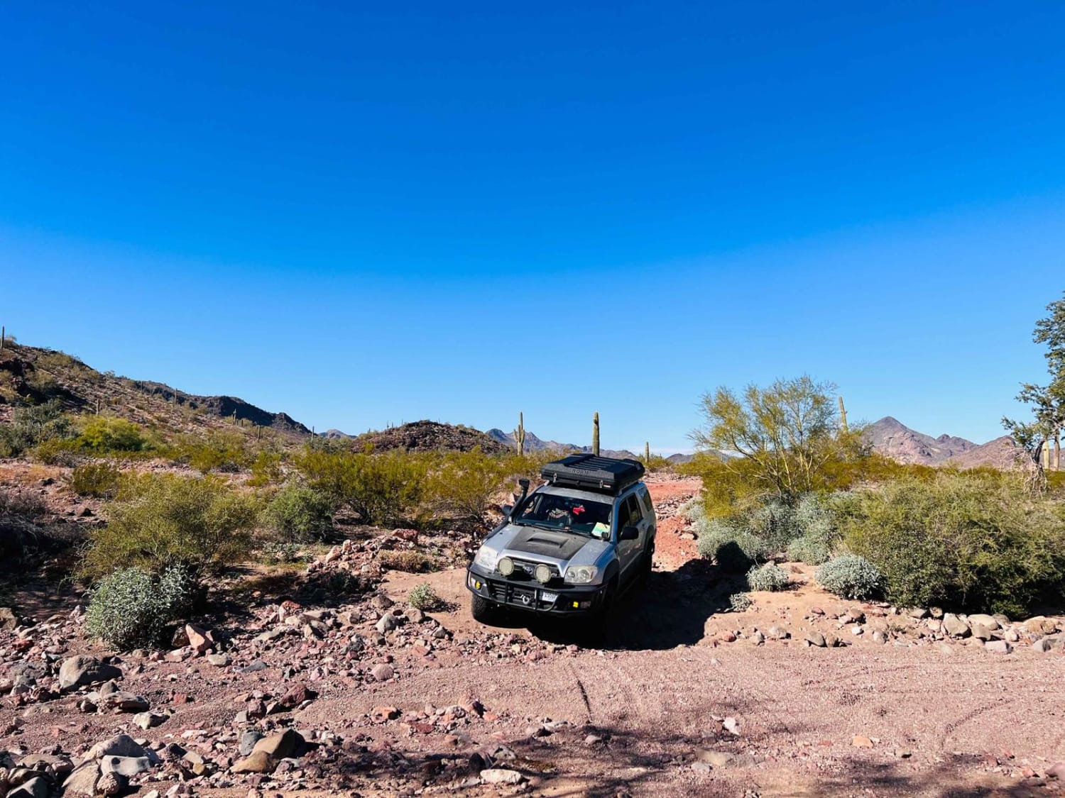
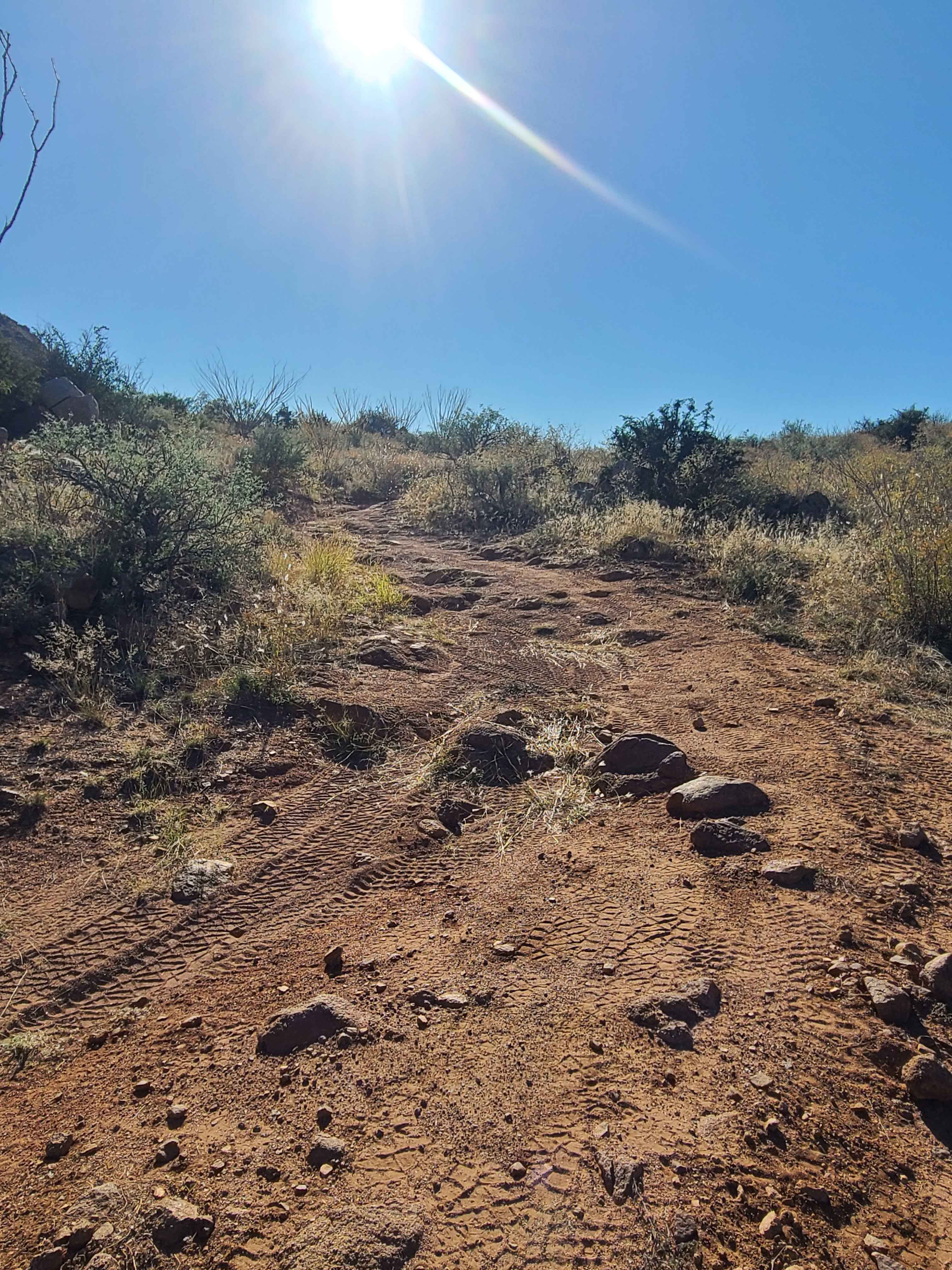
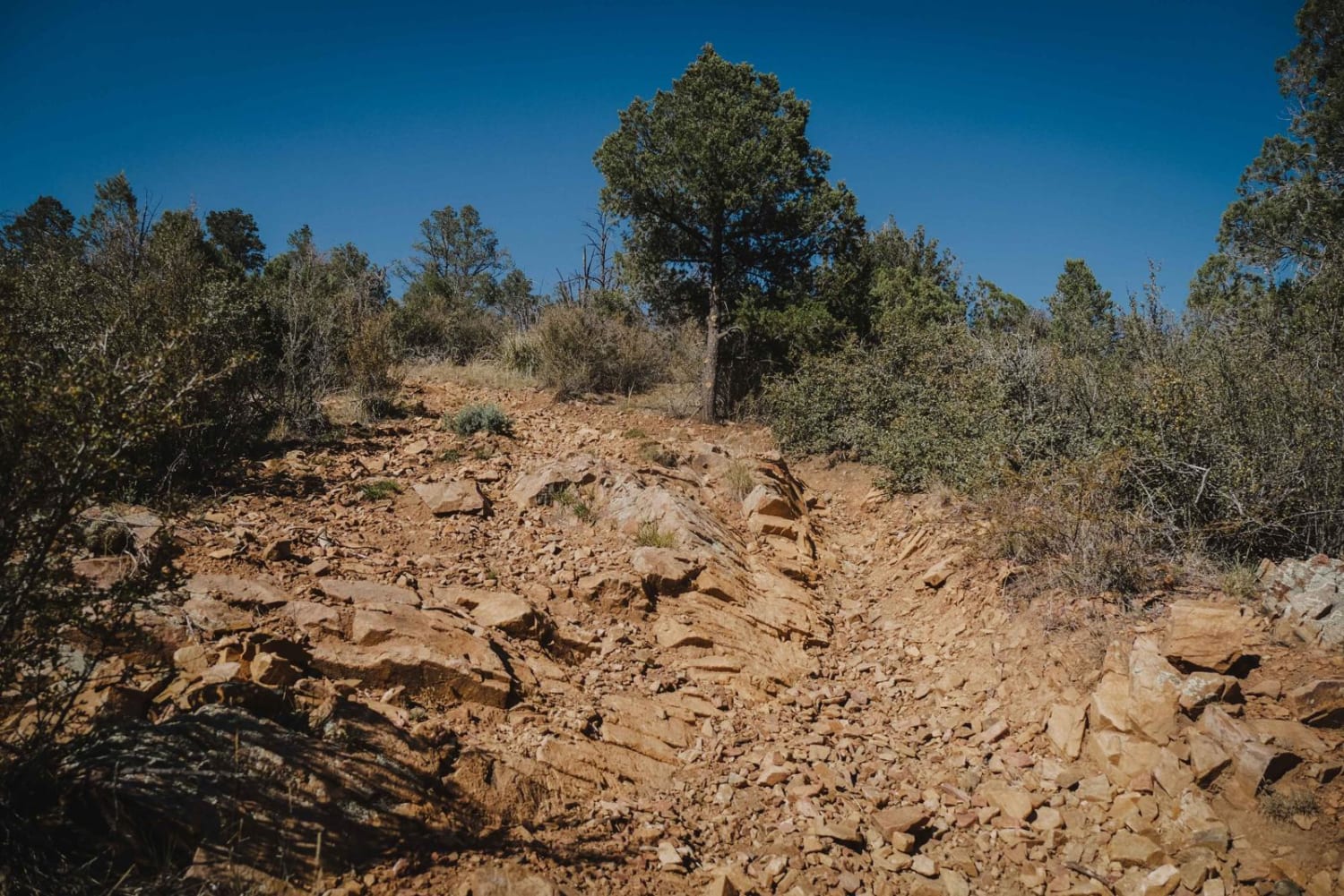
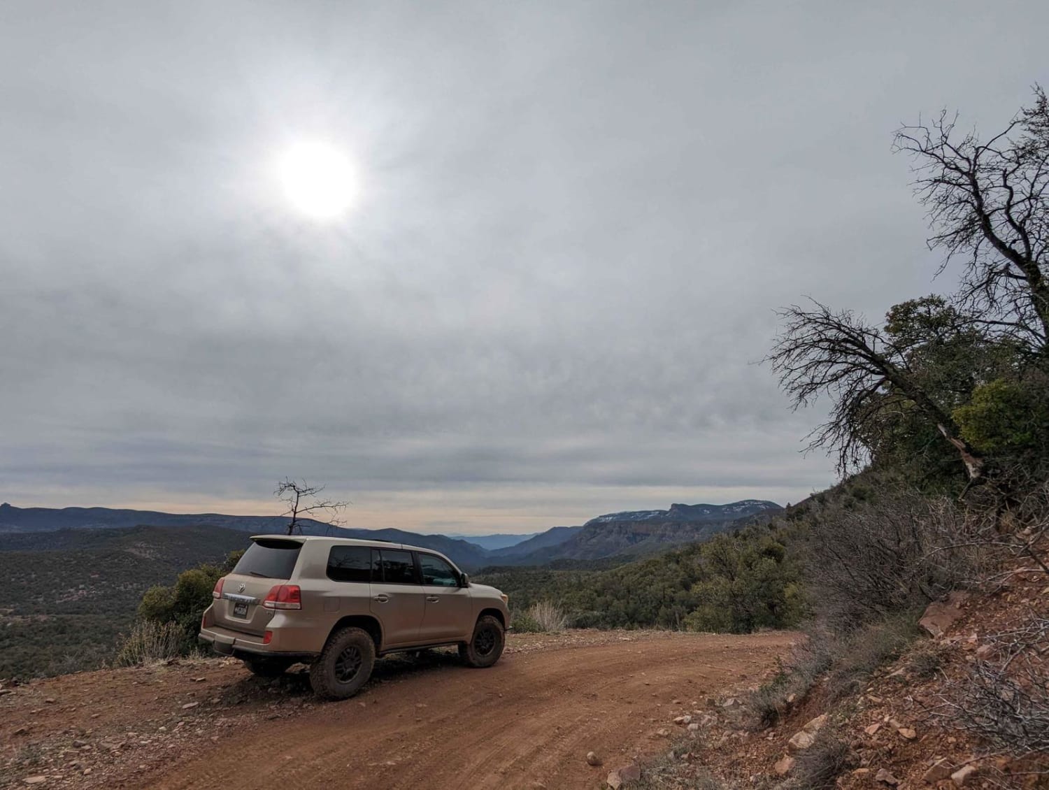
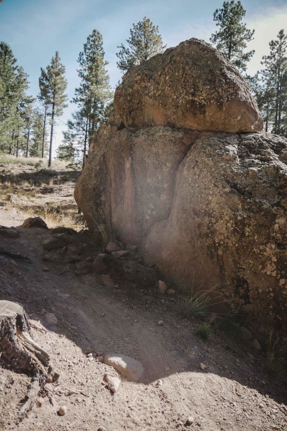
The Elk N Deer trail is a one-lane rocky trail. This trail features erosion, sneaky rocks, water damage, mud ruts, and some larger rocks in the trail. With all that in the path of driving,…
Learn more about Elk N Deer
Total Miles
2.6
Tech Rating
2 Easy
Best Time
Spring, Summer, Fall
Learn more about Elk Ridge to Matterhorn
Elk Ridge to Matterhorn

Elk Ridge to Matterhorn

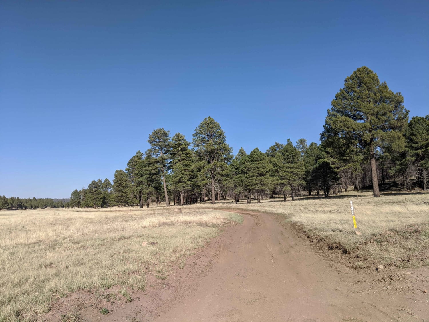
The route begins as an easy well-trafficked gravel road, dotted with several gates, then starts down a smaller forest road that follows the power line going in and out of the tree line. The route…
Learn more about Elk Ridge to Matterhorn
Total Miles
23.4
Tech Rating
4 Moderate
Best Time
Spring, Summer, Fall
Learn more about Elk Spring
Elk Spring

Elk Spring

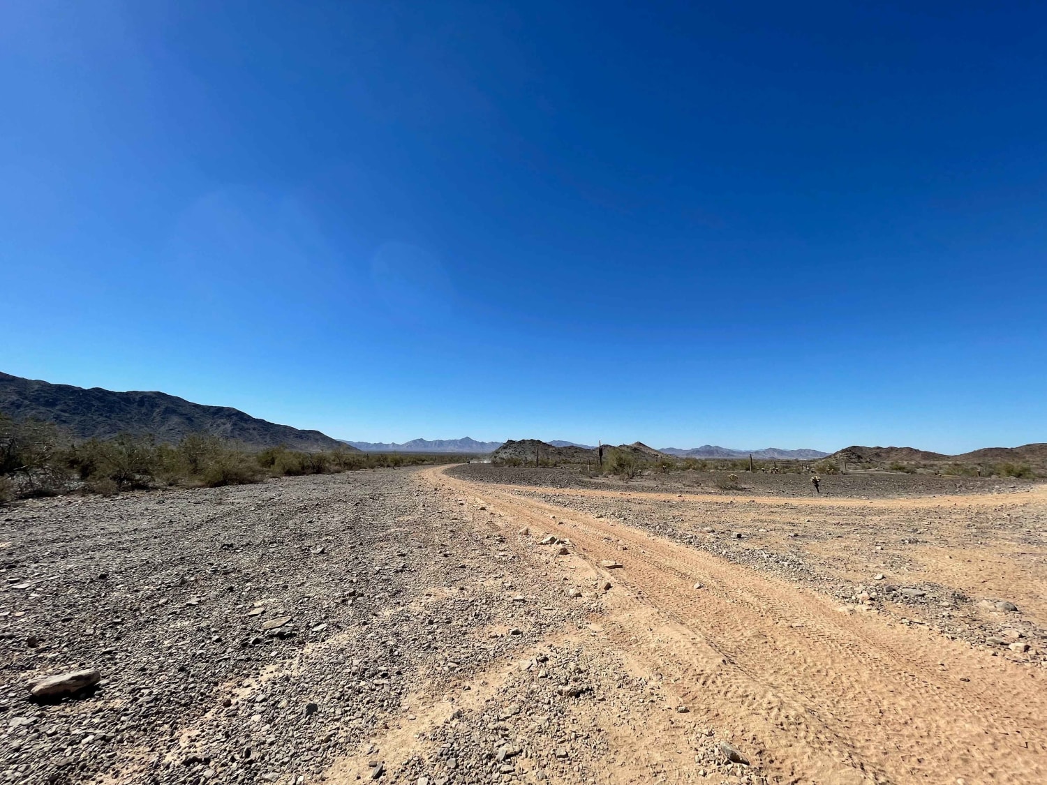
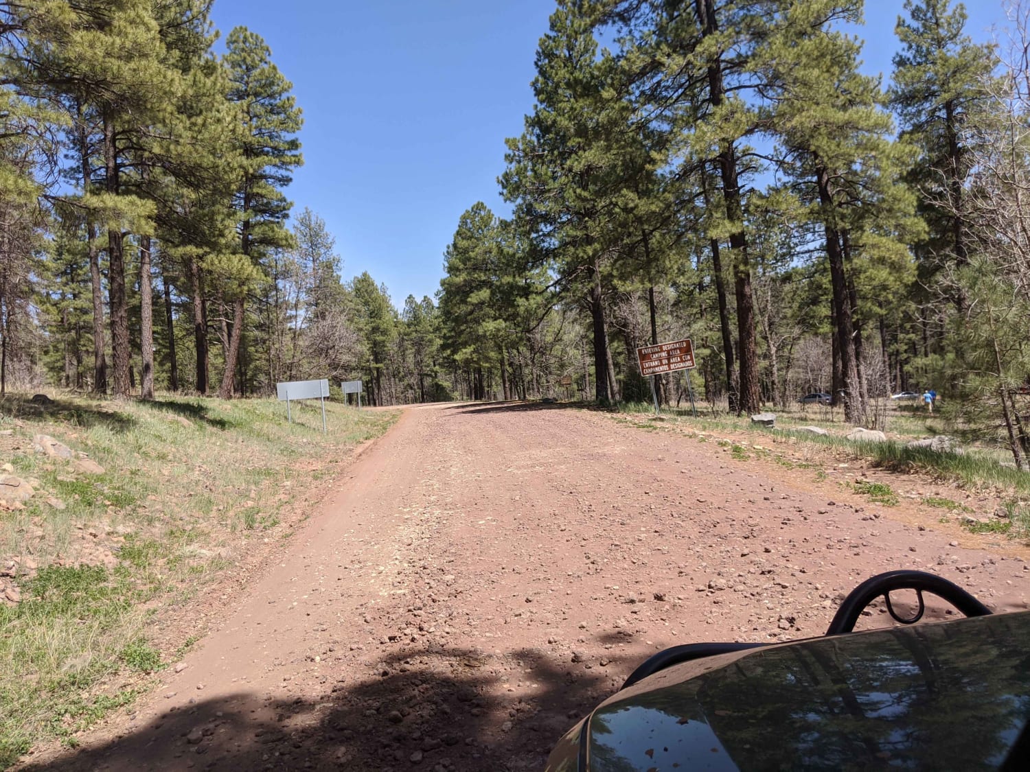
Elk Spring was one of my favorite trails to map, in one of my favorite sections of this forest. It's a one-lane dirt trail, with no obstacles, as well as no cell service. This trail…
Learn more about Elk Spring
Total Miles
2.6
Tech Rating
2 Easy
Best Time
Spring, Summer, Fall
Learn more about Eloy Canal Trail
Eloy Canal Trail

Eloy Canal Trail

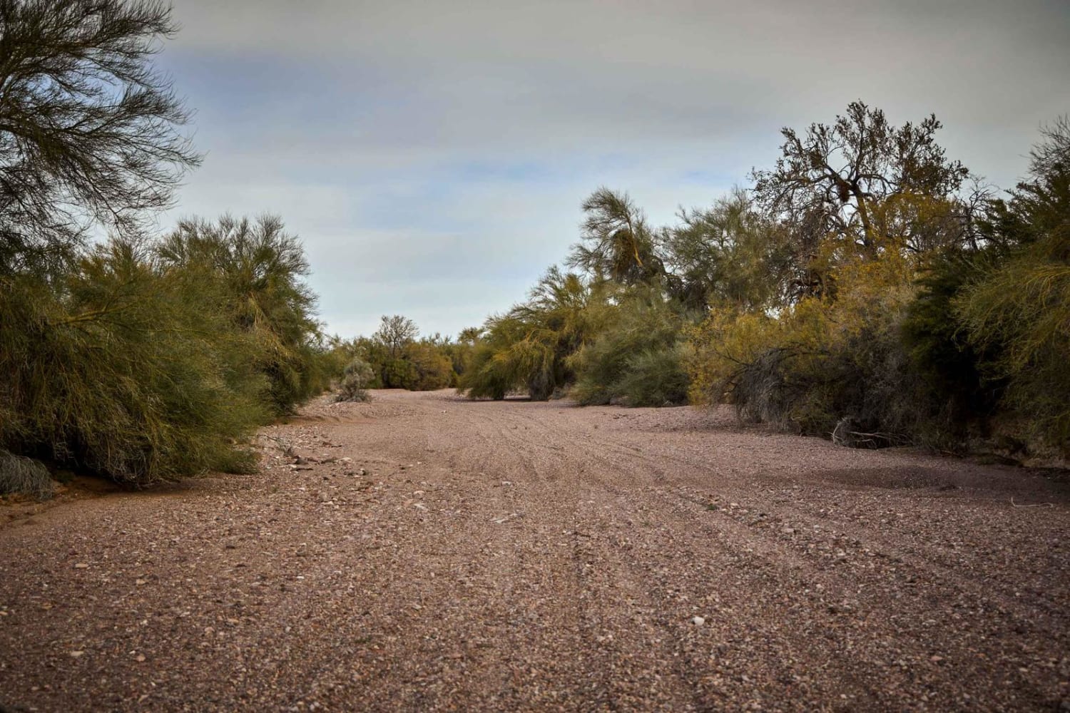
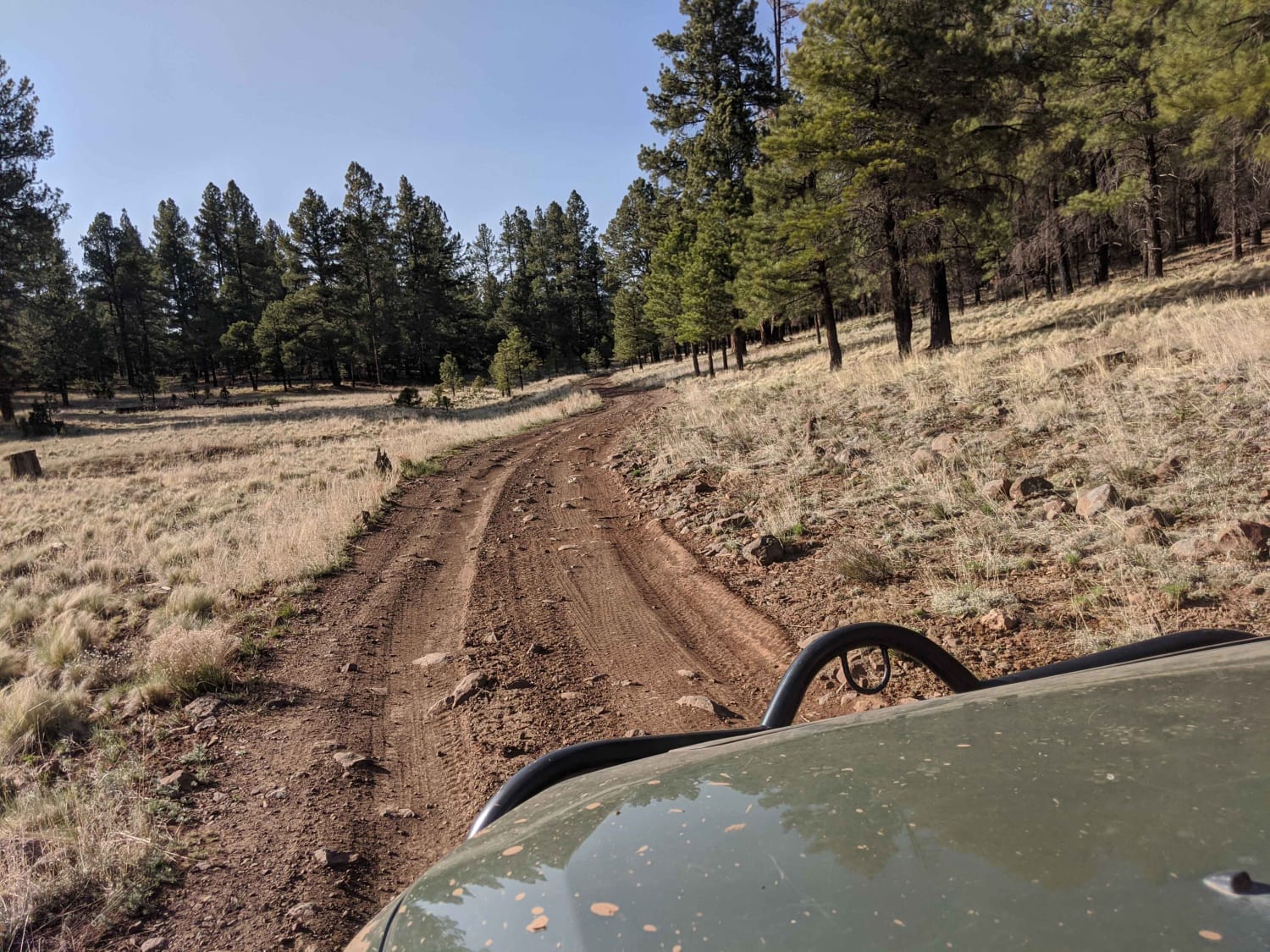
The Eloy Canal Trail travels along the edge of the Arizona state water system on dirt roads parallel to the water. There are trails on either side of the water, with many bridges across. Additionally,…
Learn more about Eloy Canal Trail
Total Miles
12.0
Tech Rating
2 Easy
Best Time
Spring, Fall, Winter
Learn more about Elvis
Elvis

Elvis

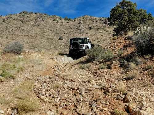
Elvis is a rough wash with many difficult obstacles. Most obstacles have bypasses, but even those require a skilled and built Jeep. 33s and lockers are recommended, but not necessary if the more extreme obstacles…
Learn more about Elvis
Total Miles
6.7
Tech Rating
8 Difficult
Best Time
Spring, Fall, Winter
Learn more about Emerald Isle Mine
Emerald Isle Mine

Emerald Isle Mine

This route is an out-and-back adventure up to the Emerald Isle Mine. At the time of mapping, the trail up to the mine was open (no barricades or closed gates), but that could potentially change…
Learn more about Emerald Isle Mine
Total Miles
1.7
Tech Rating
3 Easy
Best Time
Spring, Summer, Fall, Winter
Learn more about Engelstead Tank Cutover
Engelstead Tank Cutover

Engelstead Tank Cutover

This easy two-track is an excellent choice for cutting across the rolling hills. There are tall brown grasses and the occasional small washout, but nothing challenging--just beautiful grassy meadows and lush green forests of juniper…
Learn more about Engelstead Tank Cutover
Total Miles
4.1
Tech Rating
2 Easy
Best Time
Spring, Fall
Learn more about Epic, Interrupted
Epic, Interrupted

Epic, Interrupted

Epic, Interrupted is a soft lament of what could have been an amazing, long, and beautiful trail. The eastern end of the trail is an off-camber erosion fest of Arizona's backcountry. Primarily rock and dirt,…
Learn more about Epic, Interrupted
Total Miles
3.0
Tech Rating
2 Easy
Best Time
Summer, Fall, Winter
Learn more about Escudilla Mountain
Escudilla Mountain

Escudilla Mountain

This route takes you from US 180/191 up to Terry Flat on the Escudilla Mountains. It passes by Hulsey Lake, a quiet fishing spot, is also along the route. It is also the route to…
Learn more about Escudilla Mountain
Total Miles
9.6
Tech Rating
2 Easy
Best Time
Spring, Summer, Fall
Learn more about Exit Off Spruce Mountain Road
Exit Off Spruce Mountain Road

Exit Off Spruce Mountain Road

This dirt road is a route that branches off Spruce Mountain Lookout guided trail. The road starts off pretty mellow then starts to get steep and there are several sharp turns with loose rock scattered…
Learn more about Exit Off Spruce Mountain Road
Total Miles
2.5
Tech Rating
2 Easy
Best Time
Summer, Spring, Fall
Learn more about Experimental and Rocky
Experimental and Rocky

Experimental and Rocky

This trail picks up off Highway 3 just outside Happy Jack. There is a little bit of cell service at the beginning of this trail, and there are several easy-to-get dispersed campsites with easy access…
Learn more about Experimental and Rocky
Total Miles
1.6
Tech Rating
3 Easy
Best Time
Spring, Summer, Fall
Learn more about F-14 Tomcat Crash Site Spur
F-14 Tomcat Crash Site Spur

F-14 Tomcat Crash Site Spur

This is a scenic, sandy, unimproved southwest high desert trail that includes a visit to the US Marine Corps F-14 Tomcat crash site. The Tomcat is the same plane that was filmed in the original…
Learn more about F-14 Tomcat Crash Site Spur
Total Miles
2.5
Tech Rating
1 Easy
Best Time
Spring, Summer, Fall, Winter
Learn more about F-4 Phantom Crash Site Spur
F-4 Phantom Crash Site Spur

F-4 Phantom Crash Site Spur

This is a scenic, sandy, unimproved southwest high desert trail that includes a visit to the US Marine Corps F-4 Phantom II crash site. The Phantom was designed as an all-weather dual-purpose supersonic air superiority…
Learn more about F-4 Phantom Crash Site Spur
Total Miles
6.6
Tech Rating
1 Easy
Best Time
Spring, Summer, Fall, Winter
Learn more about Fair Oaks to Spider Ranch
Fair Oaks to Spider Ranch

Fair Oaks to Spider Ranch

Fair Oaks Road, or Fair Oaks to Spider Ranch is a wide forest road with no obstacles on it. You'll find sections of this road are washboarded, as it gets a ton of traffic. It…
Learn more about Fair Oaks to Spider Ranch
Total Miles
8.7
Tech Rating
1 Easy
Best Time
Spring, Summer, Fall
Learn more about FairOaks West
FairOaks West

FairOaks West

Fair Oaks West is an offshoot of the Main Fair Oaks trail. Wide, with no obstacles, this trail accesses more trails, campsites, and hunting areas in this section of the Prescott National Forest. Sections of…
Learn more about FairOaks West
Total Miles
3.5
Tech Rating
1 Easy
Best Time
Spring, Summer, Fall
Learn more about Fancher Mine Loop
Fancher Mine Loop

Fancher Mine Loop

This trail is a nice loop that passes by the active Fancher mine. Be aware it's private property, and there are armed guards. The section leading to the mine is wide, easy, and graded. Once…
Learn more about Fancher Mine Loop
Total Miles
2.3
Tech Rating
4 Moderate
Best Time
Winter, Fall, Spring
Learn more about FDR 1804/1805
FDR 1804/1805

FDR 1804/1805

This is an alternative direct route from Rolls OHV parking area into the Rolls OHV area. Both 1804 and 1805 are two parts of the same track, which deadends into FDR 1863. This intersection is…
Learn more about FDR 1804/1805
Total Miles
2.1
Tech Rating
4 Moderate
Best Time
Fall, Winter
Learn more about FDR 1811
FDR 1811

FDR 1811

FDR 1811 is one of many sandy wash roads available in the Rolls OHV off-road area, comprised primarily of sand and flowing turns. The route is an alternative connection between FDR 1813 and FDR 13.…
Learn more about FDR 1811
Total Miles
2.2
Tech Rating
2 Easy
Best Time
Spring, Fall, Summer, Winter
Learn more about FDR 1863 South Loop
FDR 1863 South Loop

FDR 1863 South Loop

This route begins and ends off of FDR 13 looping South through a large chunk of the Rolls OHV area accommodating access to several other trails. Use this as a connector, or enjoy it as…
Learn more about FDR 1863 South Loop
Total Miles
9.2
Tech Rating
2 Easy
Best Time
Spring, Winter, Fall, Summer
Learn more about FDR 64/Marapai Road
FDR 64/Marapai Road

FDR 64/Marapai Road

Marapai Road is a moderately difficult route providing access to dispersed camping and OHV opportunities in the Prescott National Forest. Seven designated dispersed sites exist for the first half mile after exiting South Ponderosa Park…
Learn more about FDR 64/Marapai Road
Total Miles
2.3
Tech Rating
5 Moderate
Best Time
Spring, Summer, Fall

The onX Offroad Difference

onX Offroad combines trail photos, descriptions, difficulty ratings, width restrictions, seasonality, and more in a user-friendly interface. Available on all devices, with offline access and full compatibility with CarPlay and Android Auto. Discover what you’re missing today!