Off-Road Trails in Arizona
Discover off-road trails in Arizona
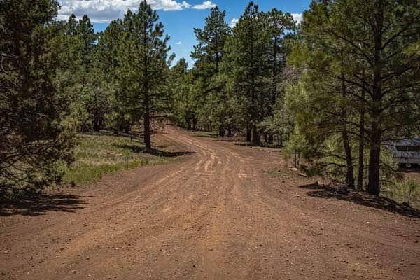
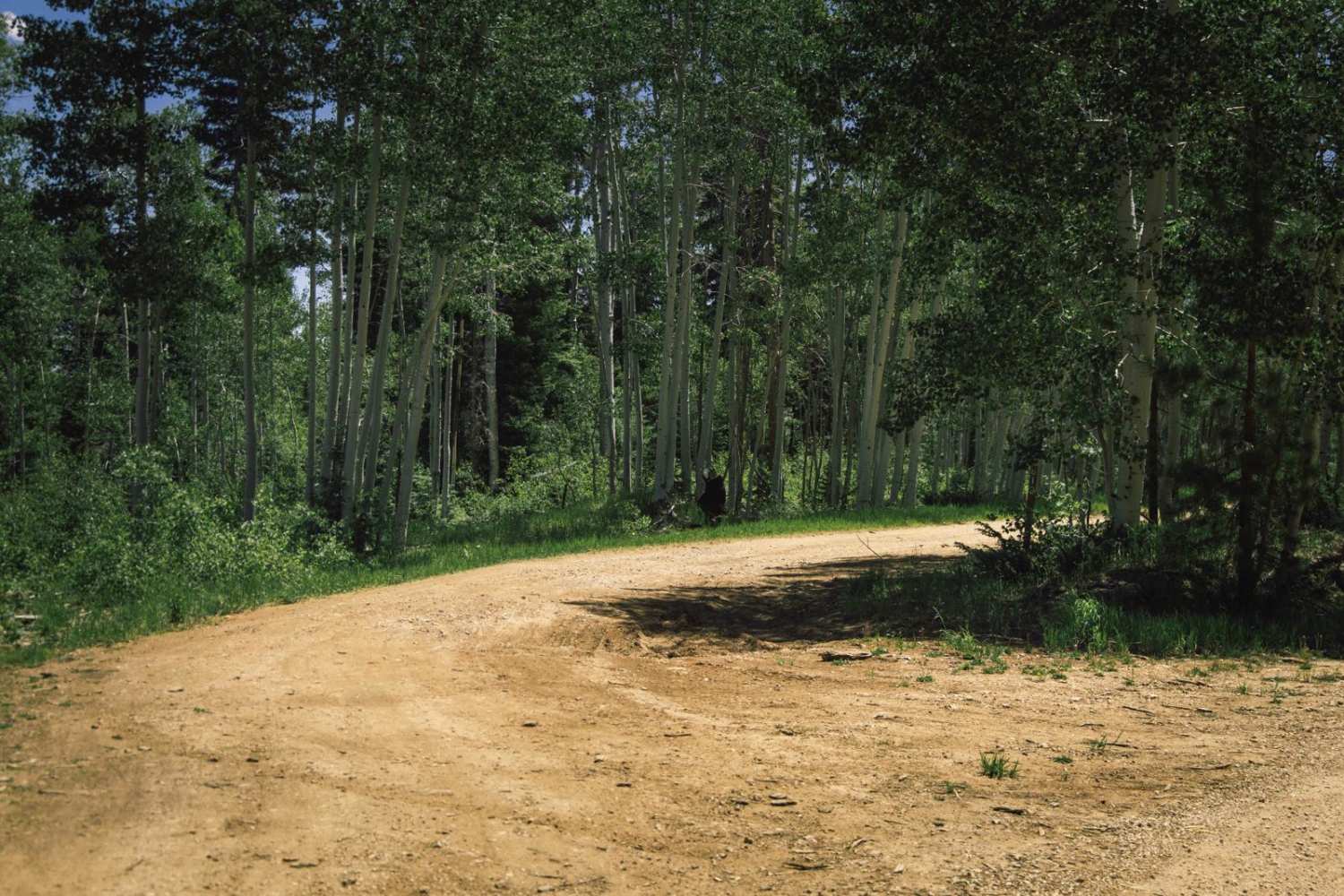
Learn more about FR283 - Marshall Mountain
FR283 - Marshall Mountain
Total Miles
7.2
Tech Rating
Easy
Best Time
Spring, Summer, Fall, Winter
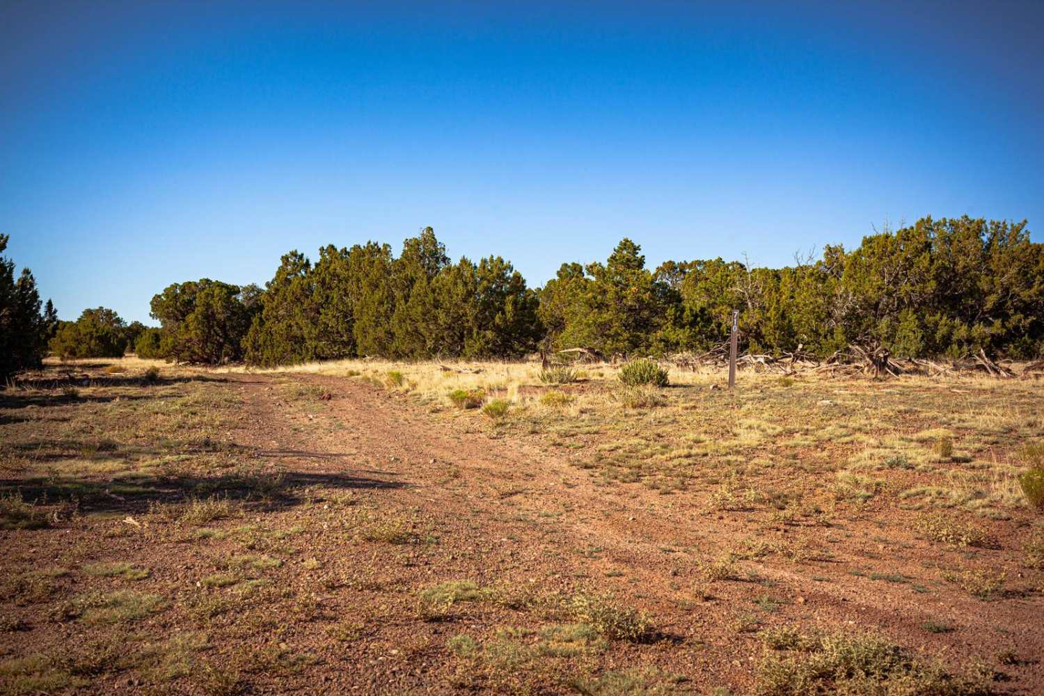
Learn more about French Lily Mine Dump
French Lily Mine Dump
Total Miles
0.8
Tech Rating
Easy
Best Time
Spring, Summer, Fall
Learn more about French Lily Mine Mill Site

French Lily Mine Mill Site
Total Miles
0.6
Tech Rating
Easy
Best Time
Spring, Summer, Fall, Winter
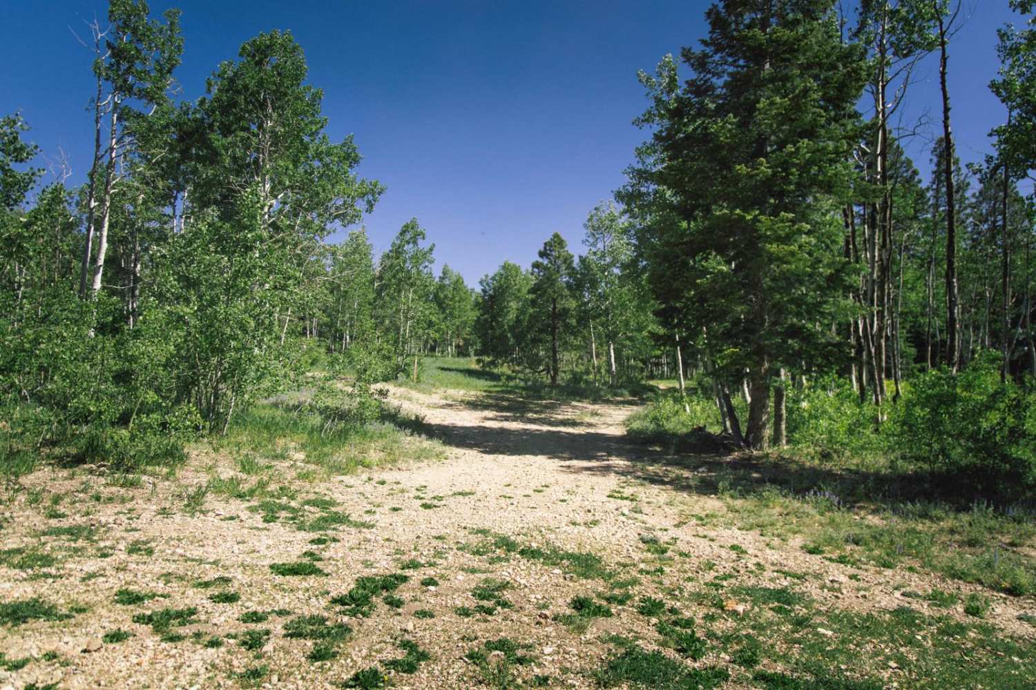
Learn more about Frenchy Springs Road

Frenchy Springs Road
Total Miles
4.6
Tech Rating
Easy
Best Time
Spring, Summer, Fall
Learn more about Friche's Loop

Friche's Loop
Total Miles
2.8
Tech Rating
Easy
Best Time
Spring, Summer, Fall
Learn more about Frog Tank Loop
Frog Tank Loop
Total Miles
3.2
Tech Rating
Easy
Best Time
Spring, Summer, Fall
Learn more about Fry Lake 9018H
Fry Lake 9018H
Total Miles
4.4
Tech Rating
Easy
Best Time
Spring, Summer, Fall
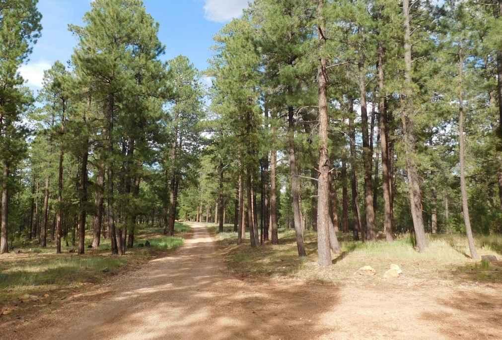
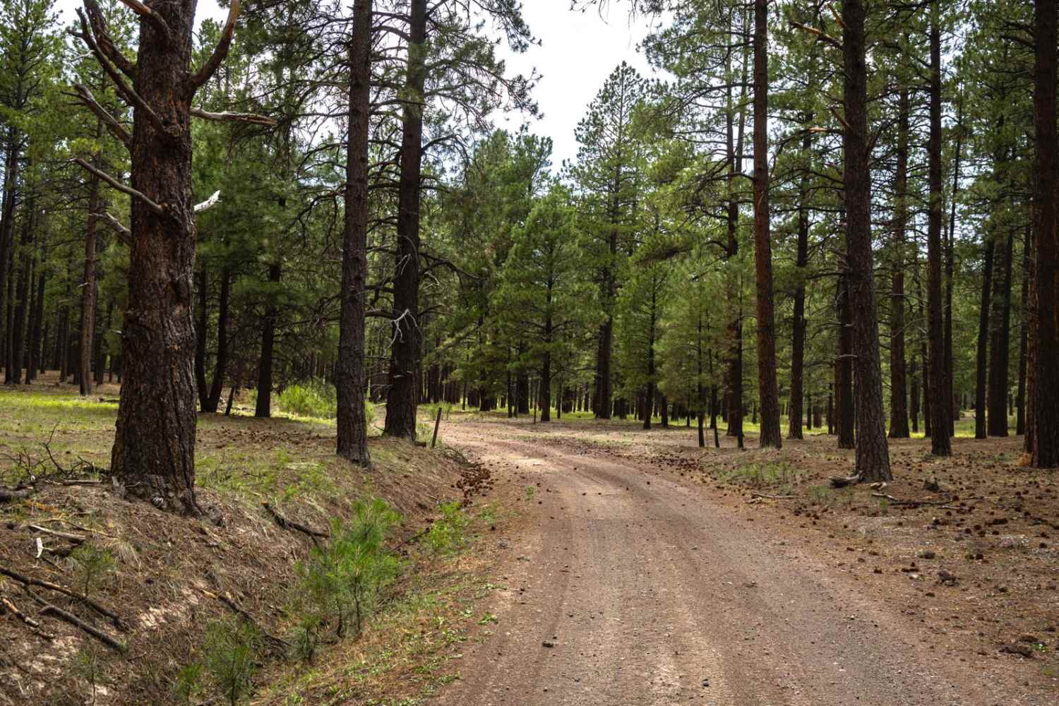
Learn more about FS 107 Willow Wash

FS 107 Willow Wash
Total Miles
4.6
Tech Rating
Easy
Best Time
Spring, Summer, Fall
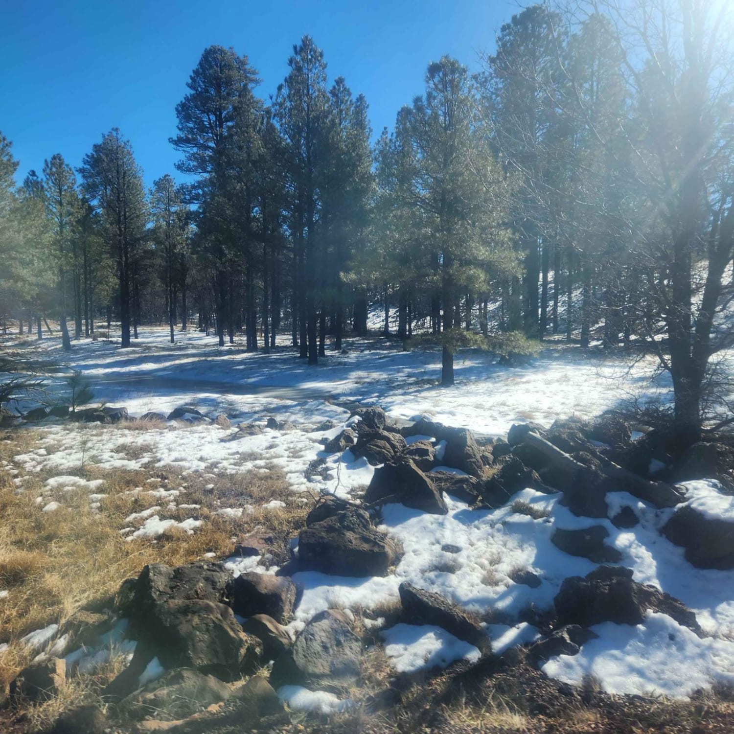
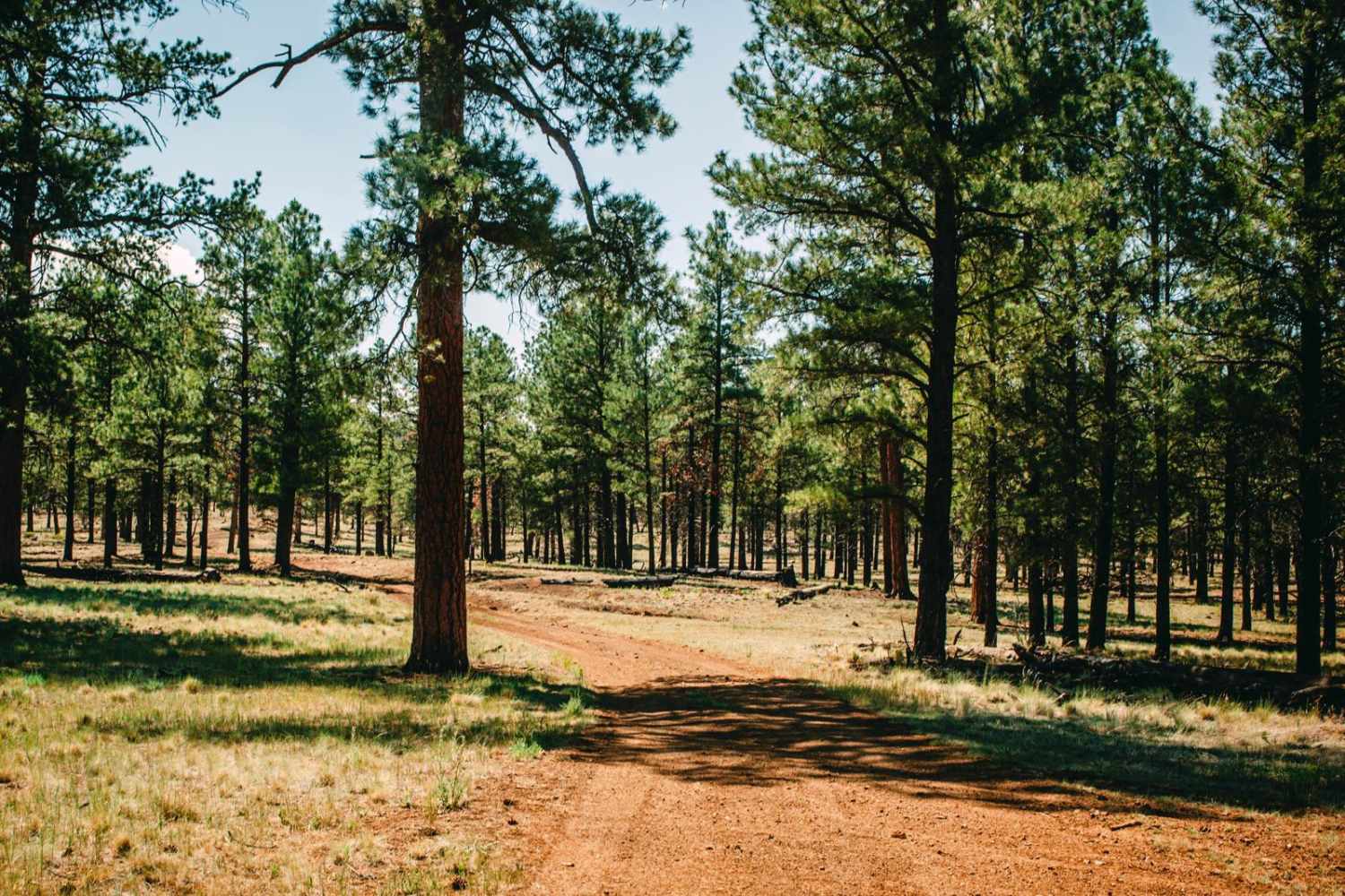
Learn more about FS 125 to Kinnickinnick Lake Road

FS 125 to Kinnickinnick Lake Road
Total Miles
6.5
Tech Rating
Easy
Best Time
Spring, Summer, Fall
Learn more about FS 126 to FS 125

FS 126 to FS 125
Total Miles
16.1
Tech Rating
Easy
Best Time
Spring, Summer, Fall
The onX Offroad Difference
onX Offroad combines trail photos, descriptions, difficulty ratings, width restrictions, seasonality, and more in a user-friendly interface. Available on all devices, with offline access and full compatibility with CarPlay and Android Auto. Discover what you’re missing today!