Off-Road Trails in Arizona

Discover off-road trails in Arizona

Learn more about Gold Range Mine
Gold Range Mine

Gold Range Mine

Gold Range Mine is an out-and-back trail that leads up into the hills, passing a few open mine shafts and ending at an overlook/turnaround. The trail begins in a sandy wash off of Silver Creek…
Learn more about Gold Range Mine
Total Miles
1.2
Tech Rating
4 Moderate
Best Time
Spring, Summer, Fall, Winter
Learn more about Golden Gate Mine Trail
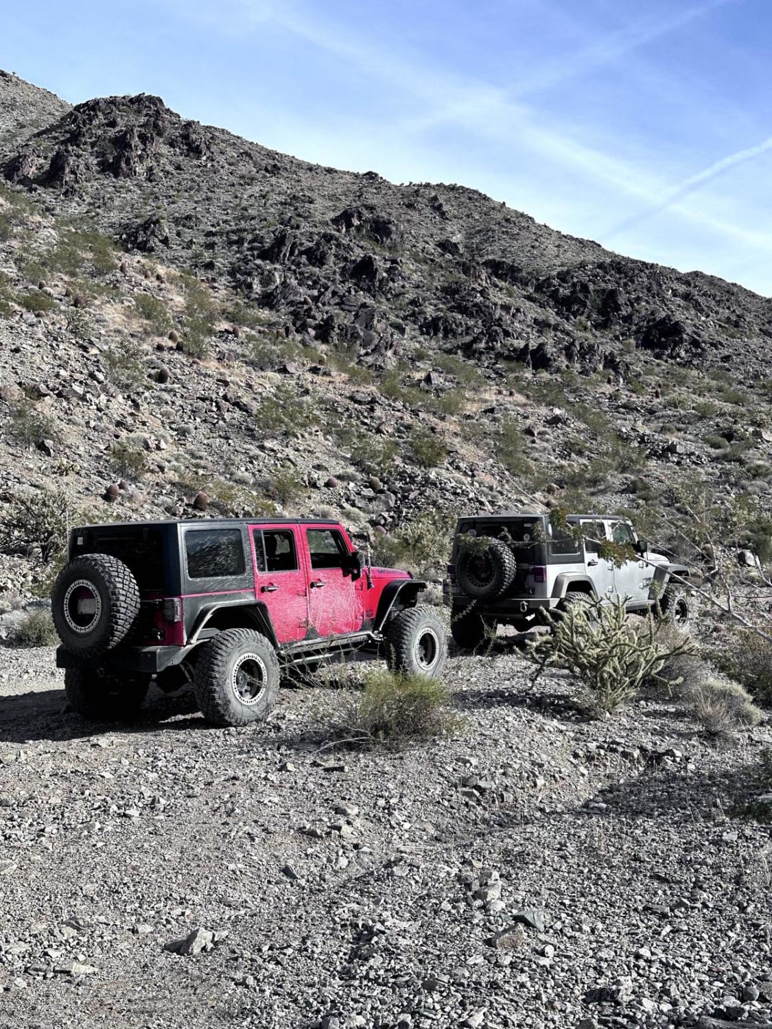
Golden Gate Mine Trail

Golden Gate Mine Trail

This 6.5-mile point-to-point trail goes from the Hualapai Wash in the Lake Mead National Recreation area, over the Grand Wash Cliffs, and into Meadview. Stop at the old Golden Gate Mine at 3.1 miles into…
Learn more about Golden Gate Mine Trail
Total Miles
6.5
Tech Rating
3 Easy
Best Time
Spring, Summer, Fall, Winter
Learn more about Golden Harp Mine
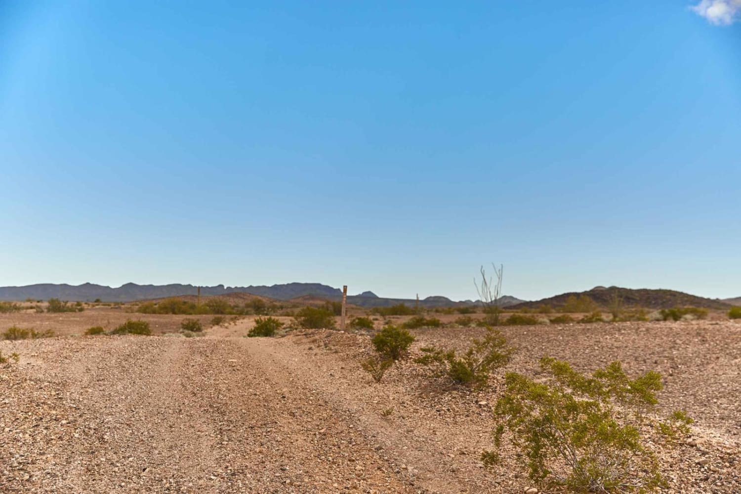
Golden Harp Mine

Golden Harp Mine

Golden Harp Mine Road is a rock two-track that winds and weaves its way through the Golden Harp Mining Claim. This road is rocky hard packed and crosses multiple washes that might prove treacherous during…
Learn more about Golden Harp Mine
Total Miles
2.4
Tech Rating
3 Easy
Best Time
Spring, Fall, Winter
Learn more about Golden Mile Trail
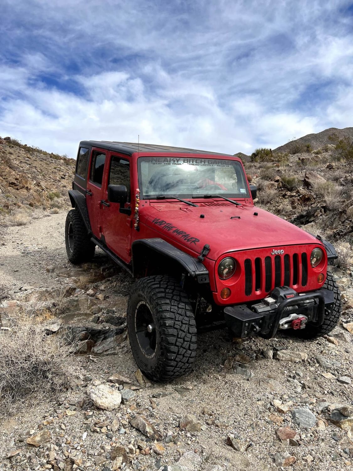
Golden Mile Trail

Golden Mile Trail

This 5.2-mile out-and-back trail takes you to an old abandoned gold mine. You will pass through the Hualapai Wash and come up to the first of three gates on this trail. Always close all gates…
Learn more about Golden Mile Trail
Total Miles
2.6
Tech Rating
3 Easy
Best Time
Spring, Summer, Fall, Winter
Learn more about Good Enough Ridge
Good Enough Ridge

Good Enough Ridge

This out-and-back ridge trail starts at an intersection with many trail options. There is a large grassy dispersed campsite at the beginning of the trail that can accommodate multiple vehicles and trailers. There are many…
Learn more about Good Enough Ridge
Total Miles
3.0
Tech Rating
3 Easy
Best Time
Spring, Summer, Fall
Learn more about Good Enough Spur
Good Enough Spur

Good Enough Spur

This is an out-and-back trail to the West Creek Wilderness boundary area. This trail ends at a campsite and a fence where the boundary is. There is a wire gate for foot traffic into the…
Learn more about Good Enough Spur
Total Miles
1.2
Tech Rating
2 Easy
Best Time
Spring, Summer, Fall
Learn more about Good Ole 127
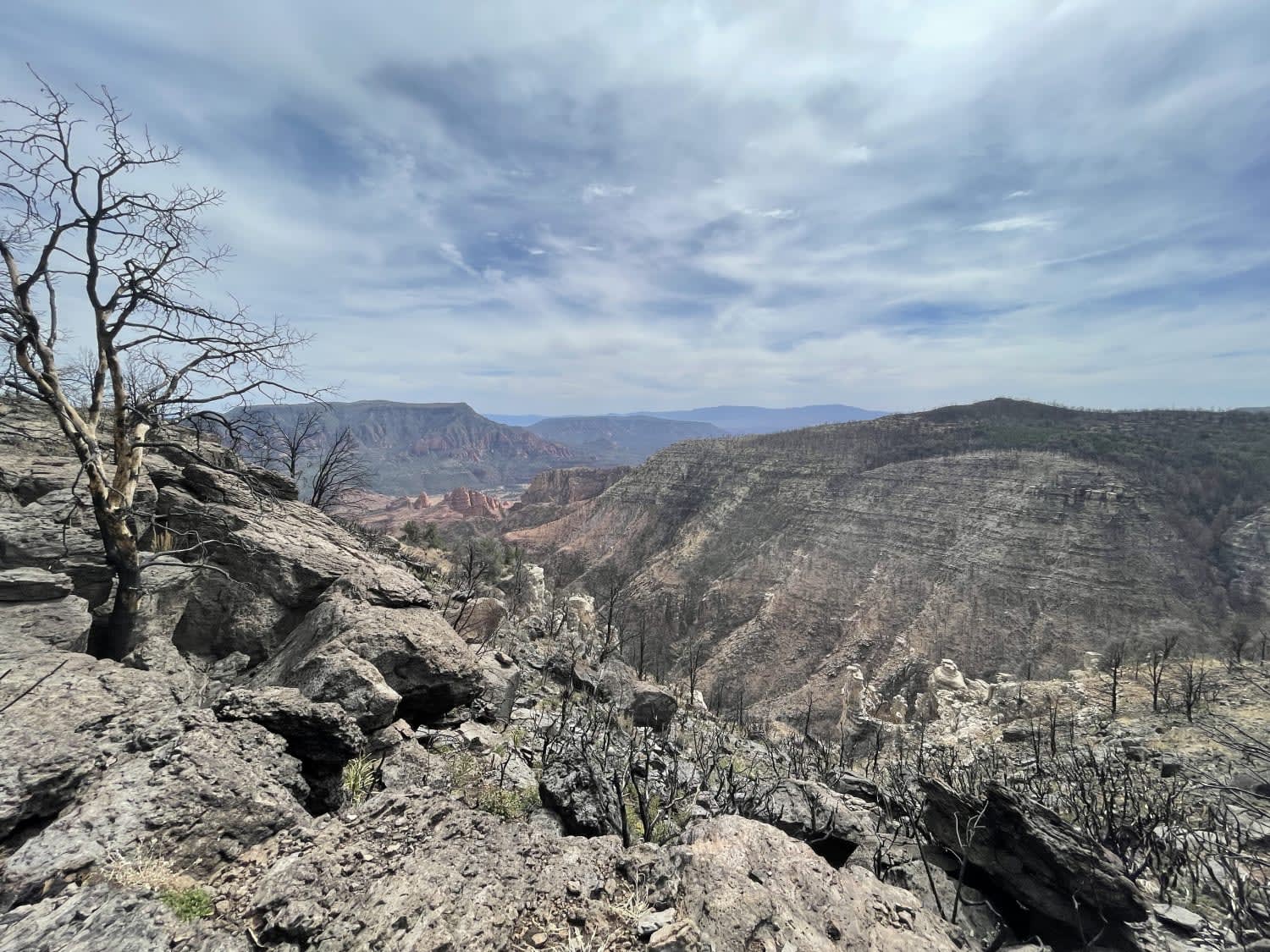
Good Ole 127

Good Ole 127

This seldomly traveled out and back trail is perfect for the adventurer who likes endless rows of boulders, really deep ruts, washouts, and doesn't want to have a spleen by the time they get to…
Learn more about Good Ole 127
Total Miles
6.1
Tech Rating
5 Moderate
Best Time
Spring, Summer, Fall
Learn more about Good Ole 1600
Good Ole 1600

Good Ole 1600

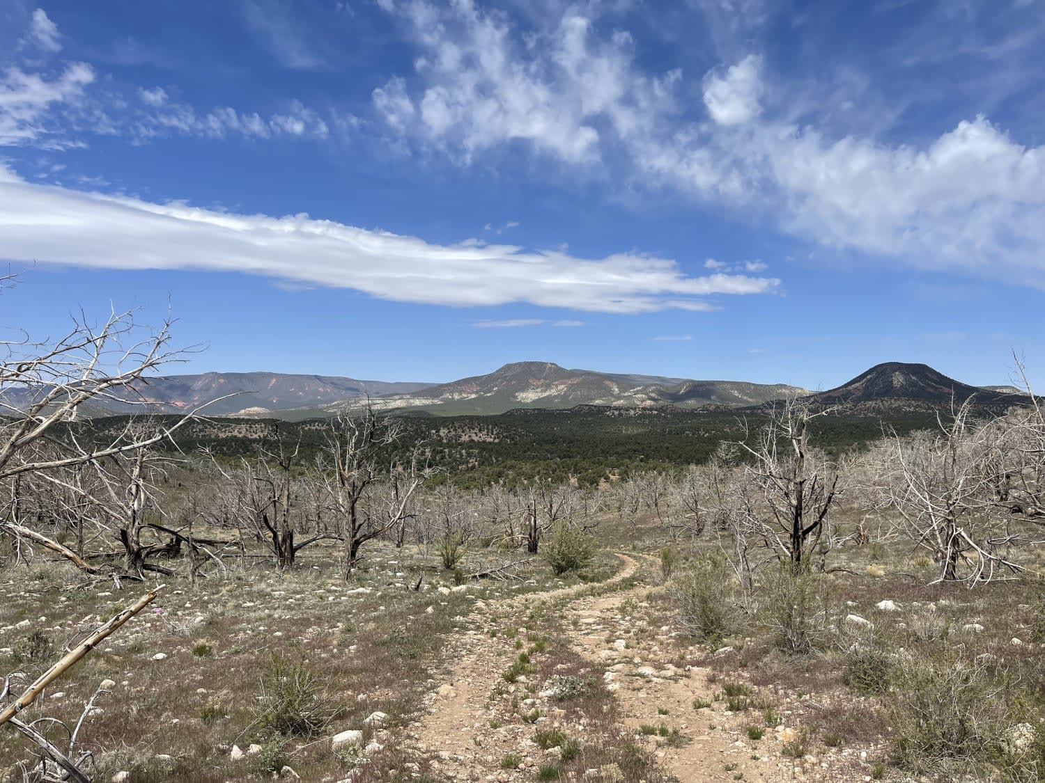
This fun trail dips and dives and climbs and falls across the range. The views from the hilltops are nothing short of spectacular, and there are some enjoyable, varied terrain sections. The trail can be…
Learn more about Good Ole 1600
Total Miles
6.0
Tech Rating
4 Moderate
Best Time
Fall, Spring
Learn more about Government Hill
Government Hill

Government Hill

The Government Hill is a one-lane rocky trail, speckled with erosion and rock gardens. There are no major obstacles in this trail, but there is also no cell service, so offline maps are recommended. The…
Learn more about Government Hill
Total Miles
3.5
Tech Rating
2 Easy
Best Time
Spring, Summer, Fall
Learn more about Grade Road Out
Grade Road Out

Grade Road Out

Grade Road is an access road used by a local rancher to access his cattle grazing grounds. Wide and graded, with erosion being its only obstacle, the trail encourages drivers to take it slow to…
Learn more about Grade Road Out
Total Miles
1.7
Tech Rating
1 Easy
Best Time
Spring, Summer, Fall
Learn more about Graffiti Tunnel Loop

Graffiti Tunnel Loop

Graffiti Tunnel Loop

Scenic loop under the Ponderosa pines of the Coconino National Forest near Munds Park, AZ. The route starts off on a mostly dirt trail with some erosion and ruts of varying depth. As you venture…
Learn more about Graffiti Tunnel Loop
Total Miles
10.5
Tech Rating
3 Easy
Best Time
Spring, Summer, Fall
Learn more about Grand Gulch Mine and Staircase
Grand Gulch Mine and Staircase

Grand Gulch Mine and Staircase

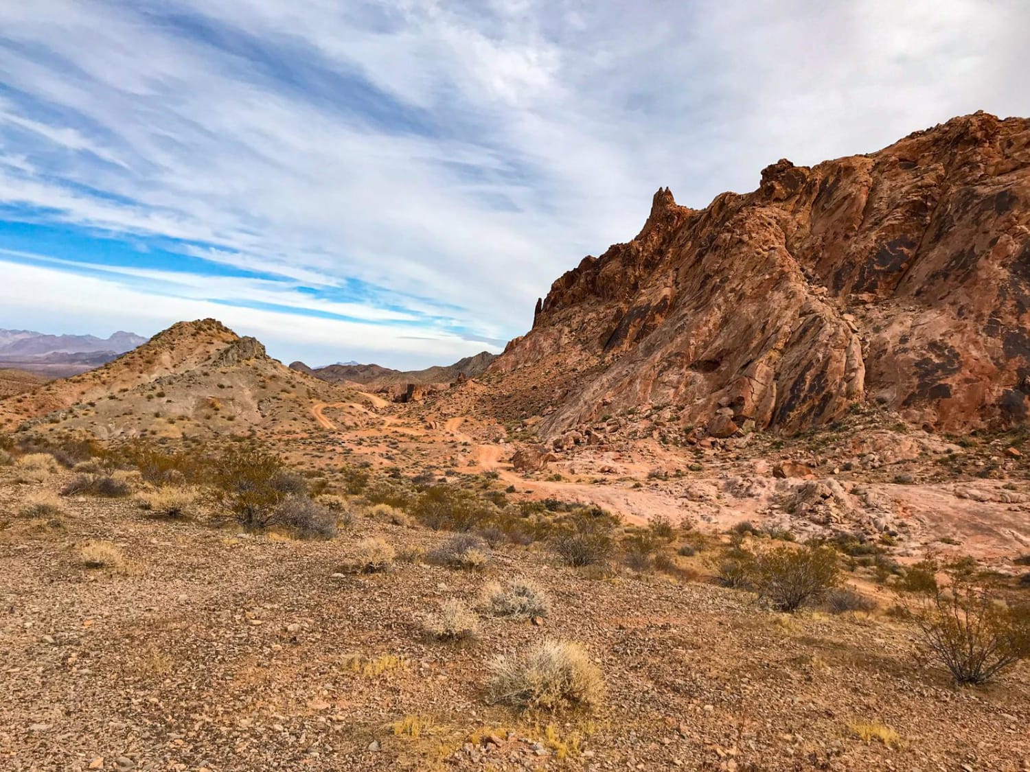
This trail begins and ends in the heart of Whitney pockets just outside of Mesquite, Nevada. It takes you through graded two-lane roads with a few washes. Before the arrival at Grand Goldmine, there is…
Learn more about Grand Gulch Mine and Staircase
Total Miles
64.1
Tech Rating
4 Easy
Best Time
Spring, Fall, Winter
Learn more about Grand Gulch Road/Azure Ridge Draw BLM 1215
Grand Gulch Road/Azure Ridge Draw BLM 1215

Grand Gulch Road/Azure Ridge Draw BLM 1215

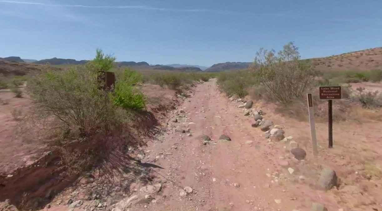
Grand Gulch Road/Azure Ridge Draw BLM 1215 is a 1.7-mile single-track road that is rated 3 of 10. It is comprised of a dirt road and sandy wash that generally runs north to south from…
Learn more about Grand Gulch Road/Azure Ridge Draw BLM 1215
Total Miles
1.7
Tech Rating
3 Easy
Best Time
Spring, Summer, Fall, Winter
Learn more about Grand Wash
Grand Wash

Grand Wash

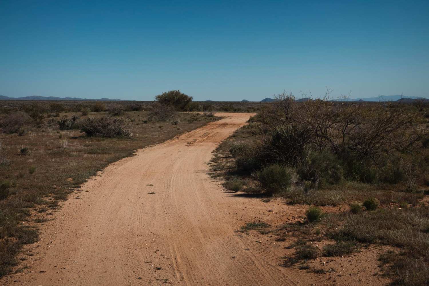
Grand Wash is a pleasant deviation from the typical washes in this area. On the north end, you'll start on a wide plateau with plenty of room to pass and a few sporadic areas for…
Learn more about Grand Wash
Total Miles
6.4
Tech Rating
3 Easy
Best Time
Spring, Summer, Fall
Learn more about Granite Mountain Loop
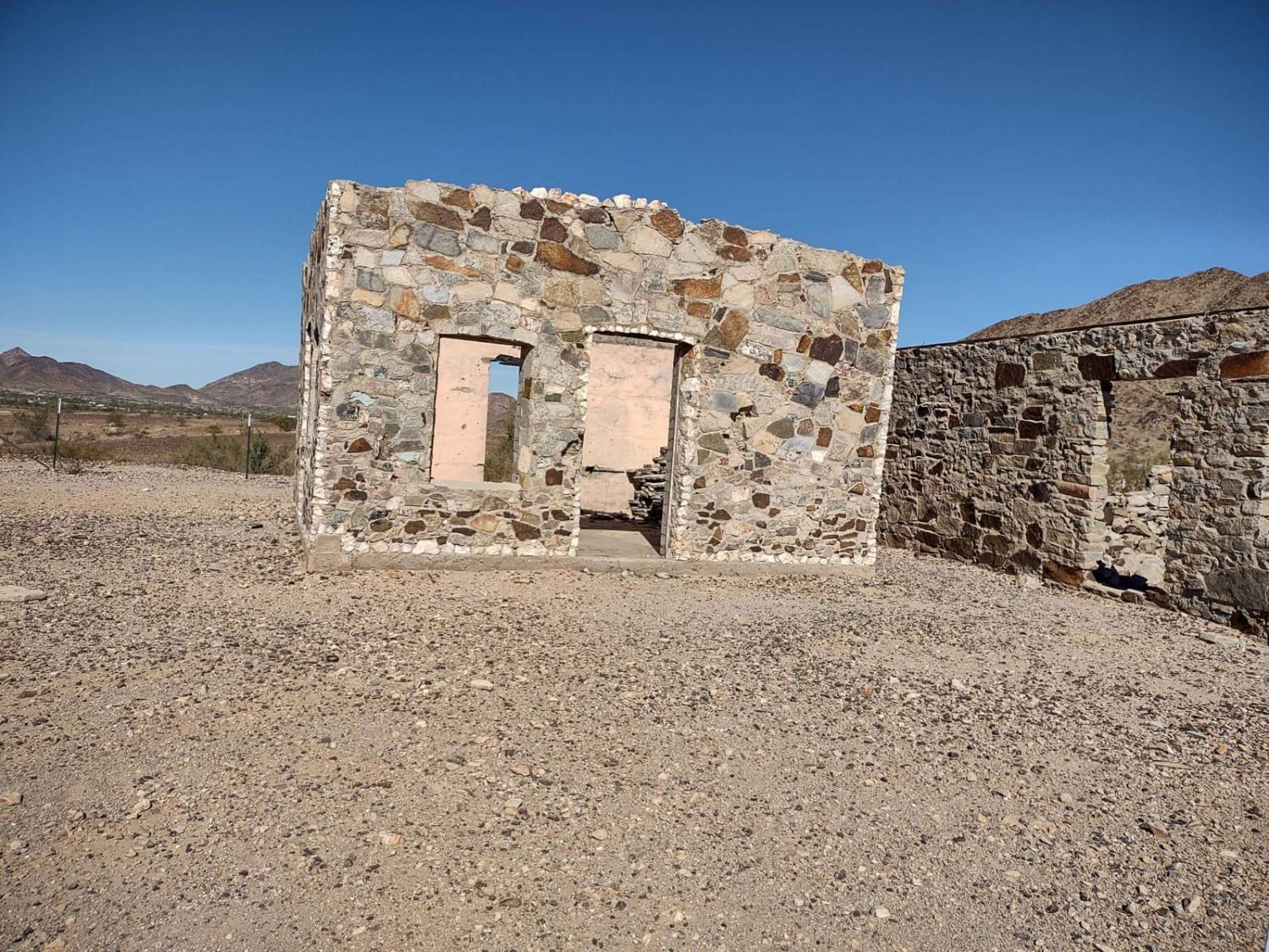
Granite Mountain Loop

Granite Mountain Loop

This 6.75-mile trail loops around Granite Mountain, which is just south of Quartzsite. It takes you right by Joseph Cone's Stone Cabin. The track is on BLM public lands. The wildlife possibilities include bighorn sheep,…
Learn more about Granite Mountain Loop
Total Miles
6.6
Tech Rating
2 Easy
Best Time
Spring, Fall, Winter
Learn more about Grapevine
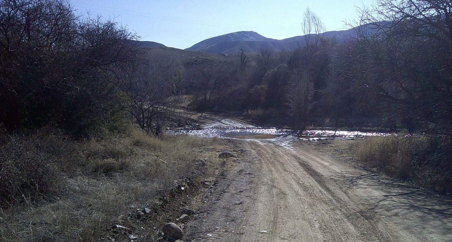
Grapevine

Grapevine

Grapevine road is a rocky, sandy, and gravel mixed surface road that runs through Prescott National Forest. There is a gate about the middle of the trail, please remember to close it behind you. The…
Learn more about Grapevine
Total Miles
3.4
Tech Rating
3 Easy
Best Time
Summer, Spring, Fall
Learn more about Grapevine #543
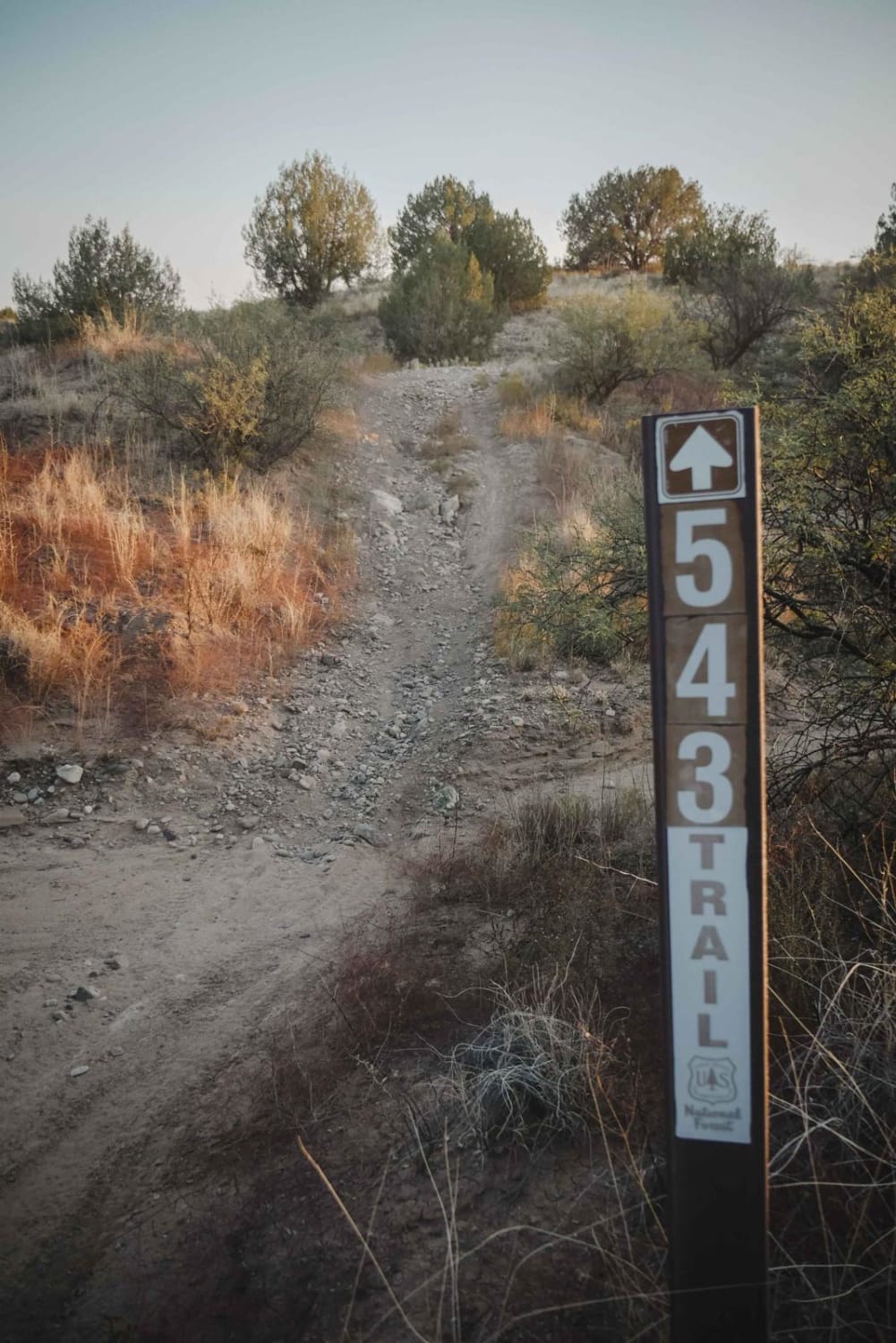
Grapevine #543

Grapevine #543

Grapevine is a 50-inch trail in the Hayfield Draw OHV area near Camp Verde, Arizona, and is one of the first trails accessed from the staging area. This trail heads south from the parking lot,…
Learn more about Grapevine #543
Total Miles
1.4
Tech Rating
2 Easy
Best Time
Spring, Fall, Winter
Learn more about Grass Mine Trail
Grass Mine Trail

Grass Mine Trail

Treat this as an out-and-back trail. It could connect up behind the neighborhood to the northwest, but that's a maze of roads and private property to get out. The main trail begins off of the…
Learn more about Grass Mine Trail
Total Miles
3.3
Tech Rating
4 Moderate
Best Time
Spring, Fall, Winter
Learn more about Grassy Point Road - BLM 1046
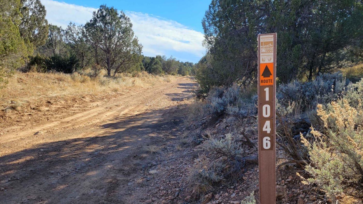
Grassy Point Road - BLM 1046

Grassy Point Road - BLM 1046

Grassy Point Road (BLM 1046) is a nearly six-mile, beautiful, hilly trail that connects to several other trails in the area. The trail is nice and wide, suitable for full-size vehicles, and is marked with…
Learn more about Grassy Point Road - BLM 1046
Total Miles
5.5
Tech Rating
3 Easy
Best Time
Spring, Fall, Winter
Learn more about Graver Wash
Graver Wash

Graver Wash

Graver Wash begins easy enough, with dirt, erosion, and a few sneaky rocks. As you progress southward, this trail gets more and more rough and rocky, with erosion and ledges becoming the theme of the…
Learn more about Graver Wash
Total Miles
4.2
Tech Rating
4 Moderate
Best Time
Spring, Summer, Fall

The onX Offroad Difference

onX Offroad combines trail photos, descriptions, difficulty ratings, width restrictions, seasonality, and more in a user-friendly interface. Available on all devices, with offline access and full compatibility with CarPlay and Android Auto. Discover what you’re missing today!