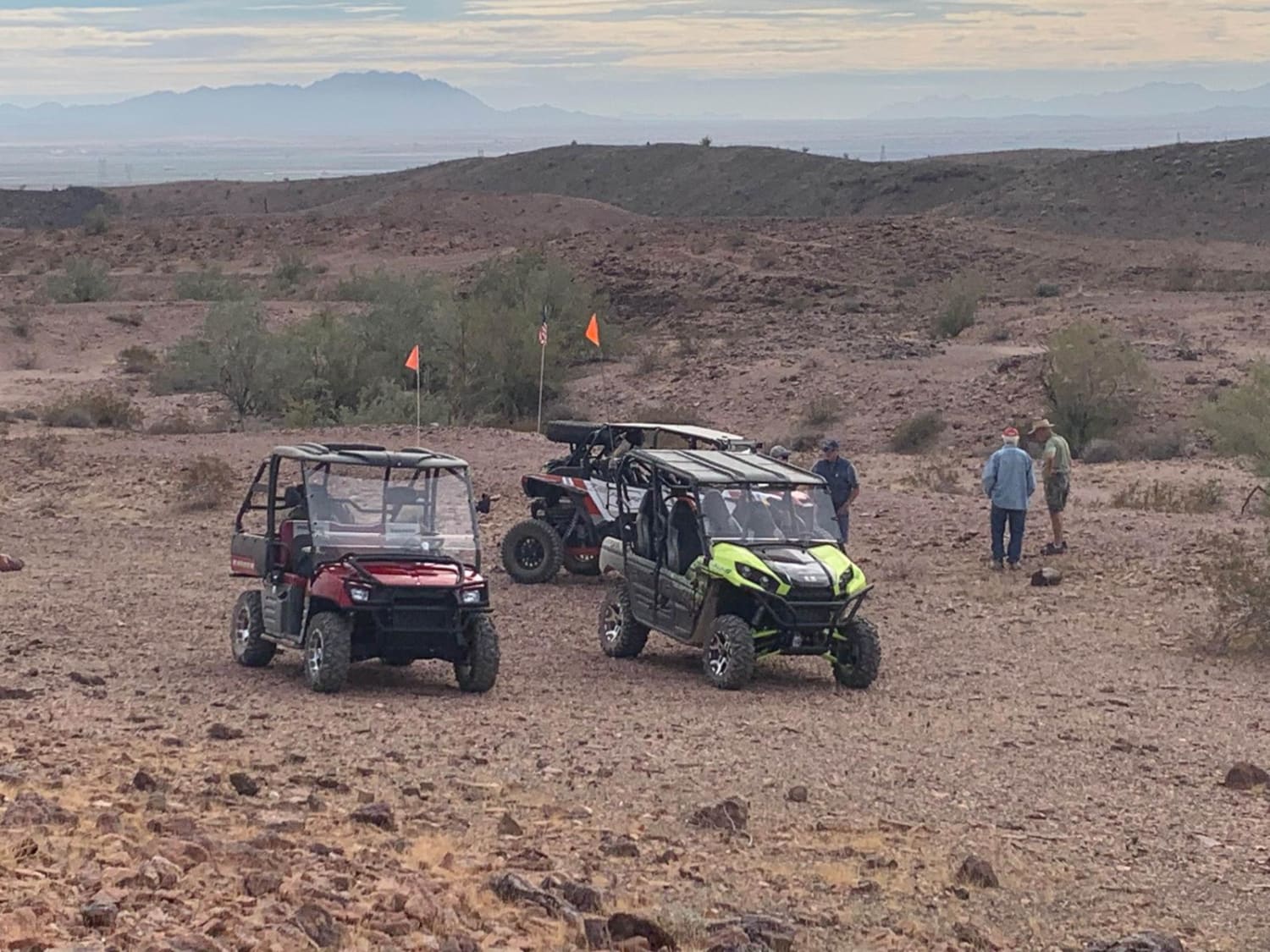
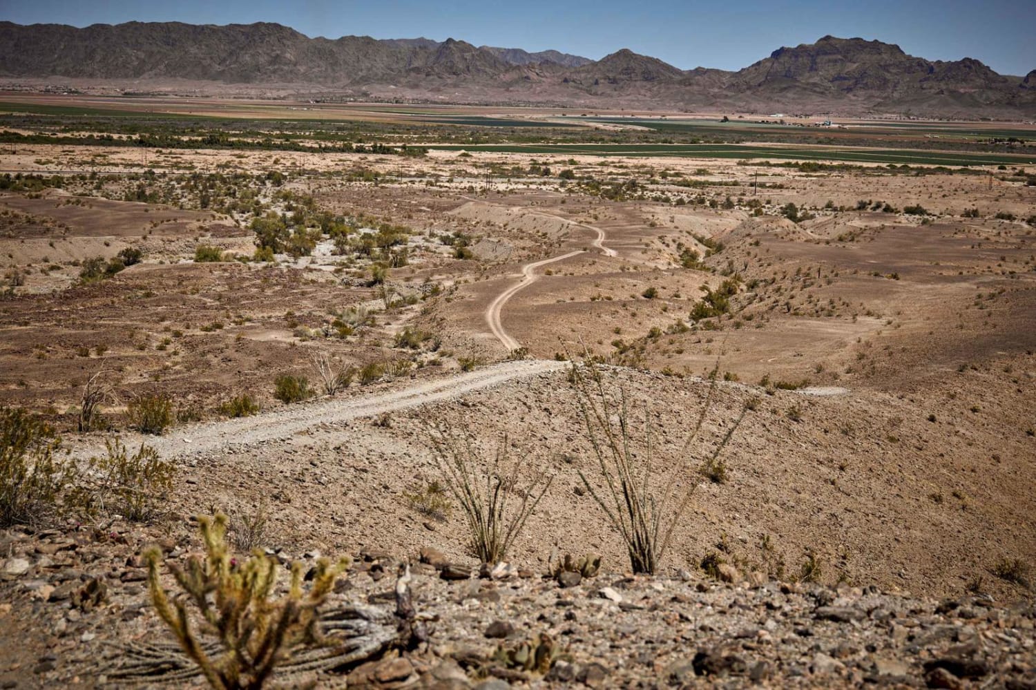
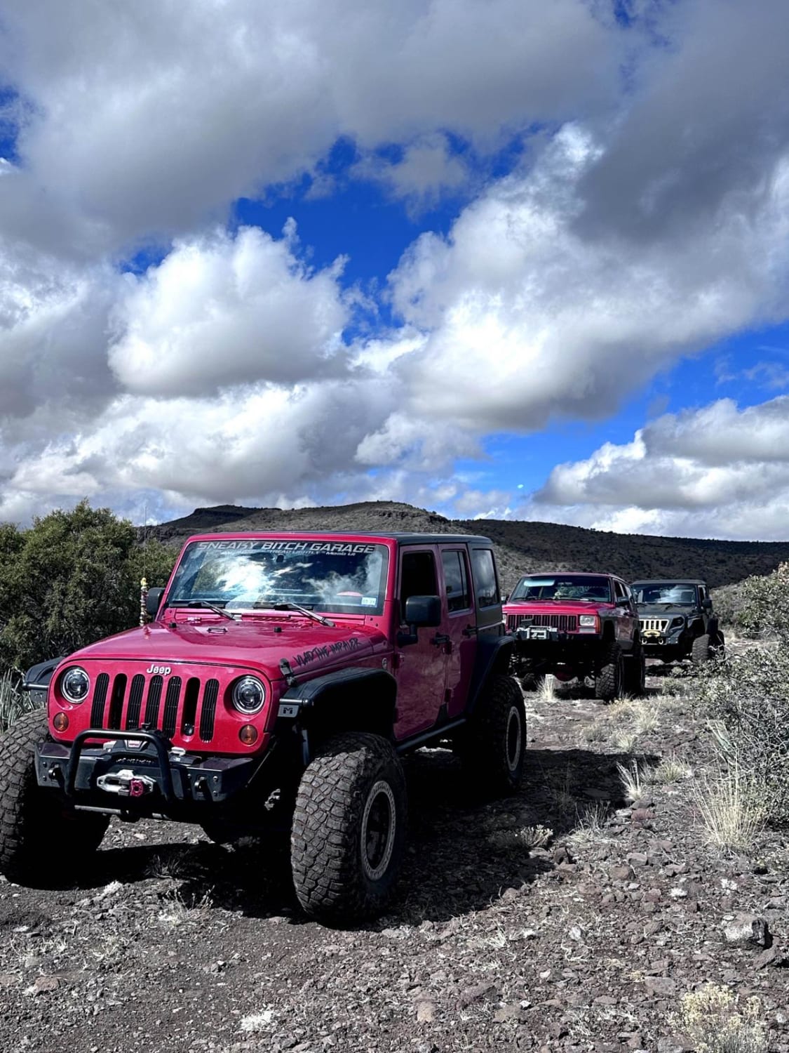
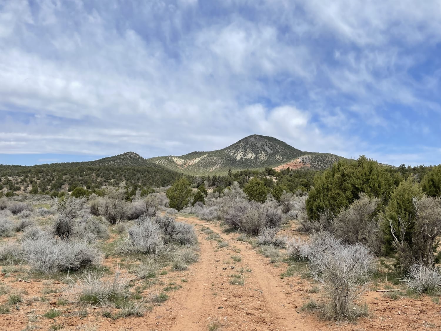
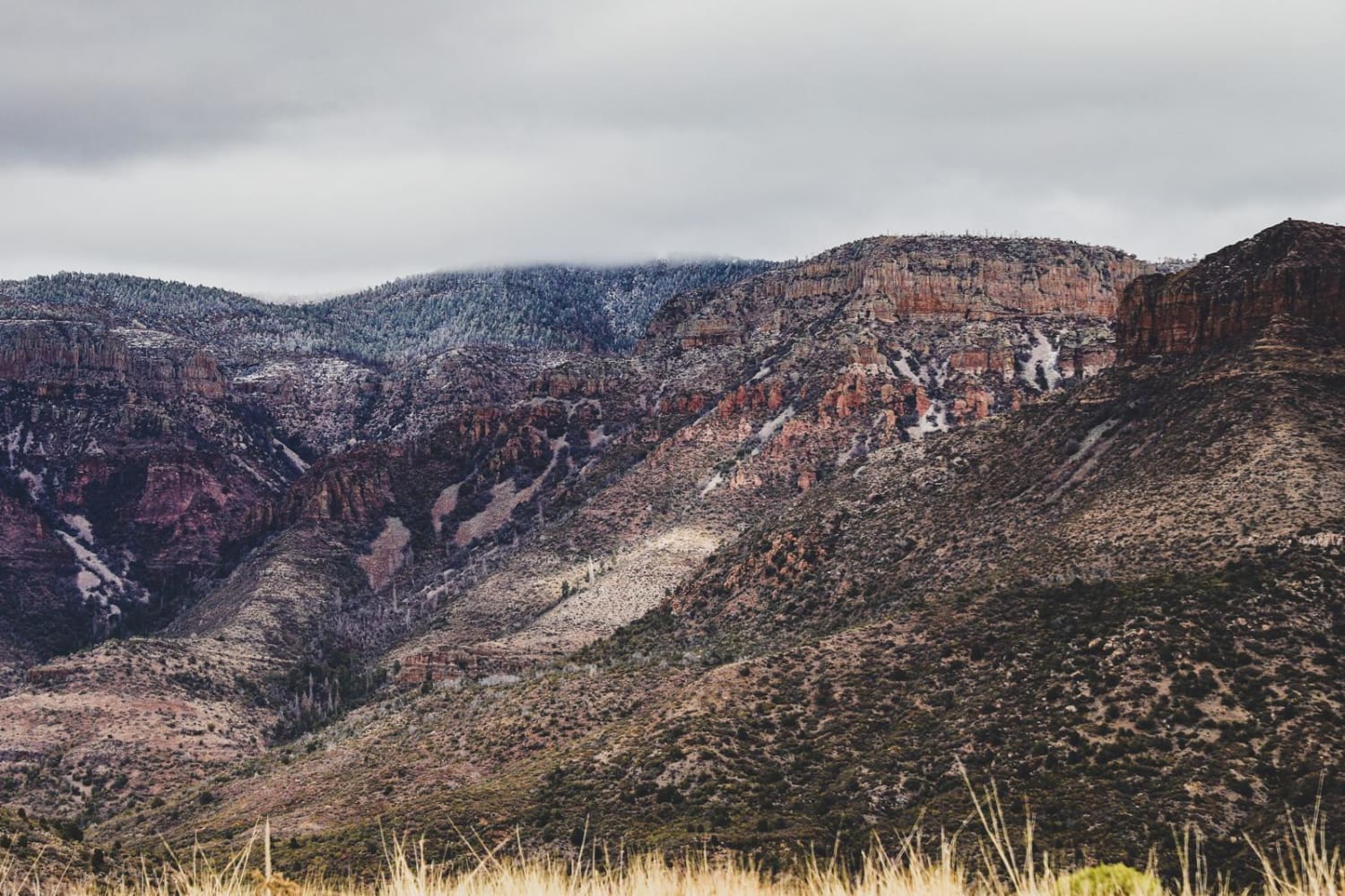
Off-Road Trails in Arizona
Discover off-road trails in Arizona
Learn more about Mount Union Overlook
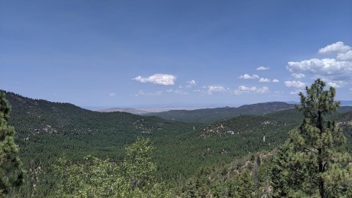
Mount Union Overlook
Total Miles
9.9
Tech Rating
Moderate
Best Time
Spring, Summer, Fall
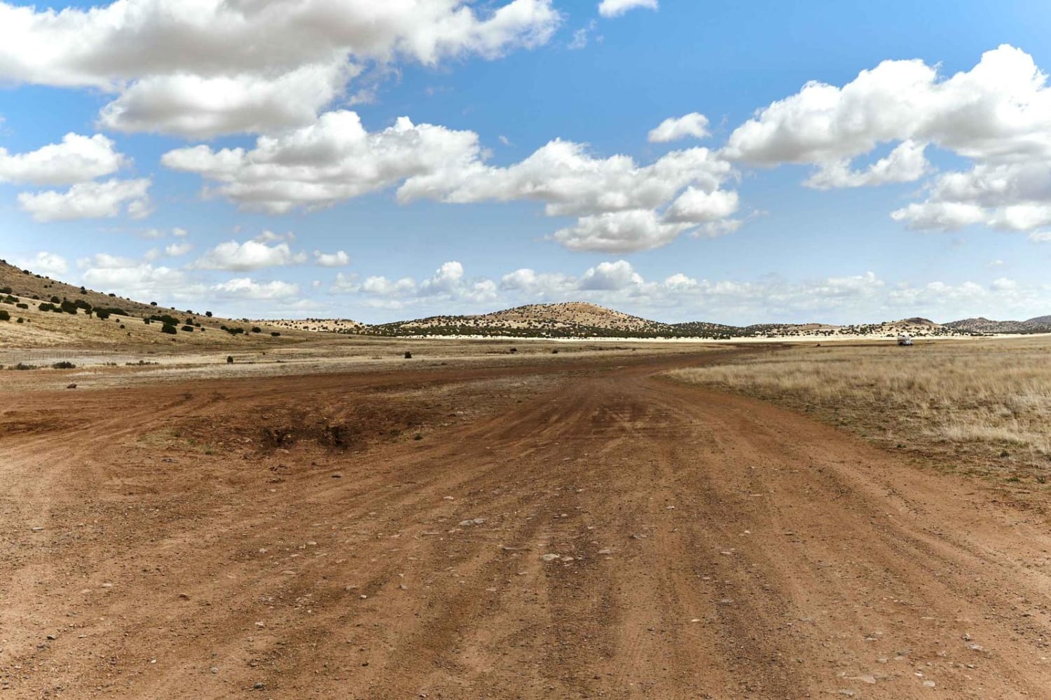
Learn more about Mud Springs
Mud Springs
Total Miles
7.5
Tech Rating
Difficult
Best Time
Spring, Summer, Fall, Winter
Learn more about Muggins Mountain East Red Bluff
Muggins Mountain East Red Bluff
Total Miles
4.9
Tech Rating
Easy
Best Time
Spring, Summer, Fall, Winter
Learn more about Muggins Mountain Red Bluff East
Muggins Mountain Red Bluff East
Total Miles
9.6
Tech Rating
Easy
Best Time
Spring, Summer, Fall, Winter
Learn more about Muggins Mountain Wash
Muggins Mountain Wash
Total Miles
1.8
Tech Rating
Moderate
Best Time
Spring, Fall, Winter
Learn more about Muggins Mountain West
Muggins Mountain West
Total Miles
5.4
Tech Rating
Moderate
Best Time
Spring, Summer, Fall, Winter
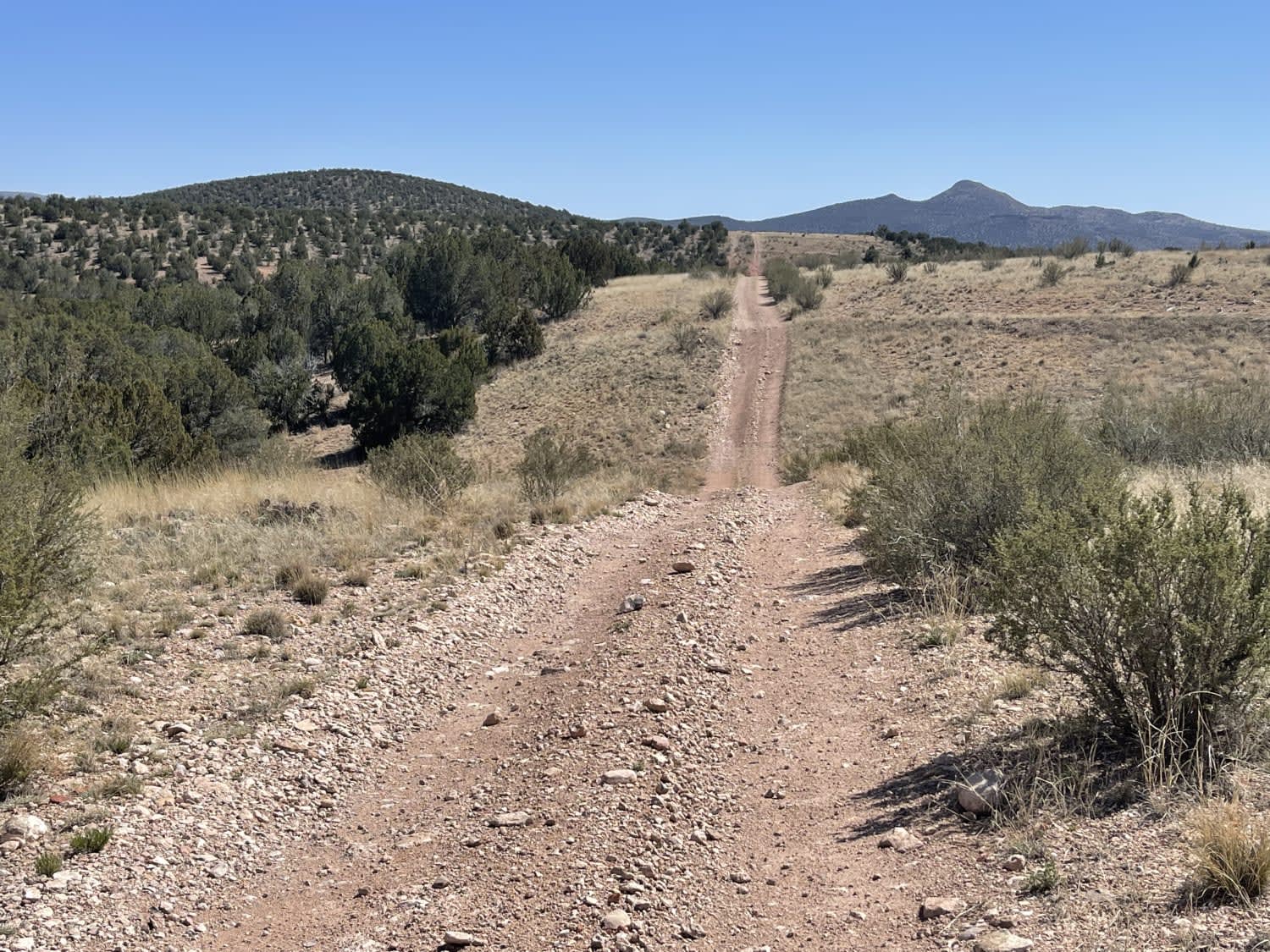
Learn more about Muldoon / 638
Muldoon / 638
Total Miles
8.3
Tech Rating
Easy
Best Time
Spring, Fall, Winter
Learn more about Muldoon's Dead End
Muldoon's Dead End
Total Miles
2.8
Tech Rating
Moderate
Best Time
Fall, Spring
Learn more about Munds Canyon
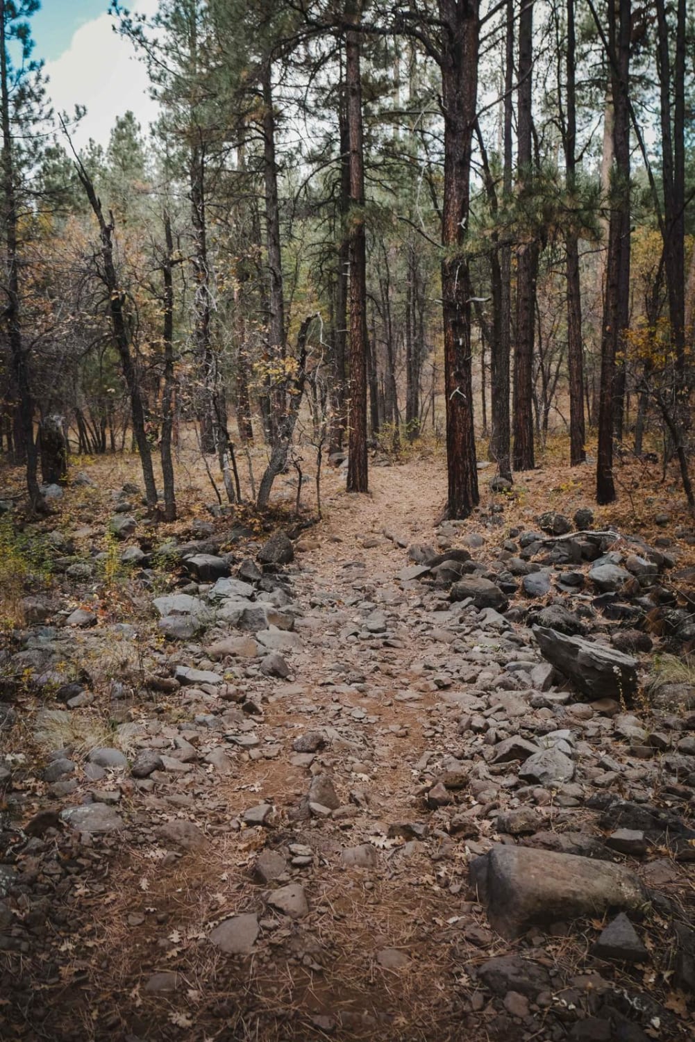
Munds Canyon
Total Miles
2.3
Tech Rating
Easy
Best Time
Spring, Summer, Fall
Learn more about Mushroom Loop
Mushroom Loop
Total Miles
17.1
Tech Rating
Easy
Best Time
Summer, Fall
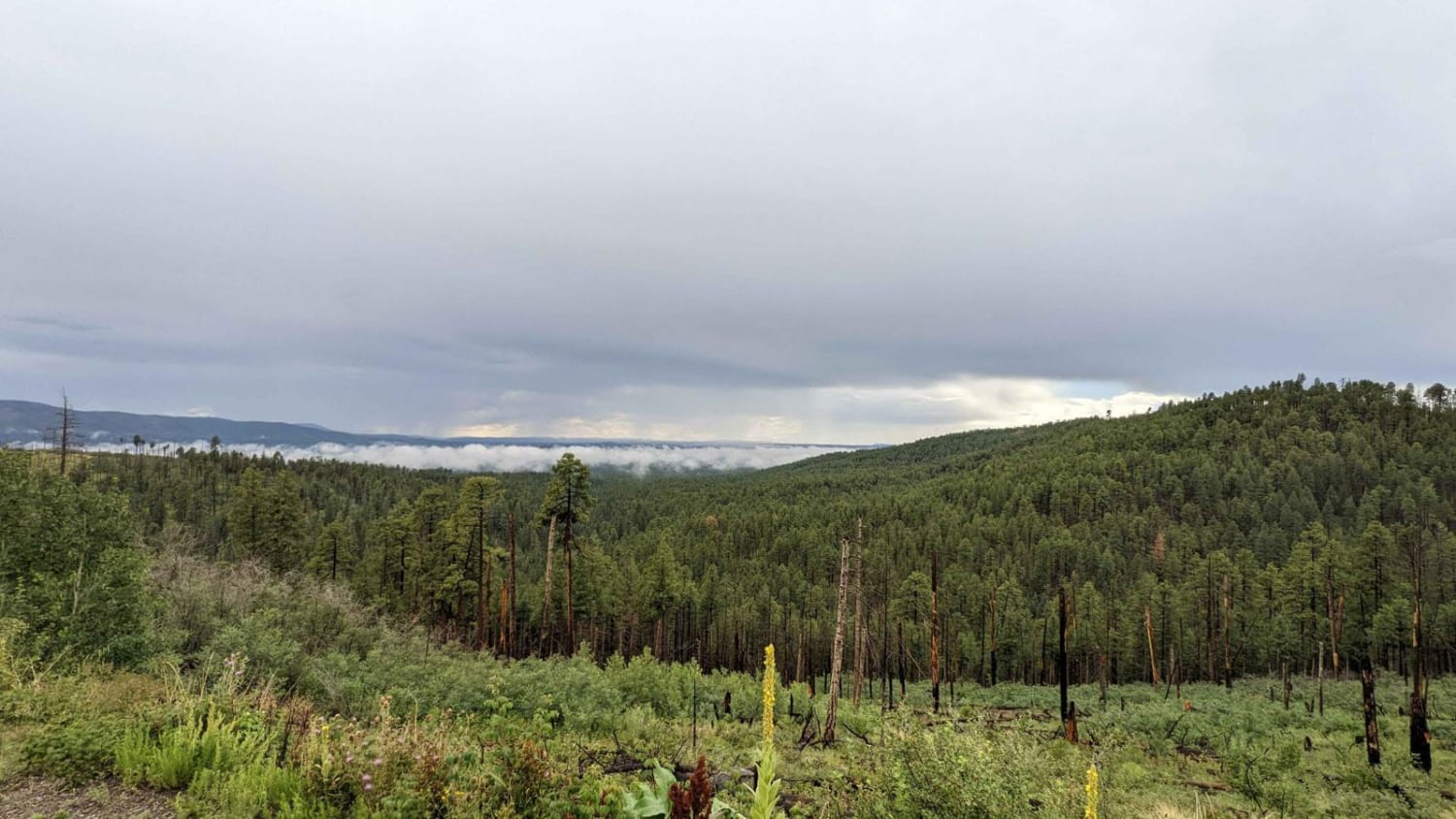
Learn more about Music Mountains Trail
Music Mountains Trail
Total Miles
16.9
Tech Rating
Easy
Best Time
Spring, Fall, Winter, Summer
Learn more about Mustang Knoll
Mustang Knoll
Total Miles
6.2
Tech Rating
Easy
Best Time
Fall, Spring
Learn more about Nampaweap Petroglyph Trail BLM 1028
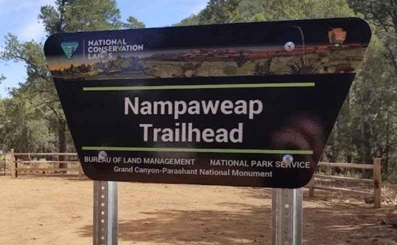
Nampaweap Petroglyph Trail BLM 1028
Total Miles
1.1
Tech Rating
Easy
Best Time
Spring, Summer, Fall
Learn more about Natural Drainage Rd 488
Natural Drainage Rd 488
Total Miles
2.9
Tech Rating
Easy
Best Time
Spring, Summer
Learn more about Navajo Trail West
Navajo Trail West
Total Miles
16.0
Tech Rating
Easy
Best Time
Spring, Summer, Fall, Winter
Learn more about Nemo Spring
Nemo Spring
Total Miles
5.0
Tech Rating
Moderate
Best Time
Fall, Spring
Learn more about New Alamo Road
New Alamo Road
Total Miles
9.2
Tech Rating
Easy
Best Time
Winter, Fall, Spring
Go Farther
Try onX Offroad Elite for free for a week — no strings attached. Get access to thousands of off-road dirt trails and snowmobile trails across the nation. View your favorite zones in 3D. Send trails to friends. Start planning the trip of a lifetime now.