Off-Road Trails in Oregon

Discover off-road trails in Oregon

Learn more about Lookout Point Trail
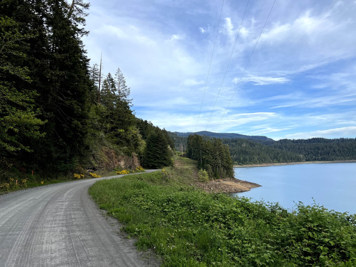
Lookout Point Trail

Lookout Point Trail

NF-5821 is a dirt road on the opposite side of Willamette Highway 58, separated by Lookout Point Lake. The locals use this road as an alternative route when Highway 58 is closed due to a…
Learn more about Lookout Point Trail
Total Miles
14.3
Tech Rating
2 Easy
Best Time
Spring, Summer
Learn more about Lost Creek
Lost Creek

Lost Creek

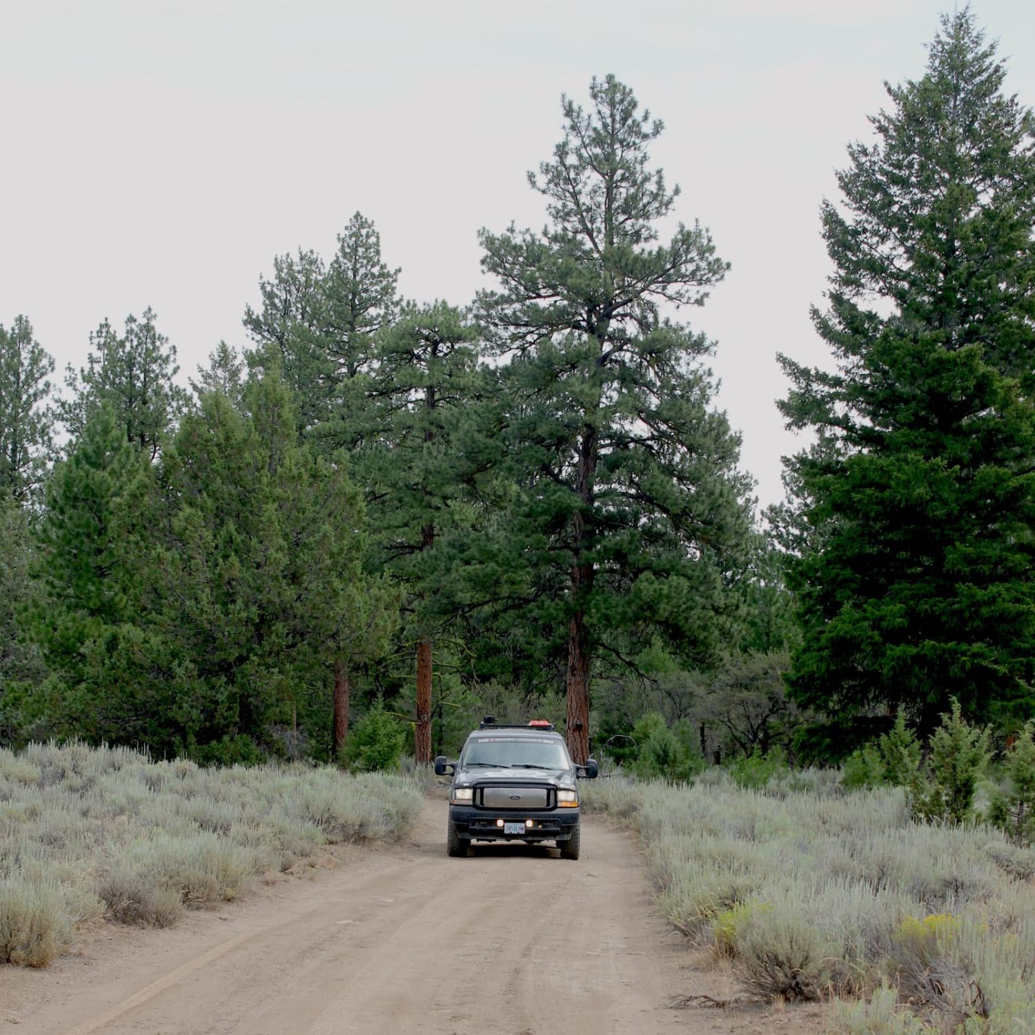
This trail goes through an old-growth ponderosa pine forest above the Silvies River, near the small town of Burns. Between the river and the road are some high rimrocks, which make up the cliffs and…
Learn more about Lost Creek
Total Miles
8.1
Tech Rating
3 Easy
Best Time
Spring, Summer, Fall
Learn more about Lost Creek Loop
Lost Creek Loop

Lost Creek Loop

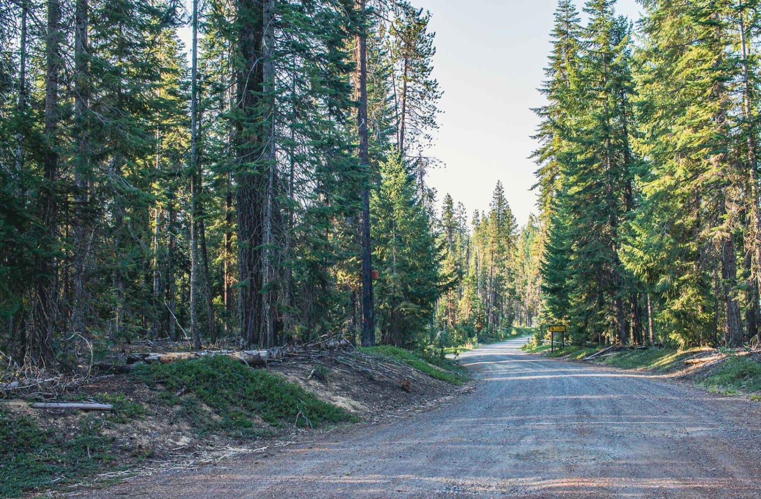
Lost Creek Loop is a wide single-car gravel road, with enough room to pass two cars if need be, there are a few sections however that get a little tight. It runs through the Willamette…
Learn more about Lost Creek Loop
Total Miles
7.9
Tech Rating
1 Easy
Best Time
Spring, Summer, Fall
Learn more about Lost Lake
Lost Lake

Lost Lake

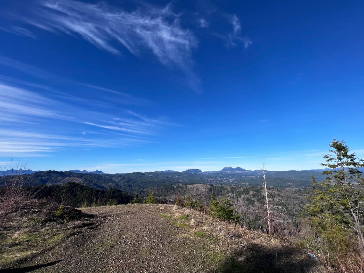
This is a fairly short route that branches off from Nehalem River Road, taking you to the beautiful Lost Lake in the Oregon Coast Range. The road can get pretty washer boarded with some pot…
Learn more about Lost Lake
Total Miles
4.1
Tech Rating
2 Easy
Best Time
Winter, Fall, Summer
Learn more about Lousignot Road
Lousignot Road

Lousignot Road

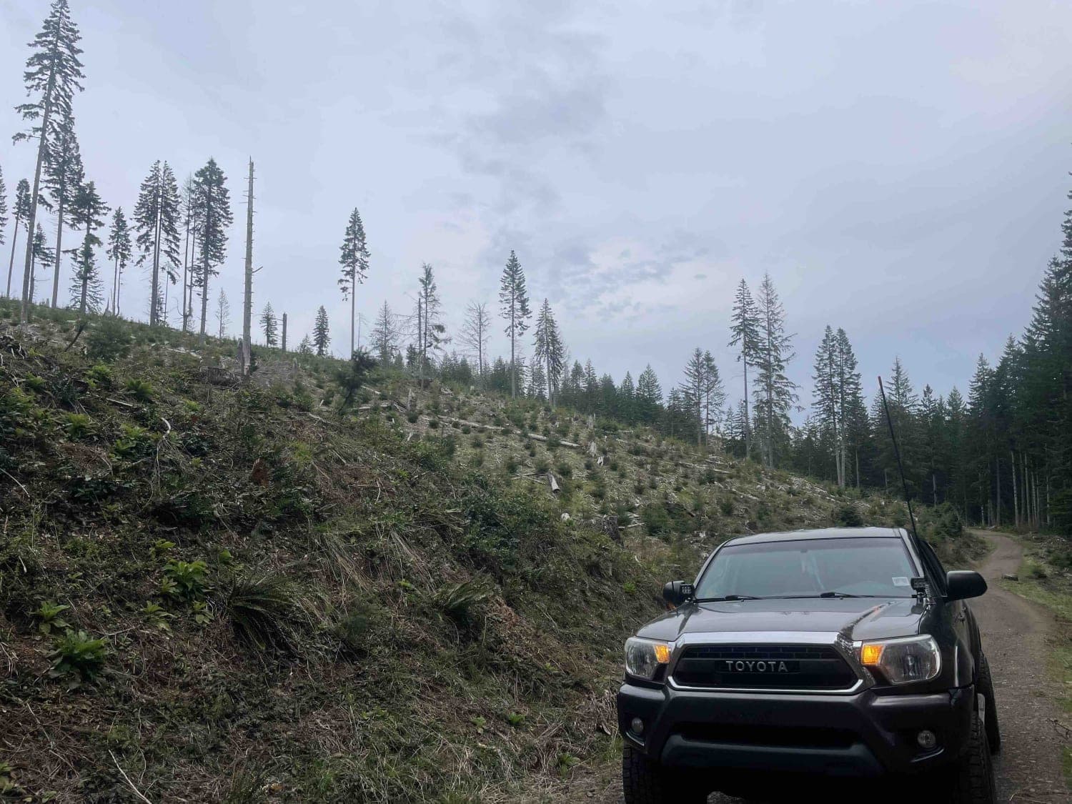
Beware of logging trucks and some major potholes in the beginning. This is an active logging road, so pay attention to the C.B. channel and look for wide spots to pass oncoming traffic. After the…
Learn more about Lousignot Road
Total Miles
7.1
Tech Rating
1 Easy
Best Time
Spring, Summer, Fall, Winter
Learn more about Lower Butte Loops Trail
Lower Butte Loops Trail

Lower Butte Loops Trail

The Lower Butte Loops, also known as FSR 1105, is a pretty straightforward 6.8-mile trail winding through dense pine needle-covered trails. Roll down your windows and take in the crisp smells of the pines as…
Learn more about Lower Butte Loops Trail
Total Miles
6.3
Tech Rating
2 Easy
Best Time
Spring, Summer, Fall
Learn more about Lower Cold Spring
Lower Cold Spring

Lower Cold Spring

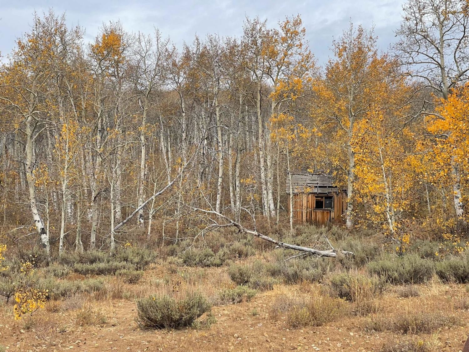
This is the less-traveled section of the Cold Springs Trail. It has some sweet old cabins and quite a few hiking trails that lead from it. Be aware it's an out-and-back. The trail rating of…
Learn more about Lower Cold Spring
Total Miles
8.7
Tech Rating
4 Moderate
Best Time
Fall, Summer
Learn more about Lower Cross District Trail
Lower Cross District Trail

Lower Cross District Trail

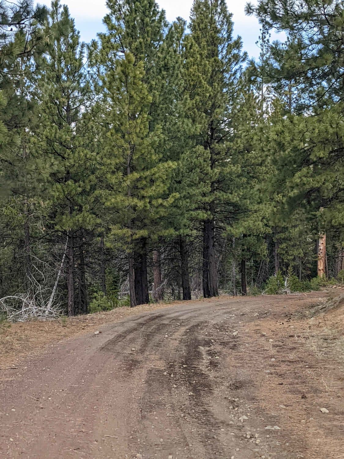
Wide, graded cinder Forest Service Road with occasional rocky sections. This road runs North - South between historic McKenzie Highway and the historic Old Santiam Road. Spur roads to the West dead-end shortly at the…
Learn more about Lower Cross District Trail
Total Miles
5.8
Tech Rating
1 Easy
Best Time
Summer, Fall, Spring
Learn more about Lower Deschutes River Access Road
Lower Deschutes River Access Road

Lower Deschutes River Access Road

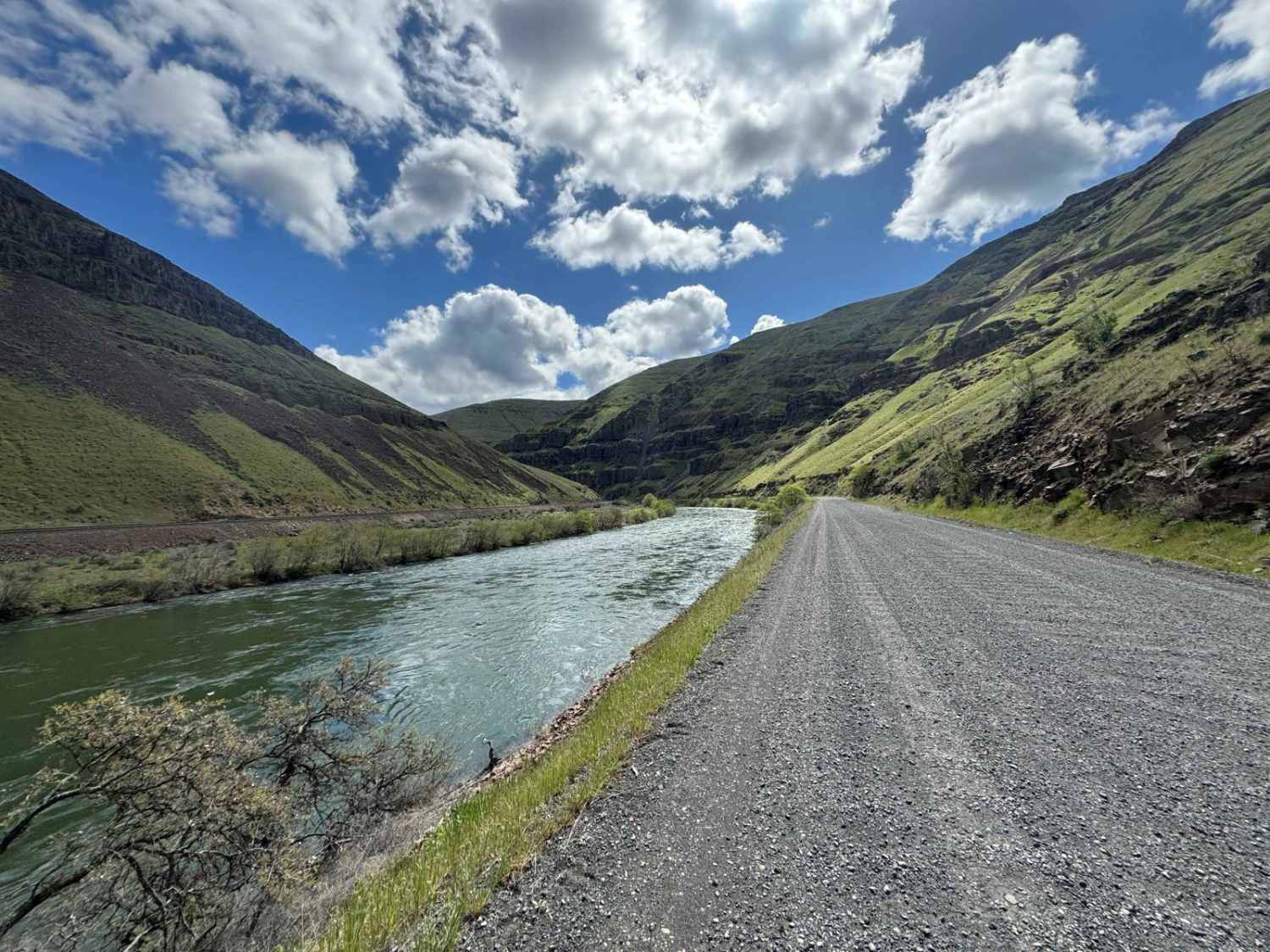
Take your time and enjoy the rugged beauty as you travel down this deep rimrock-lined canyon section of the Deschutes River, a designated Federal Wild and Scenic River. This road ends 17 miles down the…
Learn more about Lower Deschutes River Access Road
Total Miles
17.8
Tech Rating
1 Easy
Best Time
Spring, Summer, Fall, Winter
Learn more about Lower Emily
Lower Emily

Lower Emily

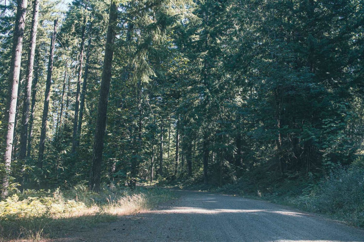
Lower Emily road is an easy gravel road that leads you to access Grotto Falls Trailhead. There is a pit toilet at the trailhead right after the bridge. The road after that gets tight and…
Learn more about Lower Emily
Total Miles
2.4
Tech Rating
1 Easy
Best Time
Spring, Summer, Fall
Learn more about Lower McKay Creek Road to West Fork Mill Creek Road
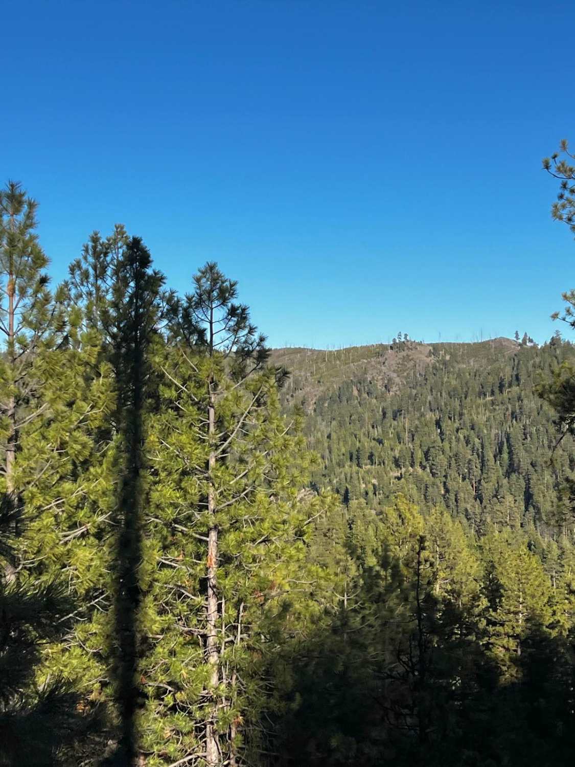
Lower McKay Creek Road to West Fork Mill Creek Road

Lower McKay Creek Road to West Fork Mill Creek Road

This route winds through the Ochoco National Forest and is composed mainly of Forest Service roads that are washboarded and rutted. About halfway through the route, you will be following along a creek with downed…
Learn more about Lower McKay Creek Road to West Fork Mill Creek Road
Total Miles
10.1
Tech Rating
4 Moderate
Best Time
Spring, Summer, Fall
Learn more about Lower Nehalem Road Beach Route
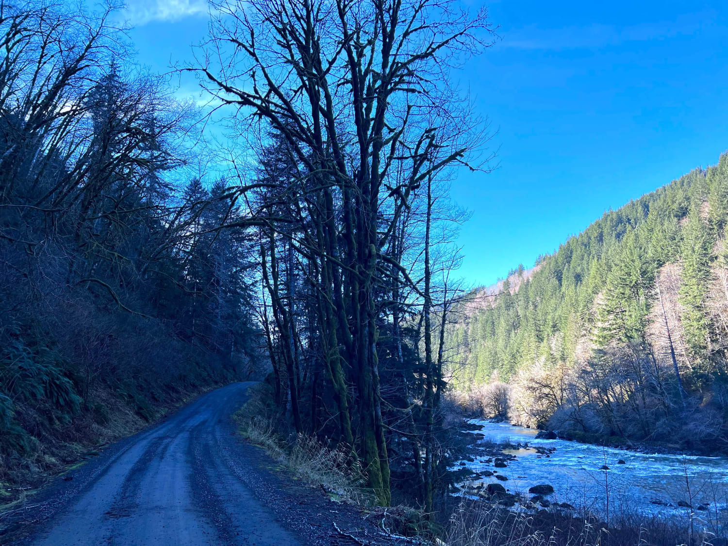
Lower Nehalem Road Beach Route

Lower Nehalem Road Beach Route

This route is a nice backcountry route that leads from HWY 26 towards Nehalem Bay. The first section of this road is paved and then turns into 11 miles of gravel. There are a couple…
Learn more about Lower Nehalem Road Beach Route
Total Miles
11.1
Tech Rating
2 Easy
Best Time
Spring, Summer, Fall, Winter
Learn more about Lucky 7 Loop
Lucky 7 Loop

Lucky 7 Loop

Going from north to south, this route begins near the Lucky 7 Cow Camp and visits an interesting canyon as well as a plane crash site and debris field. The route is not too rugged…
Learn more about Lucky 7 Loop
Total Miles
12.2
Tech Rating
5 Moderate
Best Time
Summer
Learn more about Lucky Butte Lakes
Lucky Butte Lakes

Lucky Butte Lakes

Depending on your starting location, North or South, either end of this trail is an great place to start. There are plenty of campsites and day use areas to stage your group in or just…
Learn more about Lucky Butte Lakes
Total Miles
22.5
Tech Rating
3 Easy
Best Time
Summer, Spring, Fall
Learn more about Mahan Reservoir Quail Creek
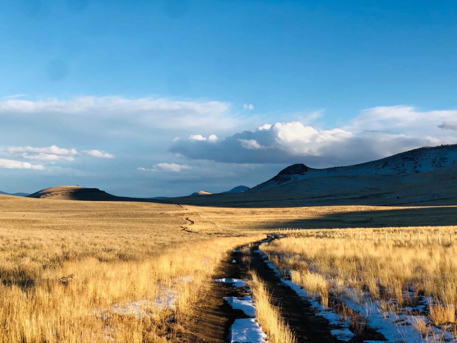
Mahan Reservoir Quail Creek

Mahan Reservoir Quail Creek

This trail is a perfect way to get up into the Steens Mountains from Alvord valley below. It starts as a well-maintained gravel trail and becomes a short shelf road with a few steep sections.…
Learn more about Mahan Reservoir Quail Creek
Total Miles
7.0
Tech Rating
3 Easy
Best Time
Spring, Summer, Fall
Learn more about Malheur Ford
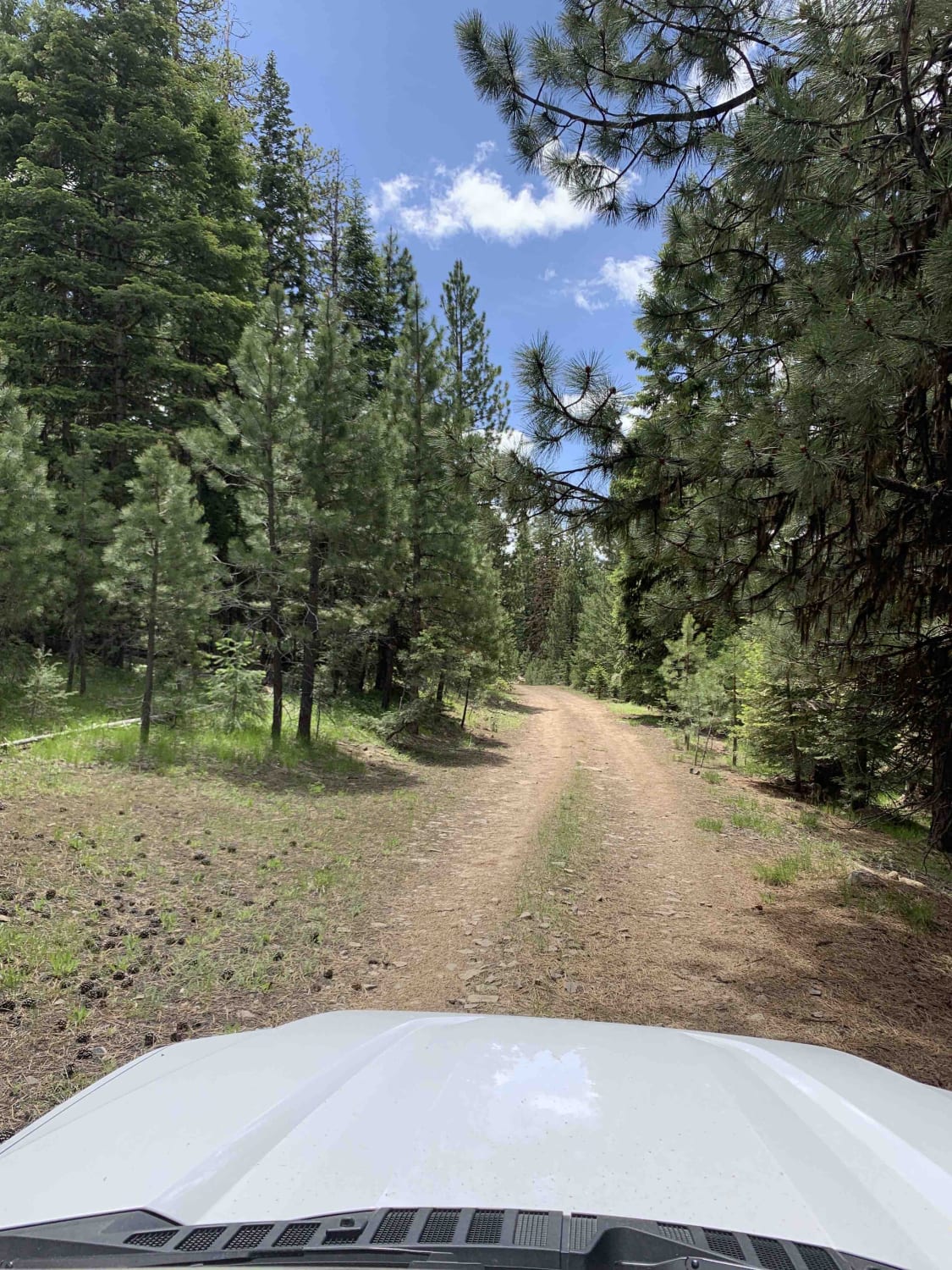
Malheur Ford

Malheur Ford

This is a longer, more adventurous, alternative to the section on NF-16 that passes through Crane Prairie. Along the route you'll encounter a water crossing, numerous wild camping sites, and incredible views of the Malheur…
Learn more about Malheur Ford
Total Miles
30.7
Tech Rating
4 Moderate
Best Time
Summer, Spring, Fall
Learn more about Mann Lake
Mann Lake

Mann Lake

This partial loop around the lake is packed with camping and recreation. Most of the year, the lake is dry, but that doesn't mean the views aren't impressive. The stunning Steens Mountains rise from the…
Learn more about Mann Lake
Total Miles
1.5
Tech Rating
2 Easy
Best Time
Fall, Spring
Learn more about Mann Lake North Gate
Mann Lake North Gate

Mann Lake North Gate

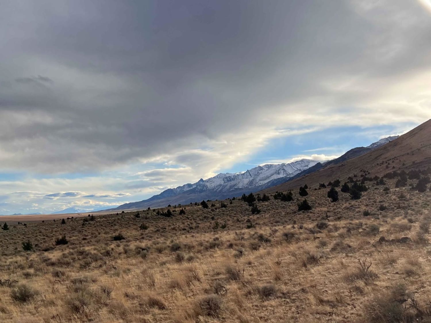
This bumpy out and back heads a short distance up into the hills. It starts in long grassy fields and then transitions into dense juniper forests. Once in the junipers, the trail narrows until it…
Learn more about Mann Lake North Gate
Total Miles
1.1
Tech Rating
4 Moderate
Best Time
Spring
Learn more about Marble Creek Pass

Marble Creek Pass

Marble Creek Pass

Marble Creek Pass is in the Elkhorn Mountain range west of Baker City in eastern Oregon. Marble Creek Road out of Baker City becomes forest road NF6510 (Marble Creek Pass Rd). It's approximately 9 miles…
Learn more about Marble Creek Pass
Total Miles
16.5
Tech Rating
3 Moderate
Best Time
Spring, Summer
Learn more about Marble Creek Pass to Sumpter
Marble Creek Pass to Sumpter

Marble Creek Pass to Sumpter

This short and easy route connects the small town of Sumpter to Marble Creek Pass. The forest service roads that comprise this track are well maintained and easy to navigate. Along the way you'll meander…
Learn more about Marble Creek Pass to Sumpter
Total Miles
7.8
Tech Rating
2 Easy
Best Time
Spring, Summer, Fall
1 ... 9 10 11 12 13 14 15 16 17 18 ... 24

The onX Offroad Difference

onX Offroad combines trail photos, descriptions, difficulty ratings, width restrictions, seasonality, and more in a user-friendly interface. Available on all devices, with offline access and full compatibility with CarPlay and Android Auto. Discover what you’re missing today!