Off-Road Trails in Utah

Discover off-road trails in Utah

Learn more about Chimney
 Chimney

Chimney

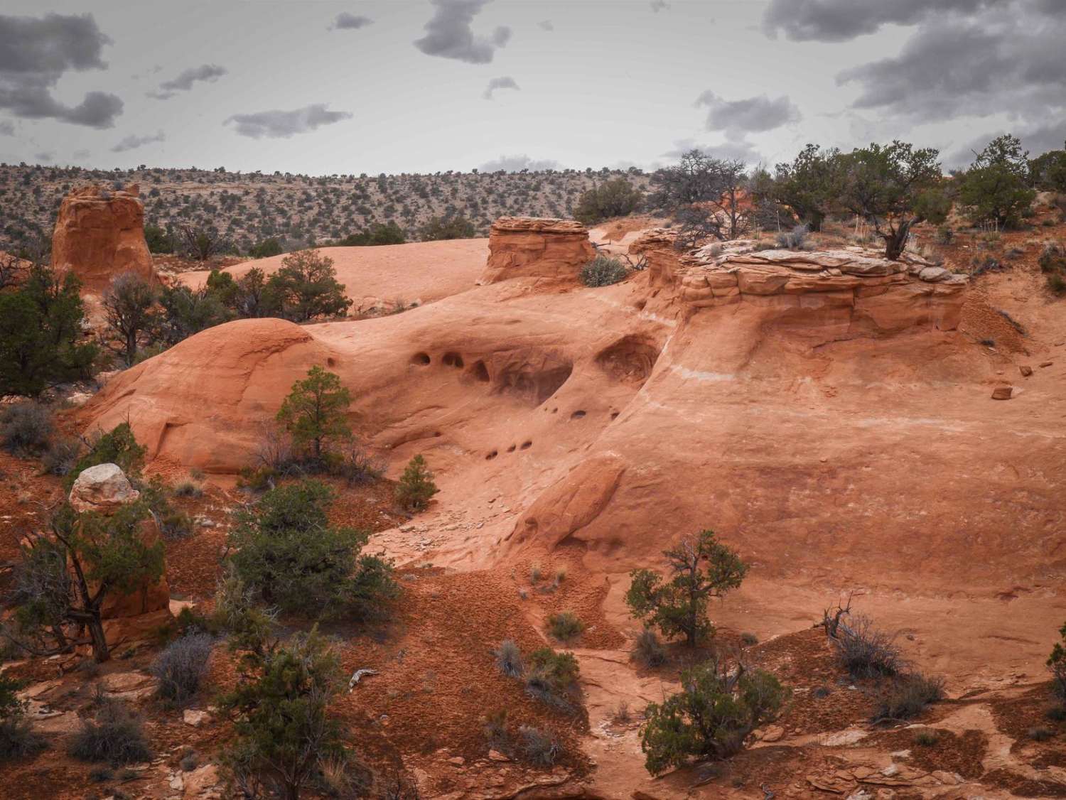
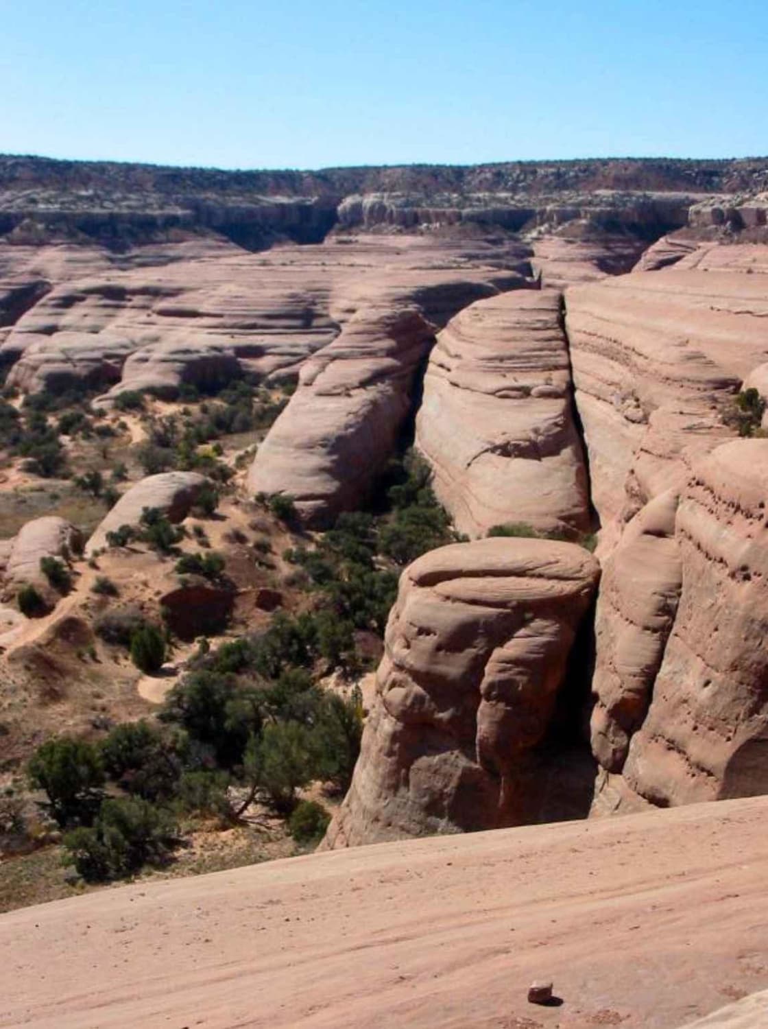
This 4-mile scenic track starts from County Road 240 as a wider dirt trail on top of a desert mesa. As it goes south, it has lots of unmarked intersections for spurs you can explore.…
Learn more about Chimney
Total Miles
3.5
Tech Rating
2 Easy
Best Time
Spring, Fall
Learn more about 10 Mile Valley
10 Mile Valley

10 Mile Valley

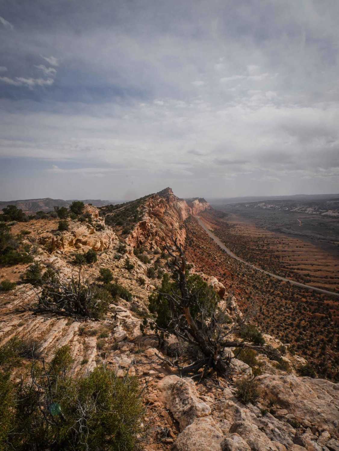
This is an enjoyable trail within Arches NP. It can be an out-and-back if you take it from the bottom, or you can link up with the top half via the Tower Arch 4x4 trail.…
Learn more about 10 Mile Valley
Total Miles
10.2
Tech Rating
3 Easy
Best Time
Spring, Fall
Learn more about 205
205

205

Road 205 starts off of Comb Ridge Descent and goes north for 2.2 miles on a full-width graded dirt road. As you drive north, you'll have views looking towards Comb Ridge and the tall red…
Learn more about 205
Total Miles
2.7
Tech Rating
1 Easy
Best Time
Spring, Fall
Learn more about 240
240

240

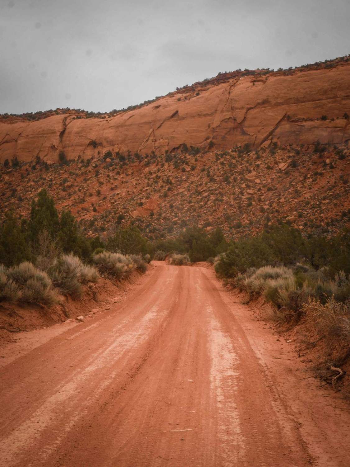
County Road 240 is a 9-mile-long full-width graded dirt road. It's smooth, hard-packed dirt, with nice views of all the surrounding green hills and mesas and pink sandstone layers. It's really scenic in a landscape…
Learn more about 240
Total Miles
9.0
Tech Rating
1 Easy
Best Time
Spring, Fall
Learn more about 274 Shumway Mines Road
274 Shumway Mines Road

274 Shumway Mines Road

This is a wide graded dirt road that starts off of South Elks Road, which is also wide and easy. It goes for 1.3 miles, making a sharp left turn when it comes to a…
Learn more about 274 Shumway Mines Road
Total Miles
1.2
Tech Rating
1 Easy
Best Time
Spring, Fall
Learn more about 30129 Sanford-Smith Canyon-Fremont ATV
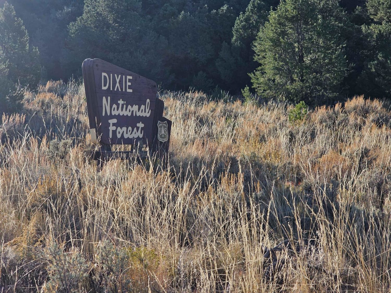
30129 Sanford-Smith Canyon-Fremont ATV

30129 Sanford-Smith Canyon-Fremont ATV

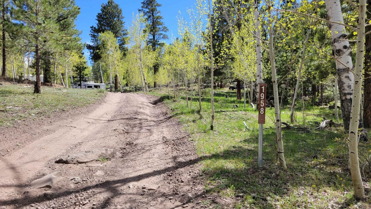
Sanford-Smith Canyon, also known as the Fremont ATV road (30129), offers a stunning journey through diverse landscapes. As you traverse this route, you'll encounter open valleys, dense groves of aspen trees, captivating rock formations, and…
Learn more about 30129 Sanford-Smith Canyon-Fremont ATV
Total Miles
19.4
Tech Rating
3 Easy
Best Time
Spring, Summer, Fall
Learn more about 30323 - Wildcat Trail
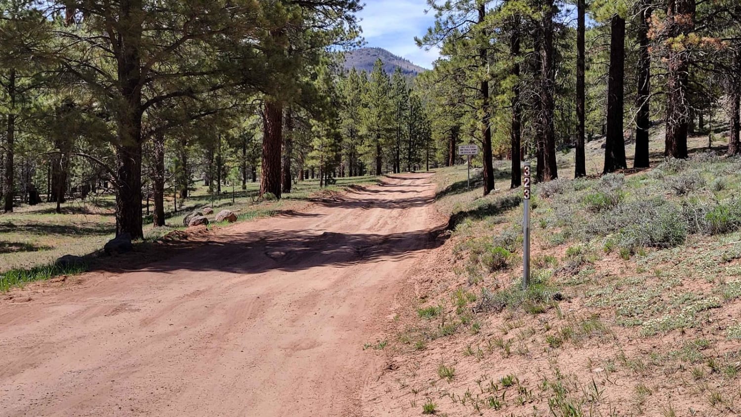
30323 - Wildcat Trail

30323 - Wildcat Trail

From off of Highway 12, this nearly 2-mile out-and-back trail dead-ends at a beautiful little meadow view. It's not flat enough to camp at, unfortunately. As far as difficulty, there are a handful of small…
Learn more about 30323 - Wildcat Trail
Total Miles
0.9
Tech Rating
2 Easy
Best Time
Spring, Summer, Fall
Learn more about 31958-B
31958-B

31958-B

This is a very short offshoot trail from 35158. It's on the advanced side with a couple of steep hill climbs, a couple of which have some rocky sections to navigate. It abruptly dead ends…
Learn more about 31958-B
Total Miles
0.6
Tech Rating
3 Easy
Best Time
Spring, Summer, Fall
Learn more about 35158 - Pleasant Cr Trail
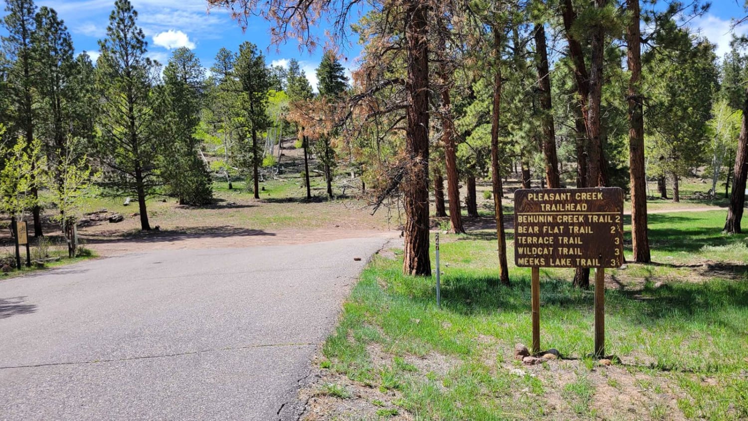
35158 - Pleasant Cr Trail

35158 - Pleasant Cr Trail

This is actually part of the Great Western Trail - a hiking route that spans North/South from Mexico to Canada. Hikers could be present on the trail, so please be respectful. The trail begins with…
Learn more about 35158 - Pleasant Cr Trail
Total Miles
4.5
Tech Rating
3 Easy
Best Time
Spring, Fall, Summer
Learn more about 3D
3D

3D

3D gets its name from the outstanding overlook views. This trail is great for families but may push the limits of some stock vehicles. 3D will take you to the bottom of the canyon and…
Learn more about 3D
Total Miles
18.8
Tech Rating
4 Moderate
Best Time
Spring, Summer, Fall, Winter
Learn more about 5 Miles of Hell
5 Miles of Hell

5 Miles of Hell

This is singletrack at its finest. 5 Miles of Hell is a very difficult trail for motorcycles. It starts off at the trailhead off of Red's Canyon Road. From the parking lot, the trail goes…
Learn more about 5 Miles of Hell
Total Miles
18.5
Tech Rating
10 Difficult
Best Time
Spring, Fall, Winter
Learn more about 6115
6115

6115

6115 is an easy dirt road near Big Water, Utah, that connects South Jacobs Tanks Road to Cedar Mountain Road 1094. It is a main thoroughfare to access lots of the OHV trails in this…
Learn more about 6115
Total Miles
3.2
Tech Rating
3 Easy
Best Time
Spring, Winter, Fall
Learn more about 6120
6120

6120

6120 is a 4-mile-long dirt road that starts at Highway 89 at a dirt turnoff. It goes right next to some private property, starting easy on a mix of hard-packed dirt and sand. It goes…
Learn more about 6120
Total Miles
4.0
Tech Rating
3 Easy
Best Time
Spring, Winter, Fall
Learn more about 7 Mile Pass Exit
7 Mile Pass Exit

7 Mile Pass Exit

This is the exit from BLM 7 Mile Pass to the Little Moab North entrance road. It is not technical and is part-way along private land. Watch for deer in the foothills and cattle on…
Learn more about 7 Mile Pass Exit
Total Miles
2.2
Tech Rating
1 Easy
Best Time
Spring, Summer, Fall
Learn more about 8-Mile Springs
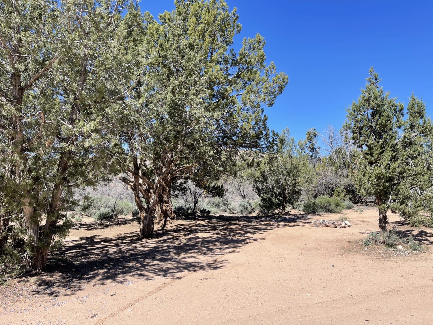
8-Mile Springs

8-Mile Springs

This trail heads up a canyon where a short hike would lead to 8-mile springs. There is plenty of dispersed camping spots and fire rings. Choose whether you prefer a view or some lovely shade…
Learn more about 8-Mile Springs
Total Miles
2.7
Tech Rating
2 Easy
Best Time
Fall, Spring
Learn more about 842
842

842

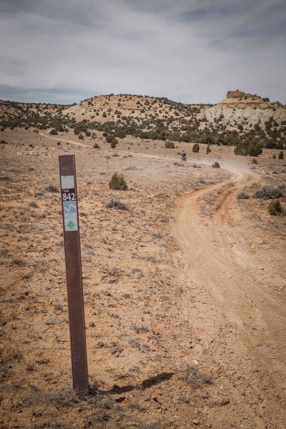
Trail 842 is a short and easy connector trail from Temple Mountain Road to the trailheads for the Green and Blue trails in the 5 Miles of Hell Trail System. It's a dirt trail with…
Learn more about 842
Total Miles
3.4
Tech Rating
2 Easy
Best Time
Winter, Spring, Fall
Learn more about 843 Connector
843 Connector

843 Connector

Trail 843 starts at the intersection with Trail 845 as a wide sandy wash. The wash narrows as you go north, and has lots of rock slabs within the wash, but no difficult obstacles. The…
Learn more about 843 Connector
Total Miles
1.2
Tech Rating
2 Easy
Best Time
Spring, Fall, Winter
Learn more about 845 Connector
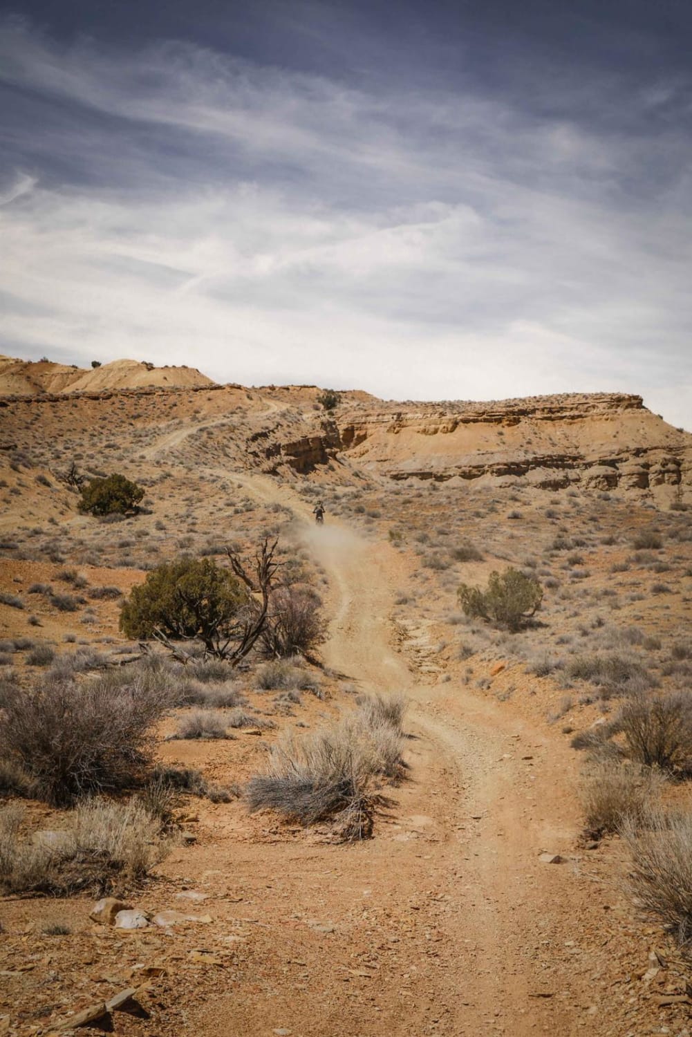
845 Connector

845 Connector

845 is a short connector trail from the south end of the Orange Trail to connect to 843 and VJ trail. The trail is mostly road width, and curves around a few desert mesas in…
Learn more about 845 Connector
Total Miles
2.2
Tech Rating
1 Easy
Best Time
Winter, Fall, Spring
Learn more about 89 Parallel
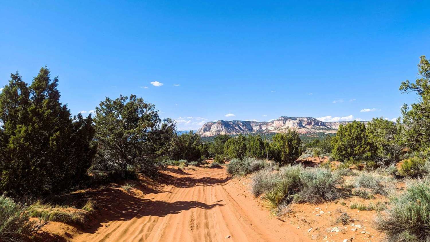
89 Parallel

89 Parallel

This trail connects the Barracks area, where many enjoy camping along the east fork of the Virgin River, up to an extensive trail system to the south. You can use this route to get to…
Learn more about 89 Parallel
Total Miles
2.8
Tech Rating
3 Easy
Best Time
Spring, Summer, Fall, Winter
Learn more about A Ridgeline Romp
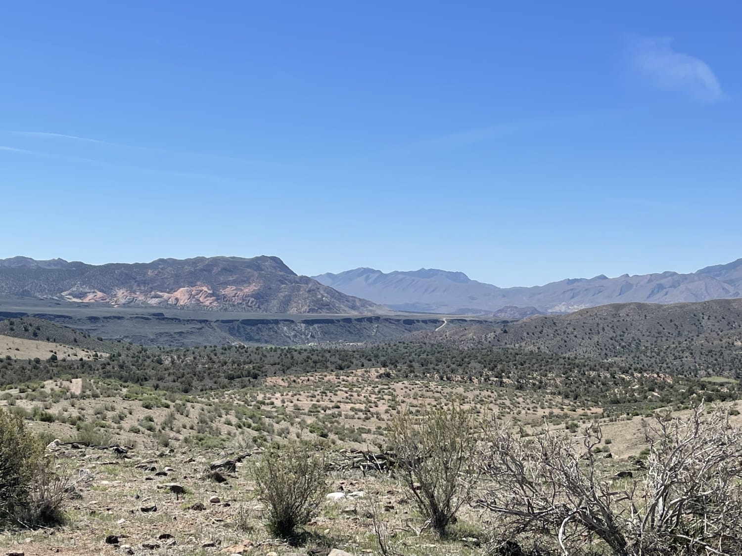
A Ridgeline Romp

A Ridgeline Romp

This stunning two-track trail runs along the Ridgeline to the valley below. For the best views, it's recommended to take it from top to bottom. There are a few flat spots for camping. However, no…
Learn more about A Ridgeline Romp
Total Miles
2.0
Tech Rating
4 Moderate
Best Time
Fall, Spring
1 2 3 4 5 6 7 8 9 10 ... 73

The onX Offroad Difference

onX Offroad combines trail photos, descriptions, difficulty ratings, width restrictions, seasonality, and more in a user-friendly interface. Available on all devices, with offline access and full compatibility with CarPlay and Android Auto. Discover what you’re missing today!